Elevation of Ben Nevis Way, Yorba Linda, CA, USA
Location: United States > California > Orange County > Yorba Linda >
Longitude: -117.70973
Latitude: 33.8884689
Elevation: 305m / 1001feet
Barometric Pressure: 98KPa
Elevation Map:
Satellite Map:
Related Photos:

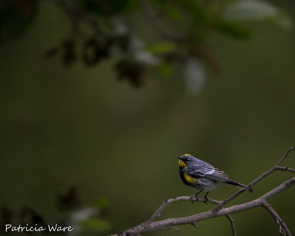
New Monarch
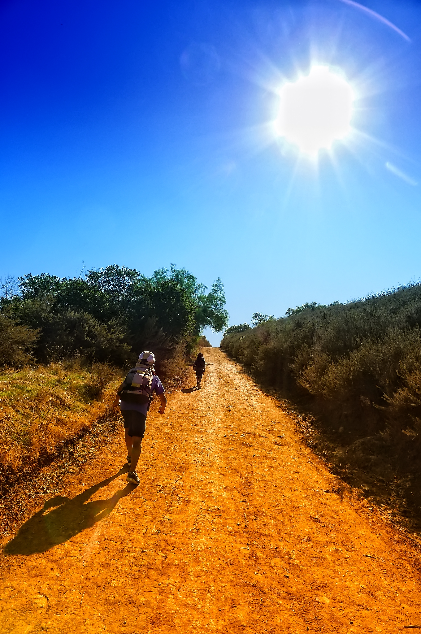
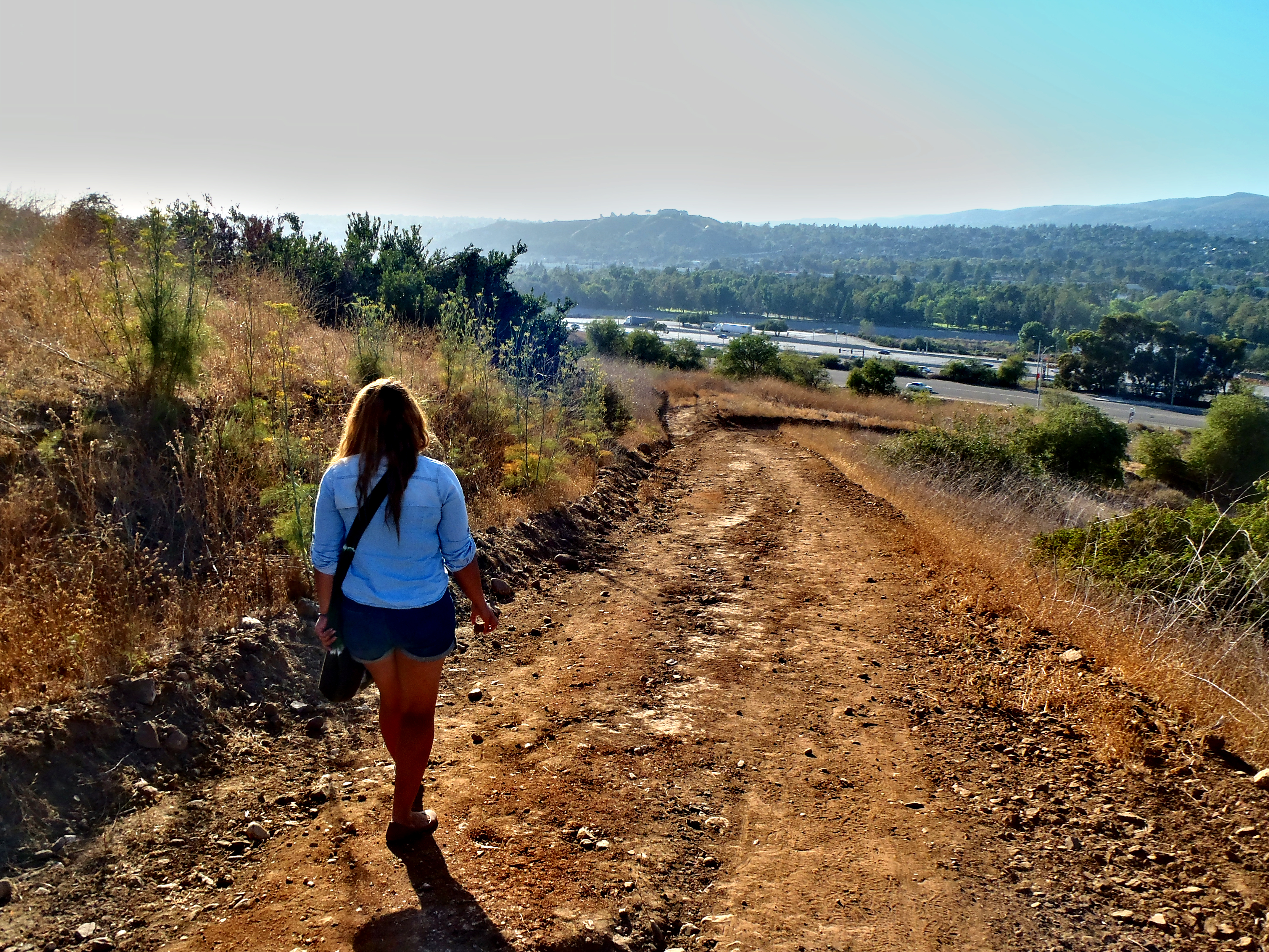
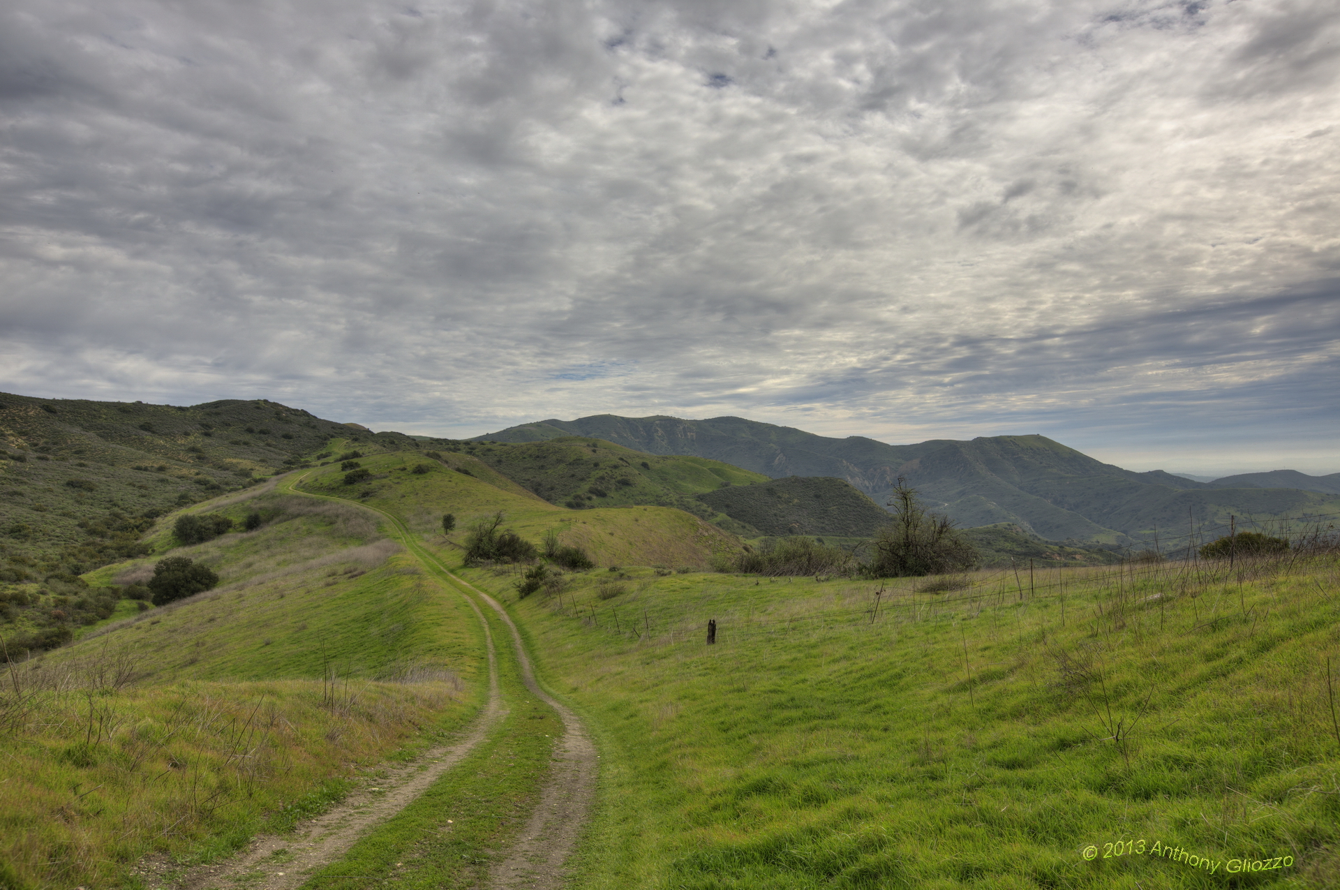
Hiking Higher

Corsair Getting some Rays
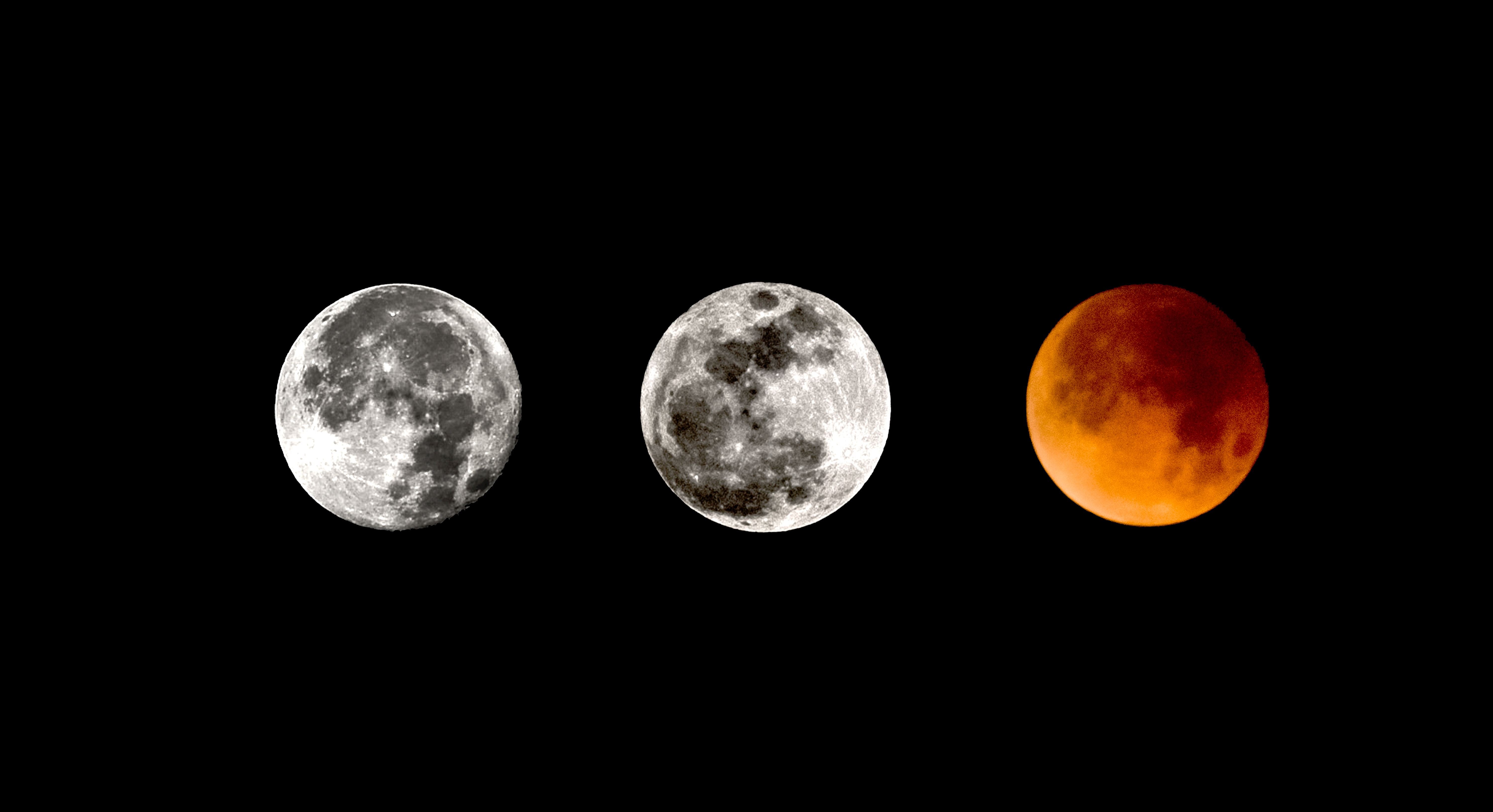
2017/18 Supermoon Trilogy Triptych
Small and Active

Ring-billed Gull
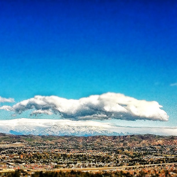
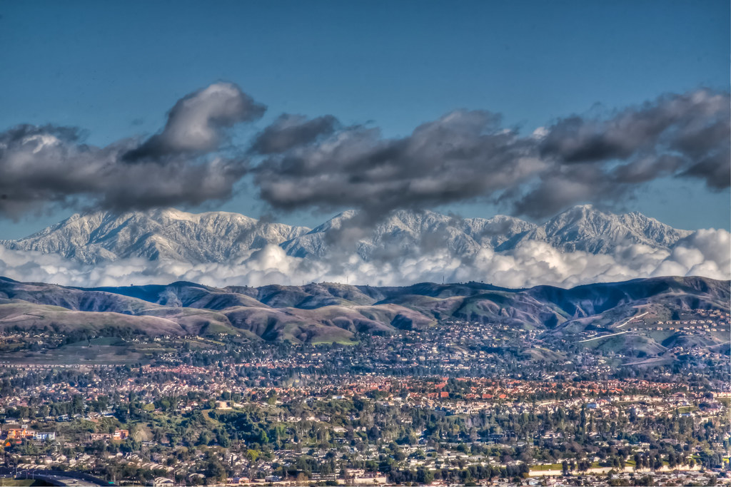
View to snow covered foothills in Orange County.
It's a Big, Small World After All
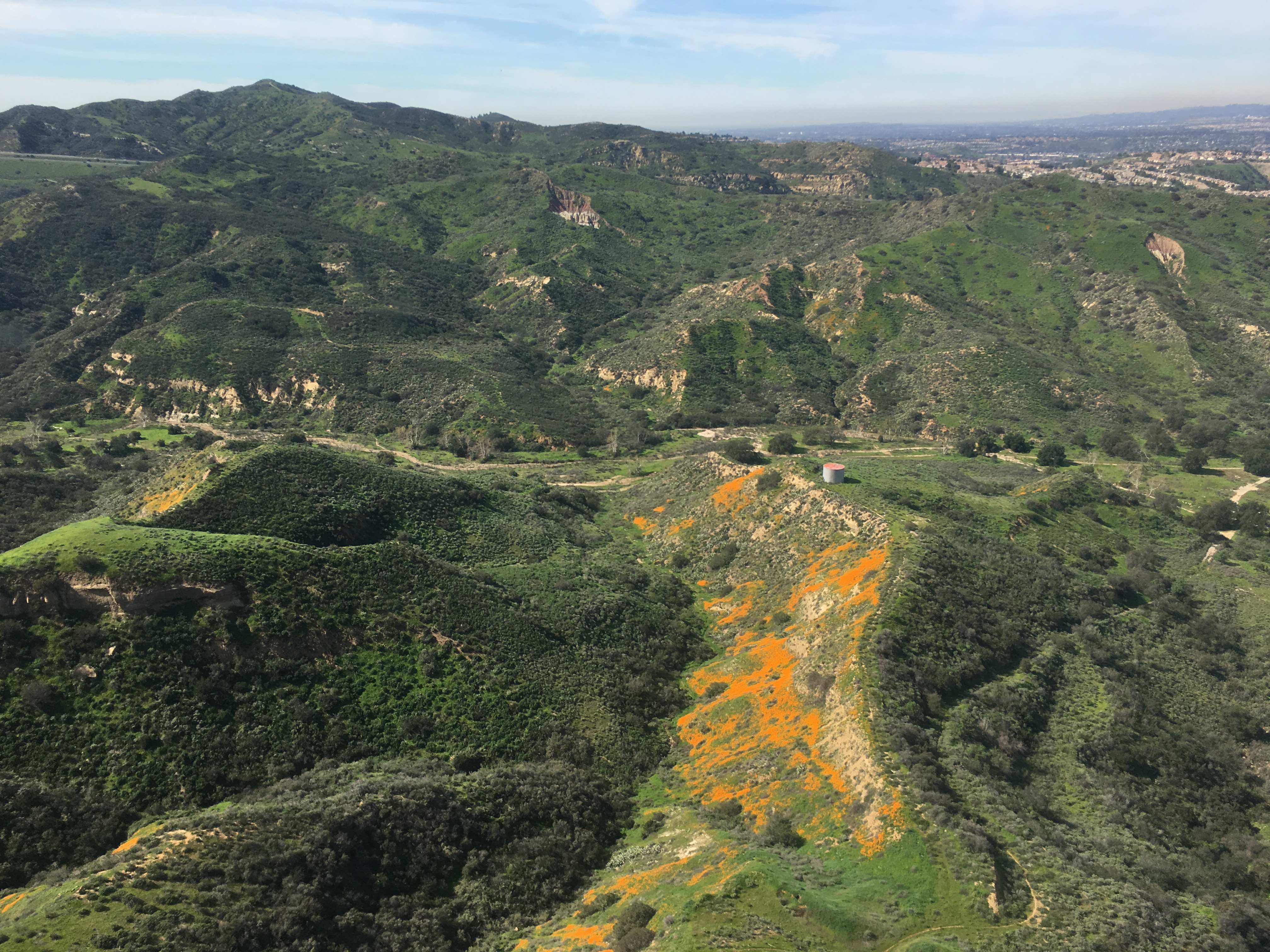
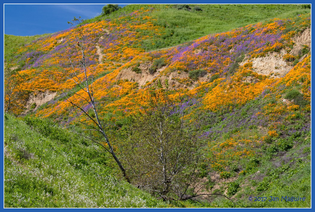
Gypsum Canyon Poppies
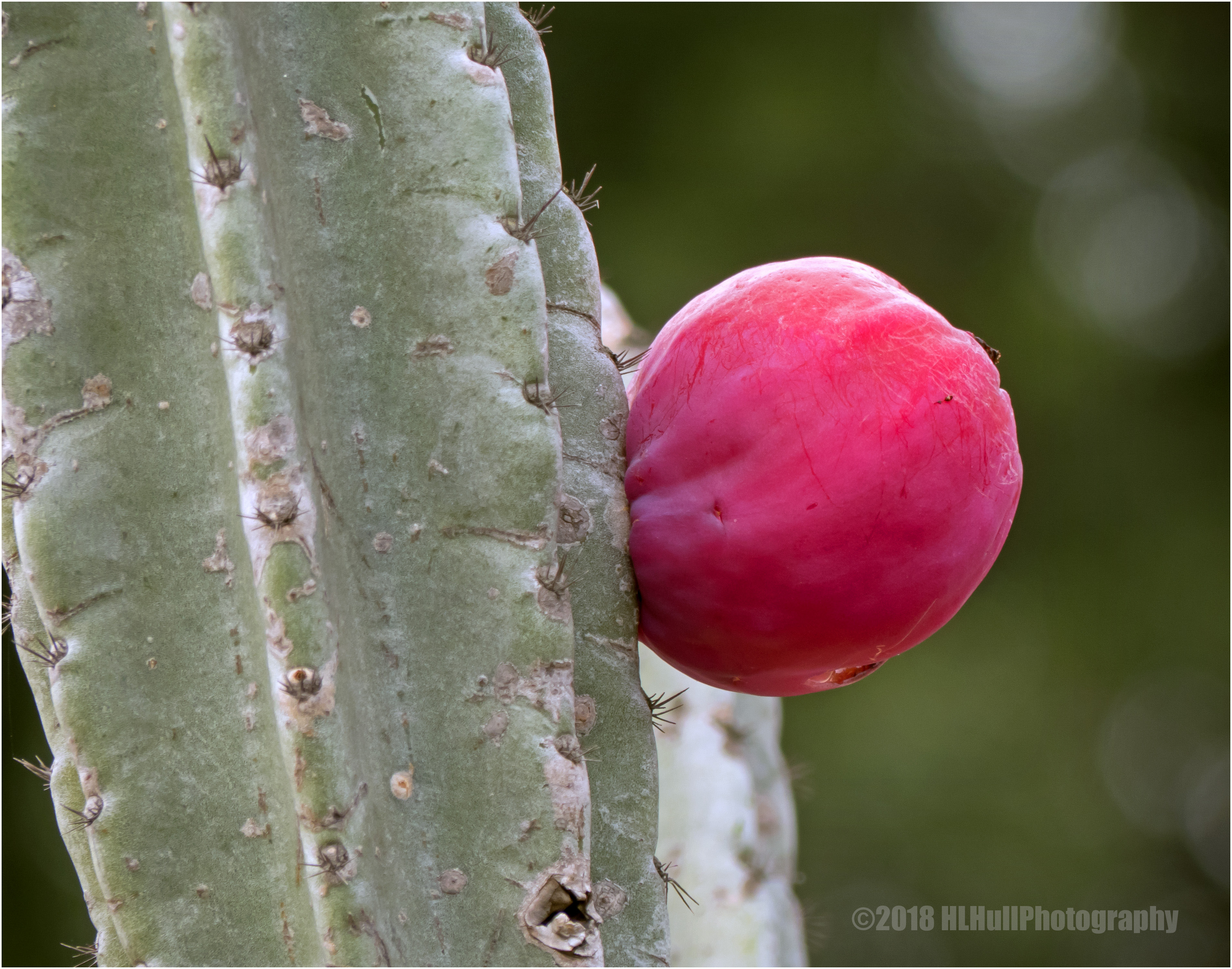
Peruvian apple cactus...

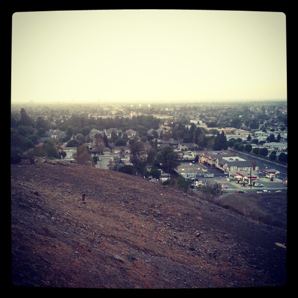
Suburban Bokeh, Orange County

#instacollage#italy #uk #us #uci #ucla #coco #ca #amazing #love #losangeles #mouthgasm #brazil #brazil2014 #beverlyhillsb #vegas #view #california #sf #sanfranciscobay

Olive-backed Pipit (19572) Alert pose (Side View)
Friday night cocktails with a view.
"West Loma Trail" 3 Limestone Canyon - Southern California
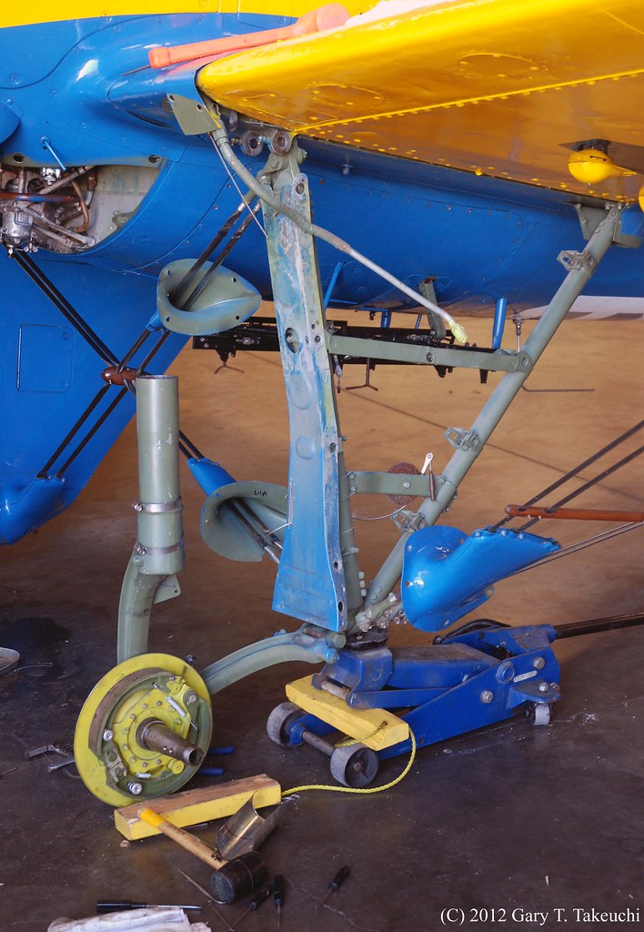
Planes of Fame Air Museum - DSC_3264c
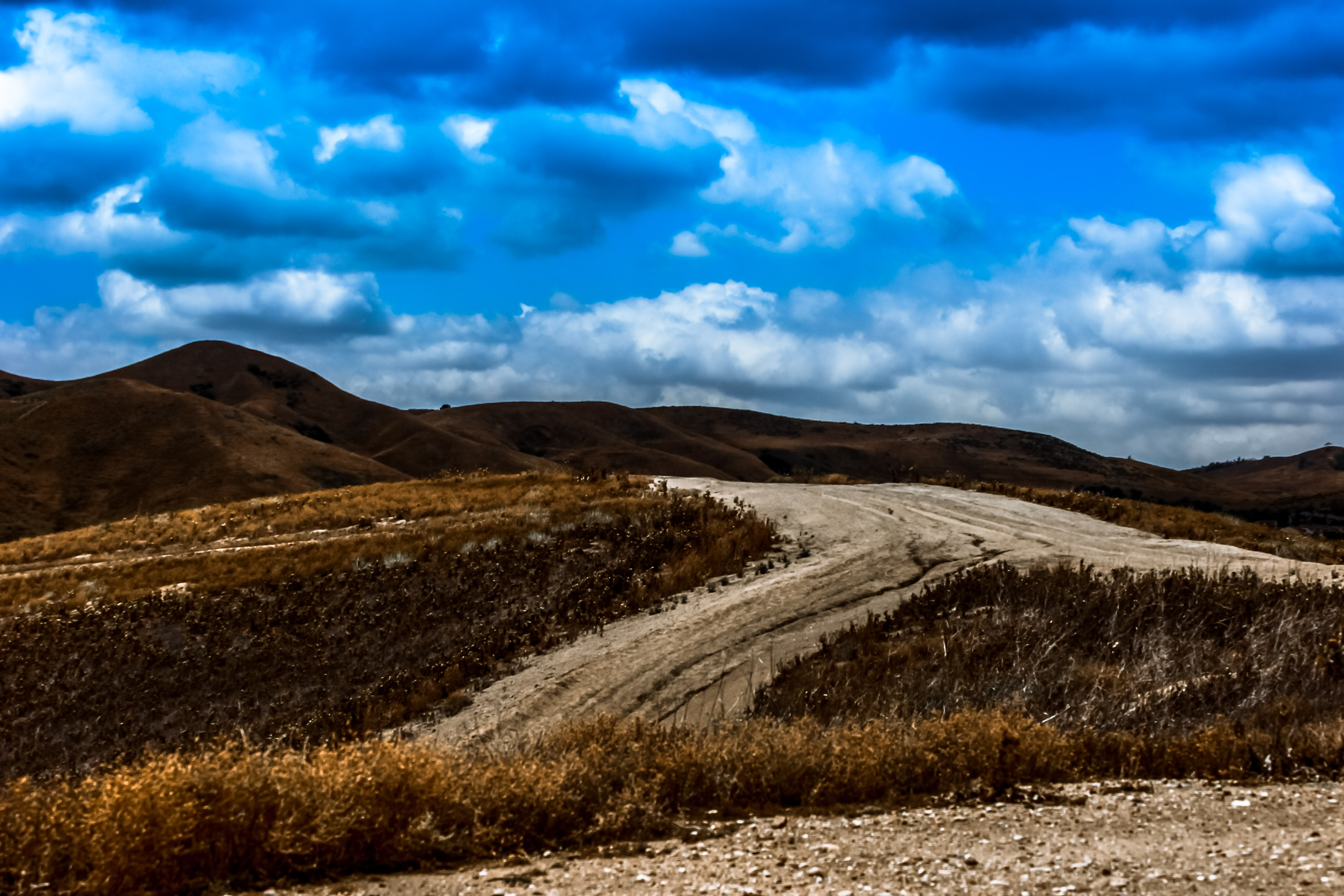
After The Storm
View from Orange County Mining Co. Restaurant

Come to my window

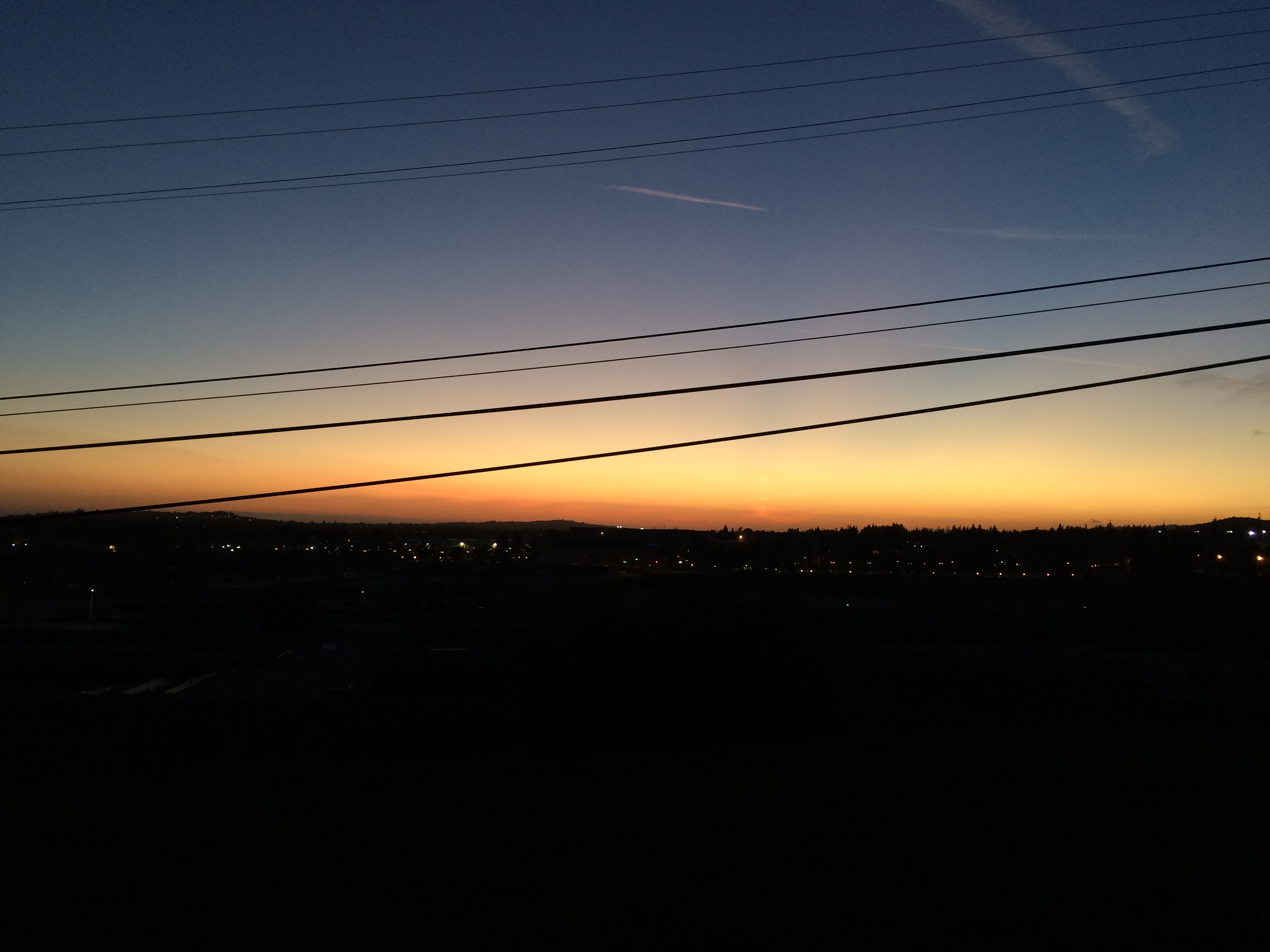
View - Sunset

Burrow Cleaning Lesson 9776

Telegraph Canyon 116
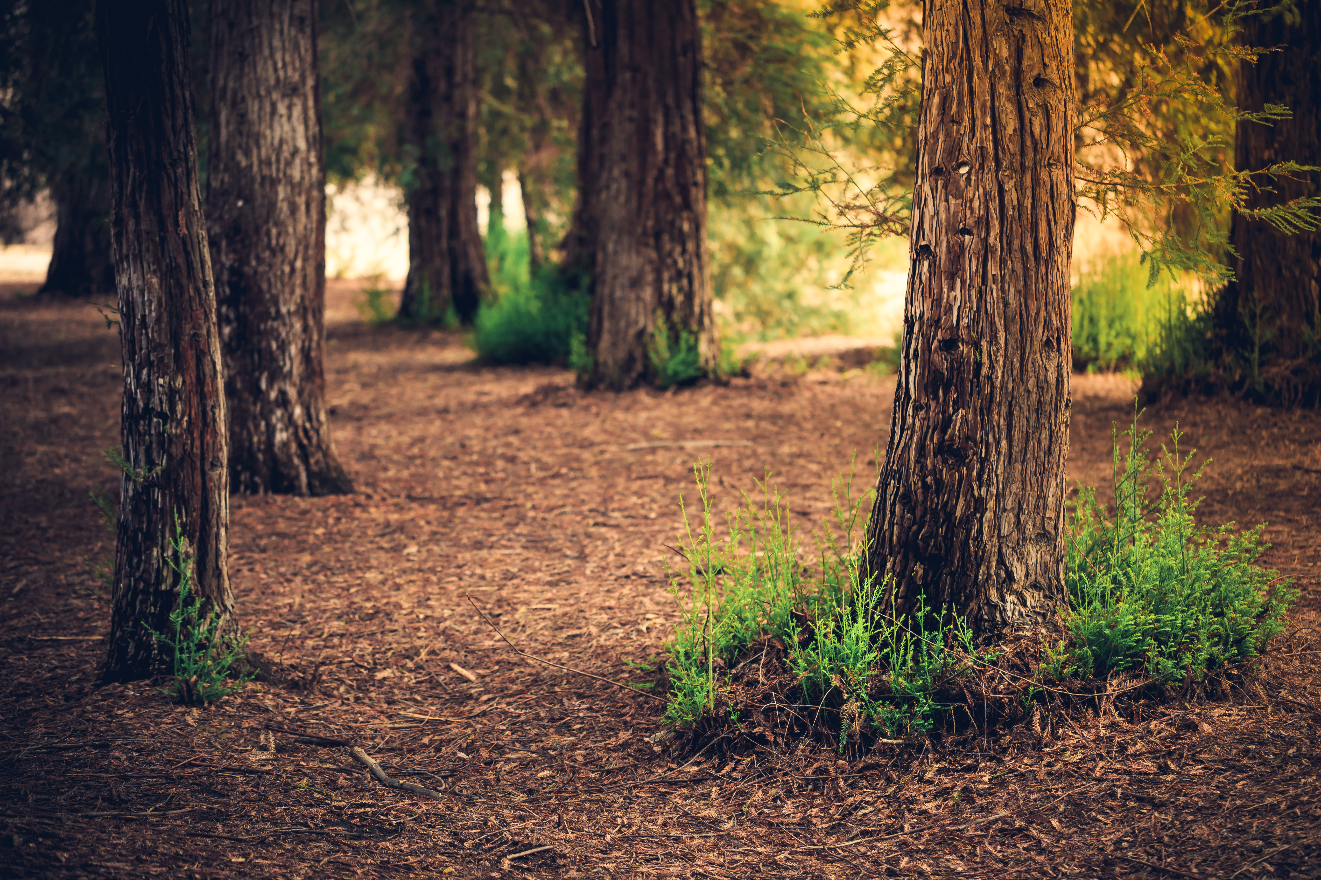
Sunset in the Empty Forest
Chino Hills 5630
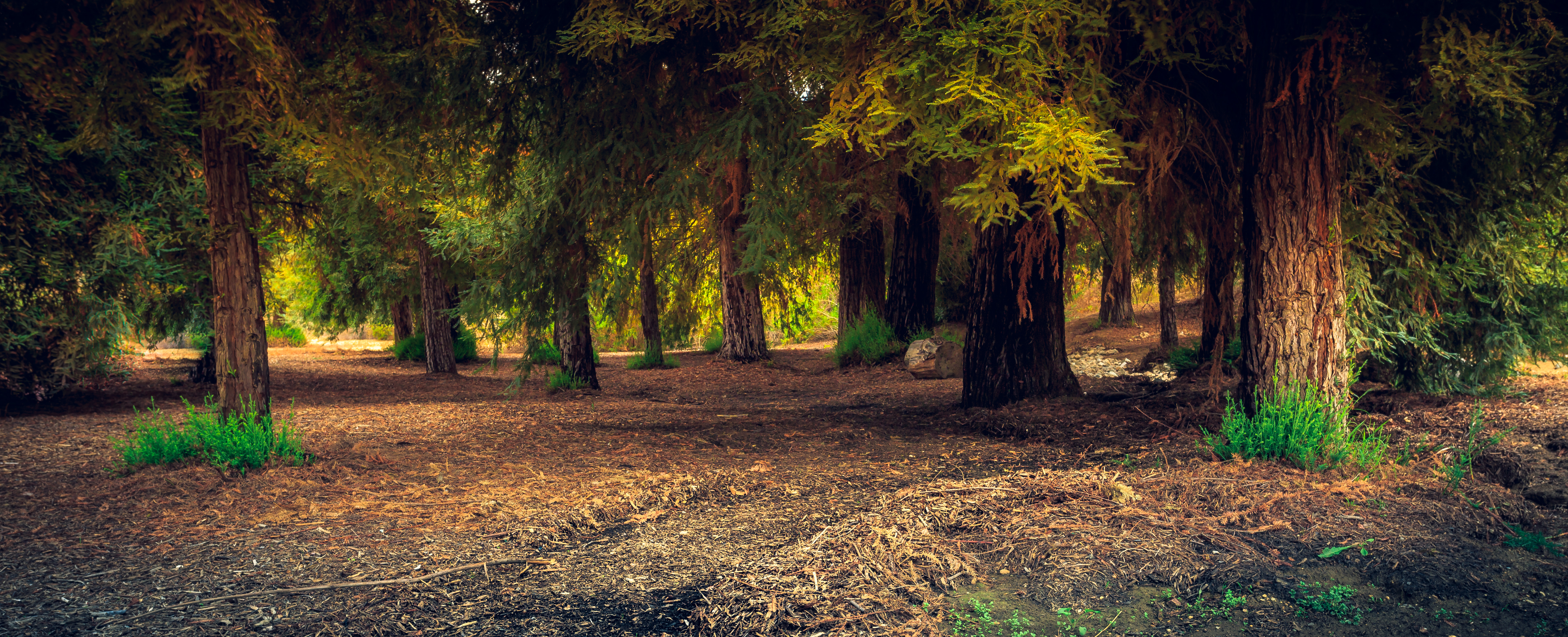
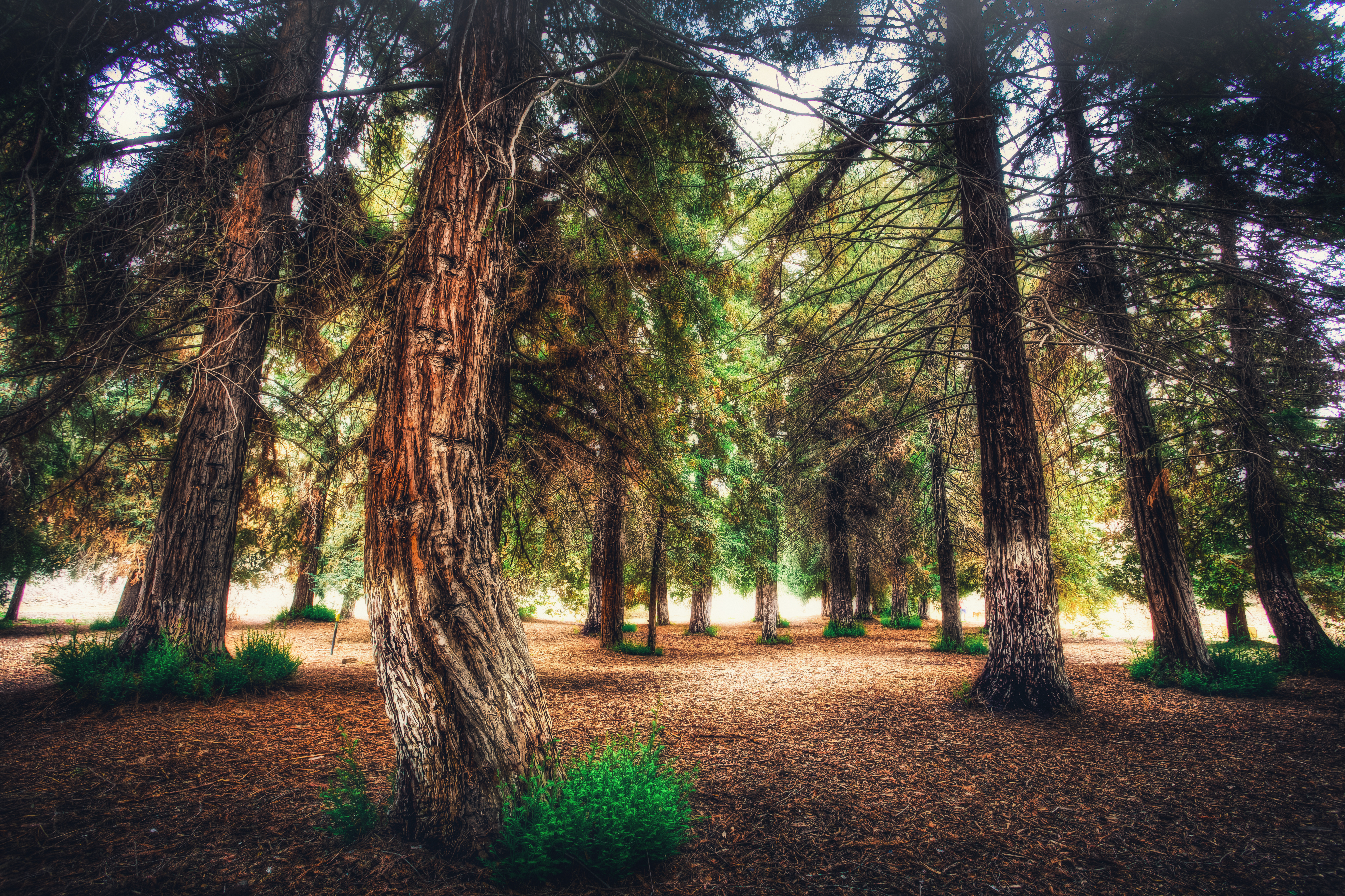
A Redwood Forest Landscape
Carbon Canyon 42

Desert come to life

#new#travel#followme#tourism#instagramers#photolover#tbt#lol#nature#vivid#color#blue#sky#myart#egypt#redSea#tabaheight#justanidea#fun#lol#stillphoto#snapshot#peace#samiaphotography.com#losangeles#california#usa
#new#landscape#nature#SantaAna#River#instamood#tbt#lol#sky#blue#parks#outdoors#summer#heat#Anaheim#CA#USA
#new#landscape#nature#SantaAnaRiver#instalove#lol#tbt#blue#sky#parks#outdoors#summer#heat#Anaheim#justanidea#express#yourself#CA#USA
Orange County
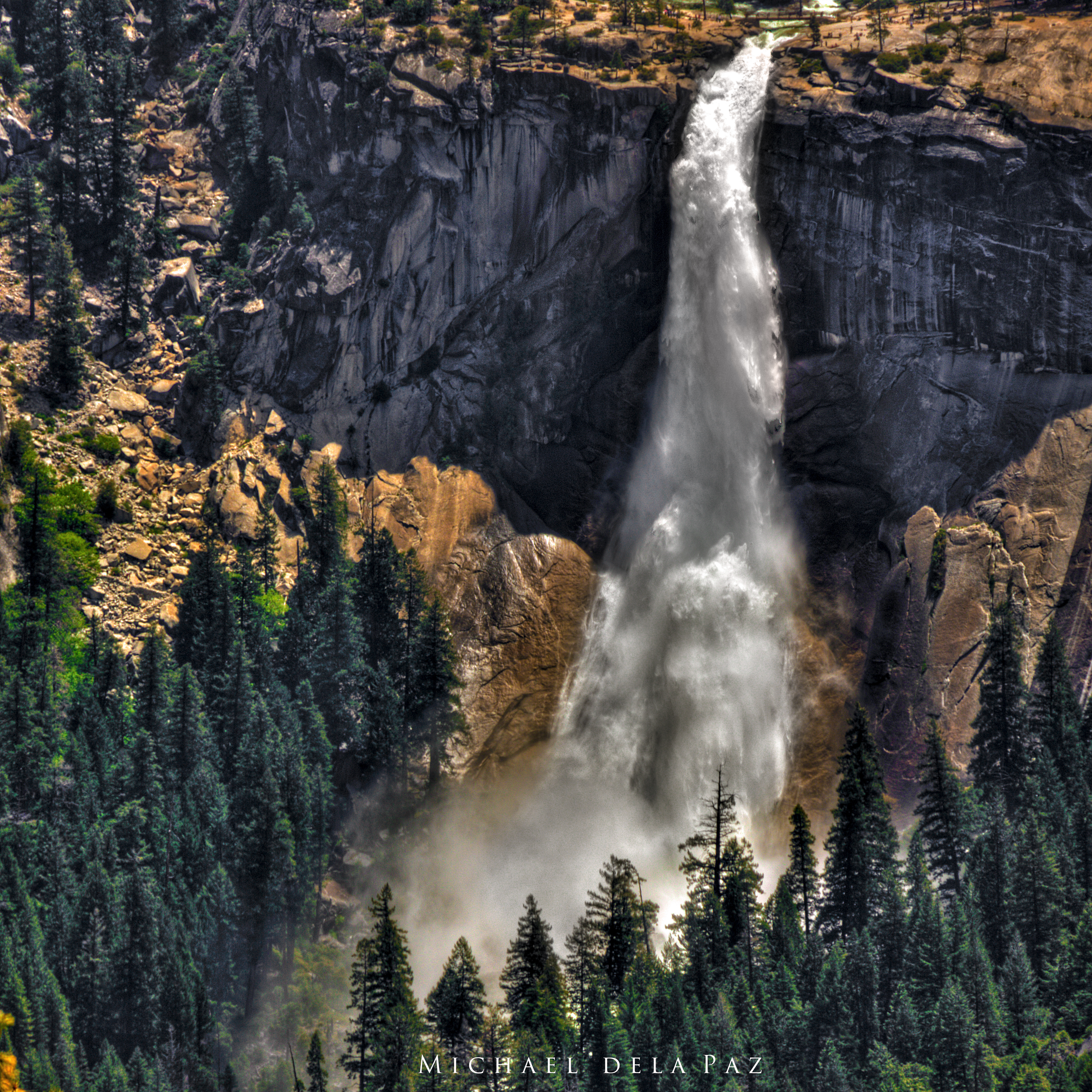
Nevada Falls

rolling blues and golds
Orange County
Walnut Canyon Reservoir
Above the fog below the clouds. #fog #sunrise #clouds #sky #dawn #thetollroads
Strange Clouds Brewing Above Me
walk trail rain cloud
Orange County
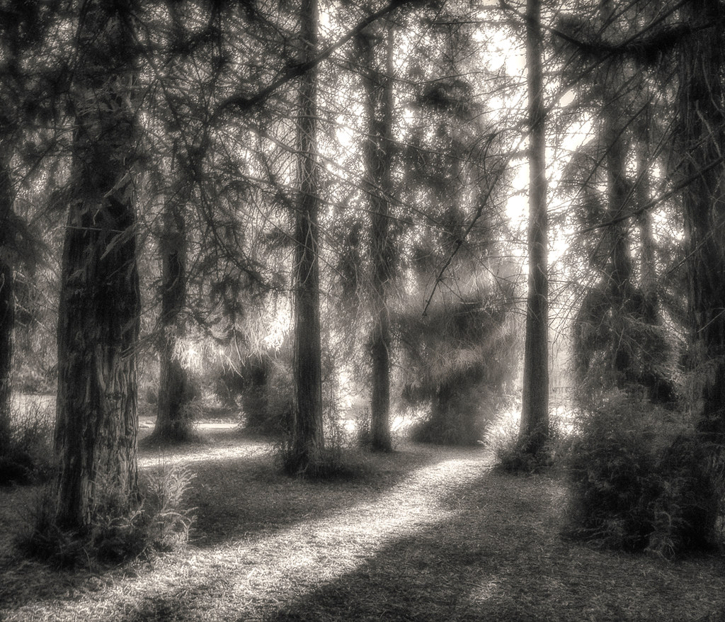
Bending Redwood Forest

Red Rock and the First Hint of Chaparral
Topographic Map of Ben Nevis Way, Yorba Linda, CA, USA
Find elevation by address:

Places near Ben Nevis Way, Yorba Linda, CA, USA:
Ben Nevis Way
5510 Cam De Bryant
River Bend Road
Hidden Glen Ln, Yorba Linda, CA, USA
5005 Hidden Glen Ln
Canyon Rv Park
5833 Portsmouth Rd
Sleeping Oak Drive
4910 Fairwood Cir
Hidden Hills Road
490 S Beechtree Ct
22725 Savi Ranch Pkwy
8721 E Wiley Way
951 S Silver Star Way
731 S Weir Canyon Rd #147
6030 Rockhampton Ct
N Jenifer Dr, Anaheim, CA, USA
5280 Vía Mariposa
925 S Cottontail Ln
Anaheim Hills
Recent Searches:
- Elevation of Leguwa, Nepal
- Elevation of County Rd, Enterprise, AL, USA
- Elevation of Kolchuginsky District, Vladimir Oblast, Russia
- Elevation of Shustino, Vladimir Oblast, Russia
- Elevation of Lampiasi St, Sarasota, FL, USA
- Elevation of Elwyn Dr, Roanoke Rapids, NC, USA
- Elevation of Congressional Dr, Stevensville, MD, USA
- Elevation of Bellview Rd, McLean, VA, USA
- Elevation of Stage Island Rd, Chatham, MA, USA
- Elevation of Shibuya Scramble Crossing, 21 Udagawacho, Shibuya City, Tokyo -, Japan