Elevation of S Beechtree Ct, Anaheim, CA, USA
Location: United States > California > Orange County > Anaheim > Anaheim Hills >
Longitude: -117.73076
Latitude: 33.8636032
Elevation: 235m / 771feet
Barometric Pressure: 99KPa
Elevation Map:
Satellite Map:
Related Photos:

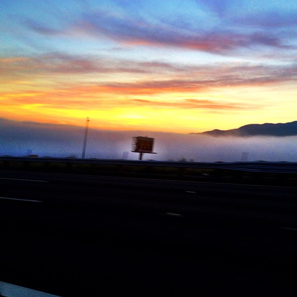
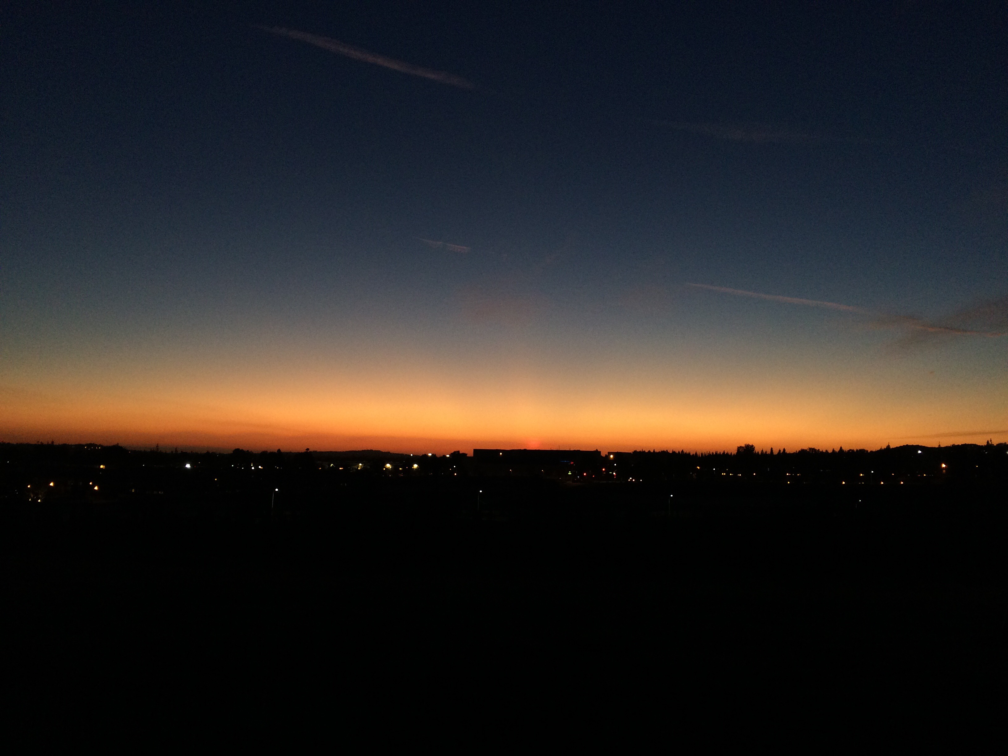
Sunrise in California
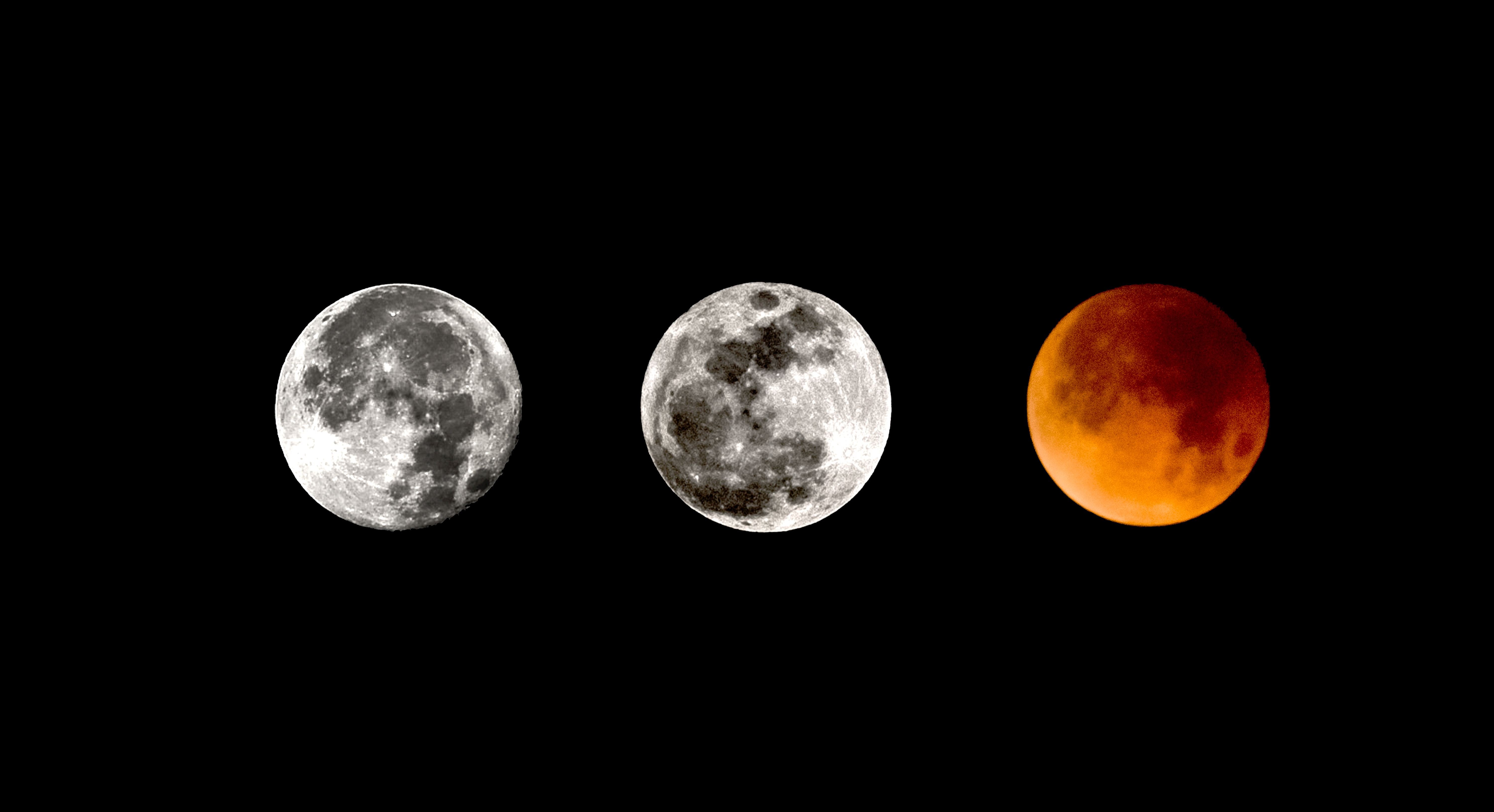
2017/18 Supermoon Trilogy Triptych
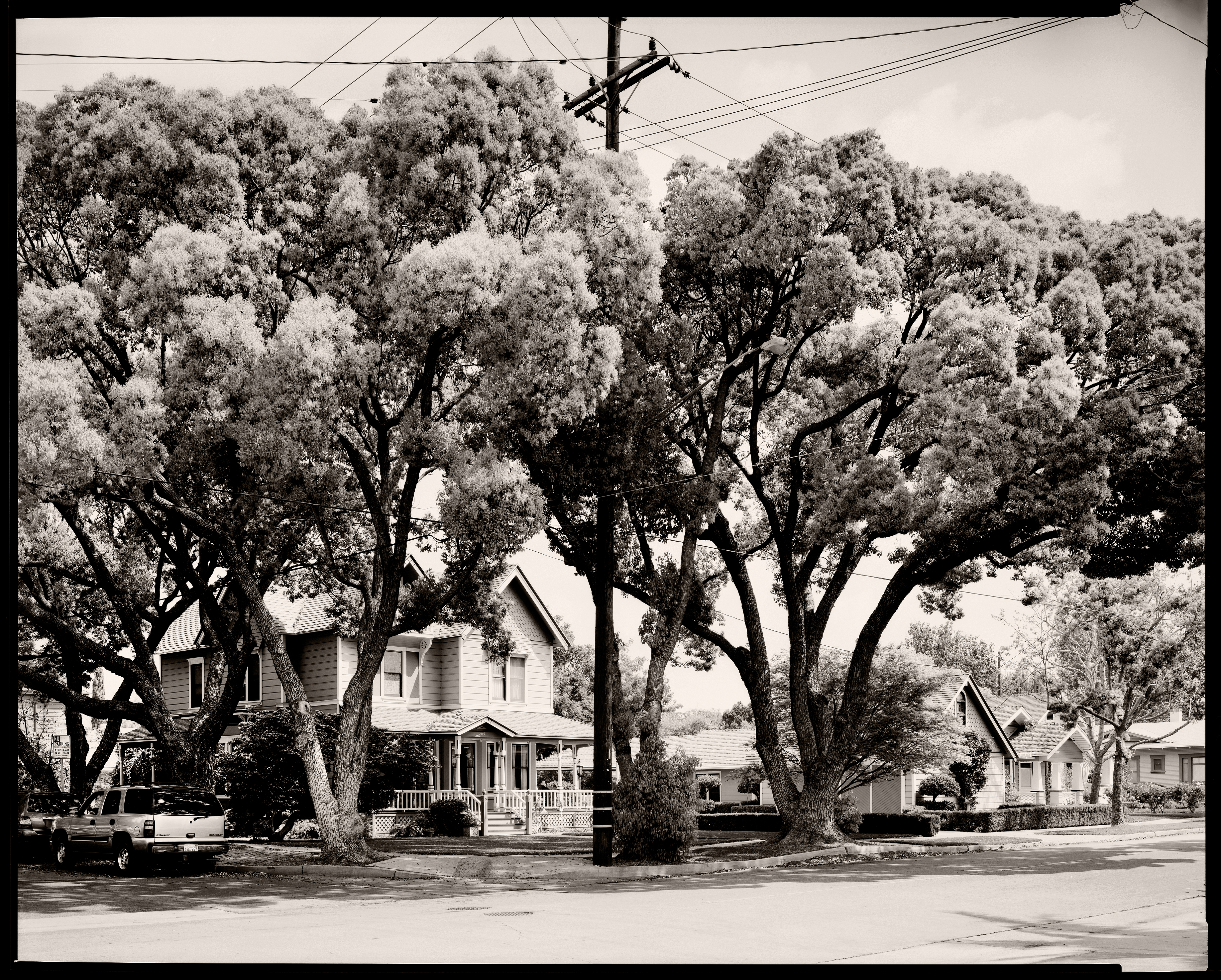
House at E. Palmyra Ave & S. Orange St.
House on East River Ave 2

ARTIC HImalayan
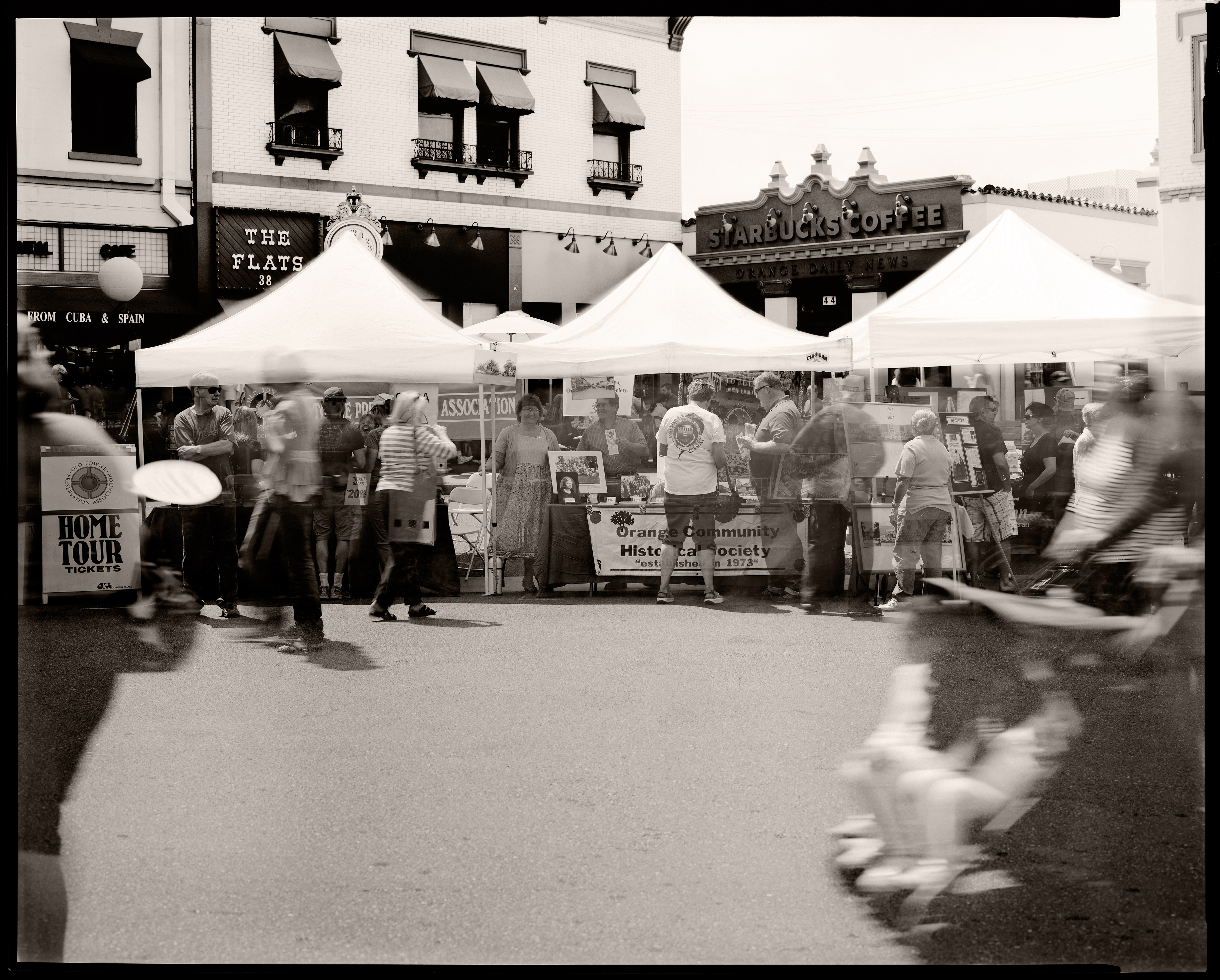
Orange Circle Street Scene
Jazz Duo
Planes of Fame Air Museum - DSC_3717c

New Monarch
Hiking Higher

My Pad Or Yours

236/365

Corsair Getting some Rays
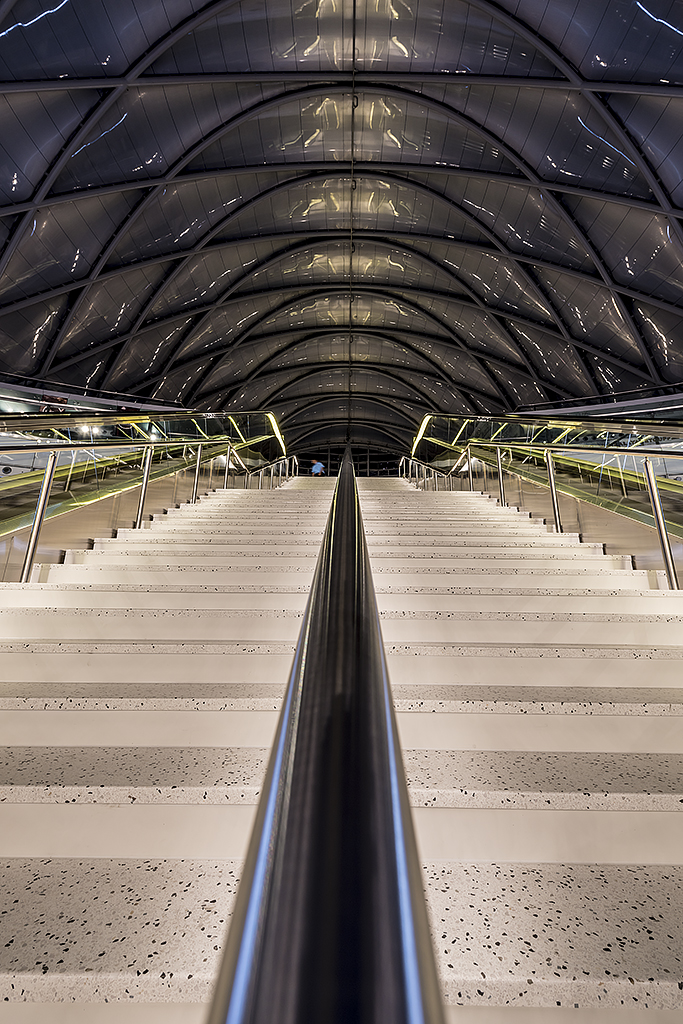
ARTIC terminal bulding viewd from stairs to train platform.

Small and Active

Ring-billed Gull
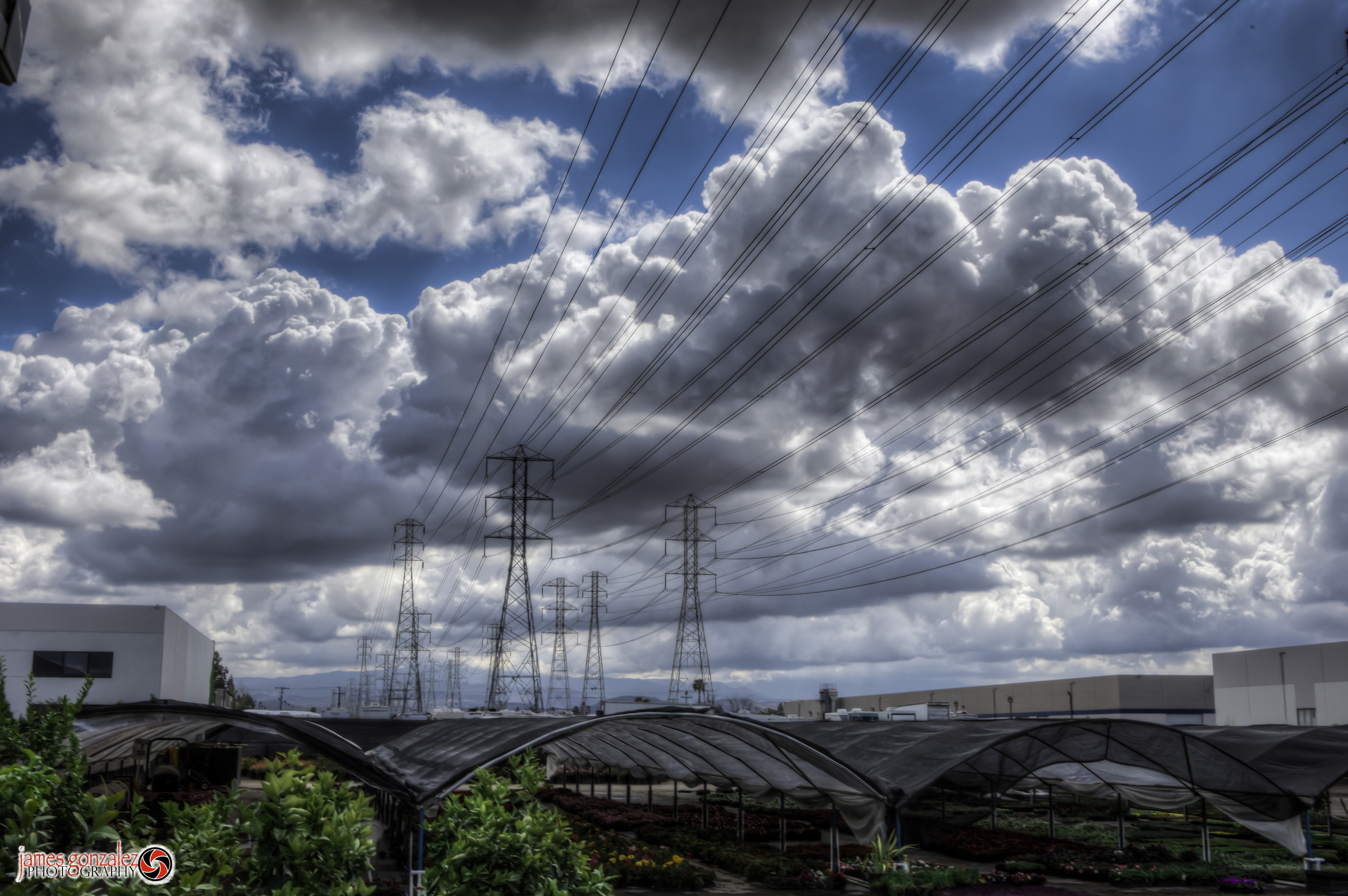
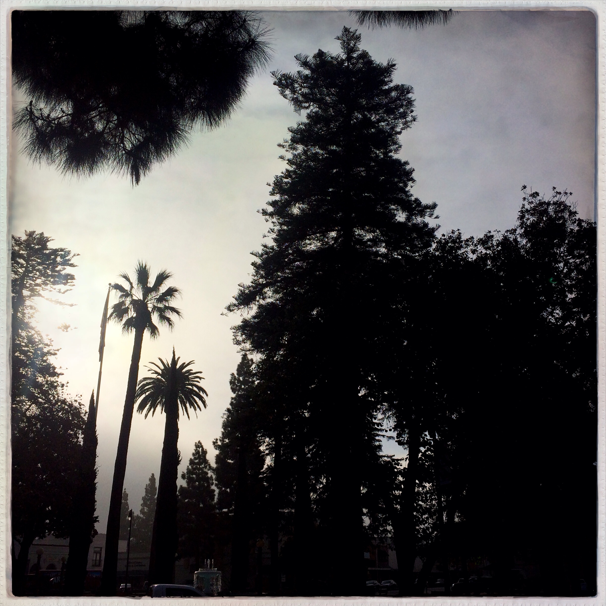
Cloudy Day

Northward view from Level 2
The lights are off but somebody is there

Figeater beetle
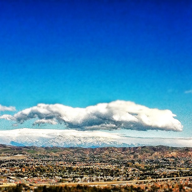
View to snow covered foothills in Orange County.
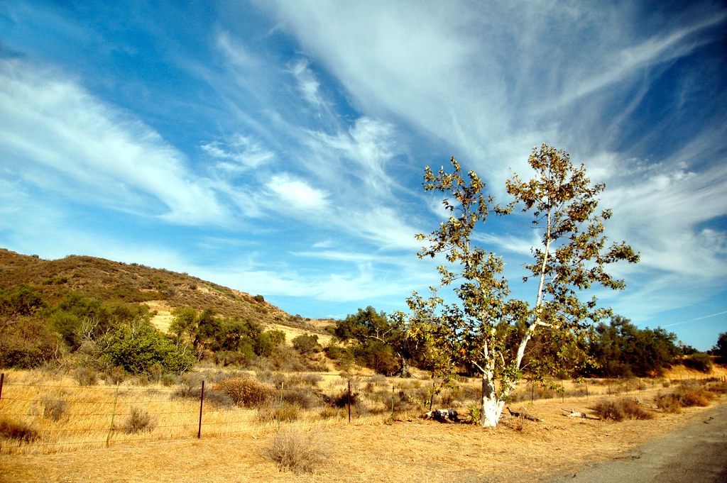
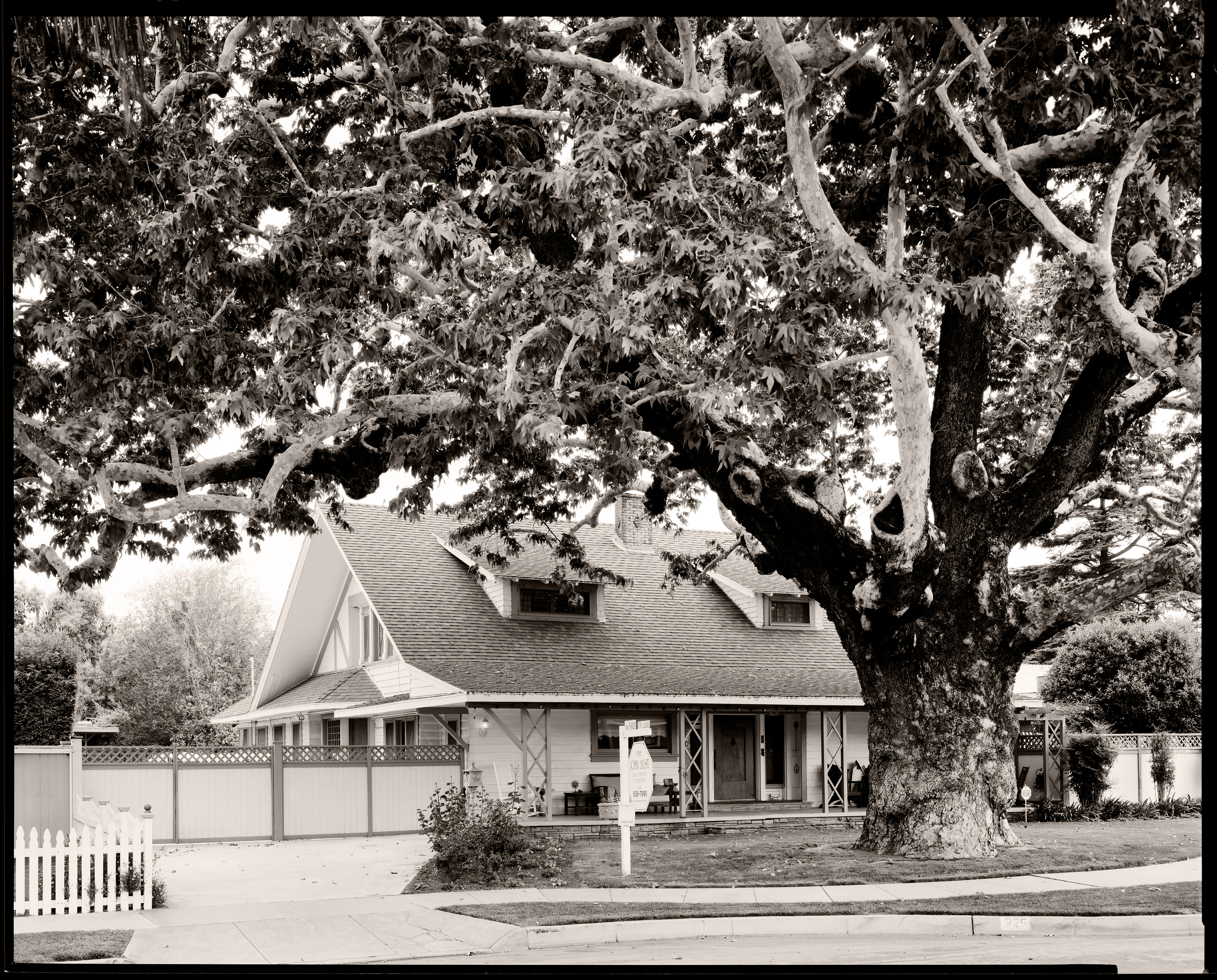
Sycamore Along the Road

skipping rocks
Above the fog below the clouds. #fog #sunrise #clouds #sky #dawn #thetollroads
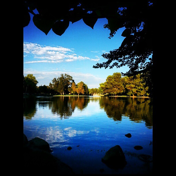
Orange County
Orange County

Telegraph Canyon 116

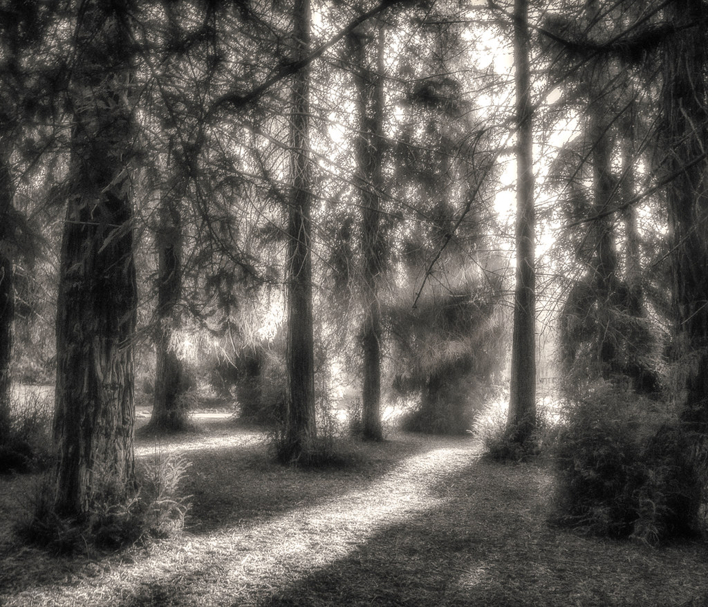
Sunset in the Empty Forest
Tranquillité
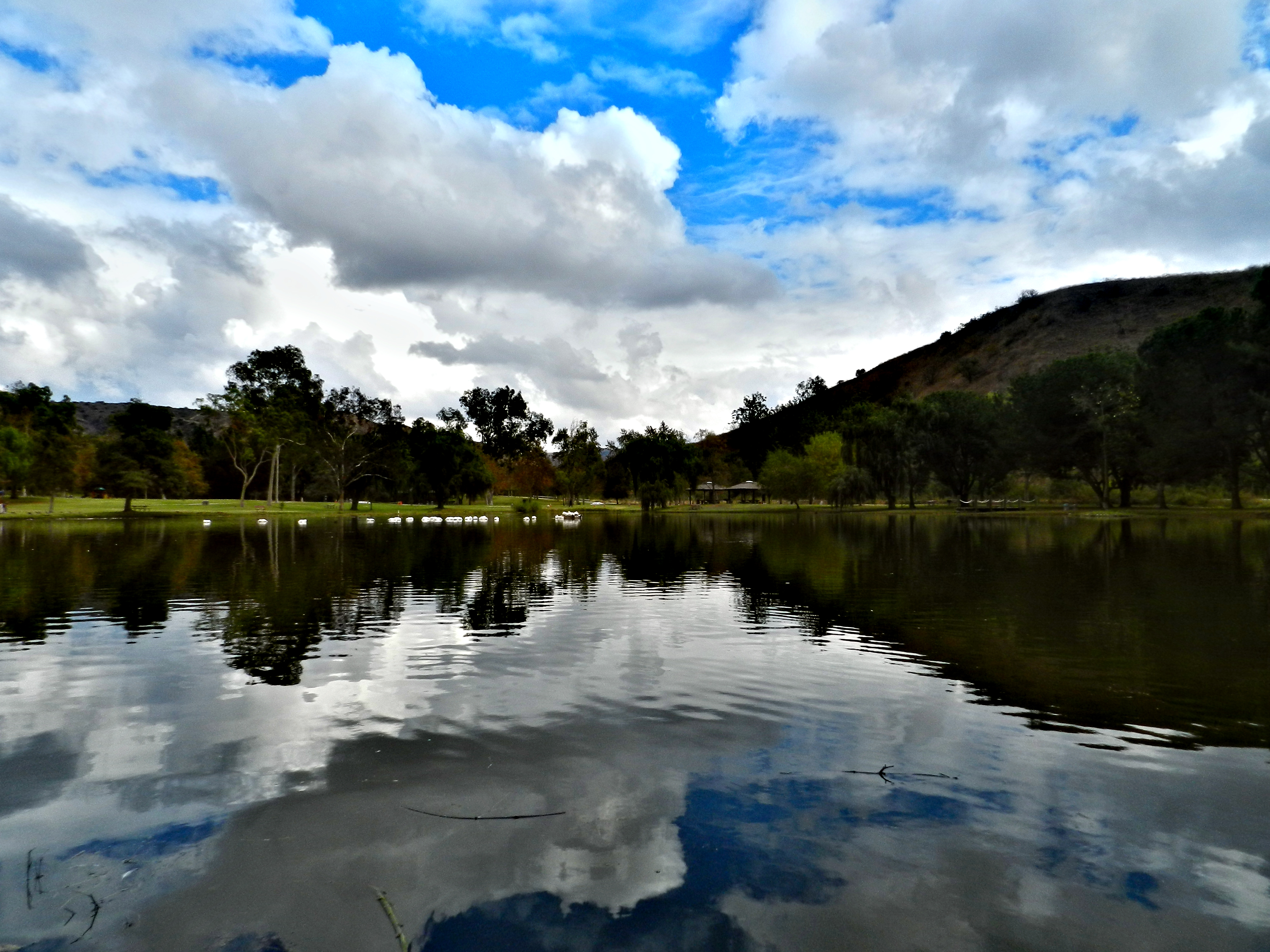
Carbon Canyon Lake
Chino Hills 5630
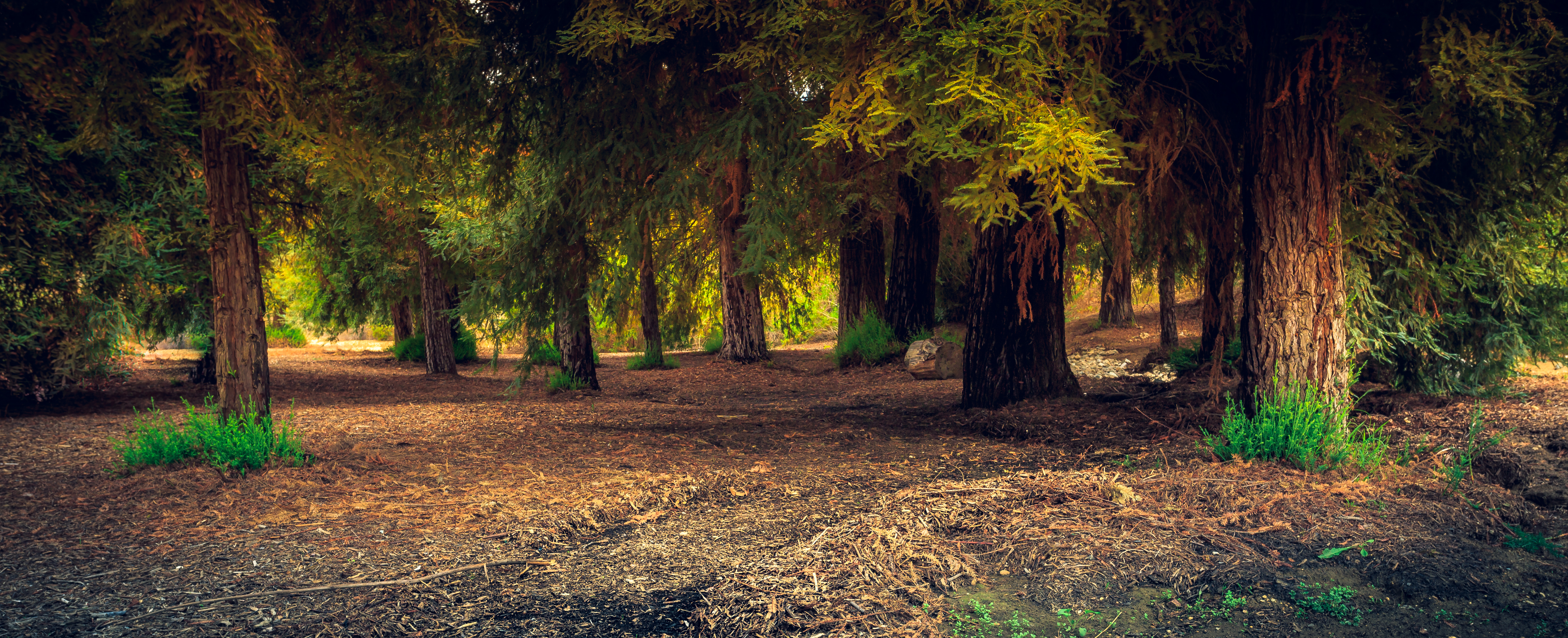
A Redwood Forest Landscape
Carbon Canyon 42

#new#travel#followme#tourism#instagramers#photolover#tbt#lol#nature#vivid#color#blue#sky#myart#egypt#redSea#tabaheight#justanidea#fun#lol#stillphoto#snapshot#peace#samiaphotography.com#losangeles#california#usa
#new#landscape#nature#SantaAna#River#instamood#tbt#lol#sky#blue#parks#outdoors#summer#heat#Anaheim#CA#USA

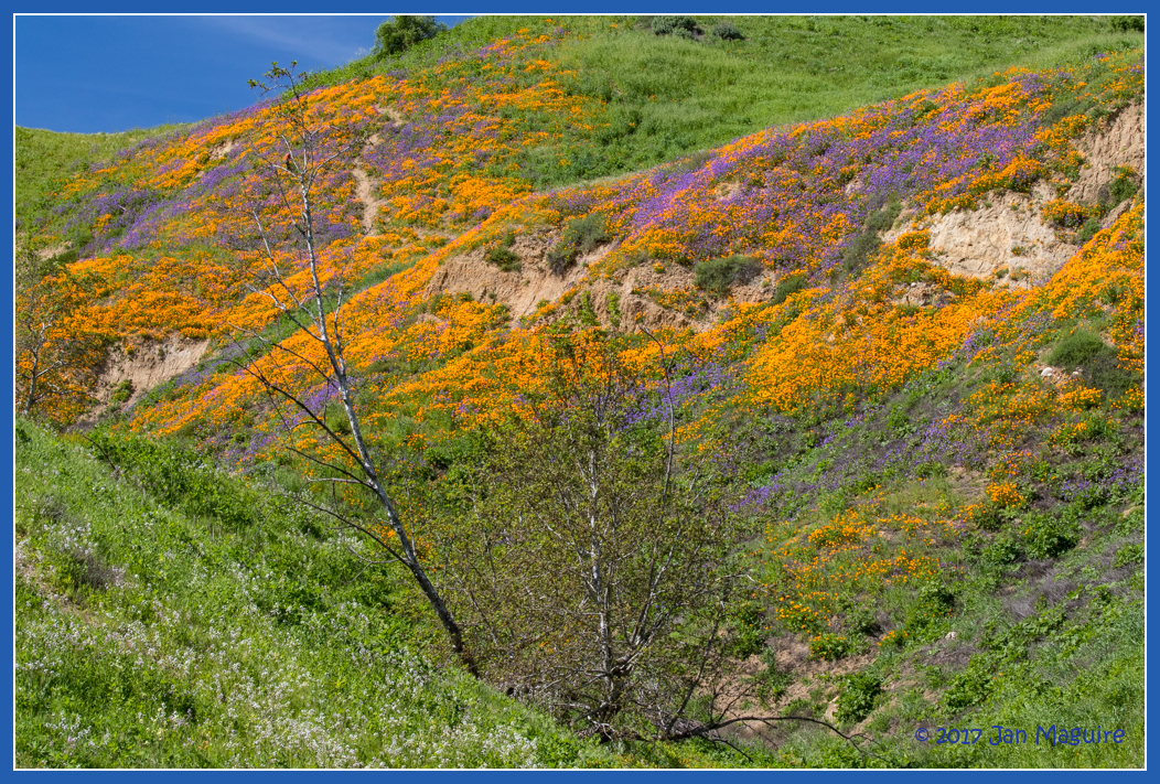
Rows of Poppies
#new#landscape#nature#SantaAnaRiver#instalove#lol#tbt#blue#sky#parks#outdoors#summer#heat#Anaheim#justanidea#express#yourself#CA#USA
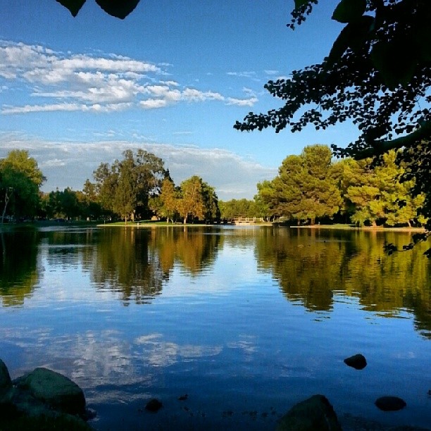
Orange County
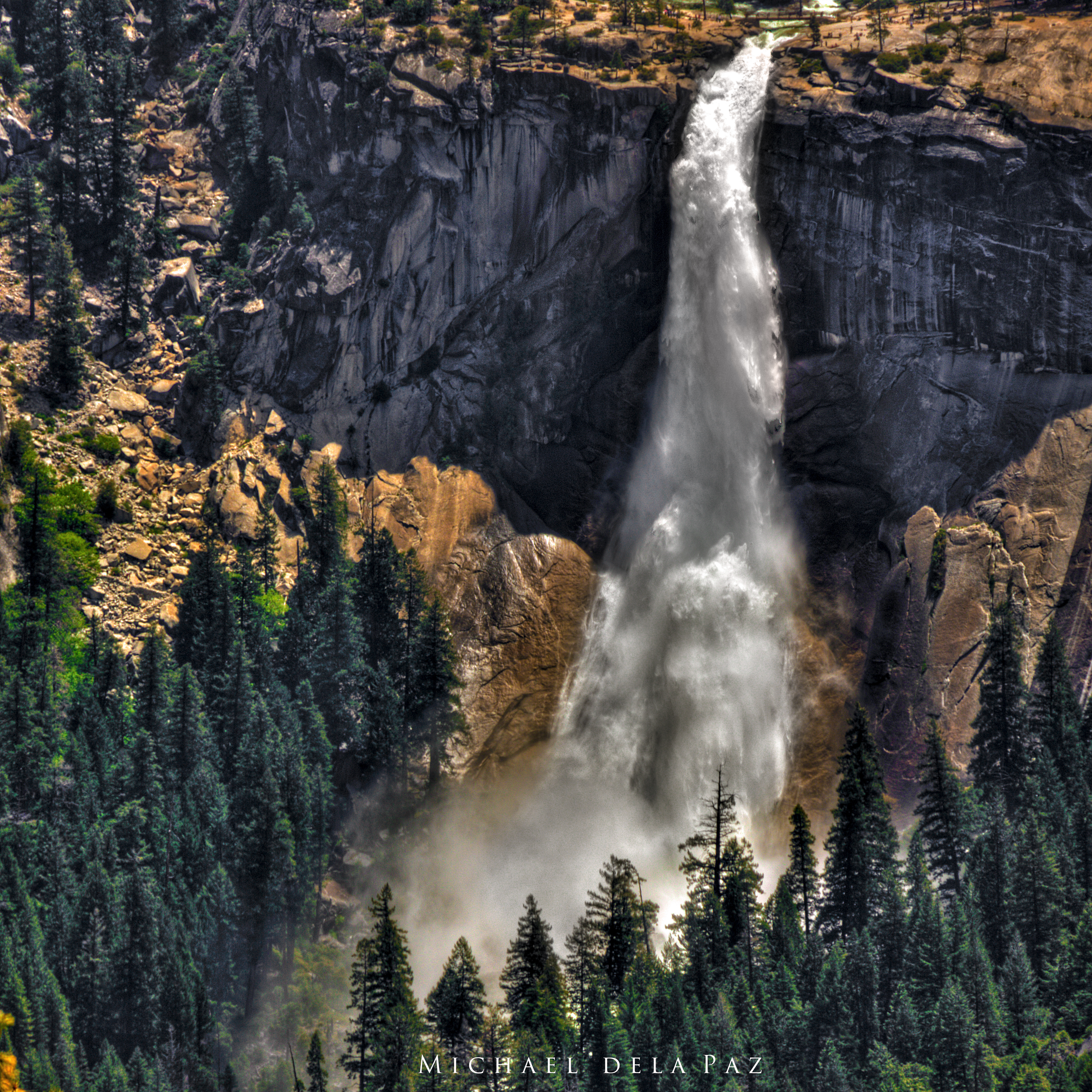
Nevada Falls
Hipstamatic_Winter_2013-2014_Musing__025

Orange County
Topographic Map of S Beechtree Ct, Anaheim, CA, USA
Find elevation by address:

Places near S Beechtree Ct, Anaheim, CA, USA:
951 S Silver Star Way
731 S Weir Canyon Rd #147
8721 E Wiley Way
5833 Portsmouth Rd
22725 Savi Ranch Pkwy
Canyon Rv Park
925 S Cottontail Ln
Sleeping Oak Drive
Anaheim Hills
Hidden Hills Road
851 S Bluebird Cir
N Jenifer Dr, Anaheim, CA, USA
5510 Cam De Bryant
River Bend Road
5005 Hidden Glen Ln
Hidden Glen Ln, Yorba Linda, CA, USA
4910 Fairwood Cir
27800 Ben Nevis Way
Ben Nevis Way
5280 Vía Mariposa
Recent Searches:
- Elevation of Holloway Ave, San Francisco, CA, USA
- Elevation of Norfolk, NY, USA
- Elevation of - San Marcos Pass Rd, Santa Barbara, CA, USA
- Elevation of th Pl SE, Issaquah, WA, USA
- Elevation of 82- D Rd, Captain Cook, HI, USA
- Elevation of Harlow CM20 2PR, UK
- Elevation of Shenyang Agricultural University, Dong Ling Lu, Shen He Qu, Shen Yang Shi, Liao Ning Sheng, China
- Elevation of Alpha Dr, Melbourne, FL, USA
- Elevation of Hiroshima University, 1-chōme-3-2 Kagamiyama, Higashihiroshima, Hiroshima -, Japan
- Elevation of Bernina Dr, Lake Arrowhead, CA, USA