Elevation of Sissonville, WV, USA
Location: United States > West Virginia > Kanawha County > >
Longitude: -81.630960
Latitude: 38.5281485
Elevation: 190m / 623feet
Barometric Pressure: 99KPa
Elevation Map:
Satellite Map:
Related Photos:

sunset 1

Eden's Fork

First to view

coming down the trail
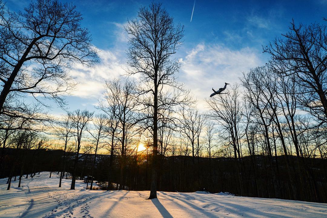
#sunset in #coonskin #park #charleston #wv #airplane #tree #landscape #snow

Waiting out the rain

Moth in bloom

Bridge 977-08
Wishing for Spring
A Clearing In the Path

Bridge 977-07

Bridge 981-05

Bridge 984-12
100 steps
Topographic Map of Sissonville, WV, USA
Find elevation by address:

Places in Sissonville, WV, USA:
Places near Sissonville, WV, USA:
Haines Branch Road
Grapevine Road
866 Derricks Utah Rd
5965 Fisher Ridge Rd
Romance
Romie Hill Rd, Kenna, WV, USA
Kellys Creek Road
2558 Fisher Ridge Rd
Harmons Creek Rd, Poca, WV, USA
Liberty
15 John's Ln, Kenna, WV, USA
5448 Fisher Ridge Rd
Mount Etna Road
2488 Mount Etna Rd
2488 Mount Etna Rd
147 Cemetery Rd
Liberty, WV, USA
Pocatalico
West Virginia 34
Red House
Recent Searches:
- Elevation of Corso Fratelli Cairoli, 35, Macerata MC, Italy
- Elevation of Tallevast Rd, Sarasota, FL, USA
- Elevation of 4th St E, Sonoma, CA, USA
- Elevation of Black Hollow Rd, Pennsdale, PA, USA
- Elevation of Oakland Ave, Williamsport, PA, USA
- Elevation of Pedrógão Grande, Portugal
- Elevation of Klee Dr, Martinsburg, WV, USA
- Elevation of Via Roma, Pieranica CR, Italy
- Elevation of Tavkvetili Mountain, Georgia
- Elevation of Hartfords Bluff Cir, Mt Pleasant, SC, USA