Elevation of Cemetery Rd, Liberty, WV, USA
Location: United States > West Virginia > Putnam County > Buffalo-union > Liberty >
Longitude: -81.753688
Latitude: 38.607993
Elevation: 337m / 1106feet
Barometric Pressure: 97KPa
Elevation Map:
Satellite Map:
Related Photos:
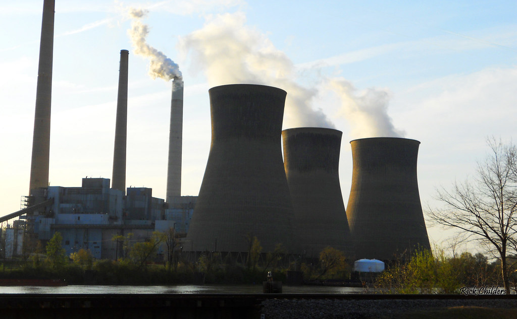
Fossil Fuelled

Springtime In Winfield

An Evening At The Power Plant

sunset 1

Steam Turbine Restorations

Poca WV: Sunset on the Kanawha

The Kanawha Above Winfield Locks

The Kanawha at Winfield

Bridge 977-08
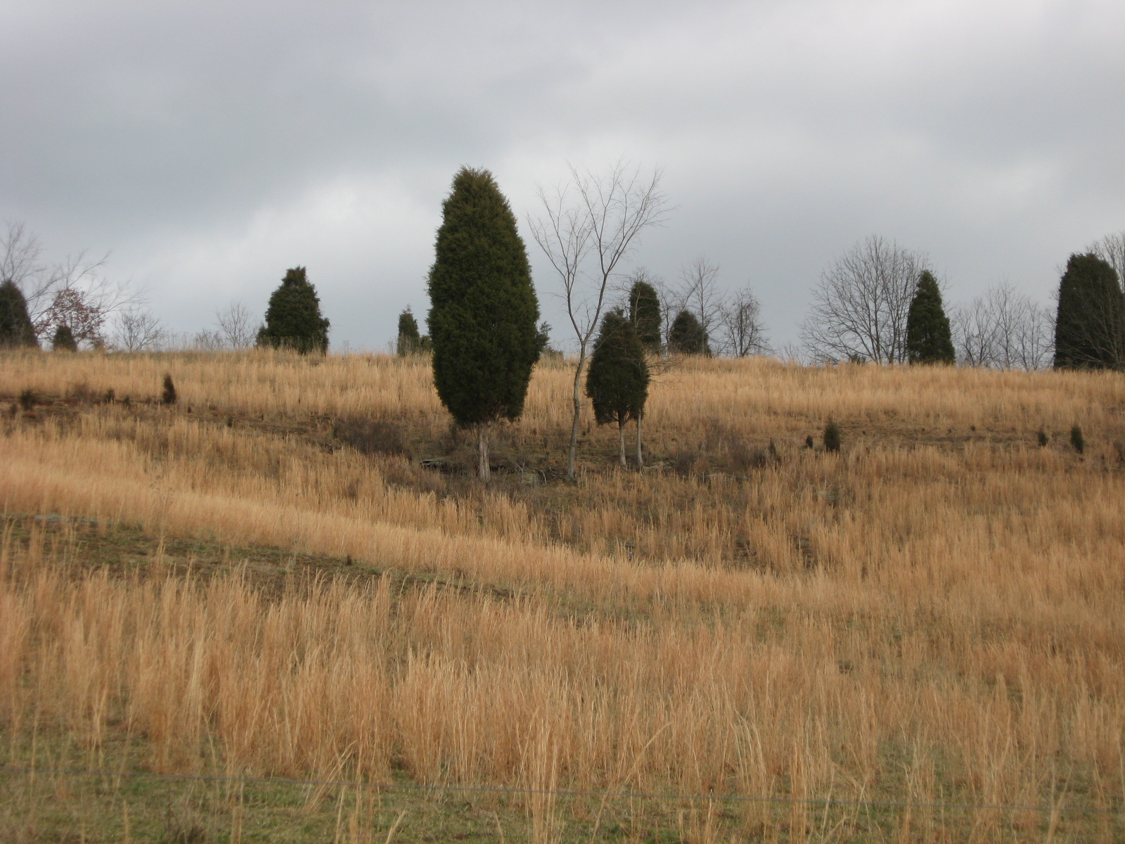
Wishing for Spring

Bridge 977-07
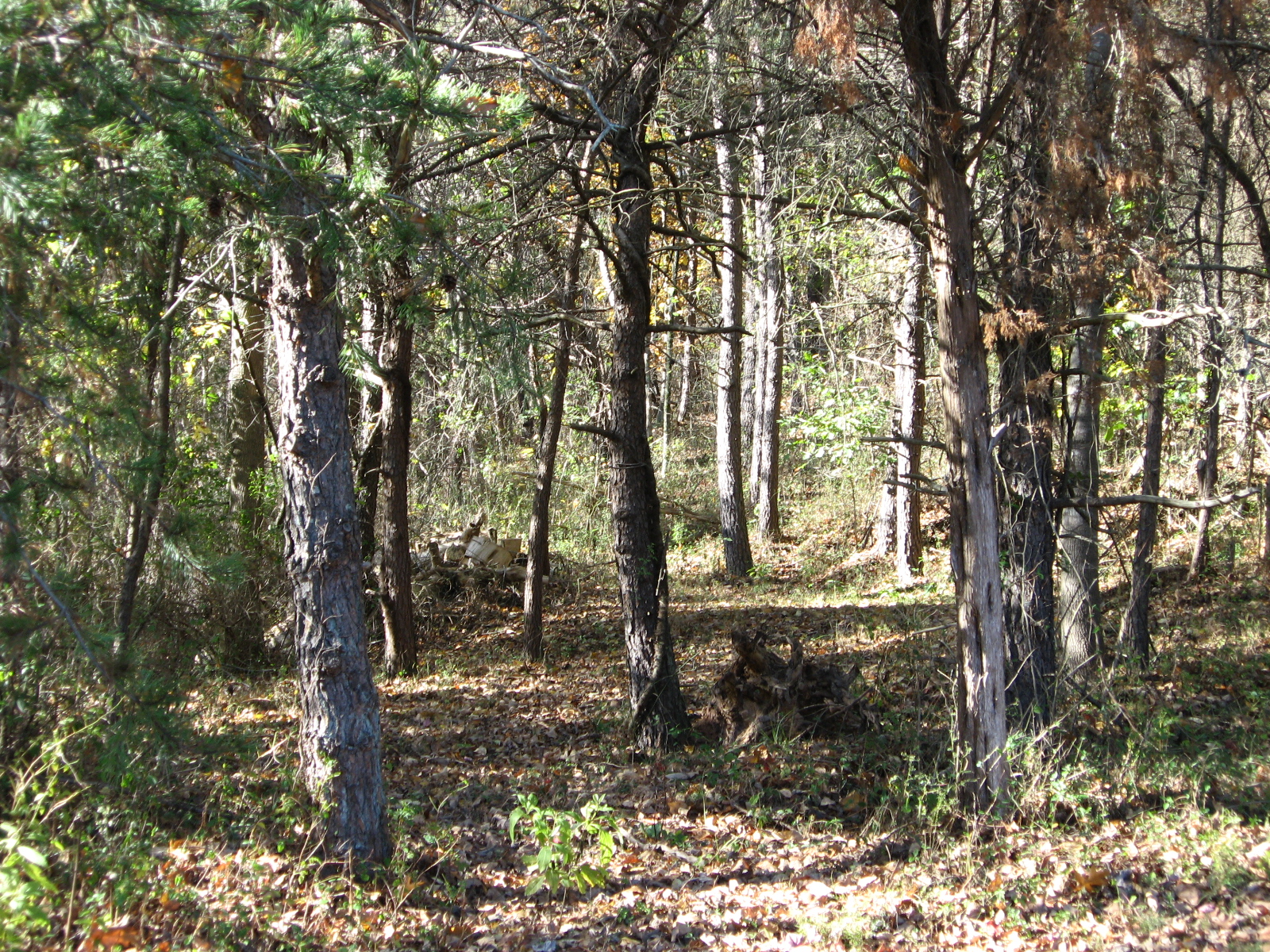
A Clearing In the Path

Bridge 981-05

Bridge 984-12
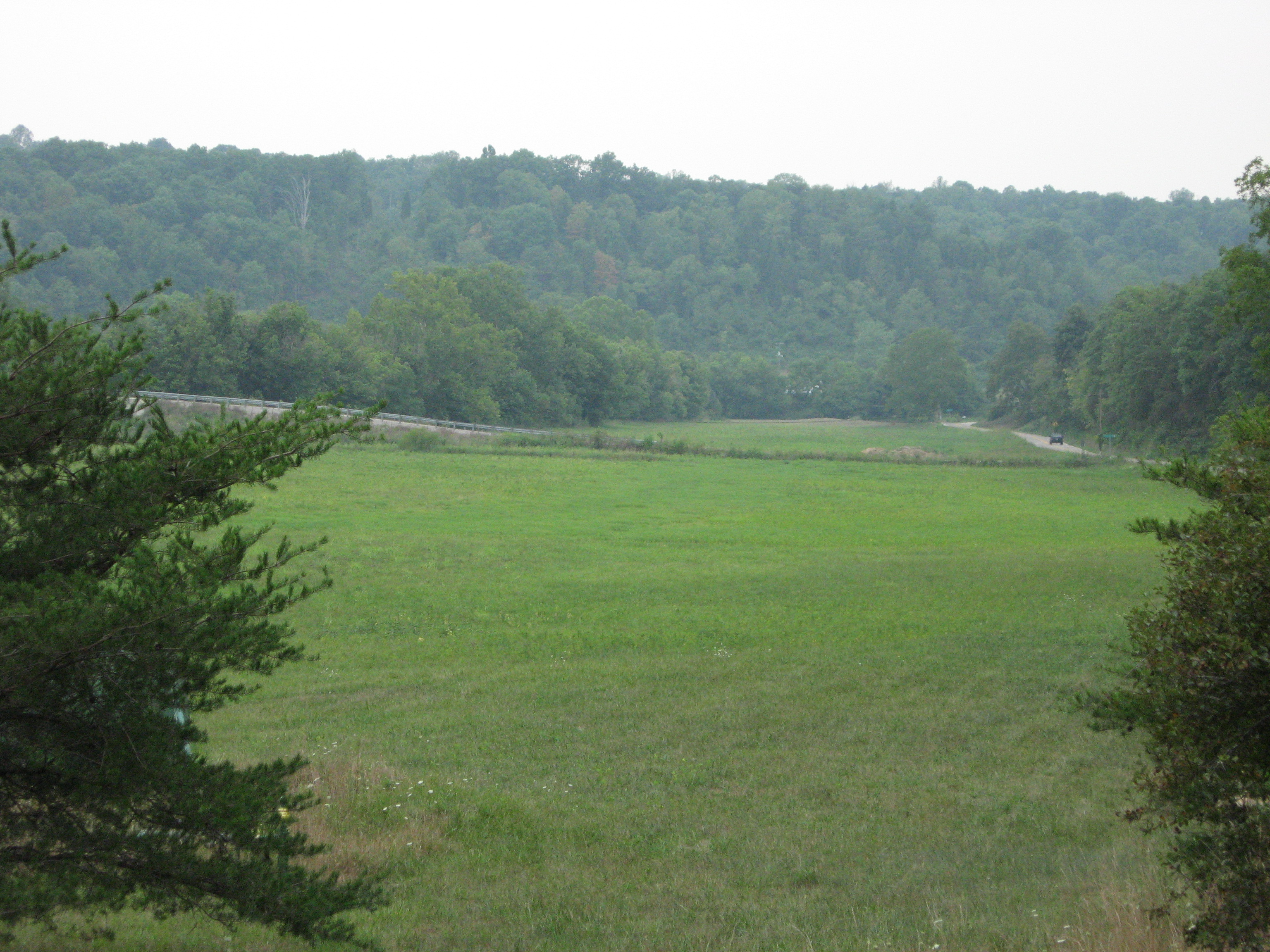
putnam co 1

100 steps
Topographic Map of Cemetery Rd, Liberty, WV, USA
Find elevation by address:

Places near Cemetery Rd, Liberty, WV, USA:
5448 Fisher Ridge Rd
Liberty
2488 Mount Etna Rd
2488 Mount Etna Rd
Mount Etna Road
Liberty, WV, USA
Kellys Creek Road
West Virginia 34
Harmons Creek Rd, Poca, WV, USA
Pocatalico
Haines Branch Road
866 Derricks Utah Rd
2558 Fisher Ridge Rd
Buffalo-union
5965 Fisher Ridge Rd
Romie Hill Rd, Kenna, WV, USA
Red House
Sissonville
Romance
15 John's Ln, Kenna, WV, USA
Recent Searches:
- Elevation of Corso Fratelli Cairoli, 35, Macerata MC, Italy
- Elevation of Tallevast Rd, Sarasota, FL, USA
- Elevation of 4th St E, Sonoma, CA, USA
- Elevation of Black Hollow Rd, Pennsdale, PA, USA
- Elevation of Oakland Ave, Williamsport, PA, USA
- Elevation of Pedrógão Grande, Portugal
- Elevation of Klee Dr, Martinsburg, WV, USA
- Elevation of Via Roma, Pieranica CR, Italy
- Elevation of Tavkvetili Mountain, Georgia
- Elevation of Hartfords Bluff Cir, Mt Pleasant, SC, USA