Elevation of Liberty, WV, USA
Location: United States > West Virginia > Putnam County > Buffalo-union > Liberty >
Longitude: -81.740413
Latitude: 38.6489881
Elevation: 249m / 817feet
Barometric Pressure: 98KPa
Elevation Map:
Satellite Map:
Related Photos:
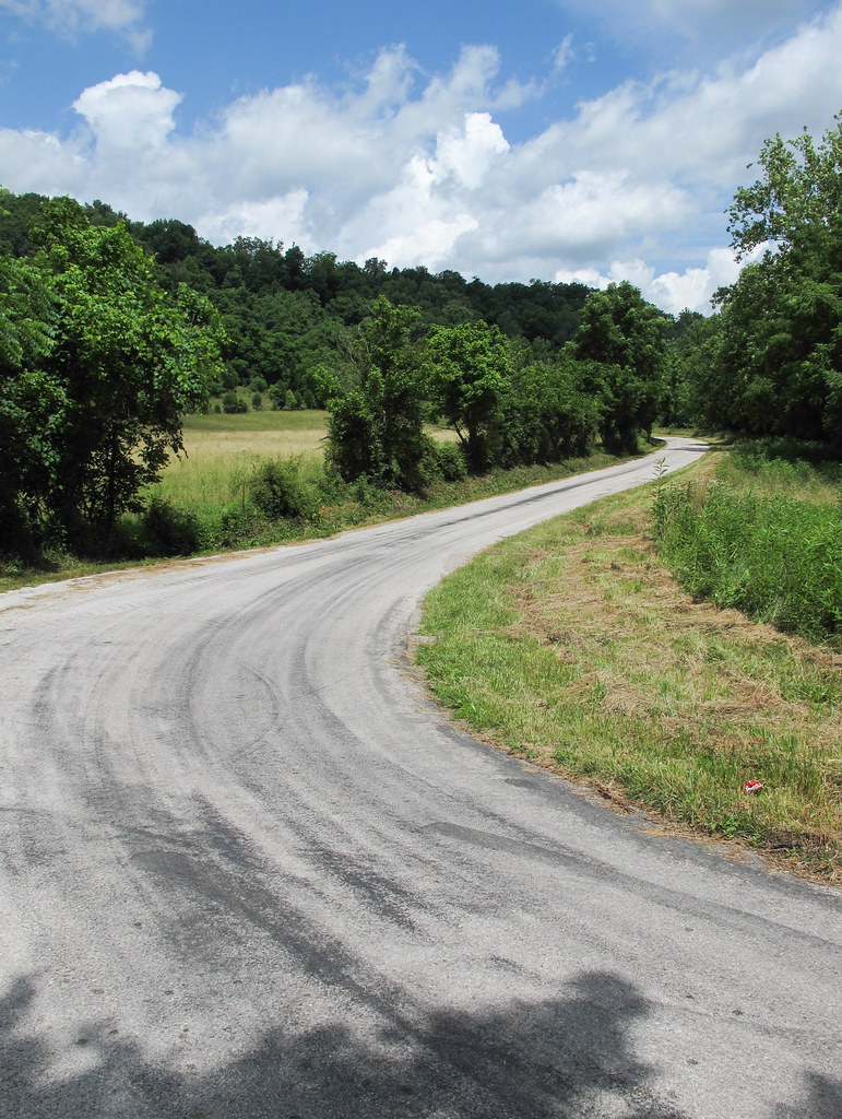
"I'd rather walk than ride, thanks!"
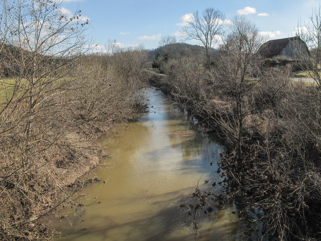
One look and you'll know why it's called Eighteenmile Creek.
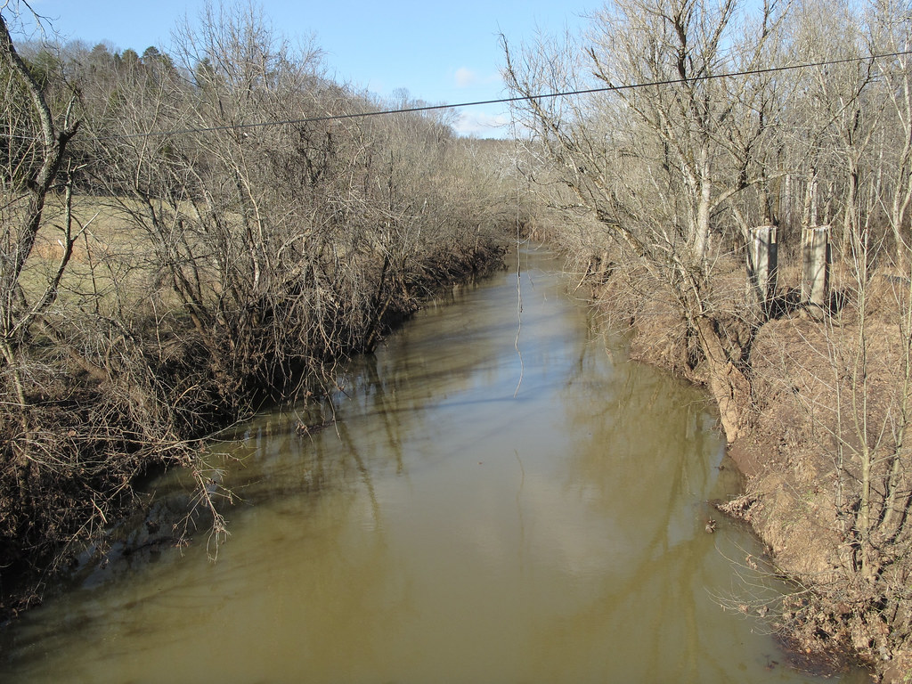
Remember me to the people of the Allegheny Plateau. Recall that I was here taking pictures of the region's small rivers on sunny winter days.
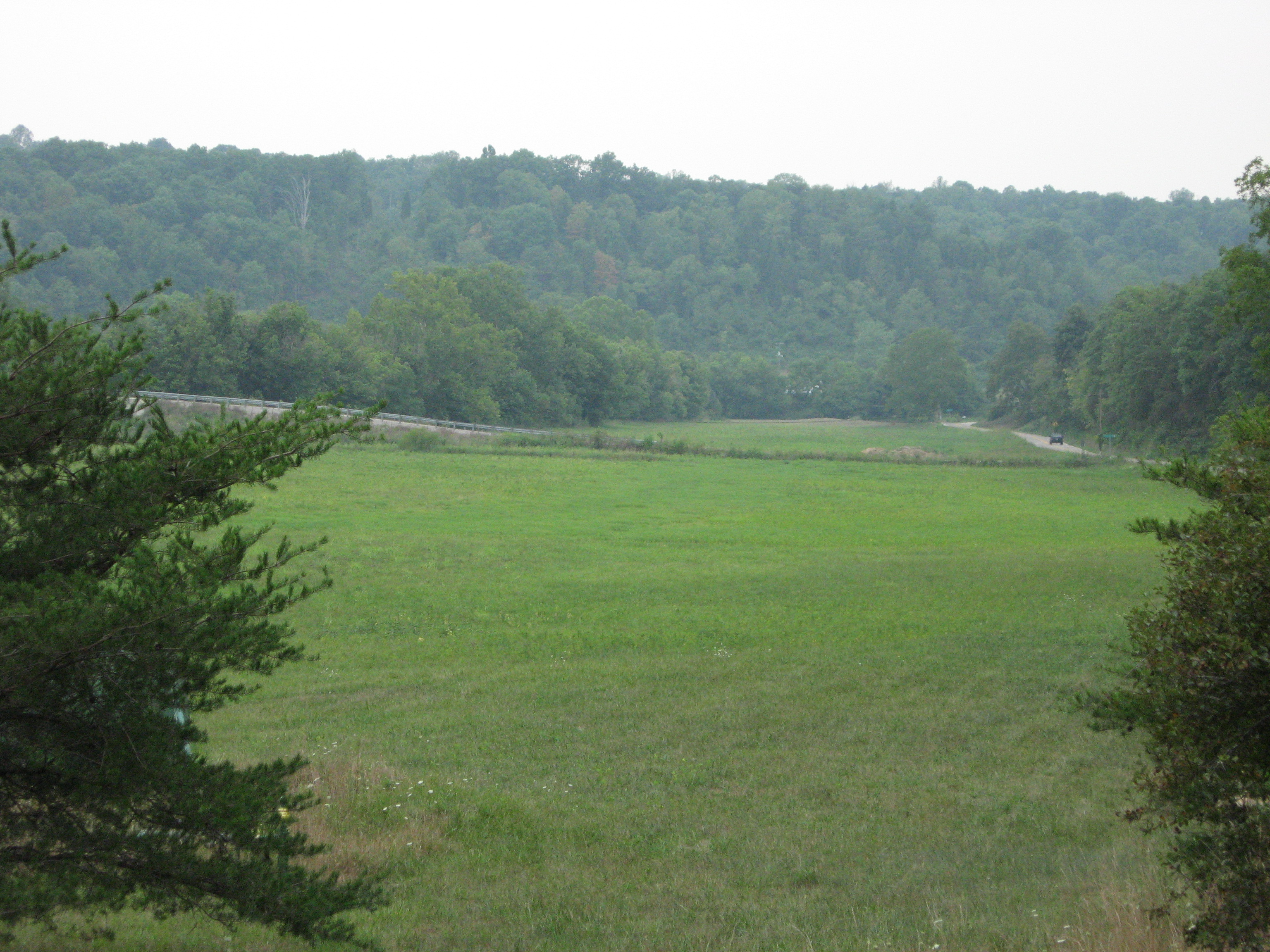
putnam co 1
Jackson County, West Virginia

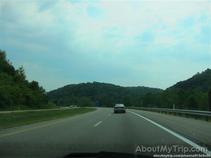
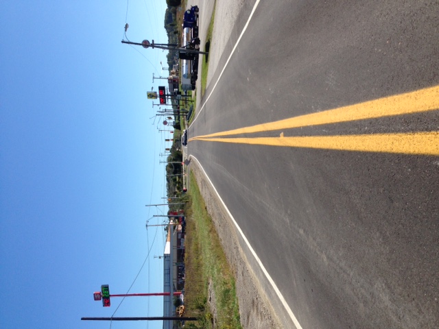
Interstate 77, Kenna and Sissonville, West Virginia
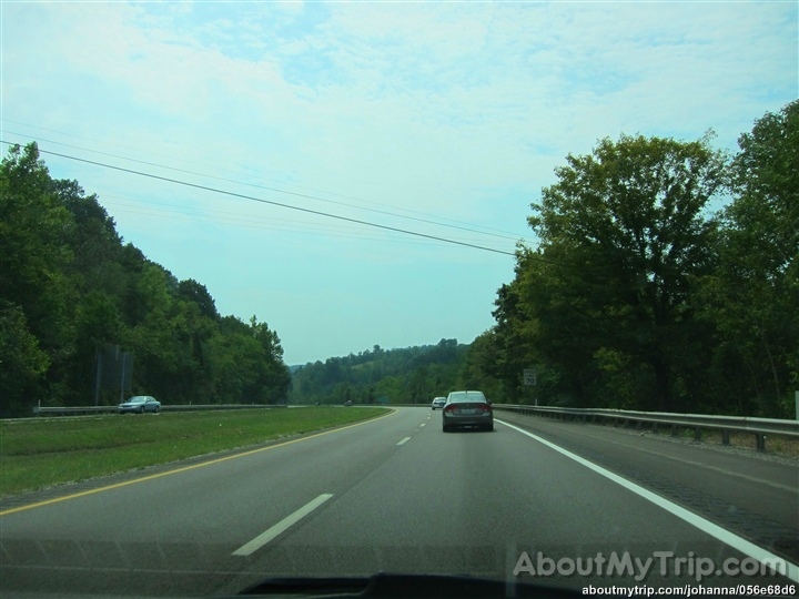
Kanawha County, West Virginia
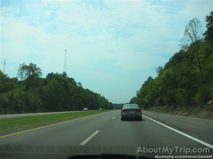
Kanawha County, Sissonville, West Virginia
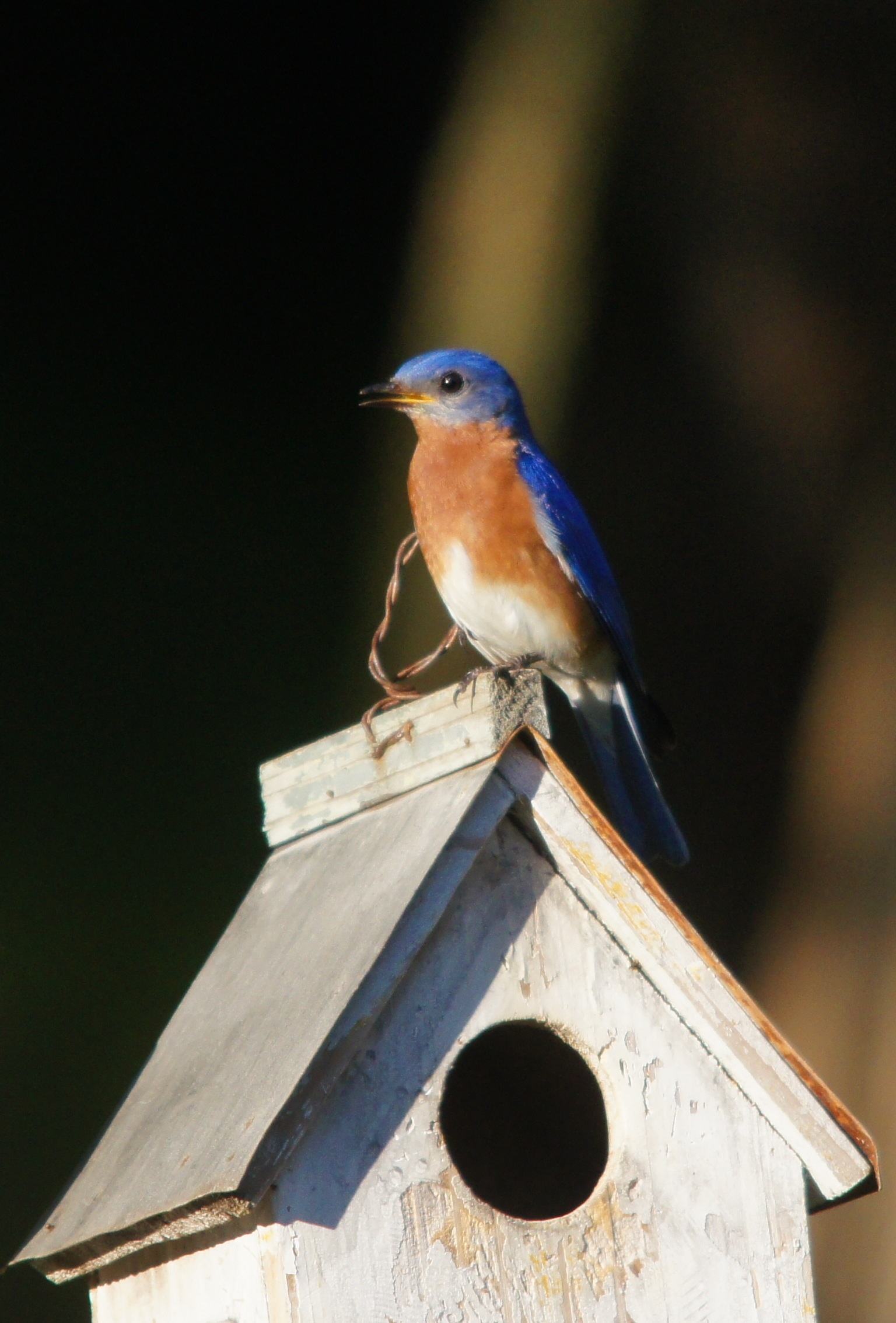
Watching over the house
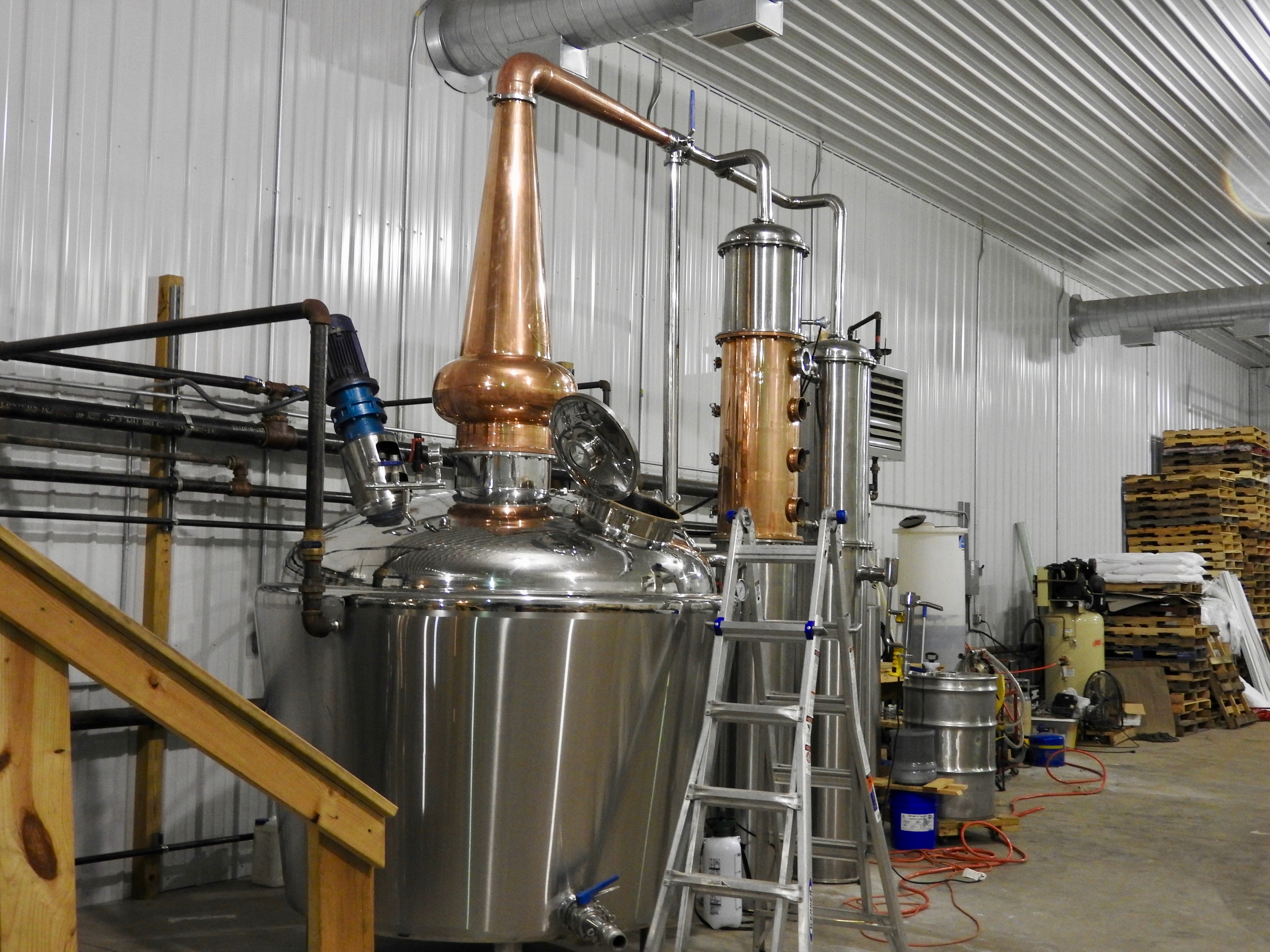
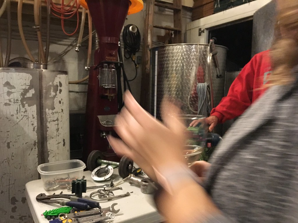
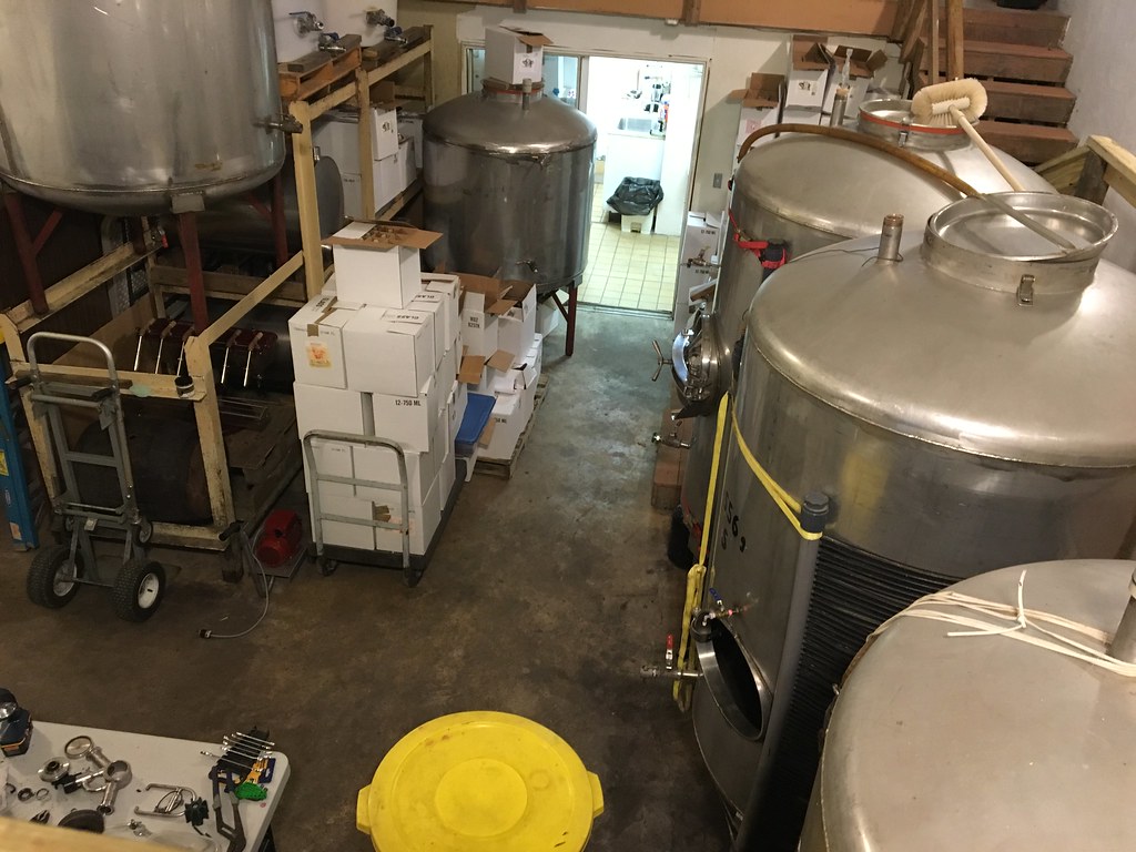
Appalachian Distillery
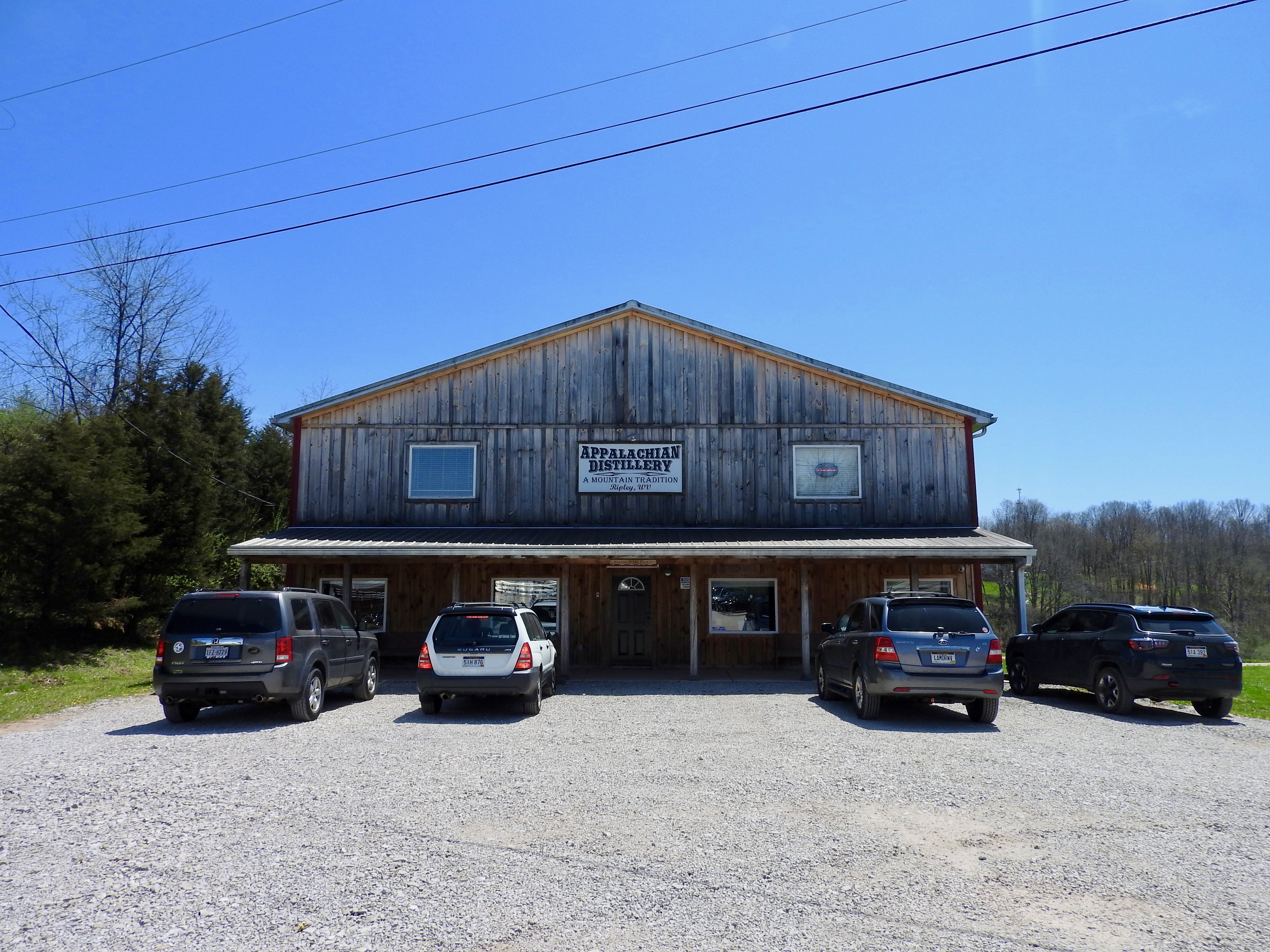
Appalachian Distillery
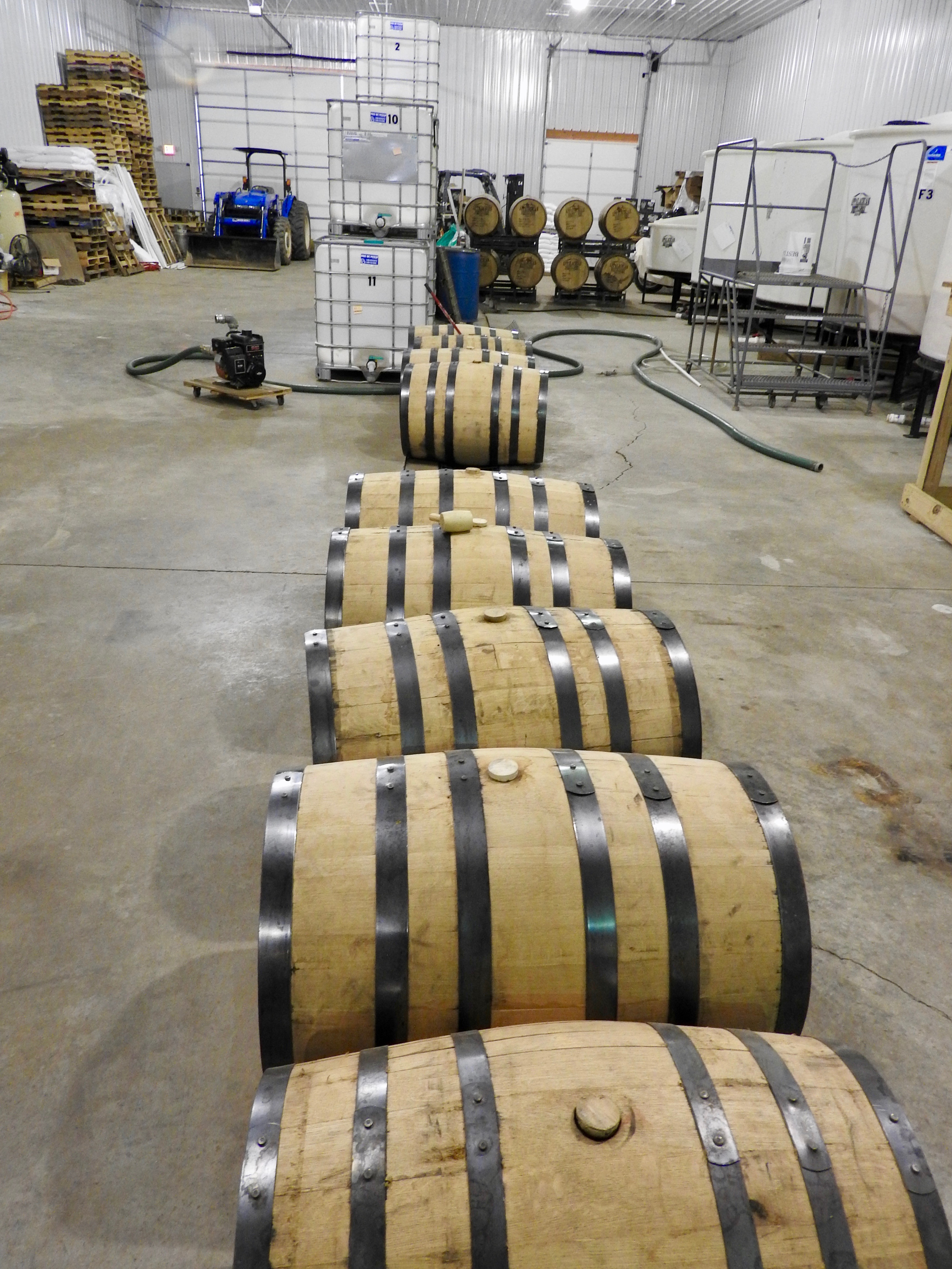
Appalachian Distillery
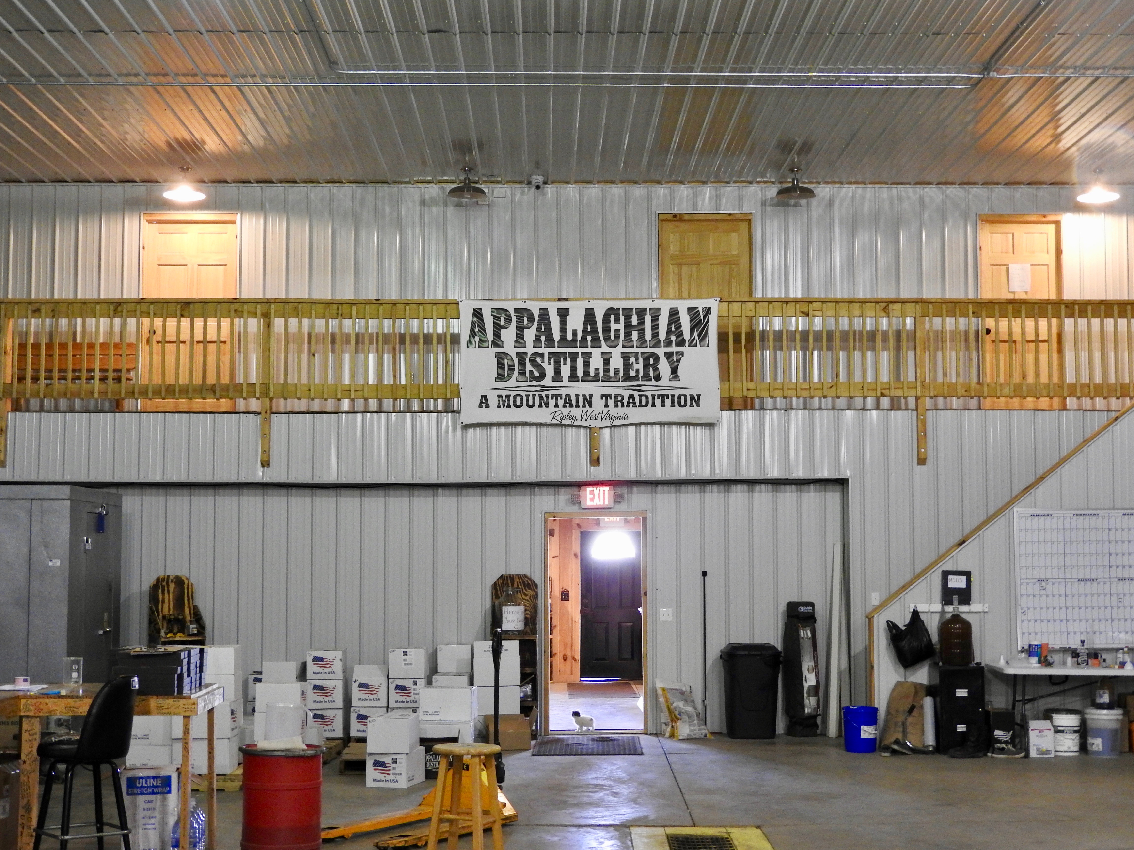
Appalachian Distillery

Appalachian Distillery
Jackson CR 21/26, Shin Lane
Thanksgiving 2016
Thanksgiving 2016
Thanksgiving 2016
Fisher Ridge Winery

Fisher Ridge Winery
Fisher Ridge Winery
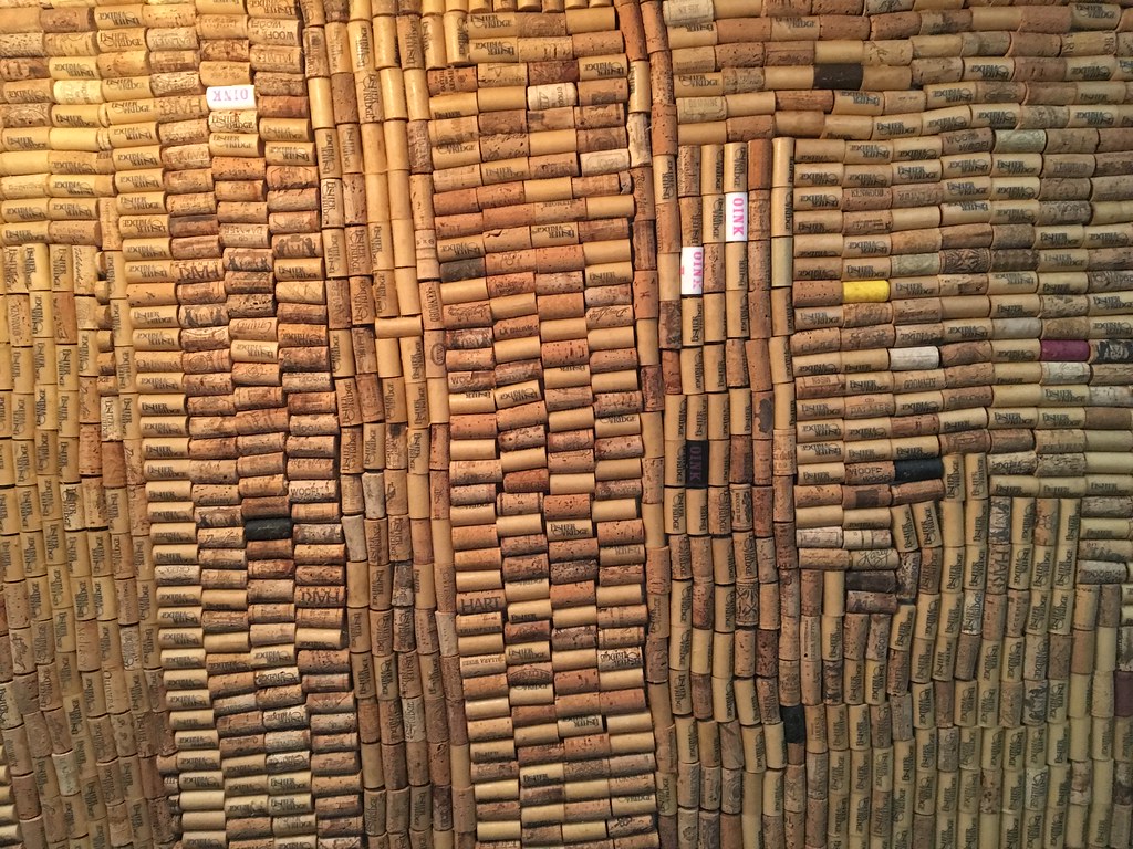
Fisher Ridge Winery
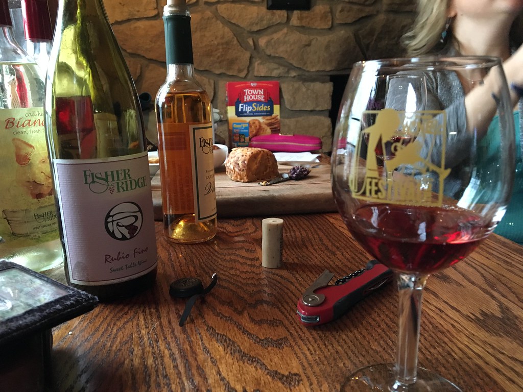
Fisher Ridge Winery
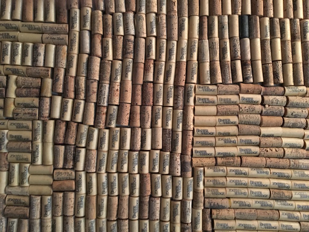
Fisher Ridge Winery
Topographic Map of Liberty, WV, USA
Find elevation by address:

Places near Liberty, WV, USA:
5448 Fisher Ridge Rd
147 Cemetery Rd
Liberty
2488 Mount Etna Rd
2488 Mount Etna Rd
Mount Etna Road
2558 Fisher Ridge Rd
Kellys Creek Road
West Virginia 34
Romie Hill Rd, Kenna, WV, USA
5965 Fisher Ridge Rd
Haines Branch Road
Harmons Creek Rd, Poca, WV, USA
Pocatalico
15 John's Ln, Kenna, WV, USA
Romance
866 Derricks Utah Rd
Buffalo-union
Sissonville
Red House
Recent Searches:
- Elevation of Elwyn Dr, Roanoke Rapids, NC, USA
- Elevation of Congressional Dr, Stevensville, MD, USA
- Elevation of Bellview Rd, McLean, VA, USA
- Elevation of Stage Island Rd, Chatham, MA, USA
- Elevation of Shibuya Scramble Crossing, 21 Udagawacho, Shibuya City, Tokyo -, Japan
- Elevation of Jadagoniai, Kaunas District Municipality, Lithuania
- Elevation of Pagonija rock, Kranto 7-oji g. 8"N, Kaunas, Lithuania
- Elevation of Co Rd 87, Jamestown, CO, USA
- Elevation of Tenjo, Cundinamarca, Colombia
- Elevation of Côte-des-Neiges, Montreal, QC H4A 3J6, Canada