Elevation of Siler Rd, Winchester, VA, USA
Location: United States > Virginia > Winchester >
Longitude: -78.246503
Latitude: 39.325432
Elevation: 263m / 863feet
Barometric Pressure: 98KPa
Elevation Map:
Satellite Map:
Related Photos:

Cacapon View

Tall Grasses

Purple Wild Flowers

Pink Wild Flower

Queen Ann's Lace
INDIAN HOLLOW

ELEVATED SCENERY
FRONT YARD VIEW

Welcome to the Neighborhood

CHERRY PLUM.....
Over 800 views! Thanks everyone

CHERRY PLUM.....

Pee Wee Point

0182 Stephensons Depot Img_23049

0011 Second Battle of Winchester Img_22878

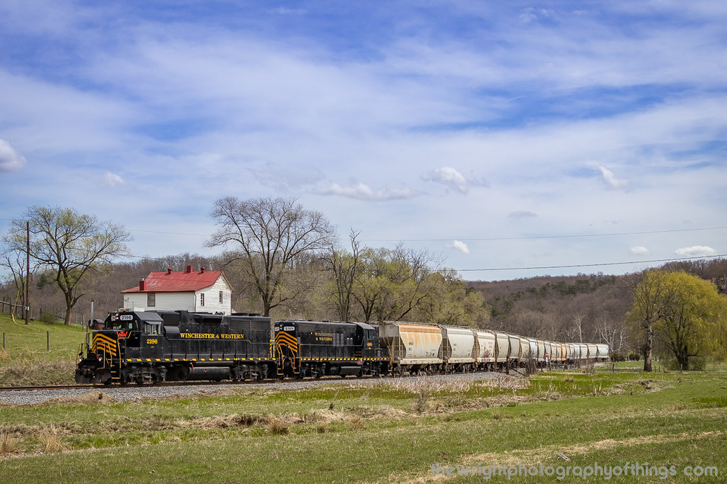
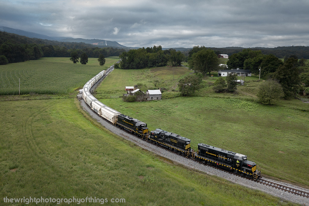
Winchester & Western EB Sand Man, Indian Hollow, VA

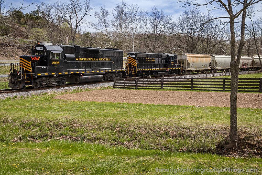
Winchester & Western WB Sand Man, Indian Hollow, VA

The View

IMG_2262.JPG

Zach Gladden Drummer Mosiac Poster

Clouds 2

SANDMAN ROLLING DOWNHILL

GIVING ALL THEY GOT

FILTERED HEIGHTS

UP ROUND HILL

VALLEY FARMLAND

INDIAN HOLLOW

INTO THE SUN

Ridge Trail - Cacapon State Park

VIRGINIA HIGHLANDS

GAP RUN
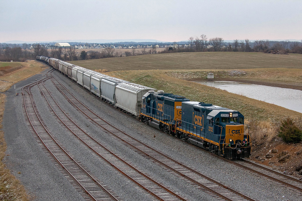
CSX D790-10 - Winchester, VA

CSX D790 - Winchester, VA

THE SANDMAN COMETH!
UP THE VALLEY (EXPLORED 9/15/18)

Virginia Farm Land

Hay bales off of Route 522

Fence post with barbed wire

Green mail
Topographic Map of Siler Rd, Winchester, VA, USA
Find elevation by address:

Places near Siler Rd, Winchester, VA, USA:
Pine Crest Ln, Winchester, VA, USA
Gainesboro
318 Winding Ridge Ln
Winding Ridge Lane
1085 Collinsville Rd
Cross Junction
90 Violet Ridge Dr
Gainesboro Rd, Winchester, VA, USA
Winchester, VA, USA
Eyles Lane
1100 Hunting Ridge Rd
Lakeview Dr, Cross Junction, VA, USA
Fairway Circle
634 Lakeview Dr
1624 Brannons Ford Rd
1624 Brannons Ford Rd
101 Vista Ct
981 Valley View Dr
981 Valley View Dr
981 Valley View Dr
Recent Searches:
- Elevation of Elwyn Dr, Roanoke Rapids, NC, USA
- Elevation of Congressional Dr, Stevensville, MD, USA
- Elevation of Bellview Rd, McLean, VA, USA
- Elevation of Stage Island Rd, Chatham, MA, USA
- Elevation of Shibuya Scramble Crossing, 21 Udagawacho, Shibuya City, Tokyo -, Japan
- Elevation of Jadagoniai, Kaunas District Municipality, Lithuania
- Elevation of Pagonija rock, Kranto 7-oji g. 8"N, Kaunas, Lithuania
- Elevation of Co Rd 87, Jamestown, CO, USA
- Elevation of Tenjo, Cundinamarca, Colombia
- Elevation of Côte-des-Neiges, Montreal, QC H4A 3J6, Canada