Elevation of Eyles Lane, Eyles Ln, Gainesboro, VA, USA
Location: United States > Virginia > Winchester >
Longitude: -78.194850
Latitude: 39.3220235
Elevation: 249m / 817feet
Barometric Pressure: 98KPa
Elevation Map:
Satellite Map:
Related Photos:
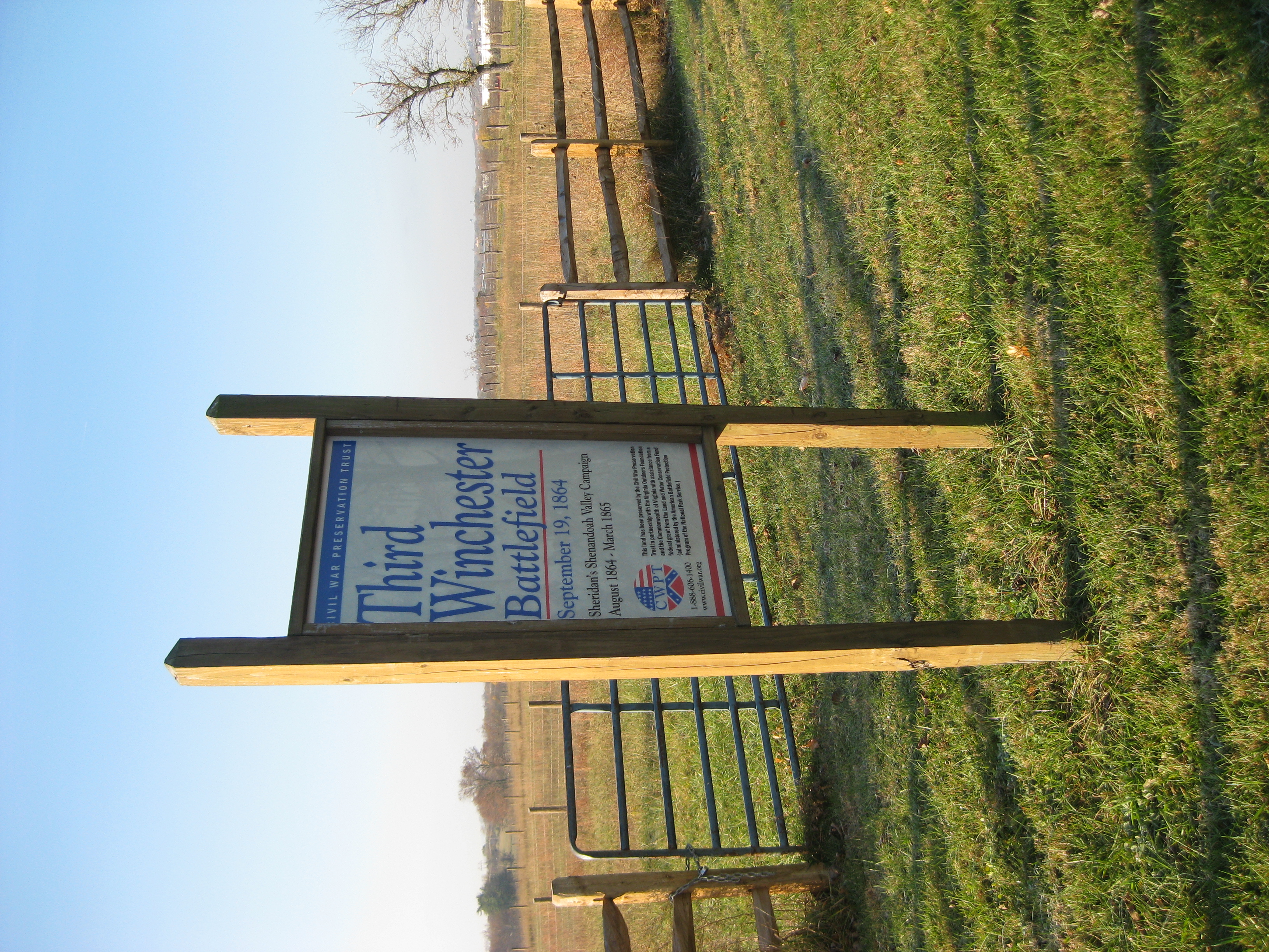
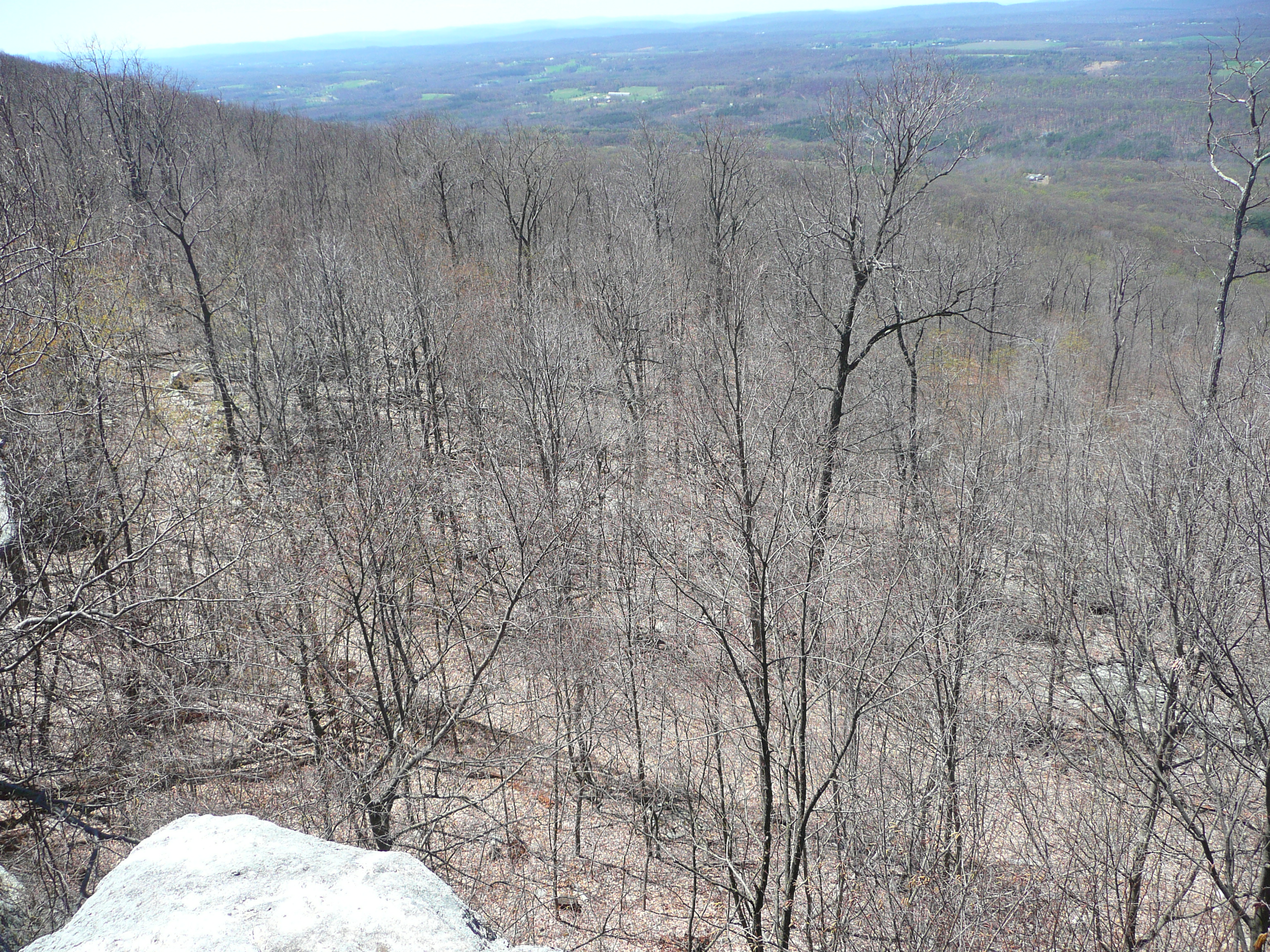
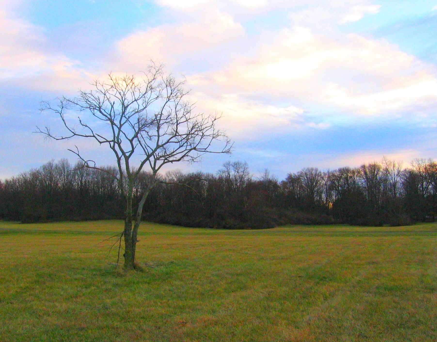
Third Winchester Battlefield
Welcome to the Neighborhood
My favorite view in town. #handley #highschool #shadow #evening #latergram #winchester #virginia
CHERRY PLUM.....

Over 800 views! Thanks everyone

Fisheye view of Winchester, Virginia
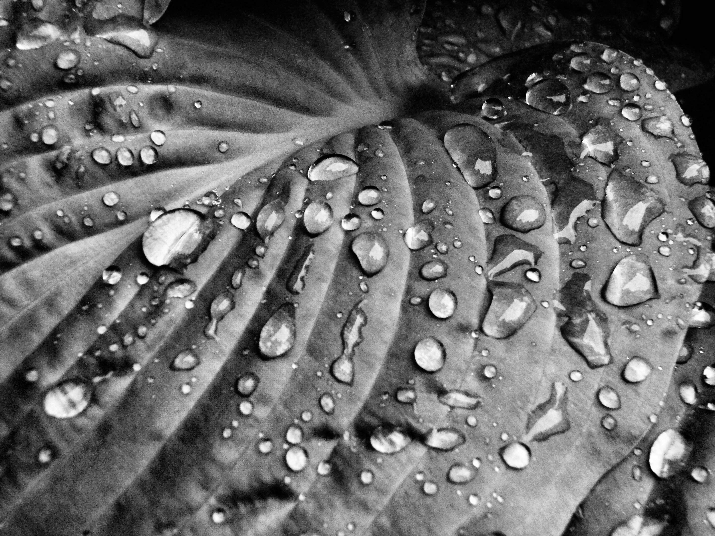
Rain Drops on Hosta II
The View from Room 301

Zach Gladden Drummer Mosiac Poster

Third Winchester: Huntsberry Farm View
CHERRY PLUM.....
P1040044 79 TT overlook west view
Another view from the entrance

Front View, Old Frederick County Courthouse

Rain Drops on Hosta

Yellow Kitchen
Third Winchester Battlefield

Rose Bud
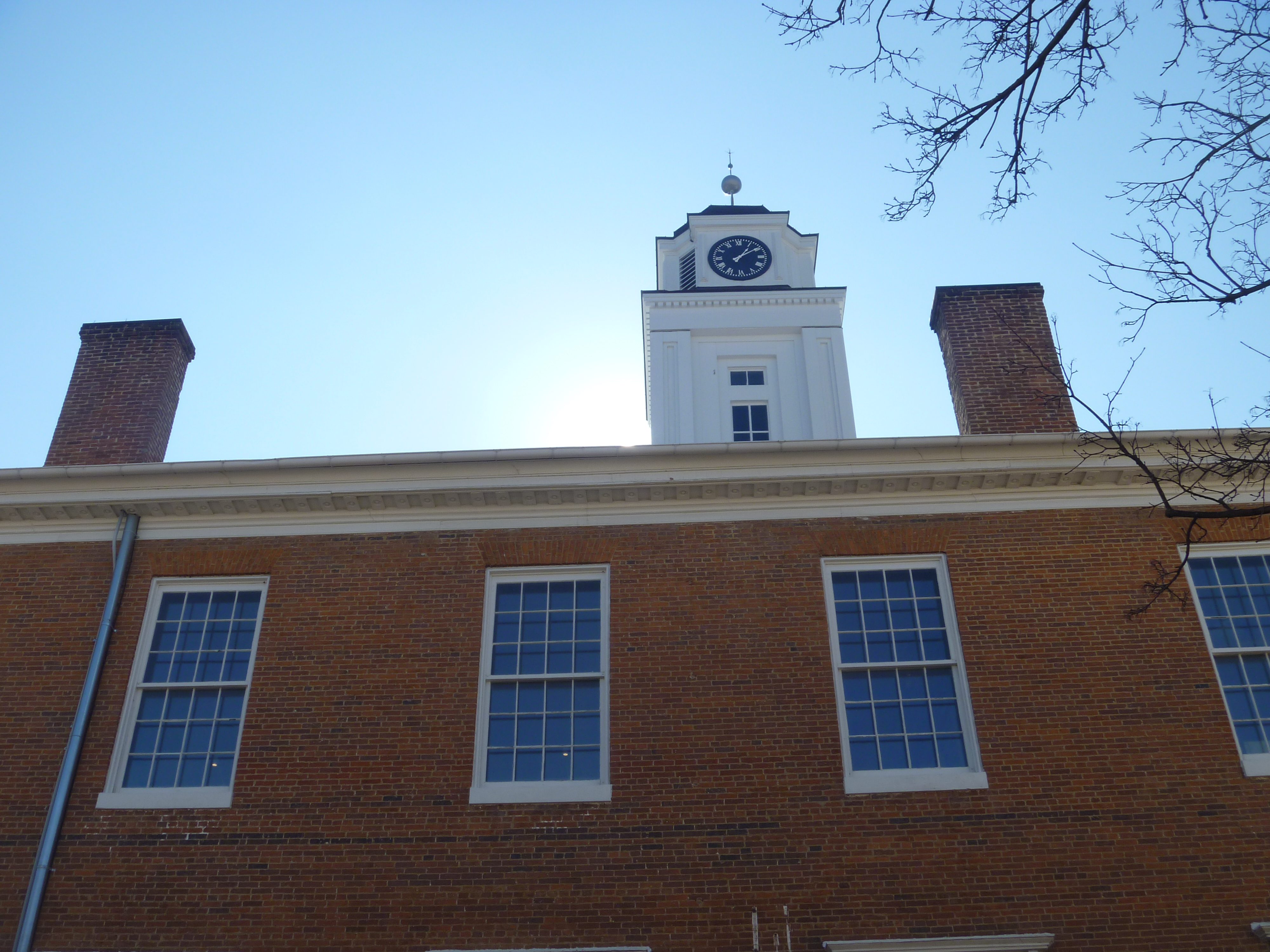
Northside View Of Old Frederick County Courthouse

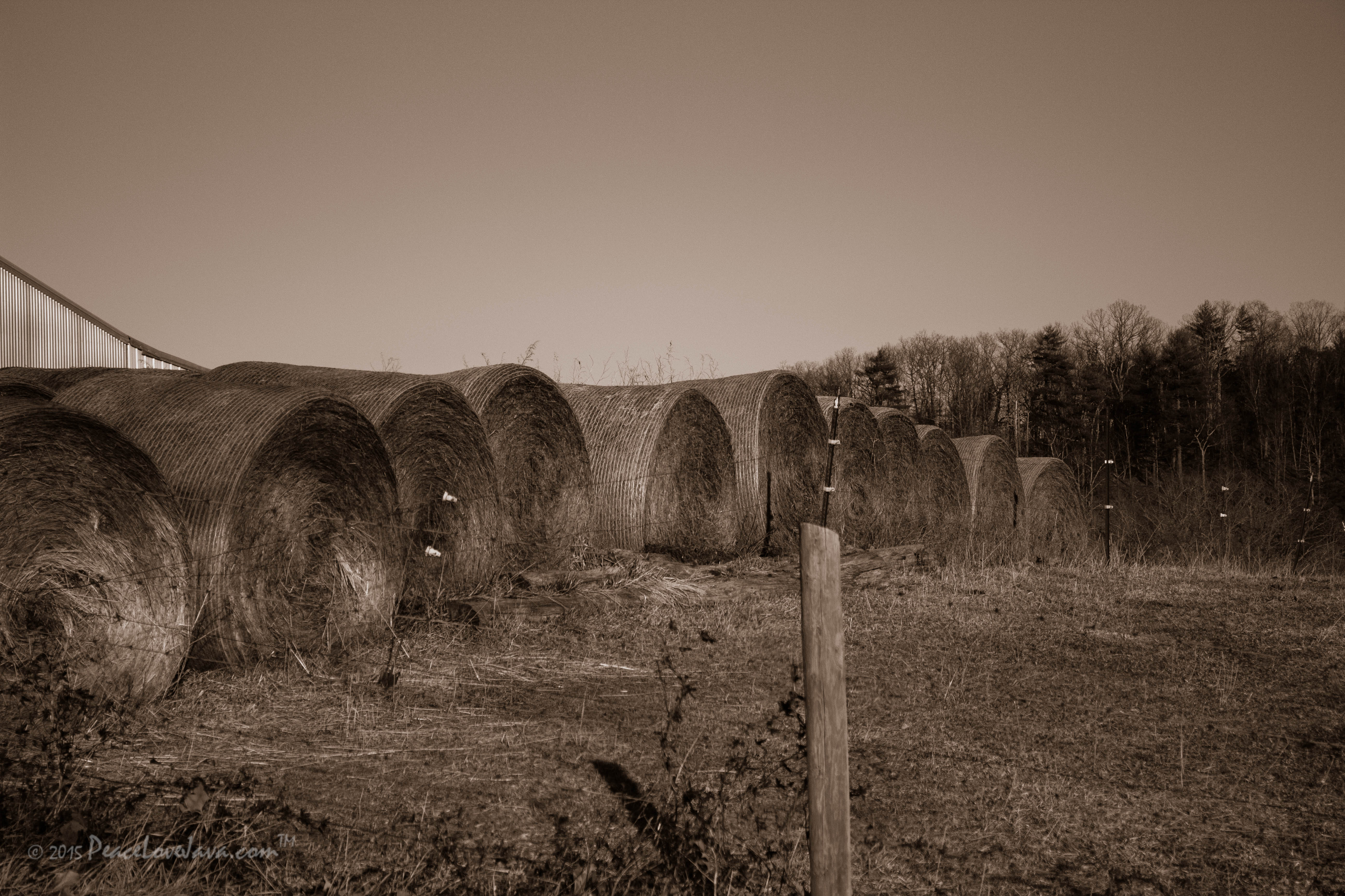
B&W Stand Alone
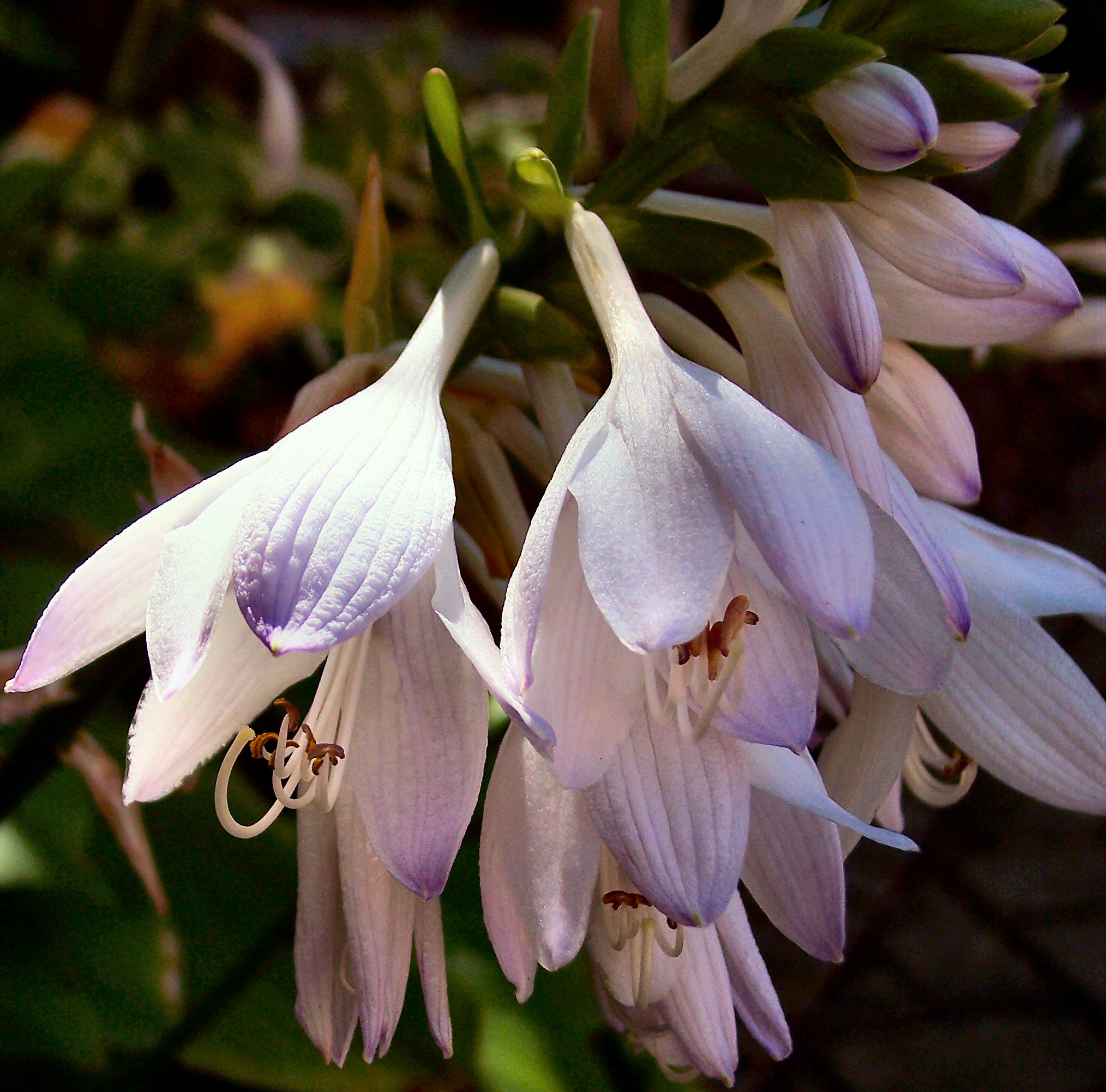
Flower of the Hosta
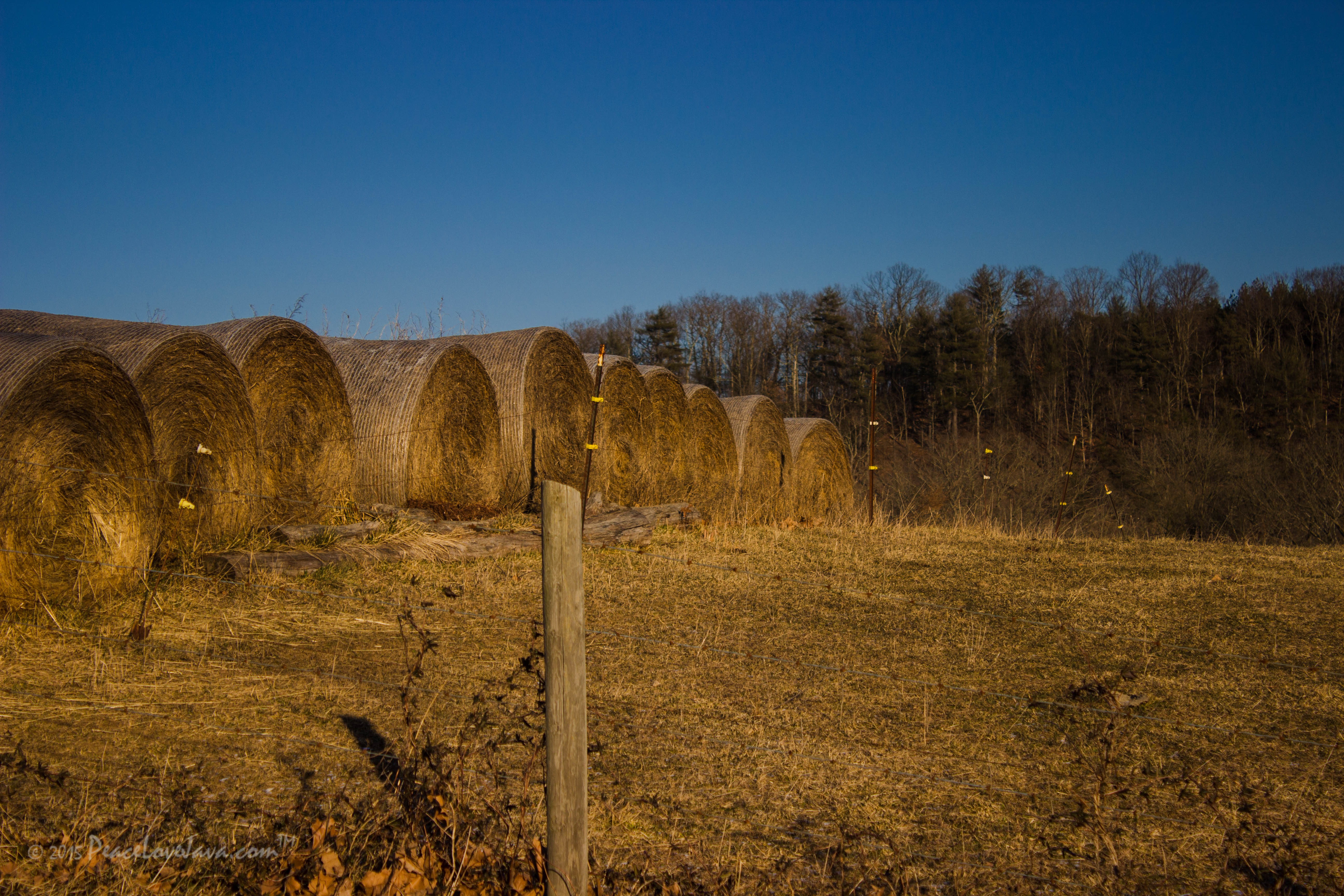
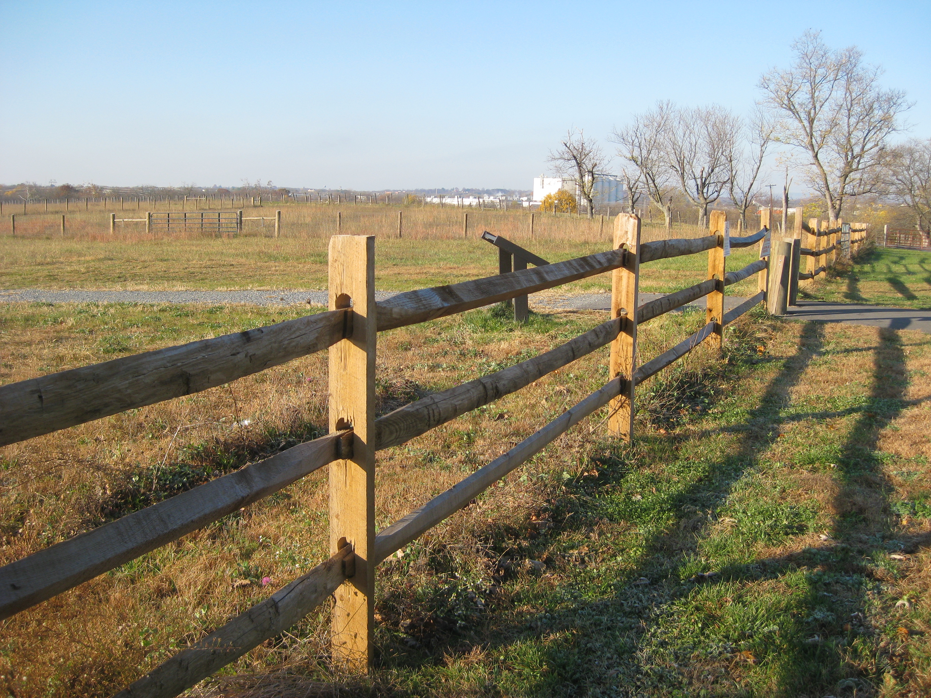
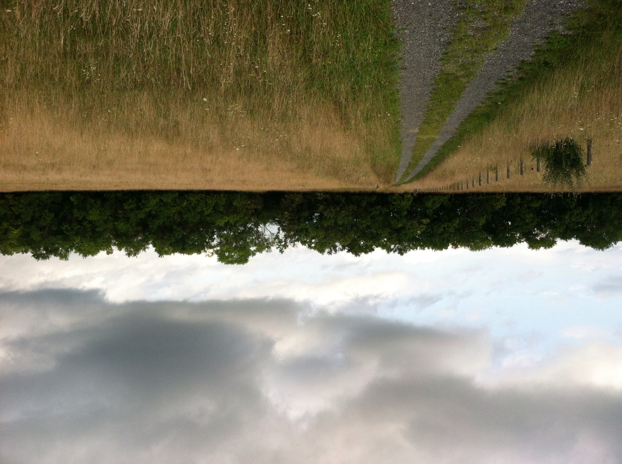
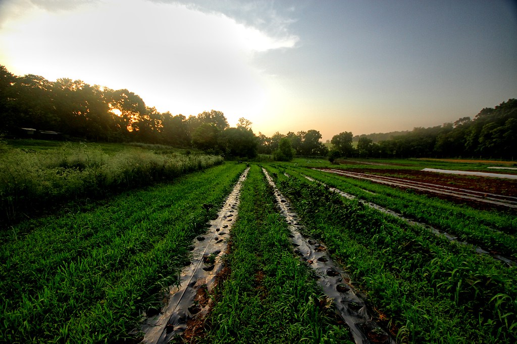
Virginia Farm Land
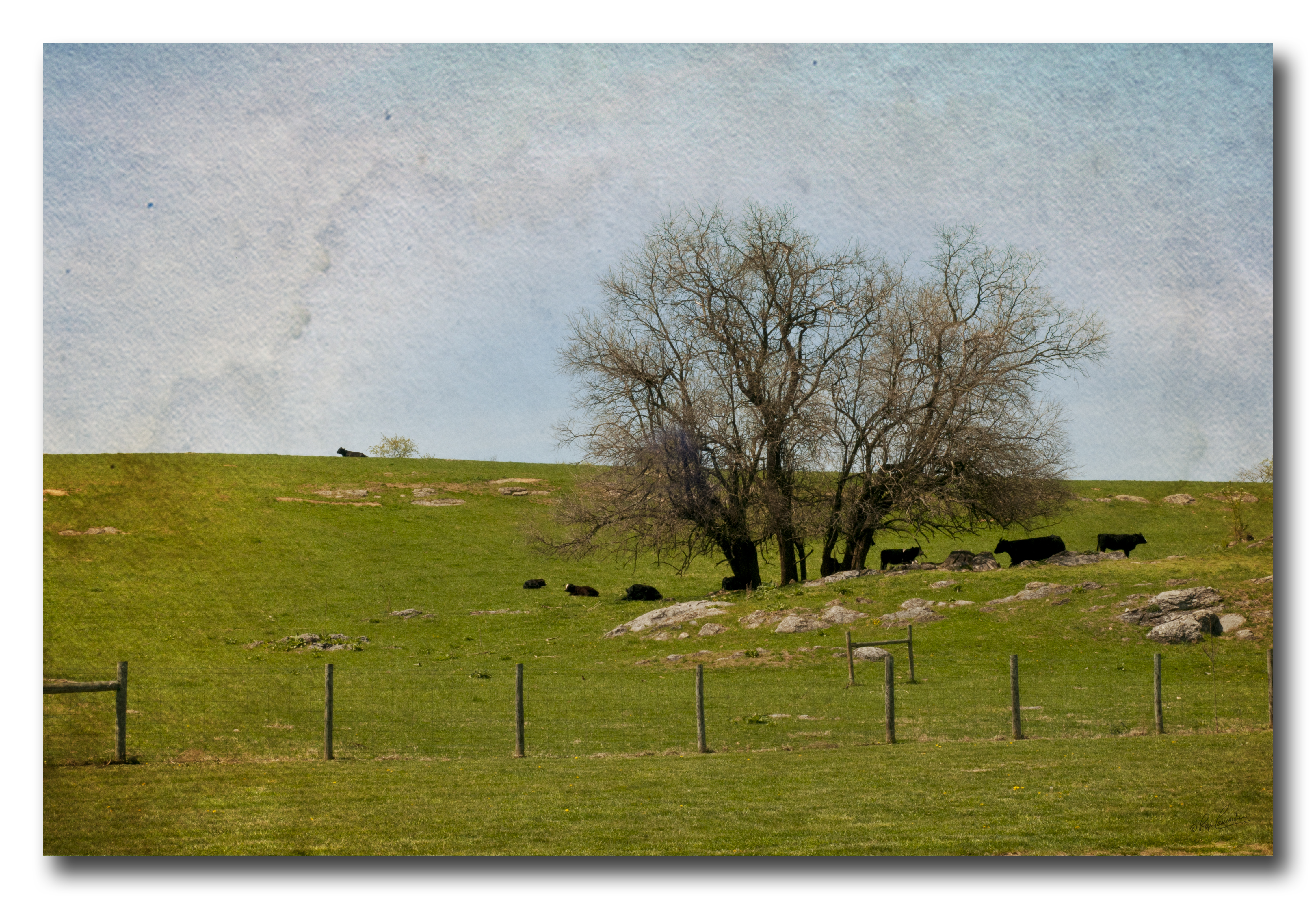
Pastoral scene with texture
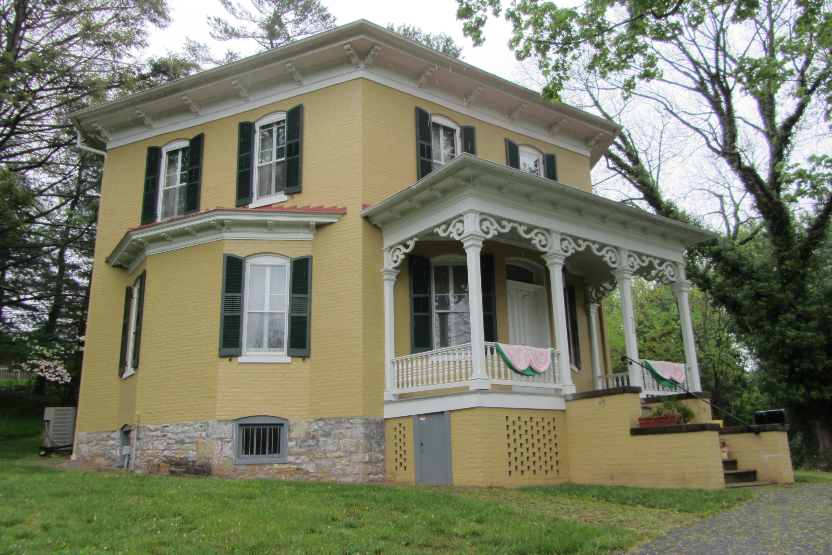
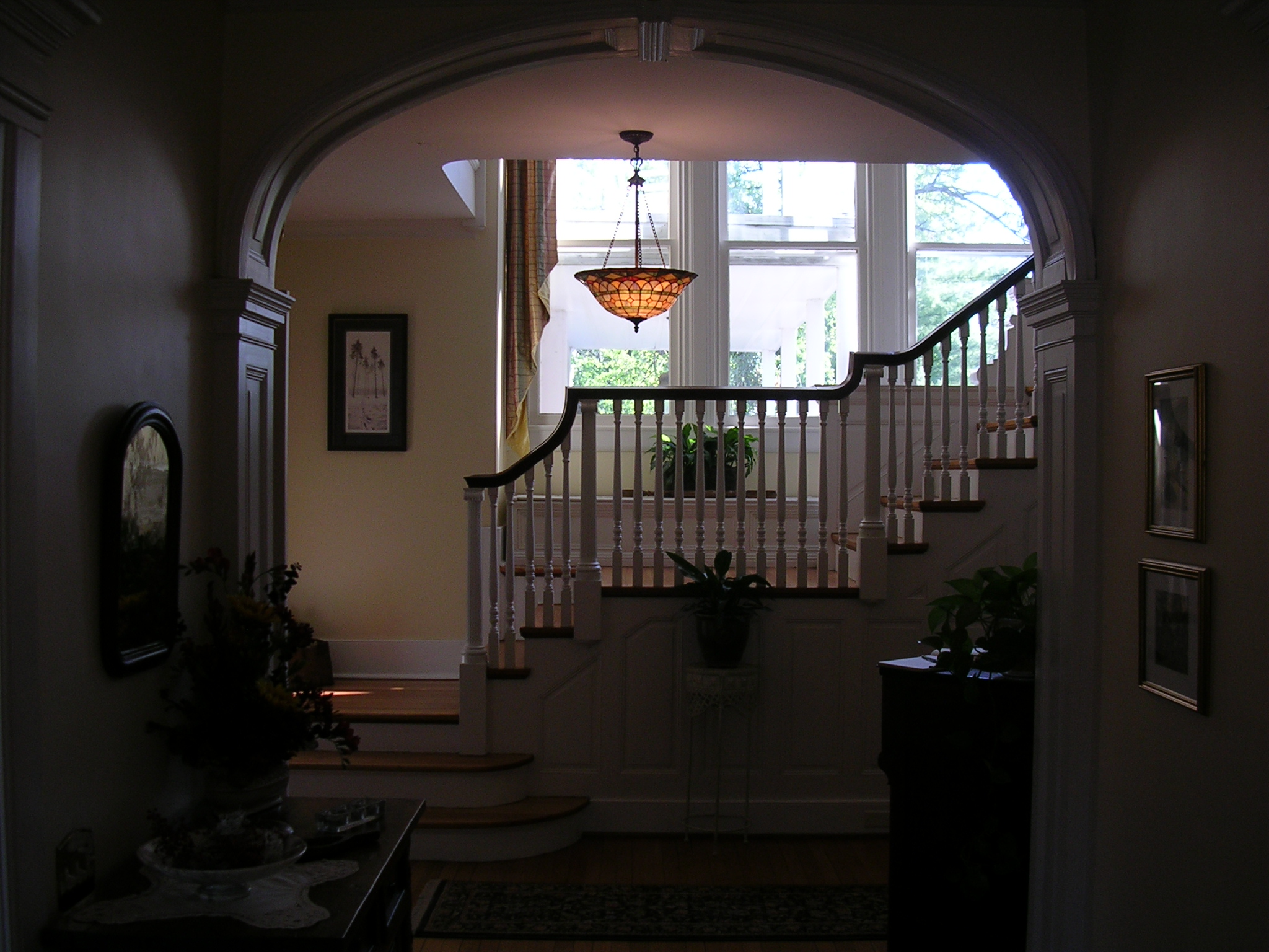
Hexagon House, Winchester
Virginia Farm Land
Sunrise over NSSA
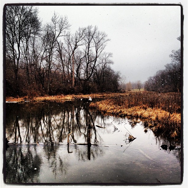
Snow along the banks of Red Bud Run
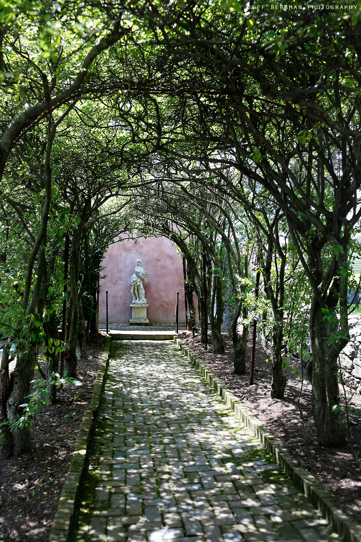
Glen Burnie Gardens - Pleached Alee
P1040054 82 TT tricky turn

Civil war trail
Day 34: 12/28/08
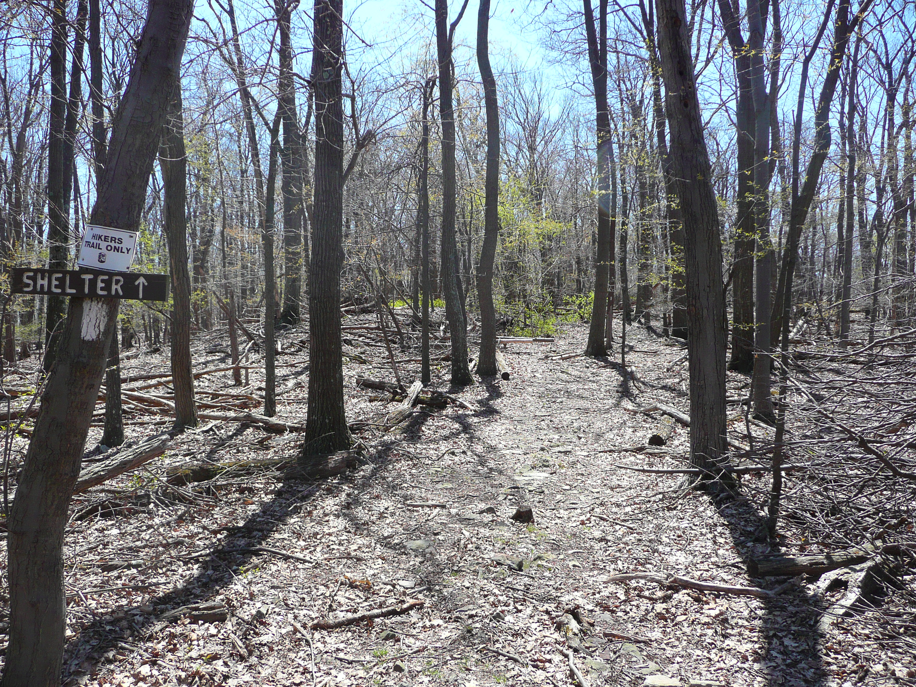
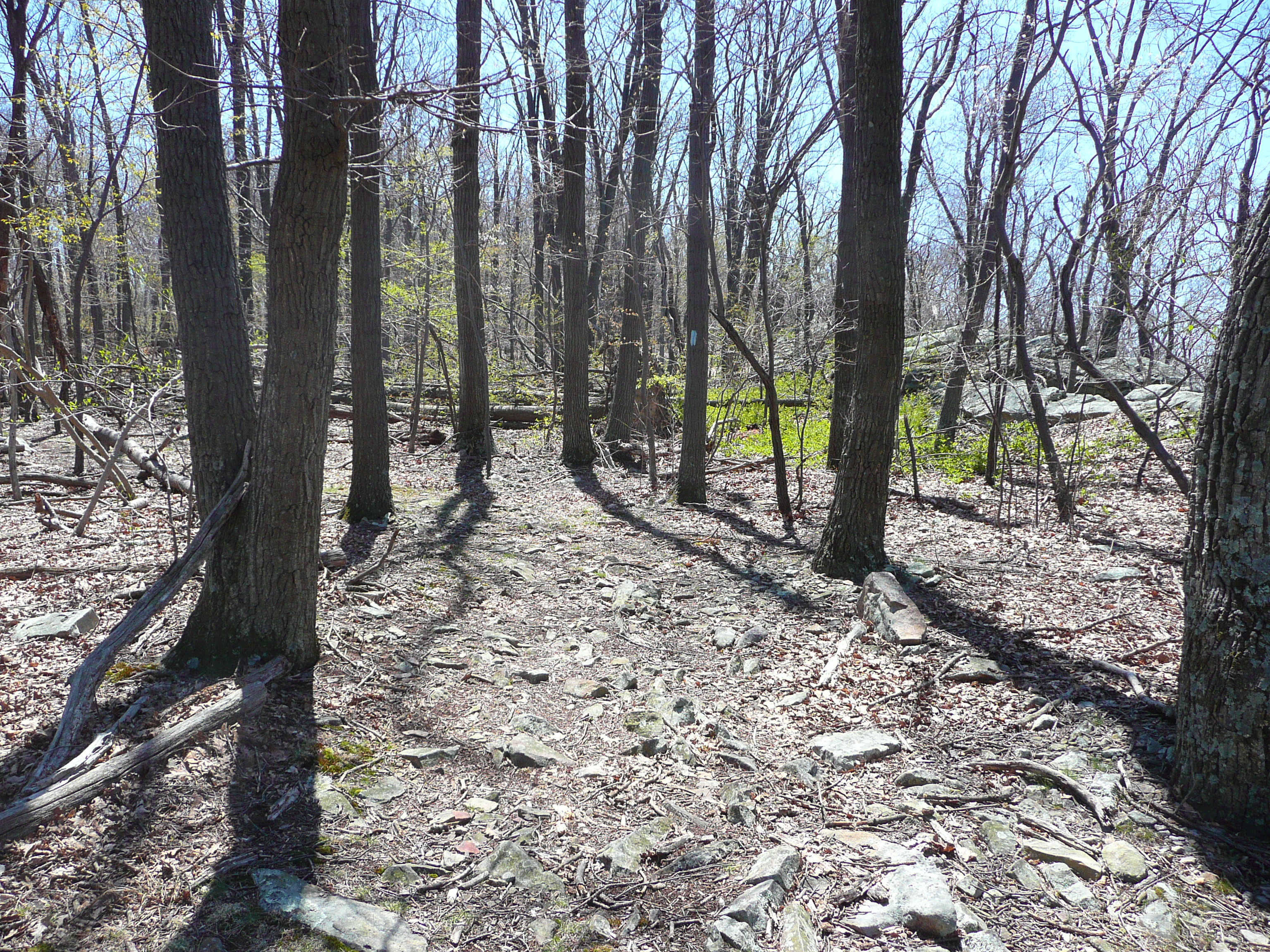
P1040059 83 Shockeys Knob Shelter Tr

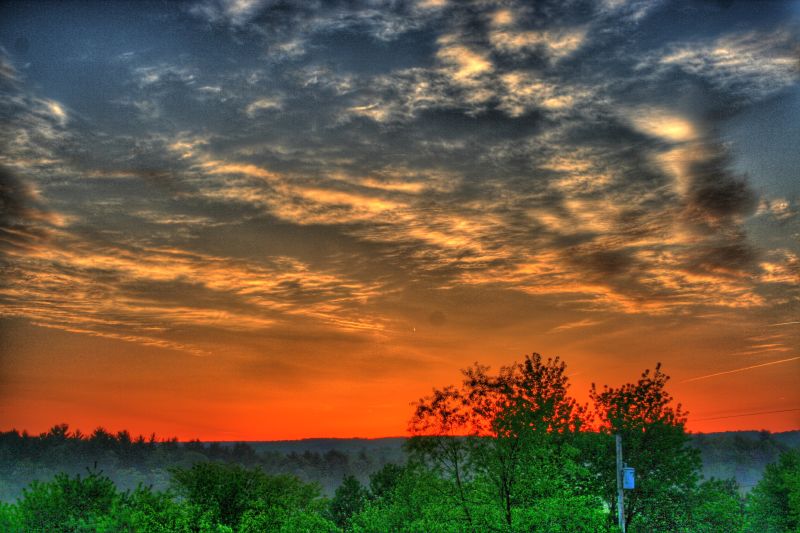
Good morning, Virginia
Dock #crossjunction #virginia

Civil war trail

Civil war trail
Civil war trail

P1030997 64 High Rock Tr Brush Creek xing
Early morning on the farm
Civil war trail
Topographic Map of Eyles Lane, Eyles Ln, Gainesboro, VA, USA
Find elevation by address:

Places near Eyles Lane, Eyles Ln, Gainesboro, VA, USA:
Pine Crest Ln, Winchester, VA, USA
1100 Hunting Ridge Rd
678 Green Spring Rd
1624 Brannons Ford Rd
1624 Brannons Ford Rd
Winchester, VA, USA
Driftwood Drive
2214 Siler Rd
318 Winding Ridge Ln
Winding Ridge Lane
Gainesboro
Gainesboro Rd, Winchester, VA, USA
90 Violet Ridge Dr
950 Nancy Jack Rd
N Frederick Pike, Winchester, VA, USA
981 Valley View Dr
981 Valley View Dr
981 Valley View Dr
1085 Collinsville Rd
Cross Junction
Recent Searches:
- Elevation of Tenjo, Cundinamarca, Colombia
- Elevation of Côte-des-Neiges, Montreal, QC H4A 3J6, Canada
- Elevation of Bobcat Dr, Helena, MT, USA
- Elevation of Zu den Ihlowbergen, Althüttendorf, Germany
- Elevation of Badaber, Peshawar, Khyber Pakhtunkhwa, Pakistan
- Elevation of SE Heron Loop, Lincoln City, OR, USA
- Elevation of Slanický ostrov, 01 Námestovo, Slovakia
- Elevation of Spaceport America, Co Rd A, Truth or Consequences, NM, USA
- Elevation of Warwick, RI, USA
- Elevation of Fern Rd, Whitmore, CA, USA