Elevation of Shubert, NE, USA
Location: United States > Nebraska > Richardson County > East Muddy >
Longitude: -95.682210
Latitude: 40.23639
Elevation: 343m / 1125feet
Barometric Pressure: 97KPa
Elevation Map:
Satellite Map:
Related Photos:

Fading Windmill

Indian Cave State Park, Nebraska

Indian Cave State Park, Nebraska
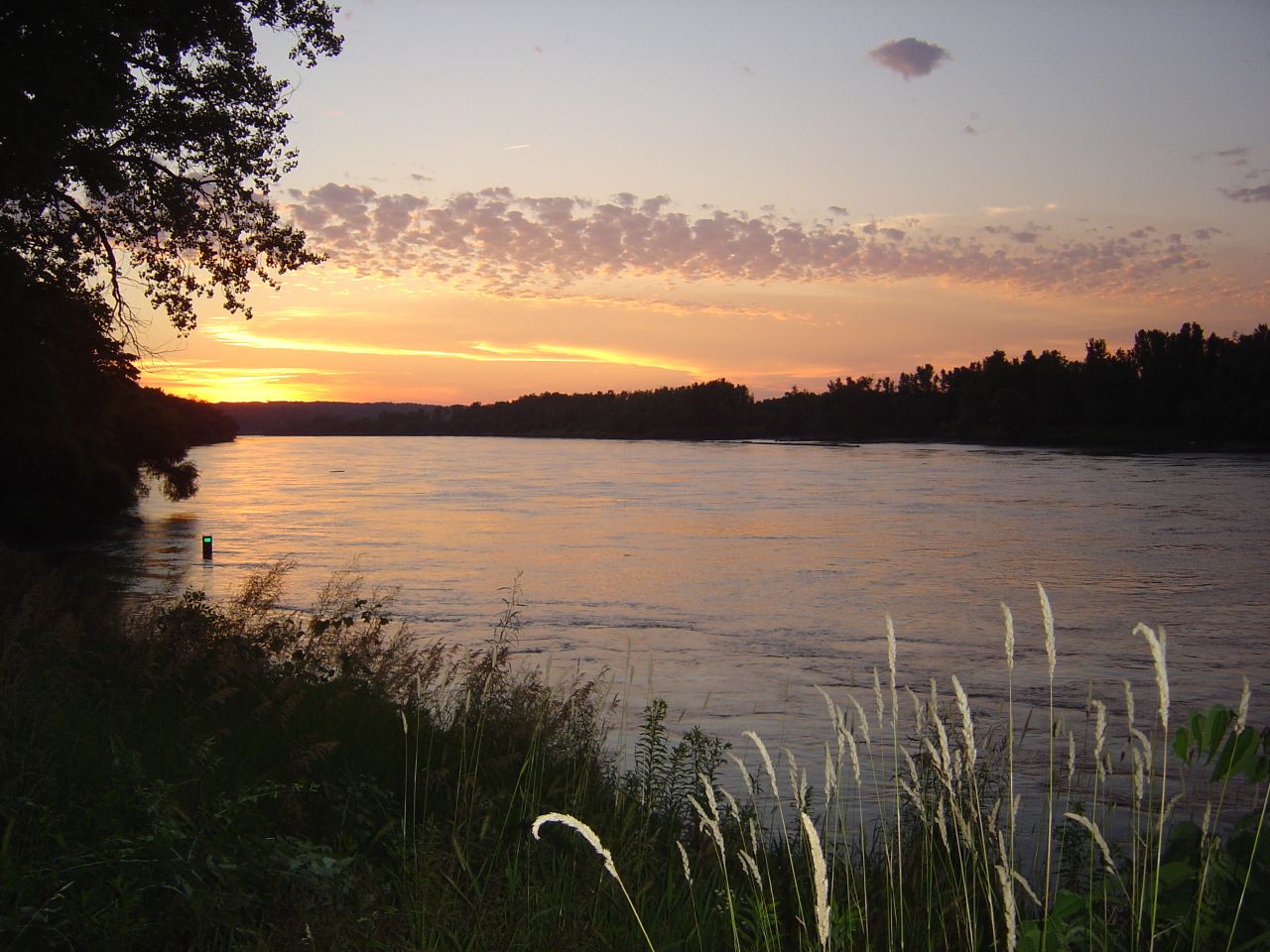
Missouri River at Sunset
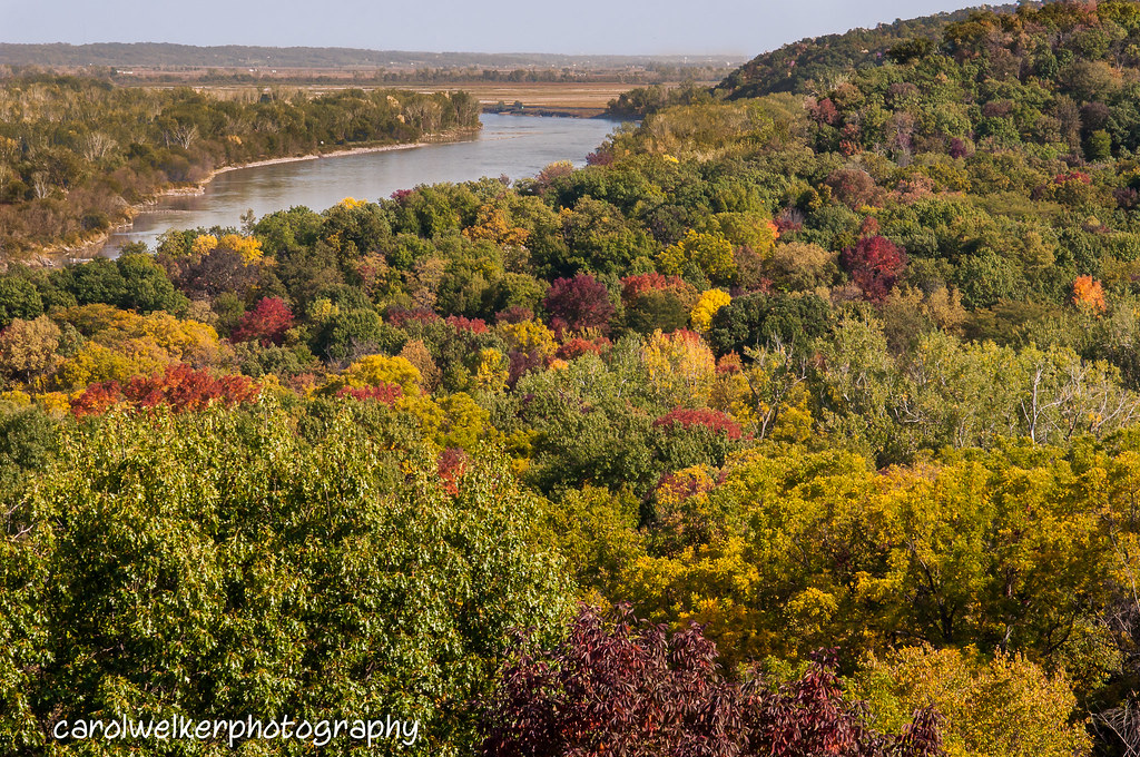
Indian Cave State Park

Indian Cave - Color By The River

Indian Cave State Park, Nebraska
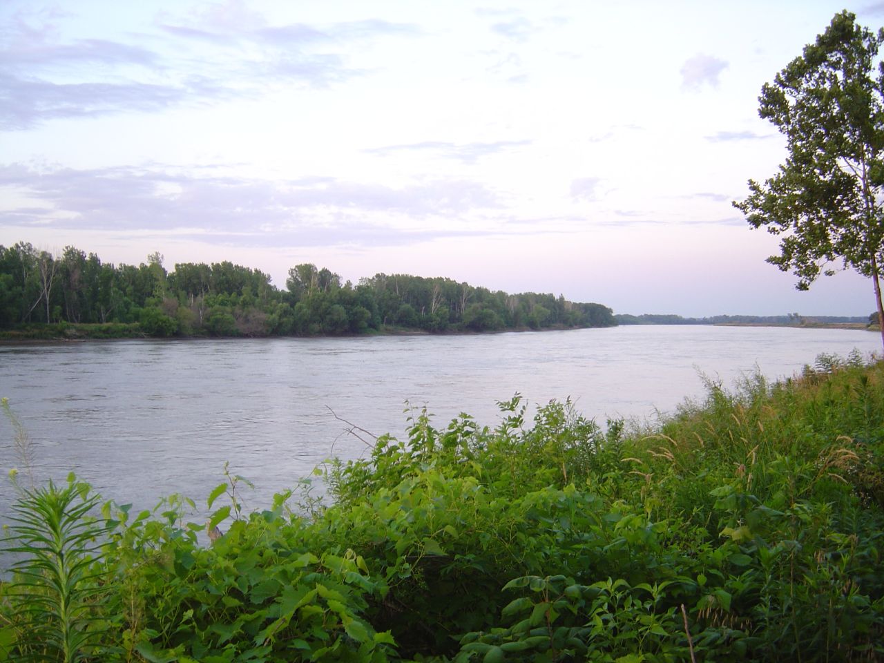
Missouri River from the Nebraska Shore
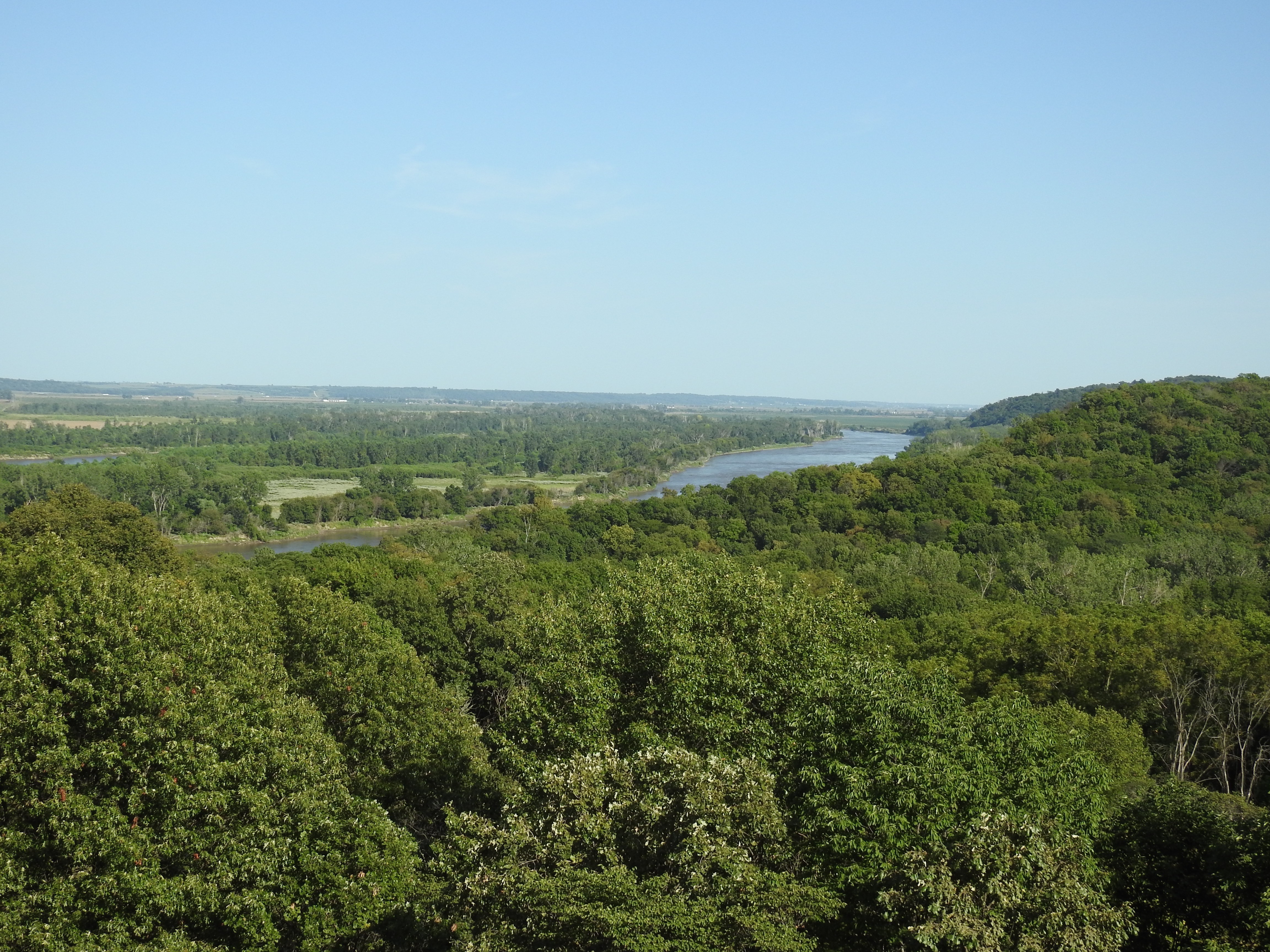
Missouri River
Topographic Map of Shubert, NE, USA
Find elevation by address:

Places in Shubert, NE, USA:
Places near Shubert, NE, USA:
Oak St, Shubert, NE, USA
East Muddy
Richardson County
Brownville
64718 Us-136
Brownville
Grant
Dawson
619 Brookridge Terrace
Nemaha County
2220 N St
Auburn
Betterway Automotive Of Auburn
1308 9th St
1201 6th St
1522 10th St
17th St, Auburn, NE, USA
Douglas
Watson, MO, USA
Morrill
Recent Searches:
- Elevation of Vista Blvd, Sparks, NV, USA
- Elevation of 15th Ave SE, St. Petersburg, FL, USA
- Elevation of Beall Road, Beall Rd, Florida, USA
- Elevation of Leguwa, Nepal
- Elevation of County Rd, Enterprise, AL, USA
- Elevation of Kolchuginsky District, Vladimir Oblast, Russia
- Elevation of Shustino, Vladimir Oblast, Russia
- Elevation of Lampiasi St, Sarasota, FL, USA
- Elevation of Elwyn Dr, Roanoke Rapids, NC, USA
- Elevation of Congressional Dr, Stevensville, MD, USA