Elevation of Grant, NE, USA
Location: United States > Nebraska > Richardson County >
Longitude: -95.835383
Latitude: 40.1416738
Elevation: 325m / 1066feet
Barometric Pressure: 97KPa
Elevation Map:
Satellite Map:
Related Photos:
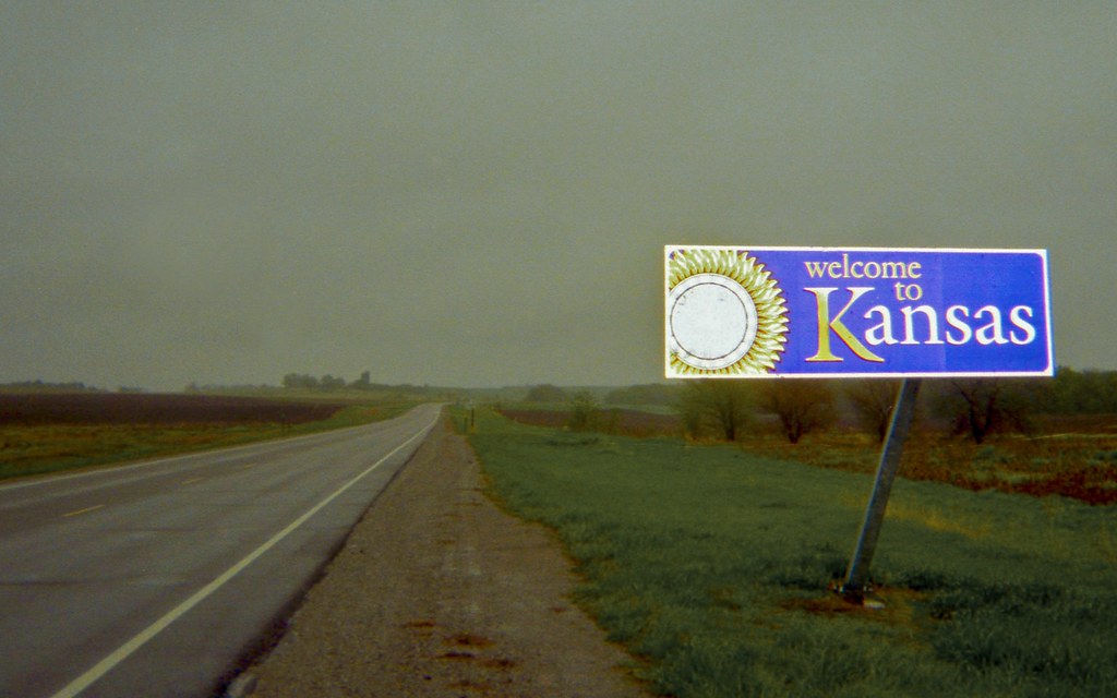
Welcome to Kansas
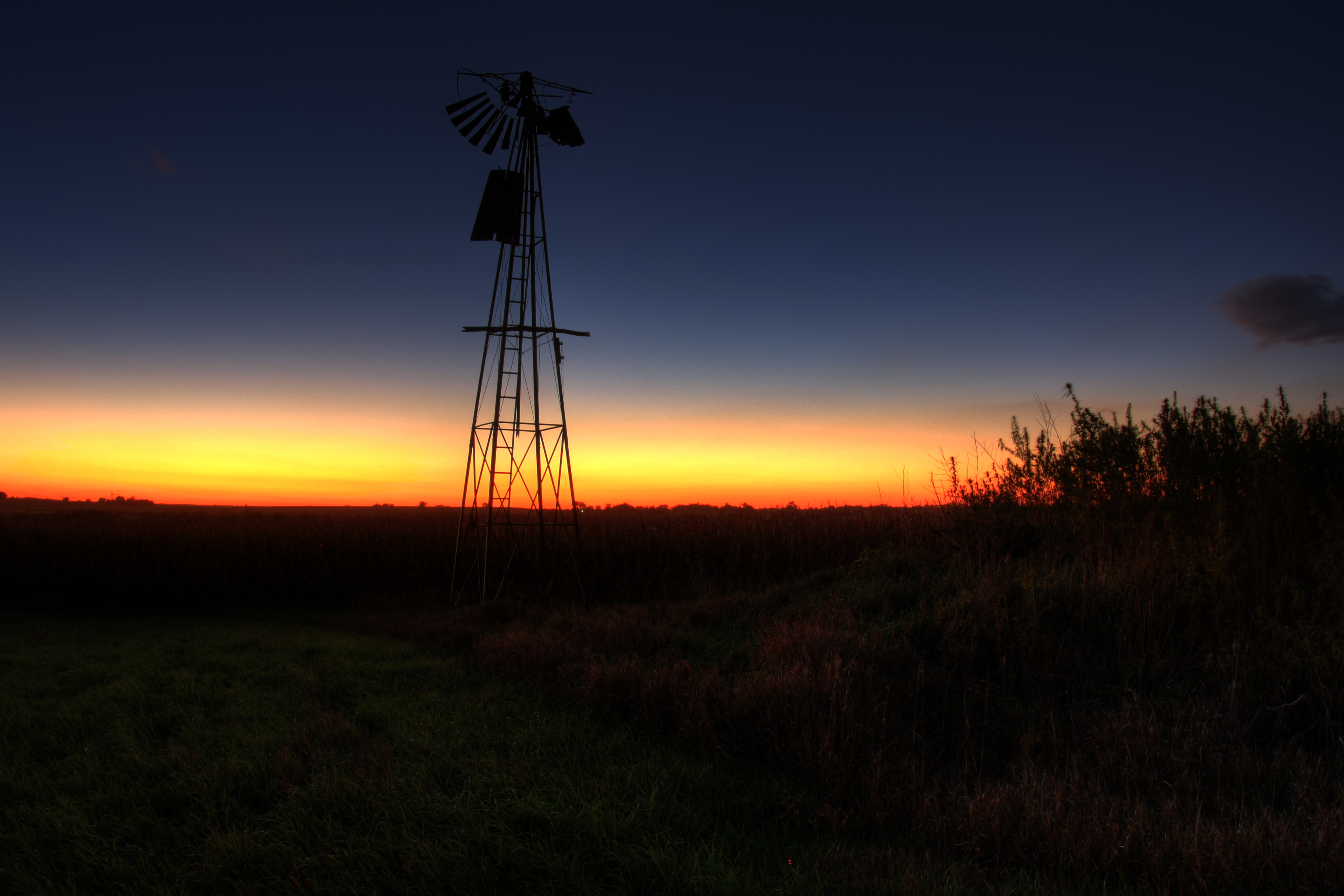
Fading Windmill
StormChasing 413

The young ones are getting bigger.
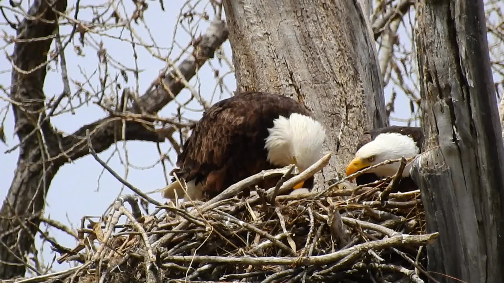
Eagles feeding babies
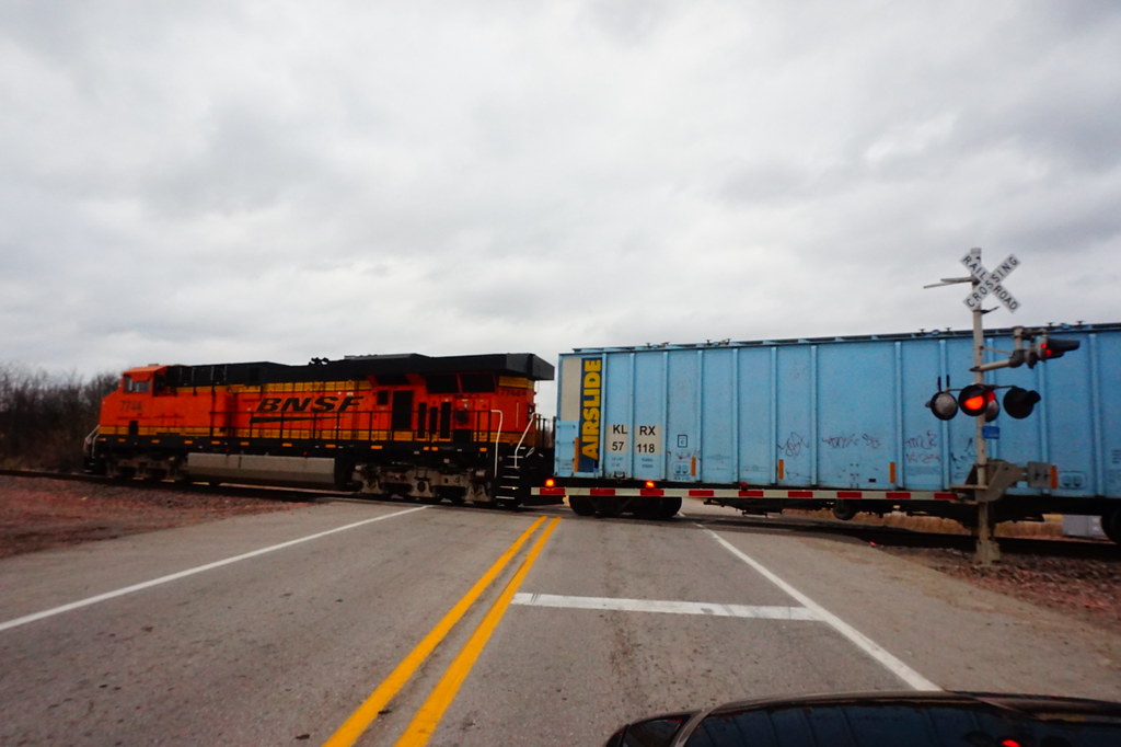
DPU at Dawson

BNSF 6863 Heading East at Dawson

Old Salem calaboose

Salem witch house

Looking out for the little ones.
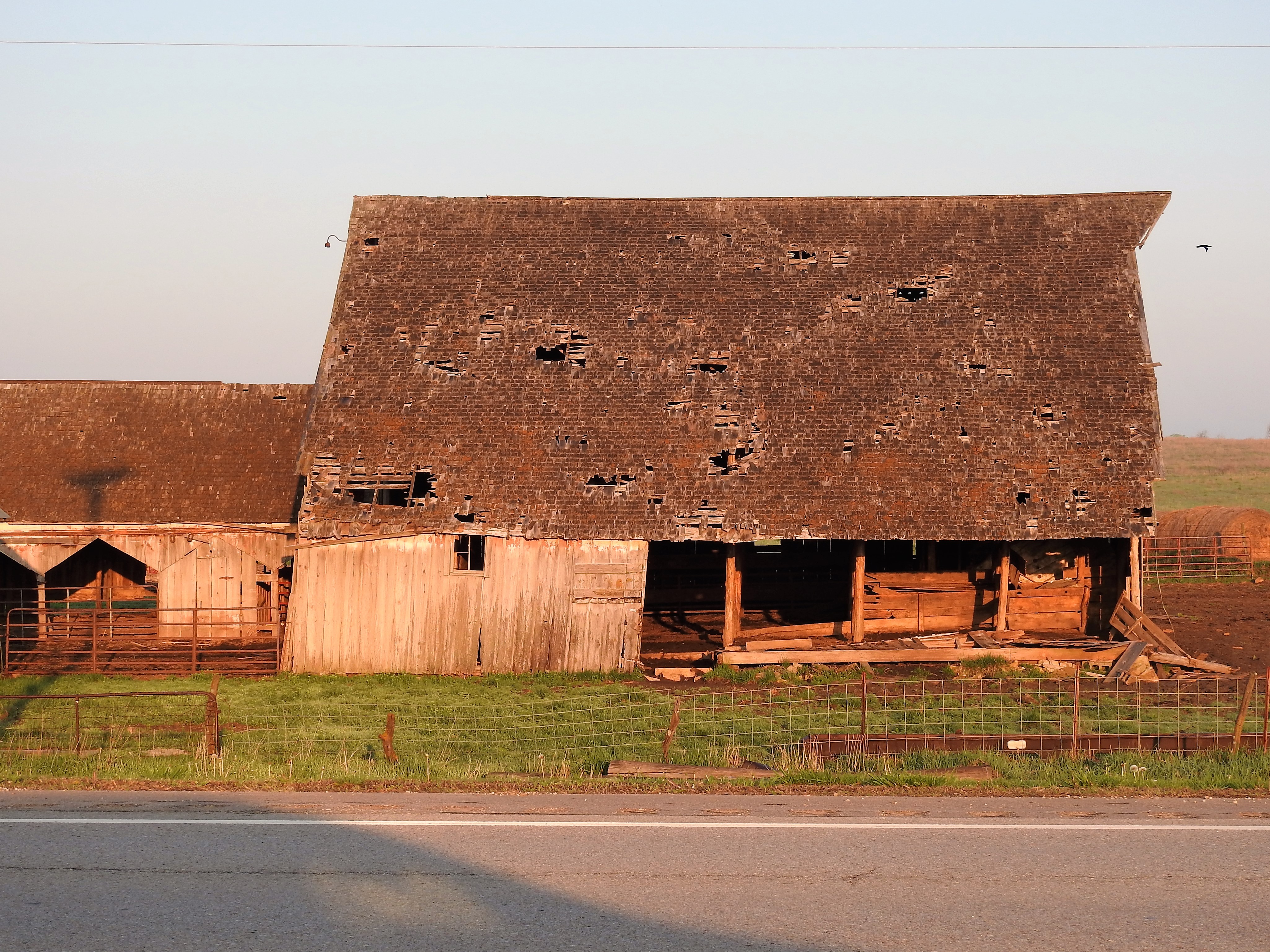
Another old SE Nebraska barn.
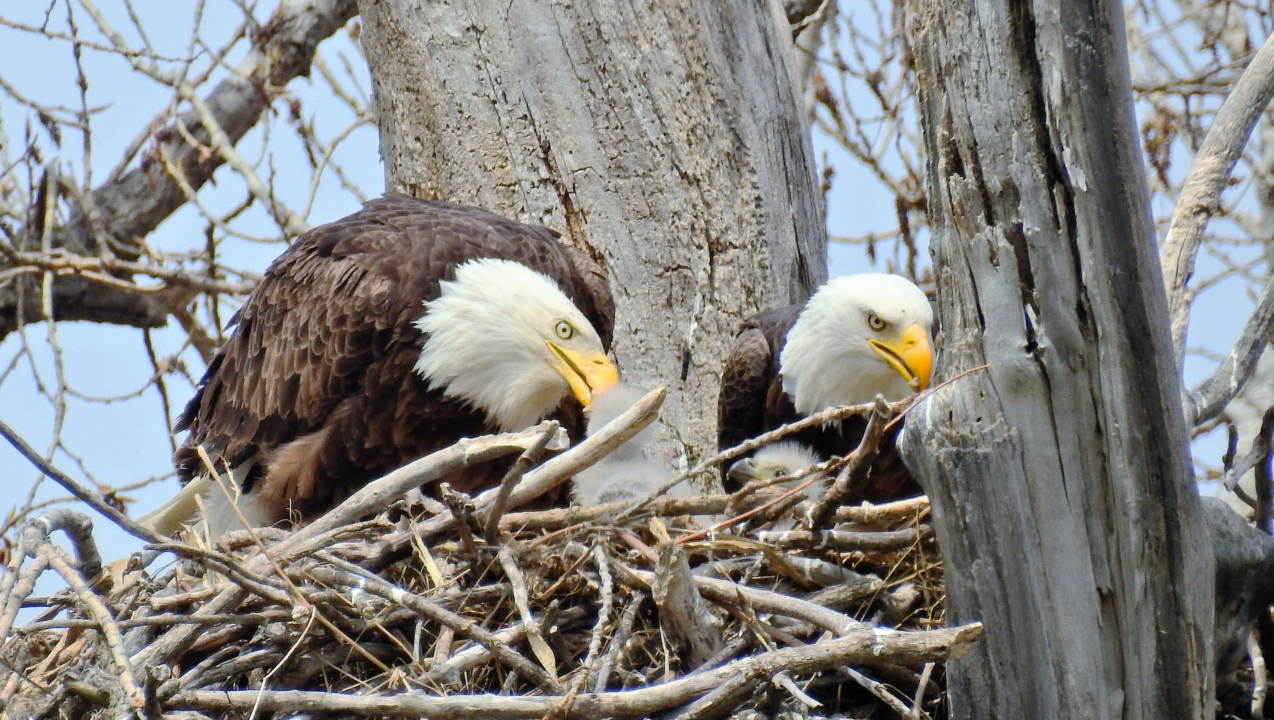
Feeding the little ones.
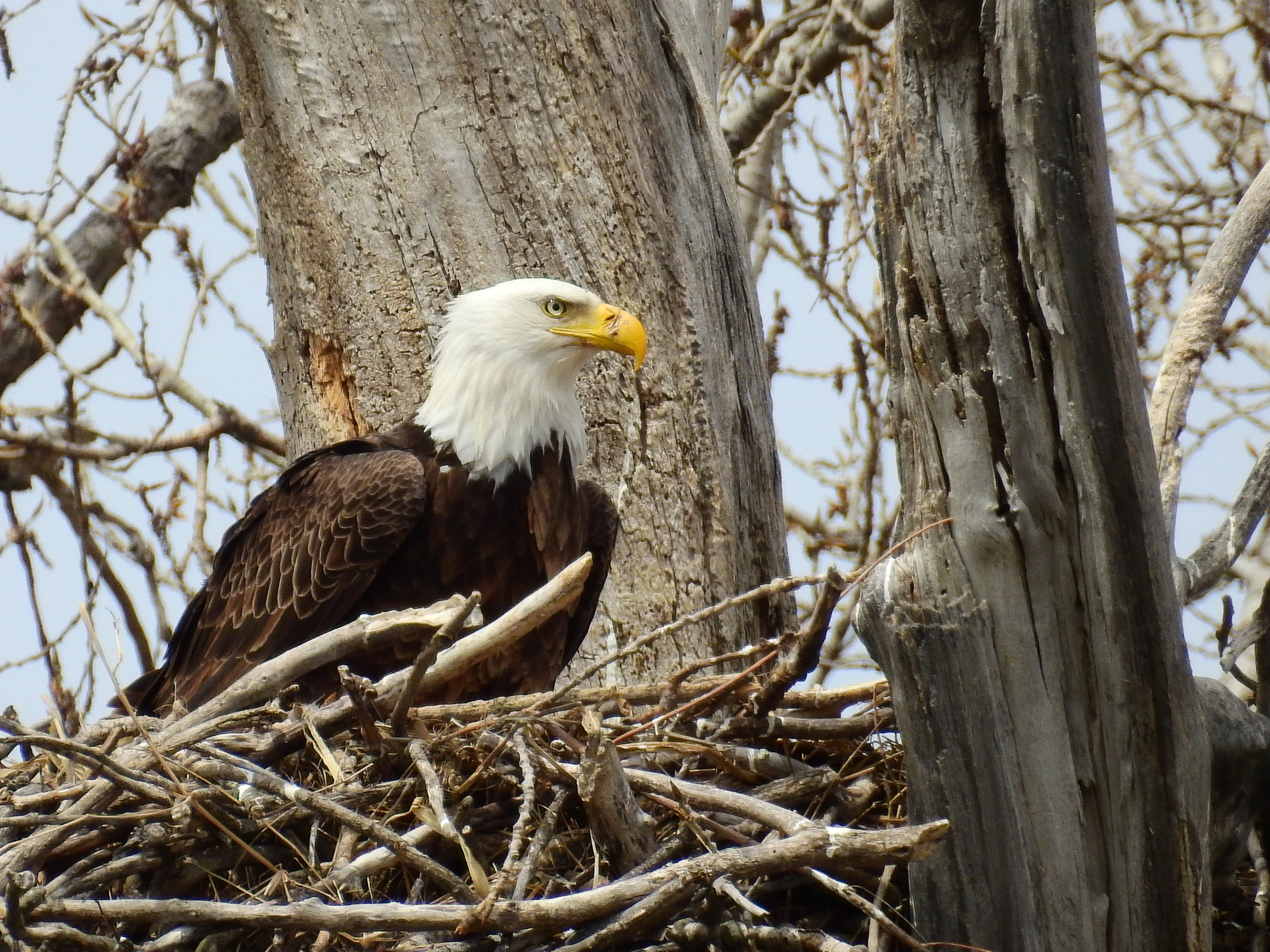
Bald Eagle

Another 2000mm eagles nest shot
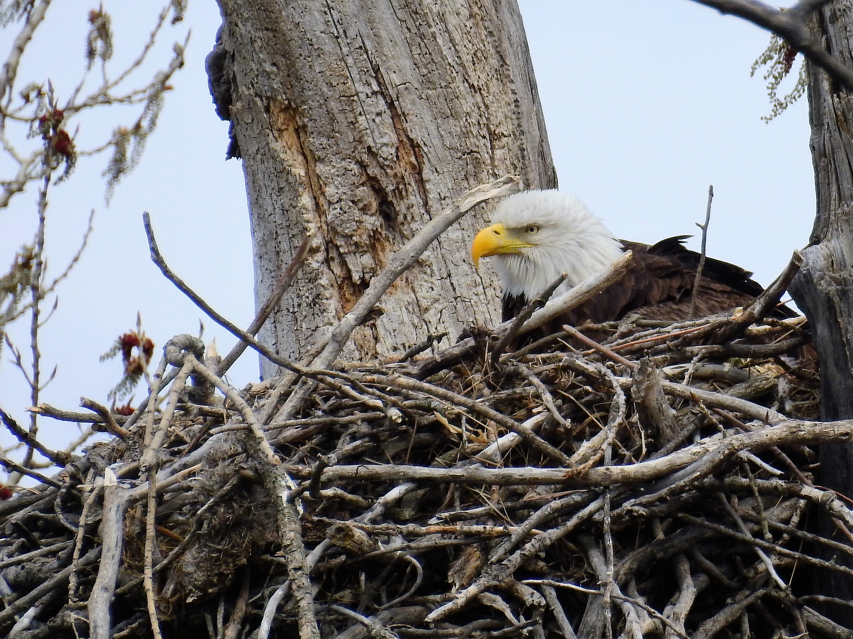
Eagle's Nest

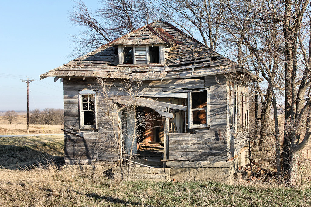
Four Mile Congregational Church - rural Humboldt, NE

Four Mile Congregational Church - rural Humboldt, NE
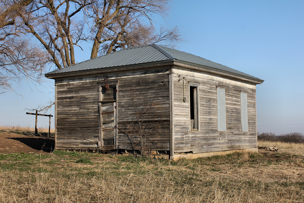
Dry Branch School, District 2 - rural Humboldt, NE
Rose Dale School, District 40 - rural Humboldt, NE

Rose Dale School, District 40 - rural Humboldt, NE

Downtown Buildings - Humboldt, NE

Bruun Building - Humboldt, NE
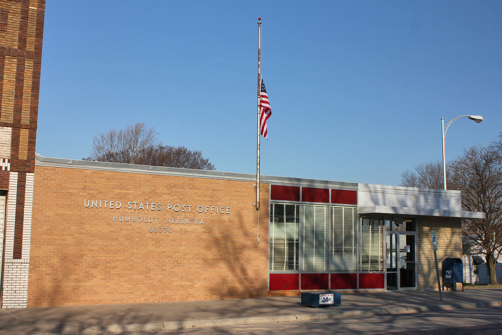
Post Office - Humboldt, NE

M.W. Harding Garage - Humboldt, NE
Topographic Map of Grant, NE, USA
Find elevation by address:

Places in Grant, NE, USA:
Places near Grant, NE, USA:
Dawson
East Muddy
Shubert
Oak St, Shubert, NE, USA
Richardson County
Washington
2117 200th Rd
2117 200th Rd
Railroad St, Bern, KS, USA
Bern
Morrill
2220 N St
Sabetha
619 Brookridge Terrace
17th St, Auburn, NE, USA
Betterway Automotive Of Auburn
Auburn
1522 10th St
1308 9th St
Douglas
Recent Searches:
- Elevation of Elwyn Dr, Roanoke Rapids, NC, USA
- Elevation of Congressional Dr, Stevensville, MD, USA
- Elevation of Bellview Rd, McLean, VA, USA
- Elevation of Stage Island Rd, Chatham, MA, USA
- Elevation of Shibuya Scramble Crossing, 21 Udagawacho, Shibuya City, Tokyo -, Japan
- Elevation of Jadagoniai, Kaunas District Municipality, Lithuania
- Elevation of Pagonija rock, Kranto 7-oji g. 8"N, Kaunas, Lithuania
- Elevation of Co Rd 87, Jamestown, CO, USA
- Elevation of Tenjo, Cundinamarca, Colombia
- Elevation of Côte-des-Neiges, Montreal, QC H4A 3J6, Canada