Elevation of Brownville, NE, USA
Location: United States > Nebraska > Nemaha County > Brownville >
Longitude: -95.658045
Latitude: 40.3977793
Elevation: 293m / 961feet
Barometric Pressure: 98KPa
Elevation Map:
Satellite Map:
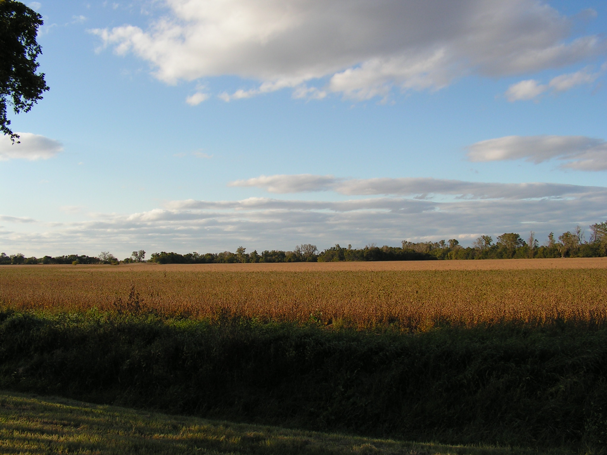
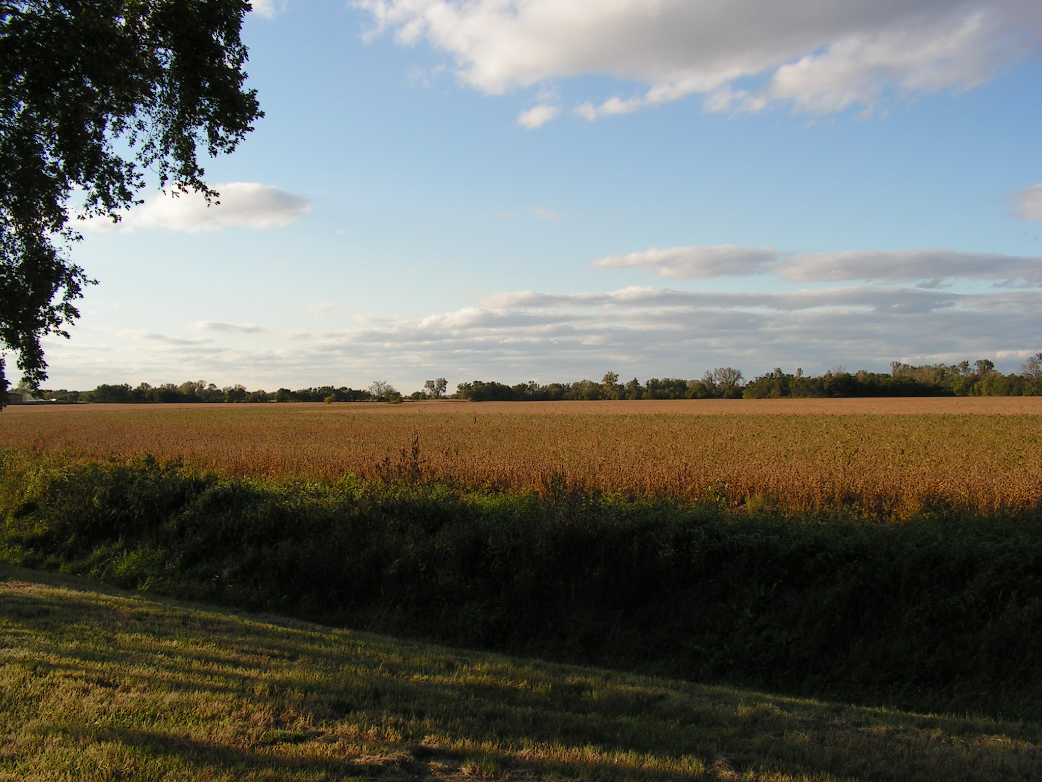
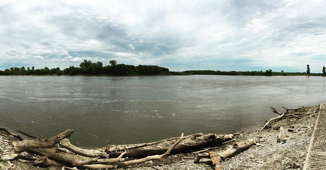
Related Photos:

Own it.

#selfie #inmycar #sunroof #clouds #sky #view #cruising #omaha #amazing #wednesday #love my #car #photowall_bw #photowall_sky #photowall #primeshots #instagood #beautiful #bw #monochrome #jaimevermeer and yes I know I'm an #excessivehashtagger #tagcrazy #i
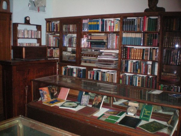
Rare Book Room
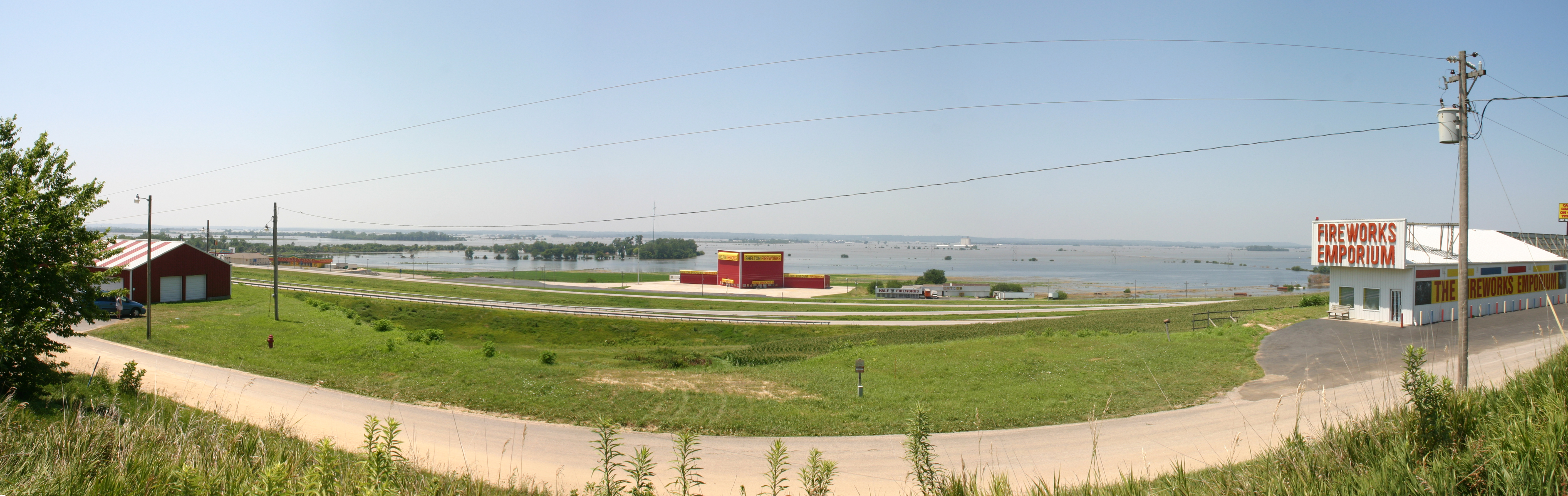
MO/NE flooding
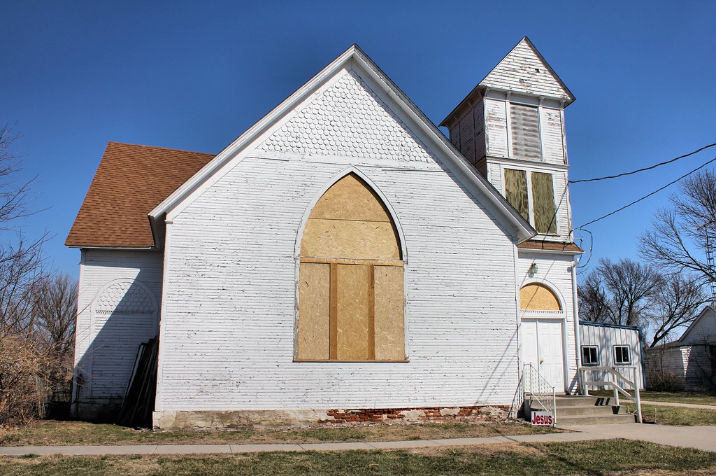
High Creek Baptist Church - rural Watson, MO

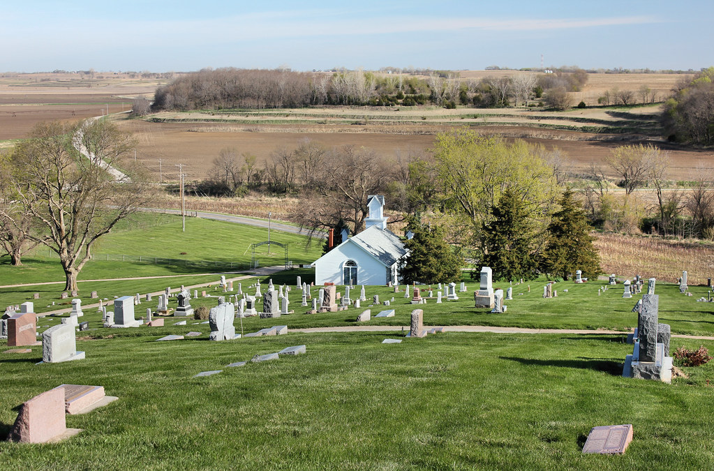
High Creek Cemetery - rural Watson, MO
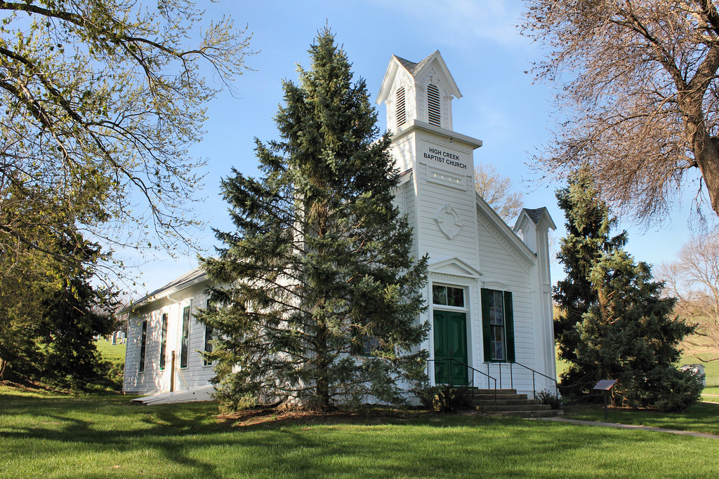
High Creek Baptist Church - rural Watson, MO
Watson Baptist Church - Watson, MO
IMG_3511.JPG
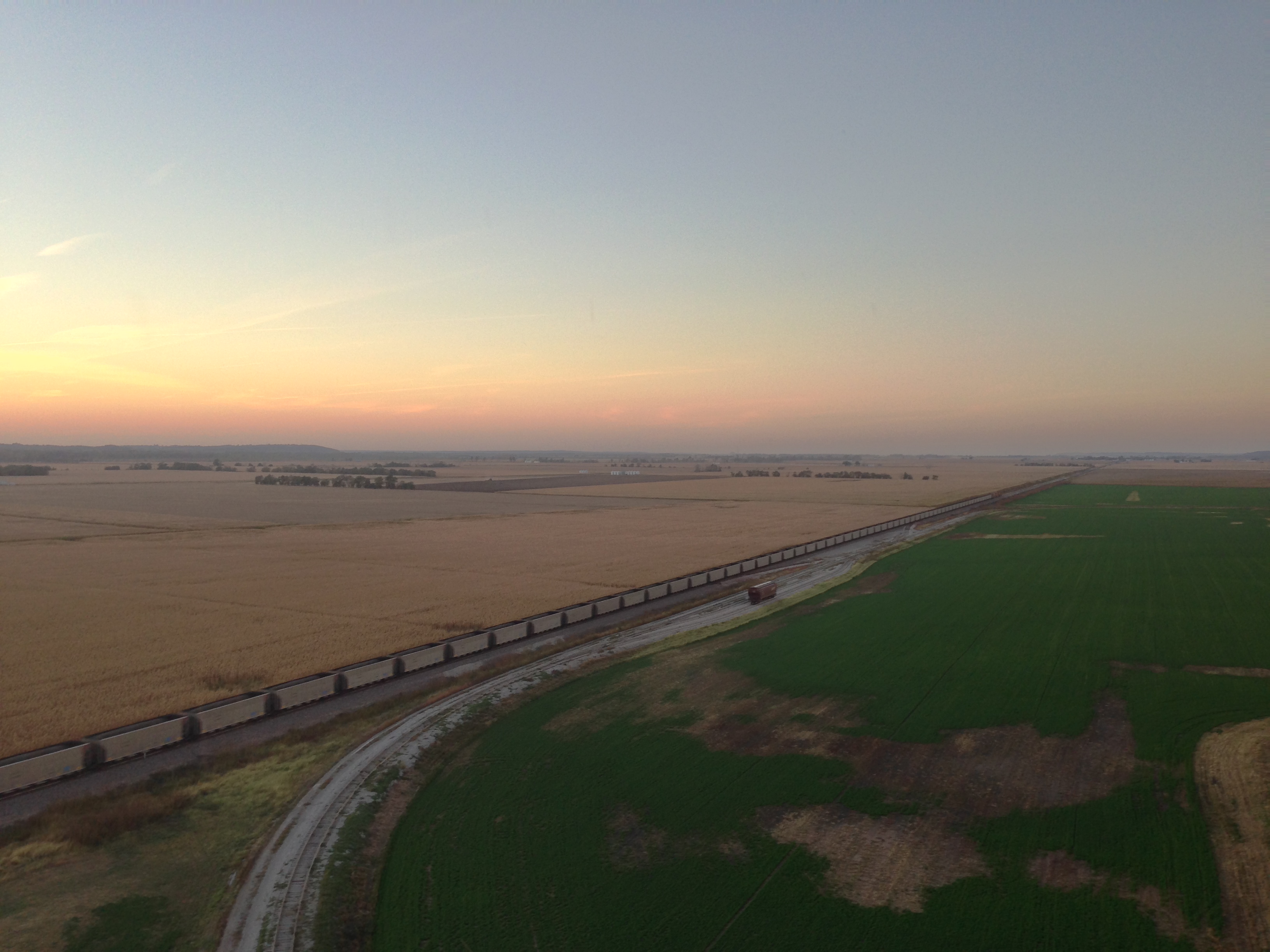
I29 NB
Front Over Auburn

Fine Green
Half Breed Tract Memorial - 2
Half Breed Tract Memorial - 3
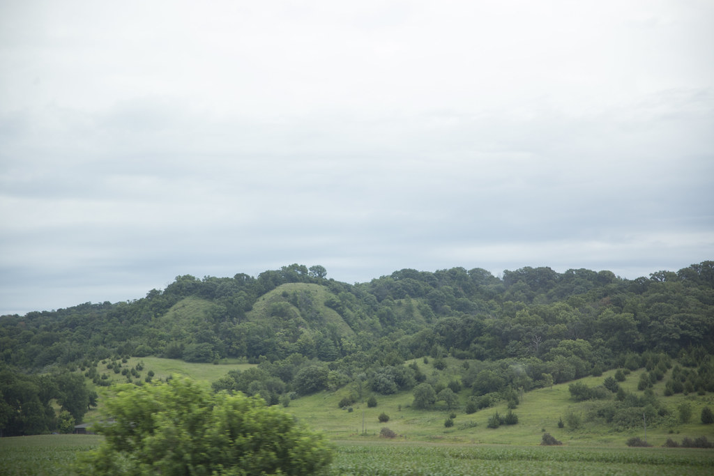
missouri hills_8352
#moriver #missouririver #nebraska #peru #boatramp
IMG_3514.JPG
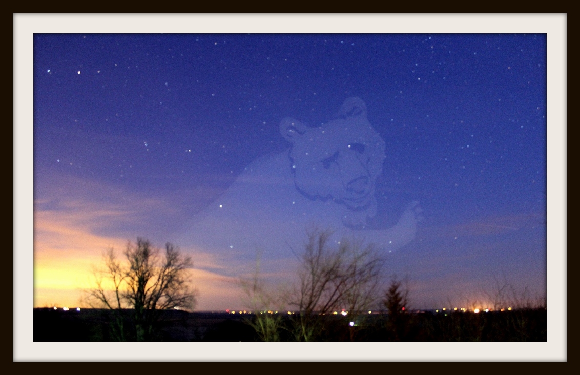
Big Bear Rising
Topographic Map of Brownville, NE, USA
Find elevation by address:

Places near Brownville, NE, USA:
64718 Us-136
Brownville
Watson, MO, USA
Nemaha County
Oak St, Shubert, NE, USA
Shubert
Auburn
619 Brookridge Terrace
Betterway Automotive Of Auburn
East Muddy
1201 6th St
1308 9th St
2220 N St
1522 10th St
3179 Main St
300 Park St
17th St, Auburn, NE, USA
Agrivision Equipment
2762 Co Rd J64
908 Main St
Recent Searches:
- Elevation of Vista Blvd, Sparks, NV, USA
- Elevation of 15th Ave SE, St. Petersburg, FL, USA
- Elevation of Beall Road, Beall Rd, Florida, USA
- Elevation of Leguwa, Nepal
- Elevation of County Rd, Enterprise, AL, USA
- Elevation of Kolchuginsky District, Vladimir Oblast, Russia
- Elevation of Shustino, Vladimir Oblast, Russia
- Elevation of Lampiasi St, Sarasota, FL, USA
- Elevation of Elwyn Dr, Roanoke Rapids, NC, USA
- Elevation of Congressional Dr, Stevensville, MD, USA