Elevation of AgriVision Equipment, th Ave, Hamburg, IA, USA
Location: United States > Iowa > Fremont County > Hamburg >
Longitude: -95.667938
Latitude: 40.6002954
Elevation: 277m / 909feet
Barometric Pressure: 98KPa
Elevation Map:
Satellite Map:
Related Photos:
Fields in Iowa

Shared weigh station

BNSF 9193 (rear view)
Fall Panorama
High Creek Baptist Church - rural Watson, MO
High Creek Baptist Church - rural Watson, MO
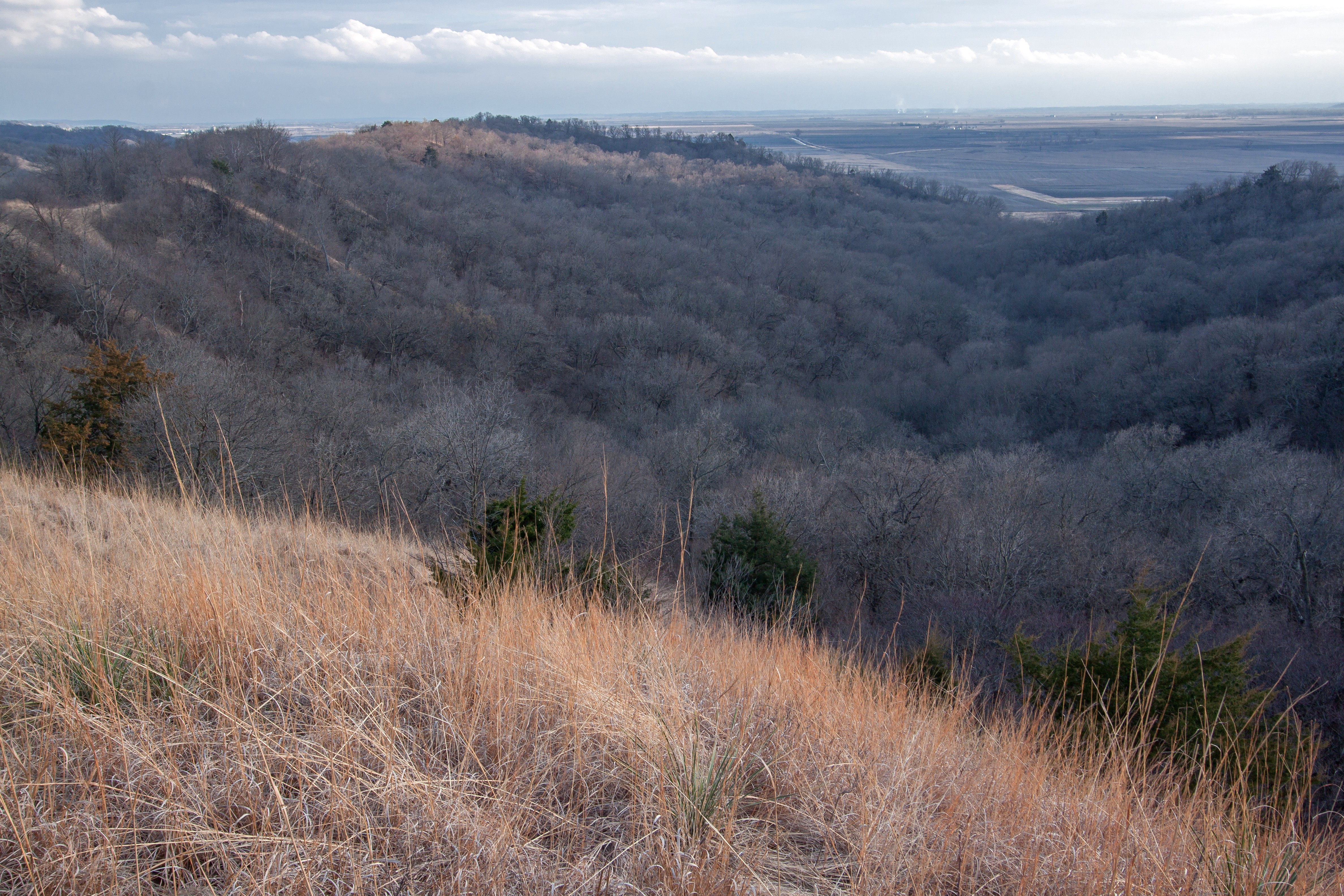
Waubonsie State Park

Star School Hill Prairie

Waubonsie Overlook, NW
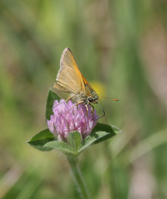
Tawny-edged Skipper (Polites themistocles themistocles)
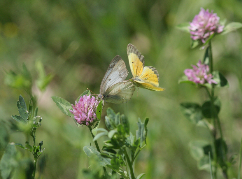
Orange Sulphurs (Colias eurytheme)

Sachem (Atalopedes campestris huron)
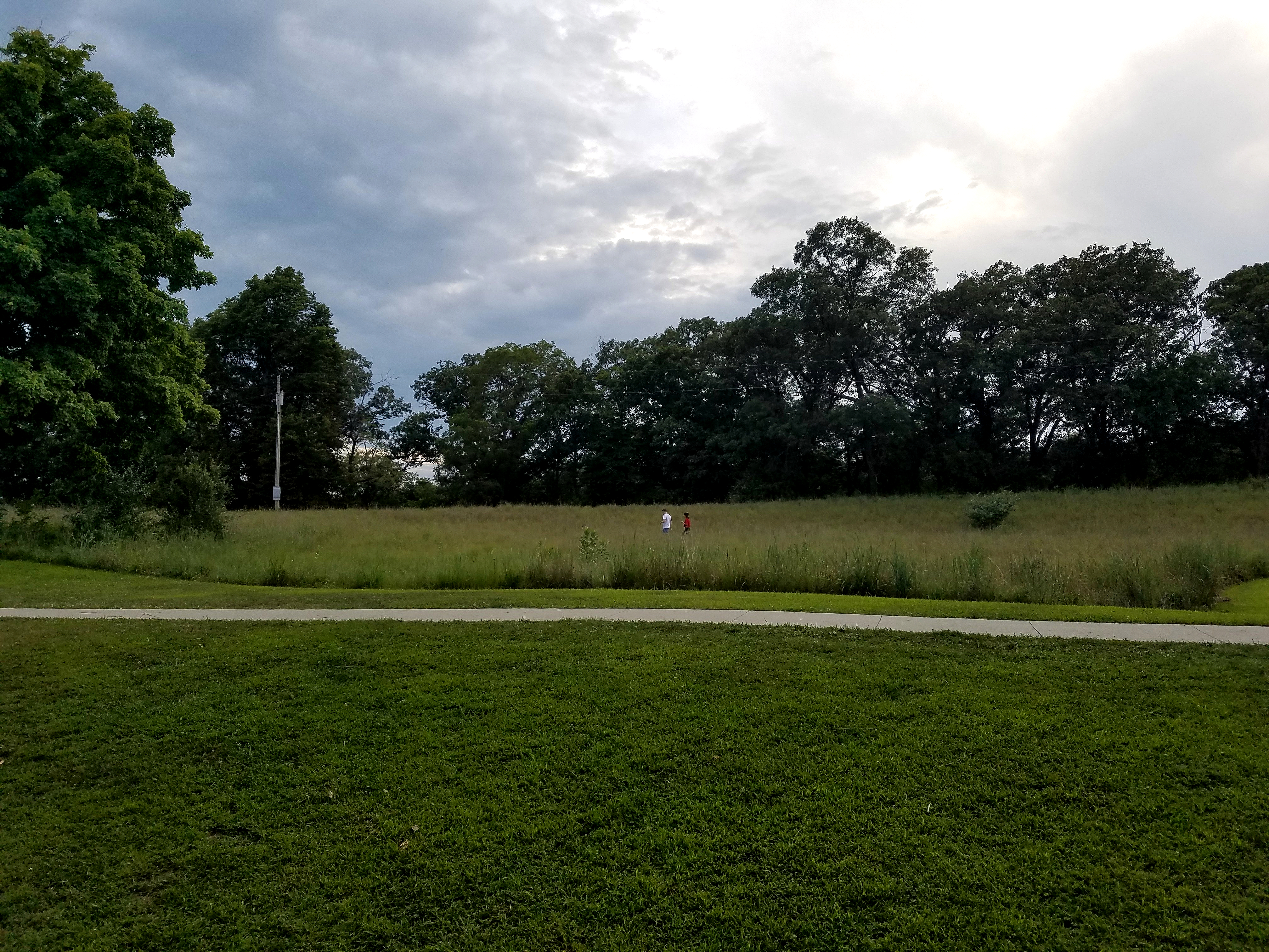
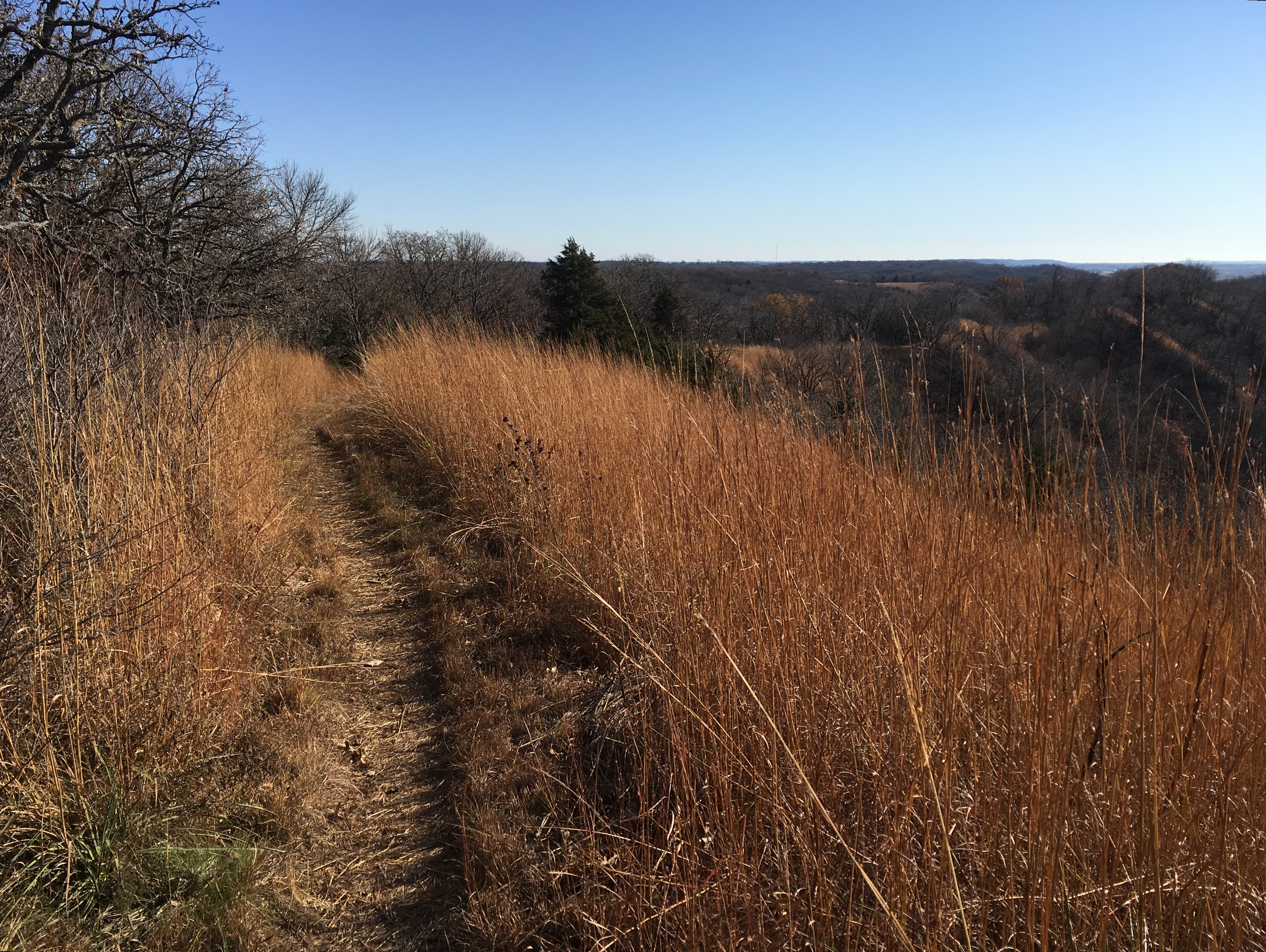
Sunset Ridge Trail
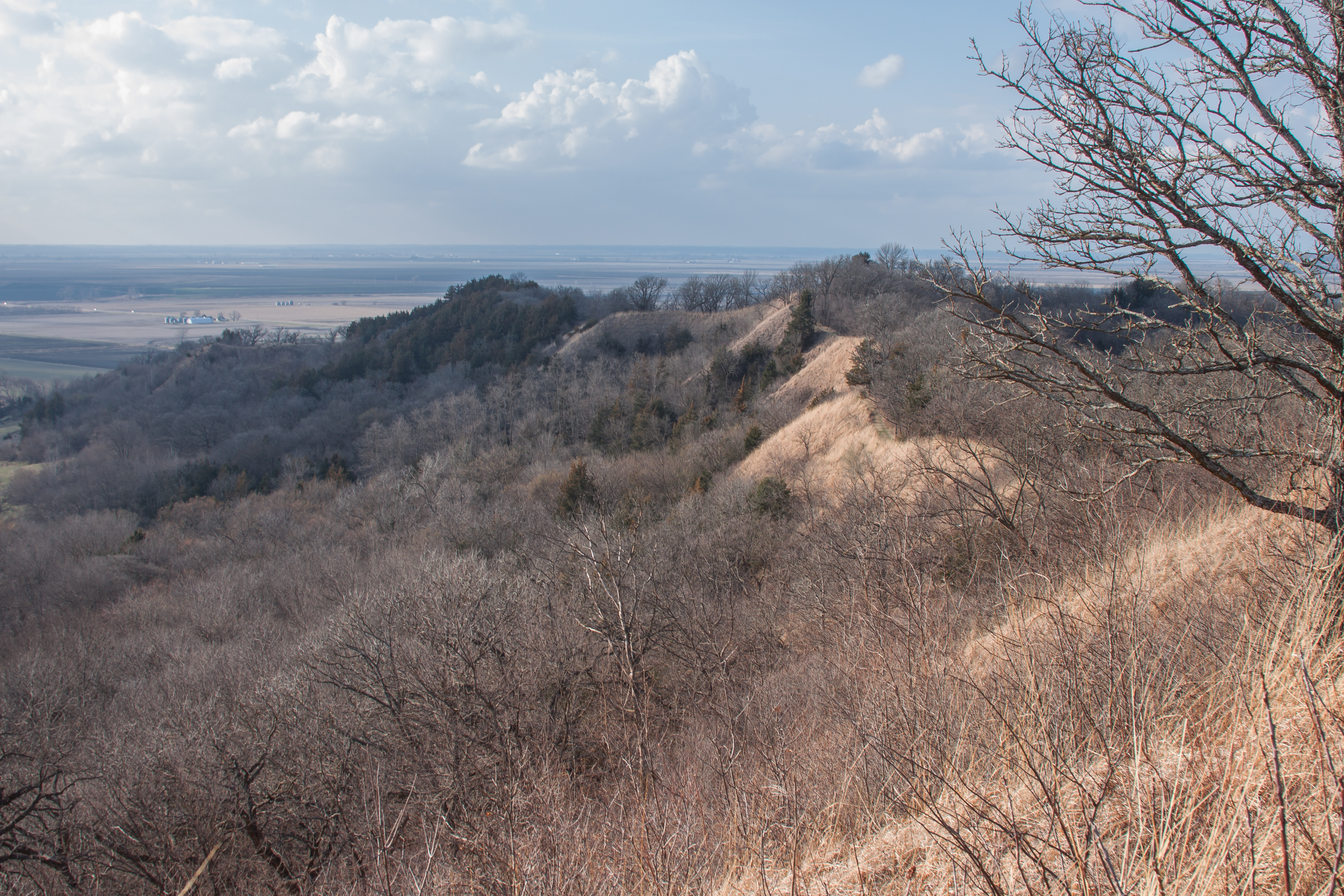
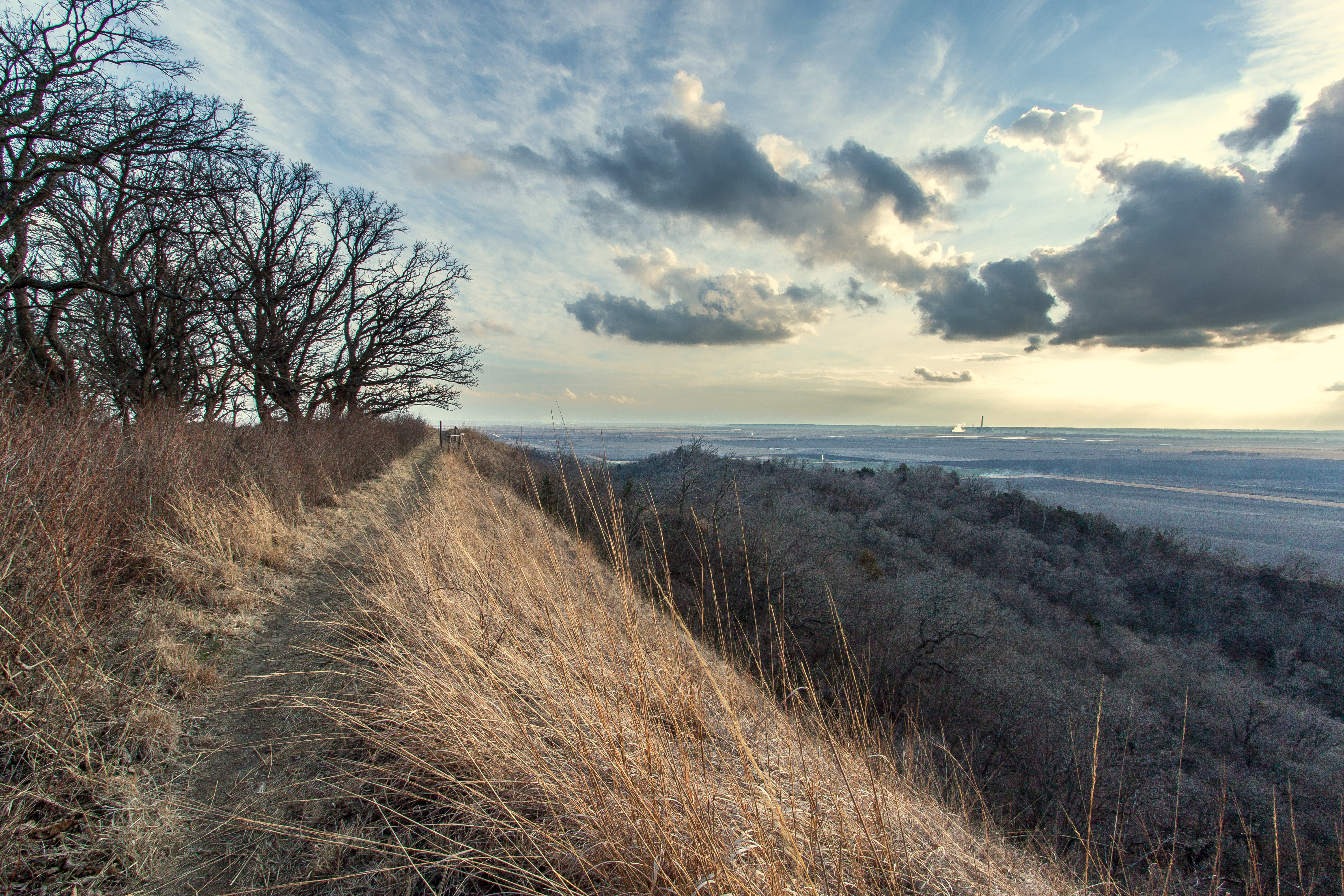
Loess Hills
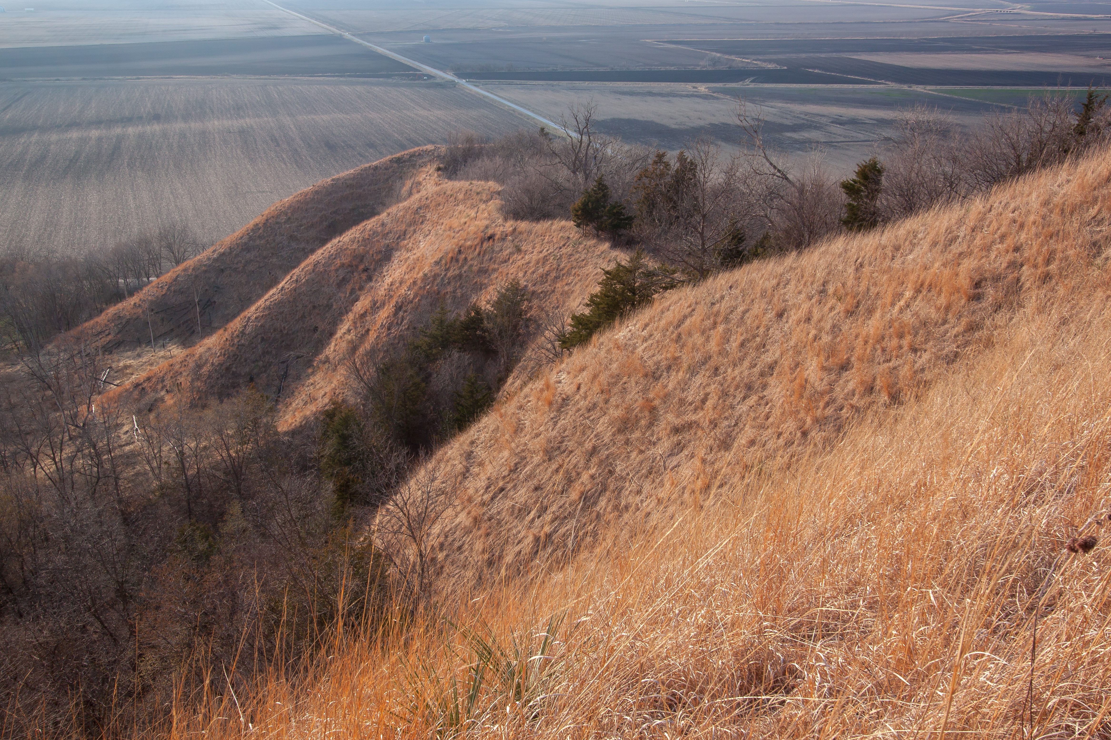
Loess Hills
Loess Hills
Waubonsie State Park

Big Bear Rising
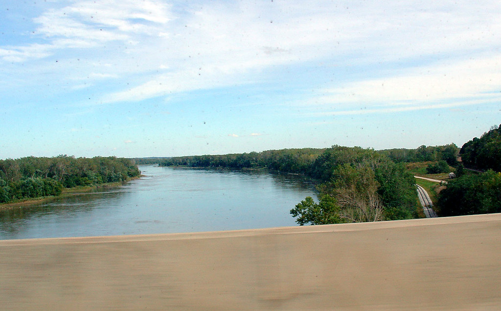
Over the Missouri River on Hwy 2, 22 Sept 2006
Waubonsie State Park
Topographic Map of AgriVision Equipment, th Ave, Hamburg, IA, USA
Find elevation by address:

Places near AgriVision Equipment, th Ave, Hamburg, IA, USA:
1104 Willow St
101 C St
101 C St
3179 Main St
908 Main St
300 Park St
1103 Main St
1105 Main St
Hamburg
Main St, Hamburg, IA, USA
1309 Argyle St
1020 Main St
Medical Clinic
308 F St
2301 Washington St
309 S St
104 Fox Cir
2959 Us-275
2762 Co Rd J64
Washington
Recent Searches:
- Elevation of Leyte Industrial Development Estate, Isabel, Leyte, Philippines
- Elevation of W Granada St, Tampa, FL, USA
- Elevation of Pykes Down, Ivybridge PL21 0BY, UK
- Elevation of Jalan Senandin, Lutong, Miri, Sarawak, Malaysia
- Elevation of Bilohirs'k
- Elevation of 30 Oak Lawn Dr, Barkhamsted, CT, USA
- Elevation of Luther Road, Luther Rd, Auburn, CA, USA
- Elevation of Unnamed Road, Respublika Severnaya Osetiya — Alaniya, Russia
- Elevation of Verkhny Fiagdon, North Ossetia–Alania Republic, Russia
- Elevation of F. Viola Hiway, San Rafael, Bulacan, Philippines