Elevation of Shoal Creek Township, AR, USA
Location: United States > Arkansas > Logan County >
Longitude: -93.439738
Latitude: 35.2759526
Elevation: 132m / 433feet
Barometric Pressure: 100KPa
Elevation Map:
Satellite Map:
Related Photos:

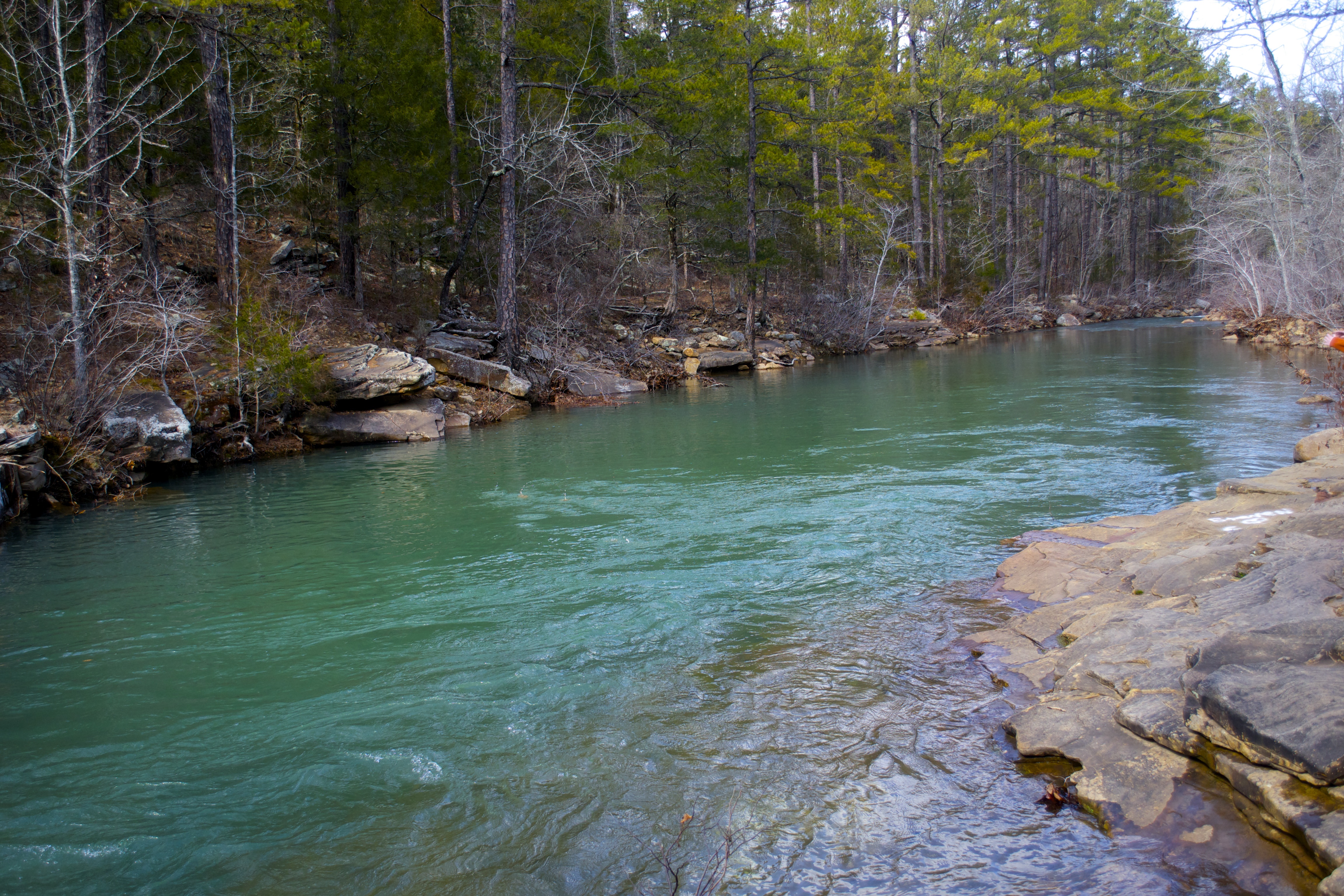
Clayton view shoals creek
Mt. Magazine waterfall
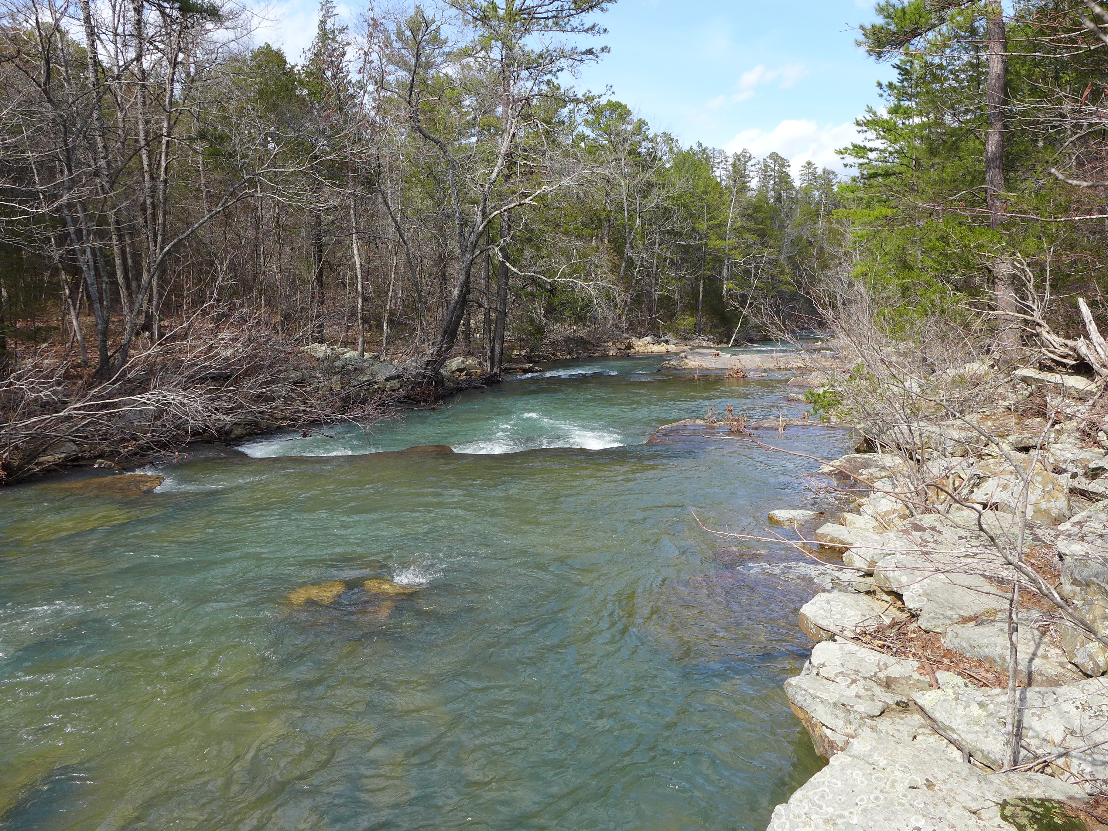
Little Shoal Creek-Deck View
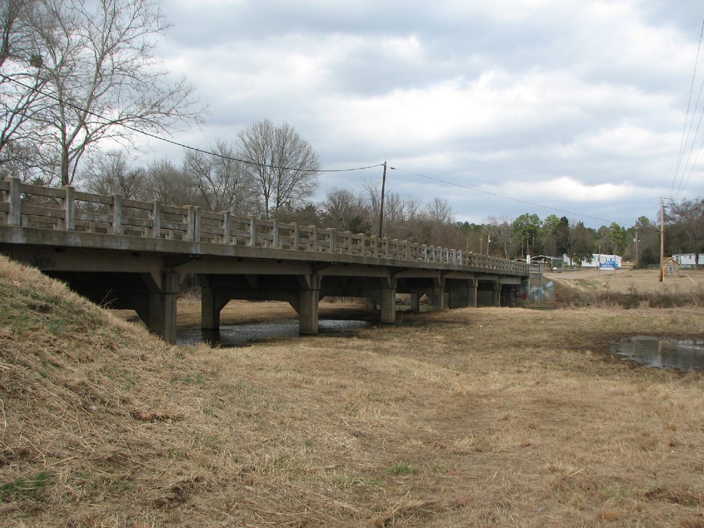
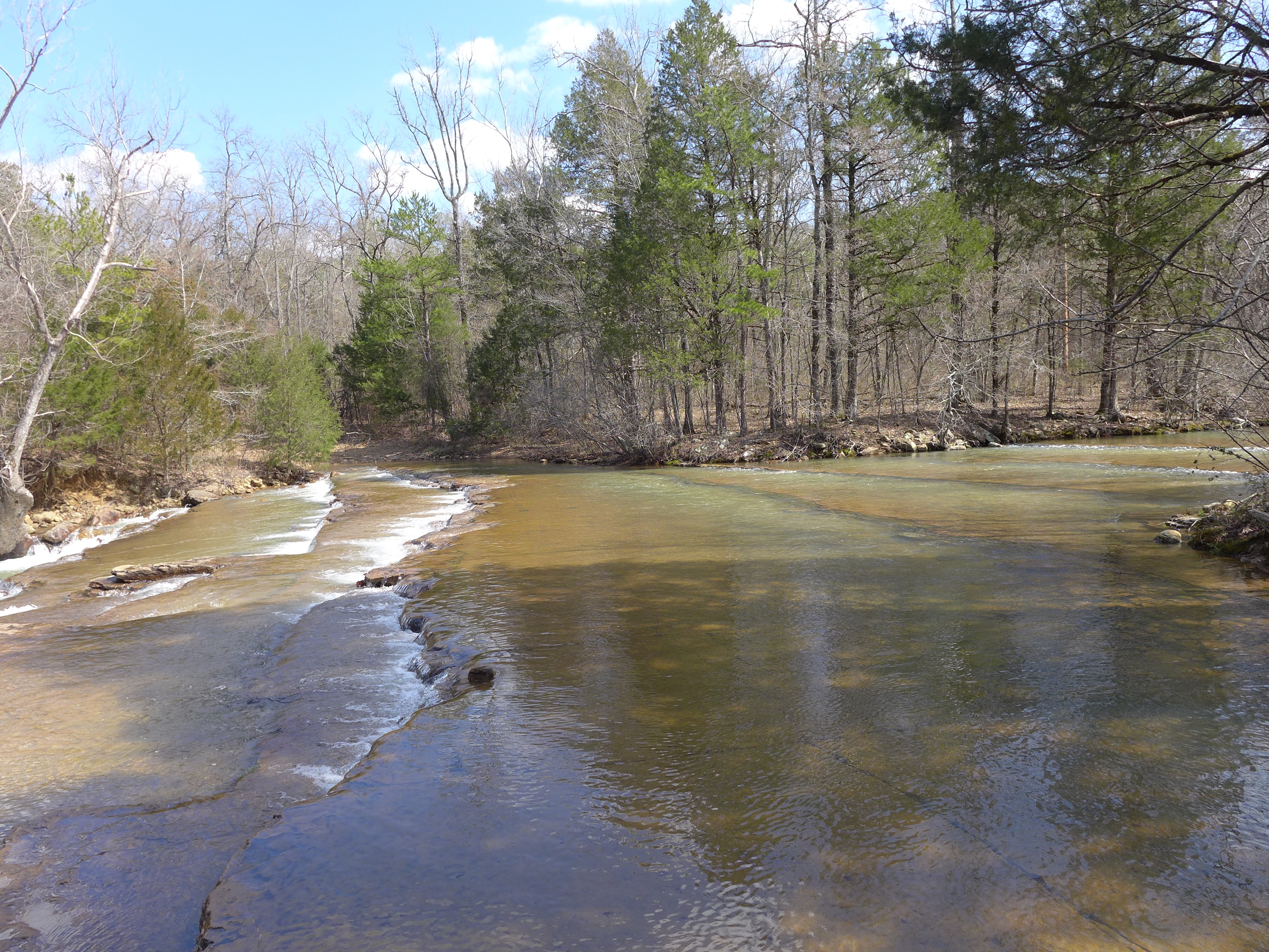
Little Shoal Creek-Side View

20151106_172350_Richtone(HDR)

Sunset over Lake Dardanelle

Chasing the sun...
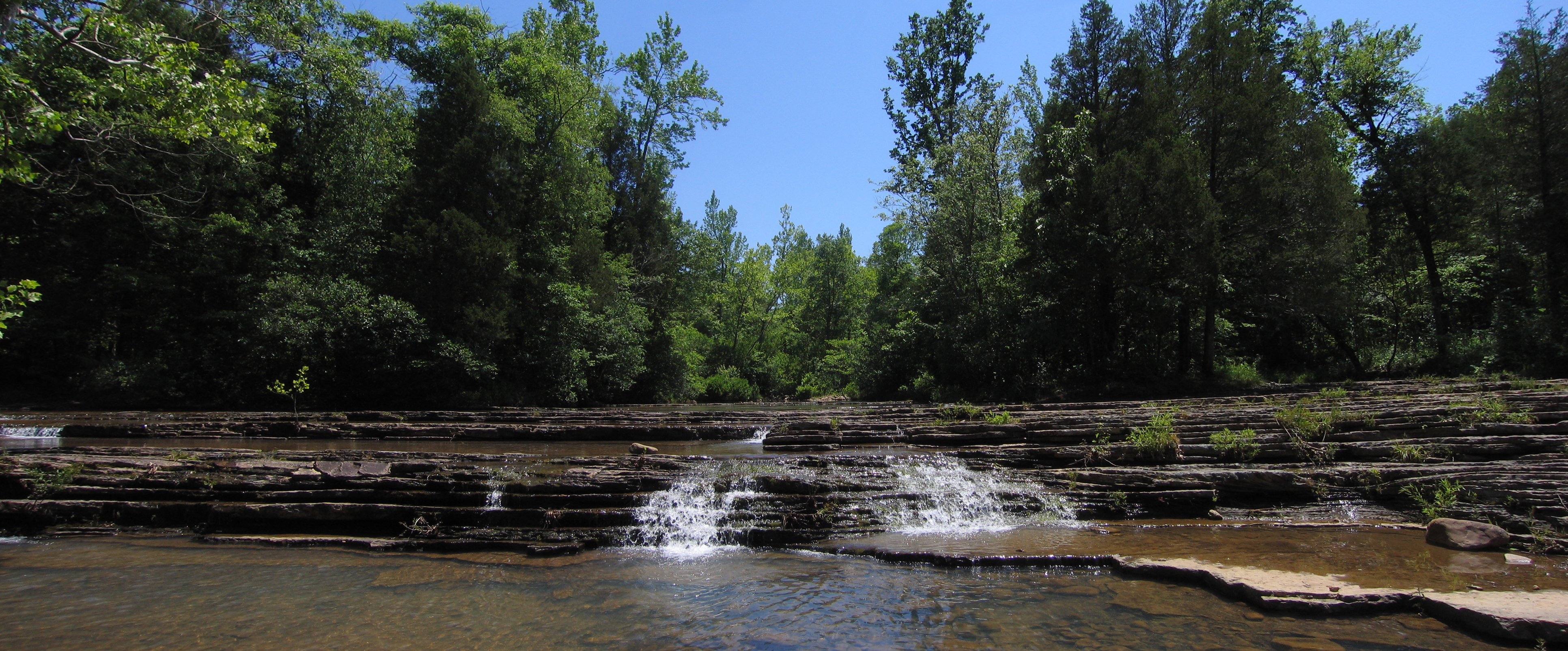
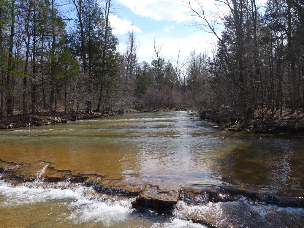
Shoals creek
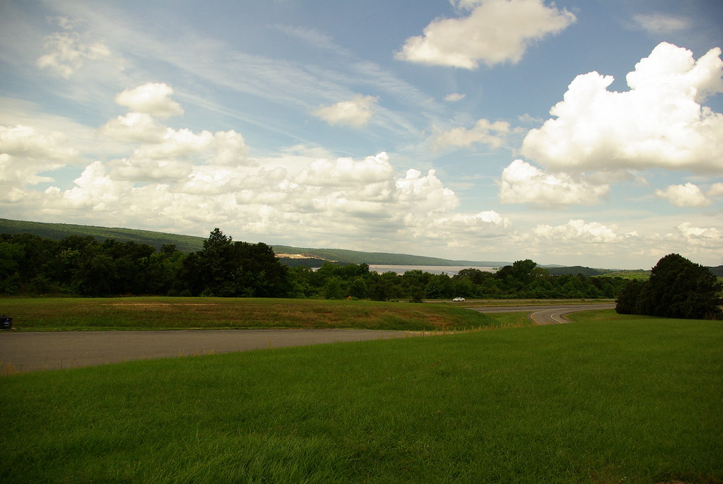
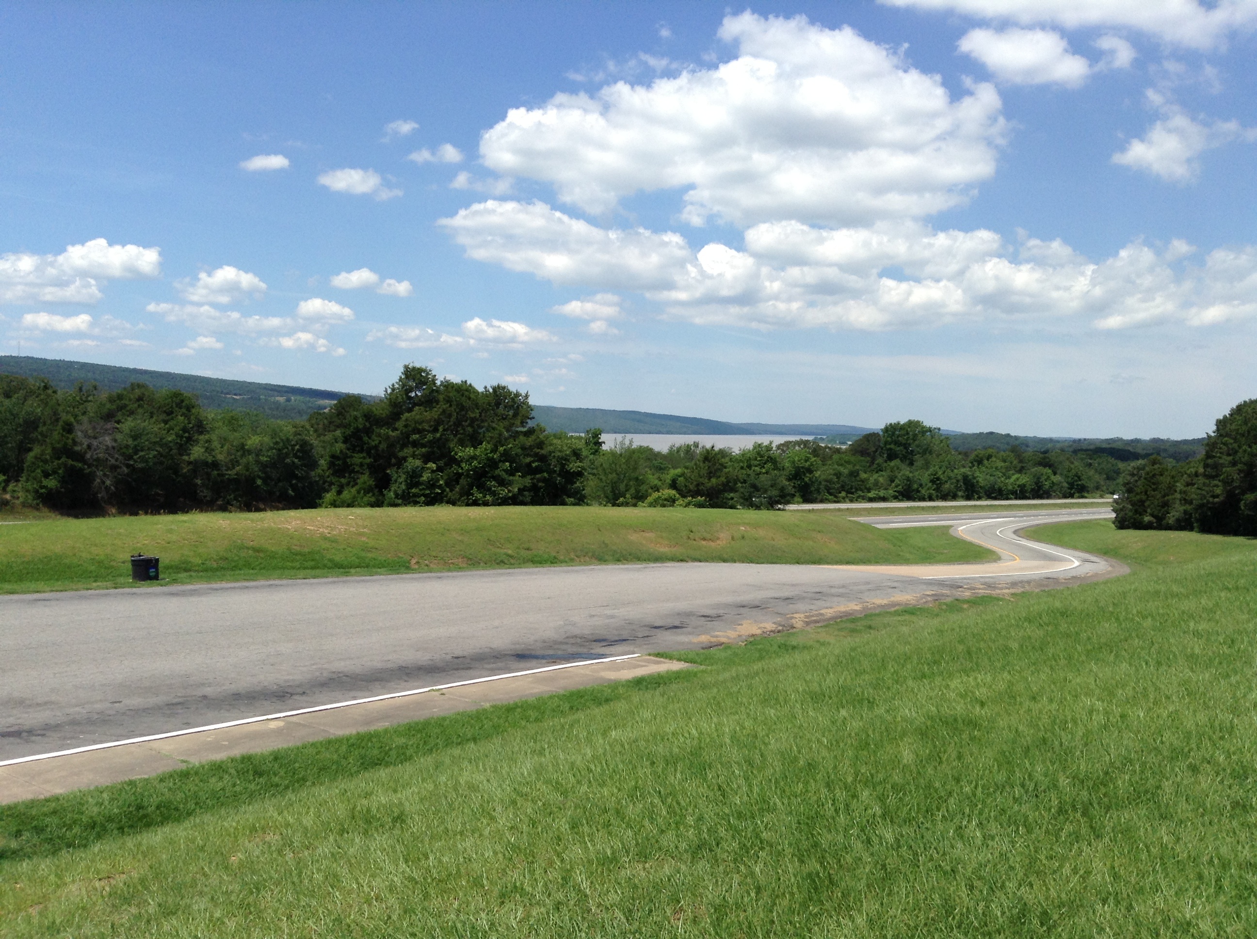
I-40 Scenic Overlook Arkansas on a clear Summer Day
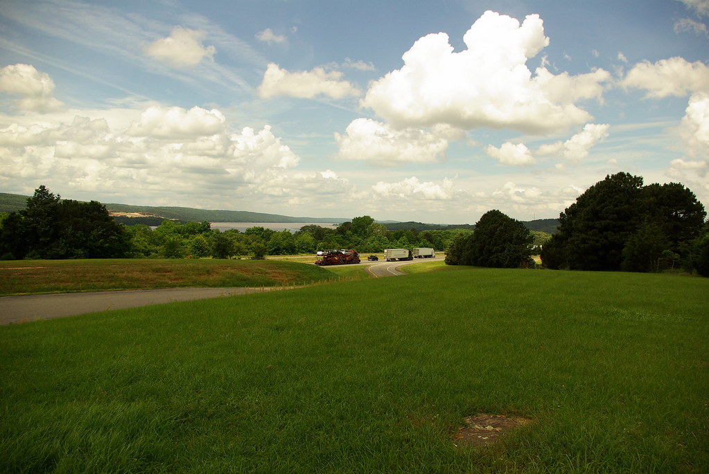
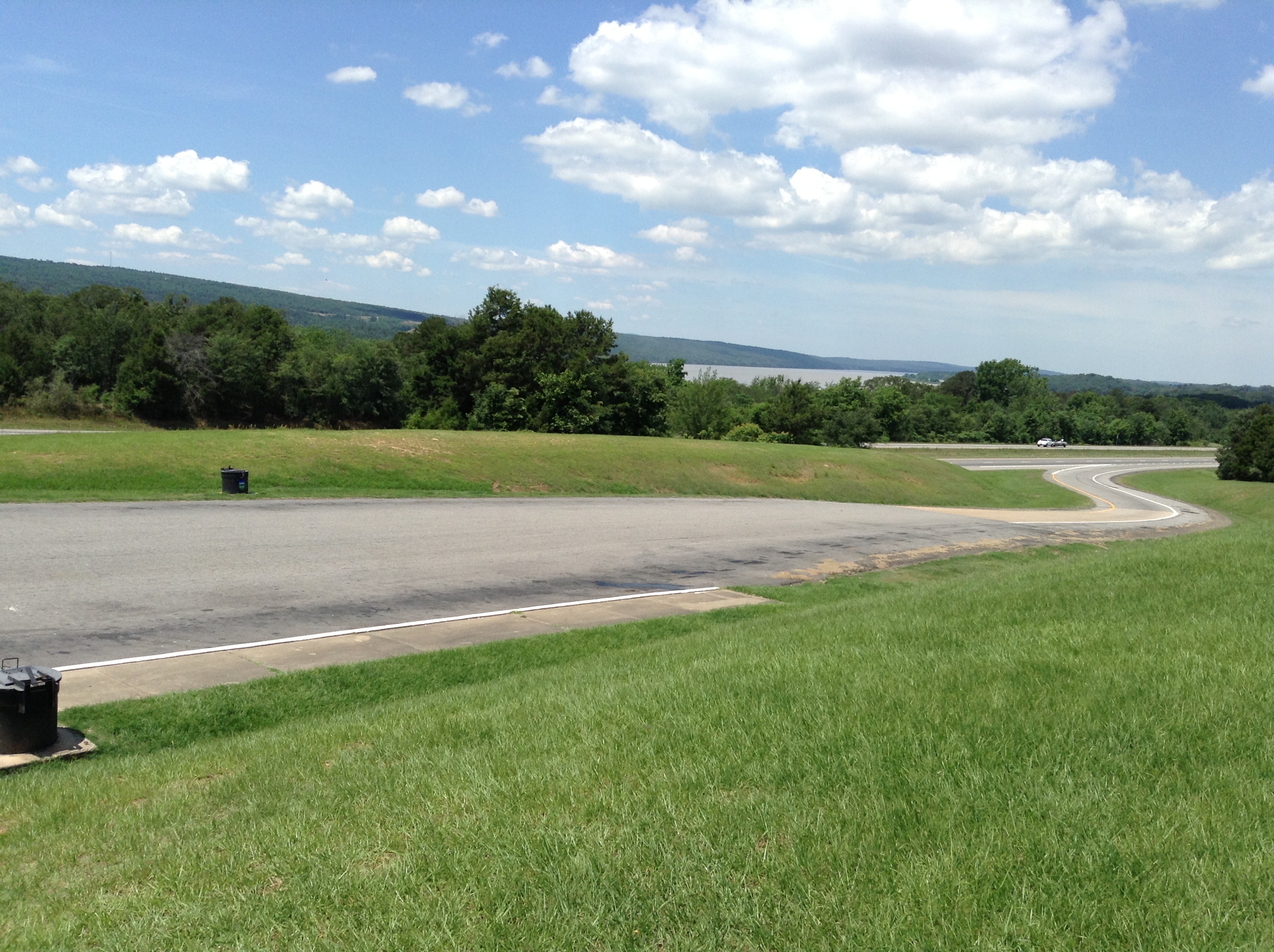
I-40 Scenic Overlook Arkansas on a clear Summer Day
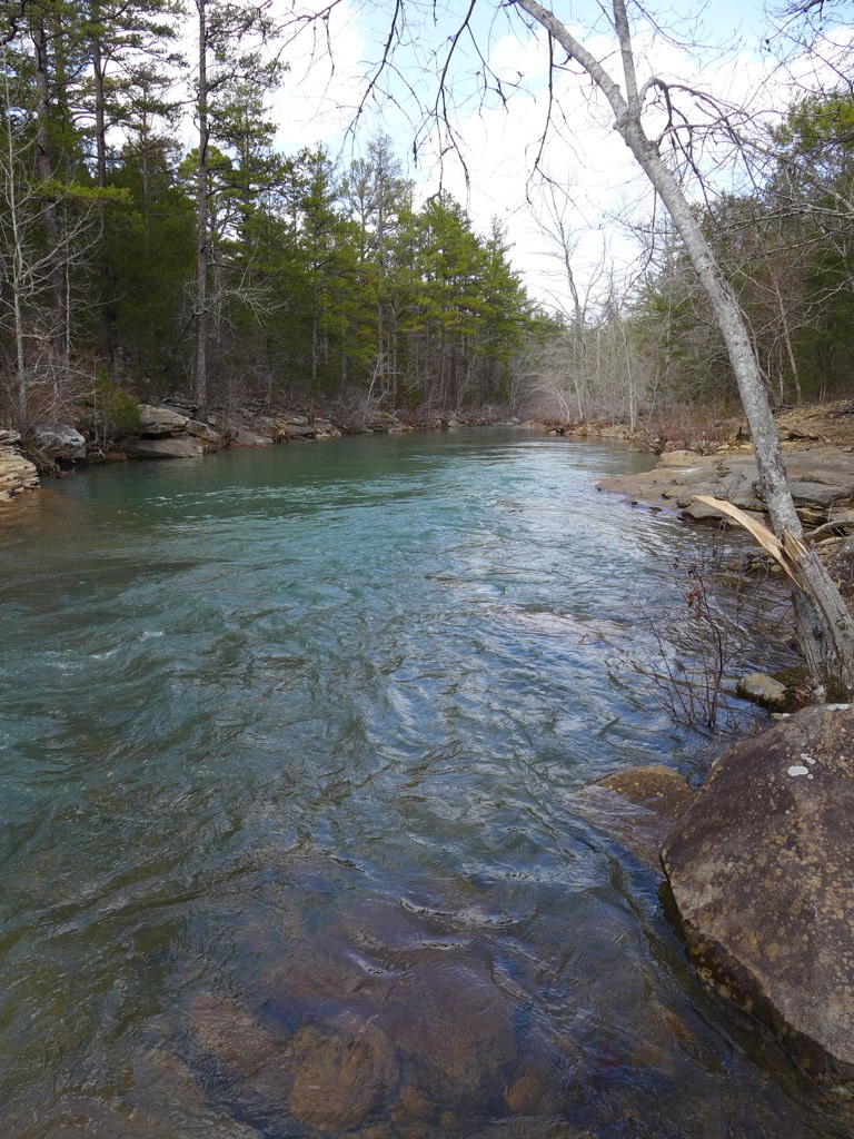
Shoals creek
Mt. Magazine waterfall
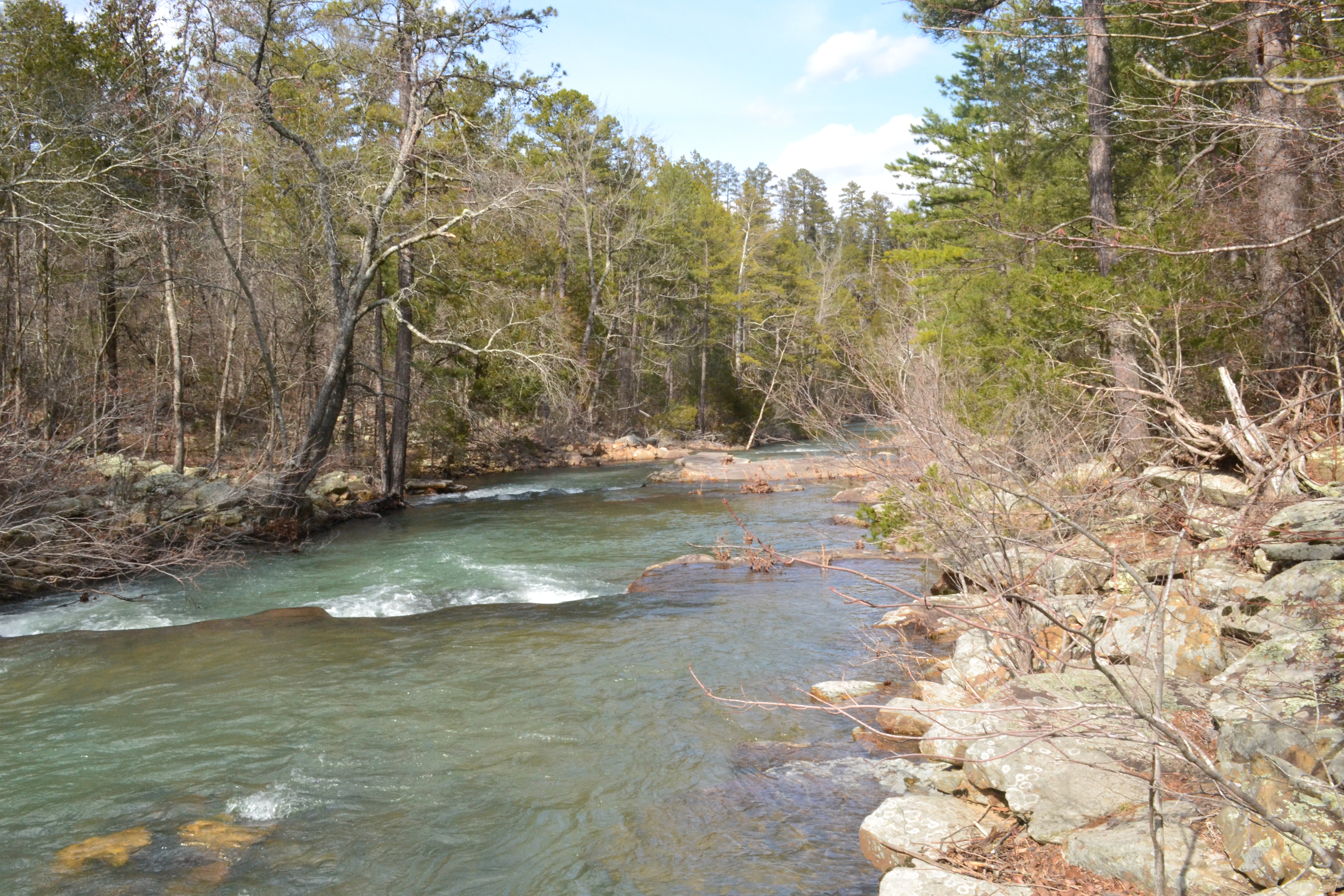
Shoals creek in ozark national forest
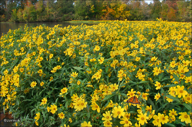
Spot of orange (3765a)
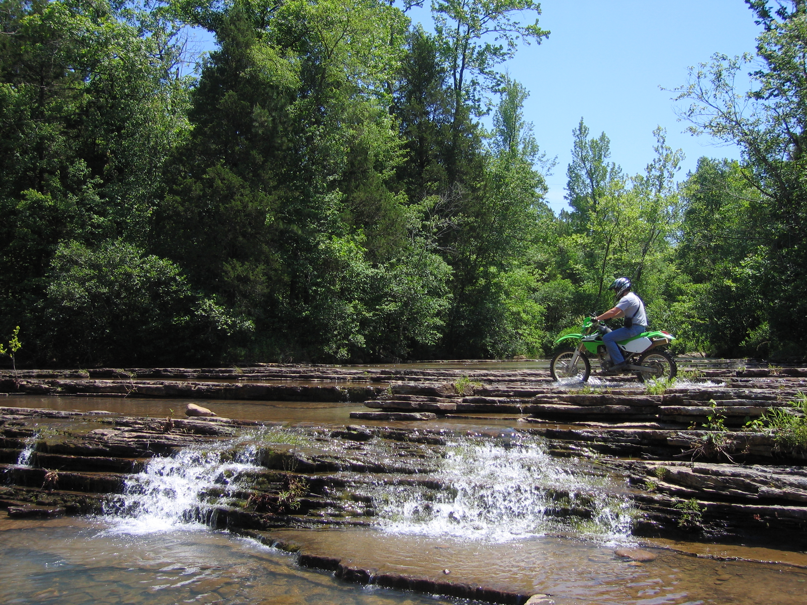
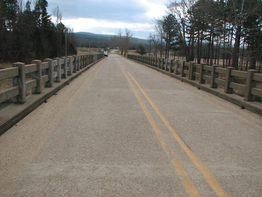
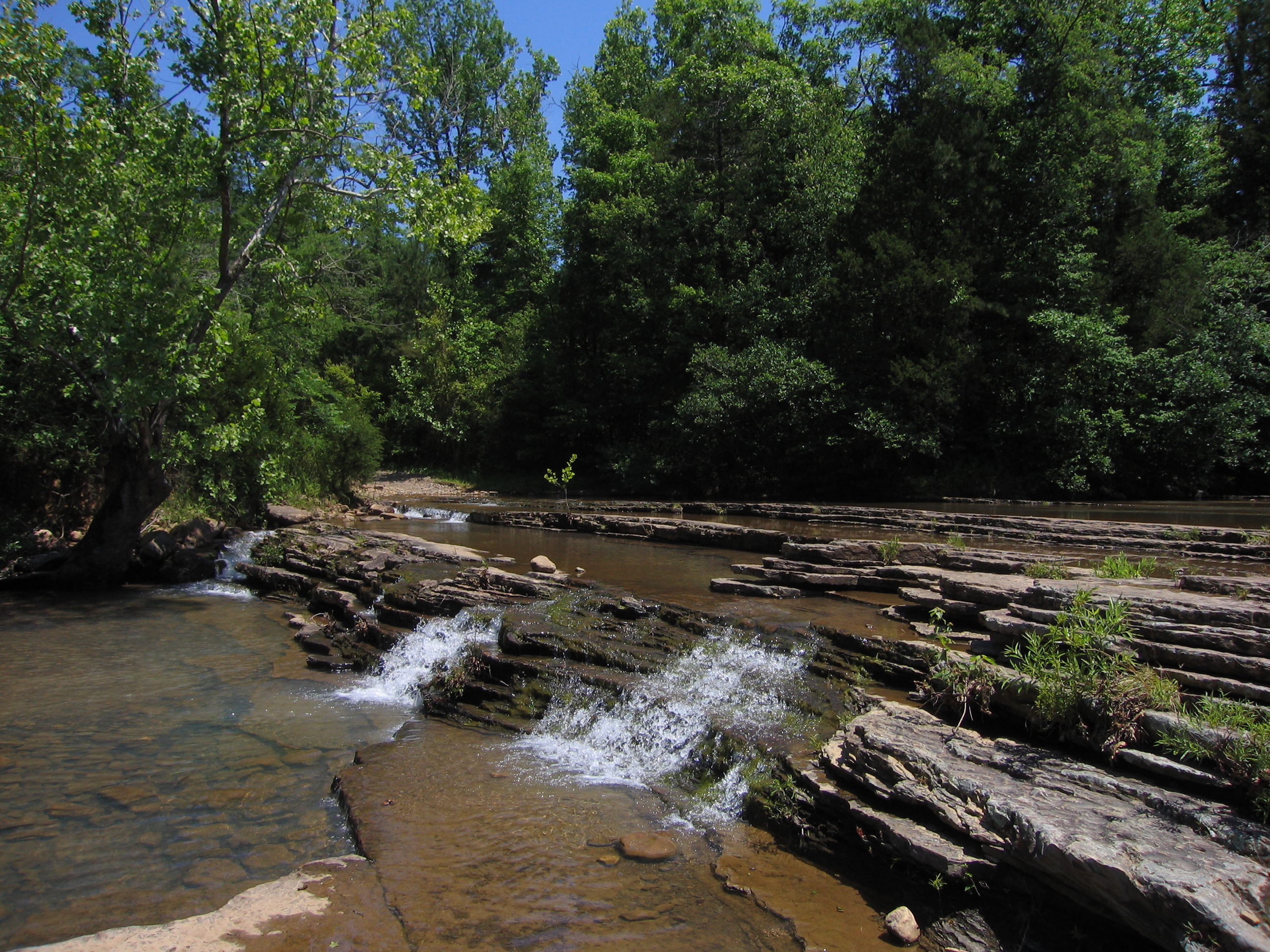
Fording the falls
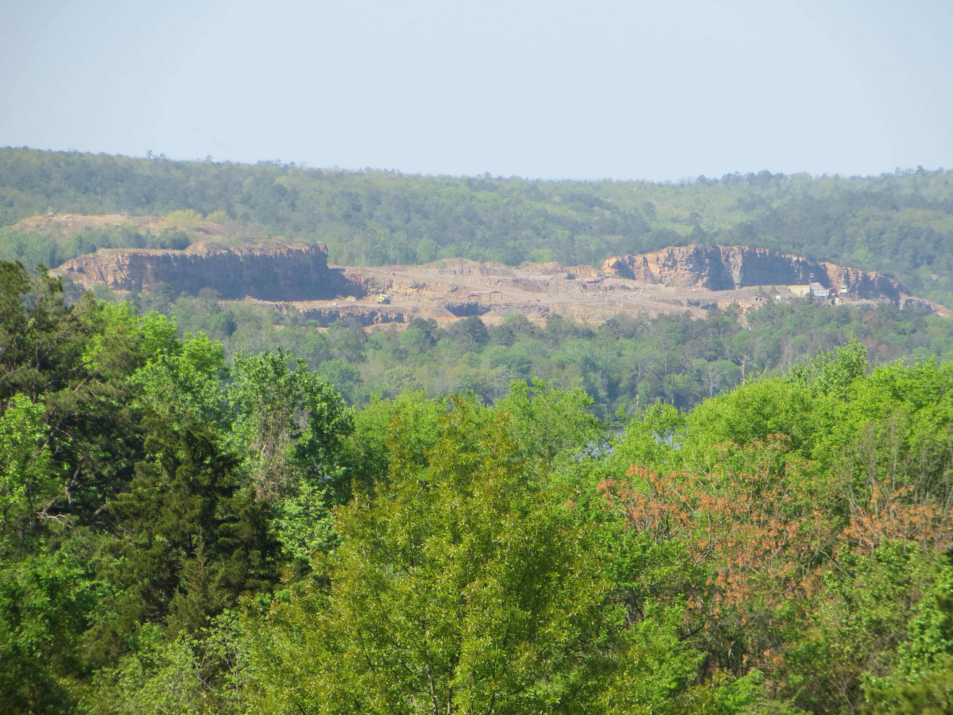
Rock formation across Lake Dardanelle
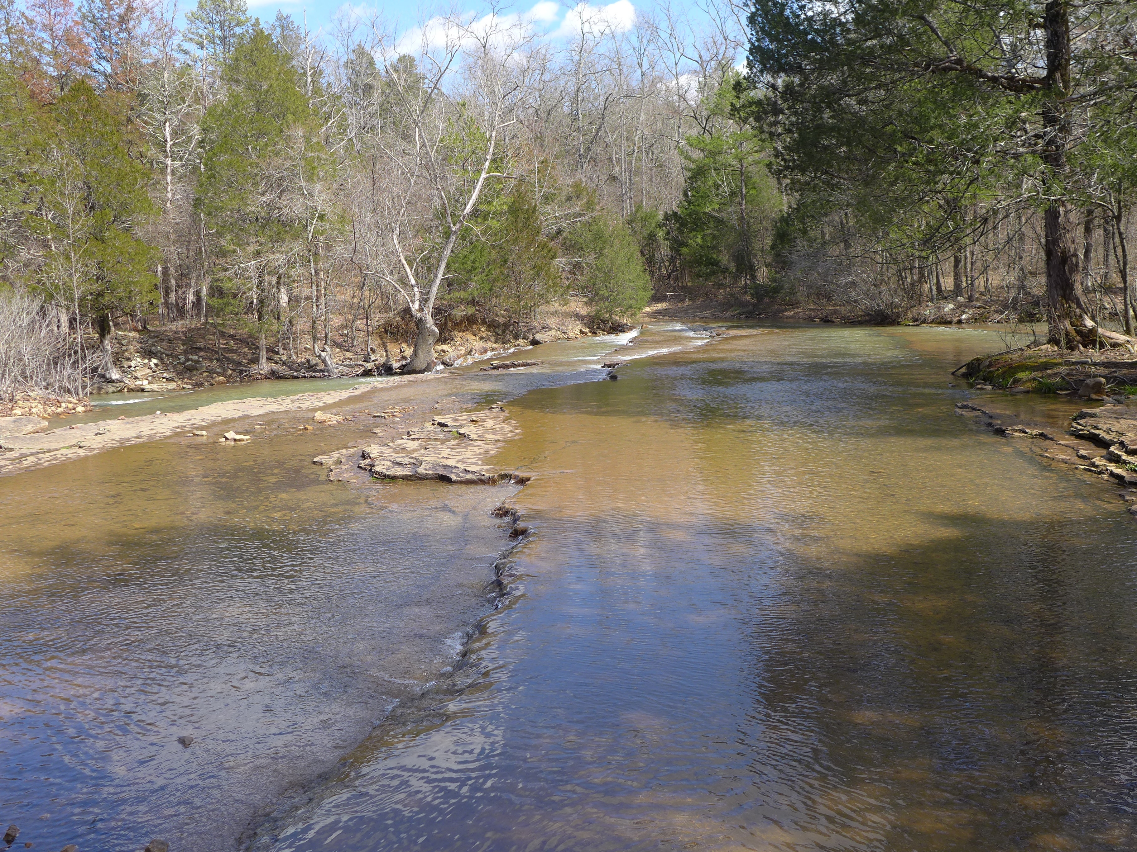
Shoals creek
Shoals creek
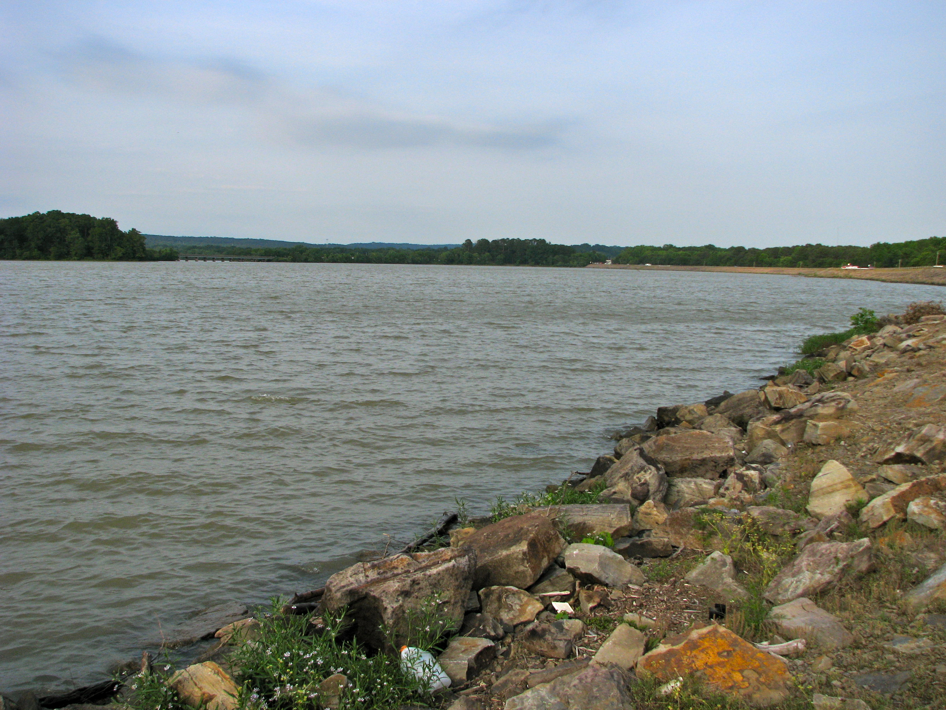
Lake Dardanelle, Arkansas
Lake Dardanelle
Shoals creek
Shoals creek
On the Banks of Lake Dardanelle
Topographic Map of Shoal Creek Township, AR, USA
Find elevation by address:

Places in Shoal Creek Township, AR, USA:
Places near Shoal Creek Township, AR, USA:
New Blaine
Thompson Bay Rd, New Blaine, AR, USA
Cane Creek Township
Delaware, AR, USA
AR-22, Subiaco, AR, USA
AR-, Scranton, AR, USA
Co Rd, Knoxville, AR, USA
Parks Rd, Scranton, AR, USA
Logan Township
Tokalon Rd, Scranton, AR, USA
Howell Township
422 Rogers Landing Loop
Delaware Township
Scranton
AR-, Scranton, AR, USA
Knoxville
312 E Circle Dr
Delaware
1876 Delaware Bay Rd
Co Rd, Lamar, AR, USA
Recent Searches:
- Elevation of Chesaw Rd, Oroville, WA, USA
- Elevation of N, Mt Pleasant, UT, USA
- Elevation of 6 Rue Jules Ferry, Beausoleil, France
- Elevation of Sattva Horizon, 4JC6+G9P, Vinayak Nagar, Kattigenahalli, Bengaluru, Karnataka, India
- Elevation of Great Brook Sports, Gold Star Hwy, Groton, CT, USA
- Elevation of 10 Mountain Laurels Dr, Nashua, NH, USA
- Elevation of 16 Gilboa Ln, Nashua, NH, USA
- Elevation of Laurel Rd, Townsend, TN, USA
- Elevation of 3 Nestling Wood Dr, Long Valley, NJ, USA
- Elevation of Ilungu, Tanzania