Elevation of Shirial, Kohistan, Khyber Pakhtunkhwa, Pakistan
Location: Pakistan > Khyber Pakhtunkhwa > Kohistan > Palas >
Longitude: 73.0788957
Latitude: 35.0005164
Elevation: 1960m / 6430feet
Barometric Pressure: 80KPa
Elevation Map:
Satellite Map:
Related Photos:
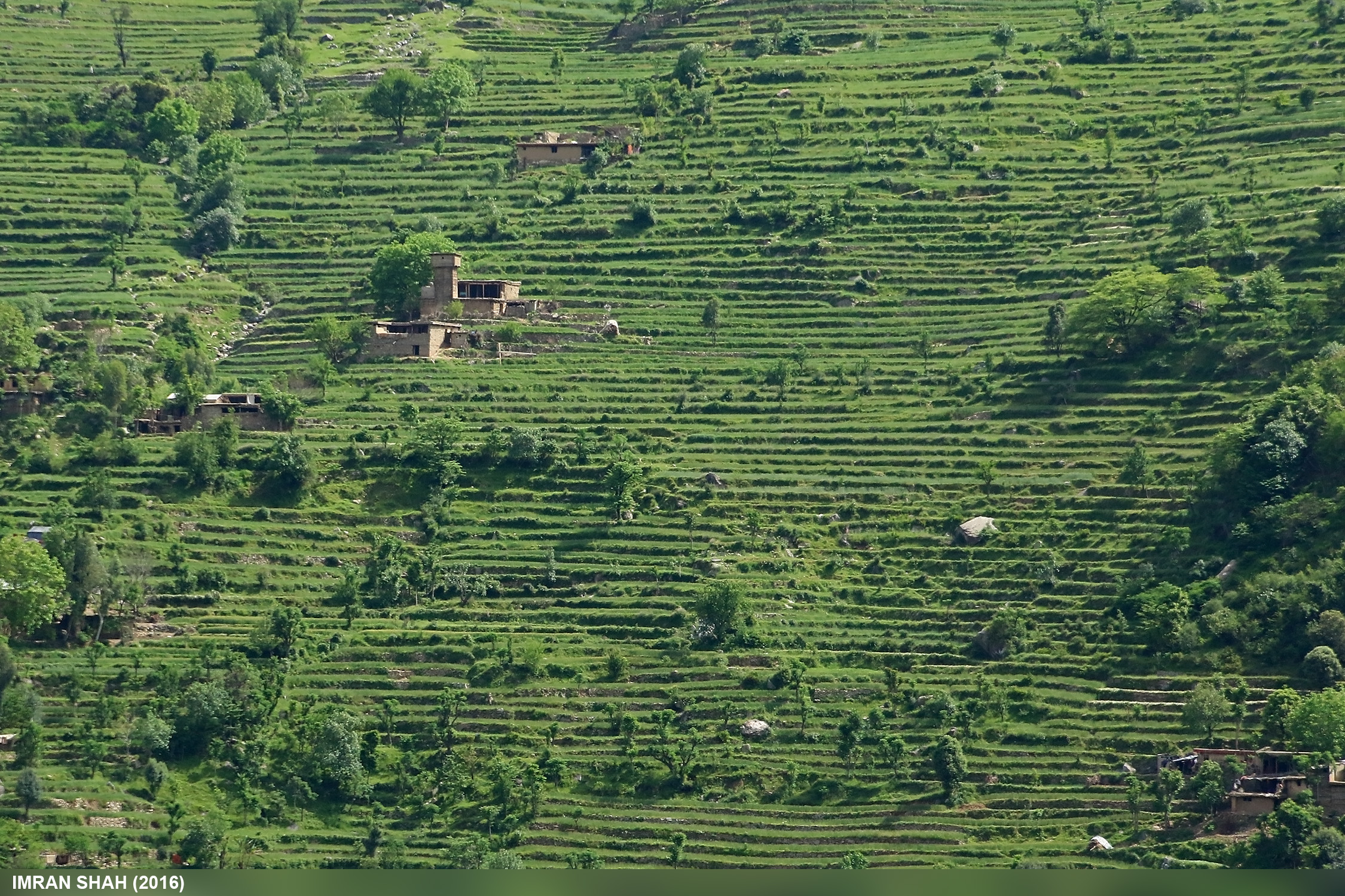
Field of Kohistan

Near Besham

A Settlement in Kohistan
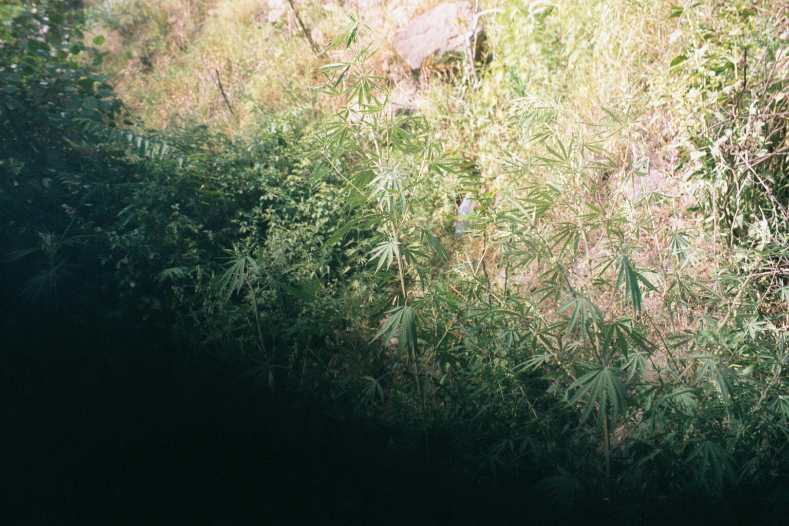
Roadside Weeds

men and lands - 48
Topographic Map of Shirial, Kohistan, Khyber Pakhtunkhwa, Pakistan
Find elevation by address:

Places near Shirial, Kohistan, Khyber Pakhtunkhwa, Pakistan:
Palas
Banna
Dubair
Allai
Ranolia
Baanw
Shaikhdara
Bhoin
Besham City
Thakot
Pir Sar
Chakisar Road
Batagram
Battagram
Chiksar
Shangla District
Chakisar
Alpuri
Shangla
Tor Ghar
Recent Searches:
- Elevation of Redondo Ave, Long Beach, CA, USA
- Elevation of Sadovaya Ulitsa, 20, Rezh, Sverdlovskaya oblast', Russia
- Elevation of Ulitsa Kalinina, 79, Rezh, Sverdlovskaya oblast', Russia
- Elevation of 72-31 Metropolitan Ave, Middle Village, NY, USA
- Elevation of 76 Metropolitan Ave, Brooklyn, NY, USA
- Elevation of Alisal Rd, Solvang, CA, USA
- Elevation of Vista Blvd, Sparks, NV, USA
- Elevation of 15th Ave SE, St. Petersburg, FL, USA
- Elevation of Beall Road, Beall Rd, Florida, USA
- Elevation of Leguwa, Nepal