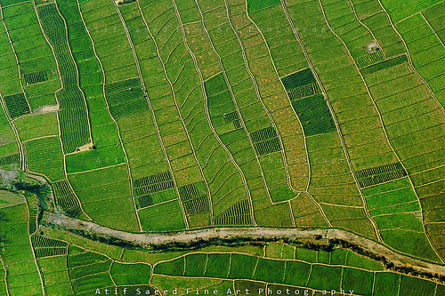
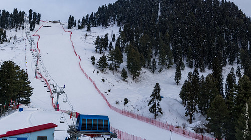
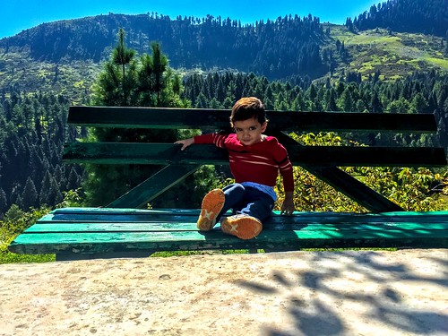
Elevation of Shangla, Khyber Pakhtunkhwa, Pakistan
Location: Pakistan > Khyber Pakhtunkhwa > Shangla District > Alpuri >
Longitude: 72.6003326
Latitude: 34.8883334
Elevation: 2019m / 6624feet
Barometric Pressure: 79KPa
Related Photos:
Topographic Map of Shangla, Khyber Pakhtunkhwa, Pakistan
Find elevation by address:

Places near Shangla, Khyber Pakhtunkhwa, Pakistan:
Malam Jabba
Samsons Resort Malam Jabba
Alpuri
University Of Swat
Shingrai
Cadet College Swat
Shangla District
Chakisar Road
Chiksar
Chakisar
Ningolai Village
Ningolai Village
Swat View Hotel
Jambil Swat Kpk Pakistan
Jambil
Sangar
Pir Sar
Babuzai
Swat
Kanju
Recent Searches:
- Elevation of Elwyn Dr, Roanoke Rapids, NC, USA
- Elevation of Congressional Dr, Stevensville, MD, USA
- Elevation of Bellview Rd, McLean, VA, USA
- Elevation of Stage Island Rd, Chatham, MA, USA
- Elevation of Shibuya Scramble Crossing, 21 Udagawacho, Shibuya City, Tokyo -, Japan
- Elevation of Jadagoniai, Kaunas District Municipality, Lithuania
- Elevation of Pagonija rock, Kranto 7-oji g. 8"N, Kaunas, Lithuania
- Elevation of Co Rd 87, Jamestown, CO, USA
- Elevation of Tenjo, Cundinamarca, Colombia
- Elevation of Côte-des-Neiges, Montreal, QC H4A 3J6, Canada


