Elevation map of Kohistan, Pakistan
Location: Pakistan > Khyber Pakhtunkhwa >
Longitude: 73.2765361
Latitude: 35.2611263
Elevation: 2313m / 7589feet
Barometric Pressure: 76KPa
Elevation Map:
Satellite Map:
Related Photos:

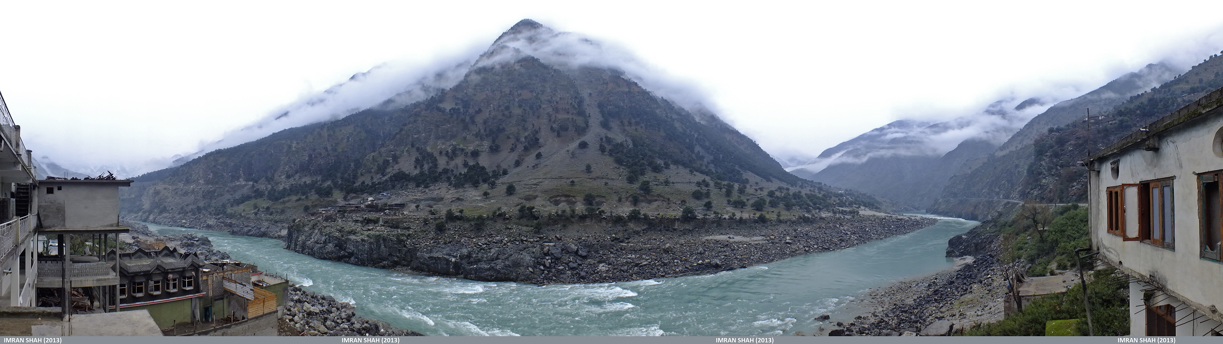
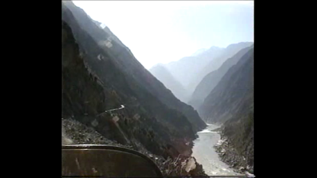
The Indus River from the Karakoram Highway, Pakistan

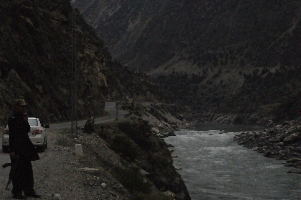
On the Karakoram Highway, Pakistan
Dasu, Kohistan in KPK, Pakistan

Jumbo Heavy Lift & Co, Ltd.

The people of north eastern Kohistan district in KPK province of Pakistan lives in a horrifying poverty. This village lies alongside river Indus near Dasu. Easily caught from KKH, the geography of land suggests the area might once covered by lush alpine f
zwischen 'Chilas' und 'Besham City', Rückweg vom 'Khunjerab Pass' auf 'Karakorum Highway', PAKISTAN_Motorrad-Weltumrundung 1995-96_Auszug Video

Tributary (NWF, Pakistan)
Young Gun (NWF, Pakistan)
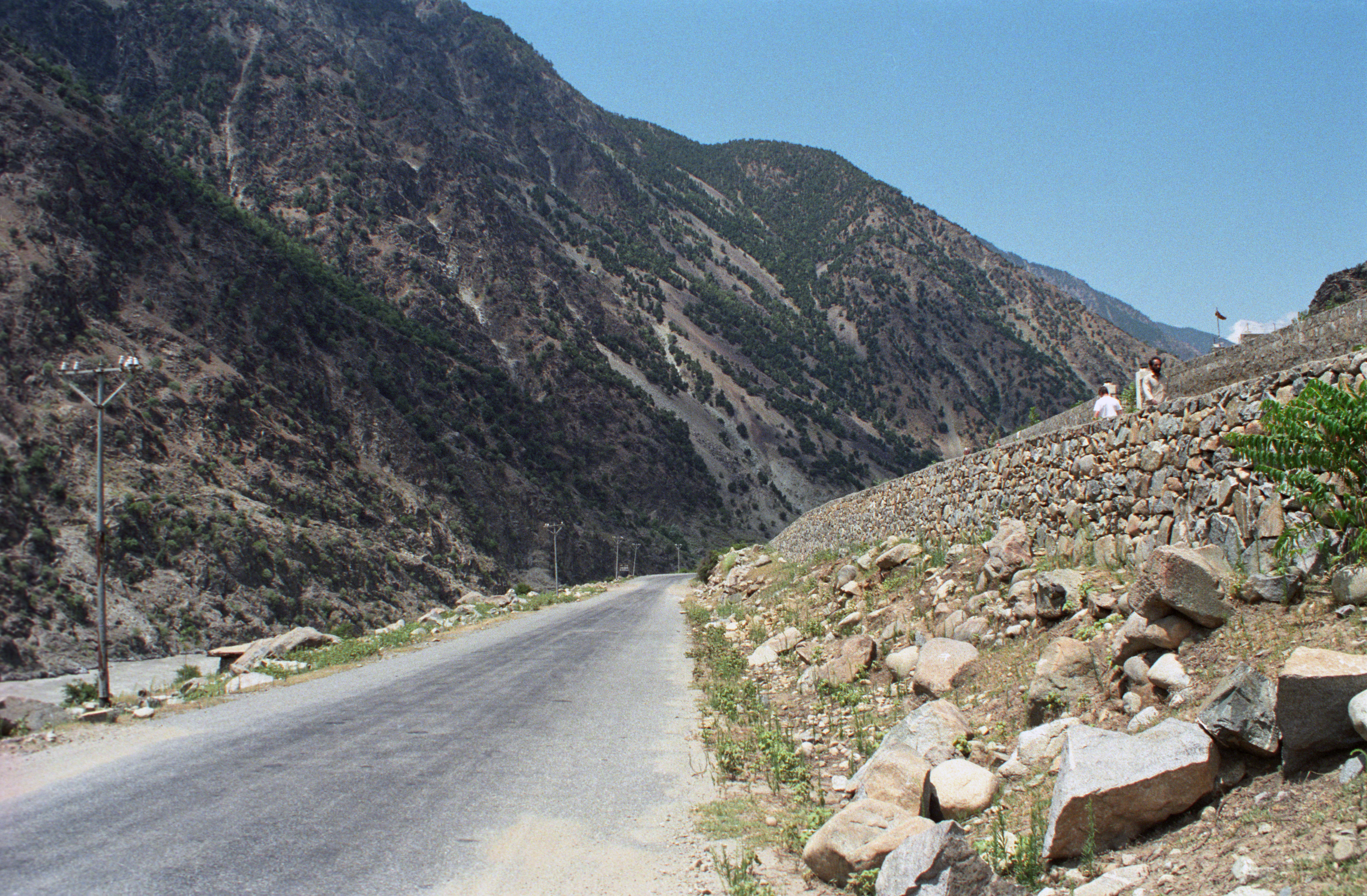
The Karakoram Highway, Pakistan
Topographic Map of Kohistan, Pakistan
Find elevation by address:

Places in Kohistan, Pakistan:
Places near Kohistan, Pakistan:
Dasu
Dassu
Dassu Teshil
Kandia Valley Bridge
Kohistan
Diamir
Babusar
Chilas Airport
Chilās
Gupis
Gilgit River
Ptdc Motel Gupis
Khalti Lake
Ghizar
Gahkuch
Yasin Valley
Sherqilla
Ghizer River
Makuli Yasin Valley
Thowar
Recent Searches:
- Elevation of Jalan Senandin, Lutong, Miri, Sarawak, Malaysia
- Elevation of Bilohirs'k
- Elevation of 30 Oak Lawn Dr, Barkhamsted, CT, USA
- Elevation of Luther Road, Luther Rd, Auburn, CA, USA
- Elevation of Unnamed Road, Respublika Severnaya Osetiya — Alaniya, Russia
- Elevation of Verkhny Fiagdon, North Ossetia–Alania Republic, Russia
- Elevation of F. Viola Hiway, San Rafael, Bulacan, Philippines
- Elevation of Herbage Dr, Gulfport, MS, USA
- Elevation of Lilac Cir, Haldimand, ON N3W 2G9, Canada
- Elevation of Harrod Branch Road, Harrod Branch Rd, Kentucky, USA