Elevation of Shiloh, SC, USA
Location: United States > South Carolina > Sumter County >
Longitude: -80.040906
Latitude: 33.9401594
Elevation: 38m / 125feet
Barometric Pressure: 101KPa
Elevation Map:
Satellite Map:
Related Photos:
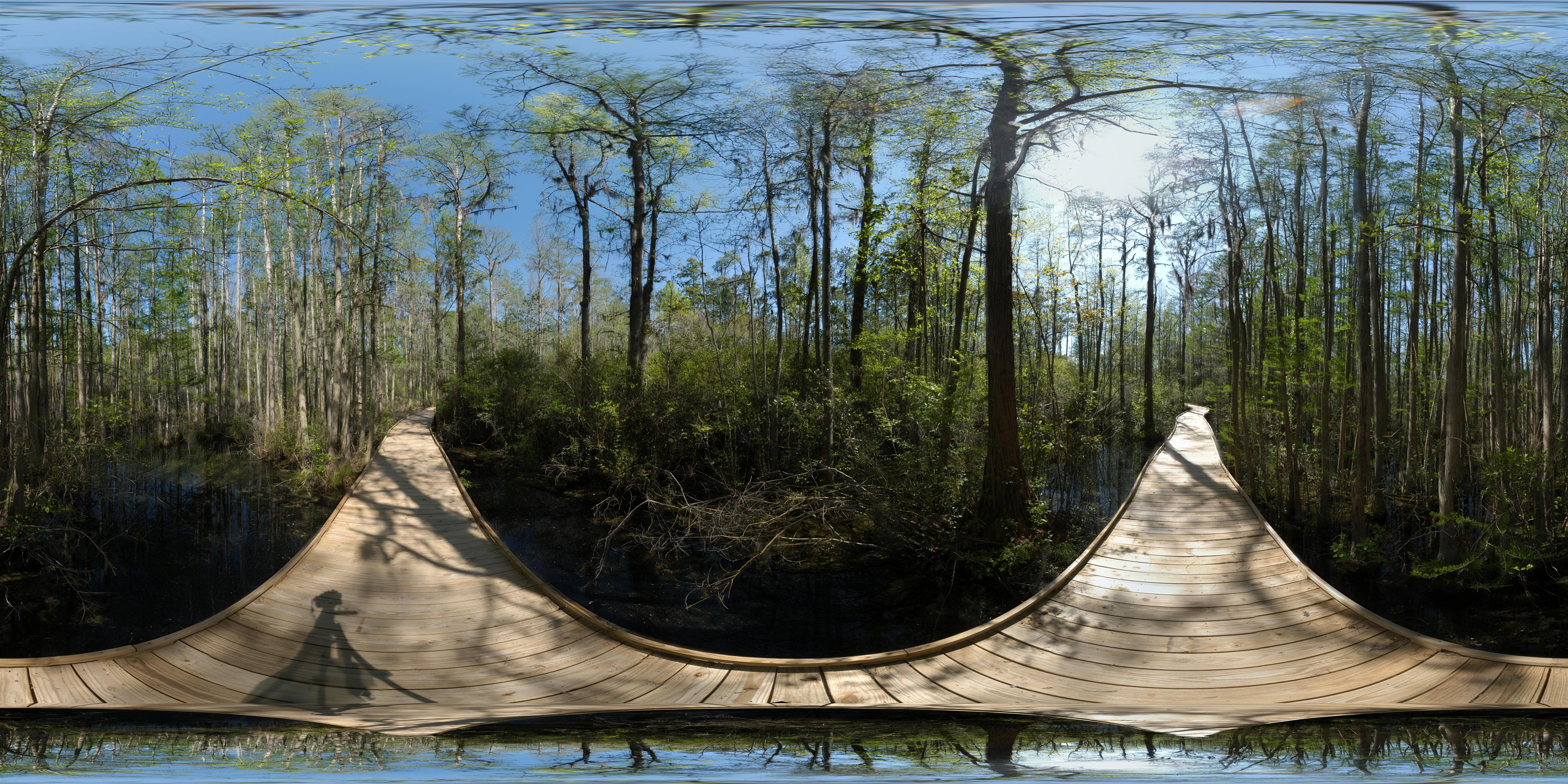
Wood's Bay Heritage Preserve (360° x 180°)

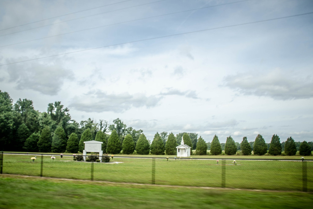
Salem Black River Church

Salem Black River Presbyterian Church
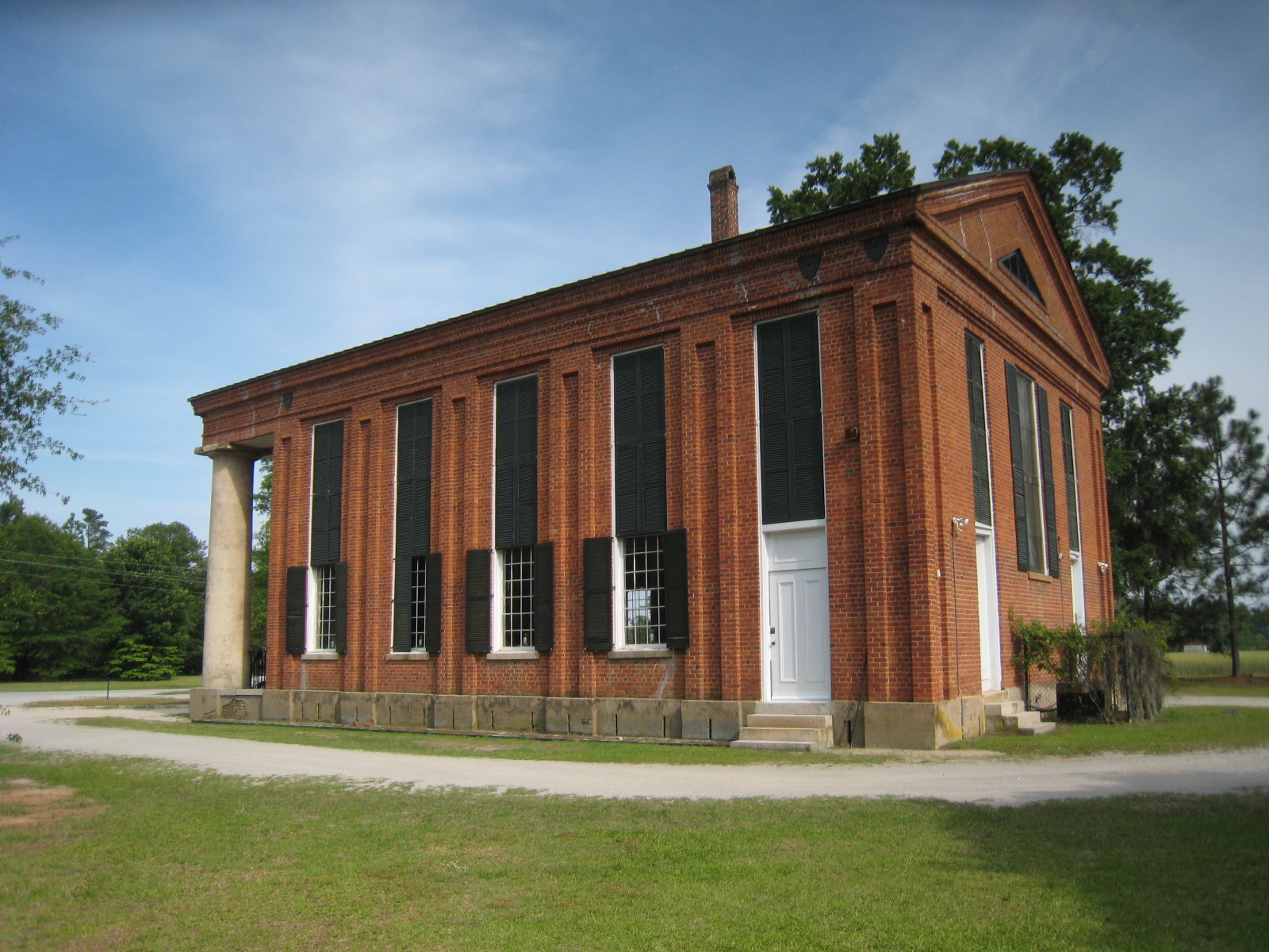
Salem Black River Church
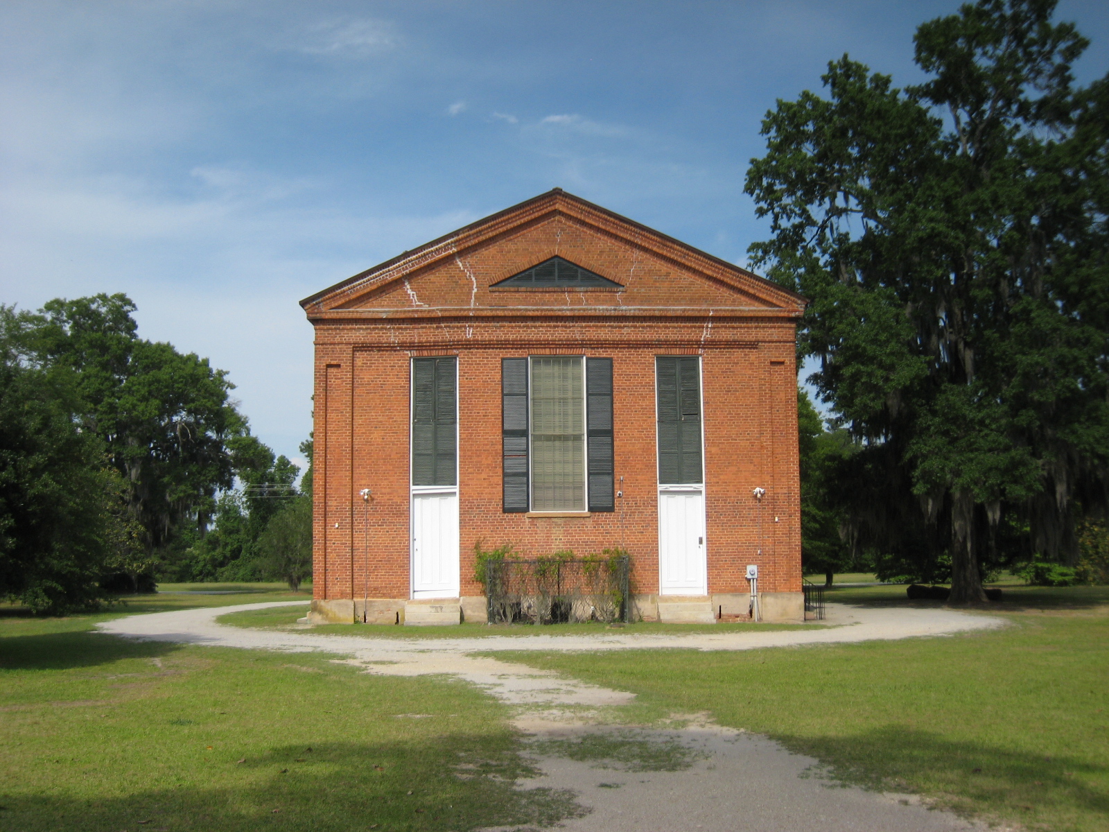
Salem Black River Church

black walnut
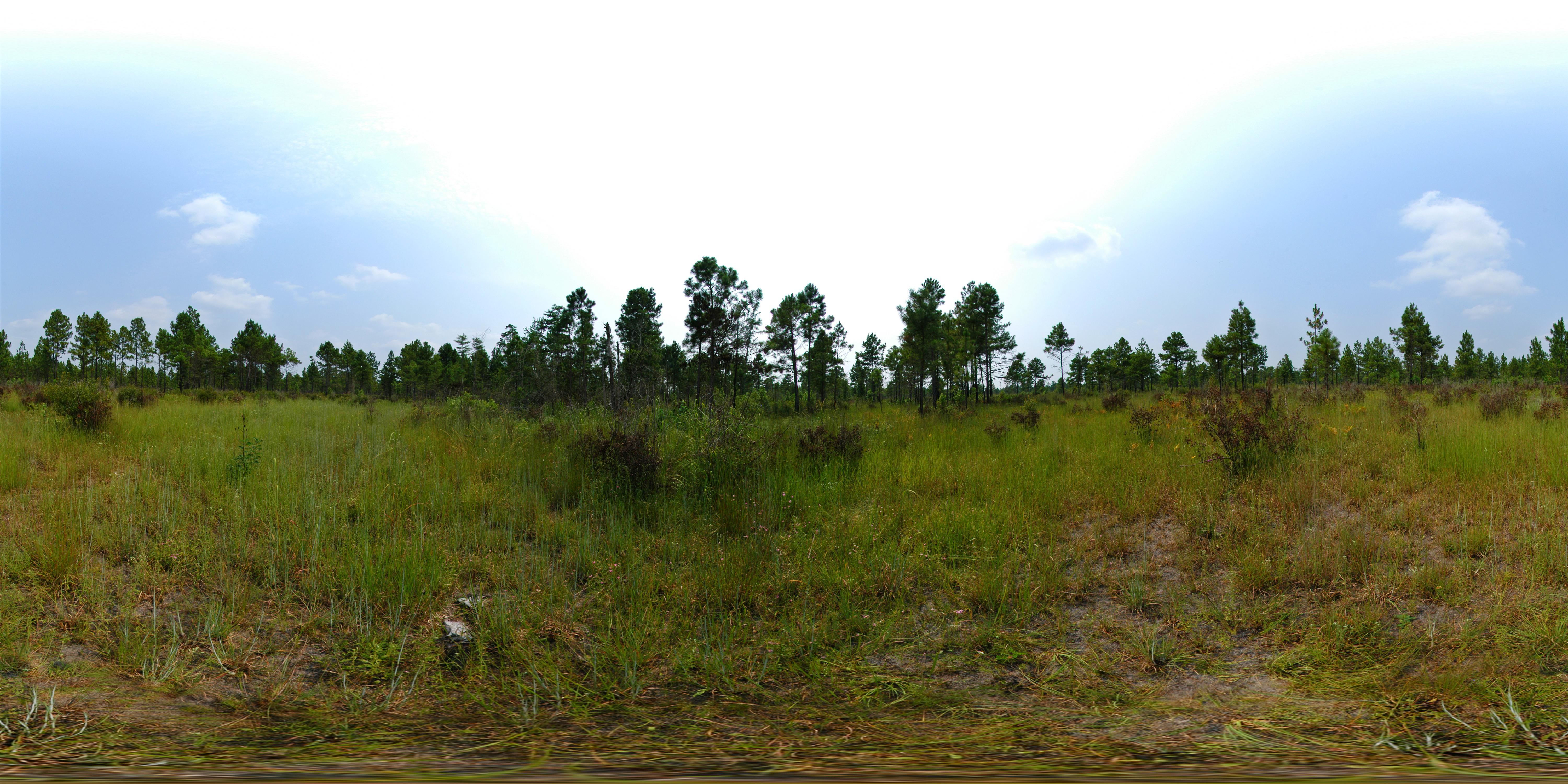
Lynchburg Savanna Heritage Preserve

Salem (Black River) Presbyterian Church
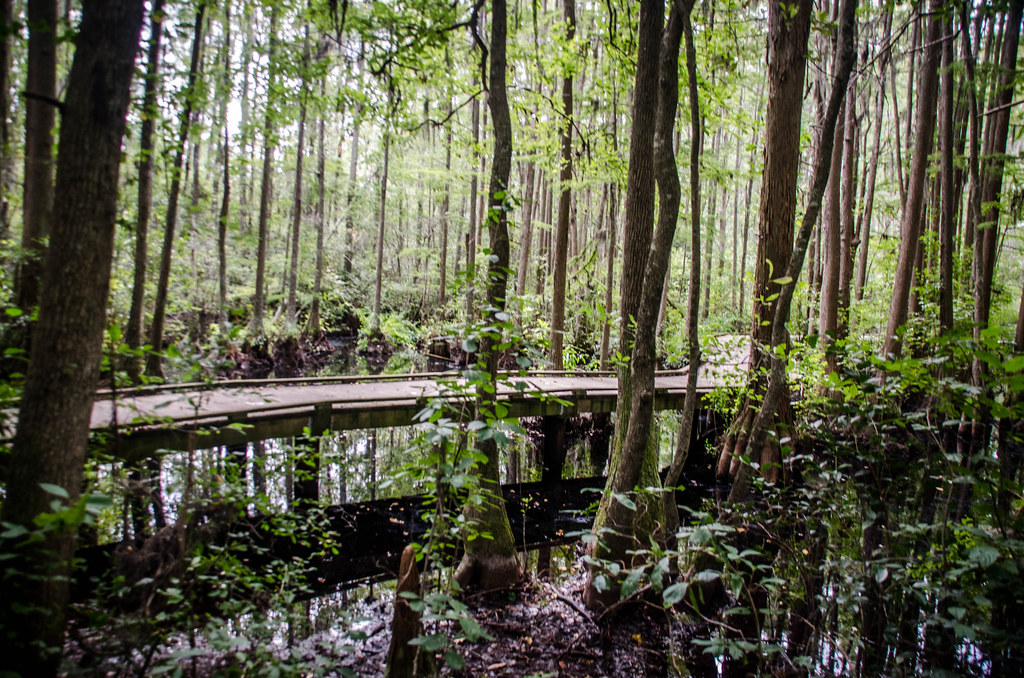
Woods Bay State Park

Helianthus angustifolius (Narrowleaf sunflower)

Woods Bay State Park
Tobaco Trail-159
Tobaco Trail-144
Topographic Map of Shiloh, SC, USA
Find elevation by address:

Places in Shiloh, SC, USA:
Places near Shiloh, SC, USA:
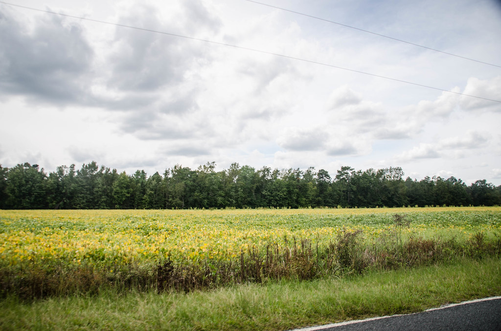
Puddin Swamp Rd, Lynchburg, SC, USA
Mt Zion Rd, Olanta, SC, USA
Olanta
Lynchburg
85 Timmons St
Cartersville
Vista Ln, Lynchburg, SC, USA
North Ham Road
330 E Lynches River Rd
State Rd S-21-53, Timmonsville, SC, USA
206 N Hill St
6003 Langston Rd
Timmonsville
Lamar
1236 W Camp Branch Rd
Windsong Lane
5729 Cade Rd
7043 Fork Rd
Lockwood Dr, Lake City, SC, USA
Oates Hwy, Lamar, SC, USA
Recent Searches:
- Elevation of Congressional Dr, Stevensville, MD, USA
- Elevation of Bellview Rd, McLean, VA, USA
- Elevation of Stage Island Rd, Chatham, MA, USA
- Elevation of Shibuya Scramble Crossing, 21 Udagawacho, Shibuya City, Tokyo -, Japan
- Elevation of Jadagoniai, Kaunas District Municipality, Lithuania
- Elevation of Pagonija rock, Kranto 7-oji g. 8"N, Kaunas, Lithuania
- Elevation of Co Rd 87, Jamestown, CO, USA
- Elevation of Tenjo, Cundinamarca, Colombia
- Elevation of Côte-des-Neiges, Montreal, QC H4A 3J6, Canada
- Elevation of Bobcat Dr, Helena, MT, USA