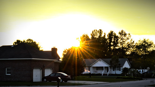
Elevation of North Ham Road, N Ham Rd, South Carolina, USA
Location: United States > South Carolina > Florence County > Timmonsville >
Longitude: -79.972707
Latitude: 34.132729
Elevation: 43m / 141feet
Barometric Pressure: 101KPa
Related Photos:
Topographic Map of North Ham Road, N Ham Rd, South Carolina, USA
Find elevation by address:

Places near North Ham Road, N Ham Rd, South Carolina, USA:
206 N Hill St
Timmonsville
Windsong Lane
1011 Cedarwood Cir
4336 Bedford Ln
Lamar
Oates Hwy, Lamar, SC, USA
28 Manigault Ct, Florence, SC, USA
610 Bronco Rd
601 Bronco Rd
3807 Dover Dr
Guildford Cir, Florence, SC, USA
3810 Pinetree Dr
916 Celtic Ln
330 E Lynches River Rd
2042 Brock Cir
Florence, SC, USA
2925 W Palmetto St
2701 David H Mcleod Blvd
2756 State Rd S-21-1528
Recent Searches:
- Elevation of Elwyn Dr, Roanoke Rapids, NC, USA
- Elevation of Congressional Dr, Stevensville, MD, USA
- Elevation of Bellview Rd, McLean, VA, USA
- Elevation of Stage Island Rd, Chatham, MA, USA
- Elevation of Shibuya Scramble Crossing, 21 Udagawacho, Shibuya City, Tokyo -, Japan
- Elevation of Jadagoniai, Kaunas District Municipality, Lithuania
- Elevation of Pagonija rock, Kranto 7-oji g. 8"N, Kaunas, Lithuania
- Elevation of Co Rd 87, Jamestown, CO, USA
- Elevation of Tenjo, Cundinamarca, Colombia
- Elevation of Côte-des-Neiges, Montreal, QC H4A 3J6, Canada


