Elevation of Brock Cir, Florence, SC, USA
Location: United States > South Carolina > Florence County > Florence >
Longitude: -79.838612
Latitude: 34.151061
Elevation: 38m / 125feet
Barometric Pressure: 101KPa
Elevation Map:
Satellite Map:
Related Photos:

Sky View Drive-In Restaurant
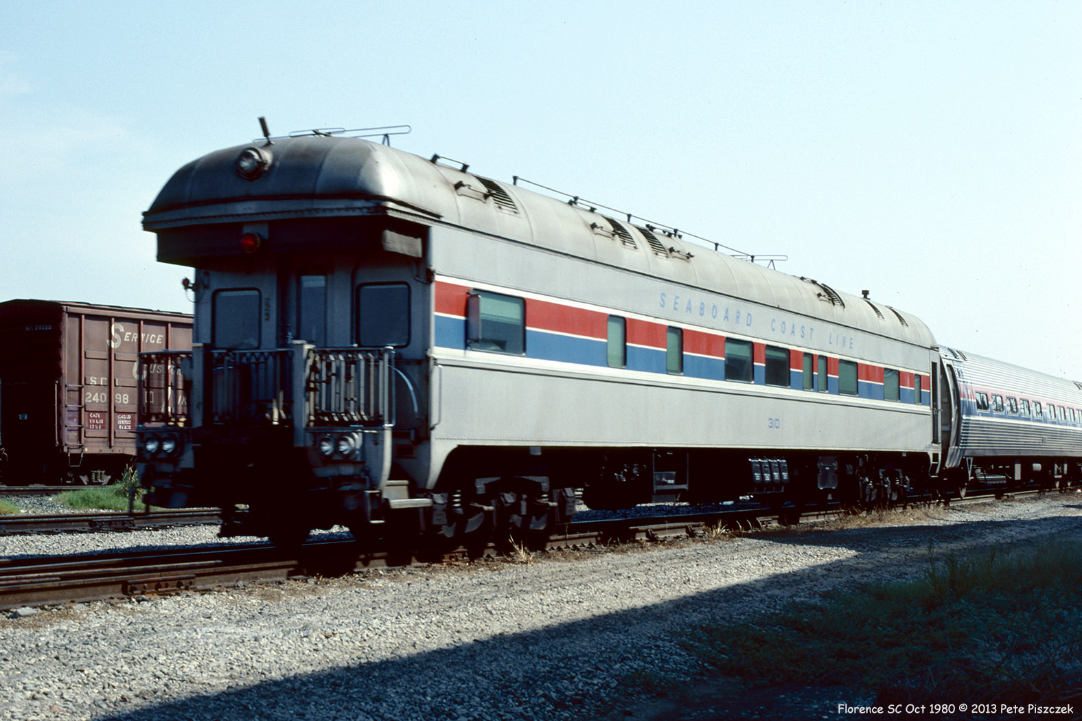
SCL 310 Amtrak Florence SC Oct 1980
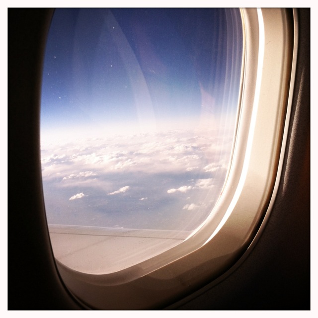
East coast from 35,000 feet

Drying Roses
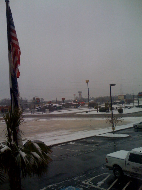
view from hotel in Florence SC

front view
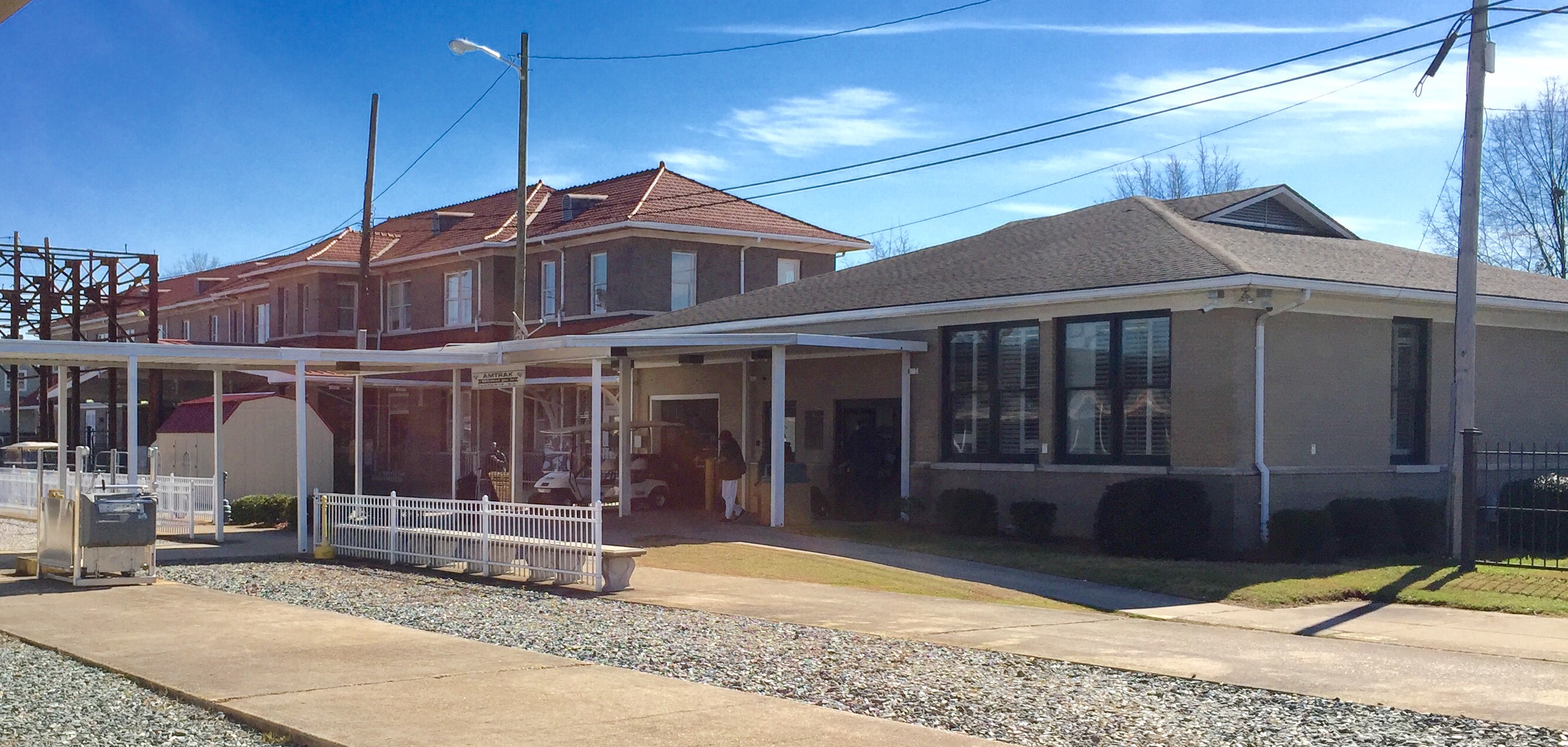
Florence SC: Amtrak Station

Sky View Restaurant Ghost Neon Sign 1 Florence SC
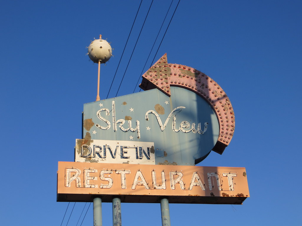
Sky View Restaurant Ghost Neon Sign 2 Florence SC
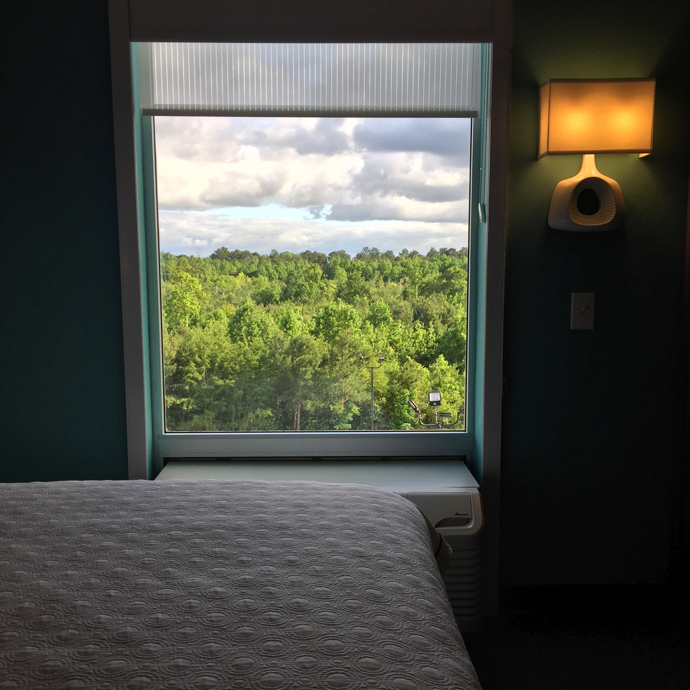
view from Home2Suites

tasty lunch
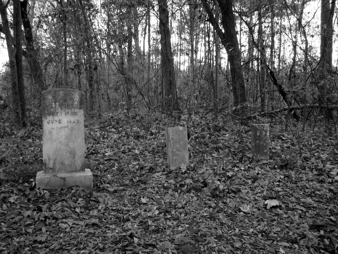
Forgotten stones
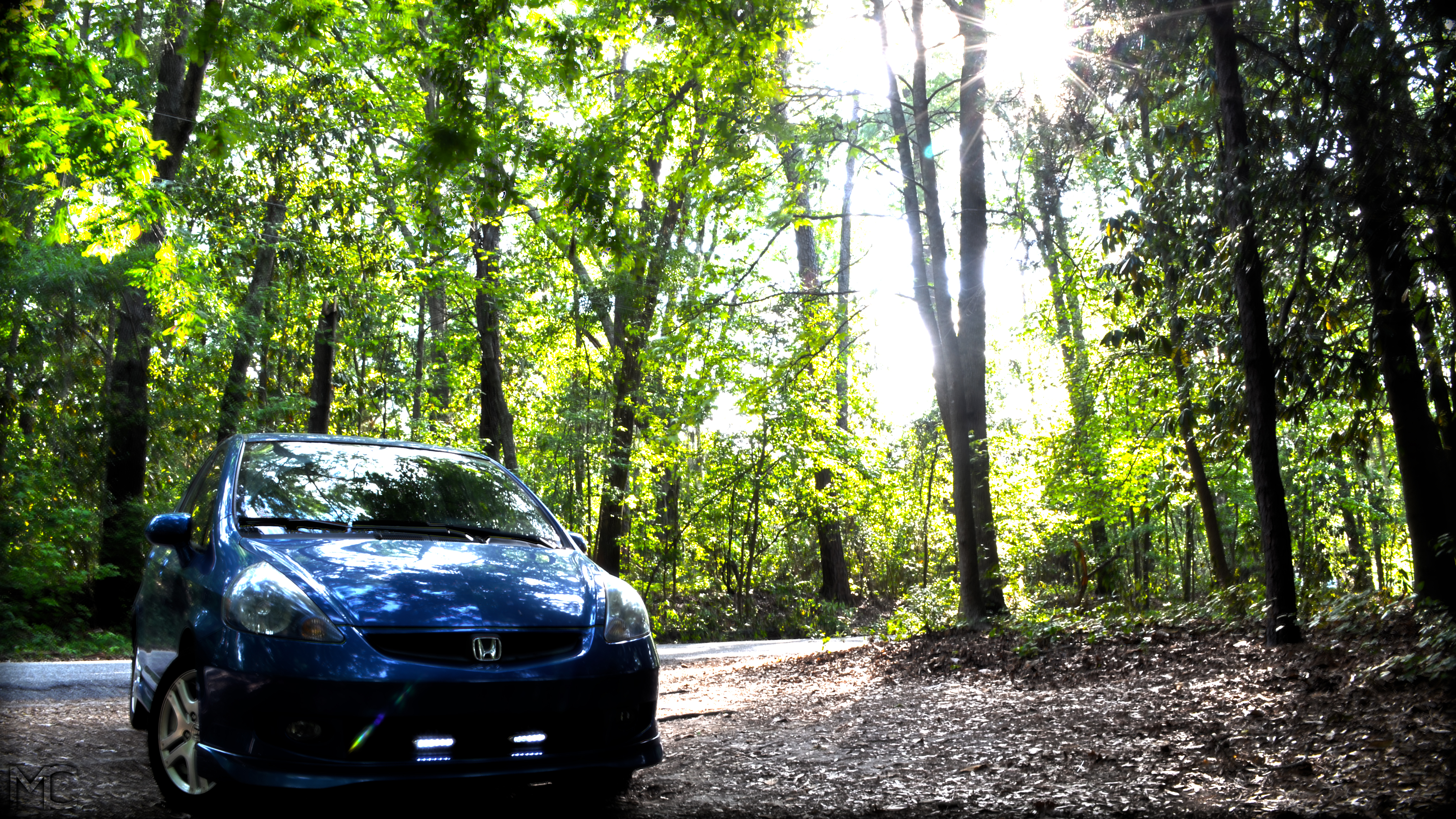
Honda Fit [HDR]

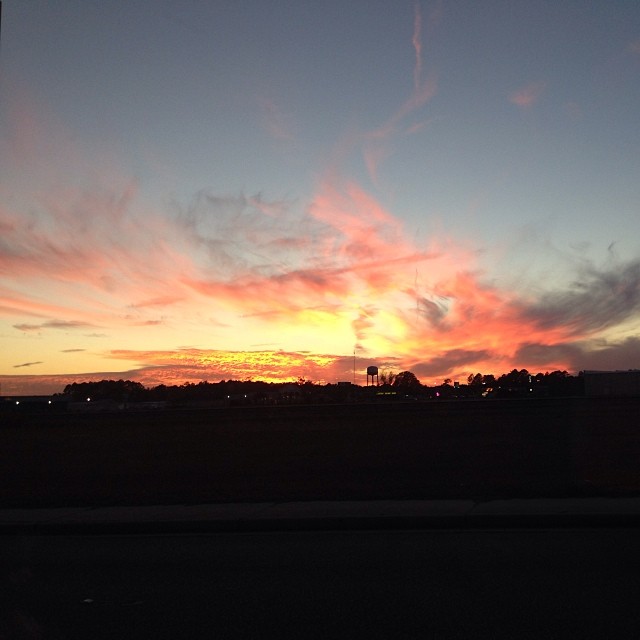
Sunset in Florence, SC
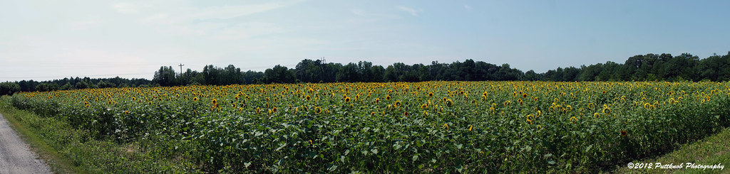
The Sunflower Field
Anyone else see this?
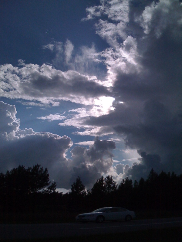
Sunset [HDR]
Thunderbird Dr & W Lema Dr, , SC 29501, United States
Topographic Map of Brock Cir, Florence, SC, USA
Find elevation by address:

Places near Brock Cir, Florence, SC, USA:
2925 W Palmetto St
1320 Millbank Dr
1320 Millbank Dr
1320 Millbank Dr
1320 Millbank Dr
2756 State Rd S-21-1528
S Point Rd, Effingham, SC, USA
2701 David H Mcleod Blvd
2701 David H Mcleod Blvd
Guildford Cir, Florence, SC, USA
610 Bronco Rd
601 Bronco Rd
Florence, SC, USA
28 Manigault Ct, Florence, SC, USA
Hoffmeyer Rd, Florence, SC, USA
1011 Cedarwood Cir
3807 Dover Dr
4336 Bedford Ln
3810 Pinetree Dr
S Main St, Florence, SC, USA
Recent Searches:
- Elevation of W Granada St, Tampa, FL, USA
- Elevation of Pykes Down, Ivybridge PL21 0BY, UK
- Elevation of Jalan Senandin, Lutong, Miri, Sarawak, Malaysia
- Elevation of Bilohirs'k
- Elevation of 30 Oak Lawn Dr, Barkhamsted, CT, USA
- Elevation of Luther Road, Luther Rd, Auburn, CA, USA
- Elevation of Unnamed Road, Respublika Severnaya Osetiya — Alaniya, Russia
- Elevation of Verkhny Fiagdon, North Ossetia–Alania Republic, Russia
- Elevation of F. Viola Hiway, San Rafael, Bulacan, Philippines
- Elevation of Herbage Dr, Gulfport, MS, USA