Elevation of Langston Rd, Timmonsville, SC, USA
Location: United States > South Carolina > Florence County > Timmonsville >
Longitude: -79.859924
Latitude: 34.056545
Elevation: 34m / 112feet
Barometric Pressure: 101KPa
Elevation Map:
Satellite Map:
Related Photos:

Sky View Drive-In Restaurant
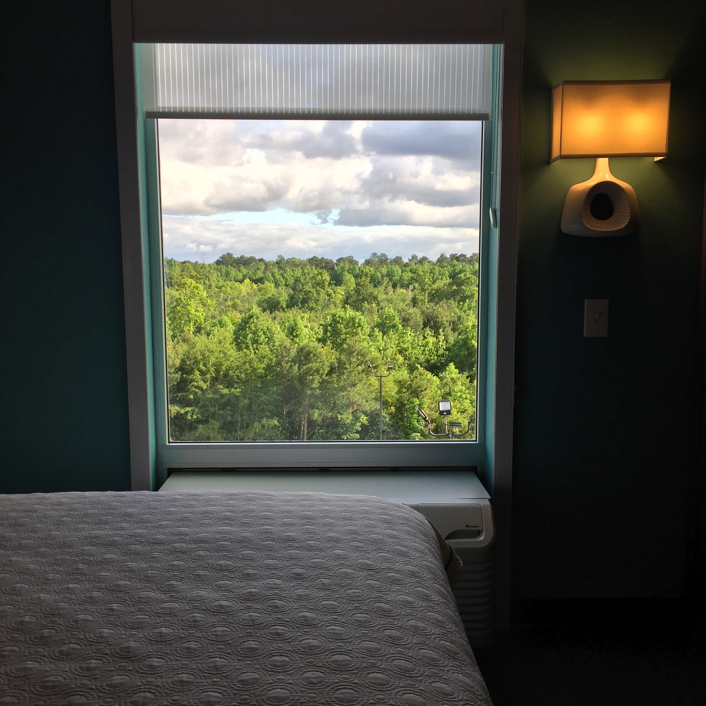
view from Home2Suites

Drying Roses

tasty lunch

Sky View Restaurant Ghost Neon Sign 2 Florence SC

Sky View Restaurant Ghost Neon Sign 1 Florence SC

Honda Fit [HDR]

CSX T342-25 at CP South Florence
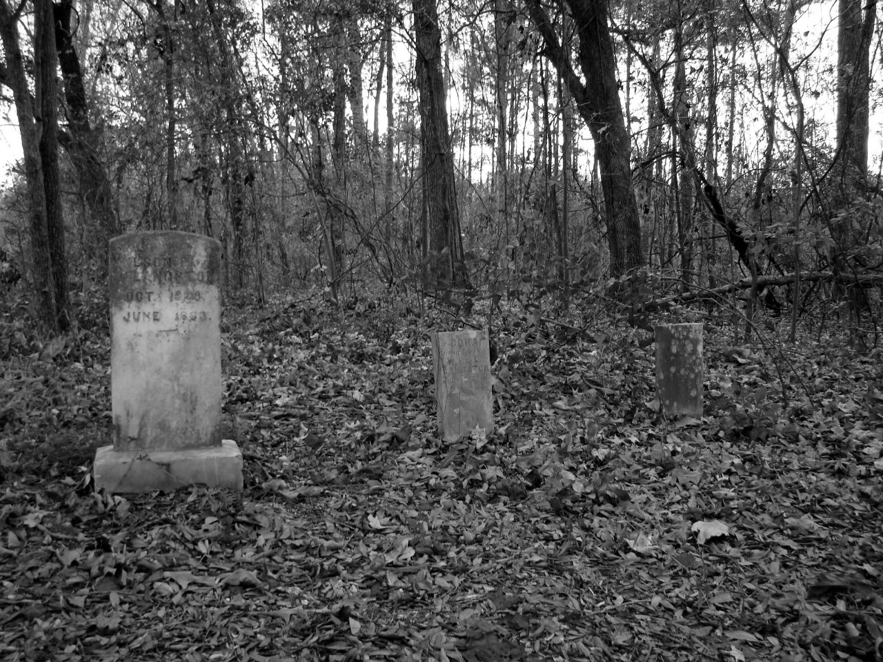
Forgotten stones

Sunset in Florence, SC
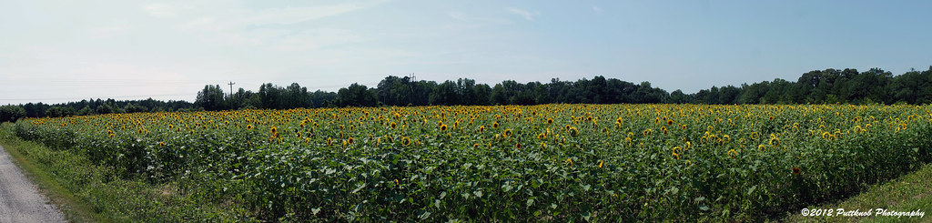
The Sunflower Field
Tobaco Trail-159
Topographic Map of Langston Rd, Timmonsville, SC, USA
Find elevation by address:

Places near Langston Rd, Timmonsville, SC, USA:
State Rd S-21-53, Timmonsville, SC, USA
7043 Fork Rd
2042 Brock Cir
U.s. 301
S Point Rd, Effingham, SC, USA
Southbrook Circle
Timmonsville
1416 Creamoor Ln
2154 Elderberry Dr
Elderberry Drive
N Old Georgetown Rd, Coward, SC, USA
206 N Hill St
2925 W Palmetto St
Mt Zion Rd, Olanta, SC, USA
1320 Millbank Dr
1320 Millbank Dr
1320 Millbank Dr
1320 Millbank Dr
2756 State Rd S-21-1528
2126 Vespers Ct
Recent Searches:
- Elevation of Hobbyhorse Ct, Dover, DE, USA
- Elevation of Horseshoe Ln, Dahlonega, GA, USA
- Elevation of Village Point Dr, Daphne, AL, USA
- Elevation map of Kabardino-Balkarian Republic, Russia
- Elevation of Tyrnyauz, Kabardino-Balkarian Republic, Russia
- Elevation of Sunset Dr, Hernando, MS, USA
- Elevation of Lake Rotoroa, Tasman, New Zealand
- Elevation of George St, New Bern, NC, USA
- Elevation of Cove Rd, Jasper, GA, USA
- Elevation of Cove Rd, Jasper, GA, USA