Elevation of Shichinohe, Kamikita District, Aomori Prefecture, Japan
Location: Japan > Aomori Prefecture > Kamikita District >
Longitude: 141.151020
Latitude: 40.697416
Elevation: 33m / 108feet
Barometric Pressure: 101KPa
Elevation Map:
Satellite Map:
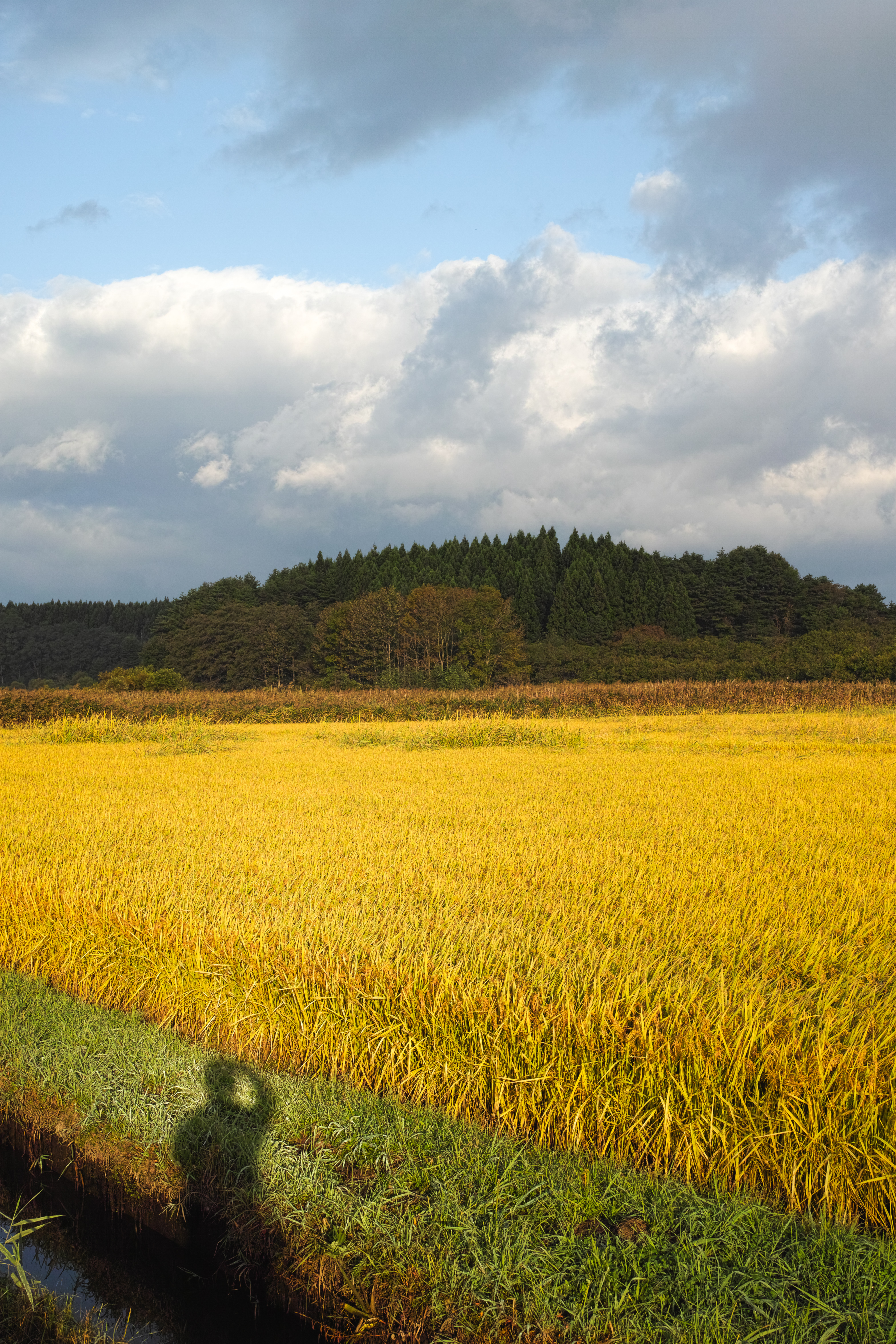
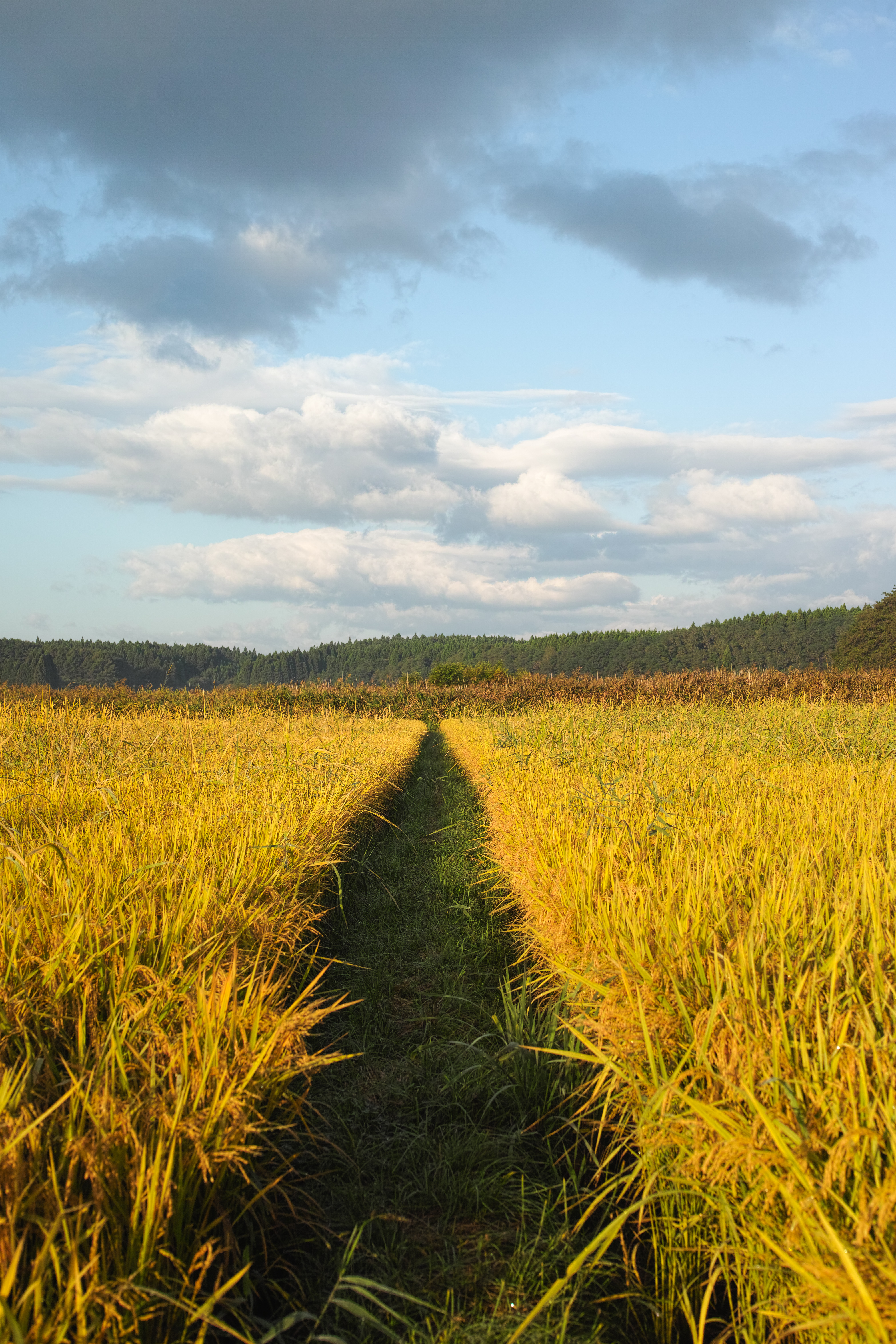
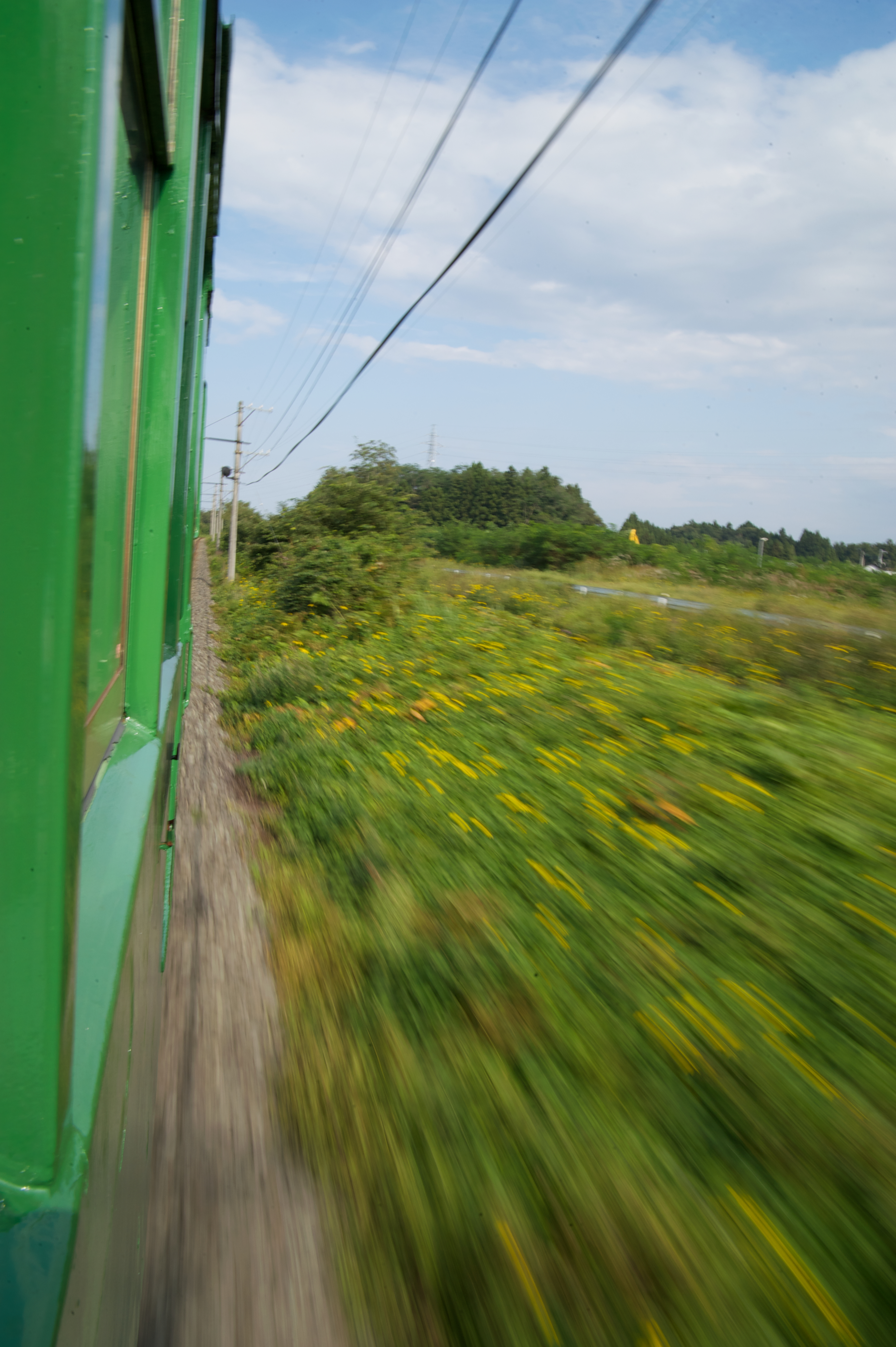
Related Photos:
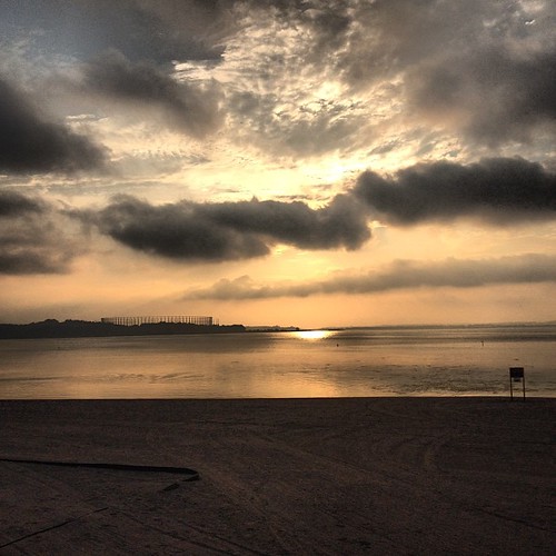
After a long day, seeing this as my view on the way home was a lovely respite

What A View

DP2M3922.jpg

DP2M3926.jpg

DSC03551.jpg
DP2M3926.jpg
DP2M3922.jpg

DSC06258.jpg

DSC03546.jpg

DSC03502.jpg

DSC06256.jpg

DSC02636.jpg

DSC06262.jpg
2009-09-22_DSC6822

DSC03511.jpg

DSC03535.jpg
Topographic Map of Shichinohe, Kamikita District, Aomori Prefecture, Japan
Find elevation by address:

Places in Shichinohe, Kamikita District, Aomori Prefecture, Japan:
Places near Shichinohe, Kamikita District, Aomori Prefecture, Japan:
87 Ichounoki, Shichinohe-machi, Kamikita-gun, Aomori-ken -, Japan
Towada
Tohoku
Kamikita District
Hiyamizu- Okuse, Towada-shi, Aomori-ken -, Japan
Rokunohe
Maeyachi-26 Inuotose, Rokunohe-machi, Kamikita-gun, Aomori-ken -, Japan
Misawa
Tsutanananuma
58 Shimoniida, Gonohe-machi, Sannohe-gun, Aomori-ken -, Japan
Gonohe
Herai
Shingo
Tozaki-- Misawa, Misawa-shi, Aomori-ken -, Japan
Ishinashizaka Herai
Ishinashizaka-16 Herai
Heraidake
Towadakohannenokuchi- Okuse, Towada-shi, Aomori-ken -, Japan
Sannohe District
Shironoshita Umenai
Recent Searches:
- Elevation of Congressional Dr, Stevensville, MD, USA
- Elevation of Bellview Rd, McLean, VA, USA
- Elevation of Stage Island Rd, Chatham, MA, USA
- Elevation of Shibuya Scramble Crossing, 21 Udagawacho, Shibuya City, Tokyo -, Japan
- Elevation of Jadagoniai, Kaunas District Municipality, Lithuania
- Elevation of Pagonija rock, Kranto 7-oji g. 8"N, Kaunas, Lithuania
- Elevation of Co Rd 87, Jamestown, CO, USA
- Elevation of Tenjo, Cundinamarca, Colombia
- Elevation of Côte-des-Neiges, Montreal, QC H4A 3J6, Canada
- Elevation of Bobcat Dr, Helena, MT, USA