Elevation of Sheffield Ln, Helendale, CA, USA
Location: United States > California > San Bernardino County > Helendale >
Longitude: -117.33907
Latitude: 34.7396752
Elevation: 747m / 2451feet
Barometric Pressure: 93KPa
Elevation Map:
Satellite Map:
Related Photos:
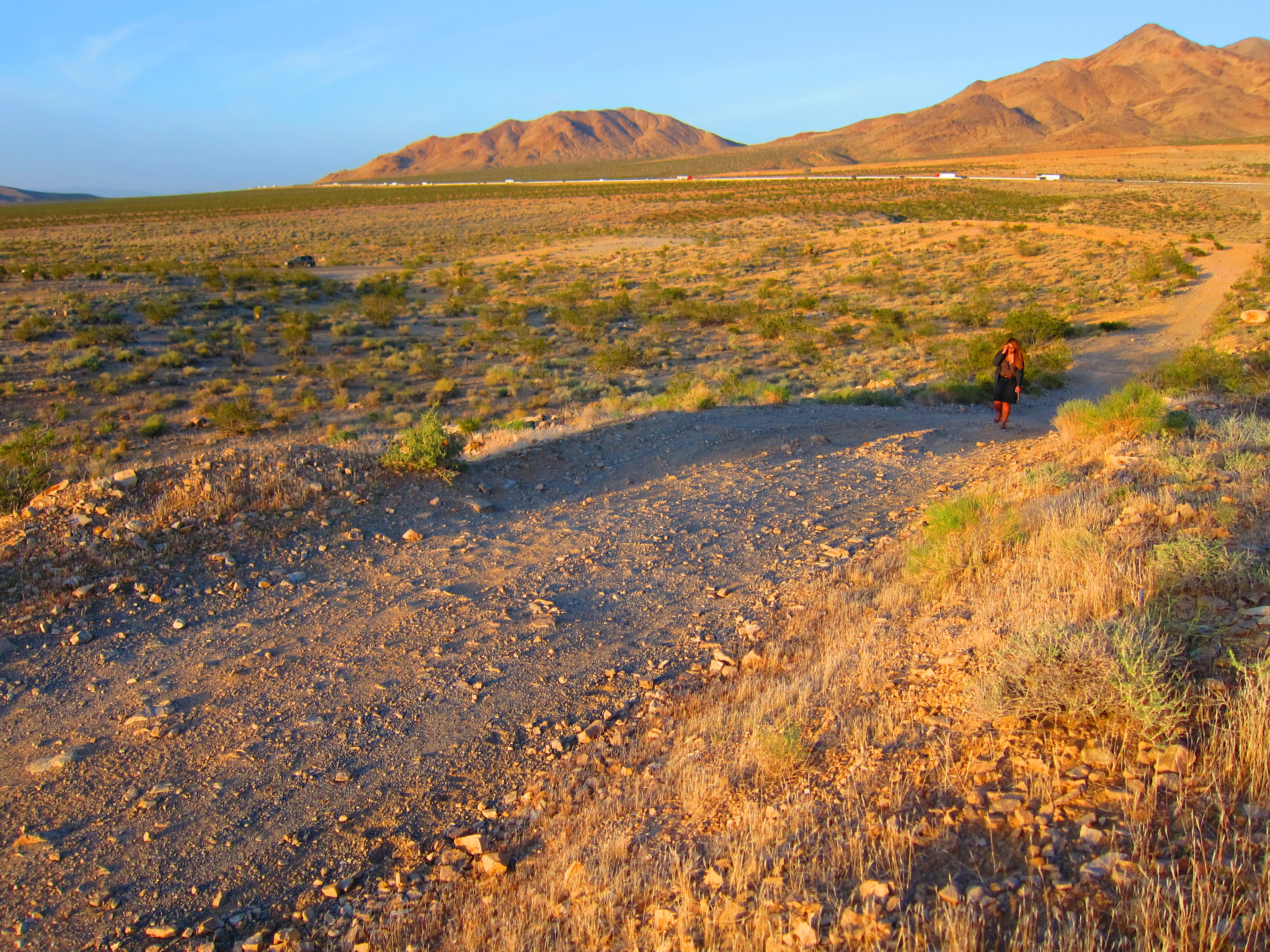
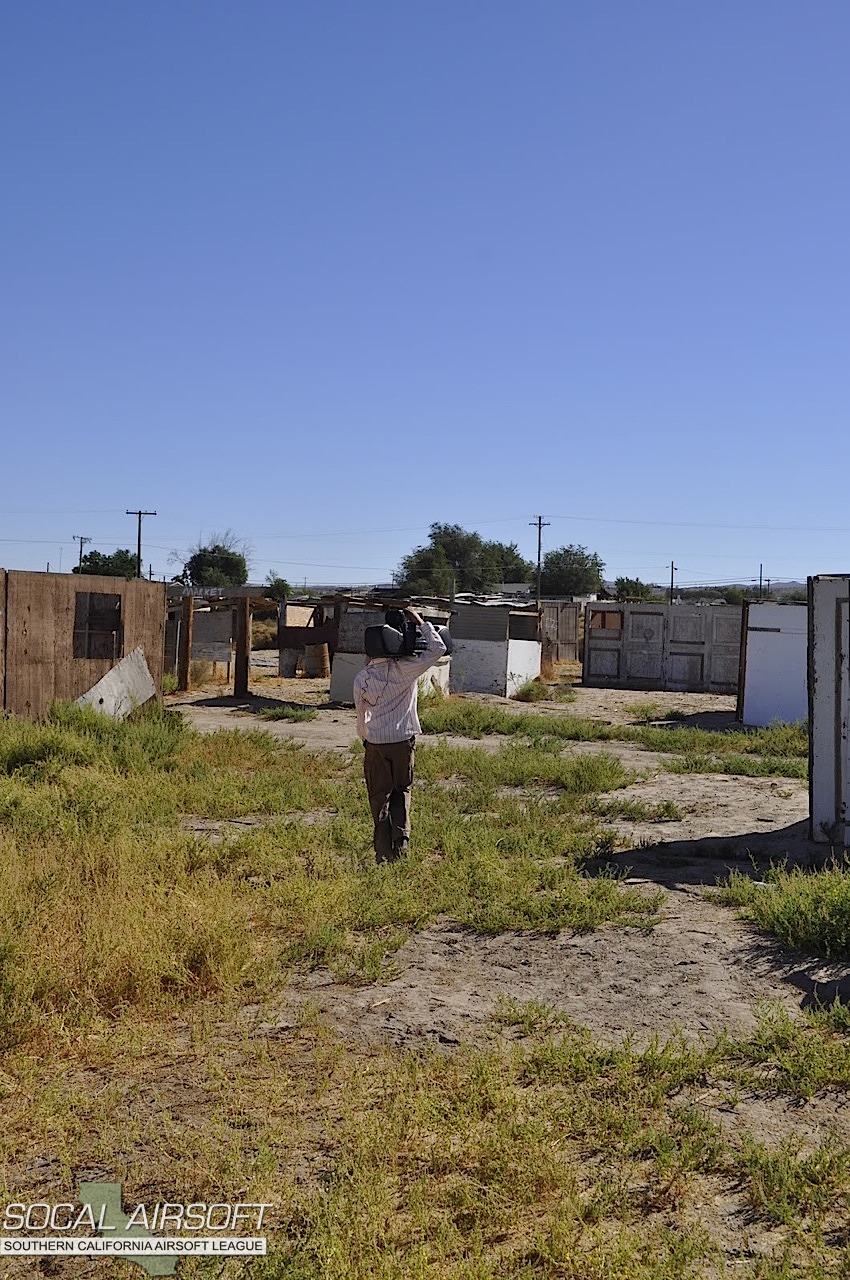
Candy Walking in Hodge

Bottle Trees

King Bros Studebaker Sign - Oro Grande, CA

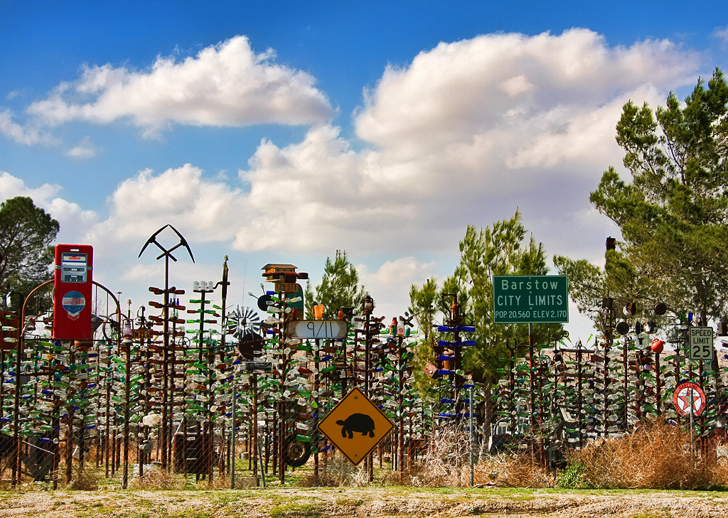
Bottle Tree Ranch
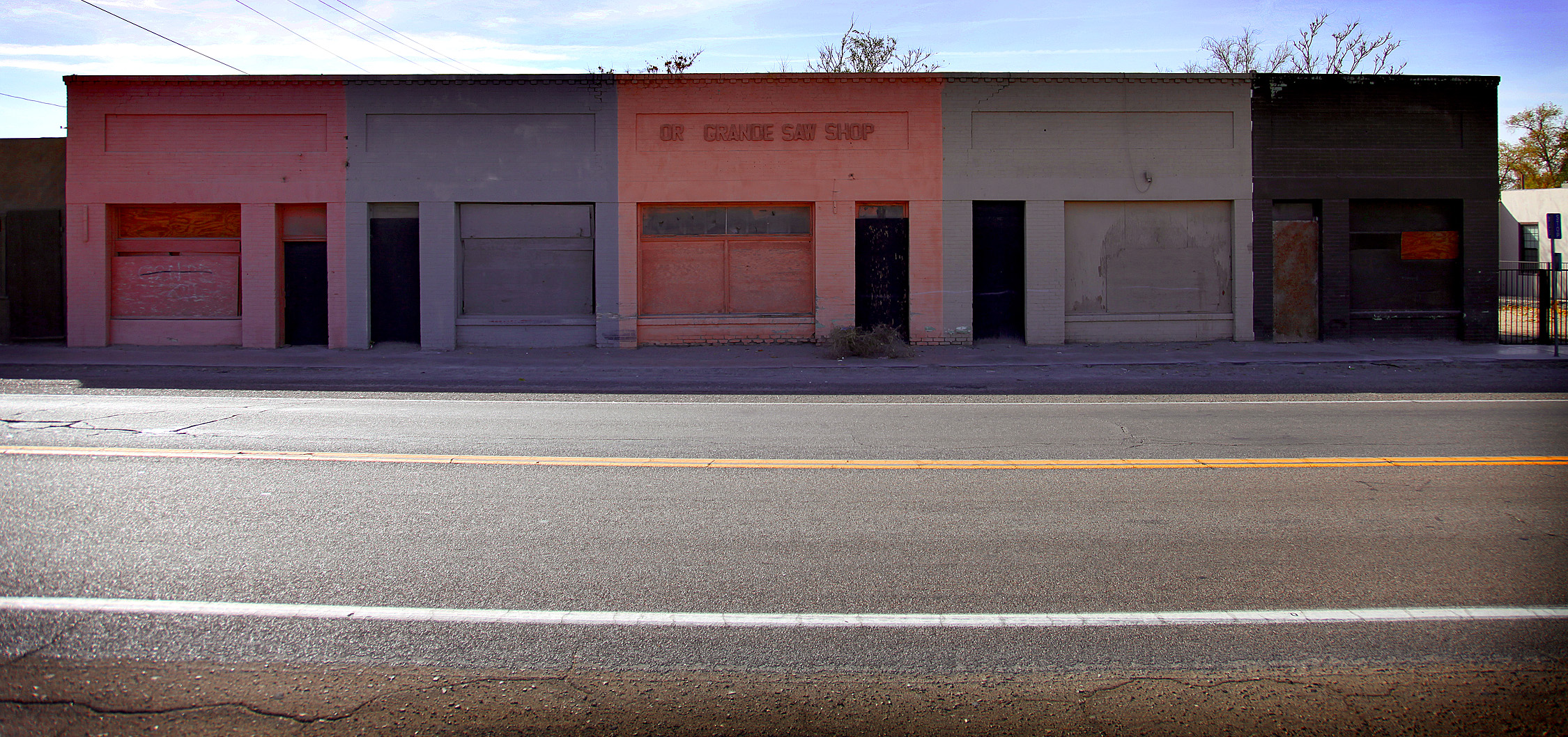
Or Grande Saw Shop
On the road again. My view from where I was sitting... for the past three hours
Helendale, CA
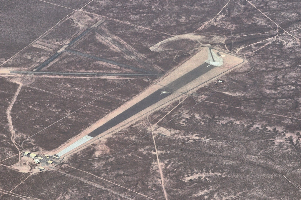
Airstrip north of Helendale

fire engine

His Water Ontaminated
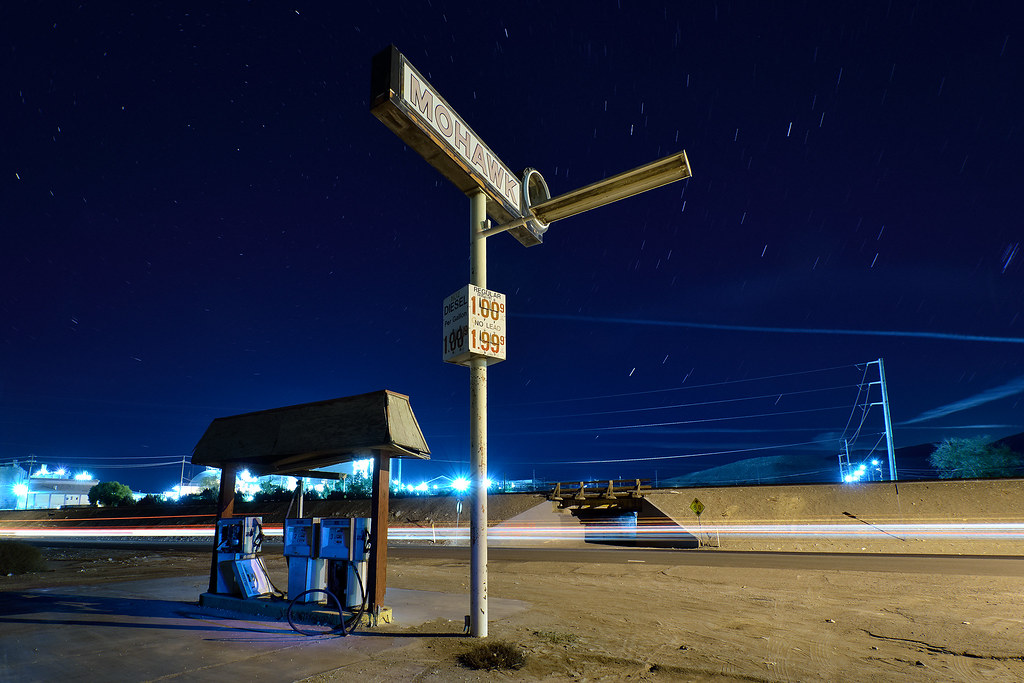
mohawk. oro grande, ca. 2014.
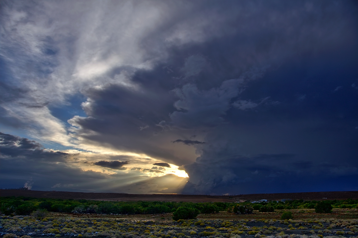
Riding the Storm Out
A Desert Winter's Evening

Left Las Vegas

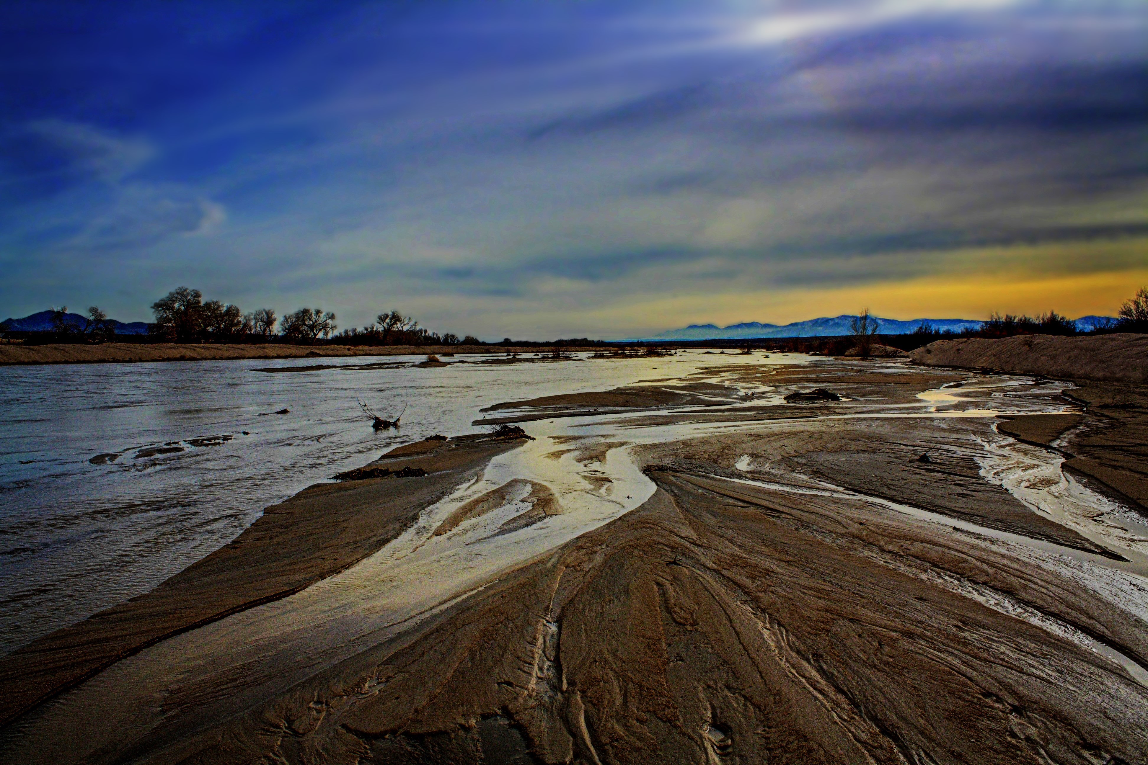
A Hodge Desert Sunset

Mojave National Preserve

#way #to #vegas

Blue desert sky
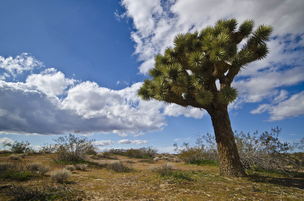
Joshua Tree
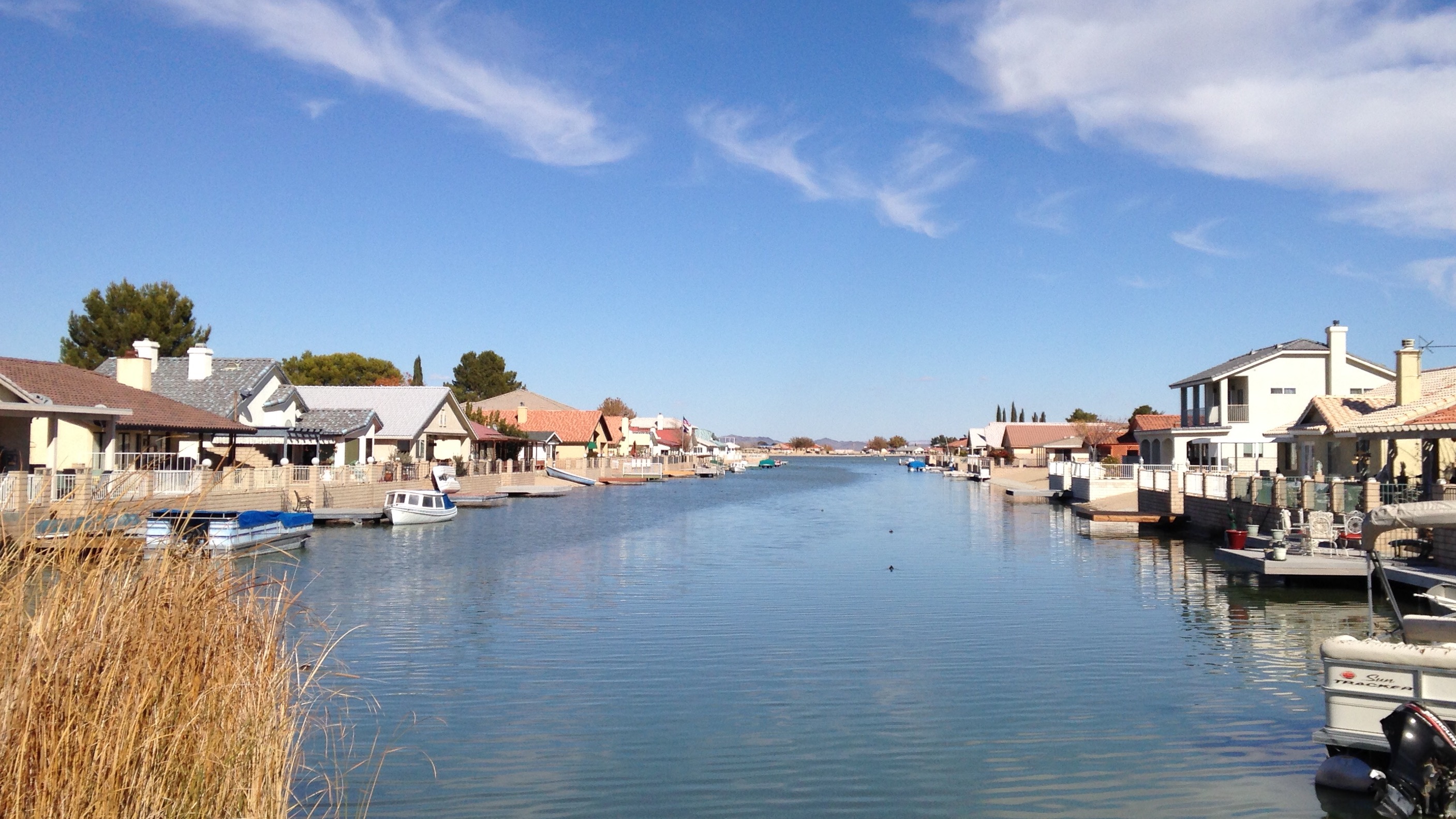
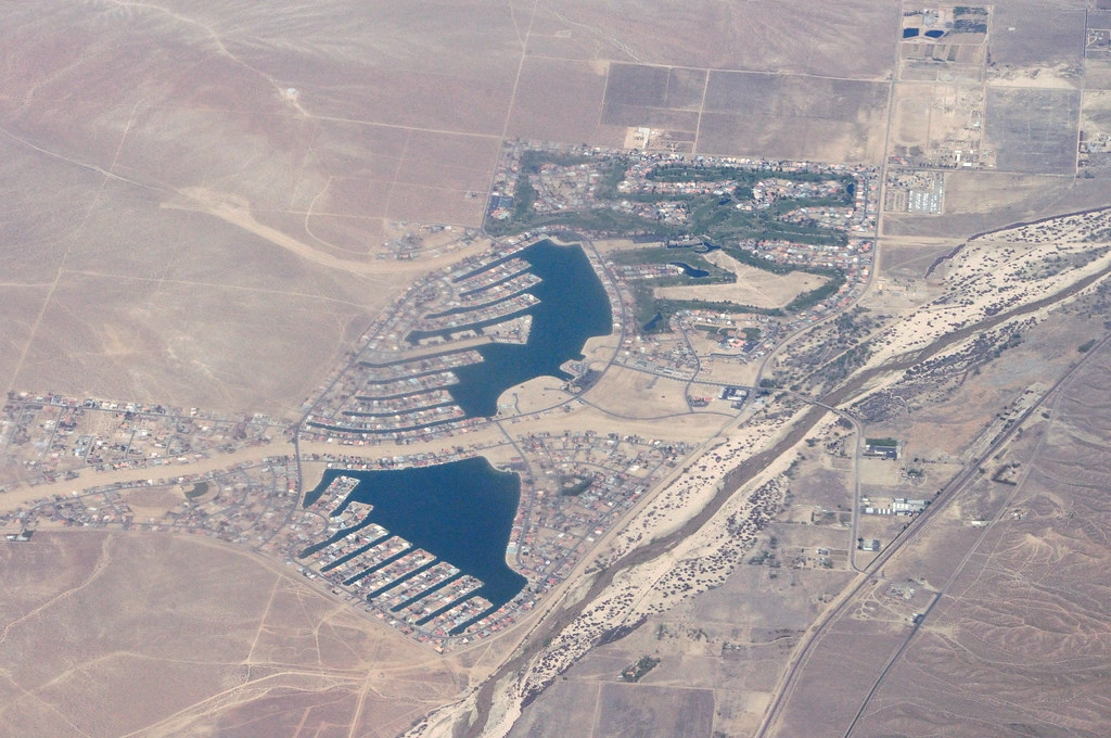
Silver Lakes, Helendale, CA
Bizarre glass sculpture along Route 66

Return to the White Ghost

Victorville Airport
On the road to Las Vegas
SSII-tallerthanstalin-050

Victorville Airport
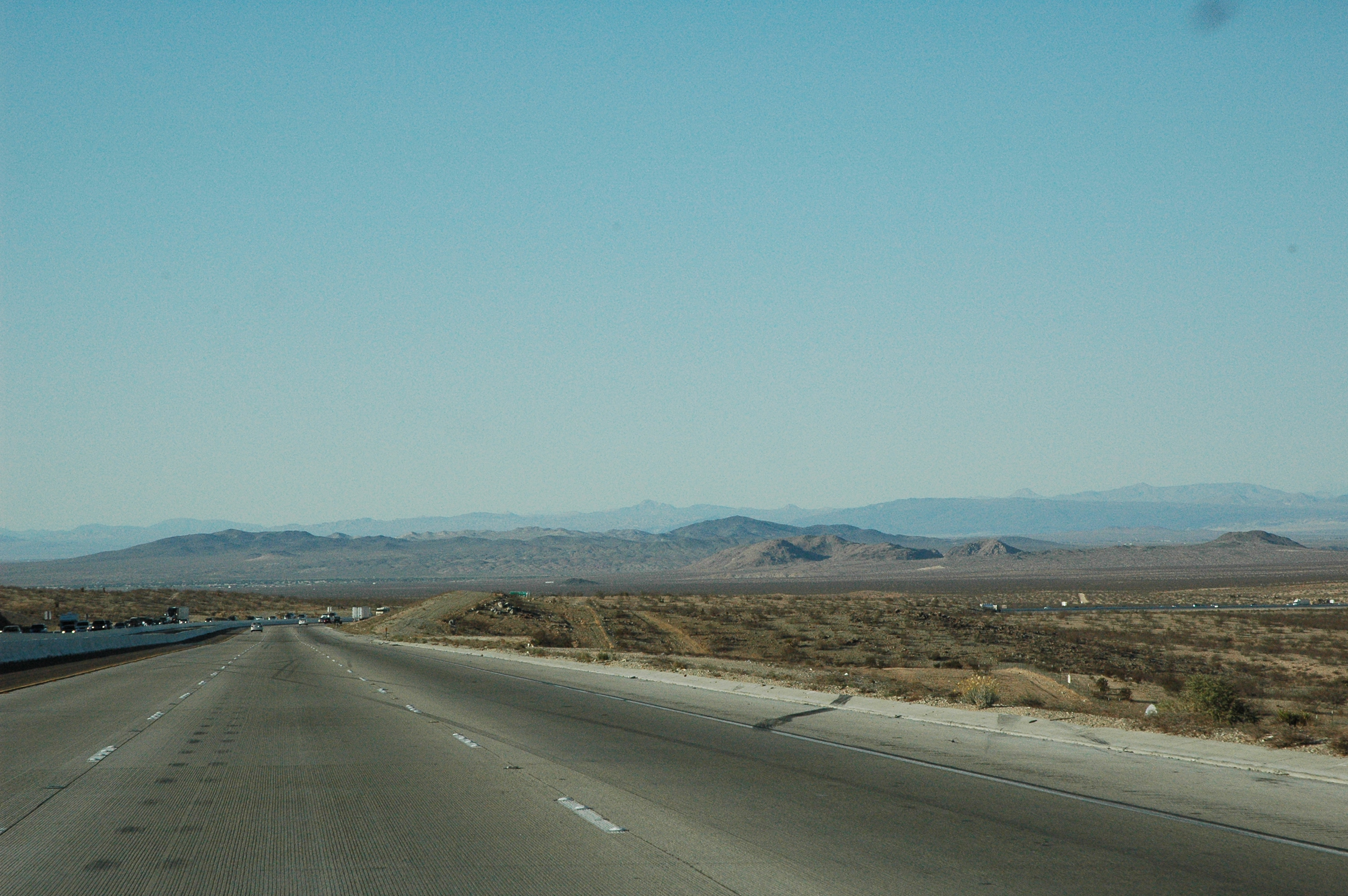
Hwy 15 nth of Victorville CA (nr exit 161)
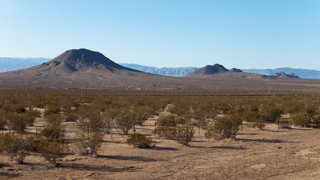
Mojave panorama
SSII-tallerthanstalin-371
5A8251A_UL.jpg
Topographic Map of Sheffield Ln, Helendale, CA, USA
Find elevation by address:

Places near Sheffield Ln, Helendale, CA, USA:
27460 Vista Rd
Lighthouse Lane
Helendale
27971 Hummingbird Ln
27978 Rodeo Rd
18459 National Trails Hwy
17807 Cottonwood Rd
National Trails Hwy, Oro Grande, CA, USA
28373 Bullion Rd
Olive St, Oro Grande, CA, USA
Oro Grande
Veterans' Memorial Highway
13364 Aerospace Dr
Hodge
George Airforce Base
11610 Chamberlaine Way
Lee Ave, Adelanto, CA, USA
Adelanto
19001 Dennis St
17419 Jupiter Ave
Recent Searches:
- Elevation of F36W+3M, Mussoorie, Uttarakhand, India
- Elevation of Fairland Ave, Fairhope, AL, USA
- Elevation of Sunset Dr, Richmond, VA, USA
- Elevation of Grodna District, Hrodna Region, Belarus
- Elevation of Hrodna, Hrodna Region, Belarus
- Elevation of Sandia Derby Estates, Tijeras, NM, USA
- Elevation of 23 Sunrise View Ct, Tijeras, NM, USA
- Elevation of Lytham Ln, Katy, TX, USA
- Elevation of Tater Hill, Oklahoma, USA
- Elevation of NY-, Friendship, NY, USA