Elevation of Hummingbird Ln, Helendale, CA, USA
Location: United States > California > San Bernardino County > Helendale >
Longitude: -117.33063
Latitude: 34.7598363
Elevation: 738m / 2421feet
Barometric Pressure: 93KPa
Elevation Map:
Satellite Map:
Related Photos:
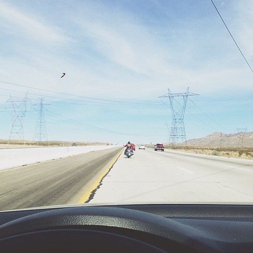
On the road again. My view from where I was sitting... for the past three hours

PHEW!!!

Bottle Trees

Candy Walking in Hodge

Bottle Tree Ranch

His Water Ontaminated

Riding the Storm Out

Route 66, Helendale, California

Route 66, Helendale, California

Silver Lakes, Helendale, CA

Out of the Darkness

UP 2688+6302+9784+8652, Johnstons Corner (CA)

A Hodge Desert Sunset

High Desert dawn

Hodge, CA.

Mojave National Preserve - CA

A Desert Winter's Evening

Bizarre glass sculpture along Route 66

Silver Lakes, Helendale, CA

Rural San Bernardino County

Rural San Bernardino County

Vanishing point, Mojave Desert

Return to the White Ghost

SSII-tallerthanstalin-050

Drive-By Photography

Mojave panorama

SSII-tallerthanstalin-283
Topographic Map of Hummingbird Ln, Helendale, CA, USA
Find elevation by address:

Places near Hummingbird Ln, Helendale, CA, USA:
27460 Vista Rd
Helendale
Lighthouse Lane
26850 Sheffield Ln
27978 Rodeo Rd
17807 Cottonwood Rd
18459 National Trails Hwy
28373 Bullion Rd
National Trails Hwy, Oro Grande, CA, USA
Hodge
Olive St, Oro Grande, CA, USA
Oro Grande
Veterans' Memorial Highway
13364 Aerospace Dr
George Airforce Base
11610 Chamberlaine Way
Lee Ave, Adelanto, CA, USA
Adelanto
Dale Evans Parkway
17419 Jupiter Ave
Recent Searches:
- Elevation of Grodna District, Hrodna Region, Belarus
- Elevation of Hrodna, Hrodna Region, Belarus
- Elevation of Sandia Derby Estates, Tijeras, NM, USA
- Elevation of 23 Sunrise View Ct, Tijeras, NM, USA
- Elevation of Lytham Ln, Katy, TX, USA
- Elevation of Tater Hill, Oklahoma, USA
- Elevation of NY-, Friendship, NY, USA
- Elevation of 64 Danakas Dr, Winnipeg, MB R2C 5N7, Canada
- Elevation of 4 Vale Rd, Sheffield S3 9QX, UK
- Elevation of Keene Point Drive, Keene Point Dr, Grant, AL, USA