Elevation of Lighthouse Lane, Lighthouse Ln, California, USA

Location: United States > California > San Bernardino County > Helendale >

Longitude: -117.34729

Latitude: 34.7482872

Elevation: 753m / 2470feet

Barometric Pressure: 93KPa

Elevation Map:

elevation map of Lighthouse Lane, Lighthouse Ln, California, USA

Satellite Map:

Satellite map of Lighthouse Lane, Lighthouse Ln, California, USA

Related Photos:

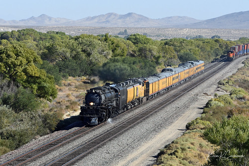
trains railroads unionpacific up locomotive steam bigboy 4014 4884 helendale california
PHEW!!!
candy
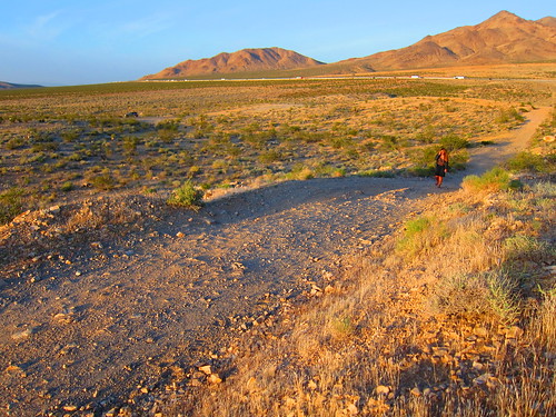
Candy Walking in Hodge
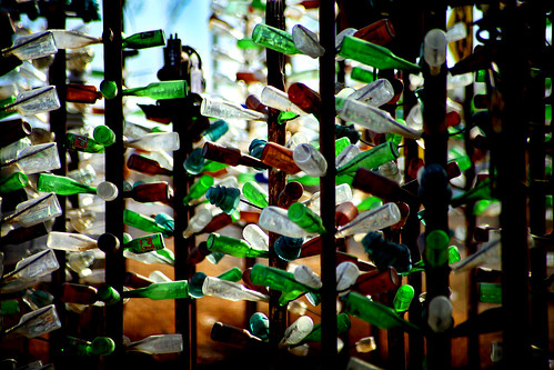
california usa america bottle unitedstates bottles bottletree bryman bottletreeranch elmerlong bottleranch
Bottle Trees
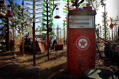
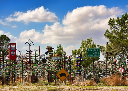
california usa america vintage bottle junk unitedstates jeep bottles junkyard texaco bottletree gaspump bryman bottletreeranch elmerlong bottleranch
Bottle Tree Ranch
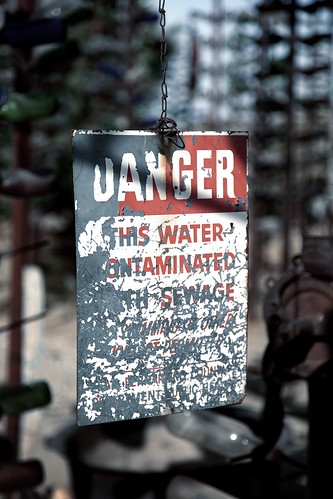
california old usa water sign danger america bottle unitedstates bottles decay bottletree decayed contaminated bryman bottletreeranch elmerlong bottleranch
His Water Ontaminated
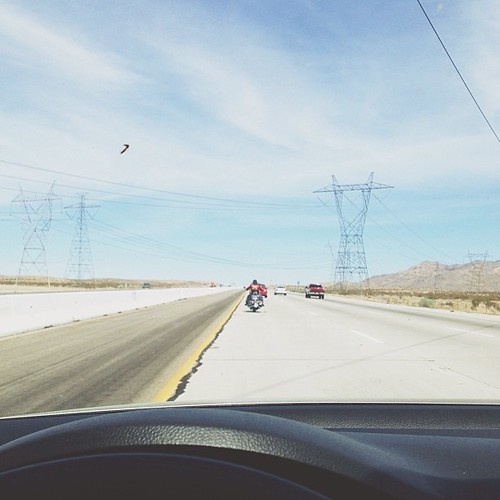
square squareformat iphoneography instagramapp uploaded:by=instagram foursquare:venue=4e90bf1f02d5ee38b6eb6cb9
On the road again. My view from where I was sitting... for the past three hours
california ca travel sky usa storm nature photoshop canon landscape grande photo interestingness interesting route66 october day photographer cs2 picture explore socal adobe southerncalifornia hdr highdynamicrange mojavedesert 2010 blend oro victorville manually adjust infocus denoise 40d topazlabs photographersnaturecom davetoussaint mygearandme me2youphotographylevel1
Riding the Storm Out
california sunset usa nikond70s helendale
Hodge, CA.
panorama desert mojave iphone6backcamera415mmf22
Mojave panorama
A Desert Winter's Evening
california travel vacation sculpture usa nature glass clouds canon landscape photo route66 day cloudy picture photographers roadtrip bizarre memorabilia 2010 orogrande oldroute66 highway18 40d photographersnaturecom davetoussaint
Bizarre glass sculpture along Route 66
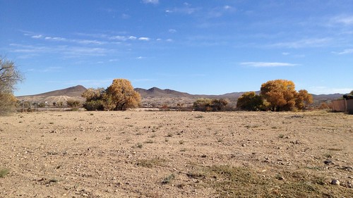
california vacantlot mojavedesert silverlakes helendale
Silver Lakes, Helendale, CA
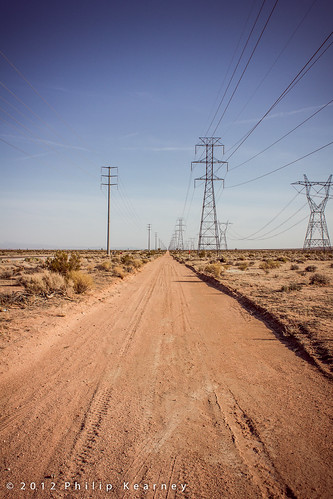
california road ca usa unitedstates desert unitedstatesofamerica pylon f90 northamerica kearney philip philipkearney ©philipkearney
Vanishing point, Mojave Desert
california mountains nikon desert dry nikond70s desolate mojavedesert victorville
34.778976,-117.214626
trip desert
Heading to Vegas
california usa landscape desert mojave
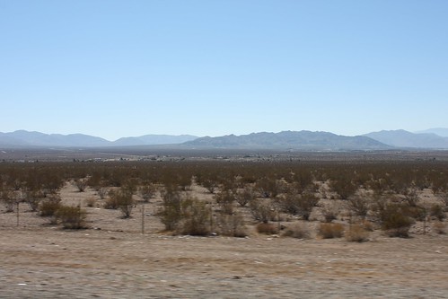
Along Interstate 15 near Barstow
california usa landscape desert mojave
Along Interstate 15 near Barstow
nikon sigma1020mmexhsm d7000
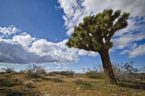
Joshua Tree
river brisbane valley mojave
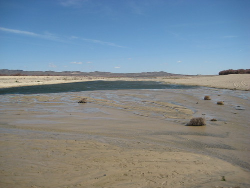
Mojave River 18
california silverlakes helendale
Silver Lakes, Helendale, CA
california ca sunset orange usa sun landscape unitedstates desert april 2012 helendale canonpowershots95
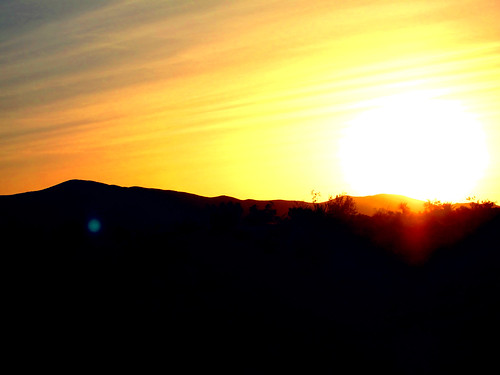
A Hodge Desert Sunset
california d850 abandoned landscape desert street dirtroad sand mojave quiet colorful urban forgotten helendale unitedstates us
Route 66, Helendale, California
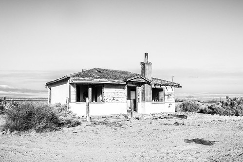
sand california d850 urban landscape monochrome mojave desert bushes brush blackwhite creepy quiet scary abandoned forgotten helendale unitedstates us
Route 66, Helendale, California
california santa las vegas pier highway sony malibu alpha troller monita a290 infinita dslra290
Mojave National Preserve - CA
Rural San Bernardino County
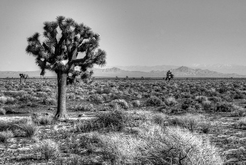
bw mountains landscape desert joshuatree
Joshua Tree