Elevation of Shawville, QC J0X, Canada
Location: Canada > Québec > Pontiac Regional County Municipality >
Longitude: -76.491463
Latitude: 45.603663
Elevation: 161m / 528feet
Barometric Pressure: 99KPa
Elevation Map:
Satellite Map:
Related Photos:
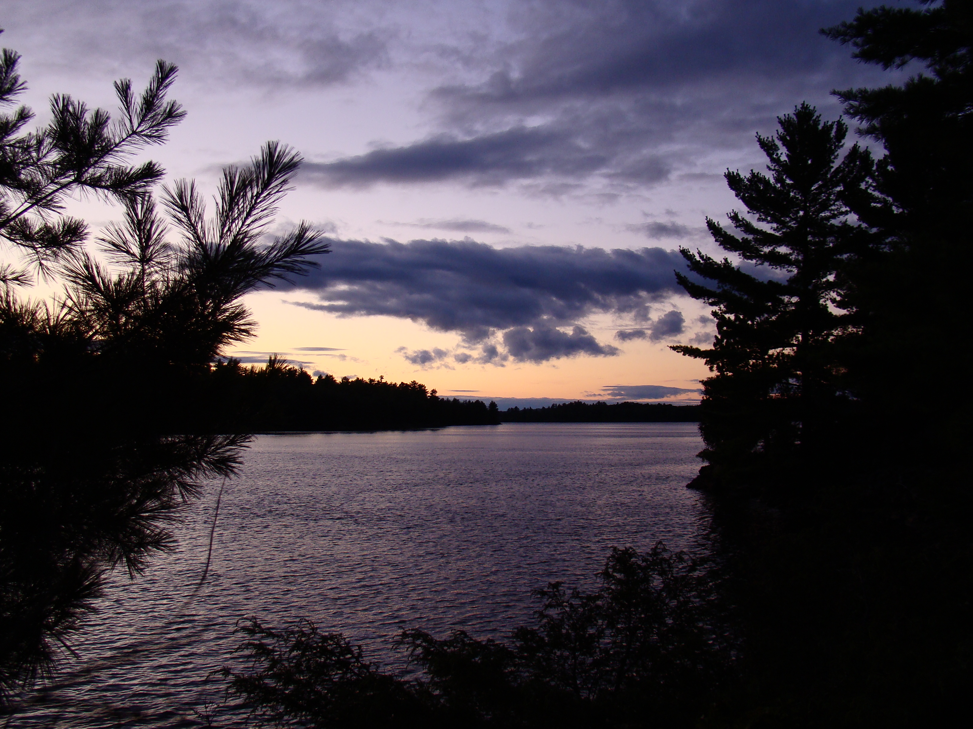
Island Sunset
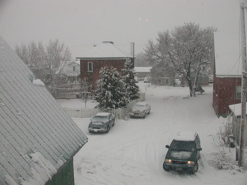
Heavy snow in Shawville

I love waking up to this view. #rurallife
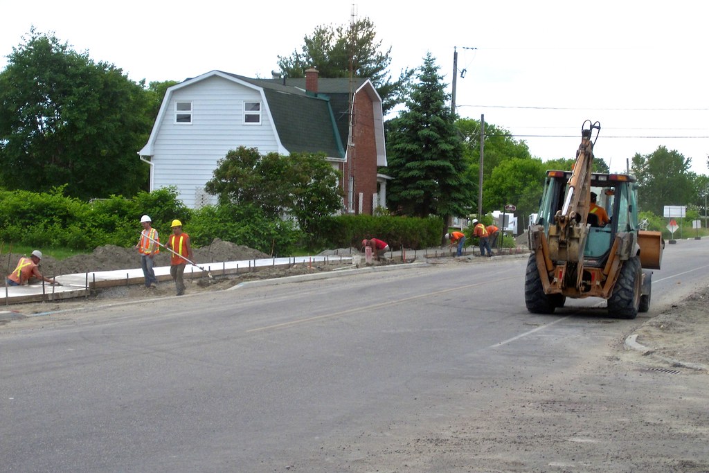
Sidewalk Construction
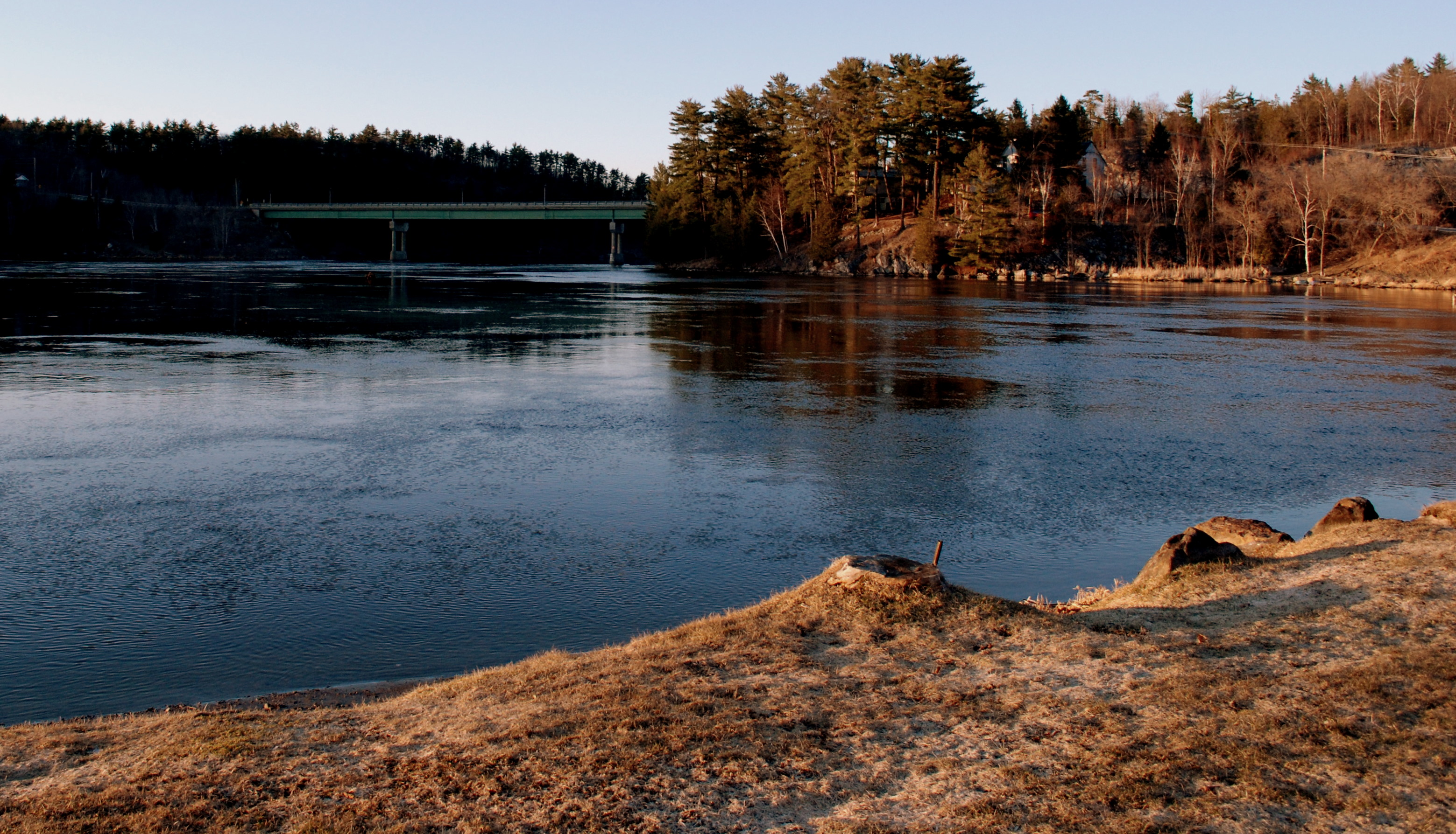
ottawa river at bryson

Star field
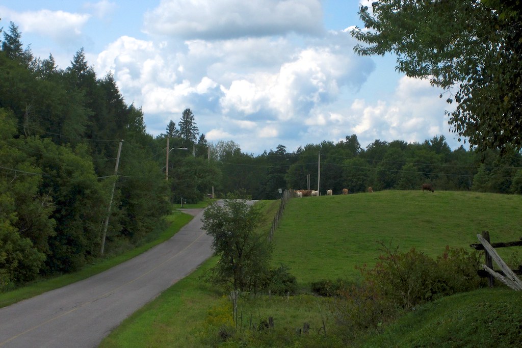
Heath Road
Waiting for the school bus.

Beautiful day for mowing the lawn in the vineyard. #PontiacQC
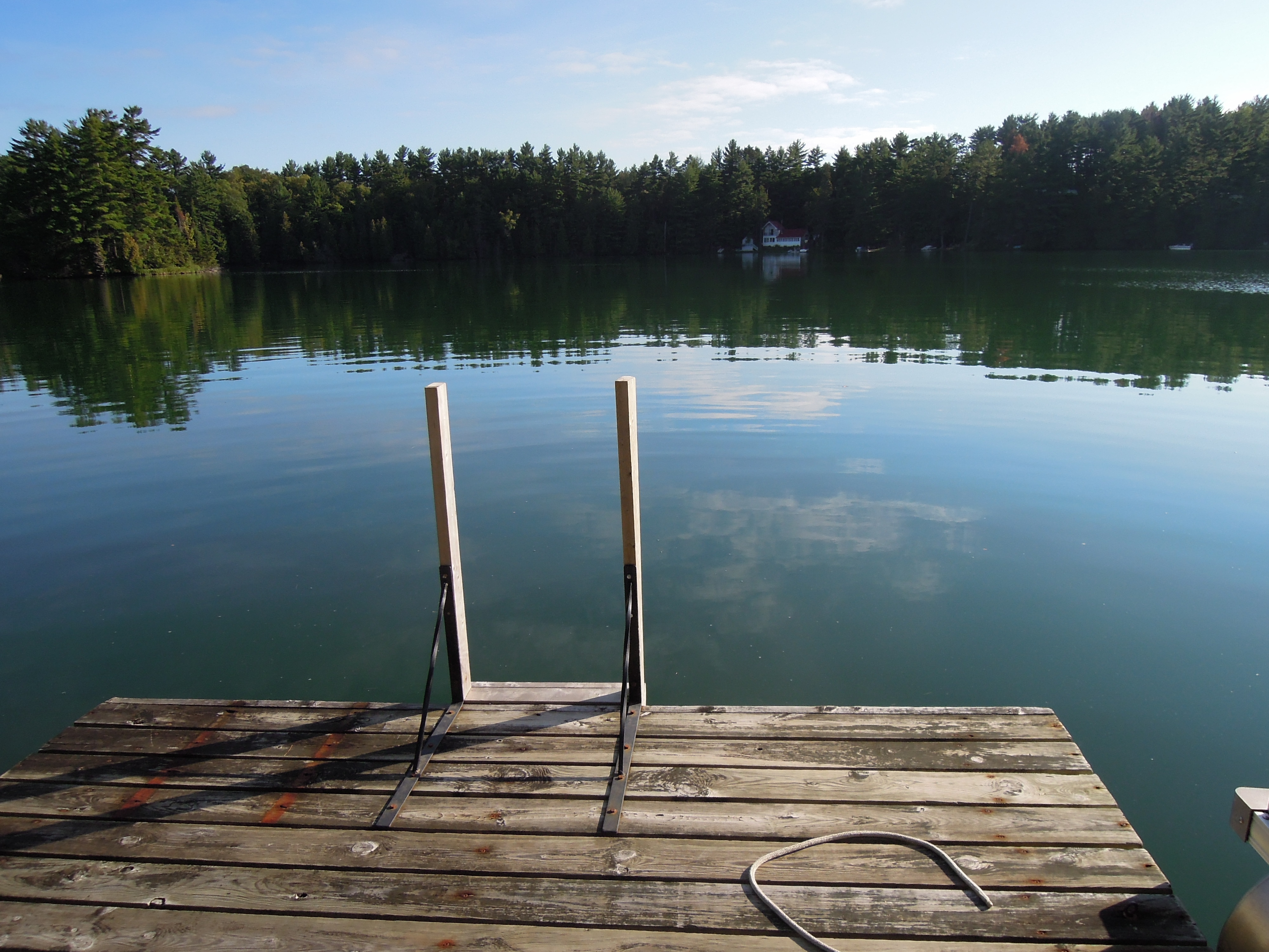
Up at Green Lake
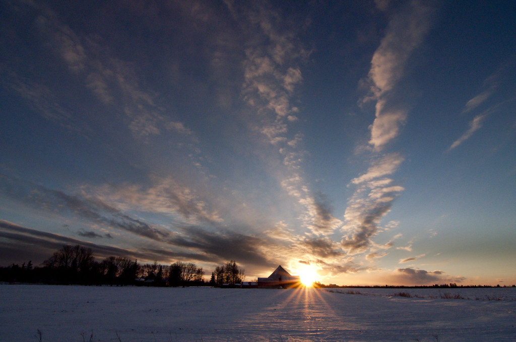
sunset on Lochwinnoch farmstead
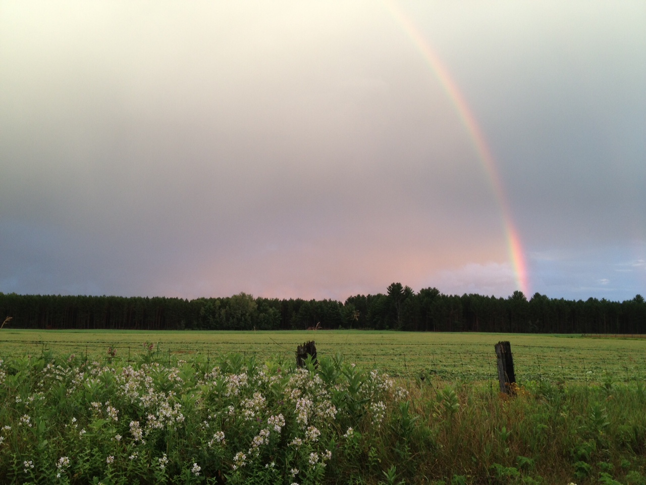
Beautiful rainbow in beautiful Bristol. #PontiacQC
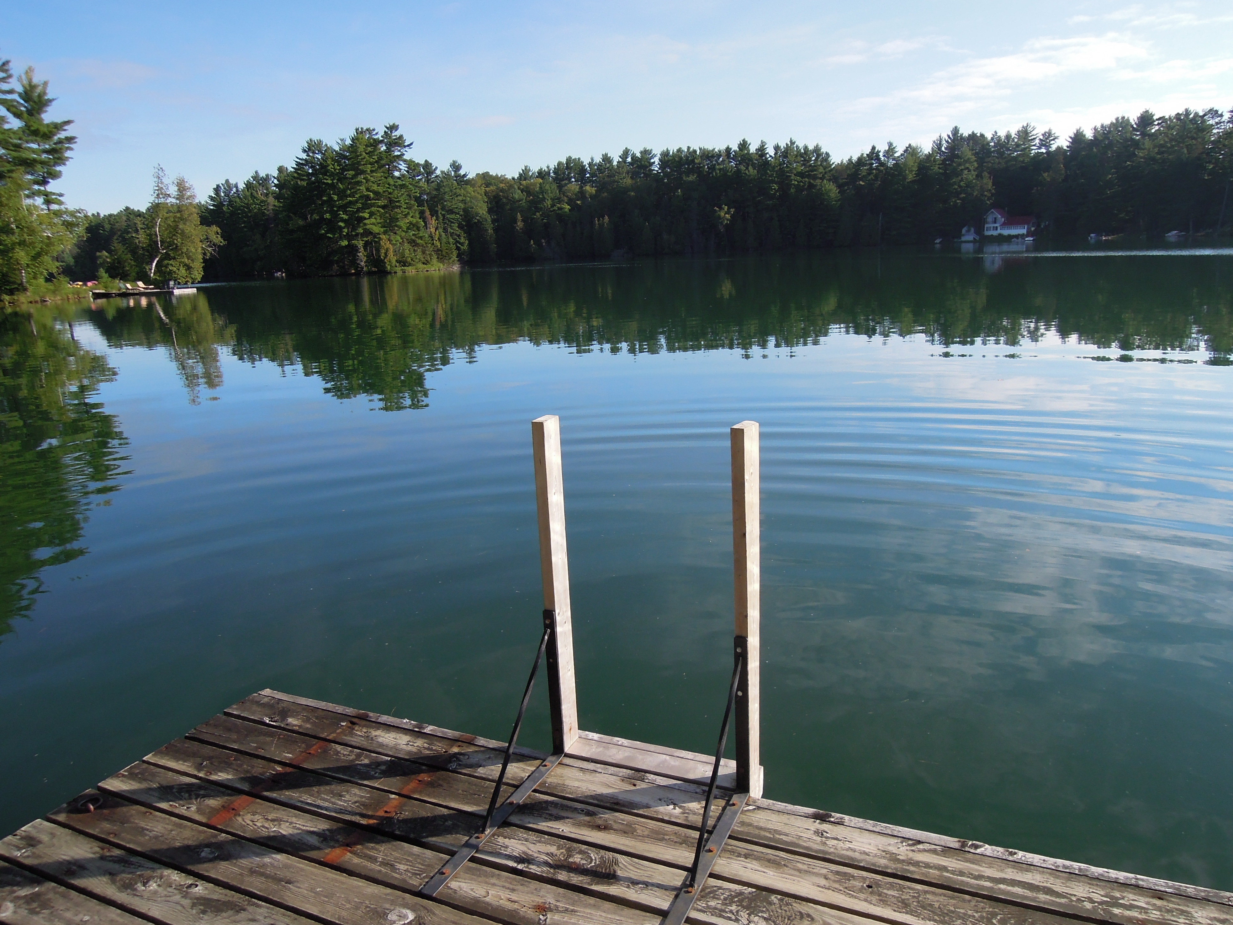
Up at Green Lake

Shawville sunset
SUNDAY MORNING STARTS
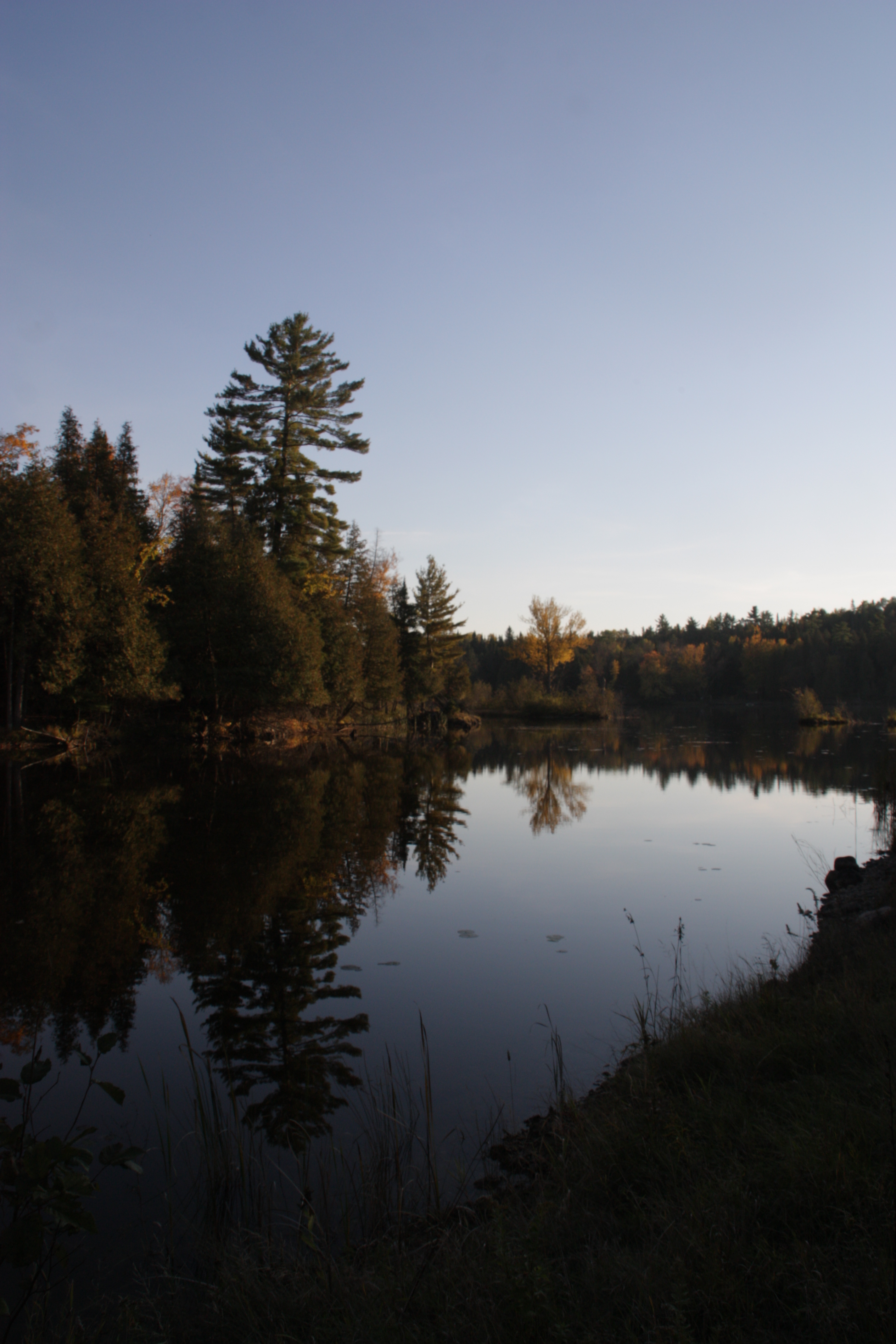
little pond
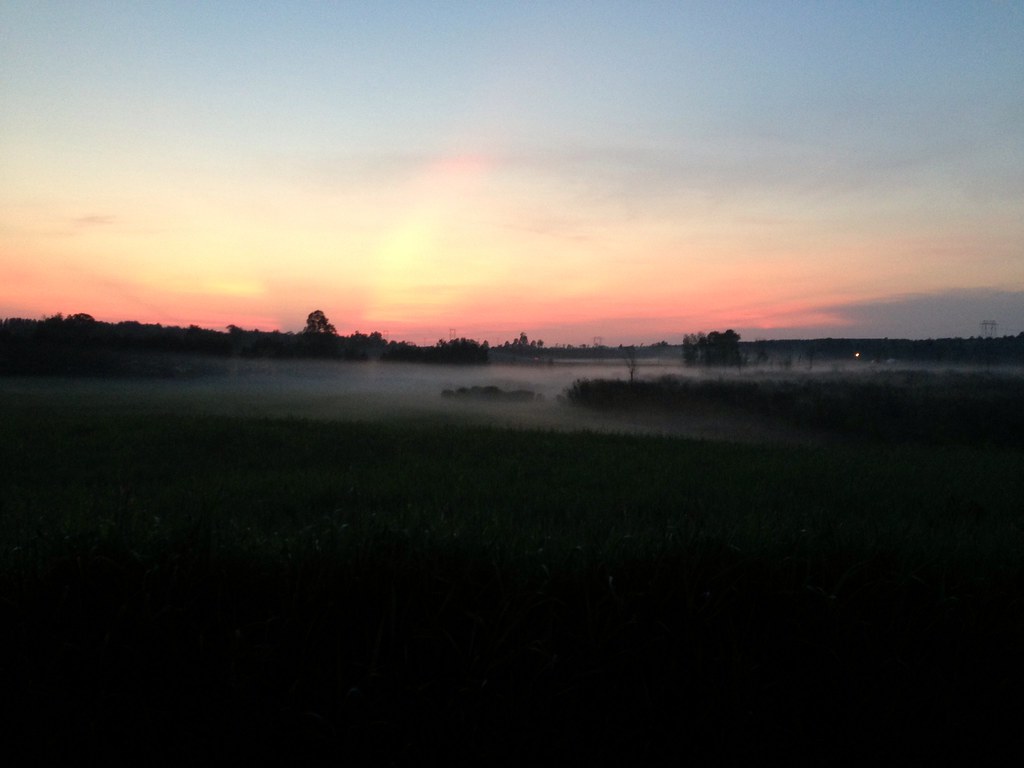
Fog over fields
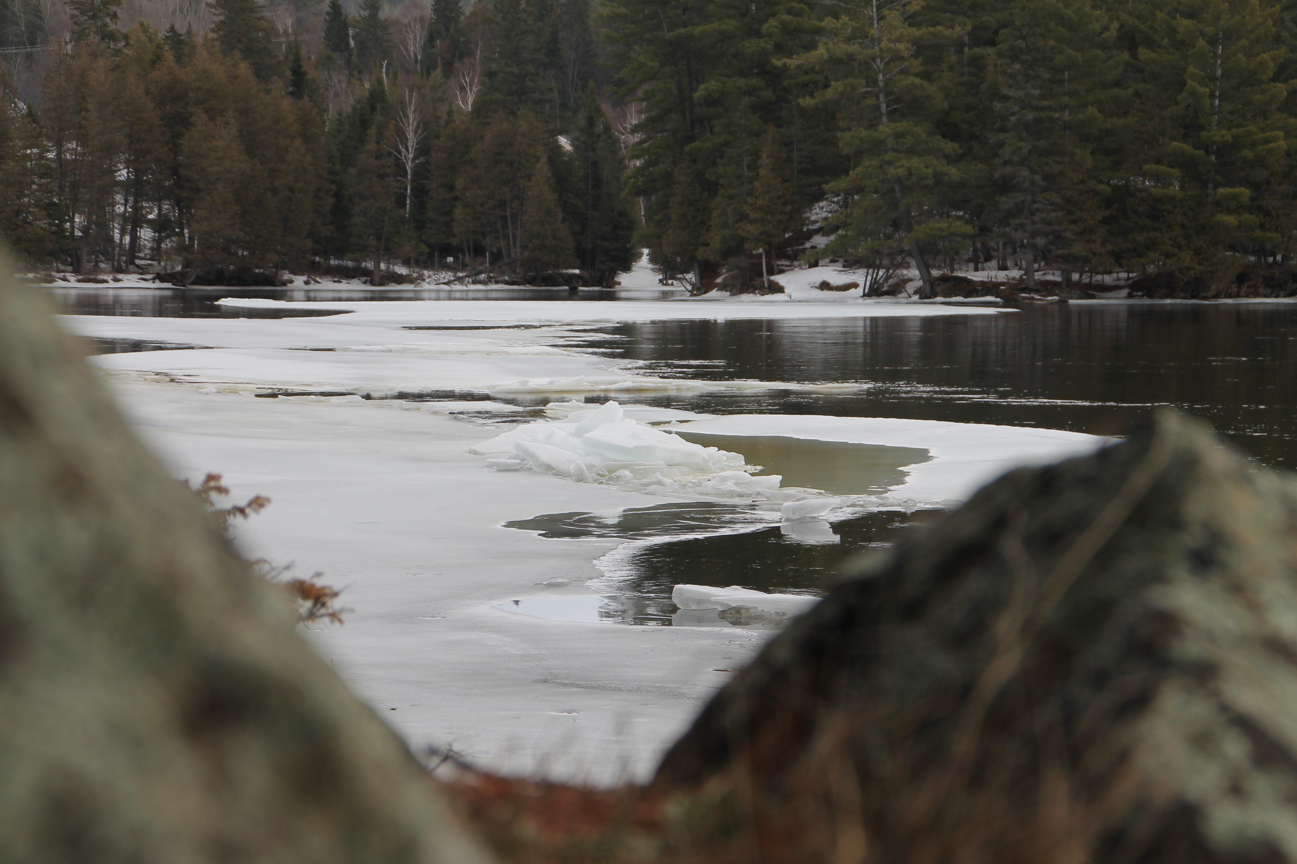
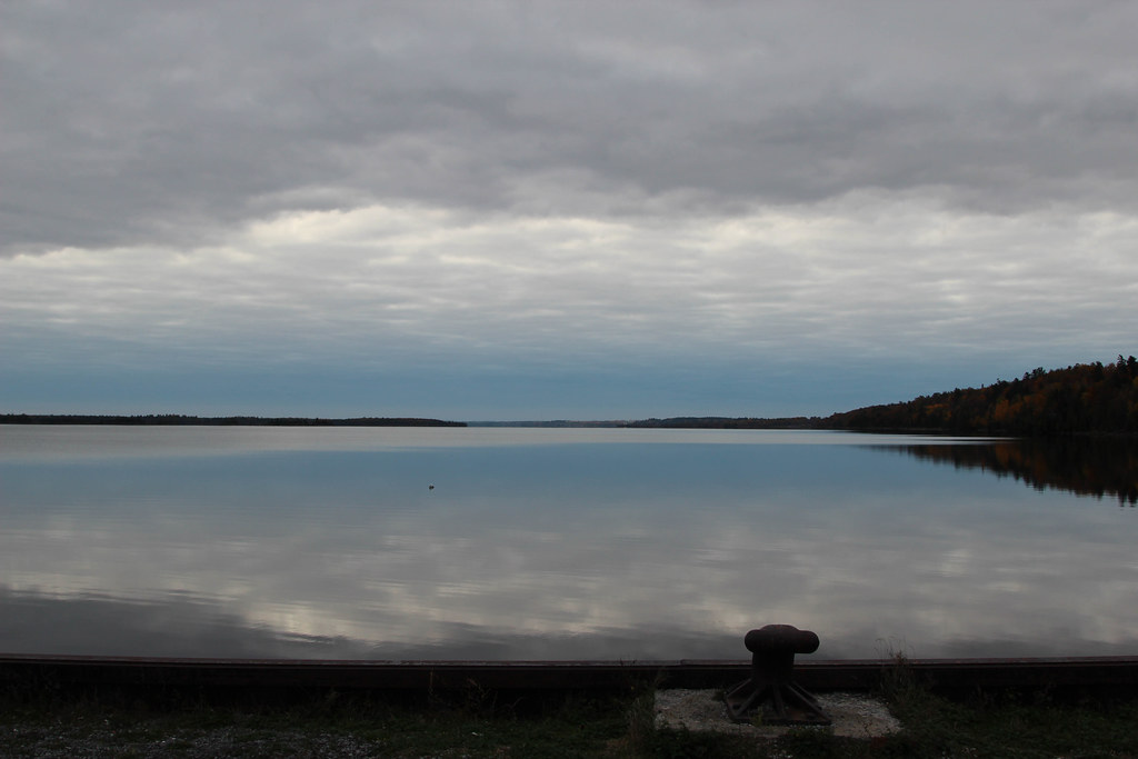
ottawa river
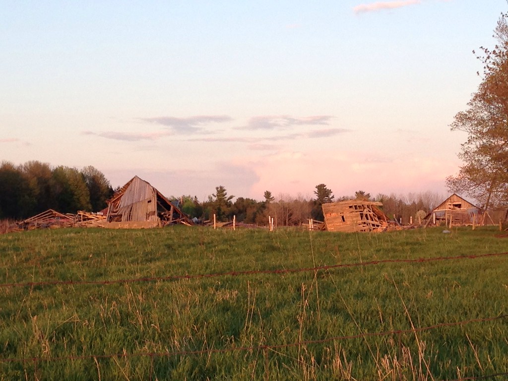
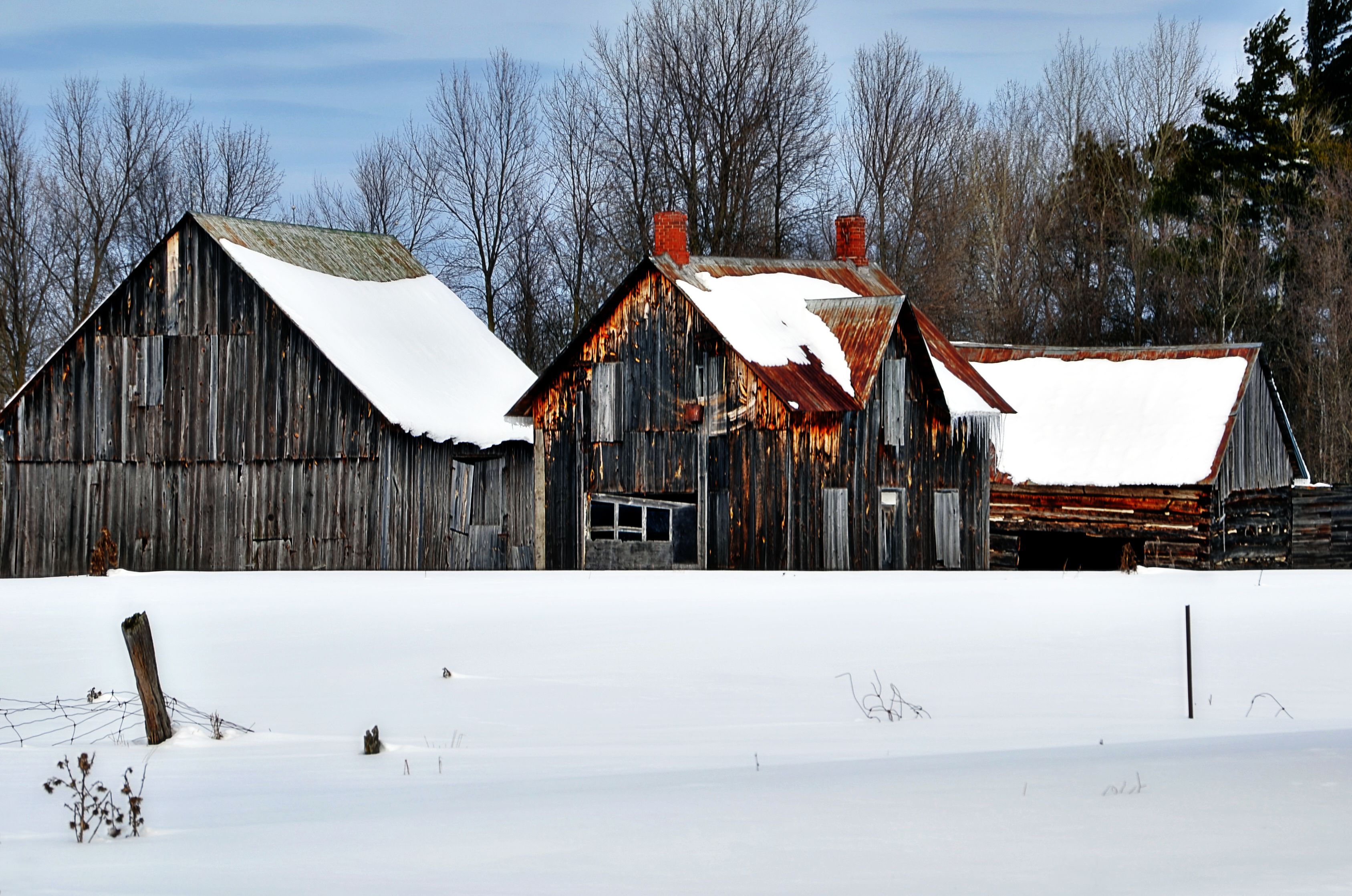
Collapsed barns
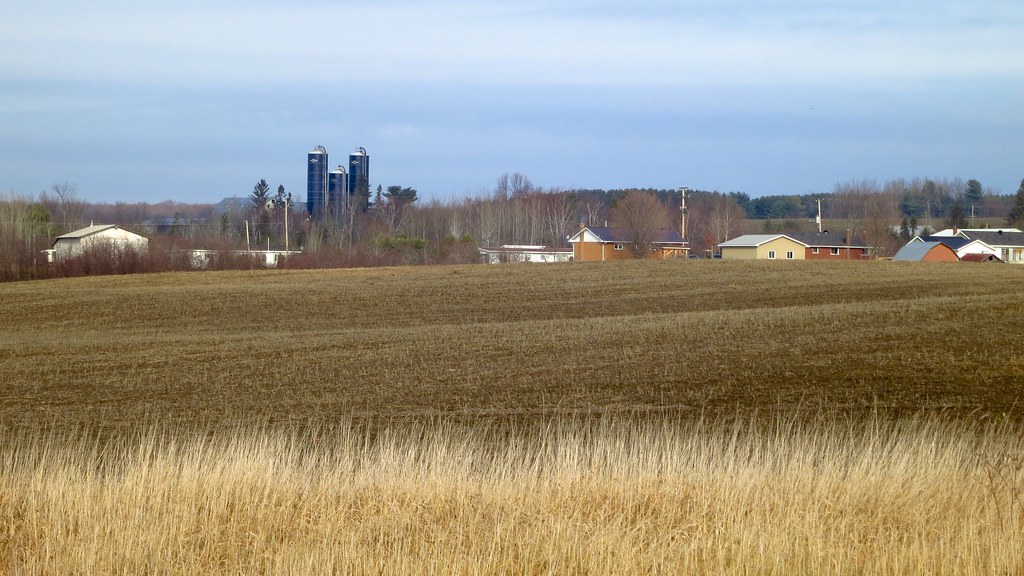
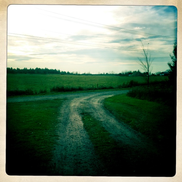
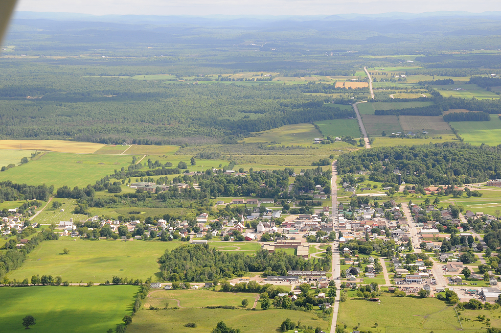
Western Shawville
Shawville, Qc 29 jl 2008 DSC_9921f
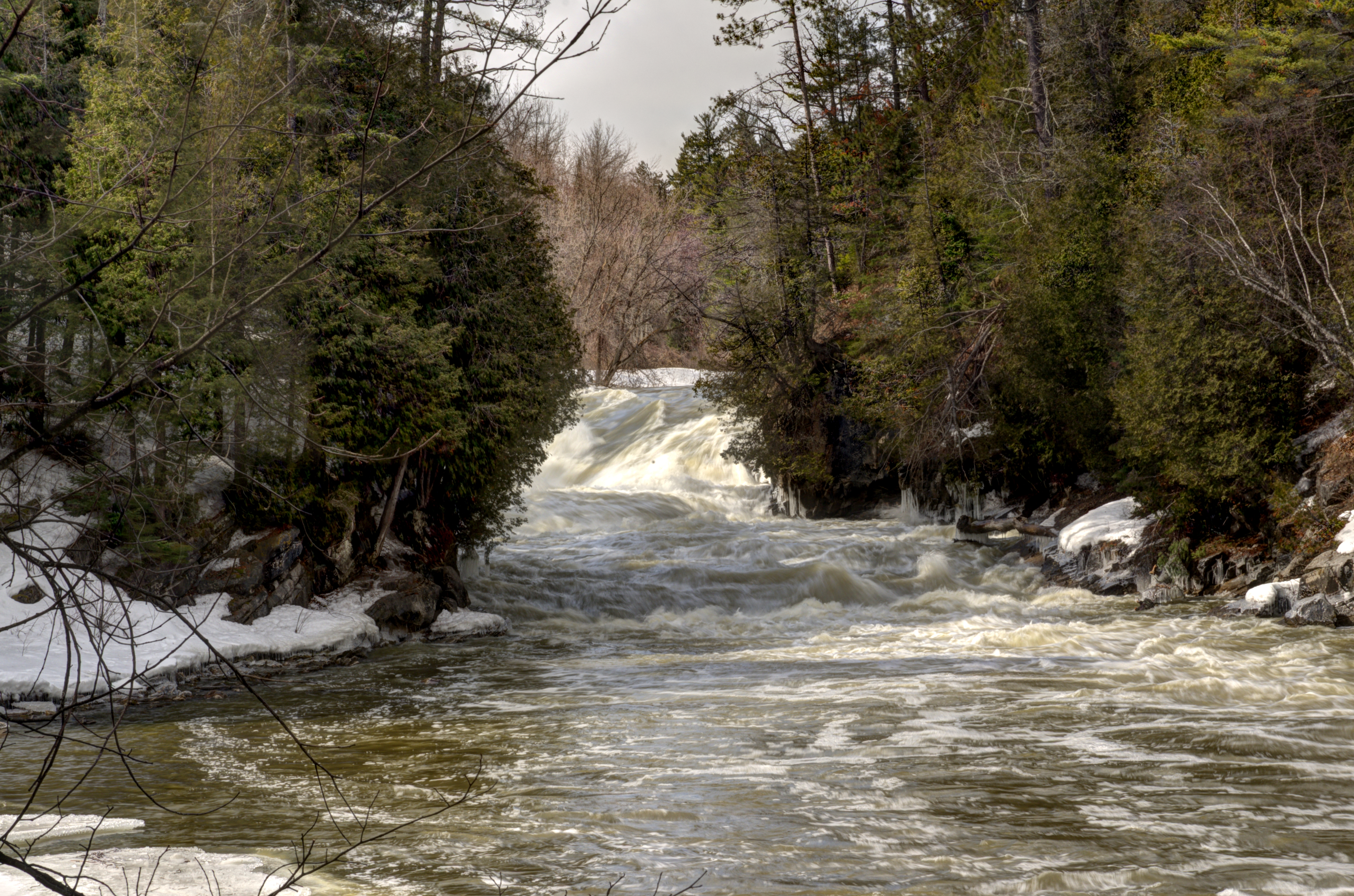
Bonnechere Falls (Adjusted) 1
365/63 Long Ago (DSC_0352_HDR)
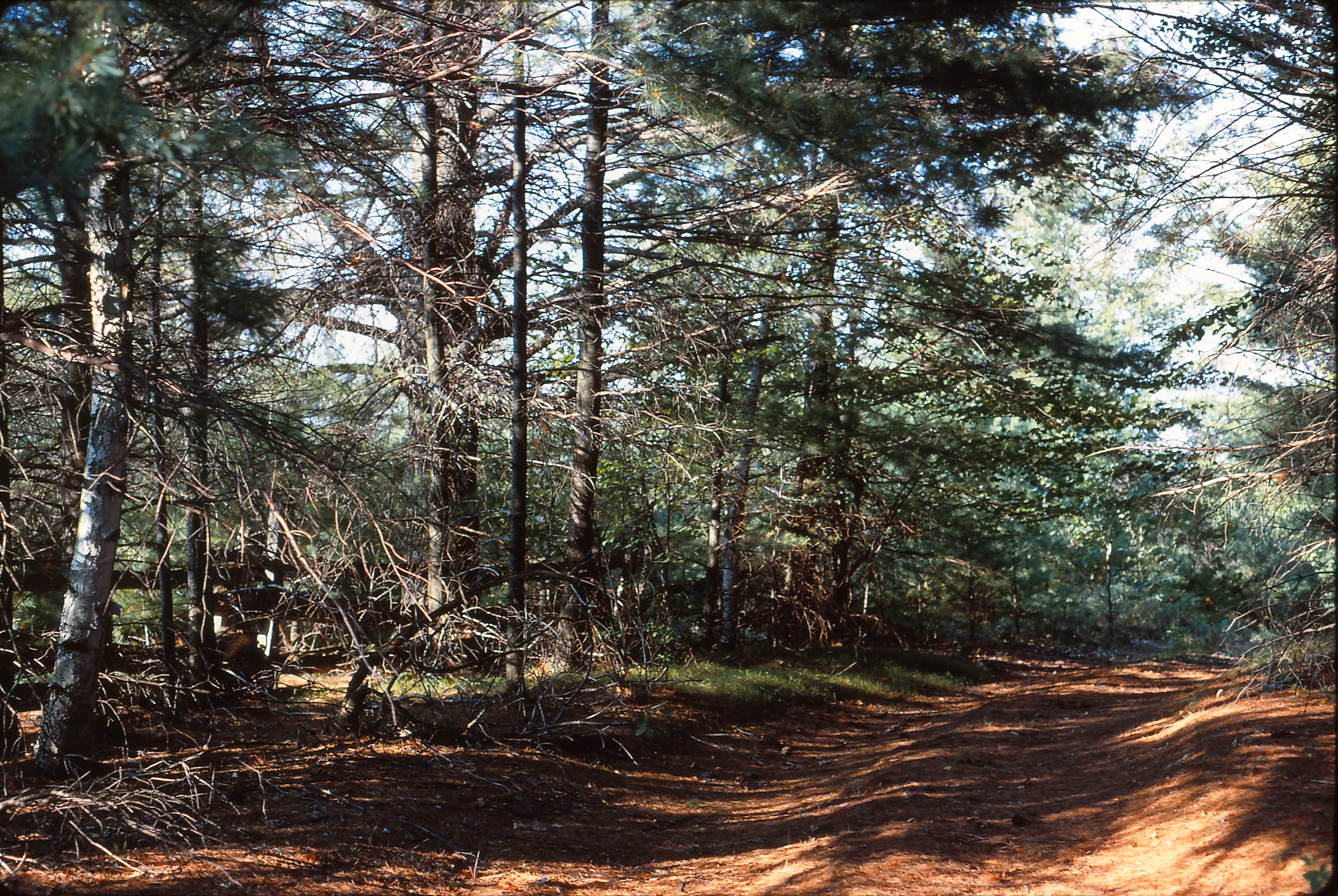
Brûlé Hills, July 1968
Topographic Map of Shawville, QC J0X, Canada
Find elevation by address:

Places near Shawville, QC J0X, Canada:
Municipality Of Clarendon
5 Concession
Clarendon
Route 303 Nord
Bristol
5 Rue Mile, Bristol, QC J0X 1G0, Canada
35 Thacker Ln
24 Rue De Sawdust Trail
Bristol
Mcnab/braeside
Braeside
784 Usborne St
785 Usborne St
35 Rue Reid
Campbell's Bay
Thorne
Litchfield
24 Rue Nelson, Portage-du-Fort, QC J0X 2T0, Canada
Thorne
40 Chemin Sparling, Campbell's Bay, QC J0X 1K0, Canada
Recent Searches:
- Elevation of Corso Fratelli Cairoli, 35, Macerata MC, Italy
- Elevation of Tallevast Rd, Sarasota, FL, USA
- Elevation of 4th St E, Sonoma, CA, USA
- Elevation of Black Hollow Rd, Pennsdale, PA, USA
- Elevation of Oakland Ave, Williamsport, PA, USA
- Elevation of Pedrógão Grande, Portugal
- Elevation of Klee Dr, Martinsburg, WV, USA
- Elevation of Via Roma, Pieranica CR, Italy
- Elevation of Tavkvetili Mountain, Georgia
- Elevation of Hartfords Bluff Cir, Mt Pleasant, SC, USA