Elevation of Shankarampet (R), Telangana, India
Location: India > Telangana > Medak >
Longitude: 78.4083949
Latitude: 17.9845242
Elevation: 532m / 1745feet
Barometric Pressure: 95KPa
Elevation Map:
Satellite Map:
Related Photos:
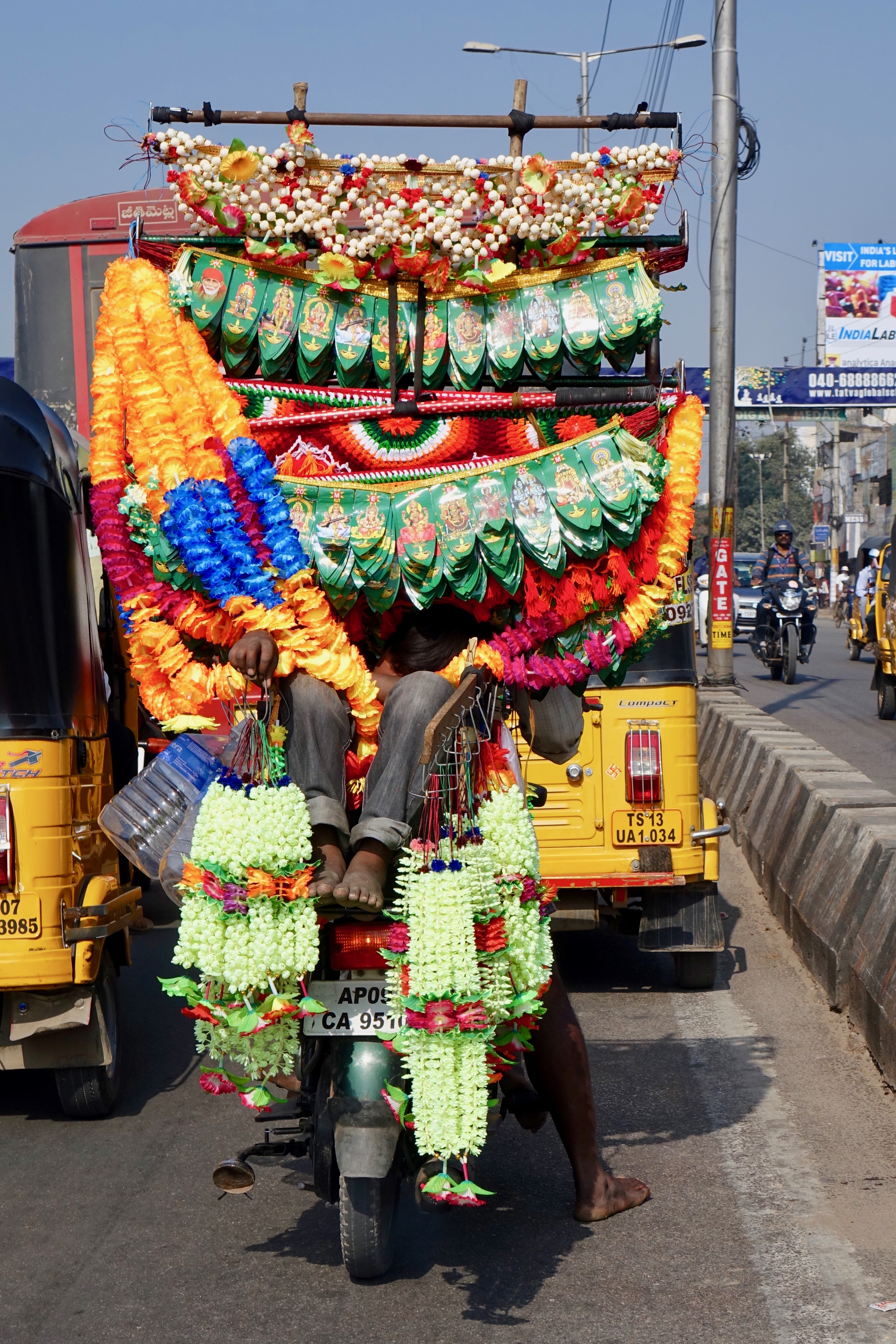
Short Nap - Toran Seller

Sitaphal Sellers
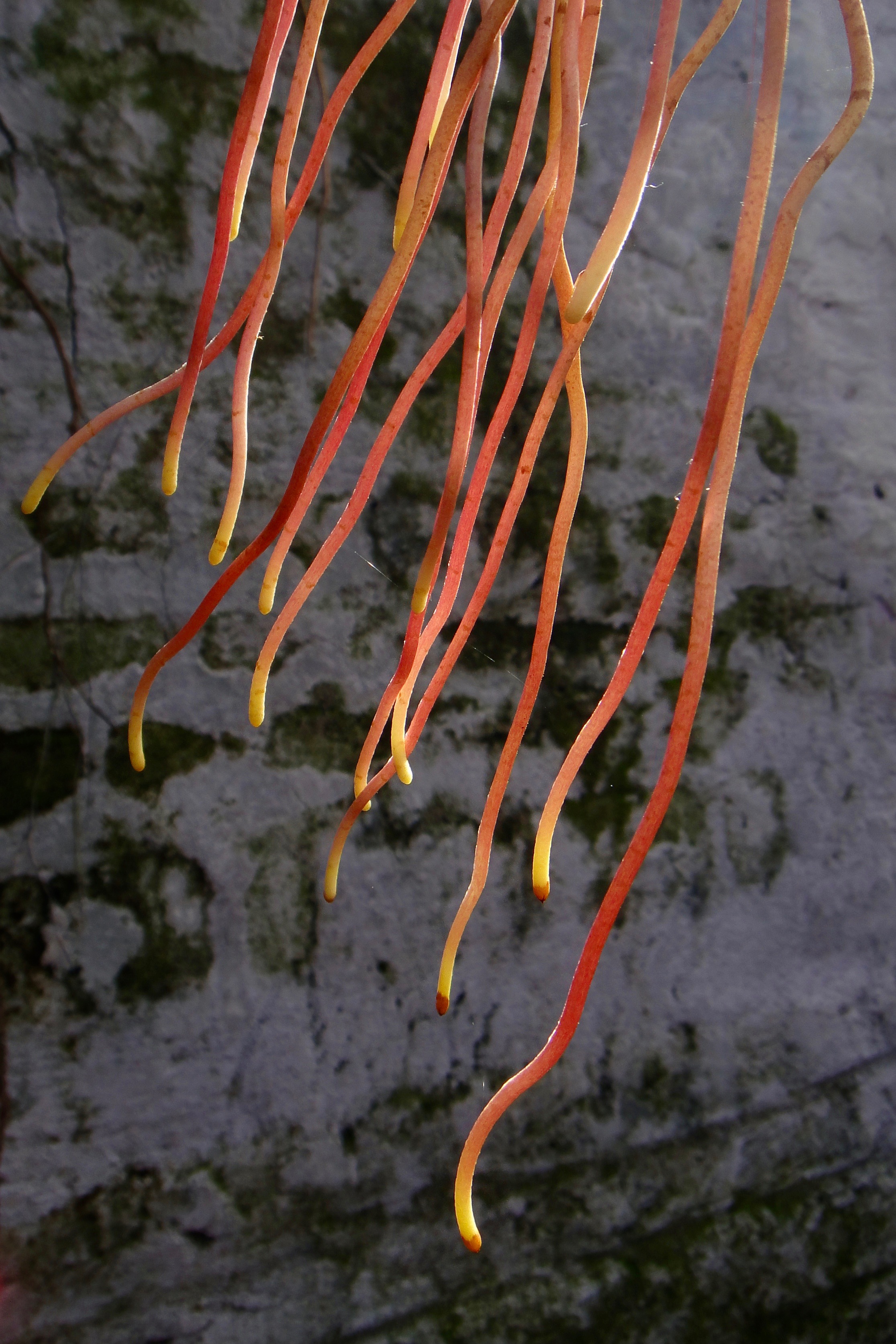
Aerial Roots of a Banyan Tree

Travel Diaries

Darshan and Shruti
Topographic Map of Shankarampet (R), Telangana, India
Find elevation by address:

Places near Shankarampet (R), Telangana, India:
Chegunta
Ramayampet
Medak
Ravelli
Shivampet
Bhiknoor
Kulcharam
Kowdipally Dental Clinic
Kowdipally
Kothapalle
Domakonda
Mirdoddi
Gajwel
Thoguta
Medak
Dubbak
Daulatabad
Ravalkole
Annaram
Medchal
Recent Searches:
- Elevation of Martins Mill Ct, Eagle Rock, NC, USA
- Elevation of Kippen, Stirling FK8, UK
- Elevation of Sieveringer Straße, Sieveringer Str., Wien, Austria
- Elevation of Bratskaya Ulitsa, 24, Kurgan, Kurganskaya oblast', Russia
- Elevation of Paradisvegen, Biri, Norway
- Elevation of Crystal Cir, Birmingham, AL, USA
- Elevation of N Railroad Ave, West Palm Beach, FL, USA
- Elevation of 55 Cassick Valley Rd, Wellfleet, MA, USA
- Elevation of Ironwood Dr, Minden, NV, USA
- Elevation of 高尾山口駅, Takaomachi, Hachioji, Tokyo -, Japan