Elevation of Ravelli, Telangana, India
Location: India > Telangana > Medak >
Longitude: 78.478036
Latitude: 17.8209595
Elevation: 554m / 1818feet
Barometric Pressure: 95KPa
Elevation Map:
Satellite Map:
Related Photos:

Travel Diaries

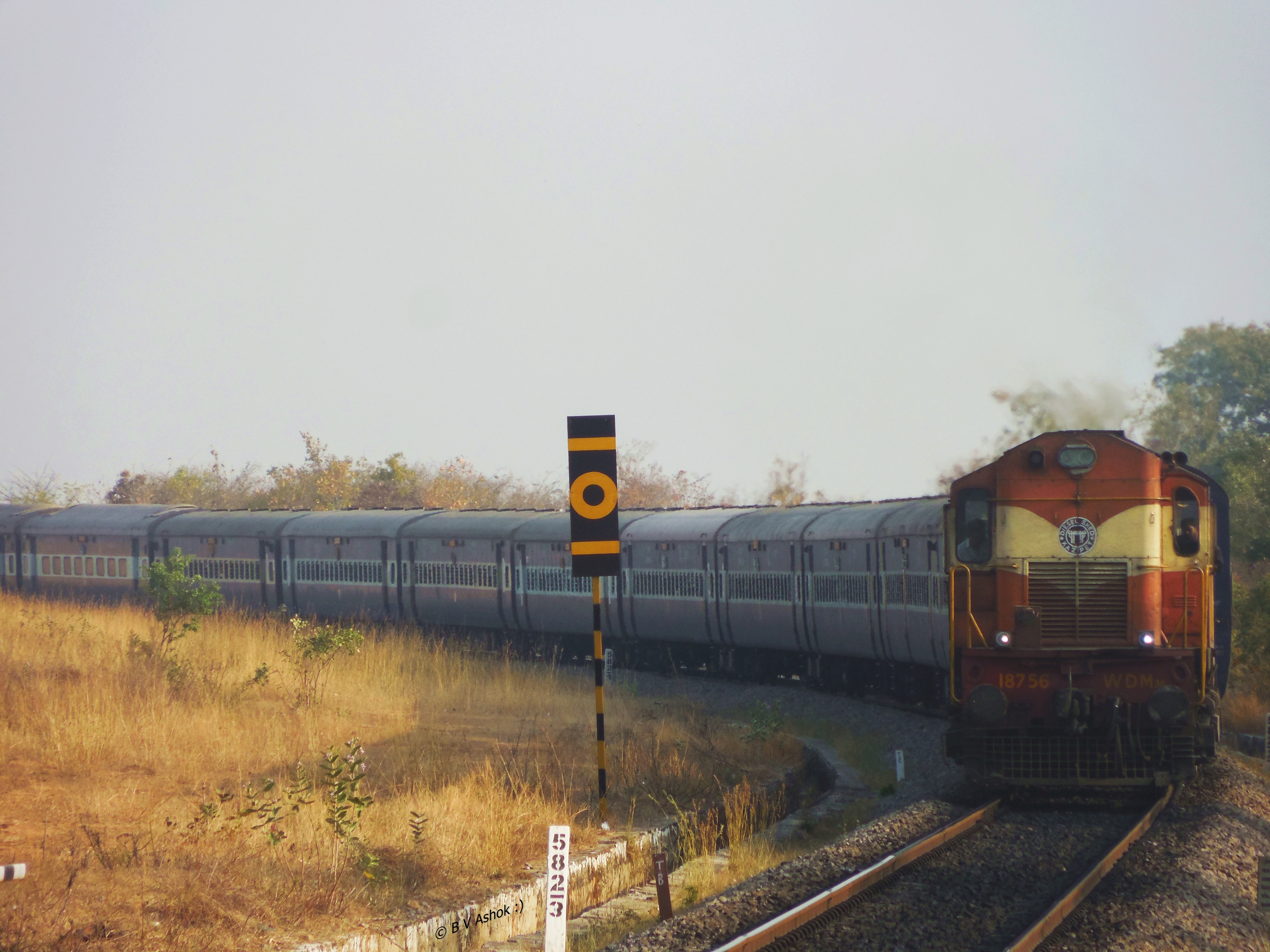
MZL - KCG Pass.
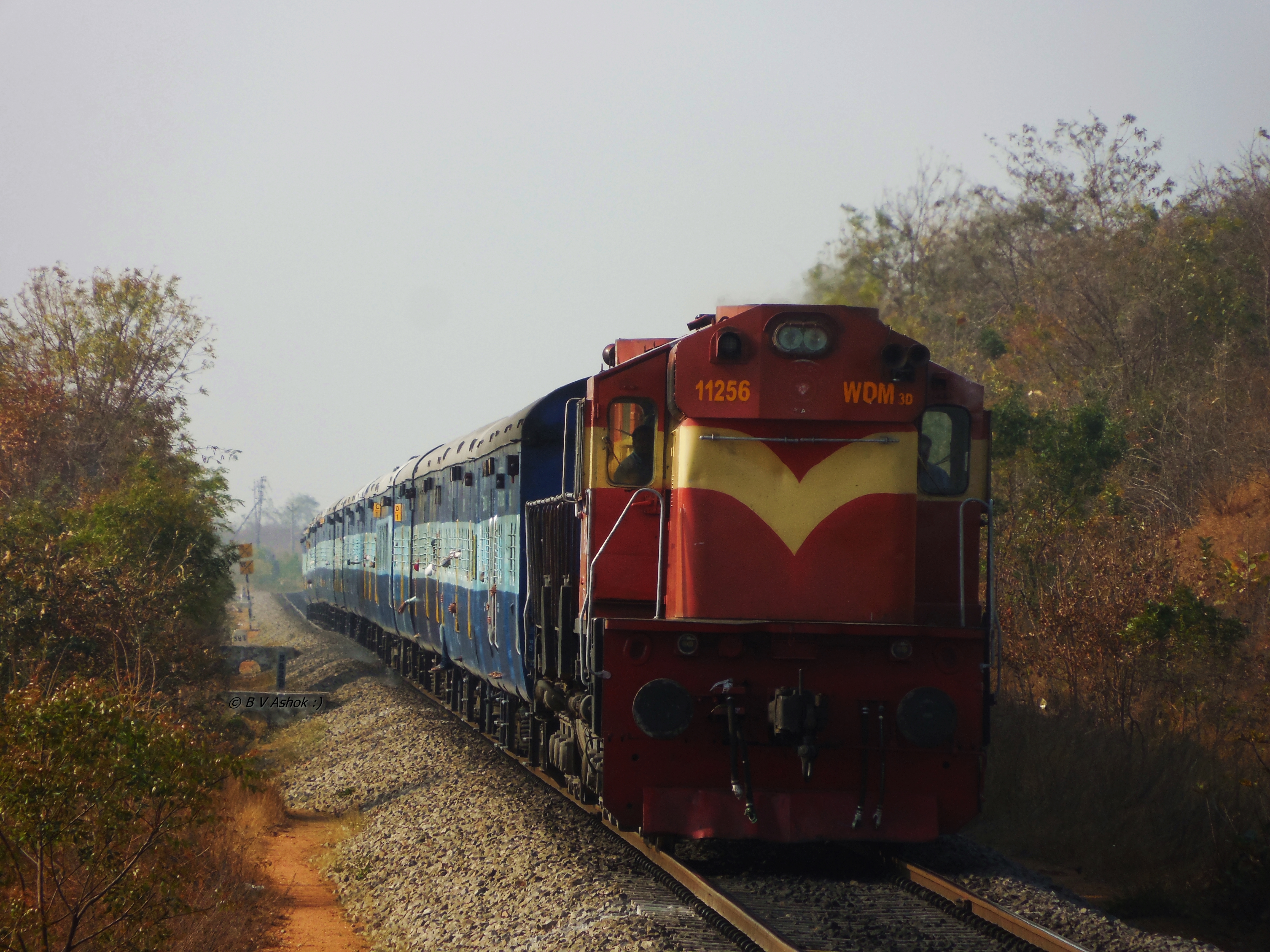
SNSI - VSKP Exp.
KCG - AK ICE

RK Business School

Threesome. Toopran, July 2013
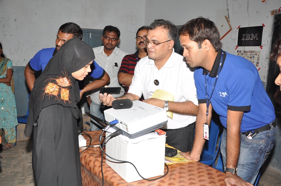
Demo on Education Help Life
Topographic Map of Ravelli, Telangana, India
Find elevation by address:

Places near Ravelli, Telangana, India:
Shivampet
Chegunta
Ravalkole
Shankarampet (r)
Medchal
Gajwel
Annaram
Konda Pochamma Sagar Reservoir
Kowdipally
Kowdipally Dental Clinic
Daulatabad
Gajularamaram
Ramayampet
Lakadwala Colony
Thoguta
7-136/2
Kulcharam
Mallikarjuna Temple
Medak
Mirdoddi
Recent Searches:
- Elevation of Duckhorn Ct, Las Vegas, NV, USA
- Elevation of Garretts Run Rd, Ford City, PA, USA
- Elevation of N WI-55, Freedom, WI, USA
- Elevation map of Hadiya, Ethiopia
- Elevation of Hosaina, Ethiopia
- Elevation of Verde Terrace, North Port, FL, USA
- Elevation of US-, Leesburg, FL, USA
- Elevation of Summit Dr, Kerrville, TX, USA
- Elevation of Hanson Rd, Cedaredge, CO, USA
- Elevation of Maxine St NE, Albuquerque, NM, USA