Elevation of Shake Rag Rd, Clinton, AR, USA
Location: United States > Arkansas > Van Buren County > West Griggs Township > Clinton >
Longitude: -92.461721
Latitude: 35.578408
Elevation: 205m / 673feet
Barometric Pressure: 99KPa
Elevation Map:
Satellite Map:
Related Photos:

Pee Dee Creek-Side View

Deck View- Weaver Creek

#early #morning view of the #courthouse #townsquare in #downtown #clinton #arkansas #igersarkansas

Indian Falls, Wild Horse Canyon

Natural Bridge, Clinton, AR

This weekend we took a ferry out on the lake to an mountain/island. It was a perfect opportunity for #whpfoggy

Fairfield Bay Marina

Waterfall Chasing

CHUCKWAGON RACES

CHUCKWAGON RACES

CHUCKWAGON RACES

Strange tree

Southern Ozark Landscape (Conway County, Arkansas)

CHUCKWAGON RACES
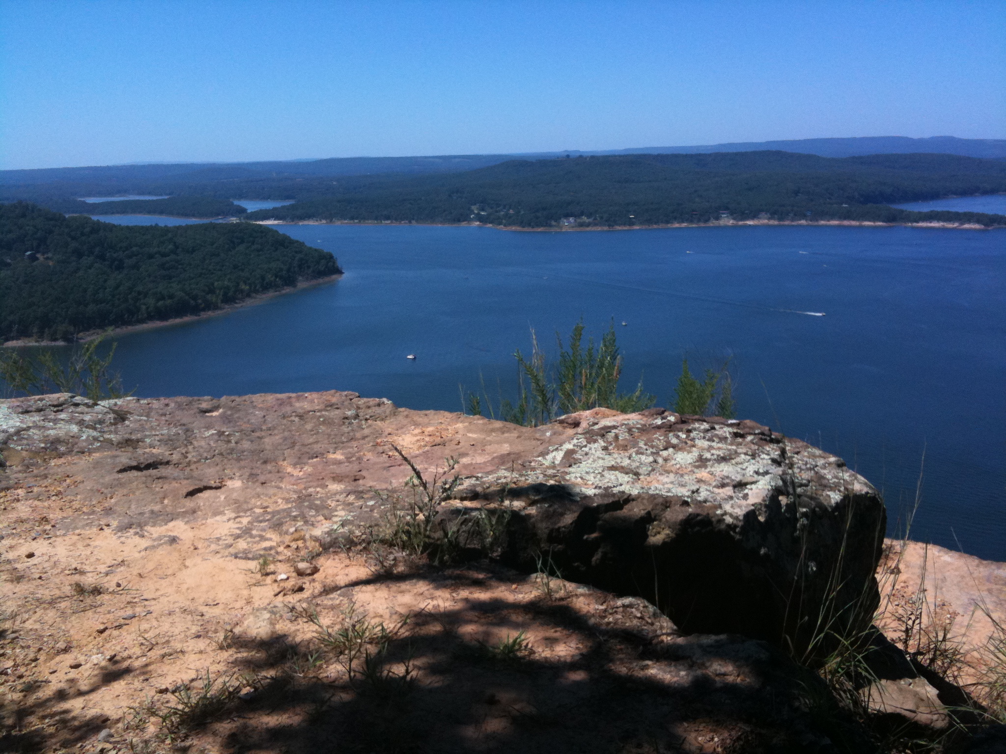
Greer's Ferry Lake

Tick trail
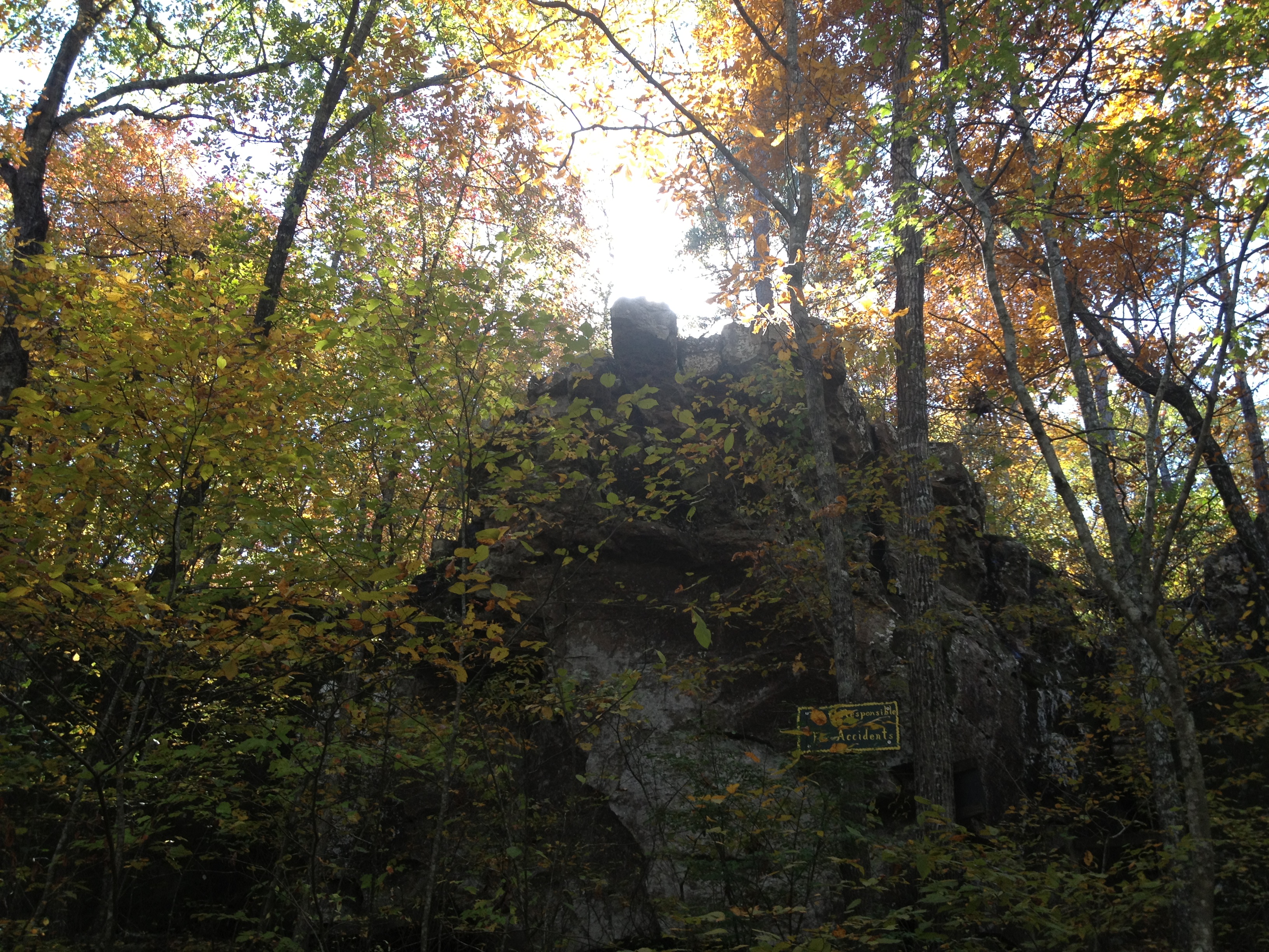
Natural Bridge

Choctaw Rec Area Sunrise
Topographic Map of Shake Rag Rd, Clinton, AR, USA
Find elevation by address:

Places near Shake Rag Rd, Clinton, AR, USA:
717 Ar-16
2848 Shake Rag Rd
Culpepper Township
2029 Ar-16
431 Gamble Rd
West Griggs Township
Clinton, AR, USA
4057 Ar-16
4799 Ar-16
189 Greta Rd
Ar Hwy W, Clinton, AR, USA
Van Buren County
Fayette Road
AR-95, Clinton, AR, USA
2646 Watergate Rd
Ar 65 Hwy N, Clinton, AR, USA
10766 Ar-16
10766 Ar-16
Craig Township
Mountain Township
Recent Searches:
- Elevation of Calais Dr, Del Mar, CA, USA
- Elevation of Placer Mine Ln, West Jordan, UT, USA
- Elevation of E 63rd St, New York, NY, USA
- Elevation of Elk City, OK, USA
- Elevation of Erika Dr, Windsor, CA, USA
- Elevation of Village Ln, Finleyville, PA, USA
- Elevation of 24 Oakland Rd #, Scotland, ON N0E 1R0, Canada
- Elevation of Deep Gap Farm Rd E, Mill Spring, NC, USA
- Elevation of Dog Leg Dr, Minden, NV, USA
- Elevation of Dog Leg Dr, Minden, NV, USA