Elevation of AR-16, Clinton, AR, USA
Location: United States > Arkansas > Van Buren County > West Griggs Township > Clinton >
Longitude: -92.492046
Latitude: 35.6100009
Elevation: 341m / 1119feet
Barometric Pressure: 97KPa
Elevation Map:
Satellite Map:
Related Photos:

Pee Dee Creek-Side View

Deck View- Weaver Creek

#early #morning view of the #courthouse #townsquare in #downtown #clinton #arkansas #igersarkansas

Waterfall Chasing

CHUCKWAGON RACES

CHUCKWAGON RACES

CHUCKWAGON RACES

CHUCKWAGON RACES

Natural Bridge, Clinton, AR
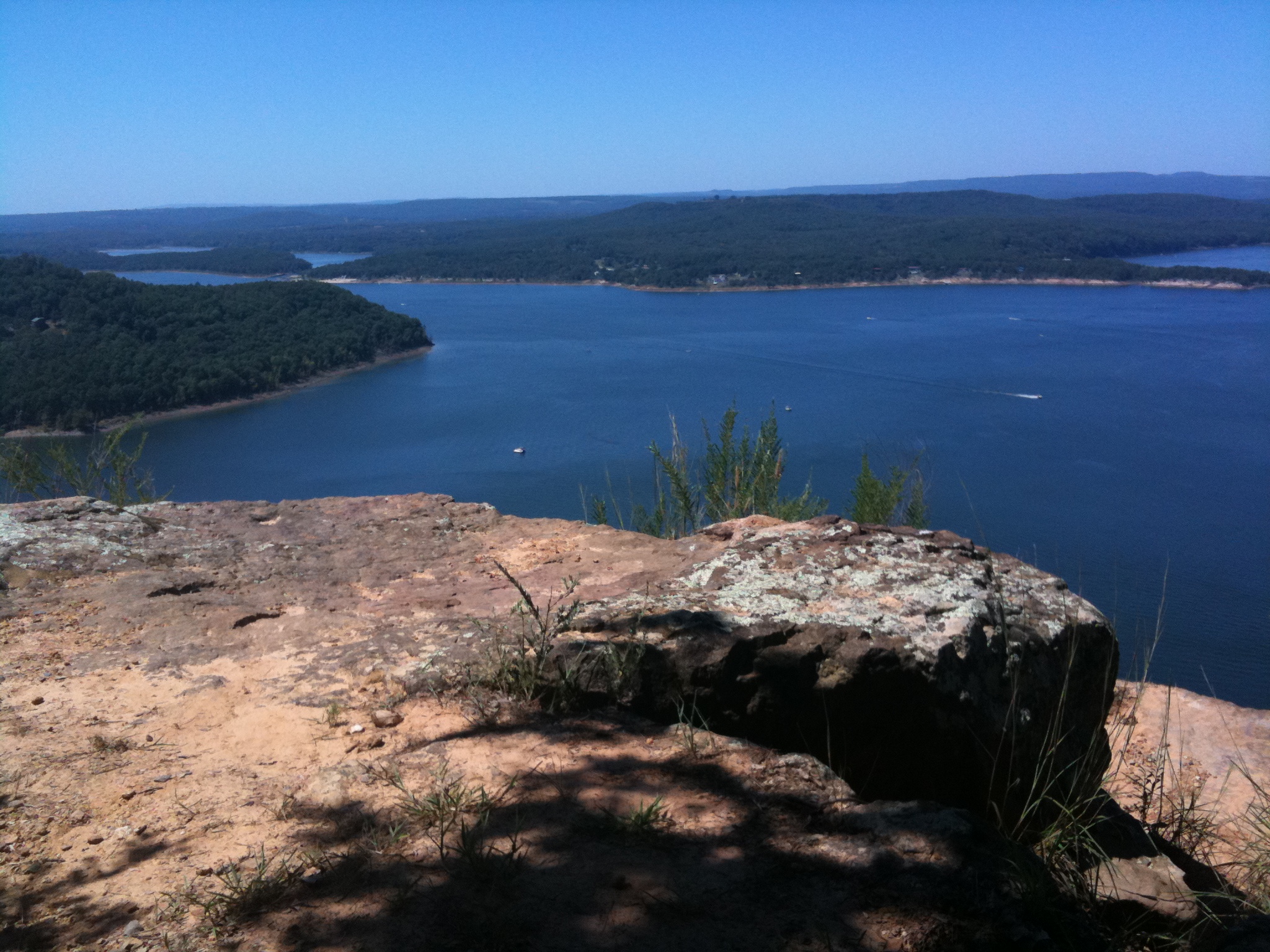
Greer's Ferry Lake
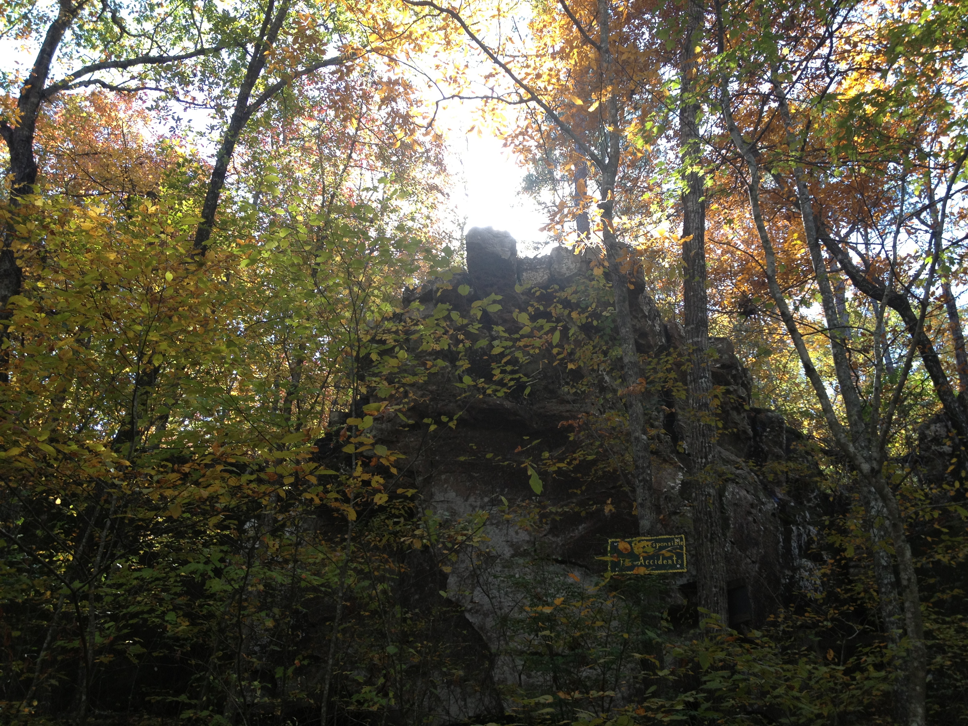
Natural Bridge

Choctaw Rec Area Sunrise

Hanging out. :-)
Topographic Map of AR-16, Clinton, AR, USA
Find elevation by address:

Places near AR-16, Clinton, AR, USA:
West Griggs Township
717 Ar-16
4057 Ar-16
Clinton, AR, USA
431 Gamble Rd
2848 Shake Rag Rd
4799 Ar-16
744 Shake Rag Rd
189 Greta Rd
Van Buren County
2646 Watergate Rd
Culpepper Township
Fayette Road
Ar 65 Hwy N, Clinton, AR, USA
AR-95, Clinton, AR, USA
10766 Ar-16
10766 Ar-16
Ar Hwy W, Clinton, AR, USA
Mountain Township
Craig Township
Recent Searches:
- Elevation of Elk City, OK, USA
- Elevation of Erika Dr, Windsor, CA, USA
- Elevation of Village Ln, Finleyville, PA, USA
- Elevation of 24 Oakland Rd #, Scotland, ON N0E 1R0, Canada
- Elevation of Deep Gap Farm Rd E, Mill Spring, NC, USA
- Elevation of Dog Leg Dr, Minden, NV, USA
- Elevation of Dog Leg Dr, Minden, NV, USA
- Elevation of Kambingan Sa Pansol Atbp., Purok 7 Pansol, Candaba, Pampanga, Philippines
- Elevation of Pinewood Dr, New Bern, NC, USA
- Elevation of Mountain View, CA, USA