Elevation of Severy, KS, USA
Location: United States > Kansas > Greenwood County > Twin Grove >
Longitude: -96.228052
Latitude: 37.6222547
Elevation: 341m / 1119feet
Barometric Pressure: 97KPa
Elevation Map:
Satellite Map:
Related Photos:

lake view

Wedding Cake

Shine a Light

Milky Way Church

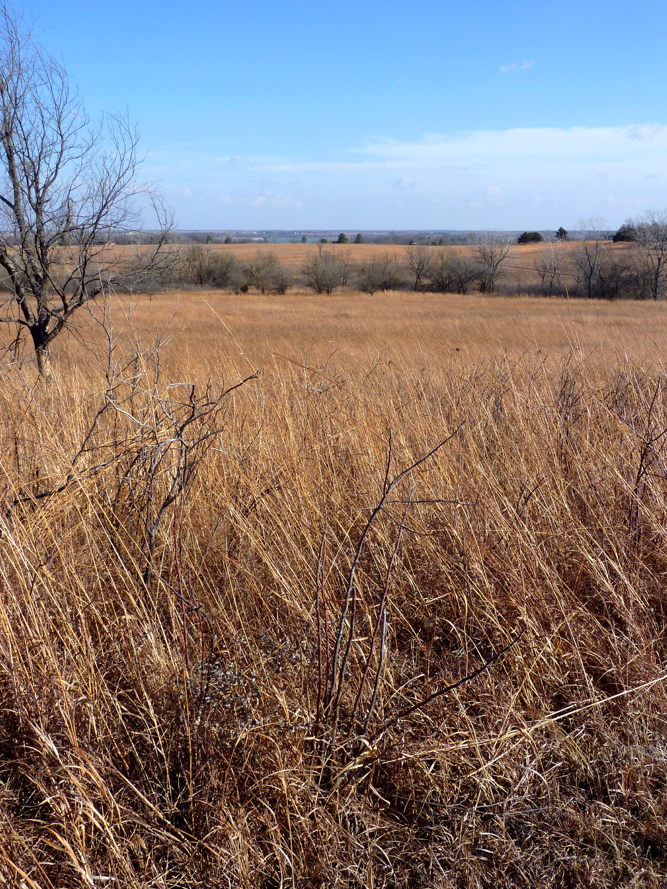
Mown Trail
First Glimpse of Fall River Lake from the Casner Creek Trail

Objects in Mirror are Faster Than They Appear
SEK (74)
SEK (73)

SEK (76)

SEK (75)

SEK (78)

SEK (77)

SEK (79)
SEK (80)

SEK (83)

SEK (81)
SEK (82)

SEK (86)

SEK (87)

SEK (89)
SEK (85)

SEK (93)

SEK (90)
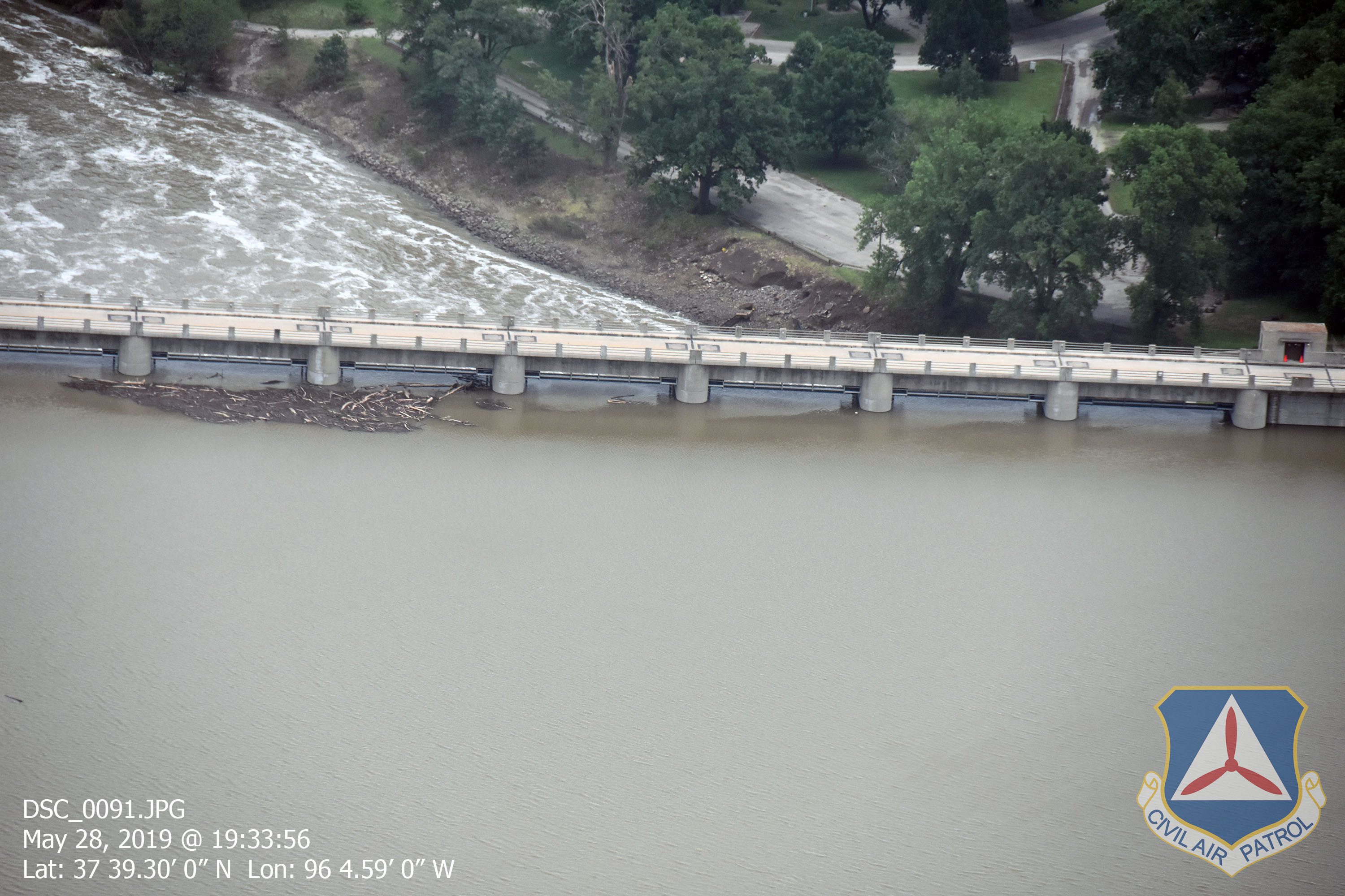
SEK (91)

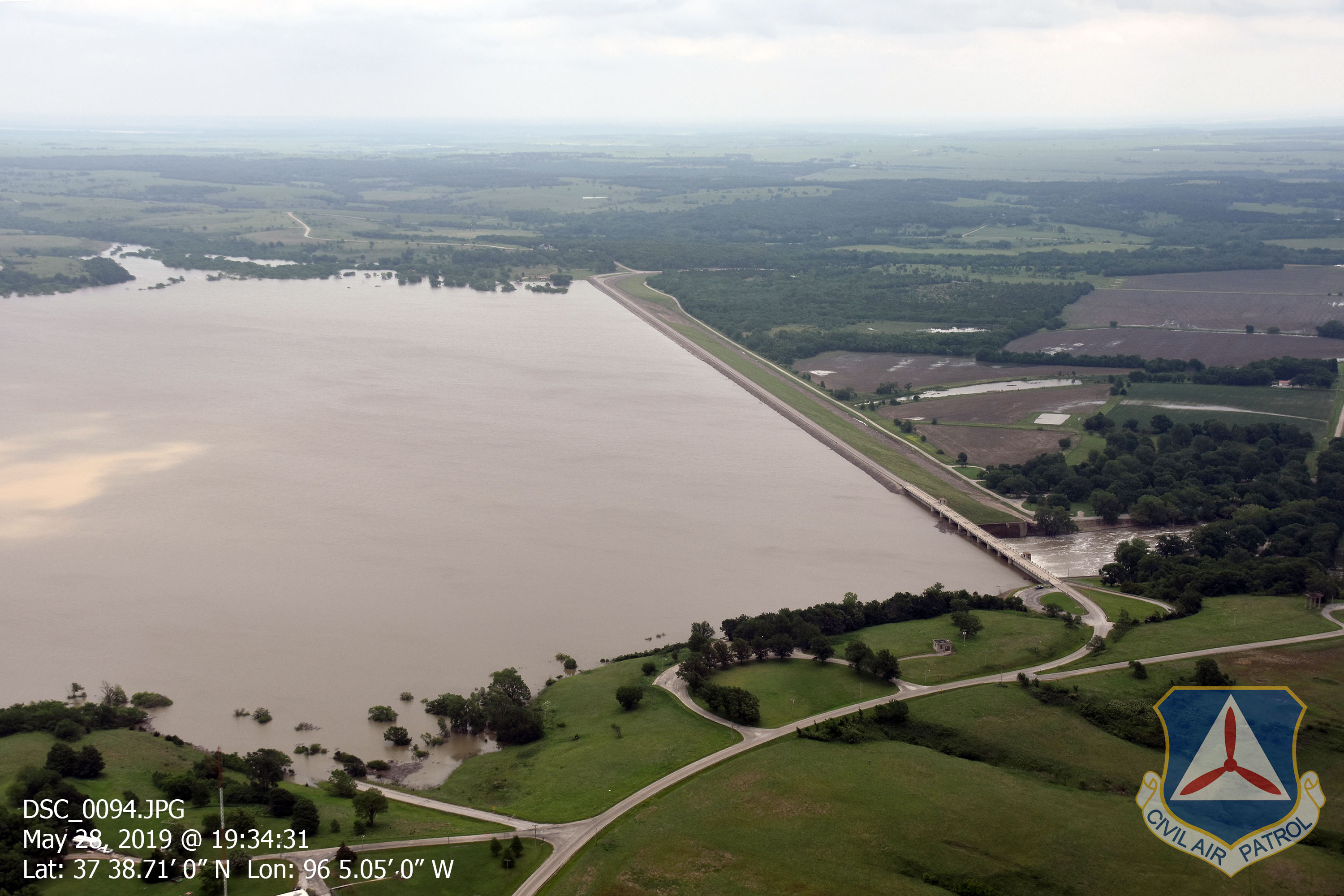
SEK (92)

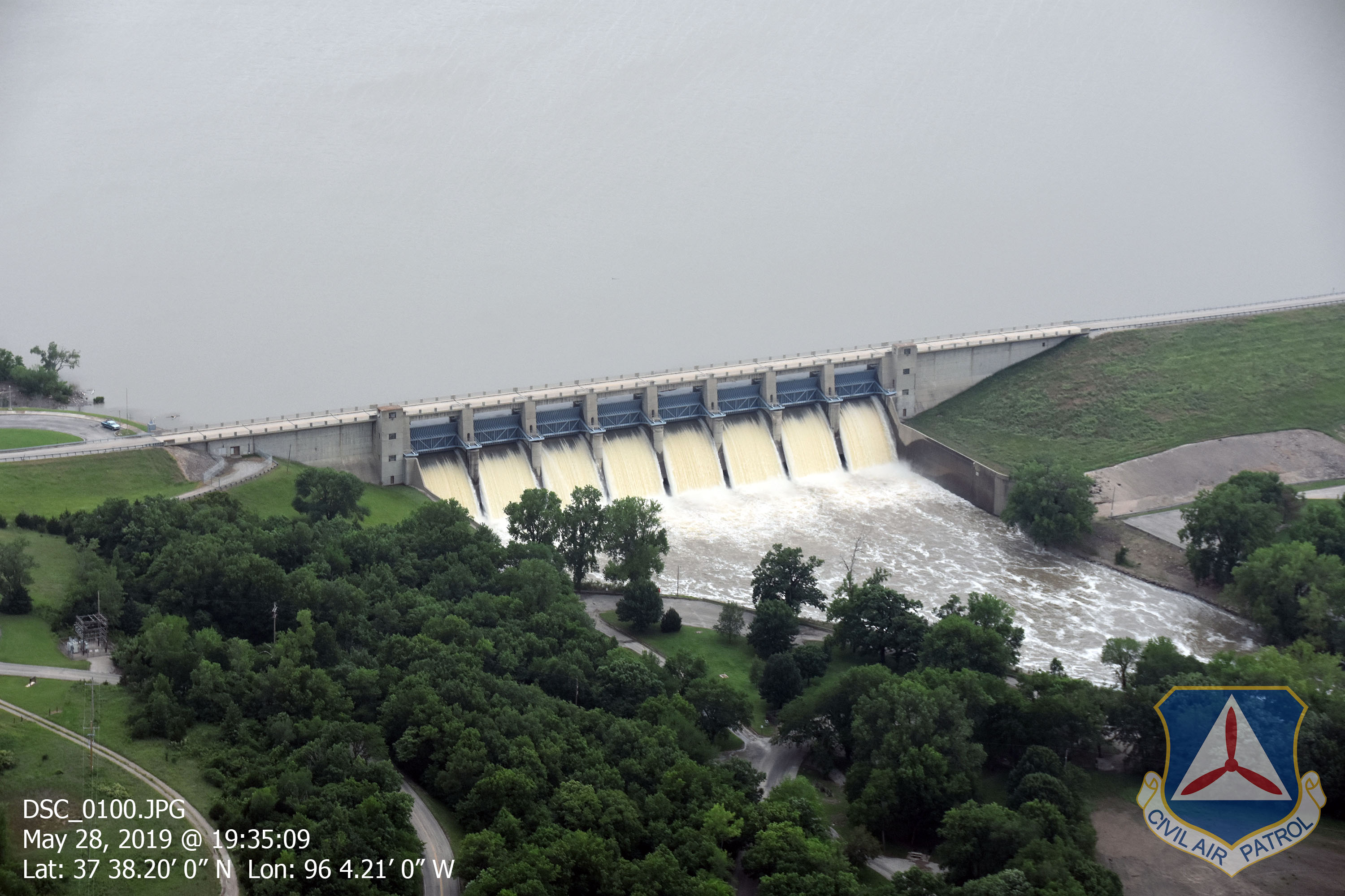
SEK (95)
Topographic Map of Severy, KS, USA
Find elevation by address:

Places near Severy, KS, USA:
Martin Marietta - Blake Quarry
Twin Grove
Fall River
4th St, Climax, KS, USA
Climax
802 9th St
Howard
Fall River Lake
E Elk St, Howard, KS, USA
Howard
Fall River, KS, USA
Salt Springs
Fall River
Eureka
Otter Creek
Elk County
Wildcat Creek Waterfalls
Moline
Wildcat
Greenwood County
Recent Searches:
- Elevation of Beall Road, Beall Rd, Florida, USA
- Elevation of Leguwa, Nepal
- Elevation of County Rd, Enterprise, AL, USA
- Elevation of Kolchuginsky District, Vladimir Oblast, Russia
- Elevation of Shustino, Vladimir Oblast, Russia
- Elevation of Lampiasi St, Sarasota, FL, USA
- Elevation of Elwyn Dr, Roanoke Rapids, NC, USA
- Elevation of Congressional Dr, Stevensville, MD, USA
- Elevation of Bellview Rd, McLean, VA, USA
- Elevation of Stage Island Rd, Chatham, MA, USA