Elevation of 4th St, Climax, KS, USA
Location: United States > Kansas > Greenwood County > Fall River > Climax >
Longitude: -96.222431
Latitude: 37.7195914
Elevation: 318m / 1043feet
Barometric Pressure: 98KPa
Elevation Map:
Satellite Map:
Related Photos:
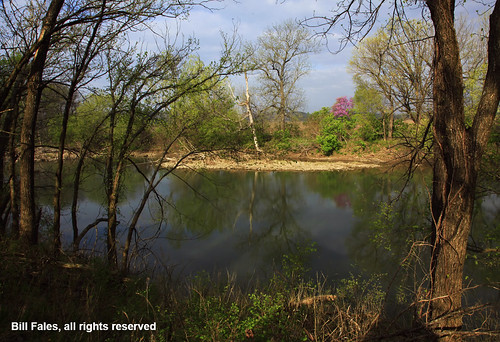
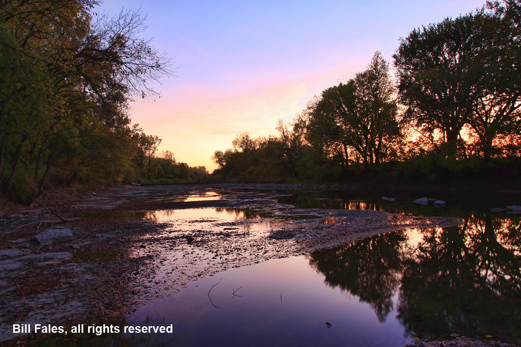
River Reflection _MG_7653R
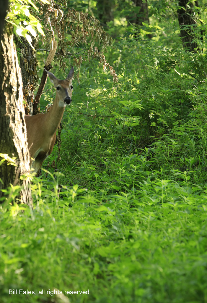
Curious Visitor _MG_1946R
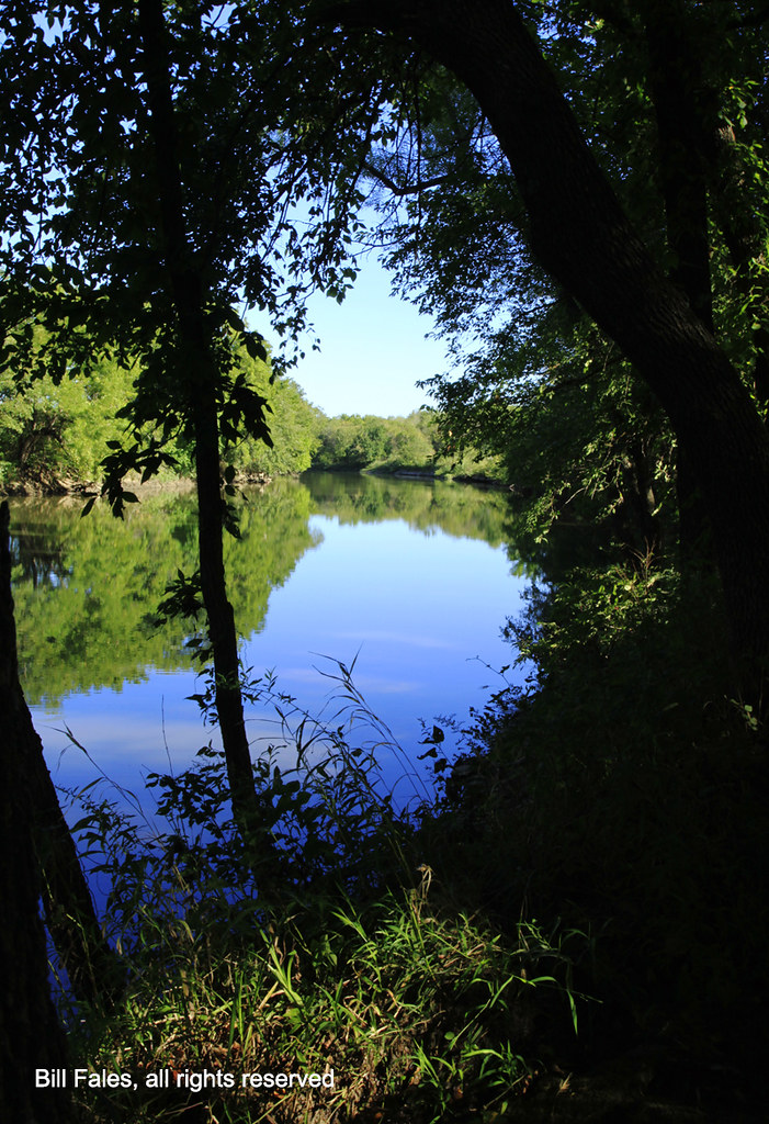
Summer on Fall River _MG_2360R

Sunlit Wheat Field IMG_3555R
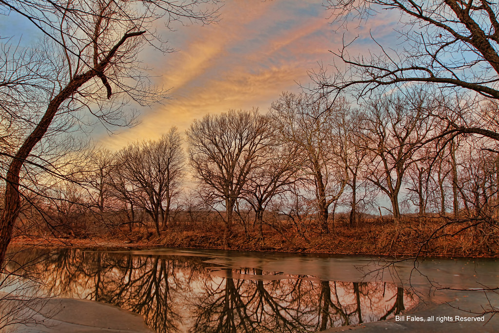
Sunrise Reflection R
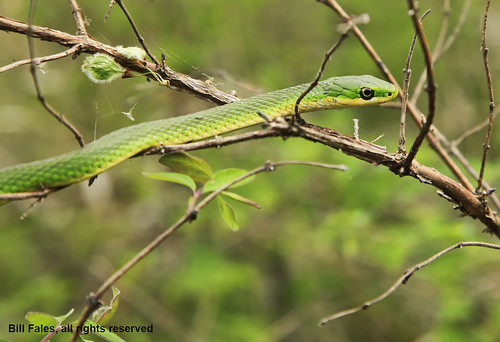
Rough Green Snake _MG_7663R

Mown Trail
Eureka Downs
First Glimpse of Fall River Lake from the Casner Creek Trail

Toronto, KS Hydro Pole Damage-9
Autumn Color _MG_7410R
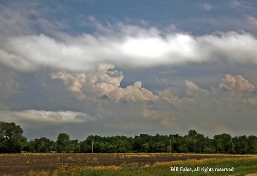
Forming Storm _MG_4289R
Topographic Map of 4th St, Climax, KS, USA
Find elevation by address:

Places near 4th St, Climax, KS, USA:
Climax
Fall River
Twin Grove
Martin Marietta - Blake Quarry
Severy
Eureka
Fall River Lake
802 9th St
Salt Springs
Greenwood County
Fall River, KS, USA
Fall River
Hamilton
Otter Creek
Howard
E Elk St, Howard, KS, USA
Howard
Courtney's Places
Toronto
N Jackson St, Toronto, KS, USA
Recent Searches:
- Elevation of W Granada St, Tampa, FL, USA
- Elevation of Pykes Down, Ivybridge PL21 0BY, UK
- Elevation of Jalan Senandin, Lutong, Miri, Sarawak, Malaysia
- Elevation of Bilohirs'k
- Elevation of 30 Oak Lawn Dr, Barkhamsted, CT, USA
- Elevation of Luther Road, Luther Rd, Auburn, CA, USA
- Elevation of Unnamed Road, Respublika Severnaya Osetiya — Alaniya, Russia
- Elevation of Verkhny Fiagdon, North Ossetia–Alania Republic, Russia
- Elevation of F. Viola Hiway, San Rafael, Bulacan, Philippines
- Elevation of Herbage Dr, Gulfport, MS, USA