Elevation of Fall River Lake, Kansas, USA
Location: United States > Kansas > Greenwood County >
Longitude: -96.073214
Latitude: 37.6579954
Elevation: -10000m / -32808feet
Barometric Pressure: 295KPa
Elevation Map:
Satellite Map:
Related Photos:

End of the Chase
Lake View from Catclaw Trail

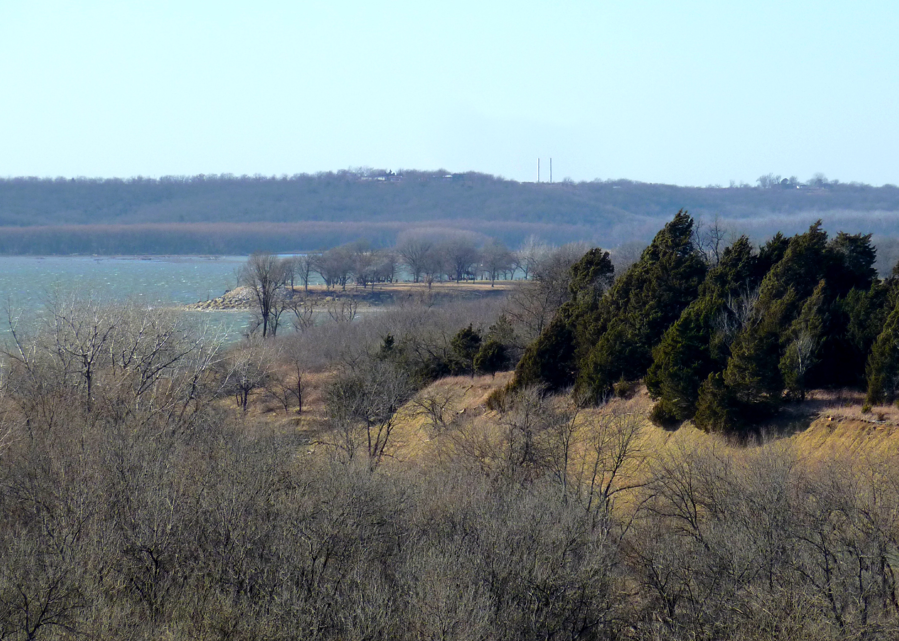
lake view

Old U.S. 54

Old U.S. 54

Along old Highway 54

Old U.S. 54

Mown Trail

Along old Highway 54
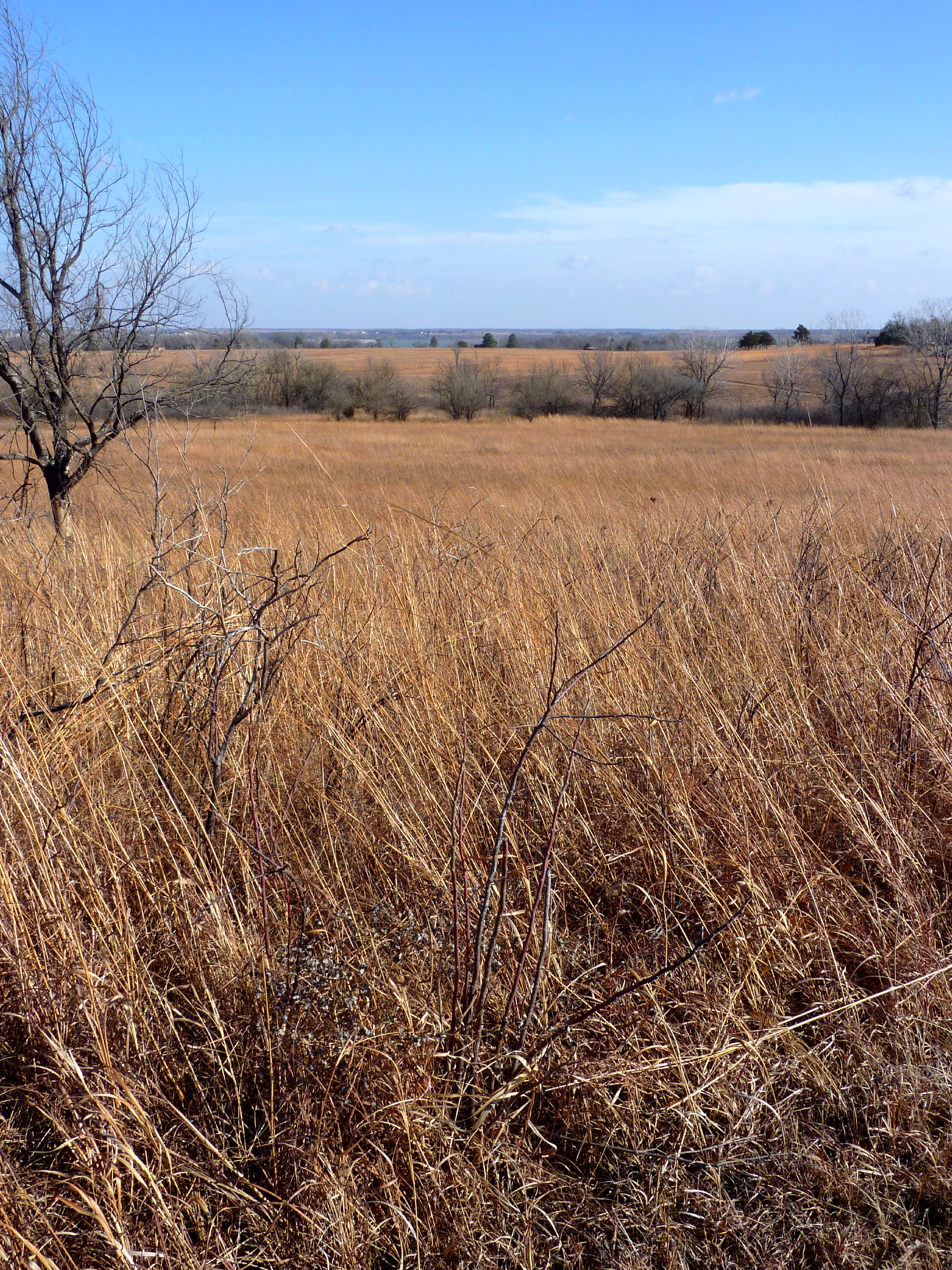
First Glimpse of Fall River Lake from the Casner Creek Trail

Along old Highway 54

Old U.S. 54

Old U.S. 54
Topographic Map of Fall River Lake, Kansas, USA
Find elevation by address:

Places near Fall River Lake, Kansas, USA:
Salt Springs
Fall River, KS, USA
Fall River
Fall River
Twin Grove
Martin Marietta - Blake Quarry
Severy
4th St, Climax, KS, USA
Climax
New Albany
Main St, New Albany, KS, USA
Fall River
Courtney's Places
Toronto
N Jackson St, Toronto, KS, USA
Toronto
820 Coyote Rd
Prairie
Howard
Greenwood County
Recent Searches:
- Elevation of 15th Ave SE, St. Petersburg, FL, USA
- Elevation of Beall Road, Beall Rd, Florida, USA
- Elevation of Leguwa, Nepal
- Elevation of County Rd, Enterprise, AL, USA
- Elevation of Kolchuginsky District, Vladimir Oblast, Russia
- Elevation of Shustino, Vladimir Oblast, Russia
- Elevation of Lampiasi St, Sarasota, FL, USA
- Elevation of Elwyn Dr, Roanoke Rapids, NC, USA
- Elevation of Congressional Dr, Stevensville, MD, USA
- Elevation of Bellview Rd, McLean, VA, USA