Elevation of SE Hauglum Rd, Boring, OR, USA

Location: United States > Oregon > Clackamas County > Boring >

Longitude: -122.29883

Latitude: 45.436715

Elevation: 212m / 696feet

Barometric Pressure: 99KPa

Elevation Map:

elevation map of SE Hauglum Rd, Boring, OR, USA

Satellite Map:

Satellite map of SE Hauglum Rd, Boring, OR, USA

Related Photos:

vistahouse columbiarivergorge eric ericgail canon 6d sky architechture oregon portland
The Vista House
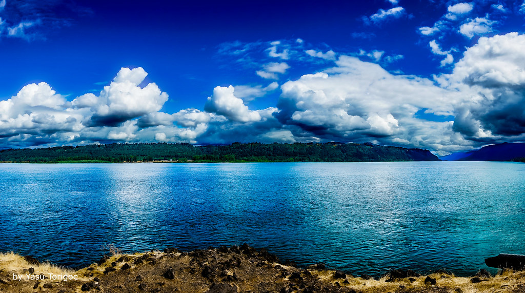
View of Columbia River Near Portland OR USA-5a
view gorge columbia columbiarivergorge womens womansforum vista vistahouse rainbow water river trees tree green light sunlight clouds weather rain tripod oregon statepark canon cats
Rainbow in the Columbia River Gorge
Rainy Day over the Columbia River Near Portland OR USA-7a
Rainy Day Looking Towards Latourell Fall Near Portland OR USA-6a (in Explore)
columbiagorge latourellbridge oregon autumn fall bridge pacificnorthwest garyquay latourellfalls hcrh historiccolumbiariverhighway
Latourell Falls Bridge, Columbia Gorge, Oregon
crownpoint columbiagorge oregon washington pacificnorthwest nature landscape columbiariver winter clouds cloudporn light storm sunset nikon garyquay bw
The Columbia Gorge from Crown Point, Dec 2019
statepark usa building station architecture oregon vintage point photo site highway view or scenic columbia historic hwy observatory vista historical crown register pioneers comfort crownpoint multnomah attraction oregonstate corbett vistahouse scenicdrive nrhp memoral onasill gorgeld multnomahcount
Vista House ~Oregon State ~ Columbia Gorge ~ My Old Photo
statepark usa mountain building field station stone architecture oregon vintage point landscape photo site highway view outdoor or hill scenic columbia historic hwy ridge observatory vista historical crown block register mountainside pioneers comfort crownpoint grassland multnomah attraction oregonstate corbett foothill vistahouse scenicdrive multnomahcounty nrhp memoral onasill gorgeld
Vista House ~Oregon State ~ Columbia Gorge ~ My Old Photo
nikond800e day8 capturenx2edited colorefexpro triptomountrainierandcolumbiarivergorge columbiarivergorge columbiarivergorgenationalscenicarea columbiariverhwy usroute30 historiccolumbiariverhighway historiccolumbiariverhighwayscenicbyway bridalveilfallsarea project365 nature portfolio canvas nationalscenicarea hillside hillsideoftrees trees aroundbridalveilfalls bridalveilcreek creek lookingsouth or unitedstates
Lush Green Colors Along the Bridal Veil Creek
longexposure sunset water rock clouds oregon canon river landscape or sigma columbia pacificnorthwest northamerica portlandoregon cpl columbiarivergorge desaturate circularpolarizerfilter neutraldensityfilter circularpolarizingfilter canoneos70d
Columbia River Sunset
multnomahcounty columbiarivergorge pacificnorthwest autumndrive fall vistahouse oregon
Vista House View - Historic Columbia River Highway in Autumn
nikond800e day8 capturenx2edited colorefexpro triptomountrainierandcolumbiarivergorge columbiarivergorge columbiarivergorgenationalscenicarea columbiariverhwy usroute30 historiccolumbiariverhighway historiccolumbiariverhighwayscenicbyway project365 nature portfolio canvas nationalscenicarea hillside hillsideoftrees trees blueskieswithclouds angelsrest mounthoodarea oregoncascades cascaderange pacificranges chanticleerpoint overlook columbiariver river lookingtovistahouse vistahouseoffindistance lookingtocrownpoint crownpointoffindistance portlandwomensforumstate sandisland lookingeast or unitedstates
Views of the Columbia River at Chanticleer Point
angelsrest aroundcrownpoint aroundvistahouse autumn blueskieswithclouds capturenx2edited carsdriving cascaderange colorefexpro colors columbiariver columbiarivergorge columbiarivergorgenationalscenicarea columbiariverhwy creek crownpointvistahouse day8 highway hillside hillsideoftrees historiccolumbiariverhighway historiccolumbiariverhighwayscenicbyway interstate84 lookingeast meadow mounthoodarea multiplecolors multitudeofplantleafcolors nationalscenicarea nature nikond800e onbalconydeckatvistahouse oregoncascades pacificranges pixelmator portfolio project365 river sandisland trees triptomountrainierandcolumbiarivergorge usroute30 vistahouse youngcreek or unitedstates
From Near to Far While Taking in the Gorge
gorge columbiariver corbett oregon unitedstatesofamerica
Columbia River Gorge
jonsurdpoint mthood oregon summer pacificnorthwest sunrise
The most I can do for my friend is simply be his friend…
sunset panorama oregon portland columbiariver goldenhour columbiarivergorge vistahouse women’sforumpark
Just living is not enough... one must have sunshine, freedom, and a little flower…
rain treasure view crownpoint columbiarivergorge odc1
Columbia River Gorge...
columbiarivergorge columbiagorge columbiariver oregon washington landscape scenic pacificnorthwest dramatic crownpoint oregonusstate washingtonstate scenery tourism famousplace nature beautyinnature clouds westernusa view viewpoint outdoors outside nopeople vacation outdoor travel beautiful natural cloudy sunset vista dramaticclouds color colorful trees water sky river vistahouse landmark summer season usa america geology hasselblad 500cm garyquay
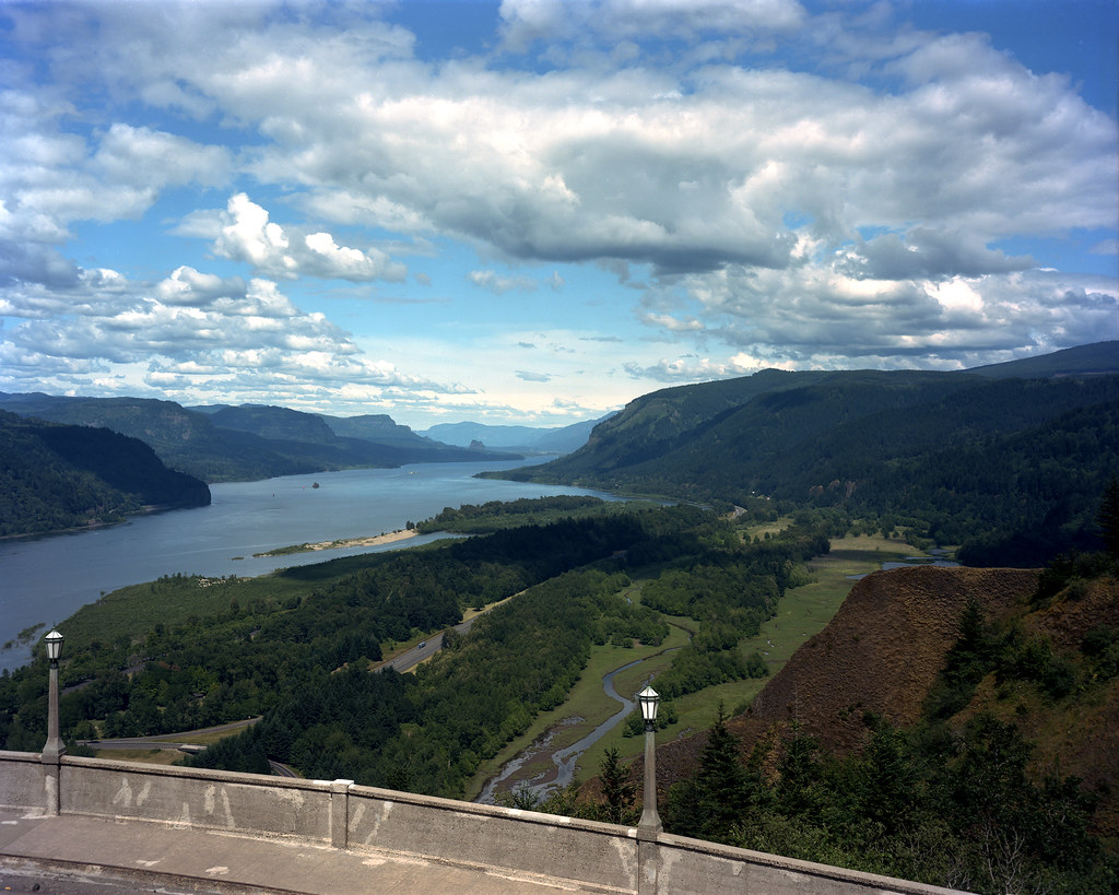
The Columbia Gorge from Crown Point, August 2013
statepark usa mountain building field station architecture oregon vintage point landscape photo site highway view outdoor or hill scenic columbia historic hwy ridge observatory vista historical crown register mountainside pioneers comfort crownpoint grassland multnomah attraction oregonstate corbett foothill vistahouse scenicdrive nrhp memoral onasill gorgeld multnomahcount
Vista House ~Oregon State ~ Columbia Gorge ~ My Old Photo
camera two oregon canon river portland lens point landscape ian photography eos is state mark forum scenic columbia images womens ii 5d gorge usm crownpoint viewpoint chanticleer sane ef100400mm f4556l
Crown Point
columbiariver columbia columbiagorge washingtonstate i84
Columbia river gorge
water waterfall columbia columbiarivergorge cold freezing river oregon canon slow
Winter Latourell Falls
bridalveilfalls columbiarivergorge oregon landscape waterfall corbett unitedstates us
Bridal Veil Falls
fall color landscape hood sandy river water stream fog clouds sunrise tripod canon oregon mountain
Hood and the fog at Jonsrud
a7rii alpha bailey columbiarivergorge emount fe1635mmf4zaoss goldenretriever ilce7rm2 longexposure multnomah nationalscenicarea or oregon pacificnorthwest sony upperlatourellfalls bridge creek dog forest fullframe golden hiking landscape mansbestfriend mirrorless pet stream trail trees water waterfall neverendingstory luckdragon falkor
Luckdragon at Upper Latourell
instagramapp square squareformat iphoneography uploaded:by=instagram
Rolling fog over Sandy River Valley. Can't wait to see more of these foggy landscapes . . . . . #jonrudsviewpoint #sandyoregon #foggymorning #foggysunrise #mthoodterritory #canon_official #canonphotography #madewithmefoto #purplepassport #explorecreatesha
bridal veil falls oregon portland waterfall nature landscape wilderness russell eck travel long exposure longexposure color nikon columbia river
Bridal Veil Falls Oregon
1250mmf3563mzuiko columbiariver columbiarivergorge em5 latourellfalls longexposure multnomah nationalscenicarea omd or olympus oregon pacificnorthwest basalt cliff creek ferns forest landscape lichen moss river rock stream trees water waterfall
The Long Line of Latourell
pacificnorthwest columbiagorge bridalveilfalls oregon tourism columbiarivergorge winter waterfall natural nopeople traveldestination scenic beautyinnature water flowing wet shady landscape scenery famousplace color colorful trees season weather usa western geology outdoors outside vacation outdoor travel beautiful falls wideangle lichen creek plunge westernusa environment green america tranquil nature bridalveil ferns moss rocks
Bridal Veil Falls, February 2020
canonef24105mmf4lisusm canoneos6d columbiarivergorge crownpointvistahouse or oregon pnw pacificnorthwest samanthadecker
Classic View of the Columbia River Gorge
autumn blackwhite blueskieswithclouds capturenx2edited colorefexpro colors columbiarivergorge columbiarivergorgenationalscenicarea columbiariverhwy creek crownpointvistahouse day8 hillside hillsideoftrees historiccolumbiariverhighway historiccolumbiariverhighwayscenicbyway lookingeast multiplecolors multitudeofplantleafcolors nationalscenicarea nature nikond800e project365 silverefexpro2 trees triptomountrainierandcolumbiarivergorge usroute30 youngcreek or unitedstates
Hillside After Hillside...