Elevation of SE Virginia Ct, Sandy, OR, USA
Location: United States > Oregon > Clackamas County > Sandy >
Longitude: -122.27021
Latitude: 45.4355372
Elevation: 247m / 810feet
Barometric Pressure: 98KPa
Elevation Map:
Satellite Map:
Related Photos:
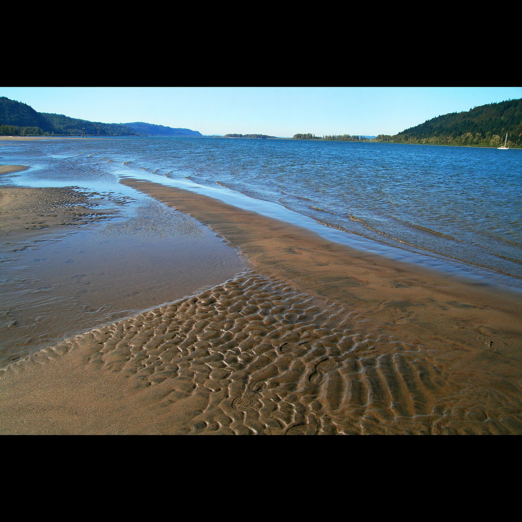
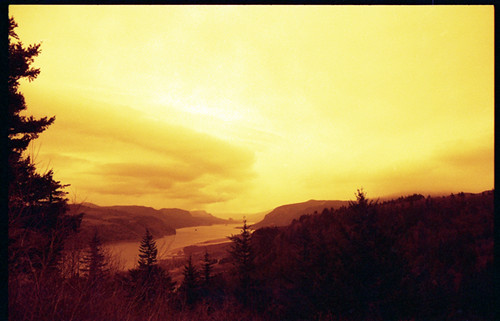
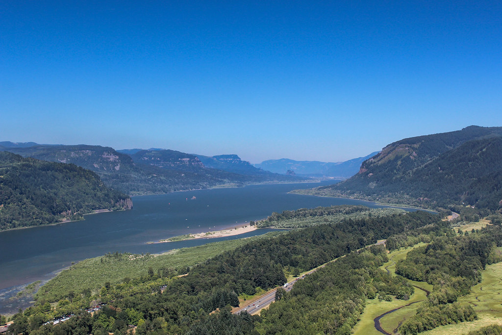
Roll on, Columbia, roll on
Just living is not enough... one must have sunshine, freedom, and a little flower…

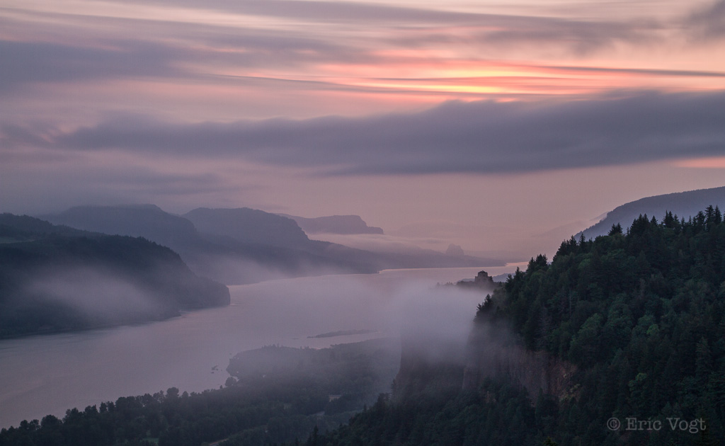
{ sunrise over the oregon trail }

Awaiting Sunrise at Jonsrud Viewpoint - Sandy Oregon - HDR

November Sunrise
Just being a tourist
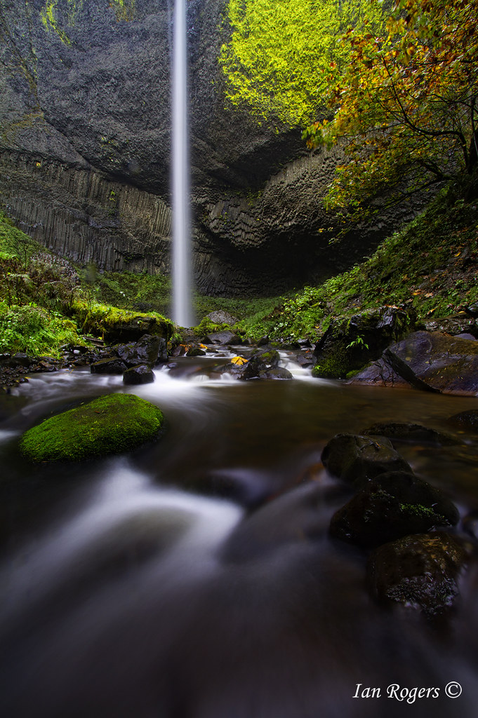
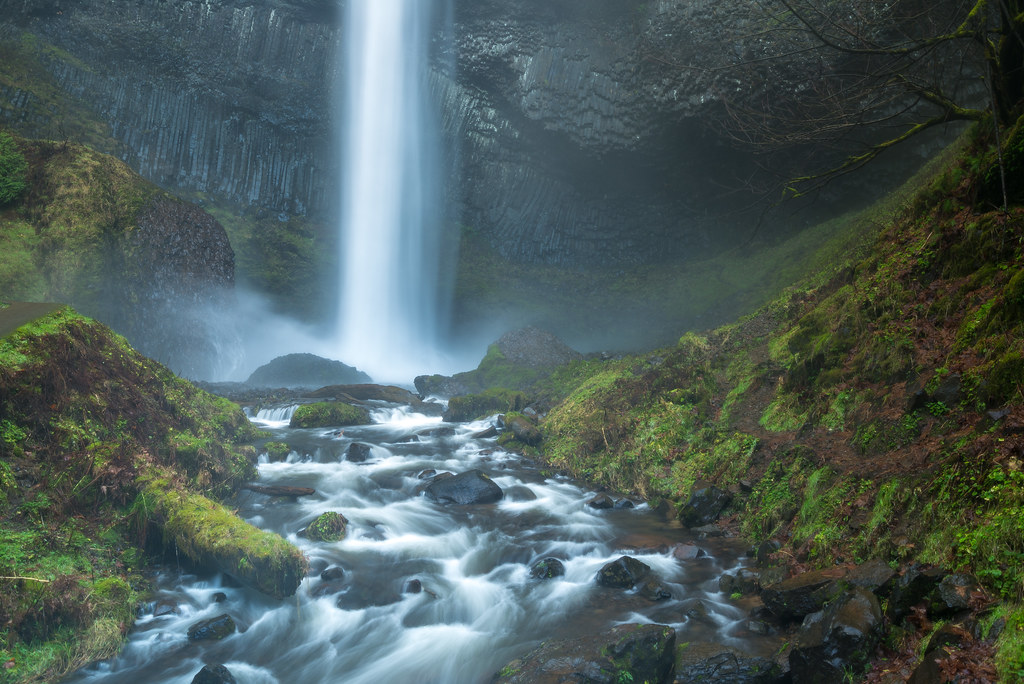
Fall at Latourell Falls
Full harvest moon atop Vista House

Rolling fog over Sandy River Valley. Can't wait to see more of these foggy landscapes . . . . . #jonrudsviewpoint #sandyoregon #foggymorning #foggysunrise #mthoodterritory #canon_official #canonphotography #madewithmefoto #purplepassport #explorecreatesha

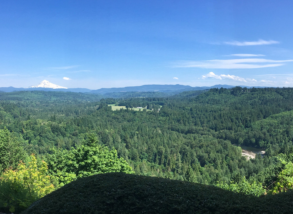
Sunrise Over Mount Hood and Sandy River From Jonsrud Viewpoint Oregon - HDR
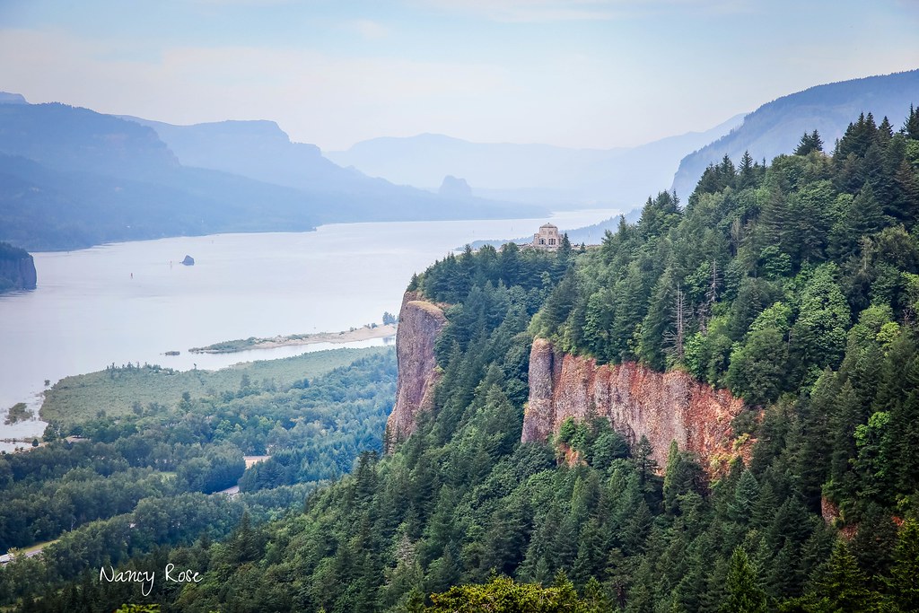
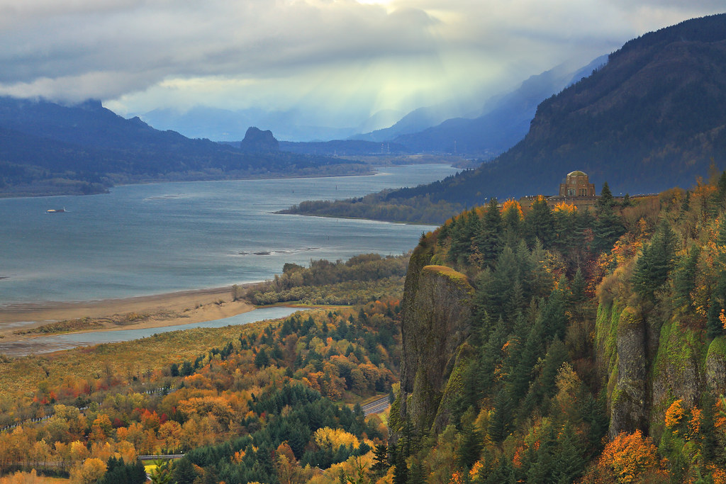
Crown Point

Moonrise and Sunrise Over Mount Hood and Sandy River Valley - HDR

Upper Bridal Veil Falls
Rainy Day Looking Towards Latourell Fall Near Portland OR USA-6a (in Explore)
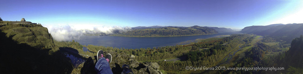
Columbia River Gorge

Jonsrud take 2
View from My Place

bus view
columbia gorge
Lower Latourell Falls, Multnomah / Columbia River Gorge, Oregon, USA

Angels Rest Columbia River View
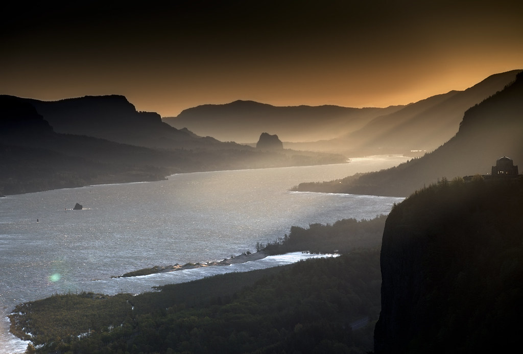
Sunrise On The Columbia River
Columbia River Gorge
Storm over the Columbia River Gorge
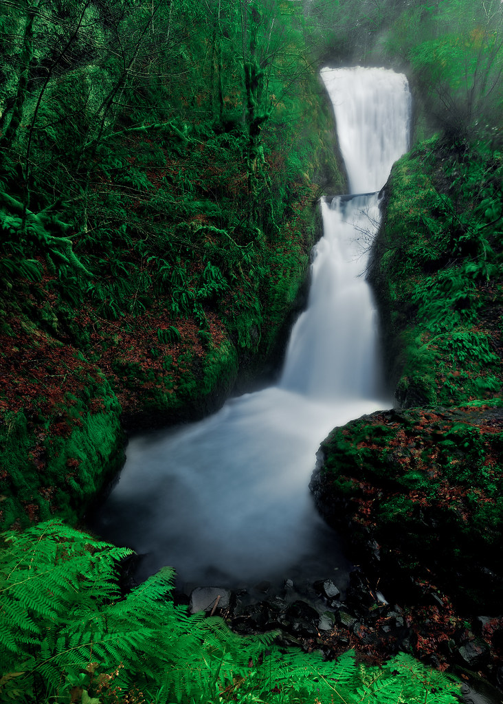
Bridal Veil - Explored #95
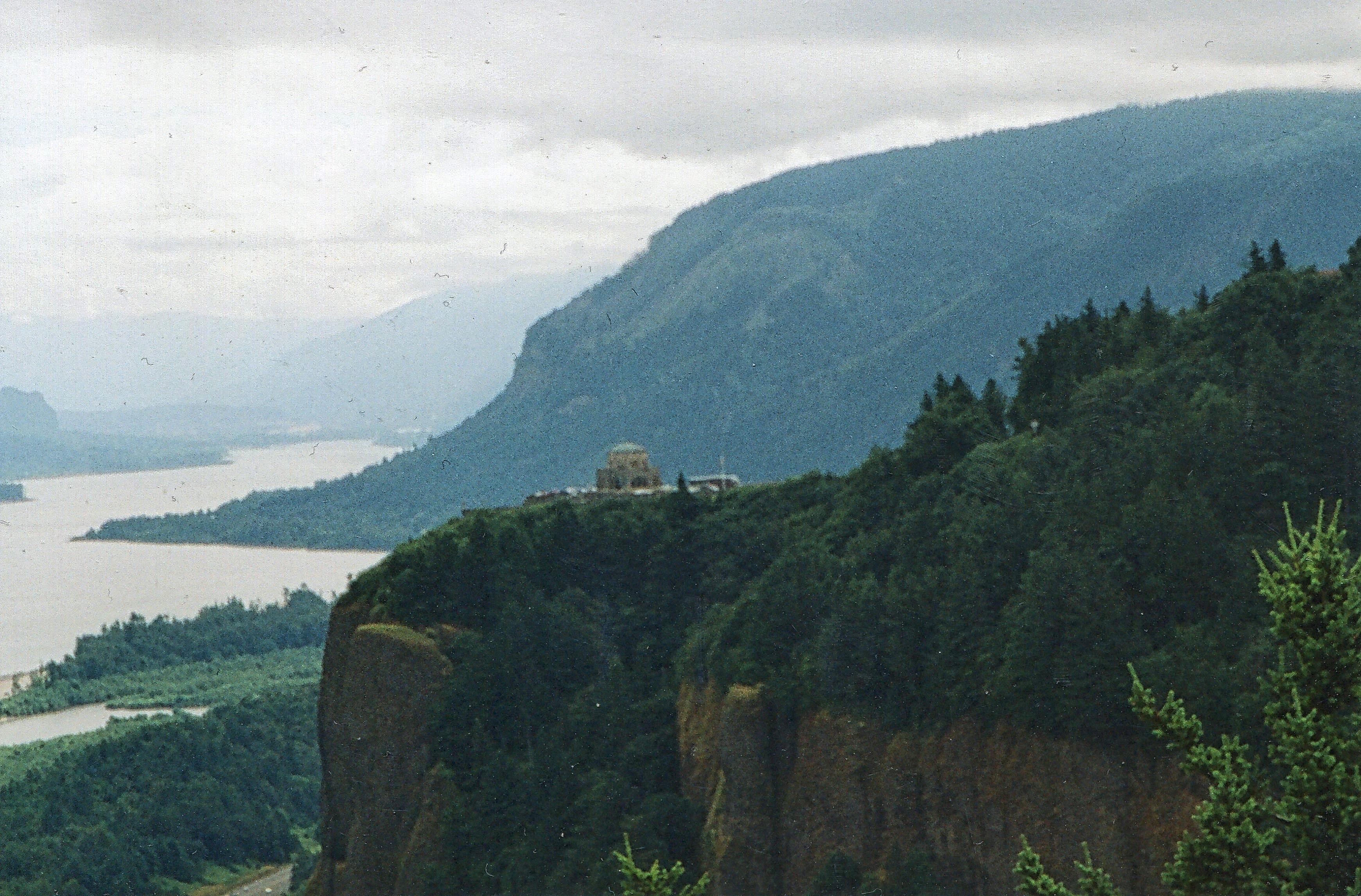
Vista House ~Oregon State ~ Columbia Gorge ~ My Old Photo

amanecerá
In every city, memories would whisper: "Here is where you rest."

Walking to Latourell Falls

Give me comatose joy like rerun T.V.
Fall at the Gorge.
View of Columbia River Near Portland OR USA-5a

Row Row Row your boat...
Broad is the Way that Leadeth to Destruction
When I first saw an image of this place by Chip Phillips I said to myself I had to get there. When I finally found myself standing there after drawing on my years of map reading and navigation skills and getting through the narrow gorge with chest deep fr
Top Of The World
Spring Rains at Latourell Falls
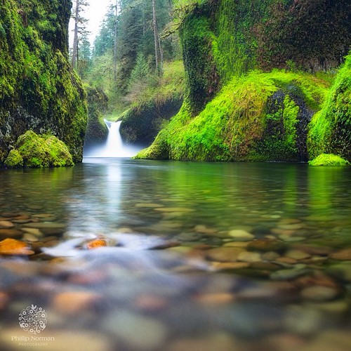
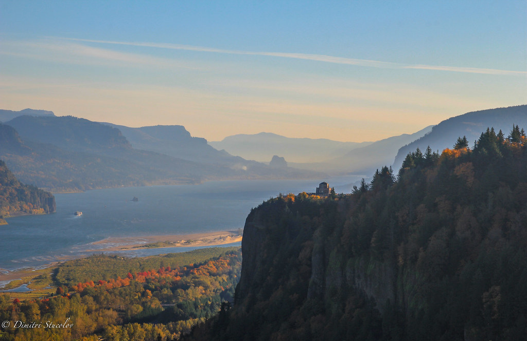
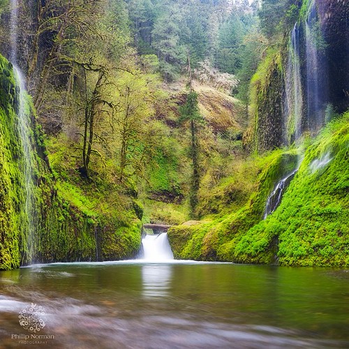
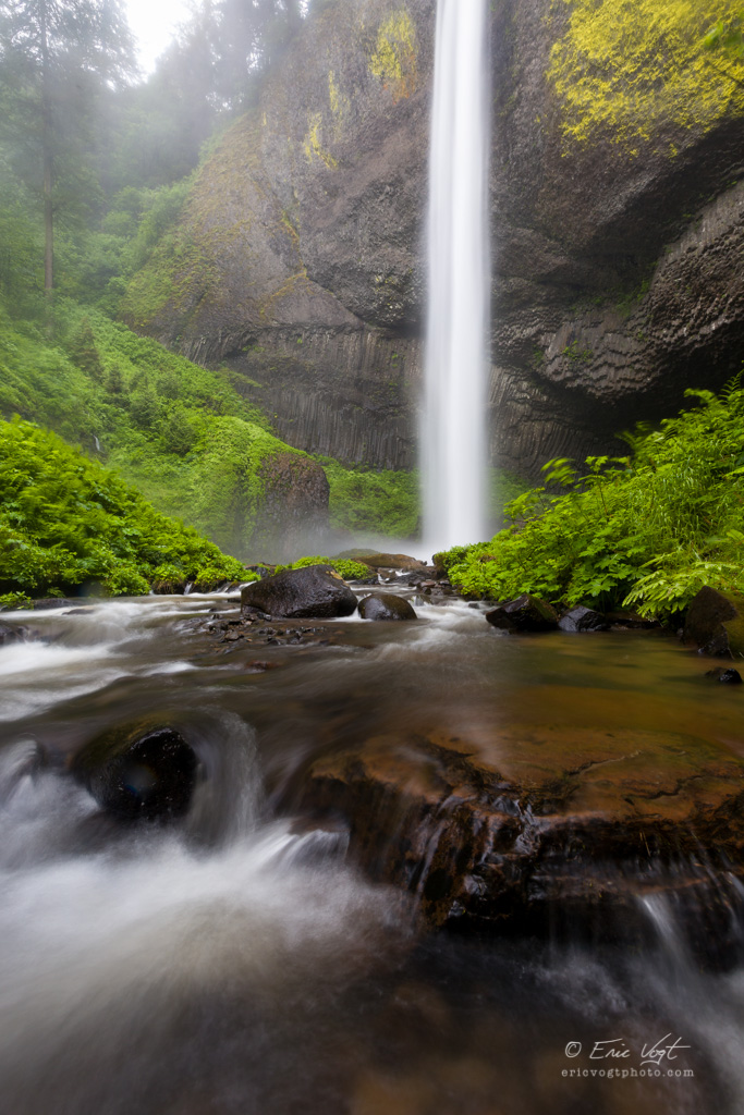
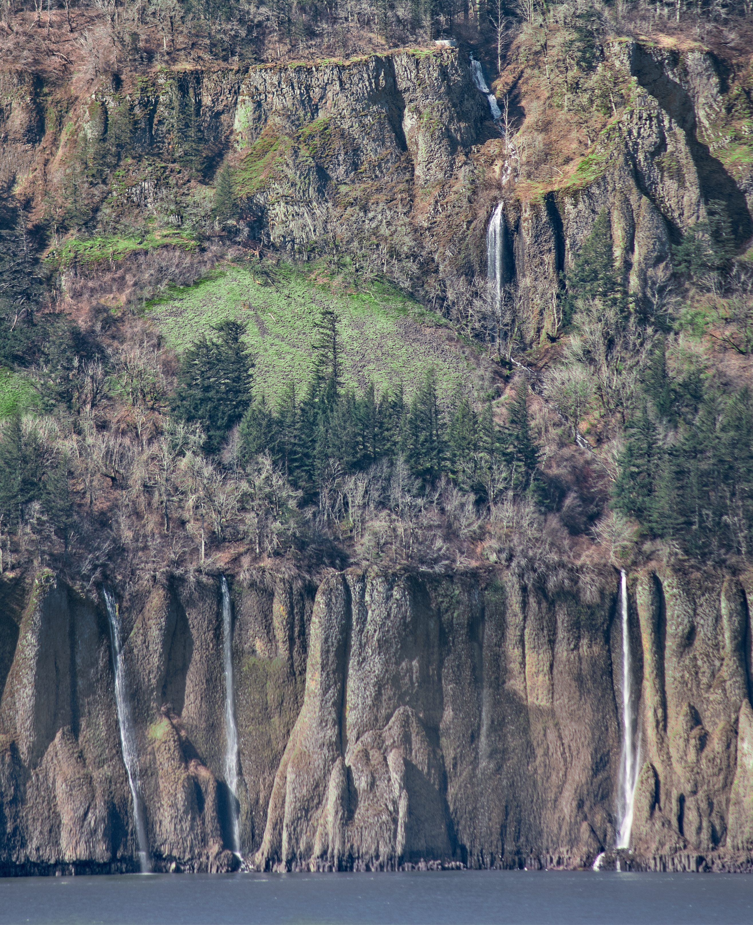
The Columbia River begins its journey in the Canadian Rockies and finds its way down into Washington and Oregon where it flows past the northern slopes of Mt Hood. There are many tributaries flowing off those slopes where high rainfall feeds a lush forest
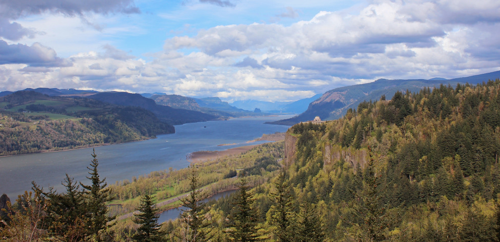
Columbia River Gorge
Vista's Morning Break
Cape Horn Falls 67 D
Topographic Map of SE Virginia Ct, Sandy, OR, USA
Find elevation by address:

Places near SE Virginia Ct, Sandy, OR, USA:
12130 Se Virginia Ct
11500 Se Penns Ln
11333 Se Bluff Rd
37711 Se Hudson Rd
37232 Se Hauglum Rd
Dodge Park
37330 Se Dodge Park Blvd
American Street
Jonsrud View Point
38015 Se Jonsrud Ln
35443 Se Hauglum Rd
35341 Se Hauglum Rd
16320 Se Bluff Rd
10300 Se Camp Namanu Rd
16450 Royal Ln
37601 Us-26
37600 Ruben Ln
37600 Ruben Ln
Sandy
Fred Meyer
Recent Searches:
- Elevation of Warwick, RI, USA
- Elevation of Fern Rd, Whitmore, CA, USA
- Elevation of 62 Abbey St, Marshfield, MA, USA
- Elevation of Fernwood, Bradenton, FL, USA
- Elevation of Felindre, Swansea SA5 7LU, UK
- Elevation of Leyte Industrial Development Estate, Isabel, Leyte, Philippines
- Elevation of W Granada St, Tampa, FL, USA
- Elevation of Pykes Down, Ivybridge PL21 0BY, UK
- Elevation of Jalan Senandin, Lutong, Miri, Sarawak, Malaysia
- Elevation of Bilohirs'k