Elevation of SE 32 Ct, Inglis, FL, USA
Location: United States > Florida > Levy County > Inglis >
Longitude: -82.720074
Latitude: 29.237982
Elevation: 6m / 20feet
Barometric Pressure: 101KPa
Elevation Map:
Satellite Map:
Related Photos:
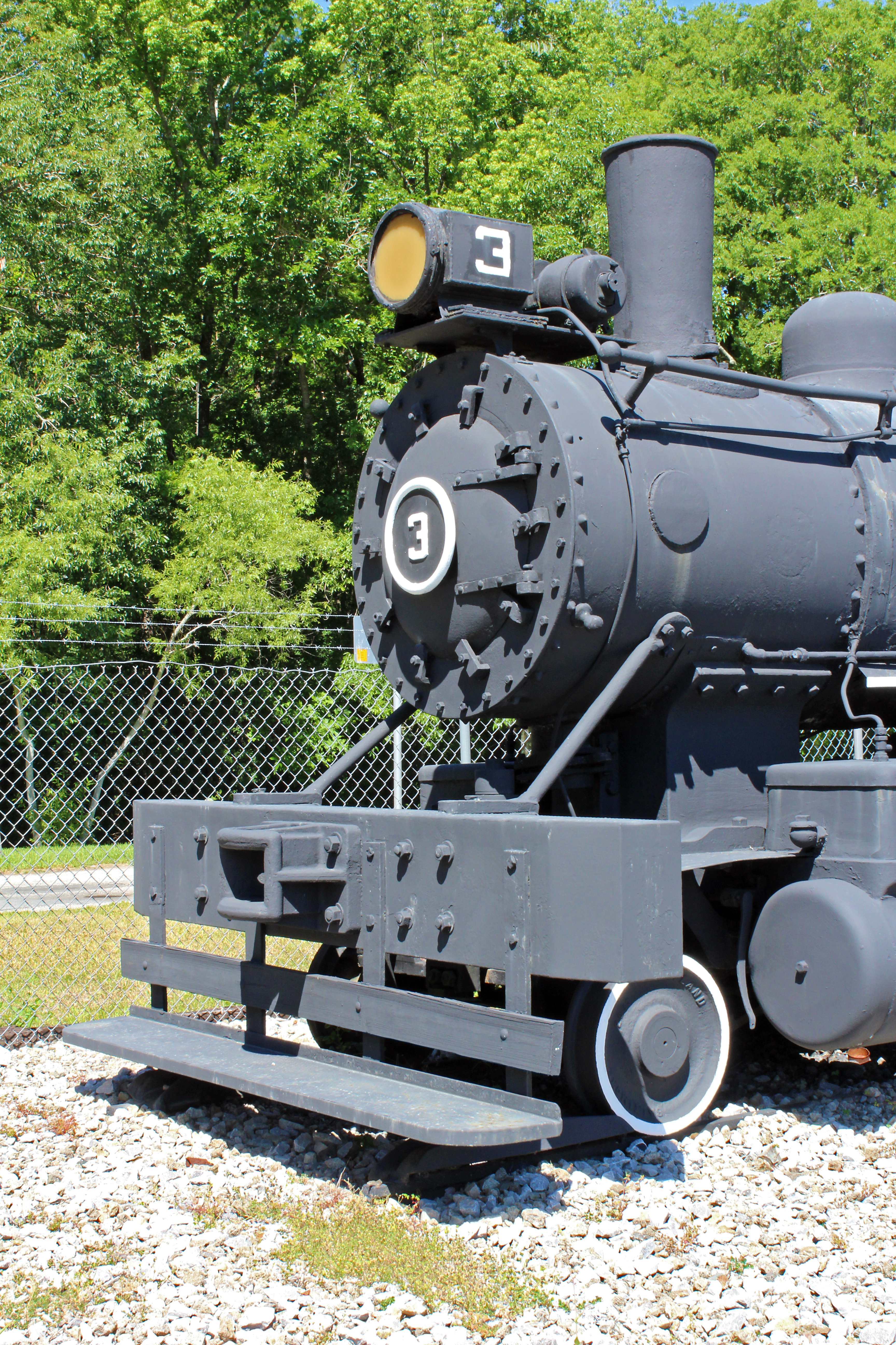
Patterson-McInnis Locomotive 3, Levy County

The Secret # 107 jug view #1
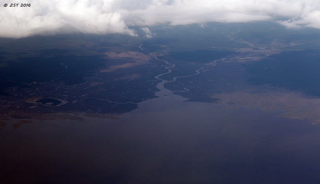
Waccasassa River & Bay

Gulf Hammock Memories
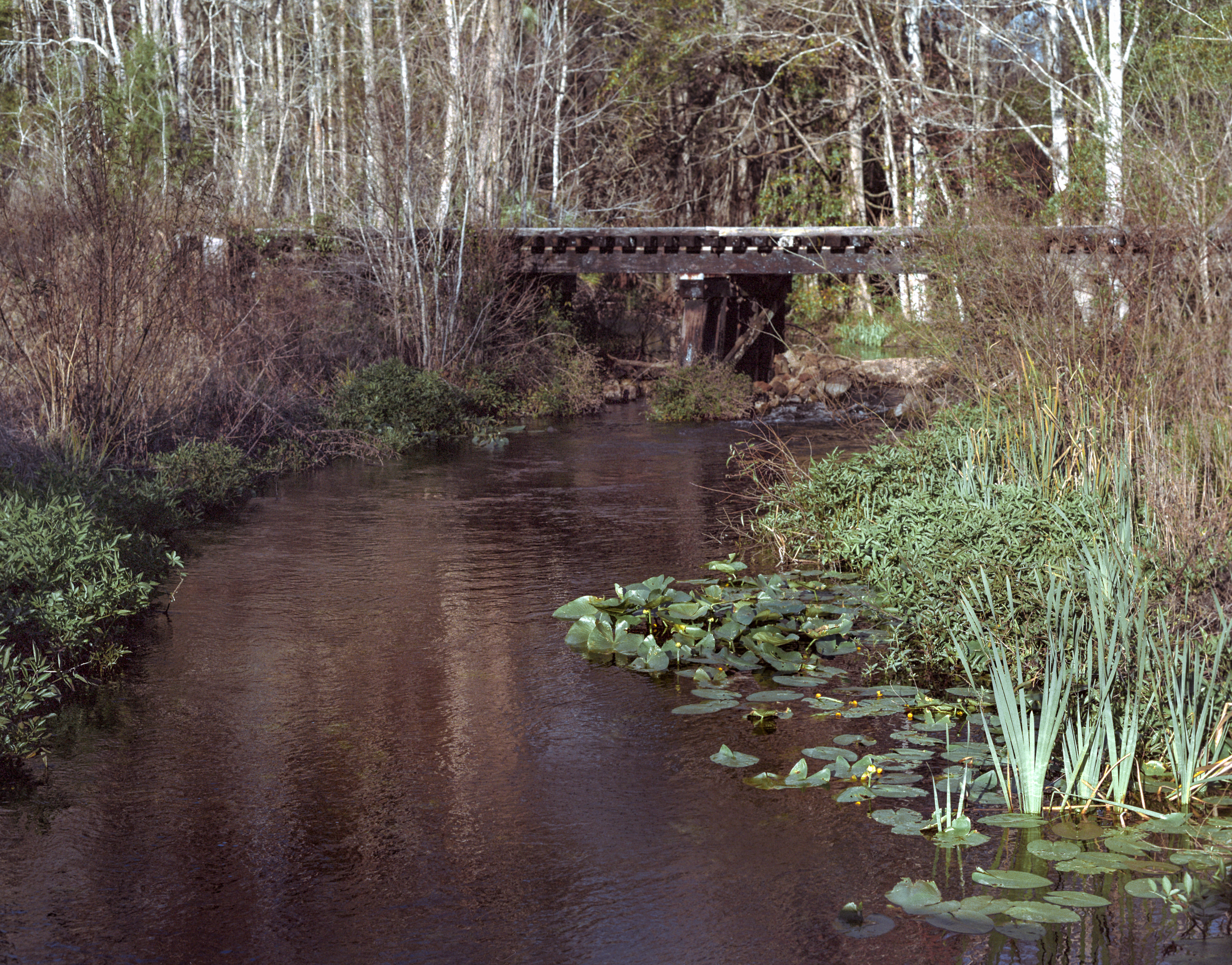
Mule Creek

Water's edge

Waccasassa River
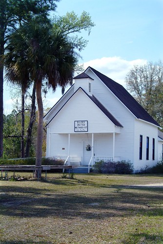
1200+ views: Ellzey United Methodist Church in the Ghost Town of Ellzey, FL
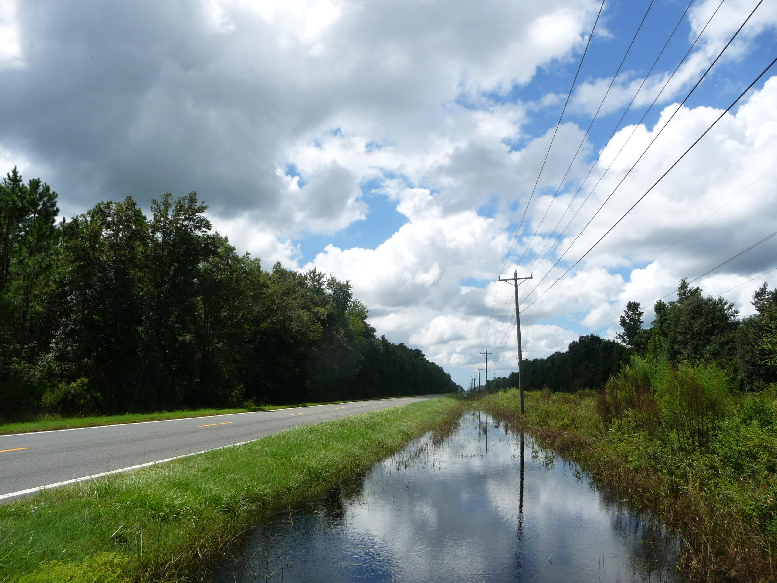
CR 21 westbound on the way to Cedar Key!
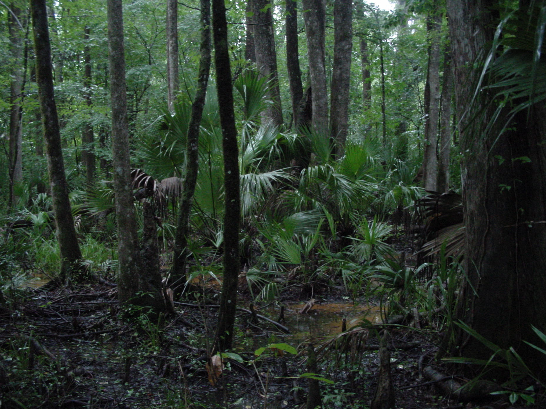
swamp, Gulf Hammock, Florida
The buzz

Chasmanthium nitidum (Shiny woodoats)
Topographic Map of SE 32 Ct, Inglis, FL, USA
Find elevation by address:

Places near SE 32 Ct, Inglis, FL, USA:
SE County Rd, Inglis, FL, USA
751 County Rd 326
Otter Creek
S Otter Cr Ave, Otter Creek, FL, USA
Levy County
Levy County
7050 Se Butler Rd
11950 Se 58 Pl
8030 Se 144 Pl
8130 Se 144 Pl
Florida Sheriff Caruth Camp
1750 Se 111 Ct
8431 Se 144 Pl
5850 Se 122 Ave
12251 Se 53rd Ln
7150 Se 123rd Terrace
Southeast 123rd Terrace
12250 Se 57 St
Southeast 170 Street
551 Se 112th Terrace
Recent Searches:
- Elevation of Spaceport America, Co Rd A, Truth or Consequences, NM, USA
- Elevation of Warwick, RI, USA
- Elevation of Fern Rd, Whitmore, CA, USA
- Elevation of 62 Abbey St, Marshfield, MA, USA
- Elevation of Fernwood, Bradenton, FL, USA
- Elevation of Felindre, Swansea SA5 7LU, UK
- Elevation of Leyte Industrial Development Estate, Isabel, Leyte, Philippines
- Elevation of W Granada St, Tampa, FL, USA
- Elevation of Pykes Down, Ivybridge PL21 0BY, UK
- Elevation of Jalan Senandin, Lutong, Miri, Sarawak, Malaysia