Elevation of SE Pl, Inglis, FL, USA
Location: United States > Florida > Levy County > Inglis >
Longitude: -82.634846
Latitude: 29.119141
Elevation: 11m / 36feet
Barometric Pressure: 101KPa
Elevation Map:
Satellite Map:
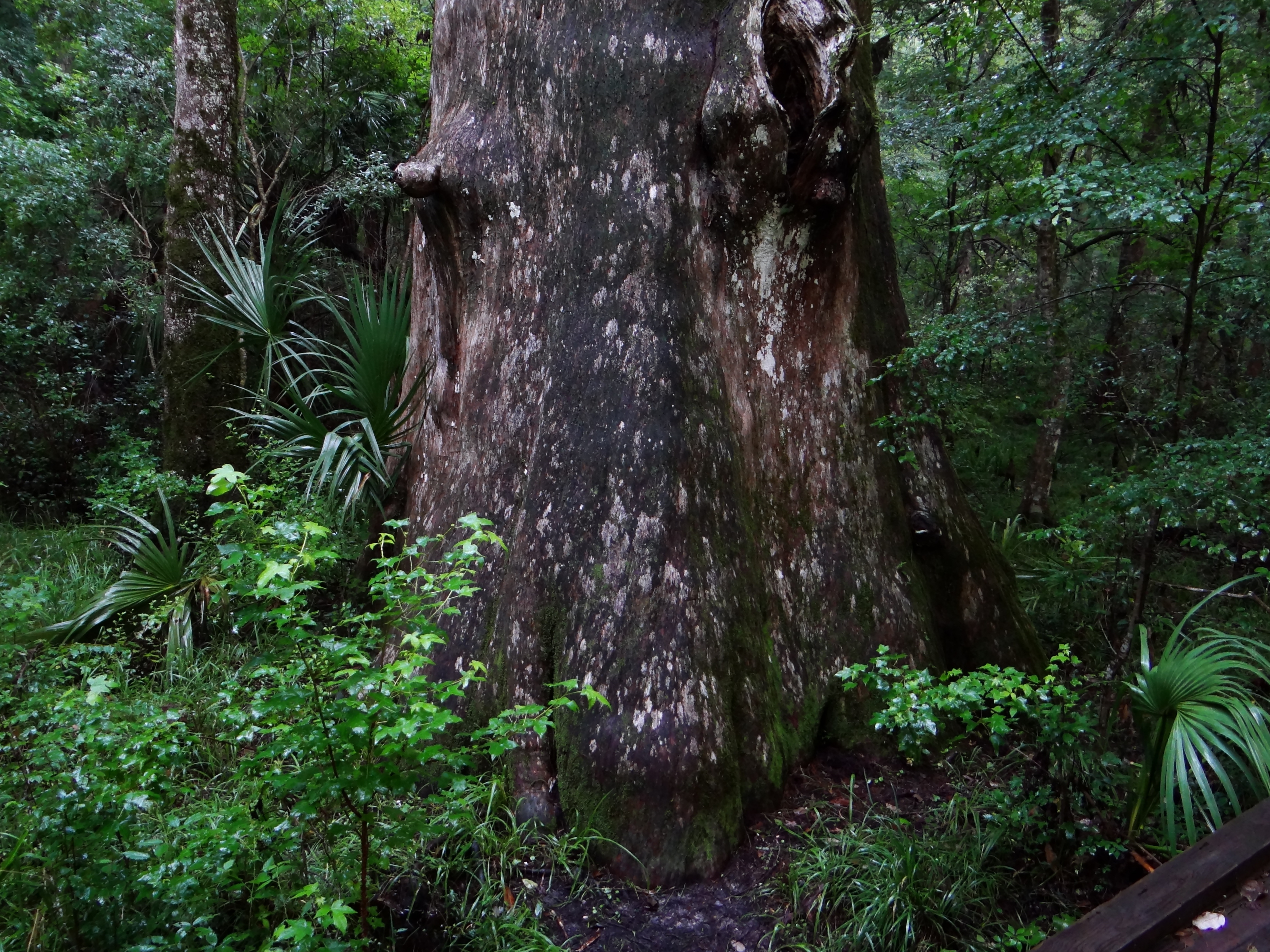
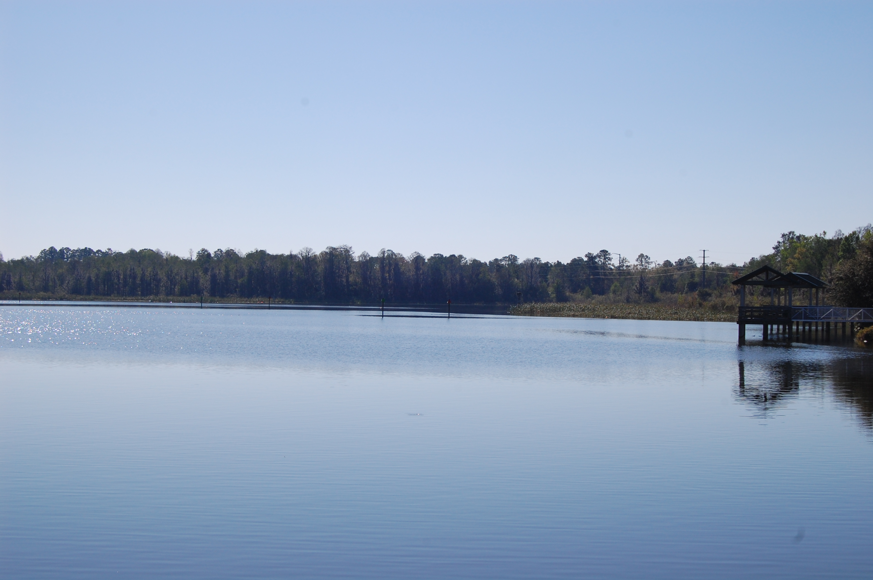
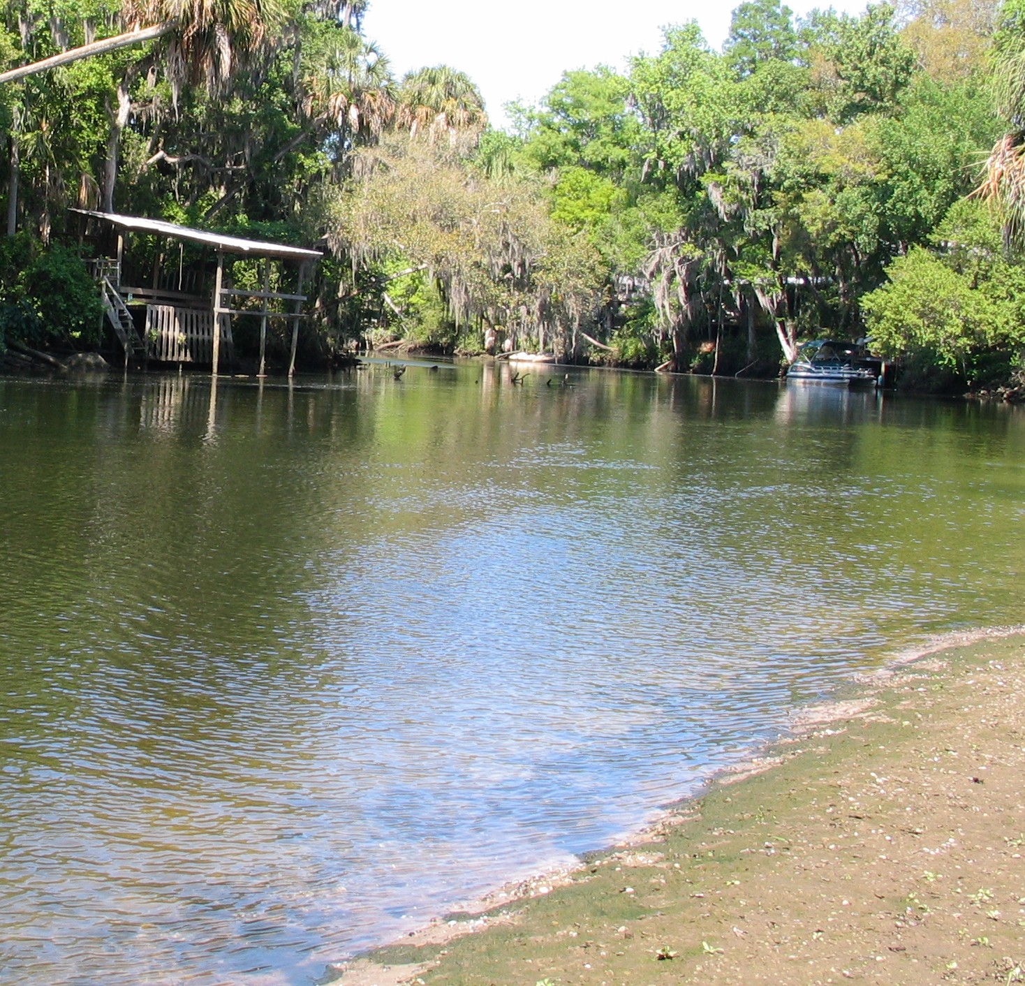
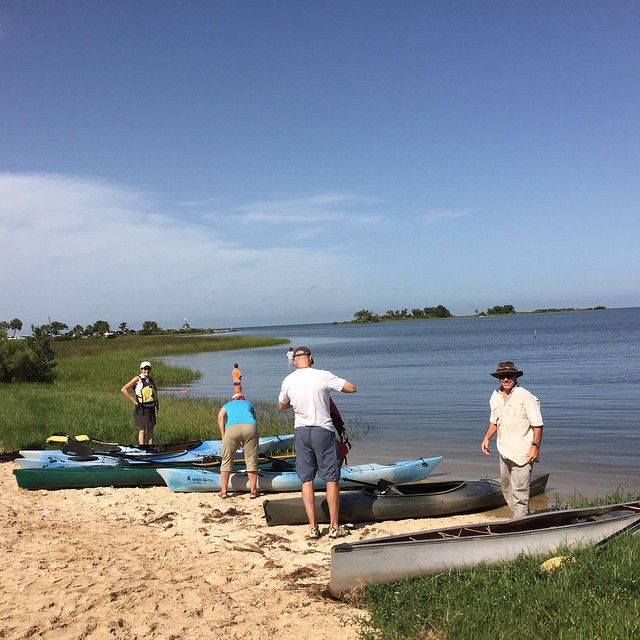
Related Photos:
View if you sit on the memorial
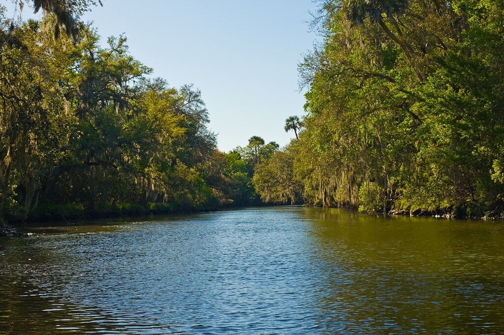
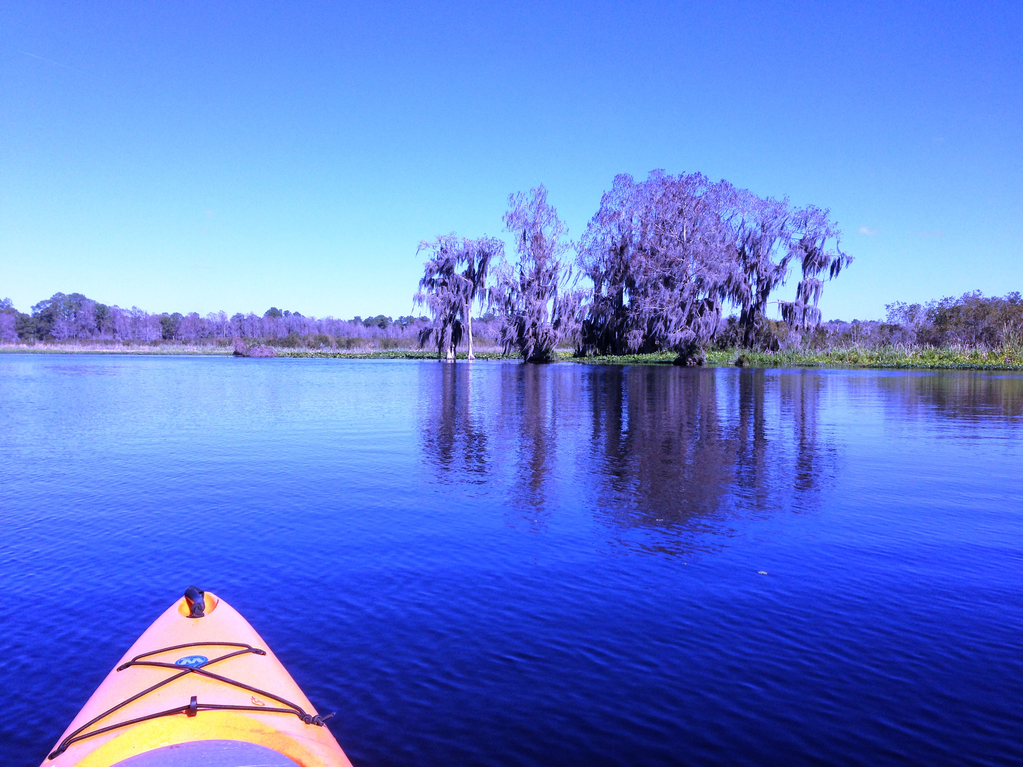
2100 Views - Inglis, Florida
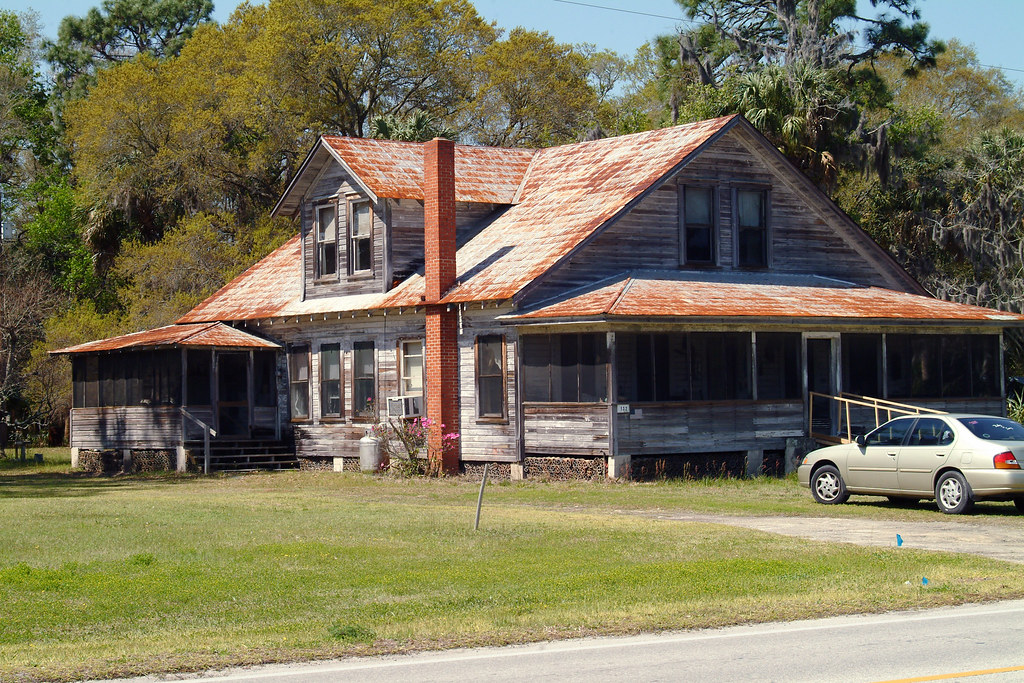
2000+ Views - Old House in Inglis, Florida
Lebanon Station 2
Day 5 Lake Rosseau
Swimminghole of Death

20110423-DSC_4073
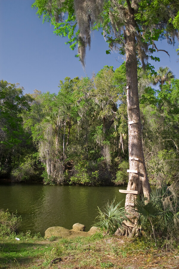
Water's edge

Storm 'a Comin'

Day 5 Entrances to Lake Rosseau

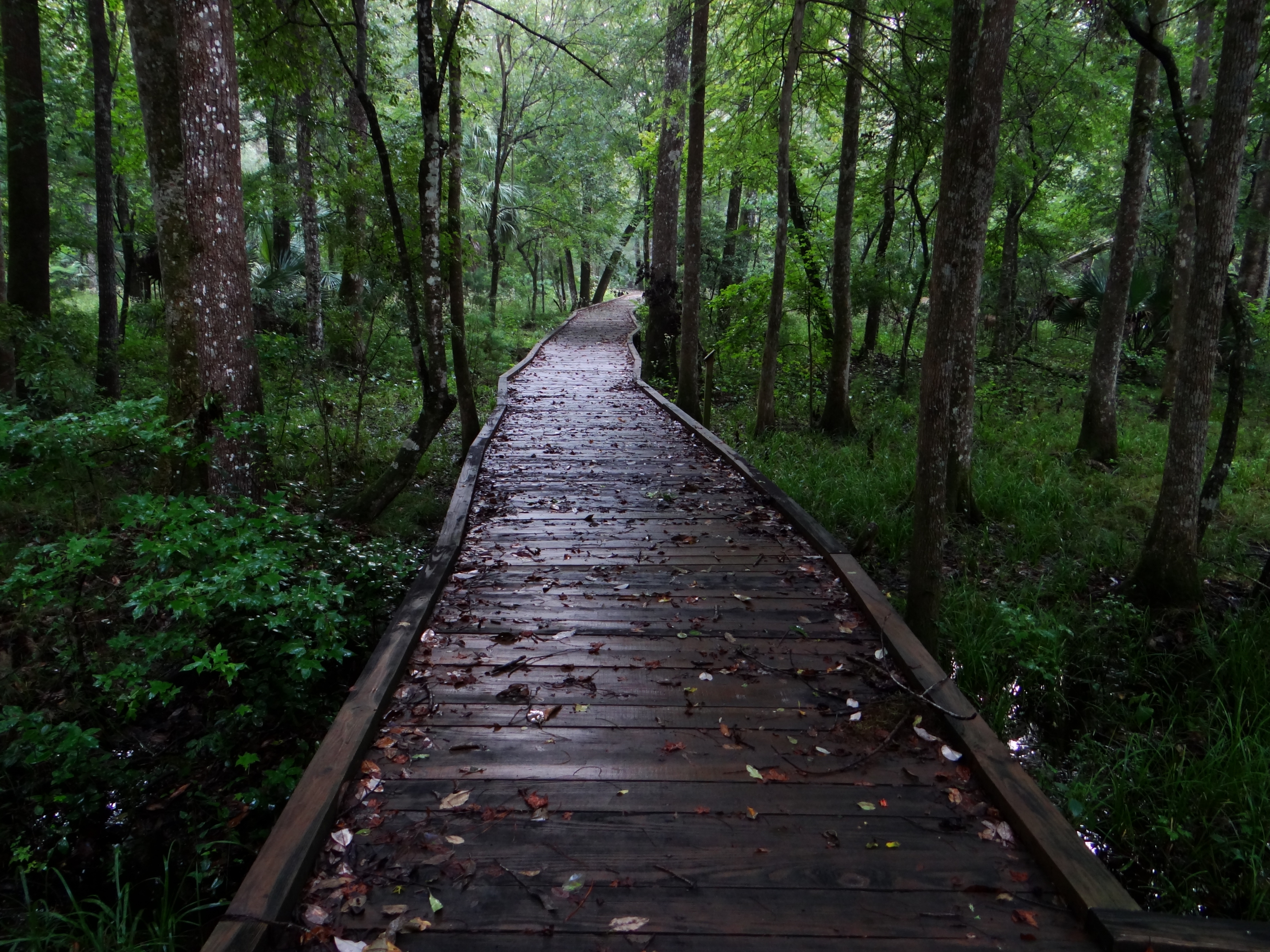
On the trail
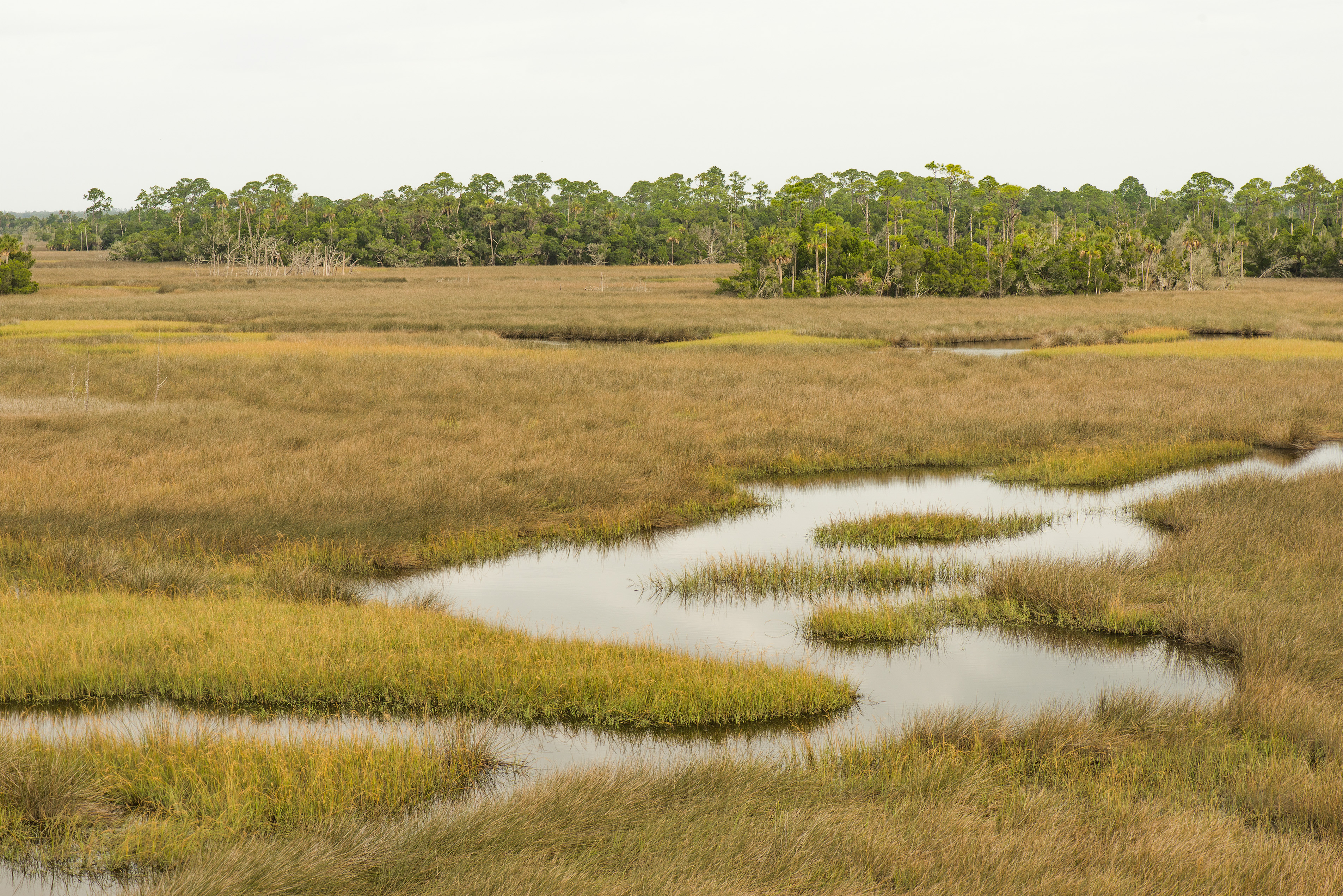
SaltMarshlands001.jpg
The buzz
Inglis Isle Trails
Inglis 4.7.07
Withlacoochie inlet ##kayak #Florida

Citrus County's Rainbow River
Topographic Map of SE Pl, Inglis, FL, USA
Find elevation by address:

Places near SE Pl, Inglis, FL, USA:
8130 Se 144 Pl
Florida Sheriff Caruth Camp
8431 Se 144 Pl
7050 Se Butler Rd
3950 Se 180th St
Southeast 170 Street
19631 Debra St
5890 Se 194th St
4851 Se 187th Ln
331 Linda St
10 Marjorie Ln
17690 35 Terrace
177 Gladys Ave
120 Rachel Ave
20 Harrison Ave
70 Shearer St
89 Gladys Ct
17891 32 Terrace
46 Us-19
Rose Avenue
Recent Searches:
- Elevation of Groblershoop, South Africa
- Elevation of Power Generation Enterprises | Industrial Diesel Generators, Oak Ave, Canyon Country, CA, USA
- Elevation of Chesaw Rd, Oroville, WA, USA
- Elevation of N, Mt Pleasant, UT, USA
- Elevation of 6 Rue Jules Ferry, Beausoleil, France
- Elevation of Sattva Horizon, 4JC6+G9P, Vinayak Nagar, Kattigenahalli, Bengaluru, Karnataka, India
- Elevation of Great Brook Sports, Gold Star Hwy, Groton, CT, USA
- Elevation of 10 Mountain Laurels Dr, Nashua, NH, USA
- Elevation of 16 Gilboa Ln, Nashua, NH, USA
- Elevation of Laurel Rd, Townsend, TN, USA