Elevation of SE County Rd, Inglis, FL, USA
Location: United States > Florida > Levy County > Inglis >
Longitude: -82.726476
Latitude: 29.251007
Elevation: 4m / 13feet
Barometric Pressure: 101KPa
Elevation Map:
Satellite Map:
Related Photos:
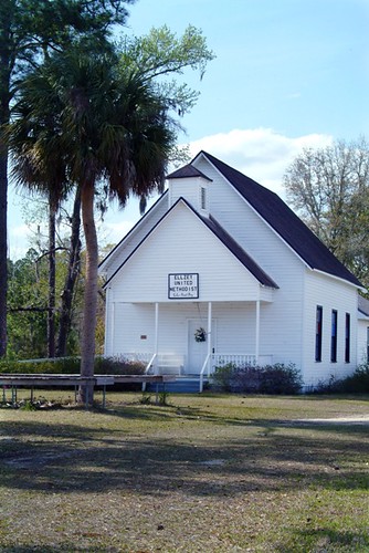
1200+ views: Ellzey United Methodist Church in the Ghost Town of Ellzey, FL
Lebanon Station 2

The Secret # 107 jug view #1

The Secret # 107 jug view #2

Water's edge

Waccasassa River
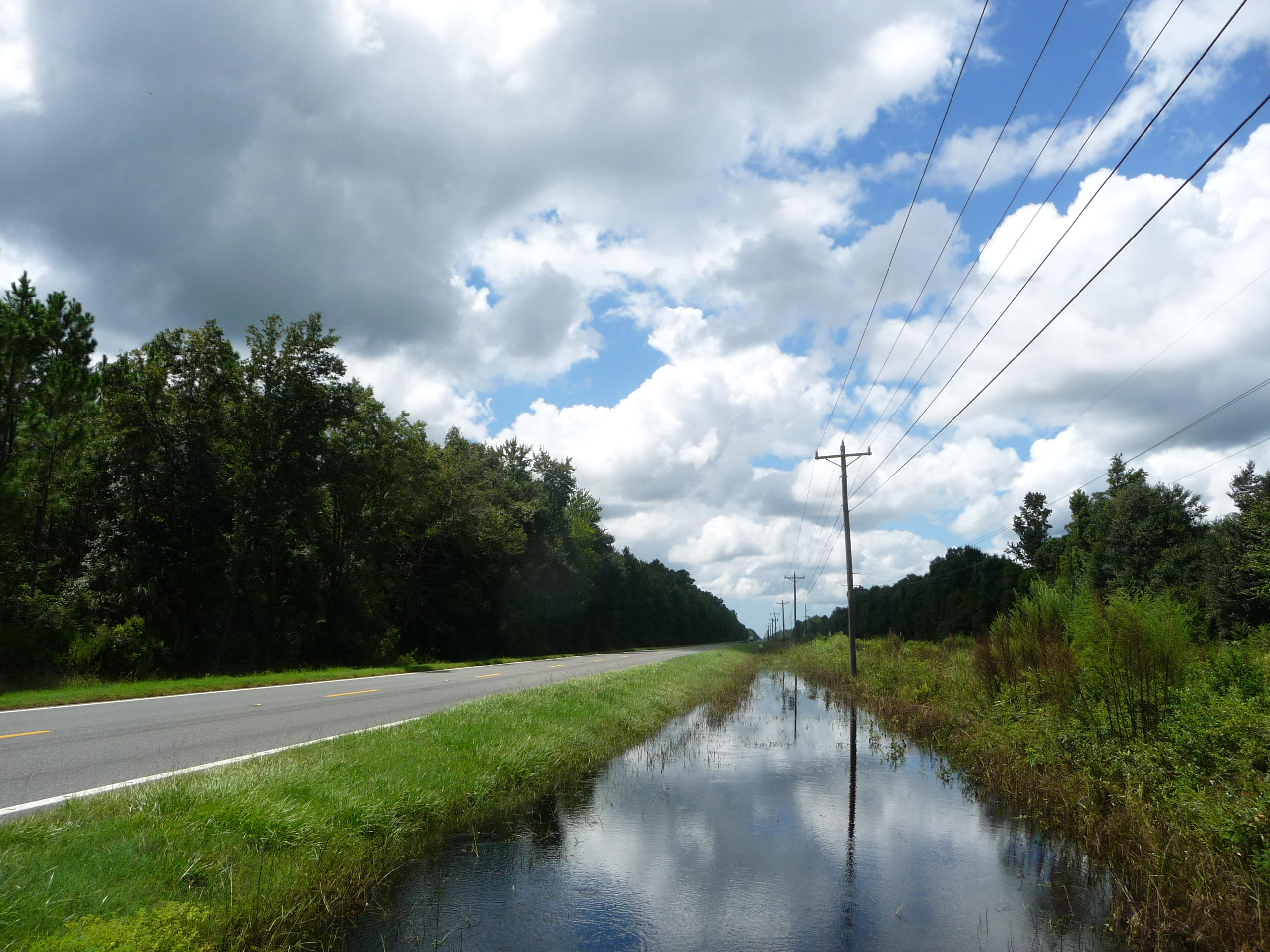
CR 21 westbound on the way to Cedar Key!

On the trail
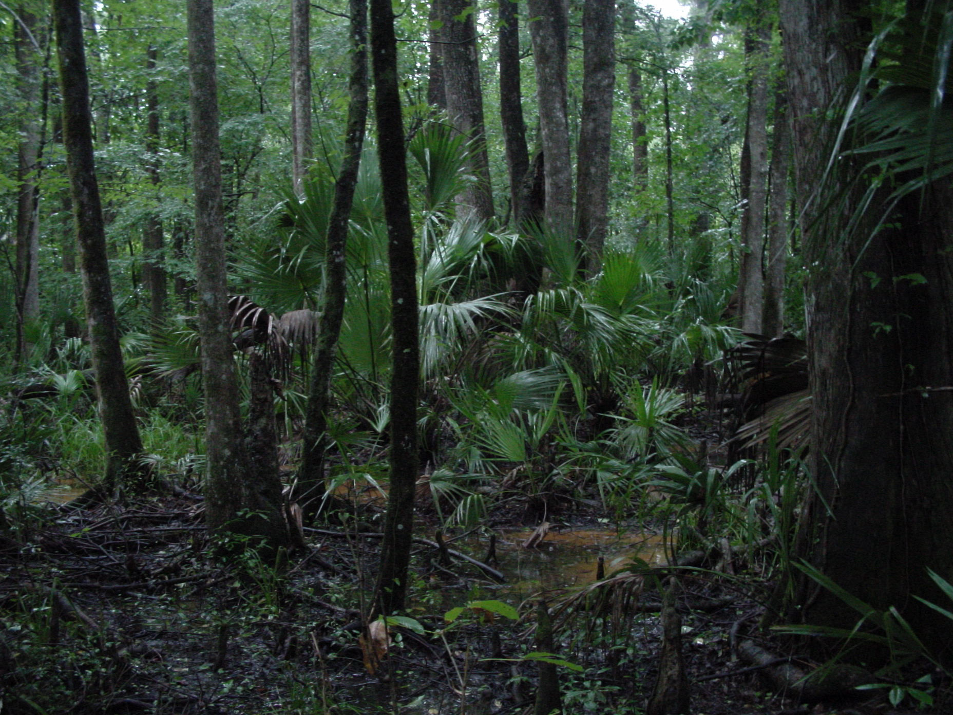
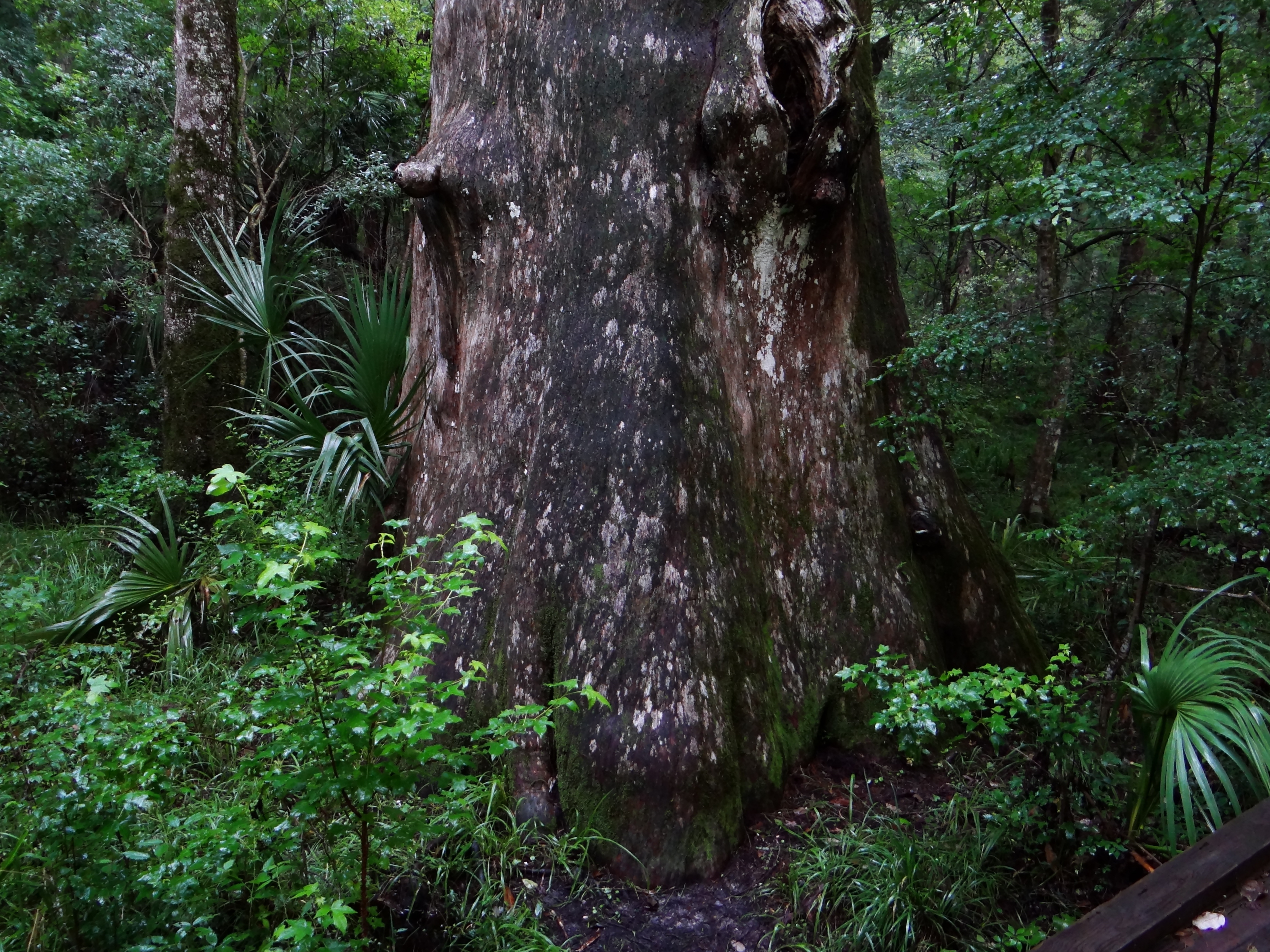
swamp, Gulf Hammock, Florida
The buzz
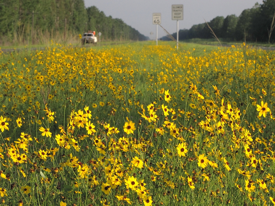
Leavenworths tickseed (Coreopsis leavenworthii)

Chasmanthium nitidum (Shiny woodoats)
Topographic Map of SE County Rd, Inglis, FL, USA
Find elevation by address:

Places near SE County Rd, Inglis, FL, USA:
6270 Se 32 Ct
751 County Rd 326
Otter Creek
S Otter Cr Ave, Otter Creek, FL, USA
Levy County
Levy County
7050 Se Butler Rd
1750 Se 111 Ct
11950 Se 58 Pl
5850 Se 122 Ave
12251 Se 53rd Ln
12250 Se 57 St
7150 Se 123rd Terrace
Southeast 123rd Terrace
551 Se 112th Terrace
8030 Se 144 Pl
8130 Se 144 Pl
Florida Sheriff Caruth Camp
8431 Se 144 Pl
350 Se 116th Terrace
Recent Searches:
- Elevation of Pykes Down, Ivybridge PL21 0BY, UK
- Elevation of Jalan Senandin, Lutong, Miri, Sarawak, Malaysia
- Elevation of Bilohirs'k
- Elevation of 30 Oak Lawn Dr, Barkhamsted, CT, USA
- Elevation of Luther Road, Luther Rd, Auburn, CA, USA
- Elevation of Unnamed Road, Respublika Severnaya Osetiya — Alaniya, Russia
- Elevation of Verkhny Fiagdon, North Ossetia–Alania Republic, Russia
- Elevation of F. Viola Hiway, San Rafael, Bulacan, Philippines
- Elevation of Herbage Dr, Gulfport, MS, USA
- Elevation of Lilac Cir, Haldimand, ON N3W 2G9, Canada