Elevation of Schwarzer Weg 4, Ostenfeld, Germany
Location: Germany > Schleswig-holstein > Ostenfeld >
Longitude: 9.23245
Latitude: 54.46333
Elevation: 46m / 151feet
Barometric Pressure: 101KPa
Elevation Map:
Satellite Map:
Related Photos:

CITY BACKYARD
view from the top
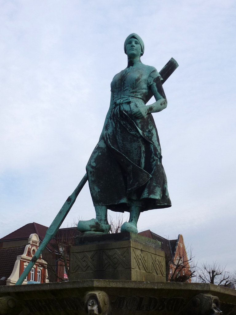
Frauenpower :-)- women power :-)

HUS 19

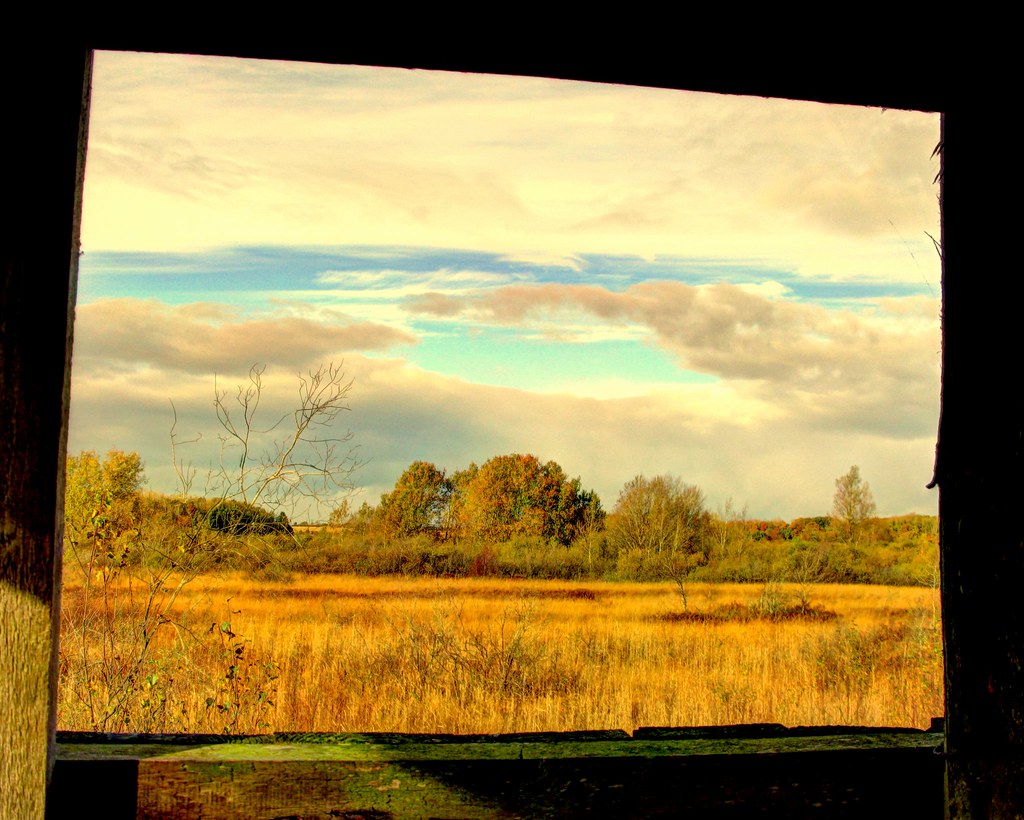
Das Fenster

The Stern of HUS 19
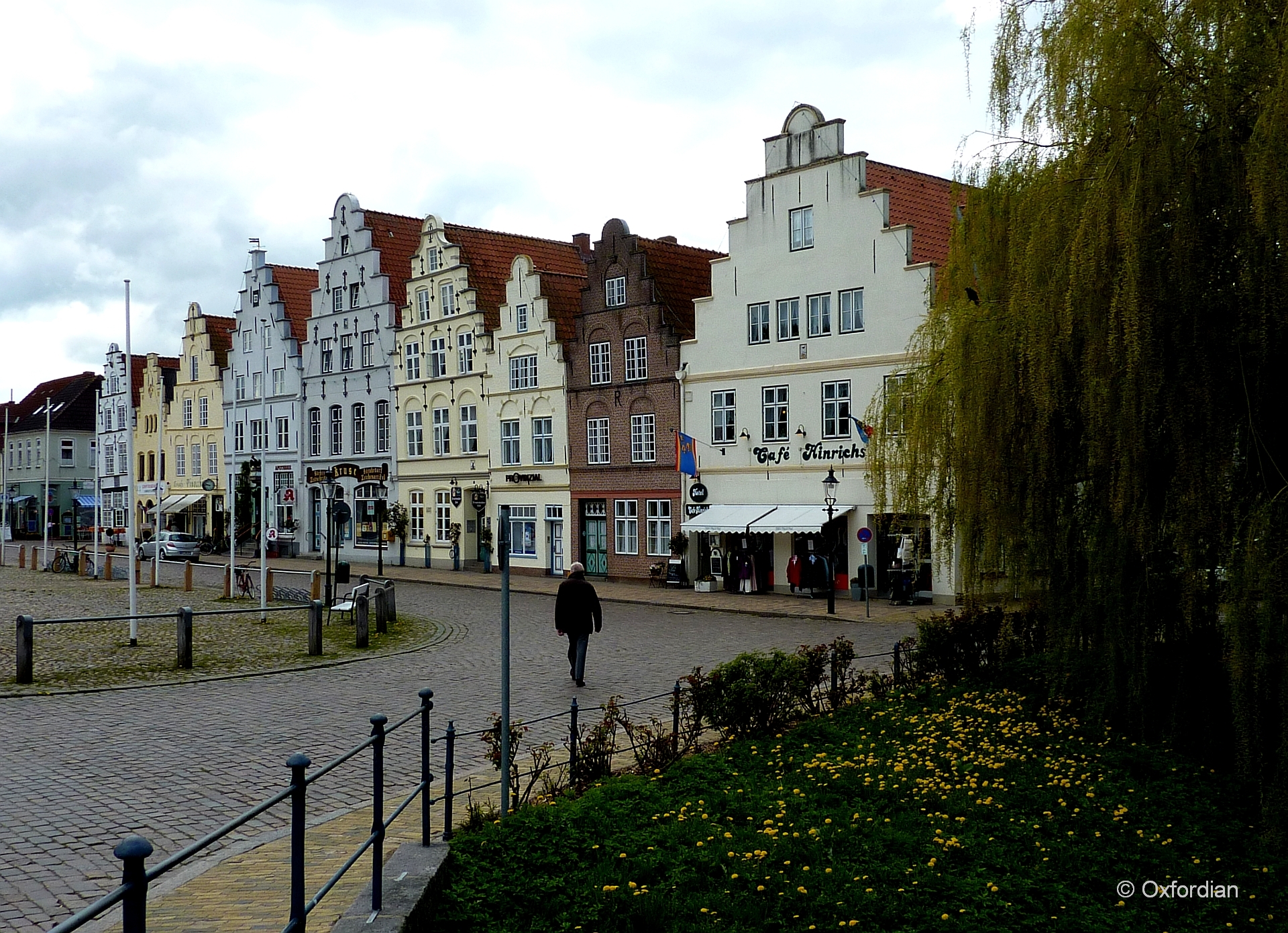
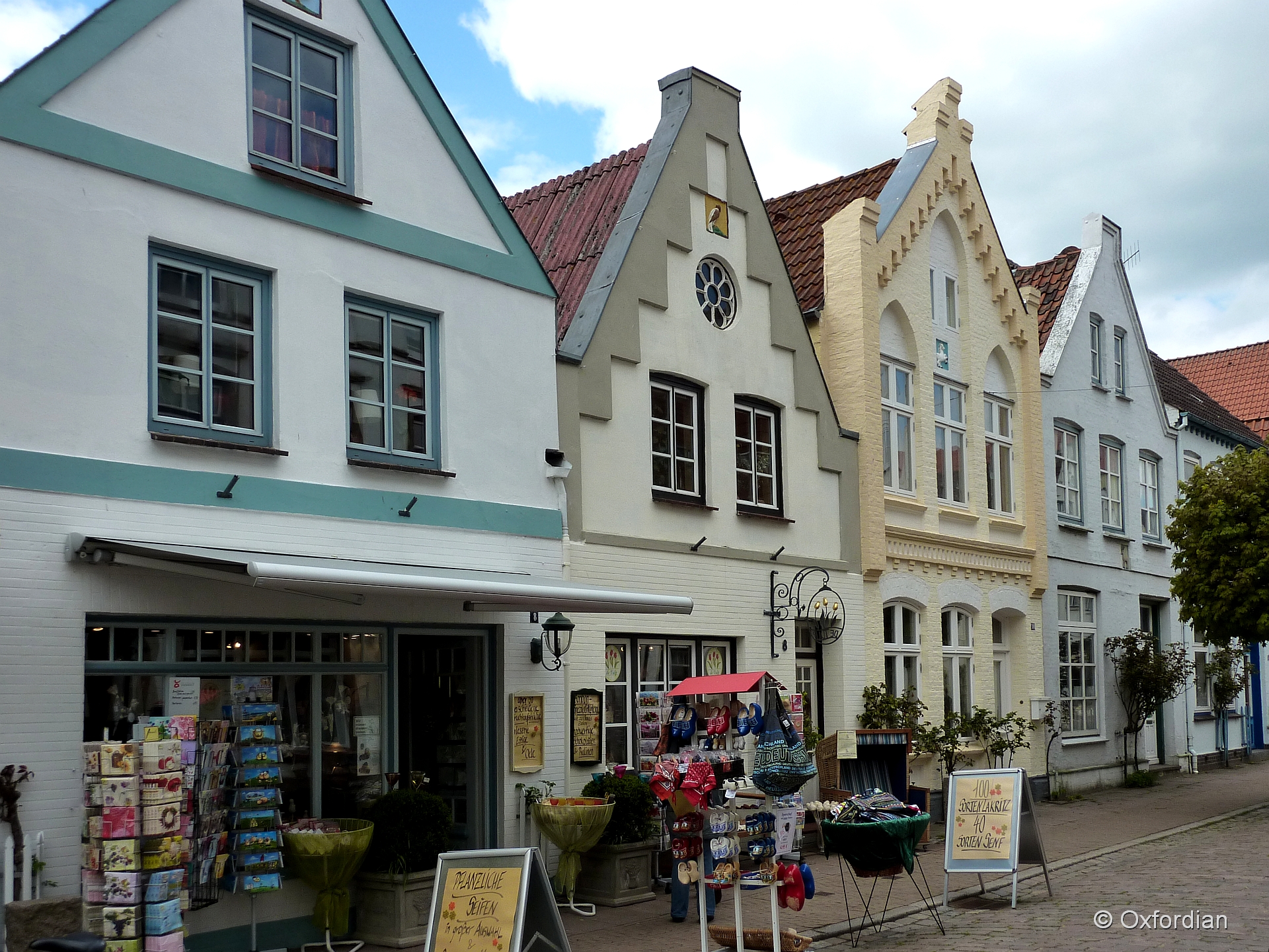
Friedrichstadt - Am Markt
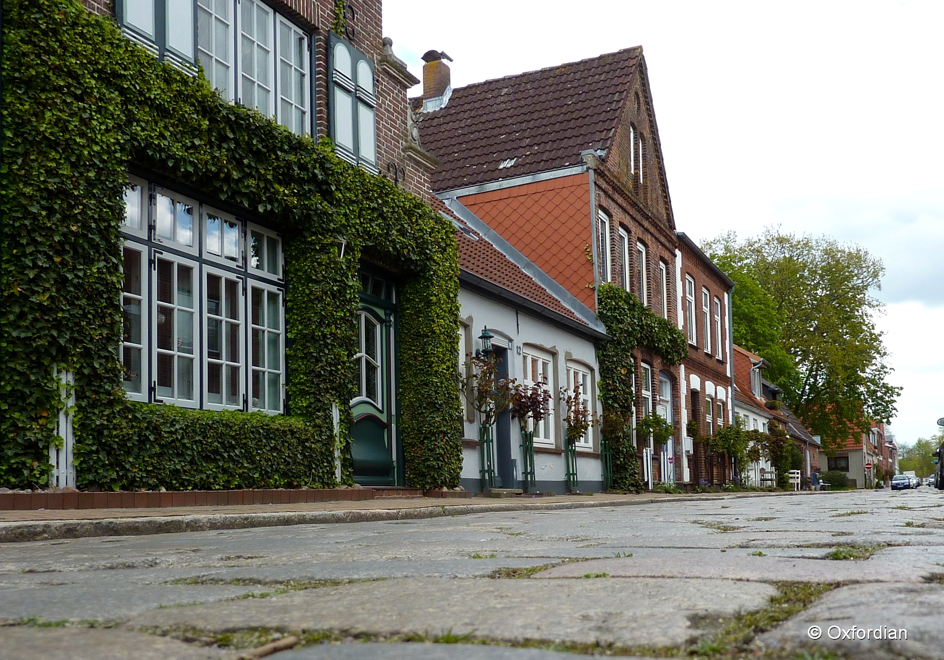
Friedrichstadt - cobblestoned street

Herzog-Adolf-Strasse, Husum.

Husum station
Friedrichstadt - Holländisches Flair

Dark Tree

Husum blue hour

Husum Hafen

2012-11-21 12.49.47
Sorge am Morgen; Börmerkoog, Börm (5)
Topographic Map of Schwarzer Weg 4, Ostenfeld, Germany
Find elevation by address:

Places near Schwarzer Weg 4, Ostenfeld, Germany:
Ostenfeld
Treia
Schwesing
Hauptstraße 5, Schwesing, Germany
Grüfter Str. 27, Treia, Germany
Krögerredder 15, Silberstedt, Germany
Silberstedt
Nordfeld-Hehm 5, Kleve, Germany
Norstedt
Spinkebüll
Dörpstraat 8, Norstedt, Germany
Schückingstraße 11
Husum
Sankt Annen
Hennstedt
58a
Pahlhorn 3, Tielen, Germany
Kleve
Tielen
Dammsfeld 1, Lehe, Germany
Recent Searches:
- Elevation of Elwyn Dr, Roanoke Rapids, NC, USA
- Elevation of Congressional Dr, Stevensville, MD, USA
- Elevation of Bellview Rd, McLean, VA, USA
- Elevation of Stage Island Rd, Chatham, MA, USA
- Elevation of Shibuya Scramble Crossing, 21 Udagawacho, Shibuya City, Tokyo -, Japan
- Elevation of Jadagoniai, Kaunas District Municipality, Lithuania
- Elevation of Pagonija rock, Kranto 7-oji g. 8"N, Kaunas, Lithuania
- Elevation of Co Rd 87, Jamestown, CO, USA
- Elevation of Tenjo, Cundinamarca, Colombia
- Elevation of Côte-des-Neiges, Montreal, QC H4A 3J6, Canada