Elevation of Kleve, Germany
Location: Germany > Schleswig-holstein >
Longitude: 9.1236717
Latitude: 54.2948492
Elevation: 9m / 30feet
Barometric Pressure: 101KPa
Elevation Map:
Satellite Map:
Related Photos:

of own view

view from the top

THE DODGY DANCECLUB
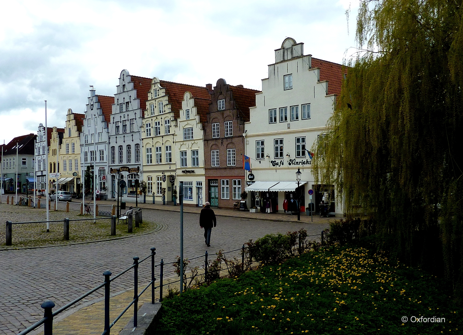
Friedrichstadt - Am Markt
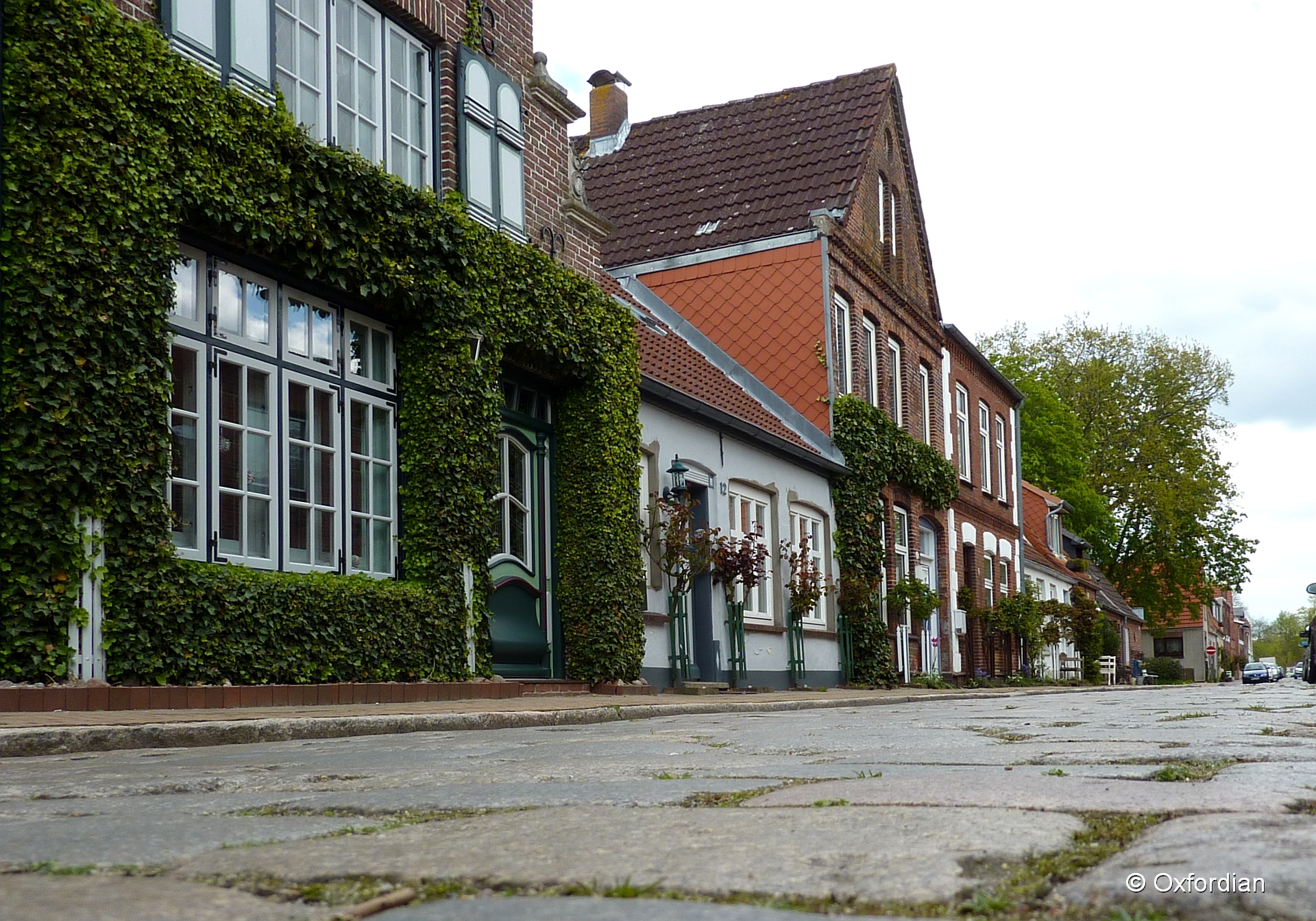
Friedrichstadt - cobblestoned street
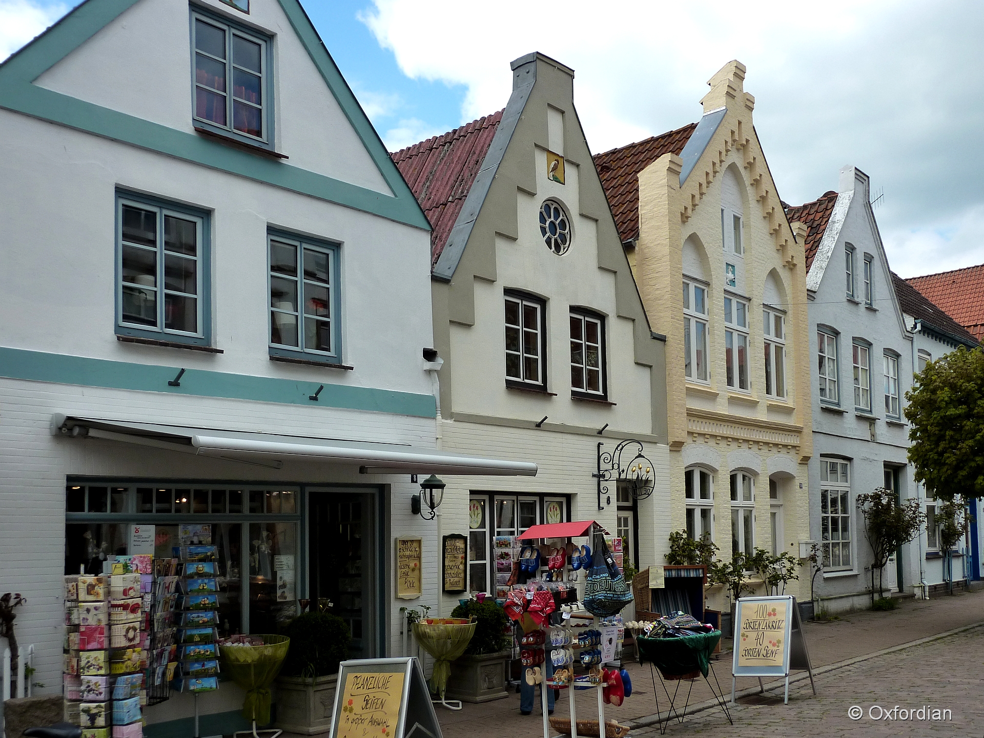
Friedrichstadt - Holländisches Flair

Tönning
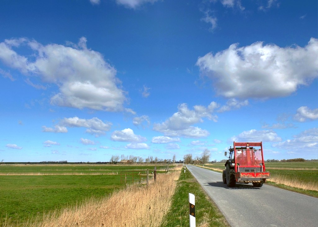
Getting To Work
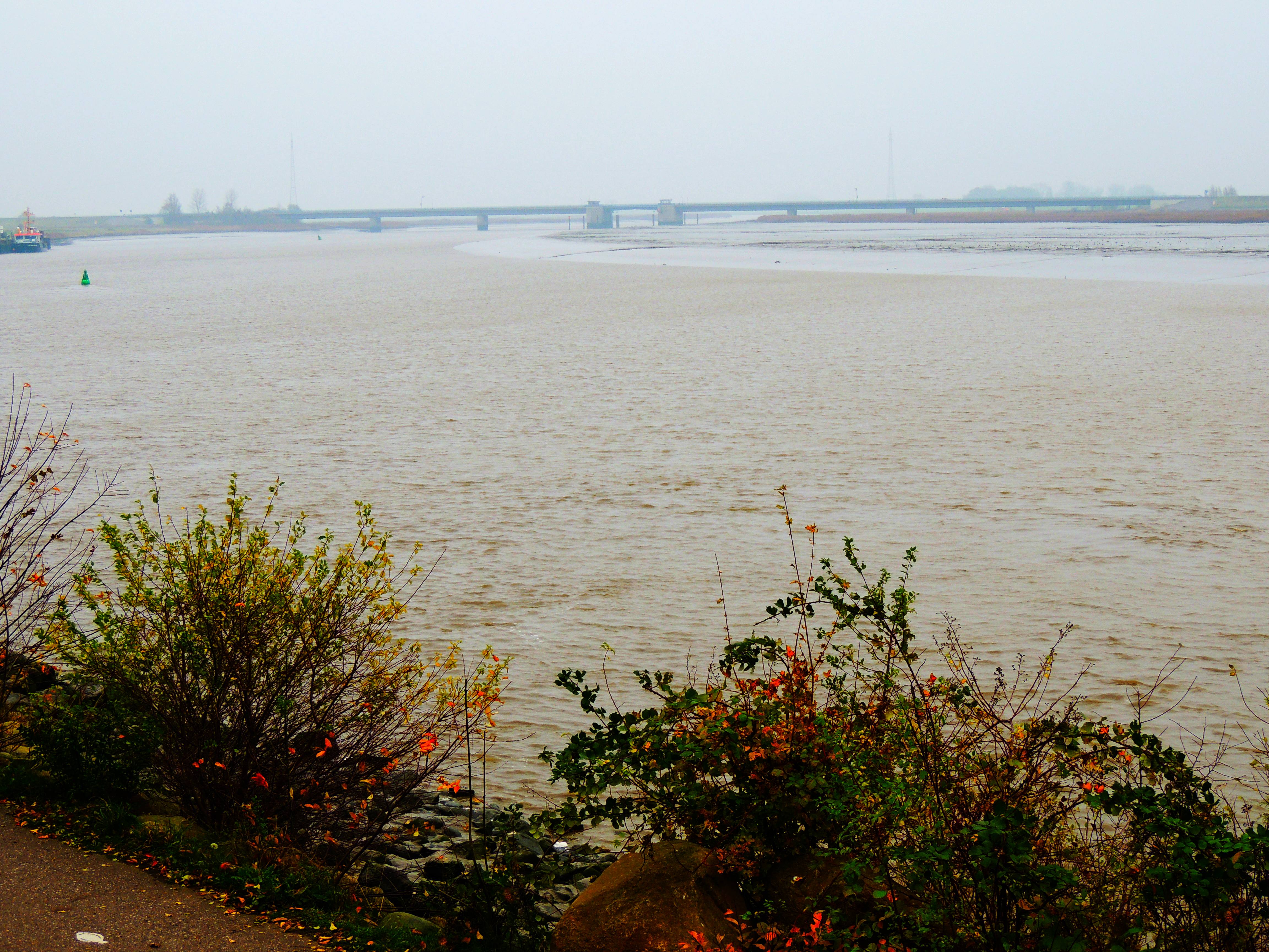
die Eider bei Tönning und Brücke der B5

Foto-18

can not see the forest for all those trees
Topographic Map of Kleve, Germany
Find elevation by address:

Places in Kleve, Germany:
Places near Kleve, Germany:
Wiemerstedt
Hauptstraße 8, Wiemerstedt, Germany
Hennstedt
Nordfeld-Hehm 5, Kleve, Germany
58a
Sankt Annen
Wildpfal
69b
Eichelhäherweg 9, Wesseln, Germany
Wesseln
Heide
Dammsfeld 1, Lehe, Germany
Esmarchstraße 50
Lehe
127a
Lohe-rickelshof
Lohe-rickelshof
38a
Nordhastedt
Oesterende 1, Schalkholz, Germany
Recent Searches:
- Elevation of Erika Dr, Windsor, CA, USA
- Elevation of Village Ln, Finleyville, PA, USA
- Elevation of 24 Oakland Rd #, Scotland, ON N0E 1R0, Canada
- Elevation of Deep Gap Farm Rd E, Mill Spring, NC, USA
- Elevation of Dog Leg Dr, Minden, NV, USA
- Elevation of Dog Leg Dr, Minden, NV, USA
- Elevation of Kambingan Sa Pansol Atbp., Purok 7 Pansol, Candaba, Pampanga, Philippines
- Elevation of Pinewood Dr, New Bern, NC, USA
- Elevation of Mountain View, CA, USA
- Elevation of Foligno, Province of Perugia, Italy