Elevation of Nordfeld-Hehm 5, Kleve, Germany
Location: Germany > Schleswig-holstein > Kleve >
Longitude: 9.13024
Latitude: 54.33688
Elevation: 0m / 0feet
Barometric Pressure: 101KPa
Elevation Map:
Satellite Map:
Related Photos:
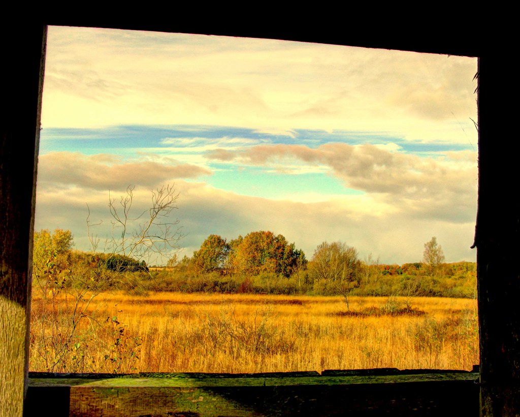
view from the top
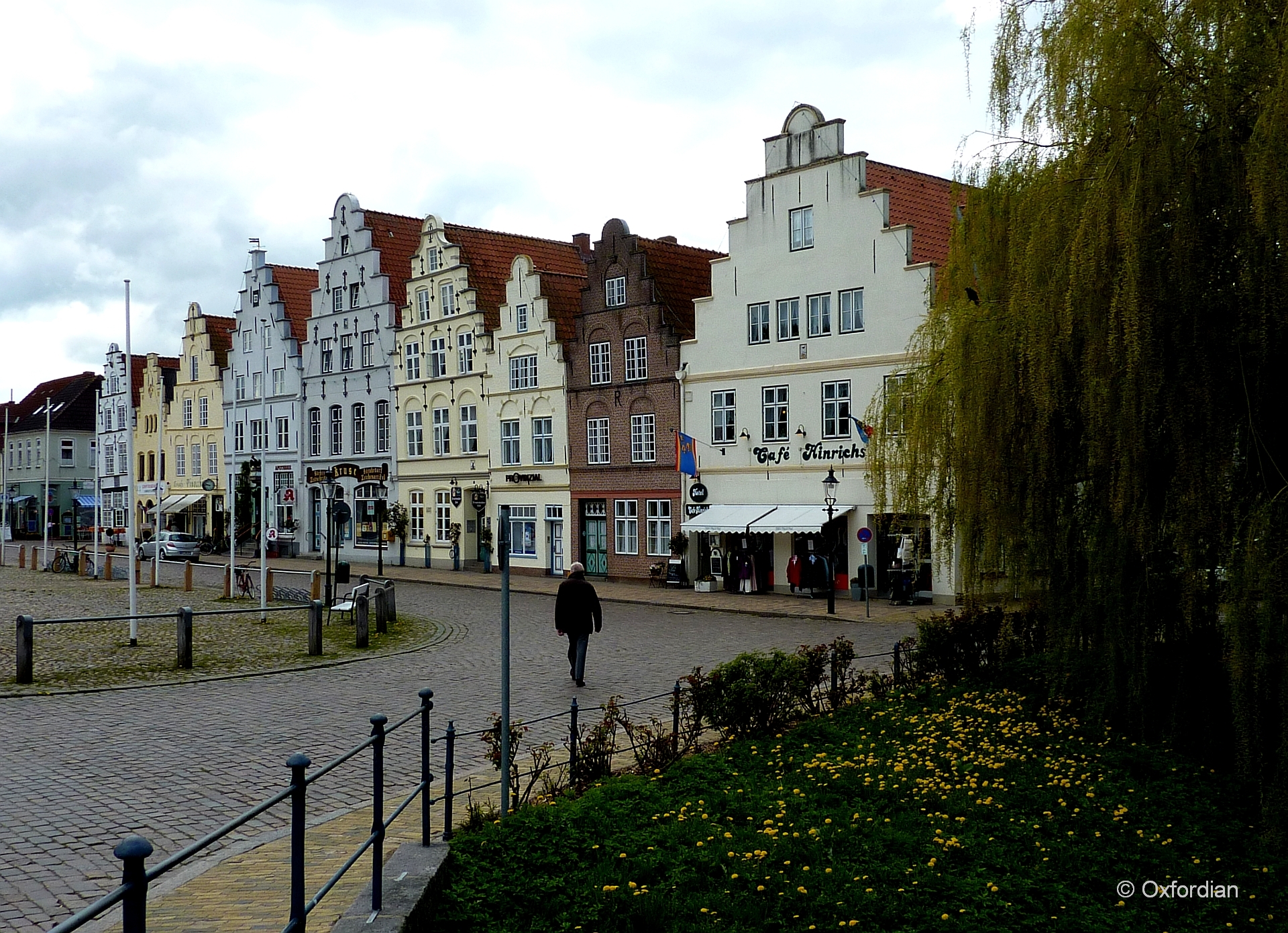
Friedrichstadt - Am Markt
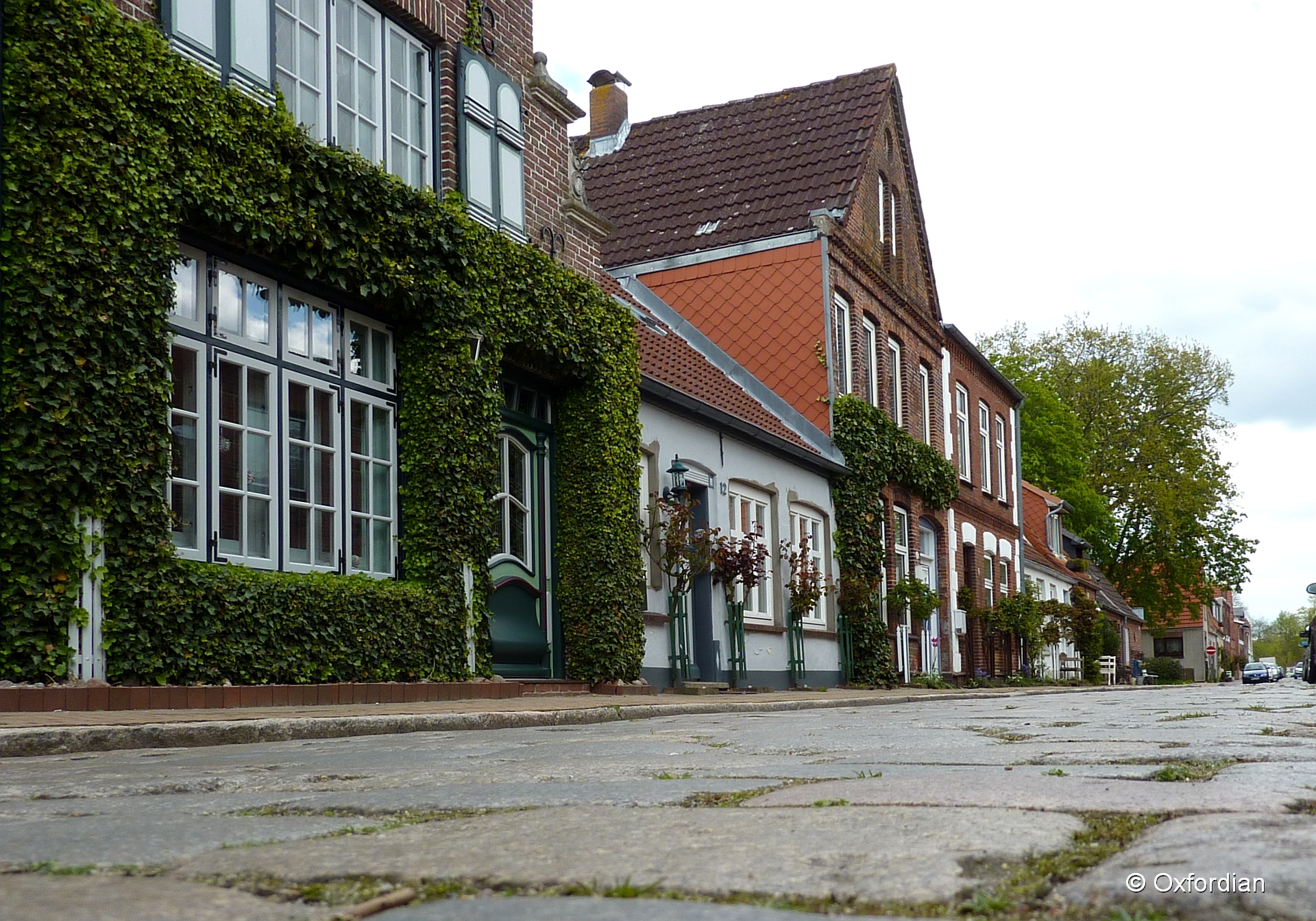
Friedrichstadt - cobblestoned street

Herzog-Adolf-Strasse, Husum.

Husum station
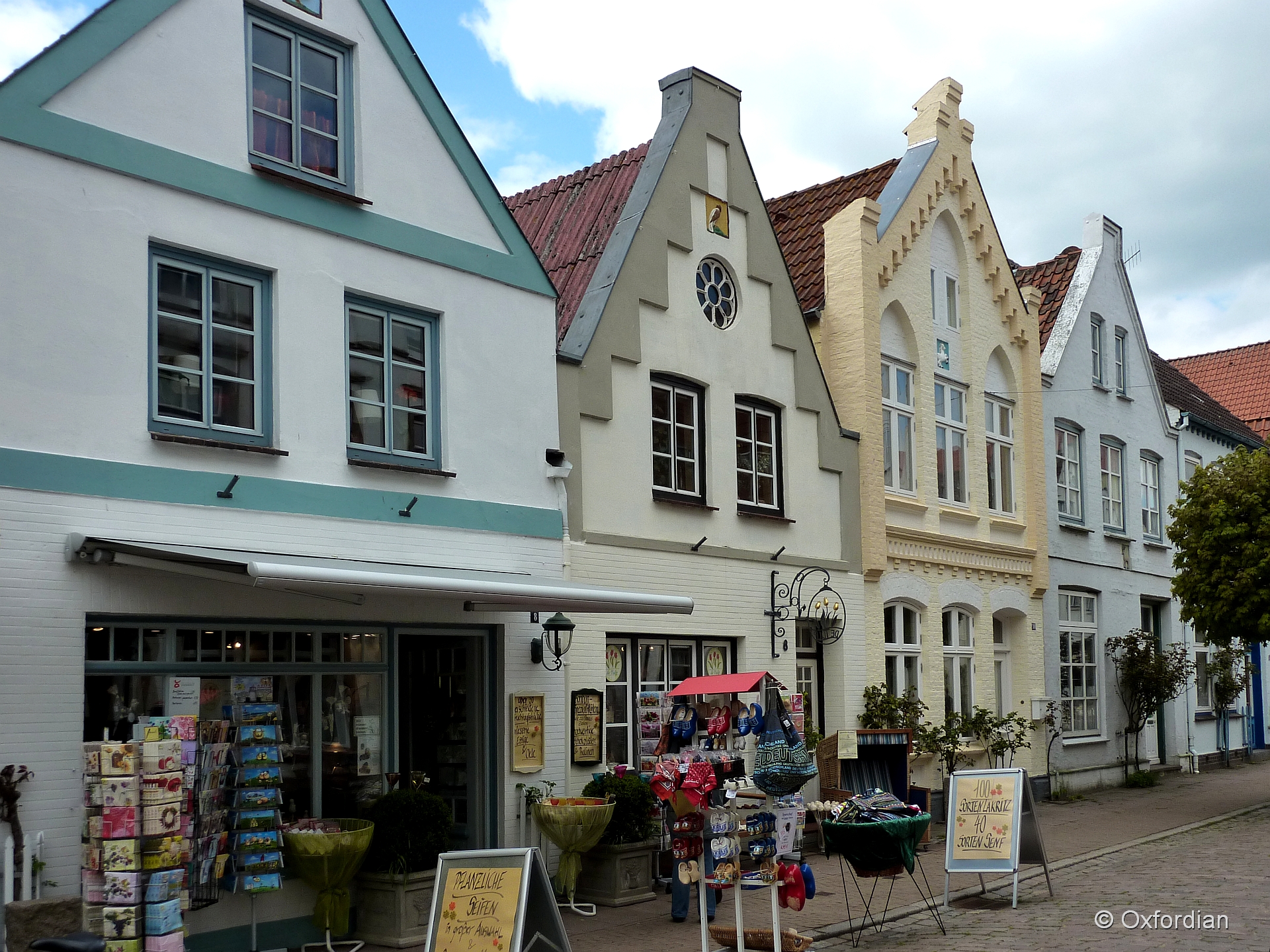
Friedrichstadt - Holländisches Flair

Dark Tree

Tönning

2012-11-21 12.49.47
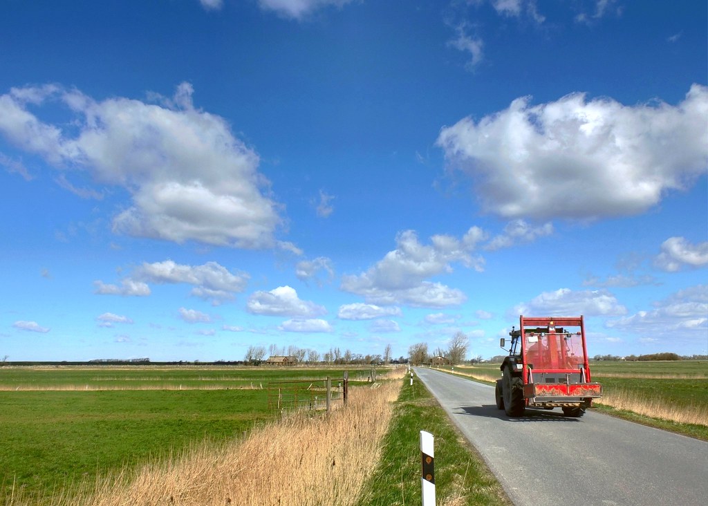
Getting To Work
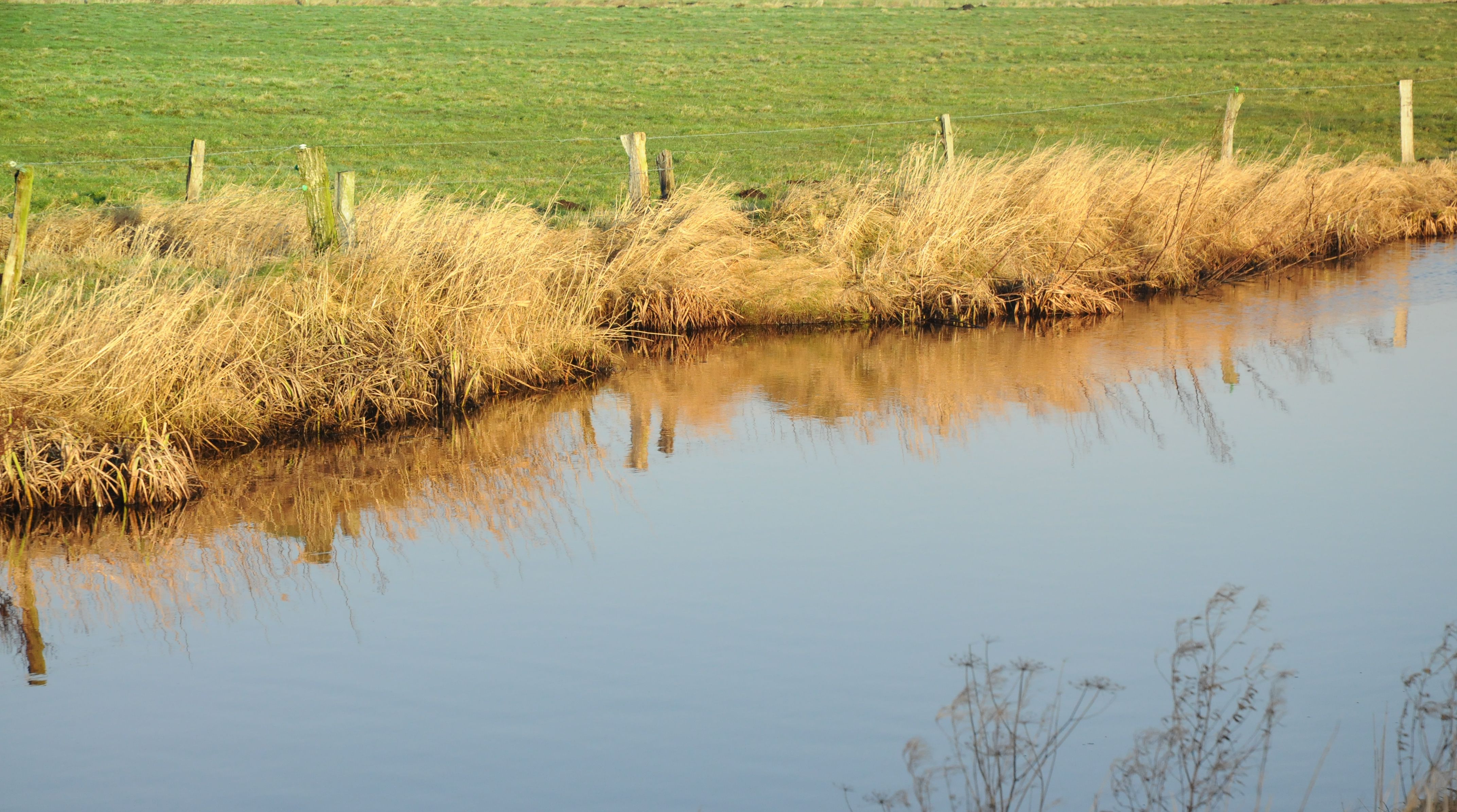
Sorge am Morgen; Börmerkoog, Börm (5)
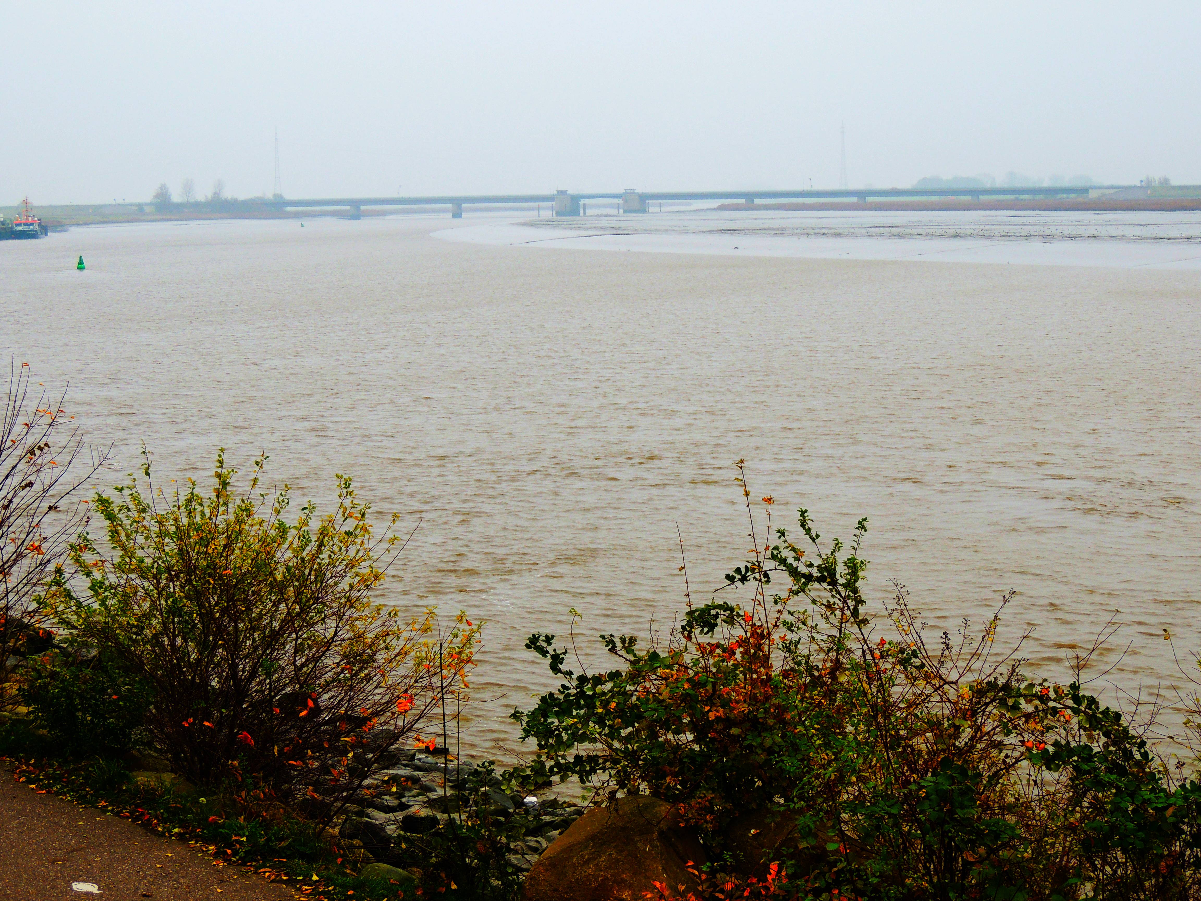
die Eider bei Tönning und Brücke der B5
Topographic Map of Nordfeld-Hehm 5, Kleve, Germany
Find elevation by address:

Places near Nordfeld-Hehm 5, Kleve, Germany:
Kleve
58a
Sankt Annen
Hennstedt
Wiemerstedt
Hauptstraße 8, Wiemerstedt, Germany
Dammsfeld 1, Lehe, Germany
Lehe
Wildpfal
69b
Eichelhäherweg 9, Wesseln, Germany
Wesseln
Heide
Esmarchstraße 50
Schückingstraße 11
Oesterende 1, Schalkholz, Germany
Schalkholz
Schwesing
Hauptstraße 5, Schwesing, Germany
127a
Recent Searches:
- Elevation of Dog Leg Dr, Minden, NV, USA
- Elevation of Dog Leg Dr, Minden, NV, USA
- Elevation of Kambingan Sa Pansol Atbp., Purok 7 Pansol, Candaba, Pampanga, Philippines
- Elevation of Pinewood Dr, New Bern, NC, USA
- Elevation of Mountain View, CA, USA
- Elevation of Foligno, Province of Perugia, Italy
- Elevation of Blauwestad, Netherlands
- Elevation of Bella Terra Blvd, Estero, FL, USA
- Elevation of Estates Loop, Priest River, ID, USA
- Elevation of Woodland Oak Pl, Thousand Oaks, CA, USA