Elevation of Sawtooth Ridge South, Montana, USA
Location: United States > Montana > Augusta >
Longitude: -112.67722
Latitude: 47.5555555
Elevation: 2326m / 7631feet
Barometric Pressure: 76KPa
Elevation Map:
Satellite Map:
Related Photos:
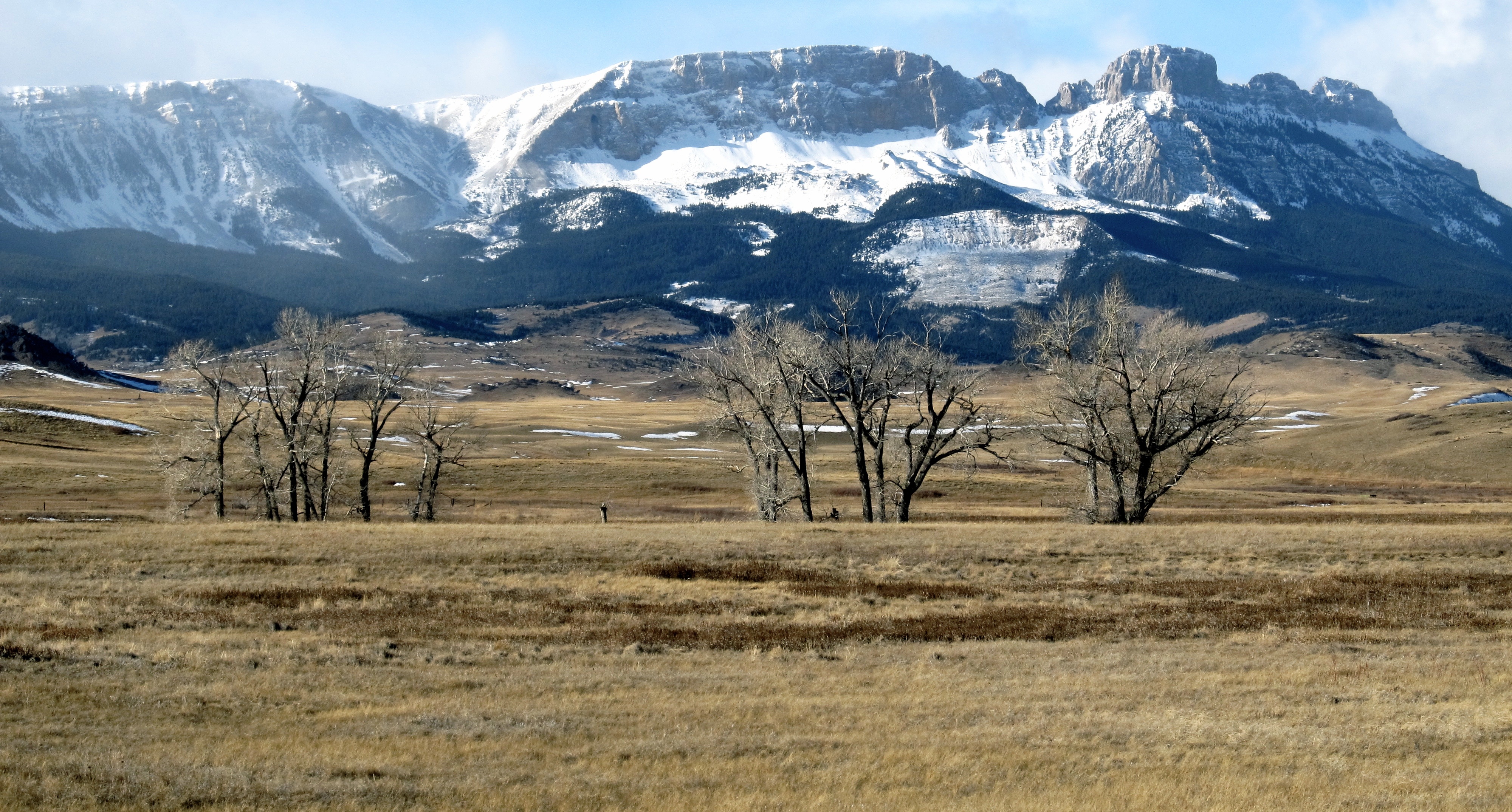
Rocky Mountain Front. Montana
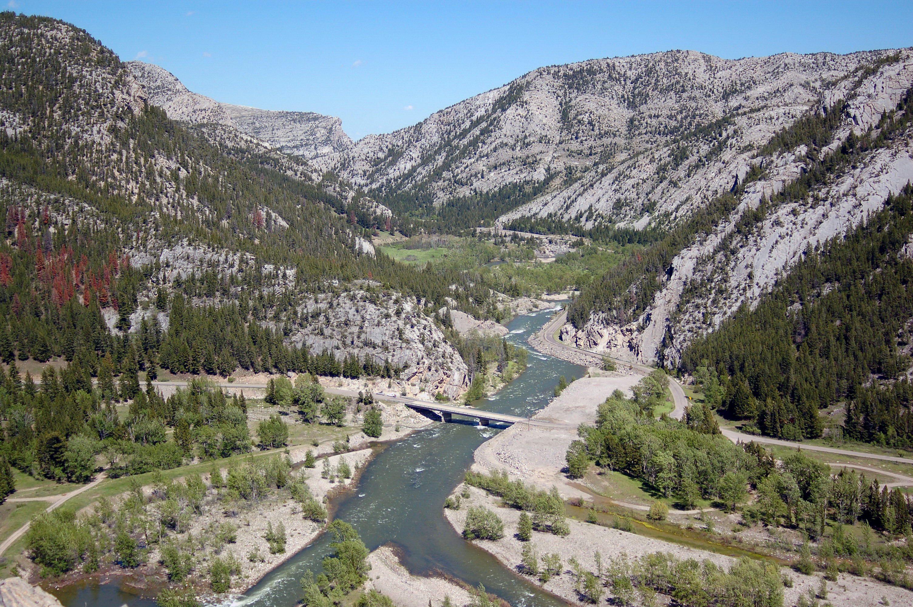
Sun River Canyon
Topographic Map of Sawtooth Ridge South, Montana, USA
Find elevation by address:

Places near Sawtooth Ridge South, Montana, USA:
Sawtooth Ridge
Lime Ridge
Mccarty Hill
Fairview Mountain
Castle Reef
Allan Mountain
Gibson Reservoir
Cyanide Mountain
Renshaw Mountain
Grass Hill
Arsenic Mountain
Crown Mountain
Wood Creek Hogback
Sheep Reef
Halfmoon Peak
Steamboat Mountain
Cigarette Rock
Rocky Mountain
Grassy Hills Hp
Steamboat Mountain East
Recent Searches:
- Elevation of Corso Fratelli Cairoli, 35, Macerata MC, Italy
- Elevation of Tallevast Rd, Sarasota, FL, USA
- Elevation of 4th St E, Sonoma, CA, USA
- Elevation of Black Hollow Rd, Pennsdale, PA, USA
- Elevation of Oakland Ave, Williamsport, PA, USA
- Elevation of Pedrógão Grande, Portugal
- Elevation of Klee Dr, Martinsburg, WV, USA
- Elevation of Via Roma, Pieranica CR, Italy
- Elevation of Tavkvetili Mountain, Georgia
- Elevation of Hartfords Bluff Cir, Mt Pleasant, SC, USA