Elevation of Rocky Mountain, Montana, USA
Location: United States > Montana > Choteau >
Longitude: -112.80032
Latitude: 47.812447
Elevation: 2841m / 9321feet
Barometric Pressure: 72KPa
Elevation Map:
Satellite Map:
Related Photos:
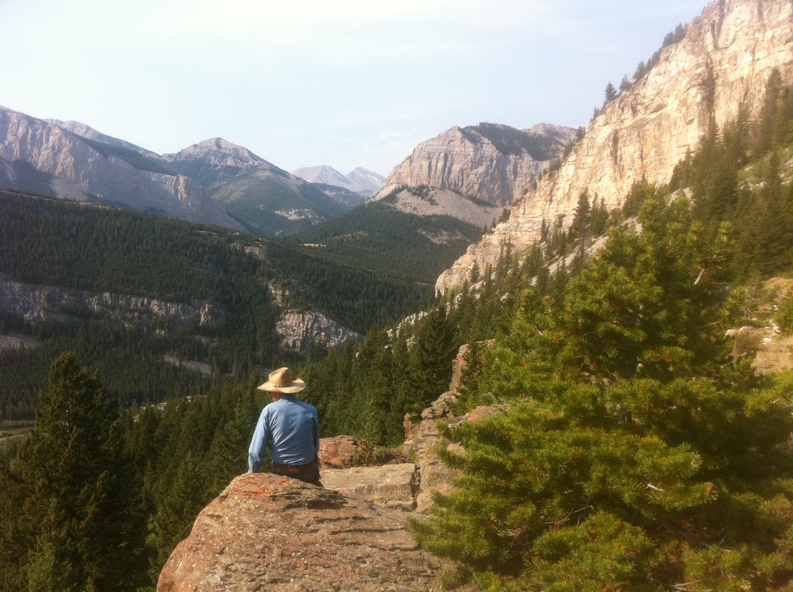
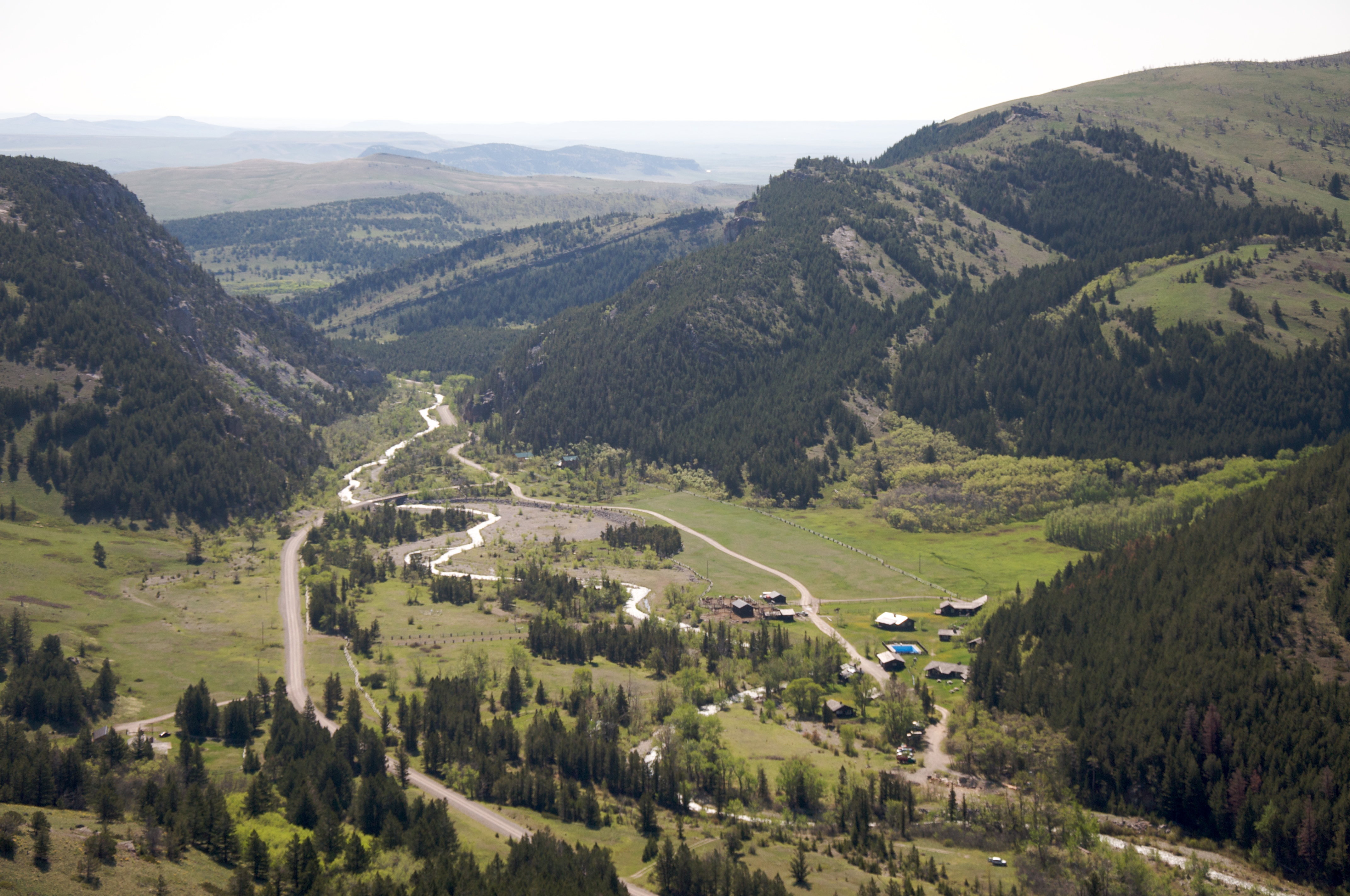
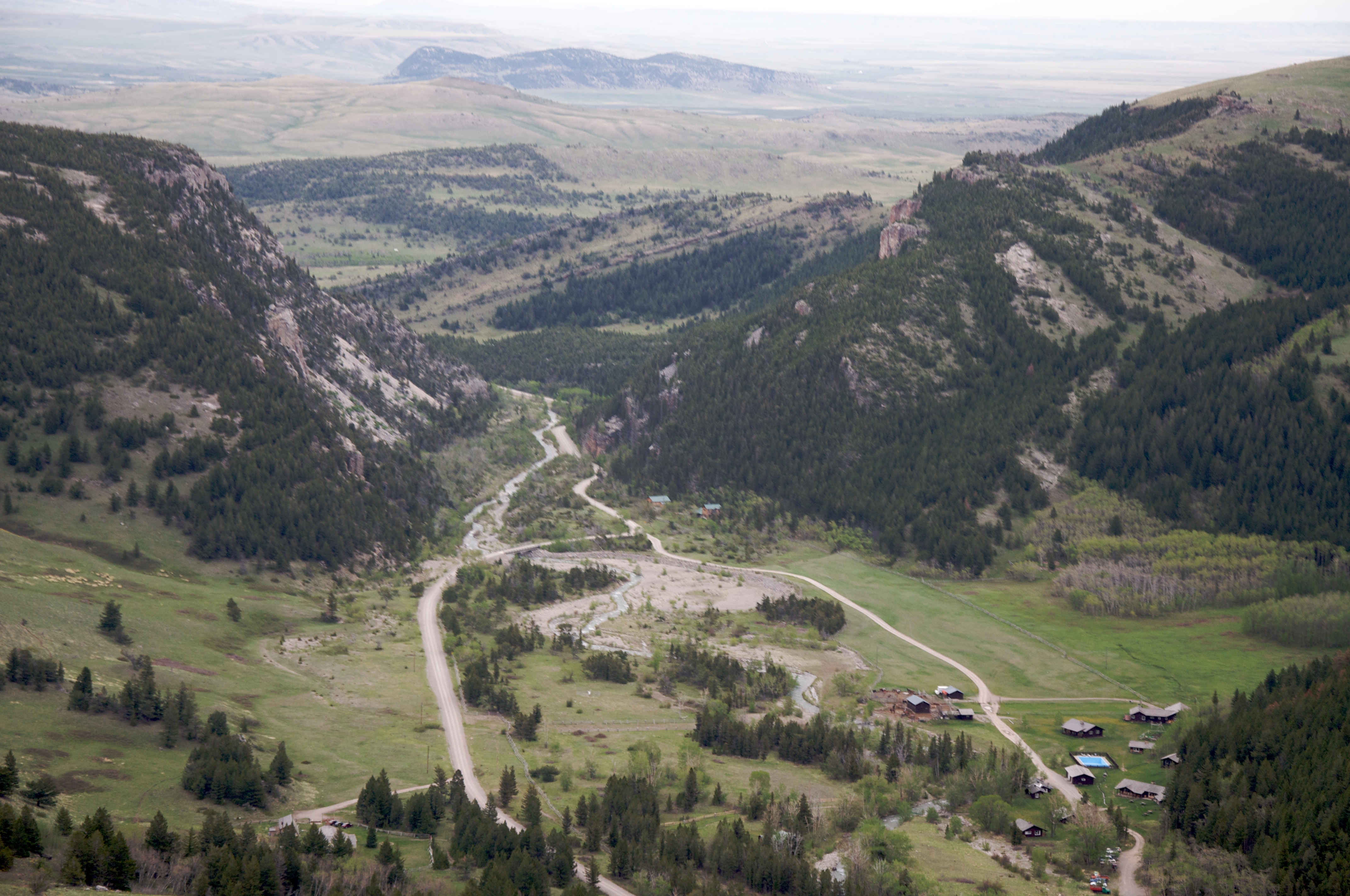
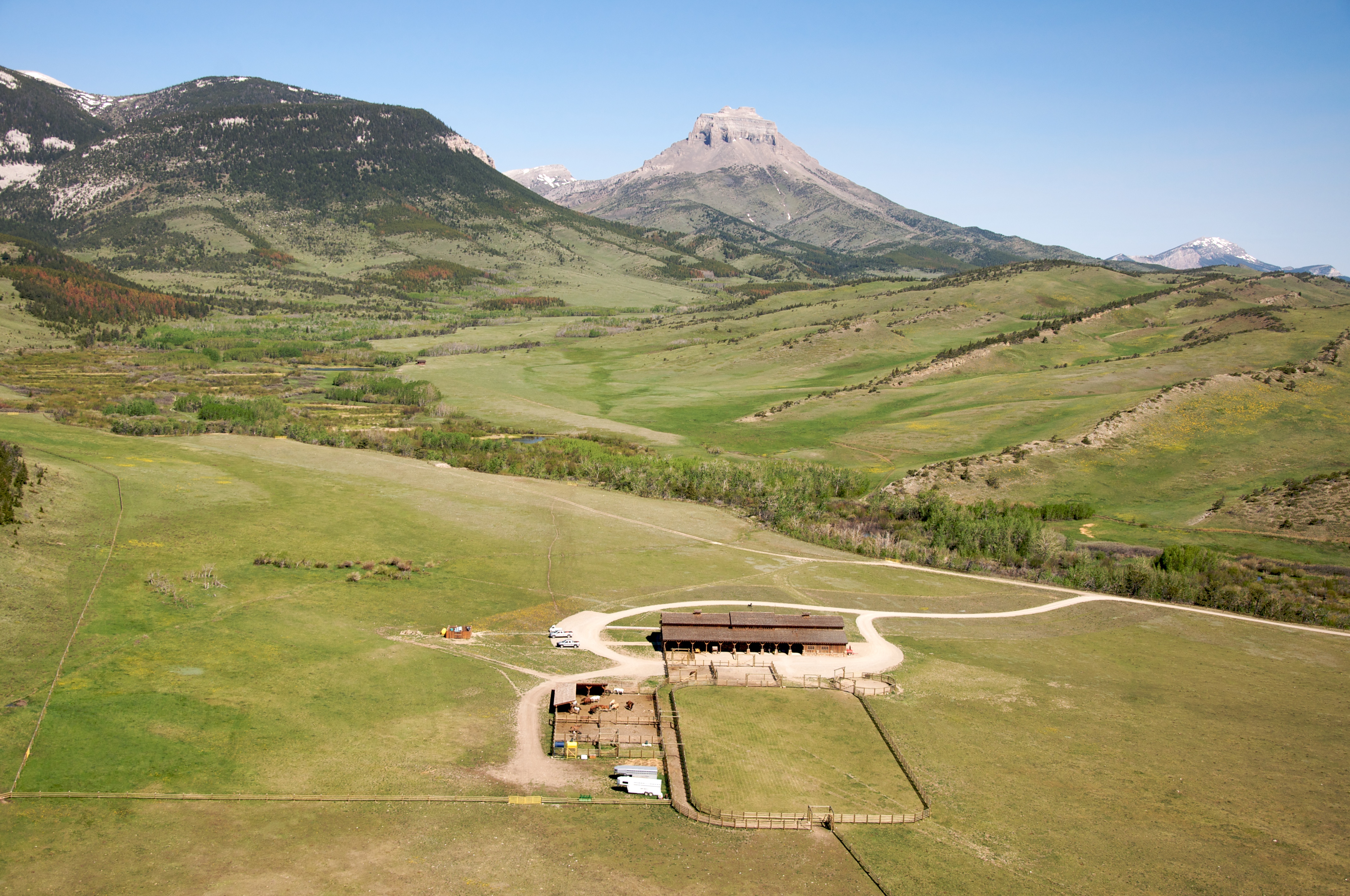
Overlooking the Seven Lazy P Ranch, on Teton Canyon Road, near Choteau, Montana
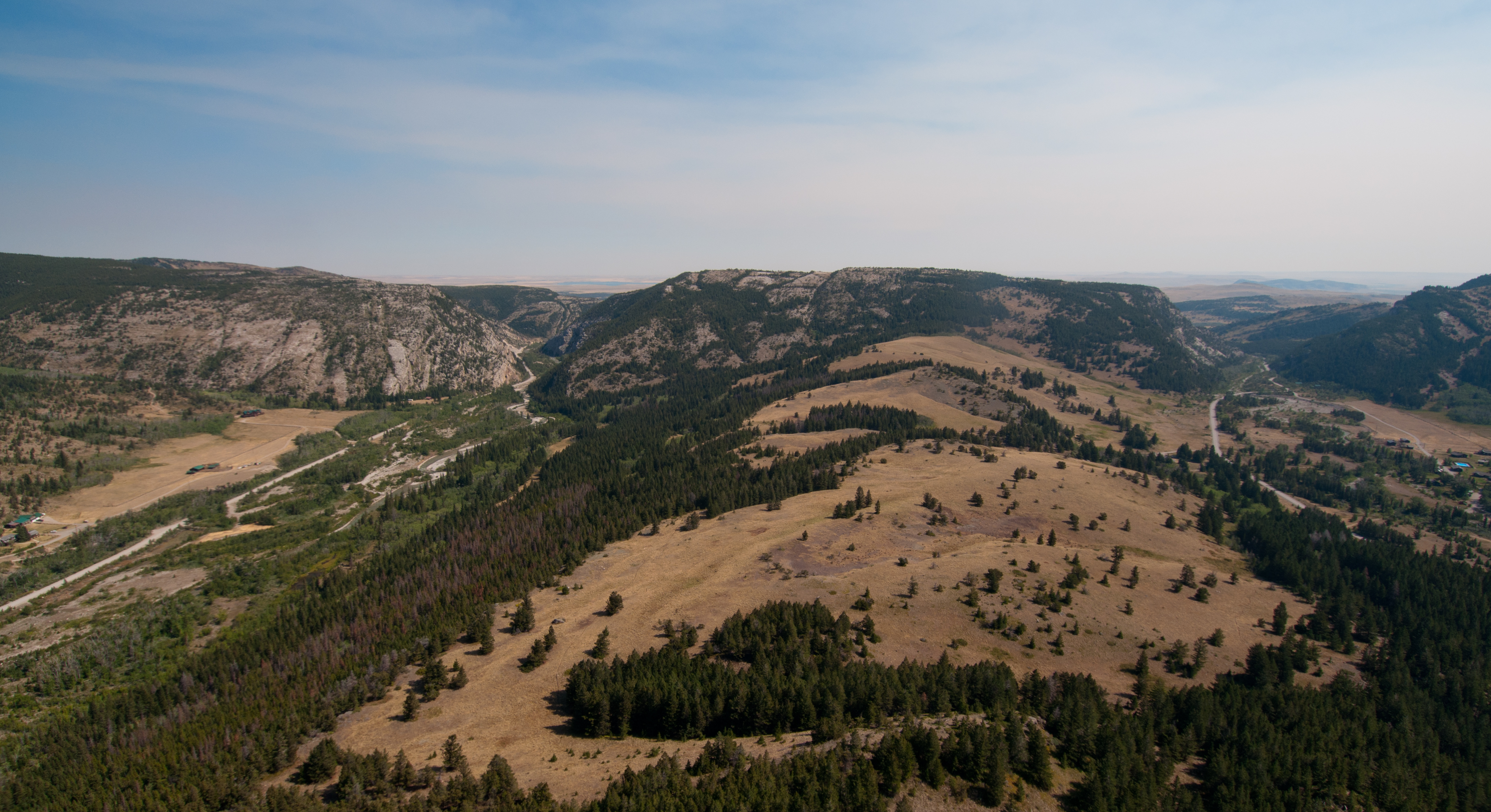
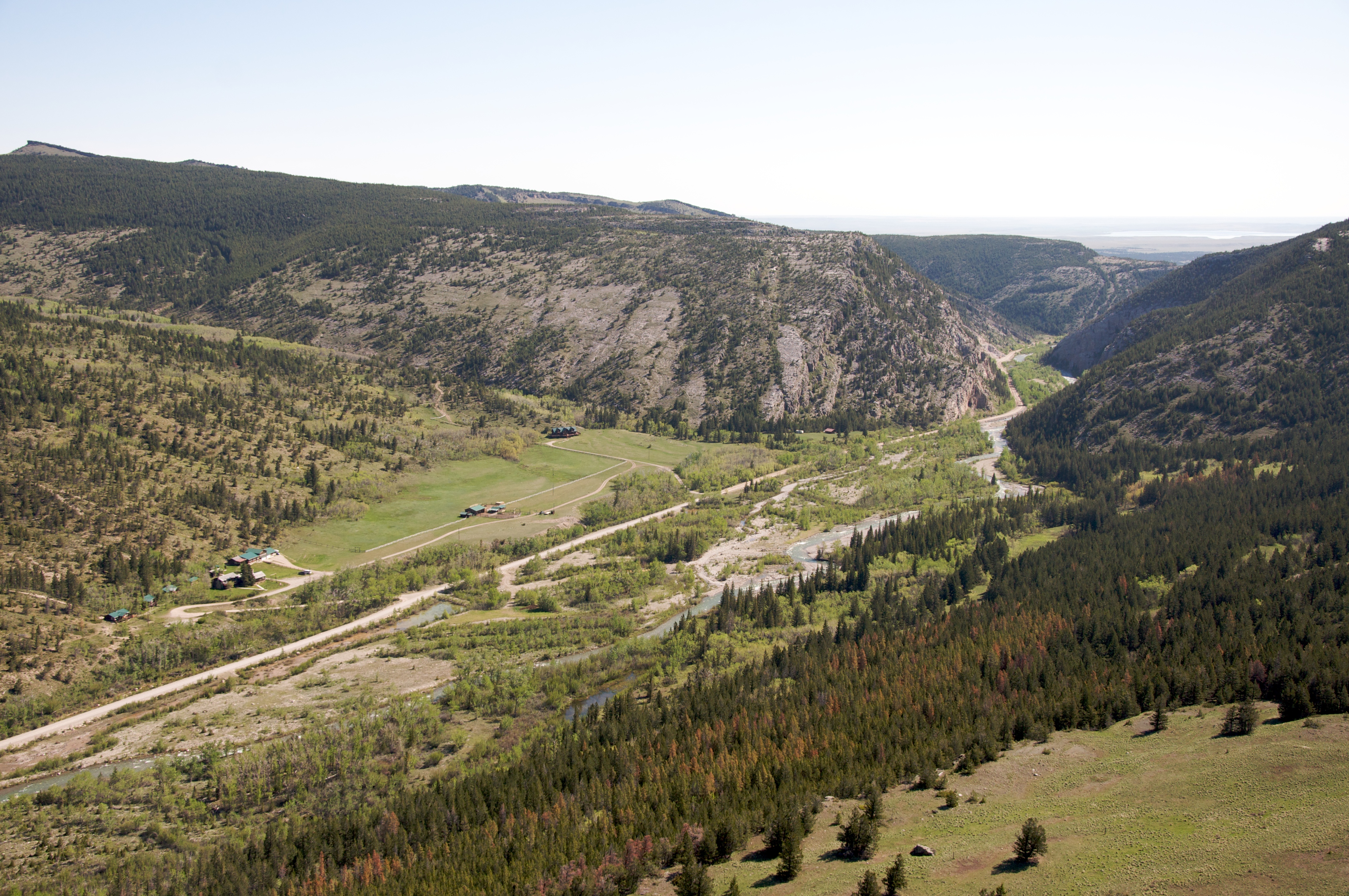
Teton River flows past Crab Butte at the Seven Lazy P Ranch, near Choteau, Montana
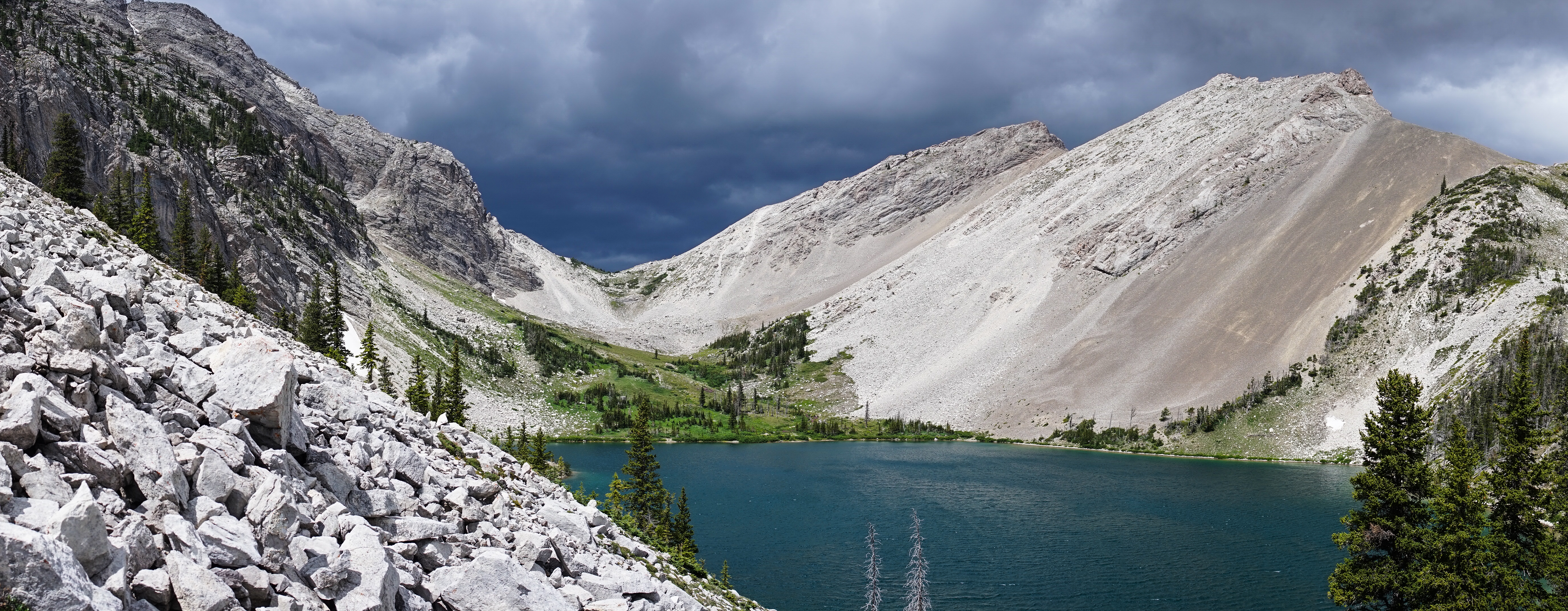
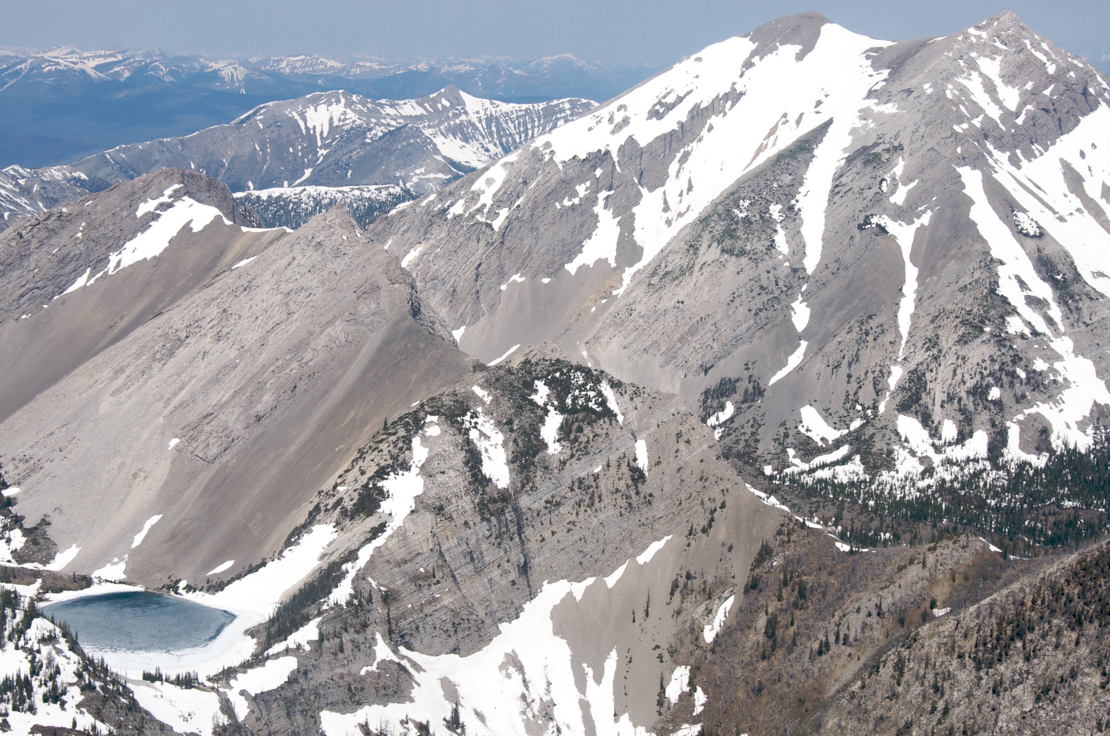
Our Lake
Our Lake
Sunrise on Headquarters Pass during the 53-mile Run Across The Bob
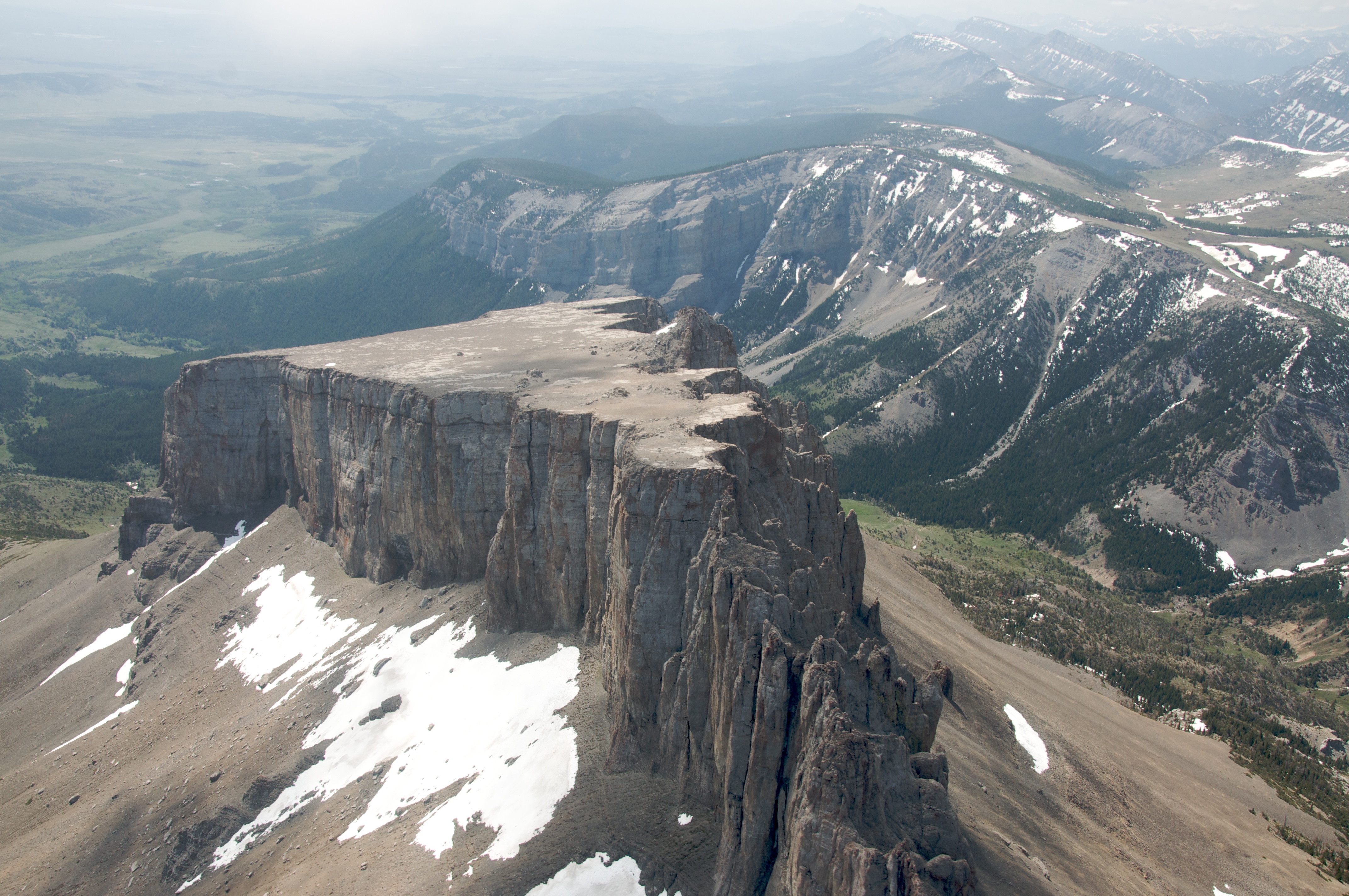
Ear Mountain
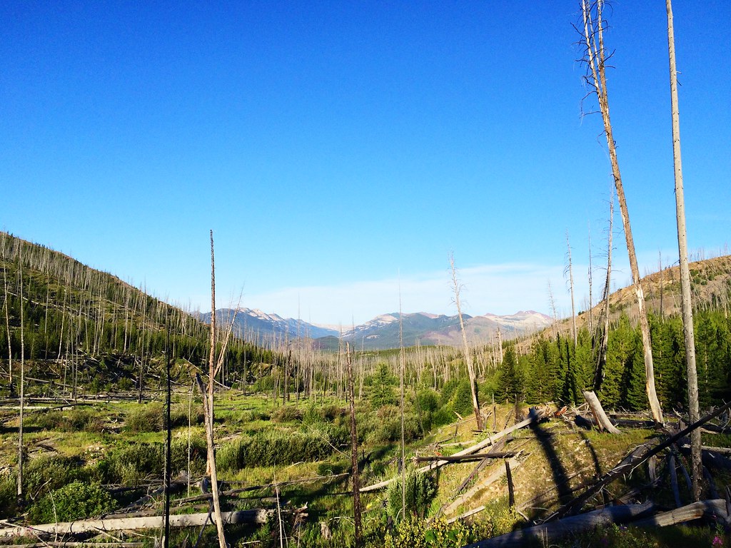
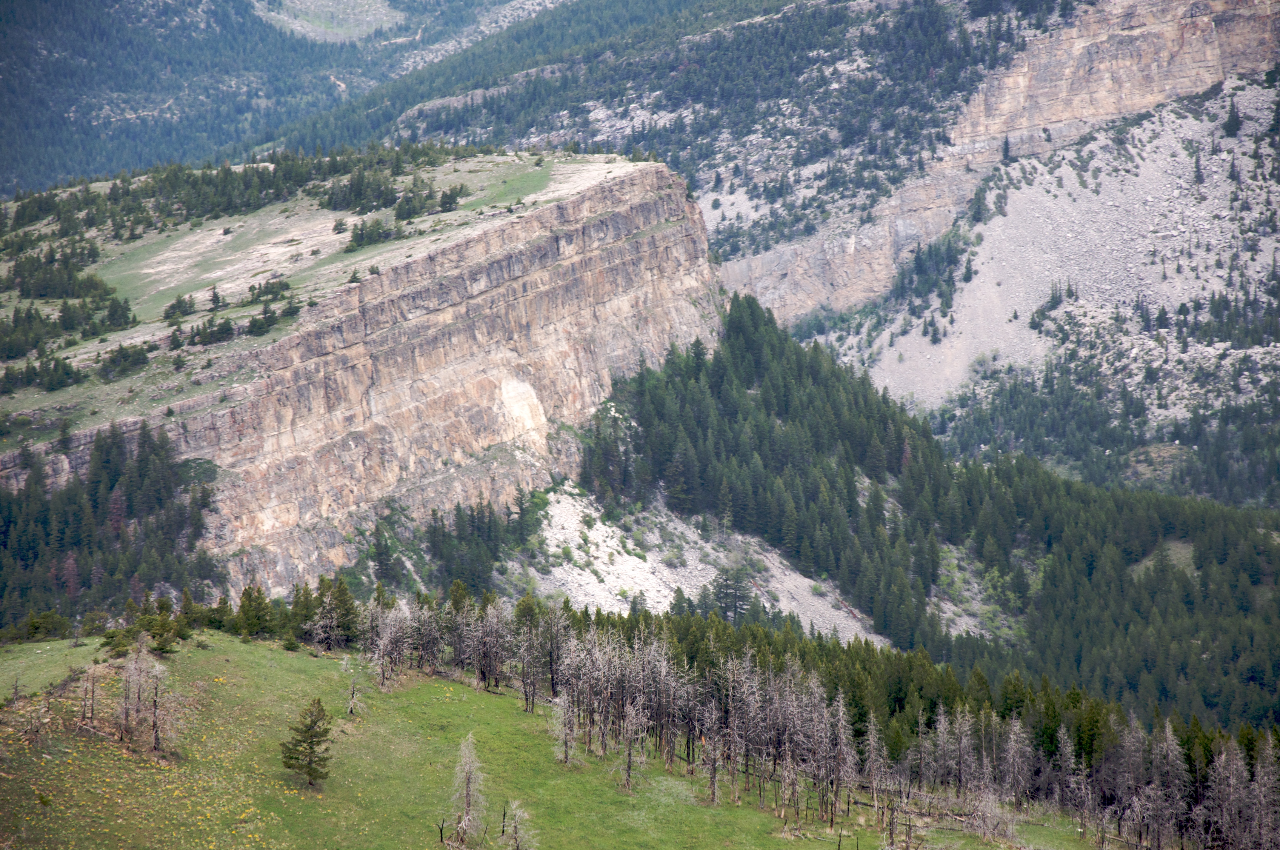
The Bob
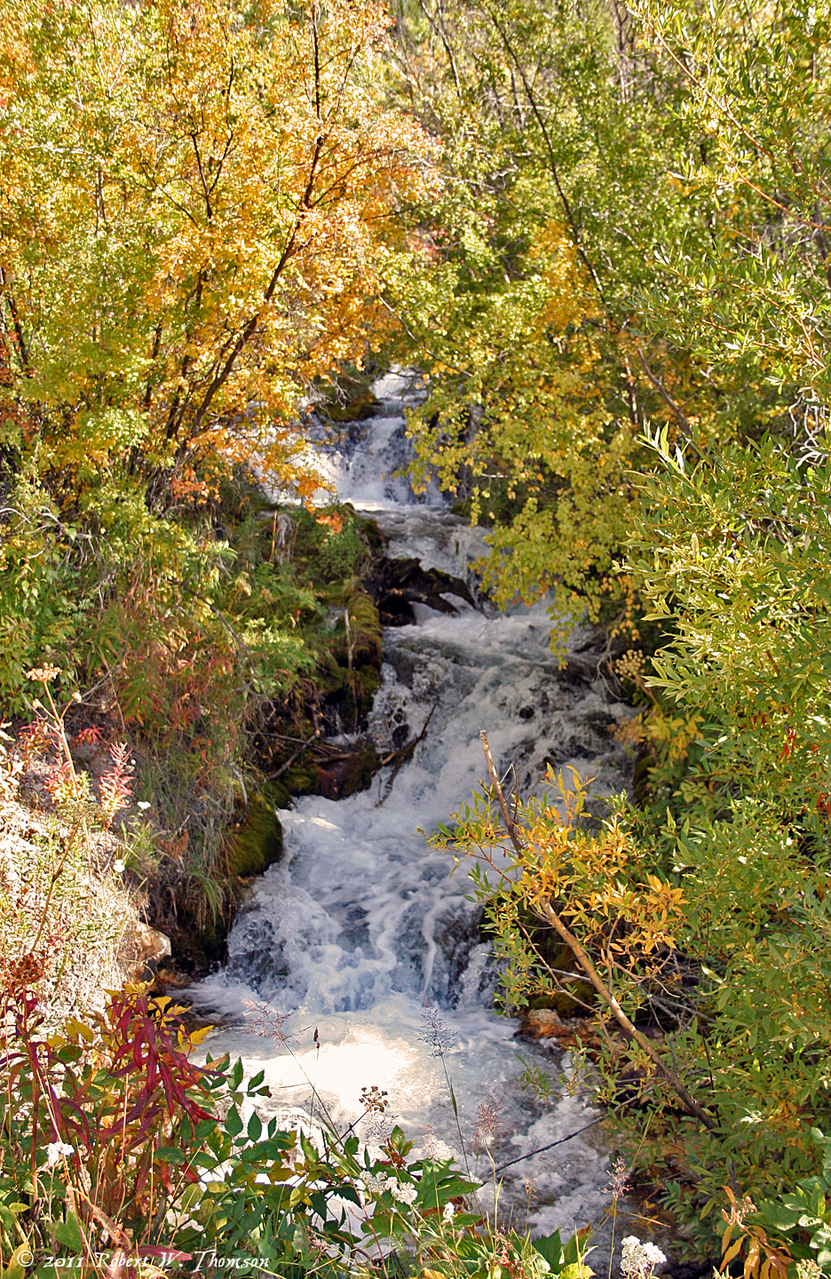
Rocky Mountain Waterfall
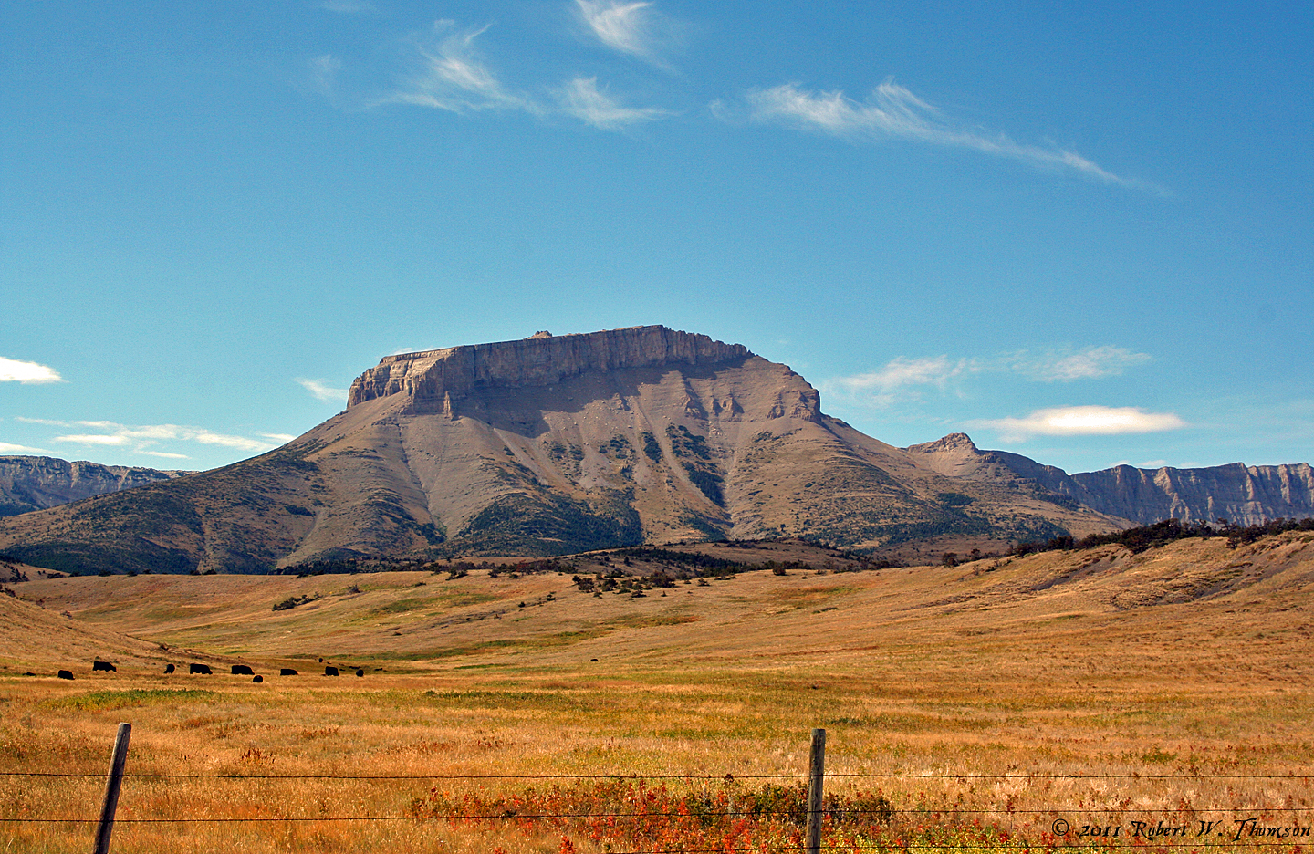
Ear Mountain
124 Pine Butte - Circle 8 Guest Ranch
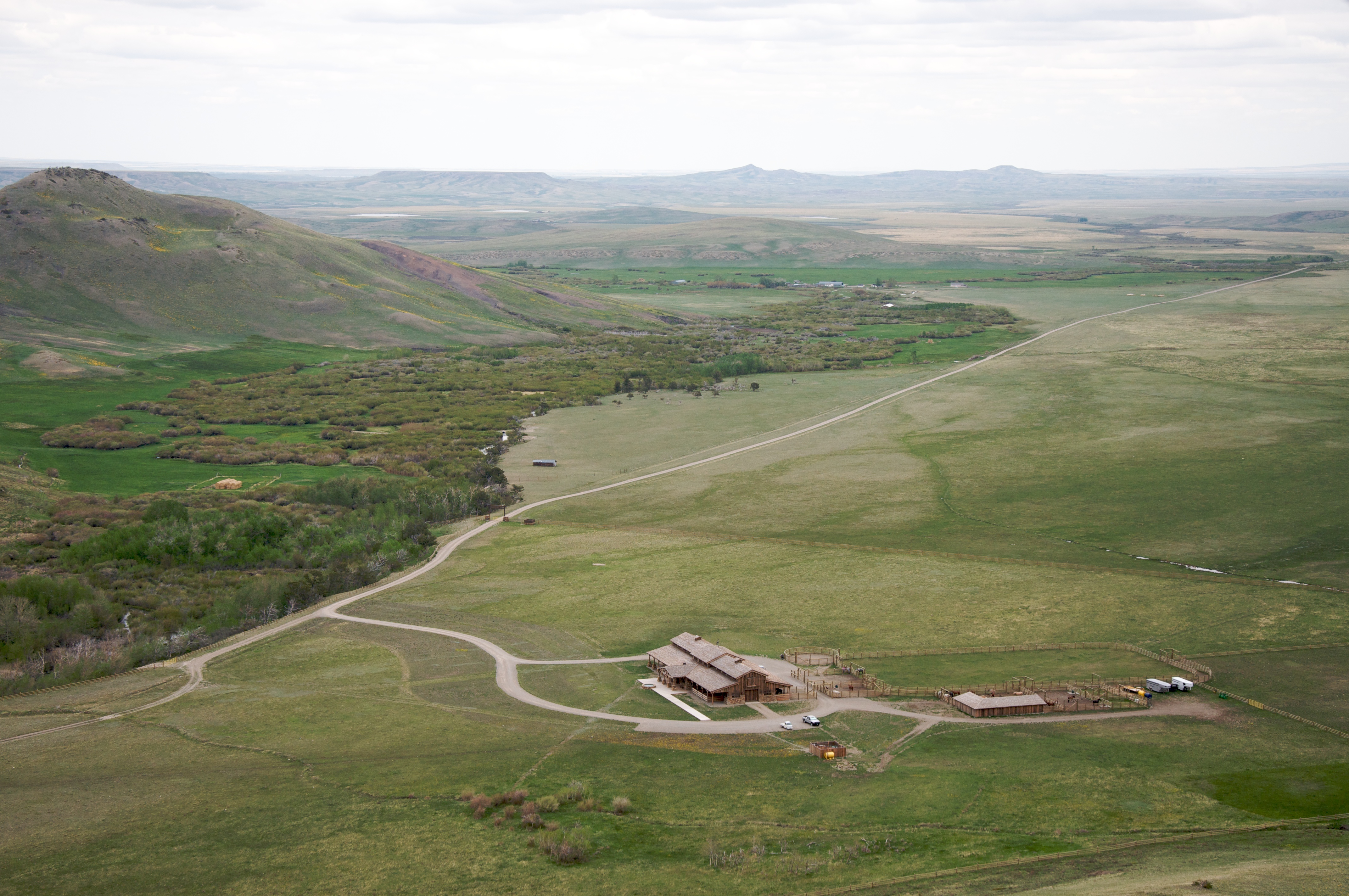
Salmond Ranch stables
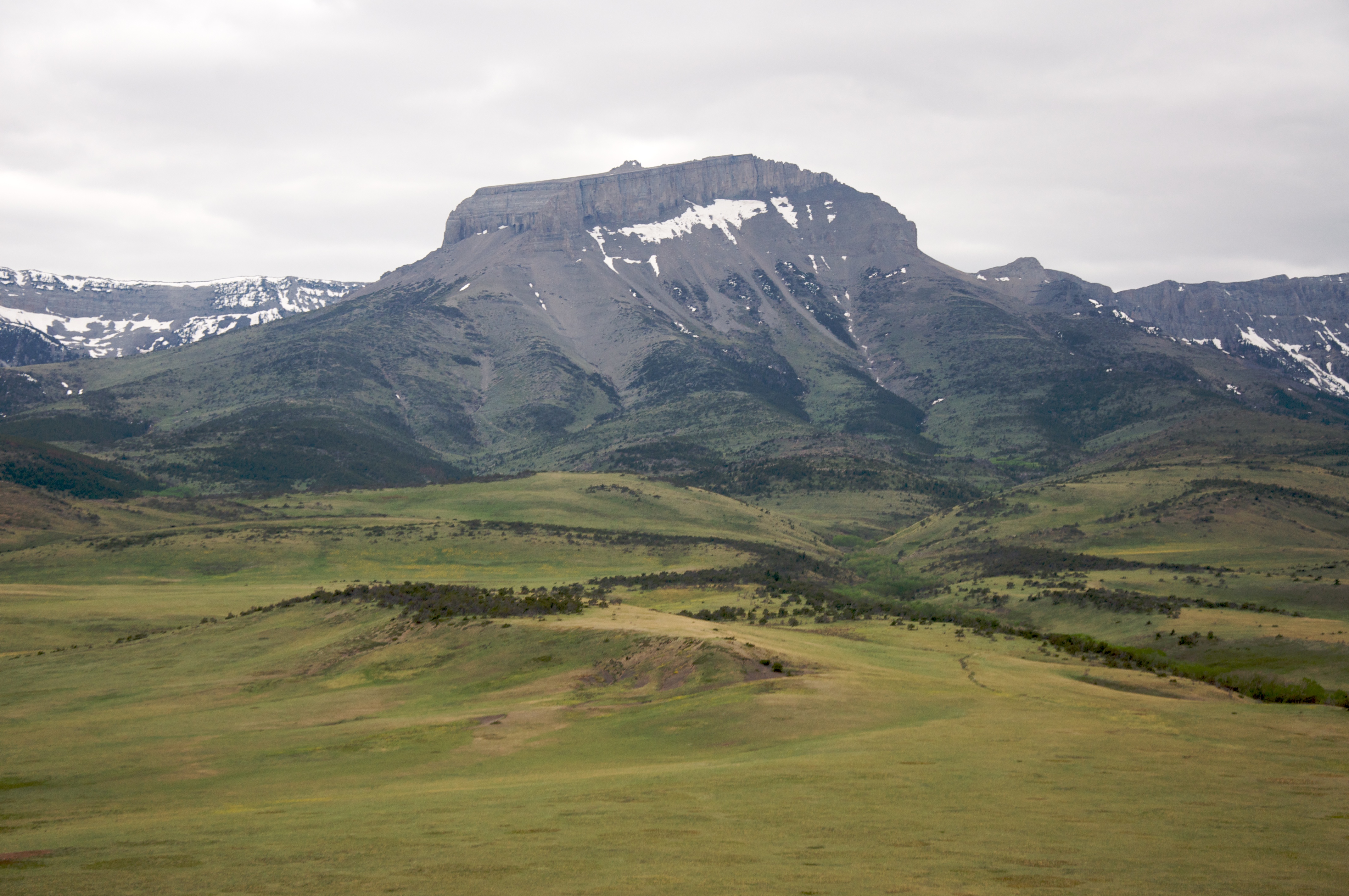
Ear Mountain
Circle 8
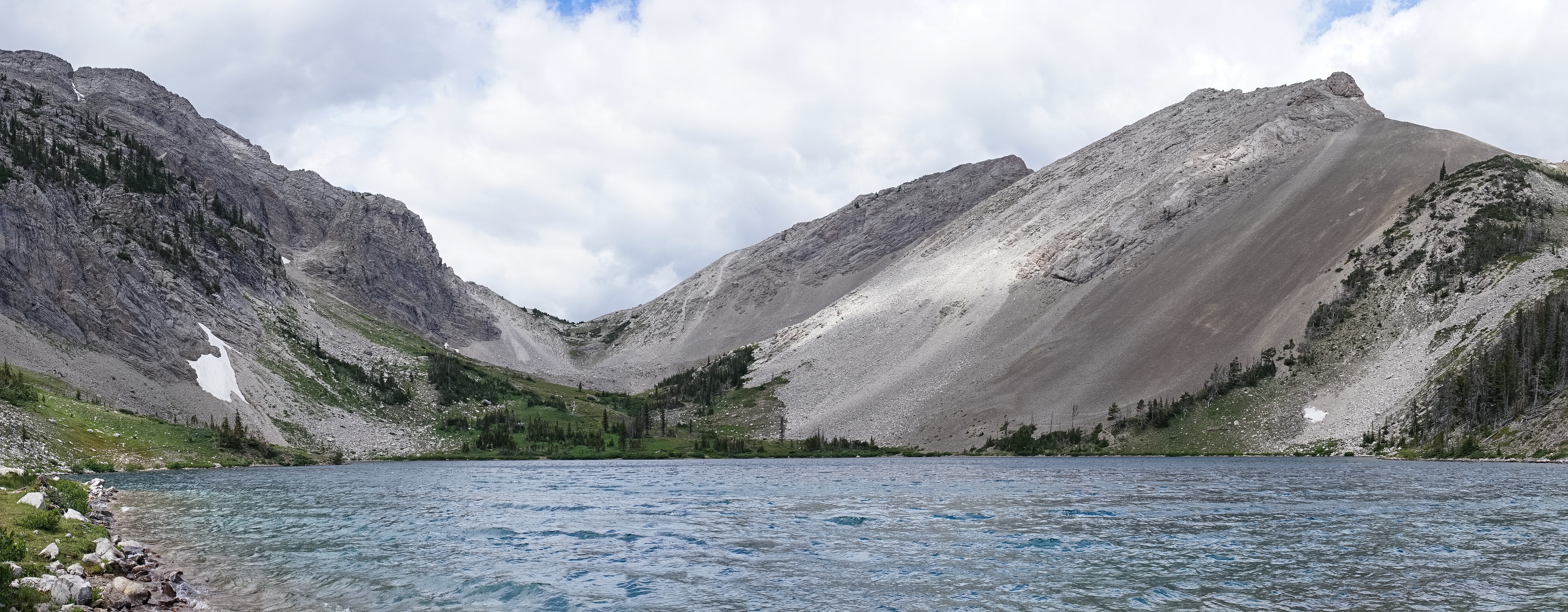
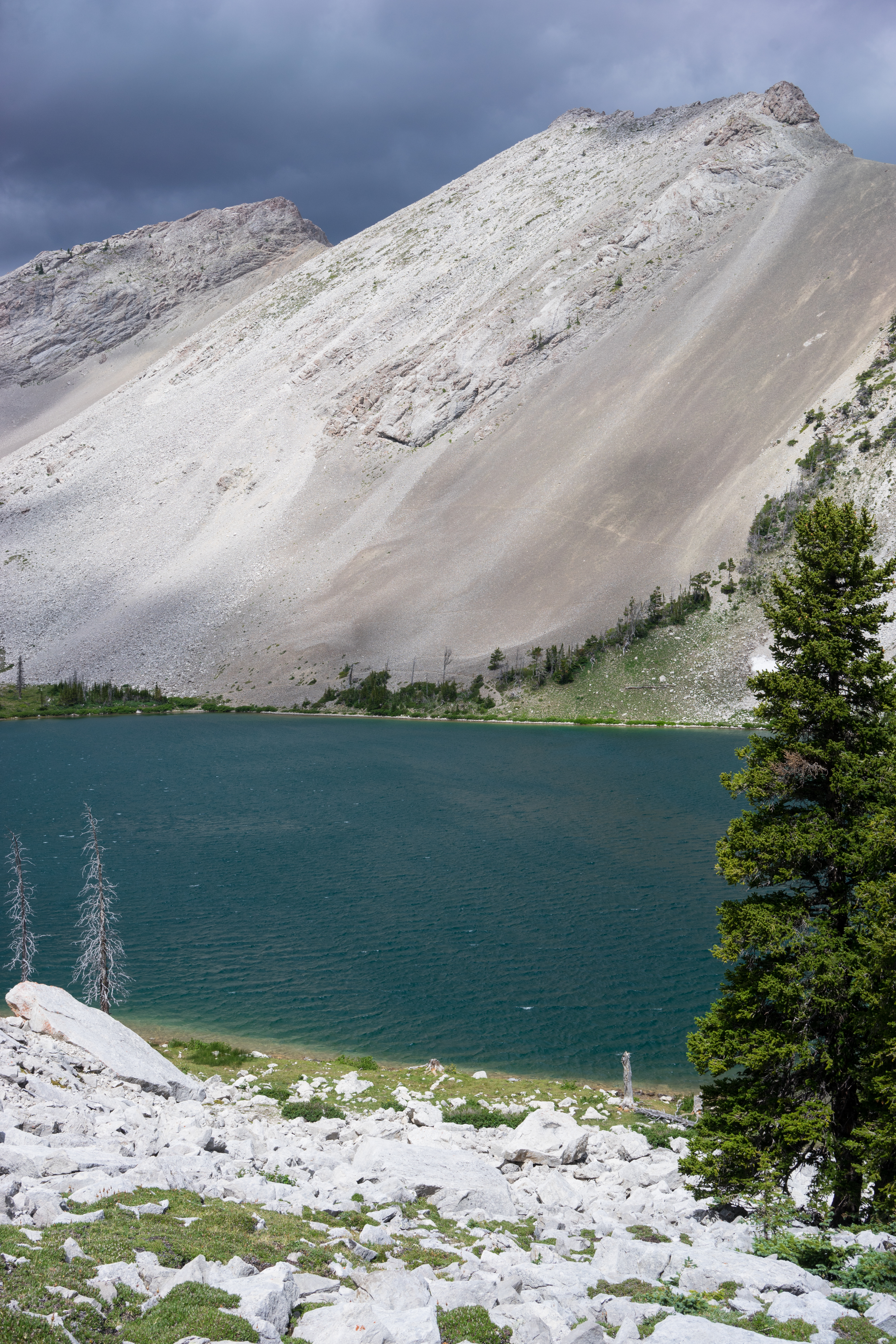
Our Lake
Seven Lazy P Guest Ranch
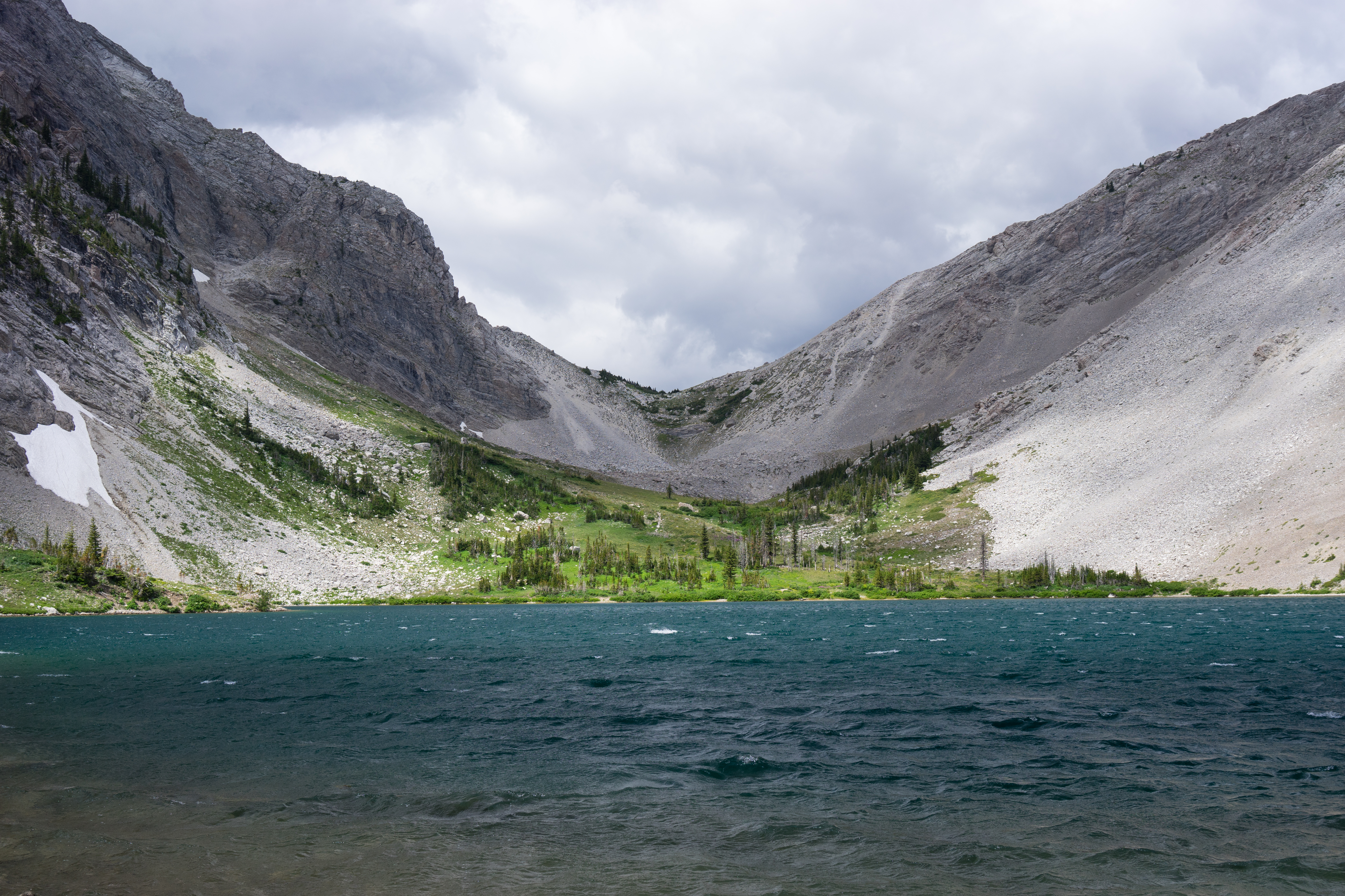
Our Lake
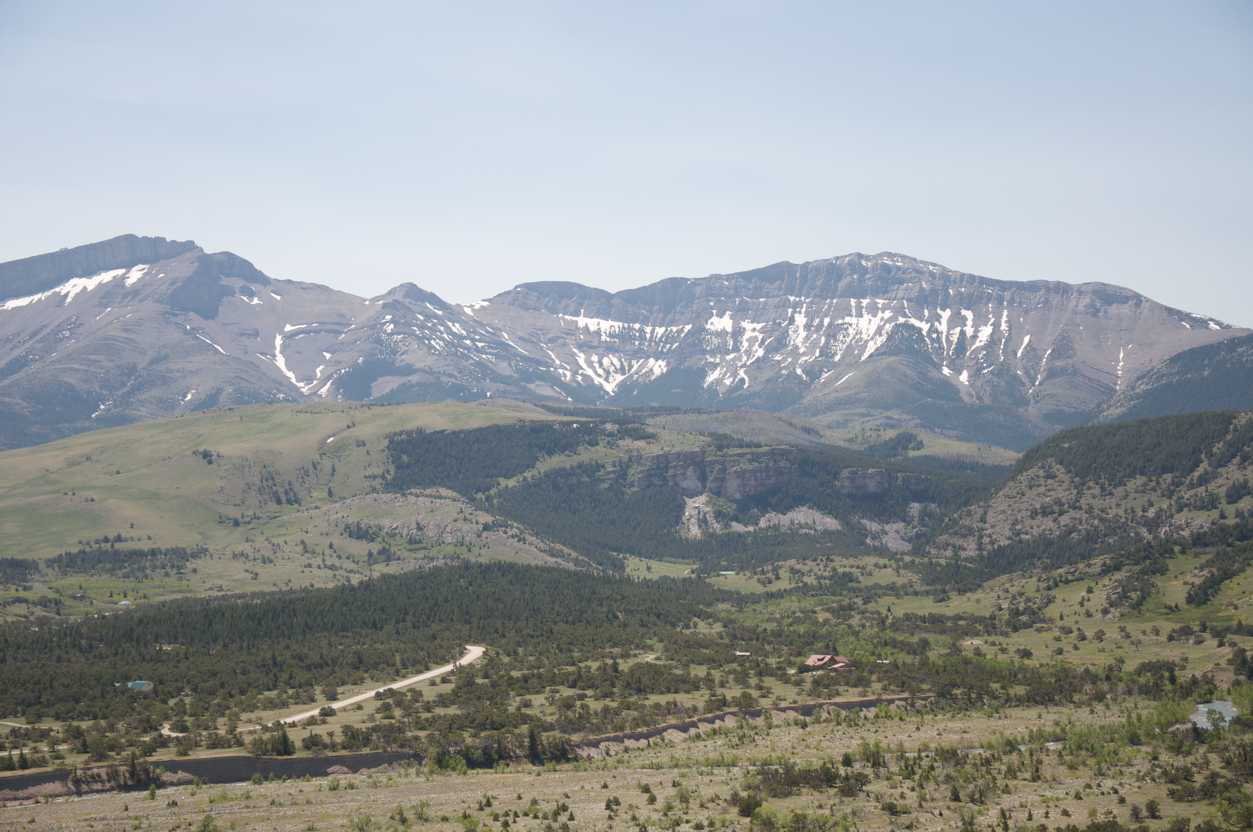
Flathead above Circle 8
Stable south of Pine Butte
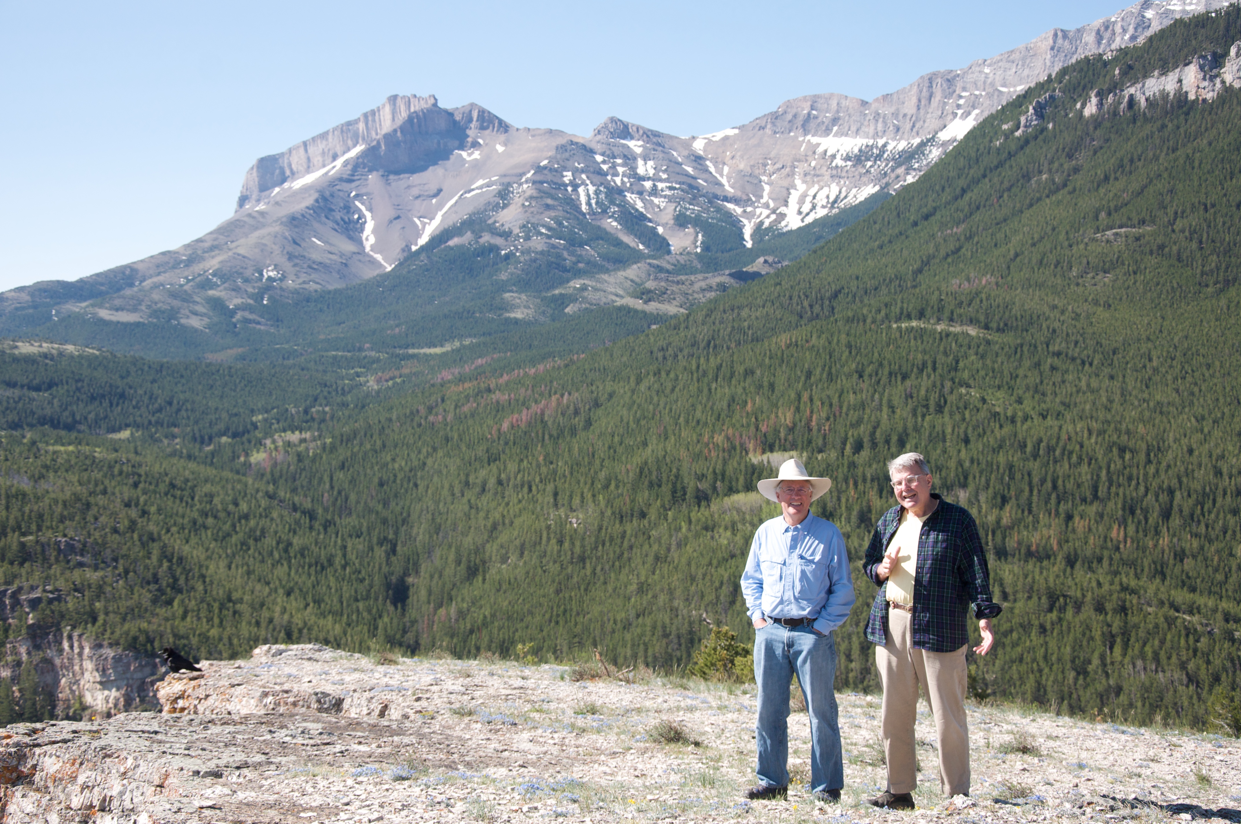
Spencer and Dave
Acorn development near Pine Butte
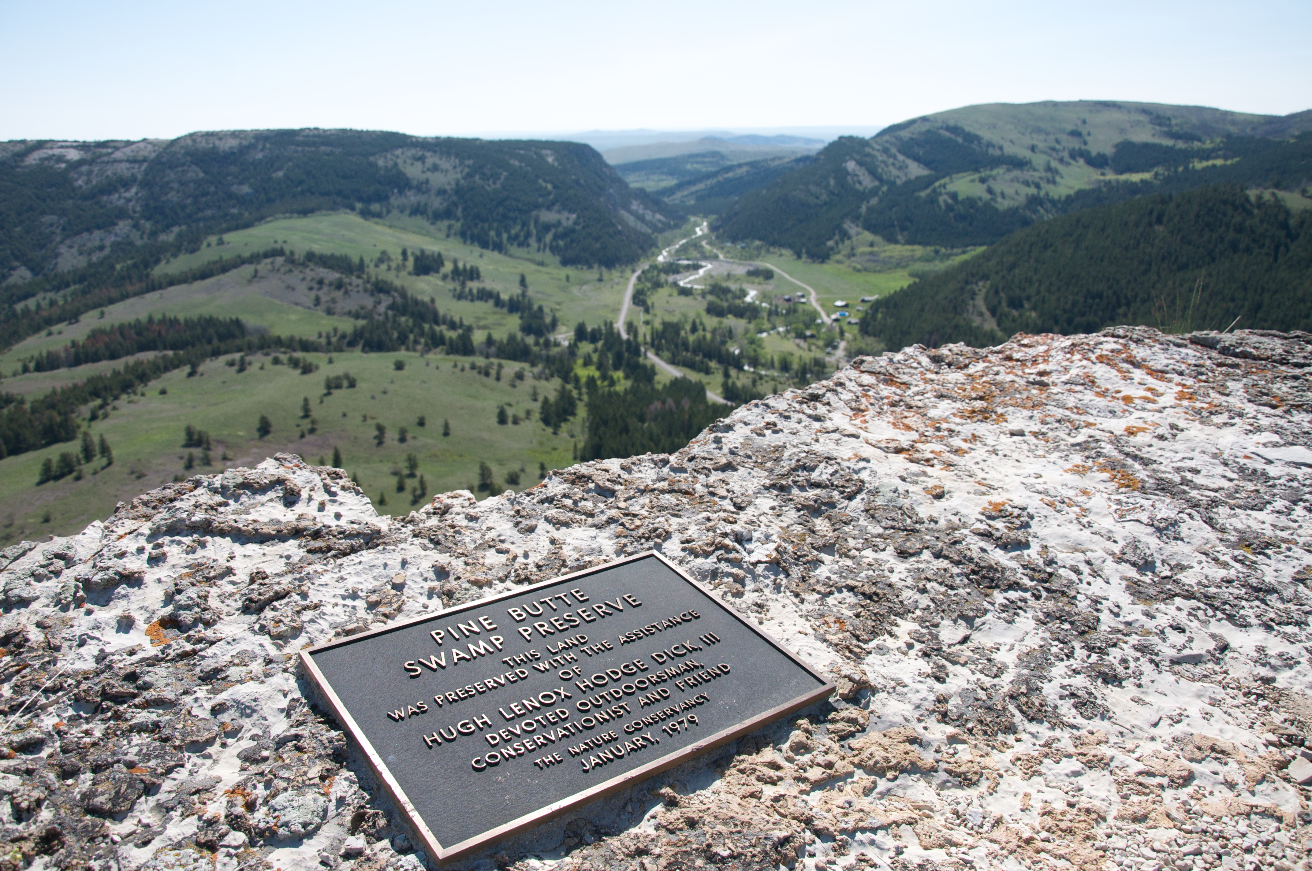
Hugh Lenox Hodge Dick III 2
Topographic Map of Rocky Mountain, Montana, USA
Find elevation by address:

Places near Rocky Mountain, Montana, USA:
Grass Hill
Arsenic Mountain
Sheep Reef
Castle Reef
Gibson Reservoir
Allan Mountain
Sawtooth Ridge
Sawtooth Ridge South
Three Sisters North
Redhead Peak
Renshaw Mountain
Lime Ridge
Fairview Mountain
Bungalow Mountain
Larch Hill
Cliff Mountain
Mccarty Hill
Salt Mountain
Red Butte
Wood Creek Hogback
Recent Searches:
- Elevation of Corso Fratelli Cairoli, 35, Macerata MC, Italy
- Elevation of Tallevast Rd, Sarasota, FL, USA
- Elevation of 4th St E, Sonoma, CA, USA
- Elevation of Black Hollow Rd, Pennsdale, PA, USA
- Elevation of Oakland Ave, Williamsport, PA, USA
- Elevation of Pedrógão Grande, Portugal
- Elevation of Klee Dr, Martinsburg, WV, USA
- Elevation of Via Roma, Pieranica CR, Italy
- Elevation of Tavkvetili Mountain, Georgia
- Elevation of Hartfords Bluff Cir, Mt Pleasant, SC, USA