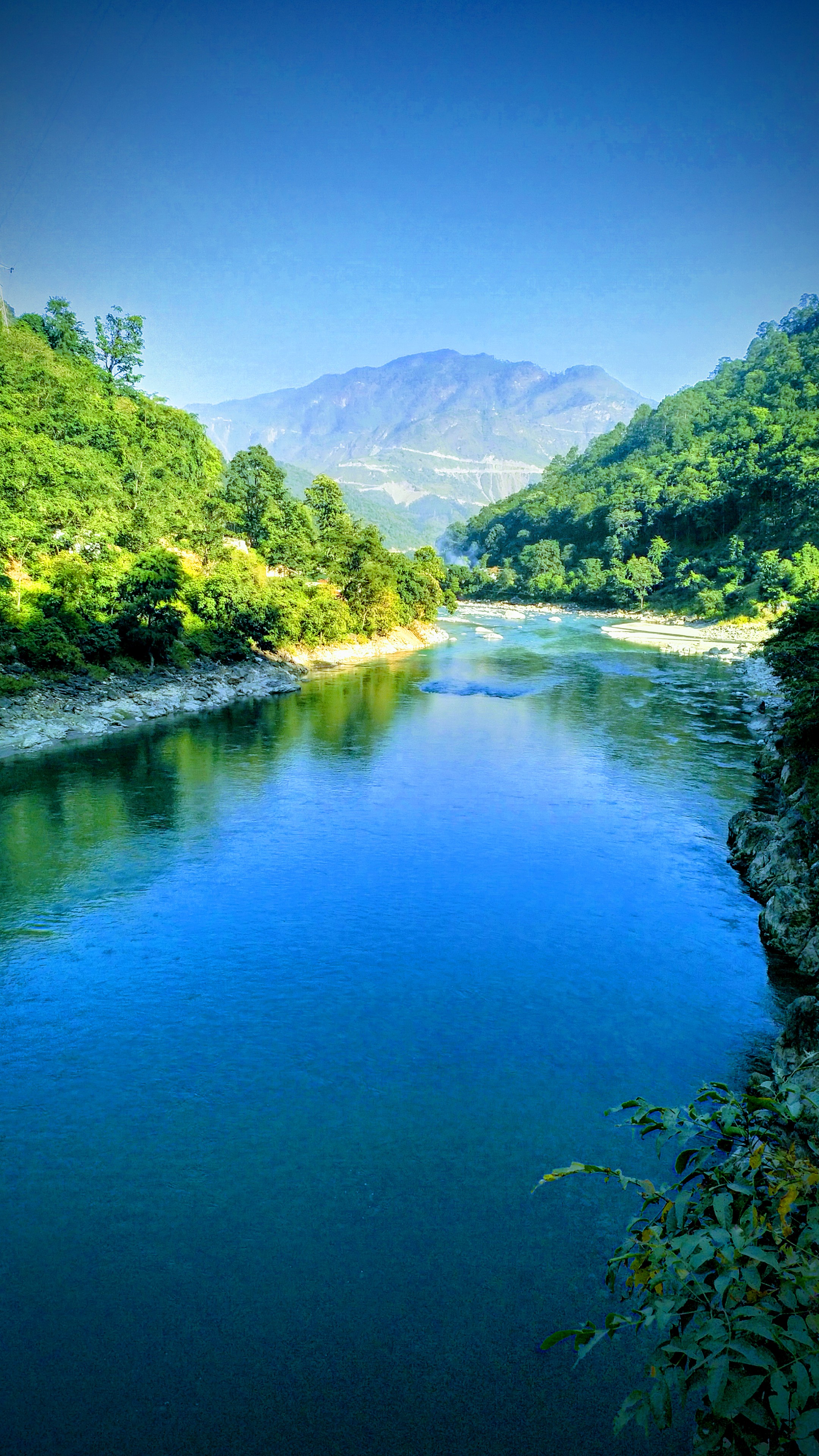
Elevation of Sarayu River, Uttarakhand
Location: India > Uttarakhand > Almora > Chitaula >
Longitude: 79.9961007
Latitude: 29.577684
Elevation: 591m / 1939feet
Barometric Pressure: 94KPa
Elevation Map:
Satellite Map:
Related Photos:

Sunset at Danya
IMG_20181019_150626~2

IMG_20181019_155720~2

Sunrise @ jageshwar dham

जागेश्वर मंदिर (Jageshwar Temple)

That oldie

That oldie

Dandeshwar Shiv Temple
Topographic Map of Sarayu River, Uttarakhand
Find elevation by address:

Places near Sarayu River, Uttarakhand:
Chitaula
Patal Bhuvaneshwar
Jageshwar Dham
Berinag
Gangora
Chaukori
Mary Budden Estate
Binsar
Satri
Regariya
Jalna
Basholi
Patiya
Keval Krishna Ashram
Dotiyal Gaon
Kasar Devi Temple
Wildrift Adventures - Camp Shaama
Namtichetabagar
Baret
Mat
Recent Searches:
- Elevation of Teiskontie 8, Tampere, Finland
- Elevation of Pacific View Dr, Malibu, CA, USA
- Elevation of Thorpe Cir, Thousand Oaks, CA, USA
- Elevation of Eldorado do Sul - RS, Brazil
- Elevation of Eldorado do Sul - Parque Eldorado, Eldorado do Sul - RS, -, Brazil
- Elevation of 35 Governors Ln, Hilton Head Island, SC, USA
- Elevation of Orangevale, CA, USA
- Elevation of Doe Cir, Clinton, OH, USA
- Elevation of Narhe, Pune, Maharashtra, India
- Elevation of Martins Mill Ct, Eagle Rock, NC, USA