Elevation of Patal Bhuvaneshwar, Uttarakhand, India
Location: India > Uttarakhand > Pithoragarh >
Longitude: 80.0919032
Latitude: 29.688153
Elevation: 1657m / 5436feet
Barometric Pressure: 83KPa
Elevation Map:
Satellite Map:
Related Photos:

PANO_20180620_103358b

PANO_20180620_115651b
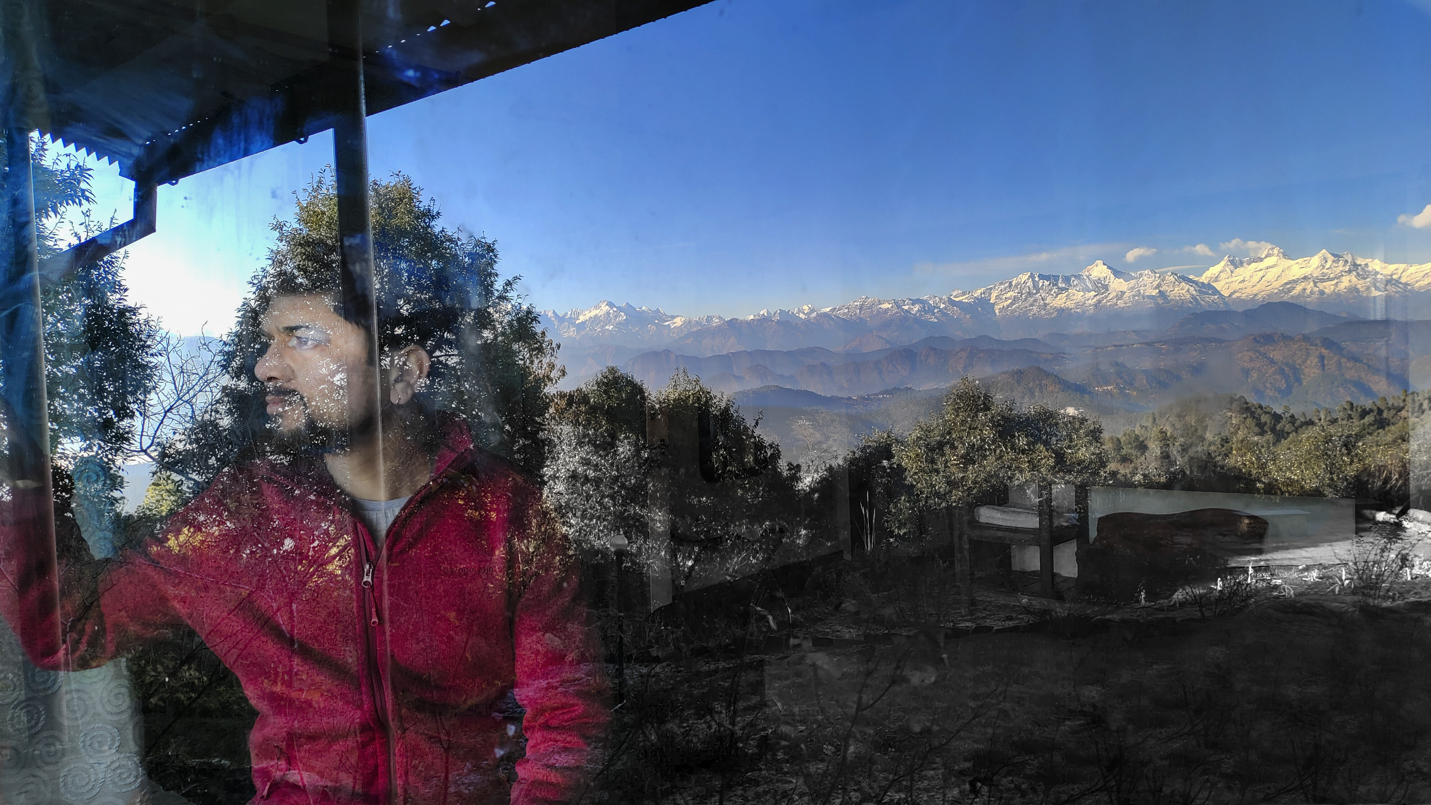
Mysty Mountain

IMG_20181019_155720~2
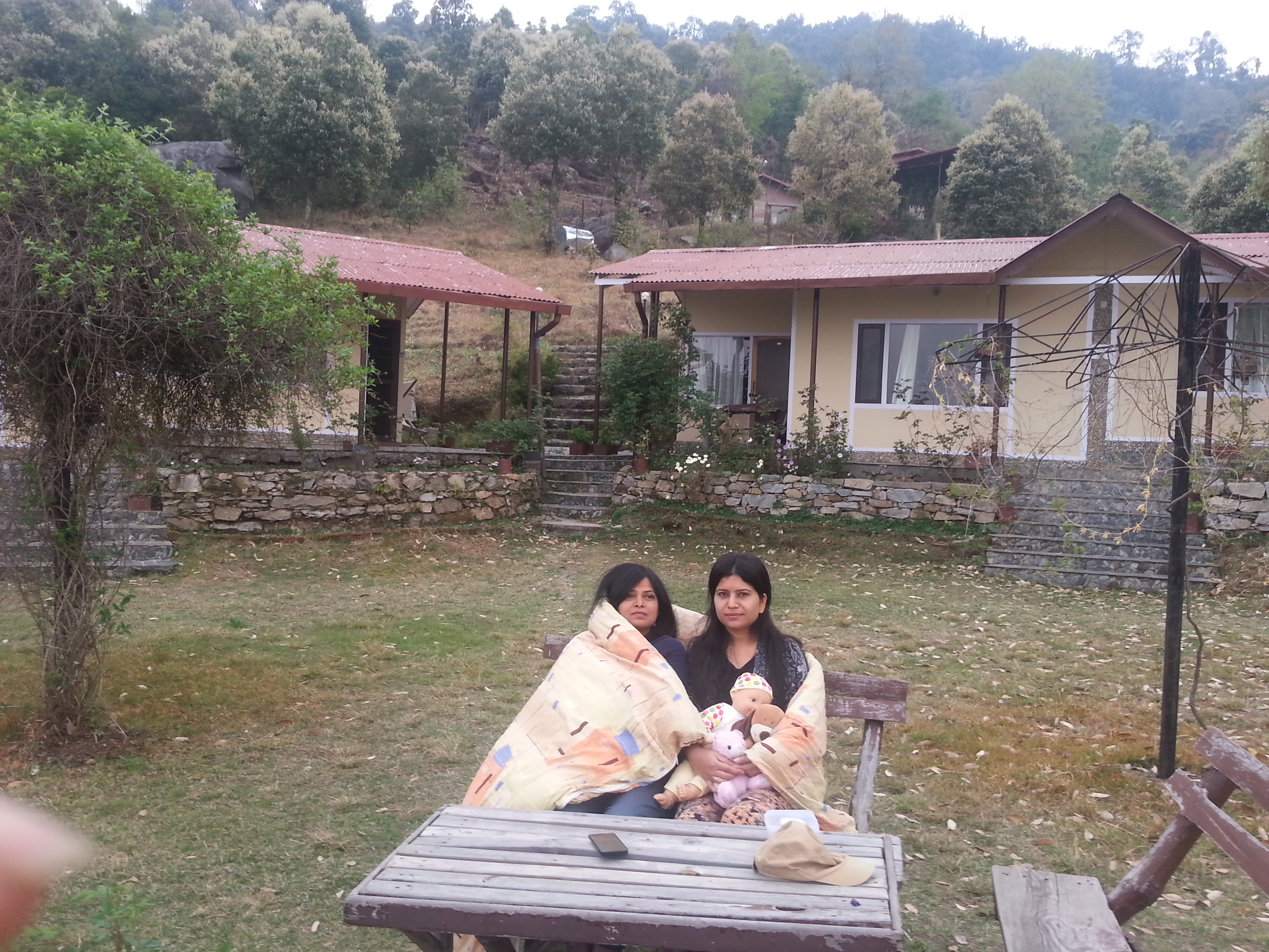
20160325_175616_Berinag - Boraagar Rd

anil kapri
Topographic Map of Patal Bhuvaneshwar, Uttarakhand, India
Find elevation by address:

Places near Patal Bhuvaneshwar, Uttarakhand, India:
Berinag
Gangora
Sarayu River
Chitaula
Chaukori
Jageshwar Dham
Tejam
Nakuri
Liti
Sama
Mary Budden Estate
Satri
Binsar
Regariya
Namtichetabagar
Wildrift Adventures - Camp Shaama
Baret
Bageshwar
Bageshwar
Basholi
Recent Searches:
- Elevation of 4 Vale Rd, Sheffield S3 9QX, UK
- Elevation of Keene Point Drive, Keene Point Dr, Grant, AL, USA
- Elevation of State St, Zanesville, OH, USA
- Elevation of Austin Stone Dr, Haslet, TX, USA
- Elevation of Bydgoszcz, Poland
- Elevation of Bydgoszcz, Poland
- Elevation of Calais Dr, Del Mar, CA, USA
- Elevation of Placer Mine Ln, West Jordan, UT, USA
- Elevation of E 63rd St, New York, NY, USA
- Elevation of Elk City, OK, USA