Elevation of Namtichetabagar, Uttarakhand, India
Location: India > Uttarakhand > Bageshwar >
Longitude: 79.777344
Latitude: 29.8407999
Elevation: 882m / 2894feet
Barometric Pressure: 91KPa
Elevation Map:
Satellite Map:
Related Photos:
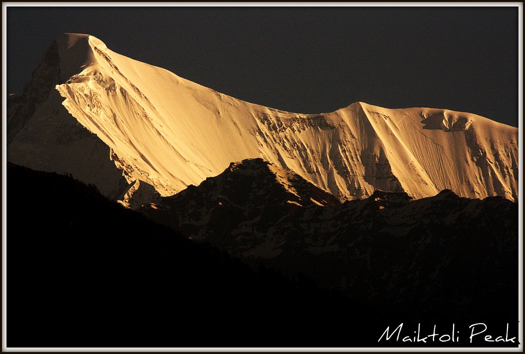
Maiktoli Peak, early morning view
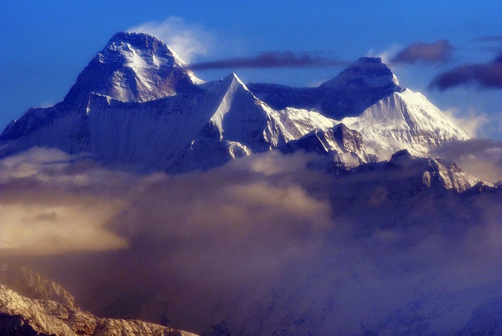
The crown of glory
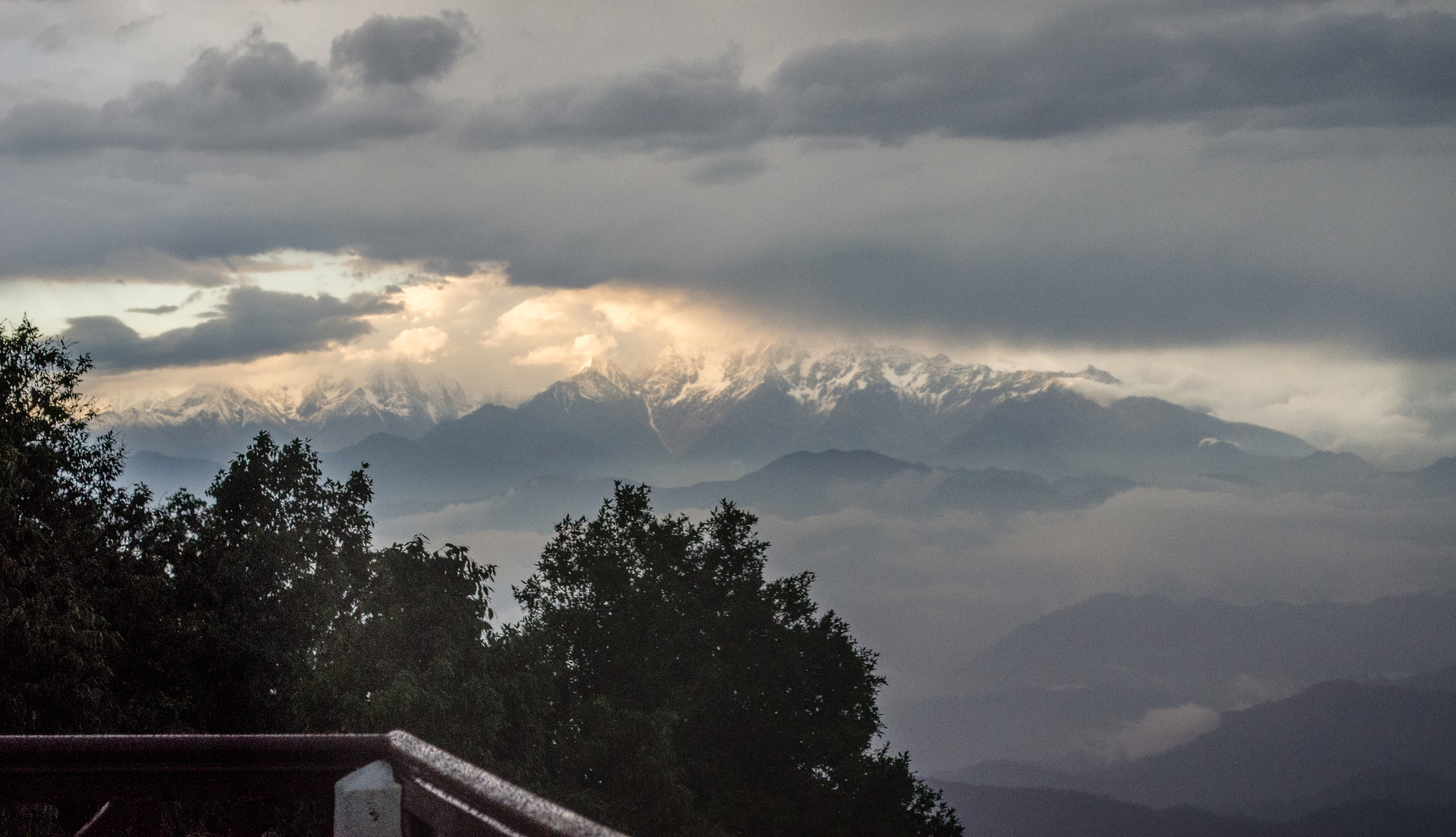
The view at binser
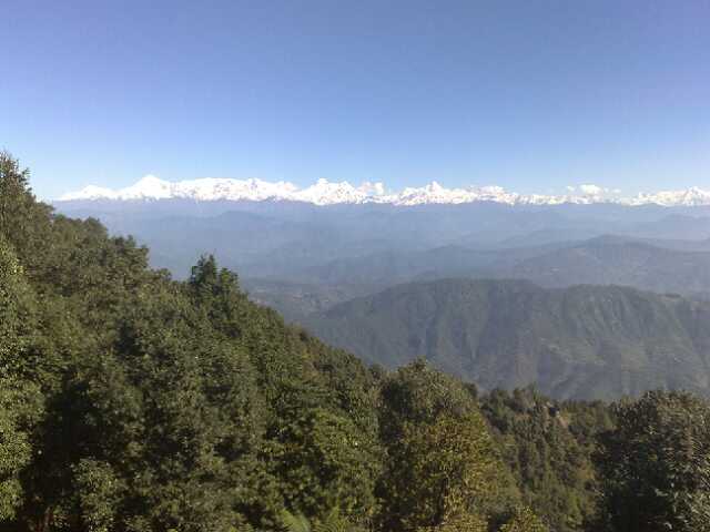
Nanda Devi in the Morning Light
One Slip!
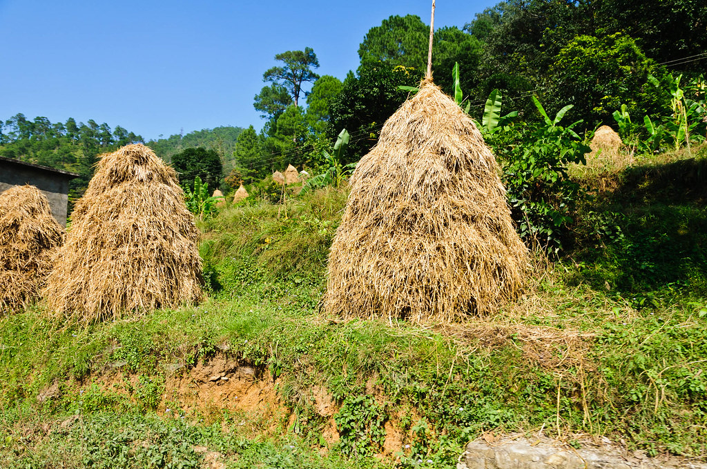
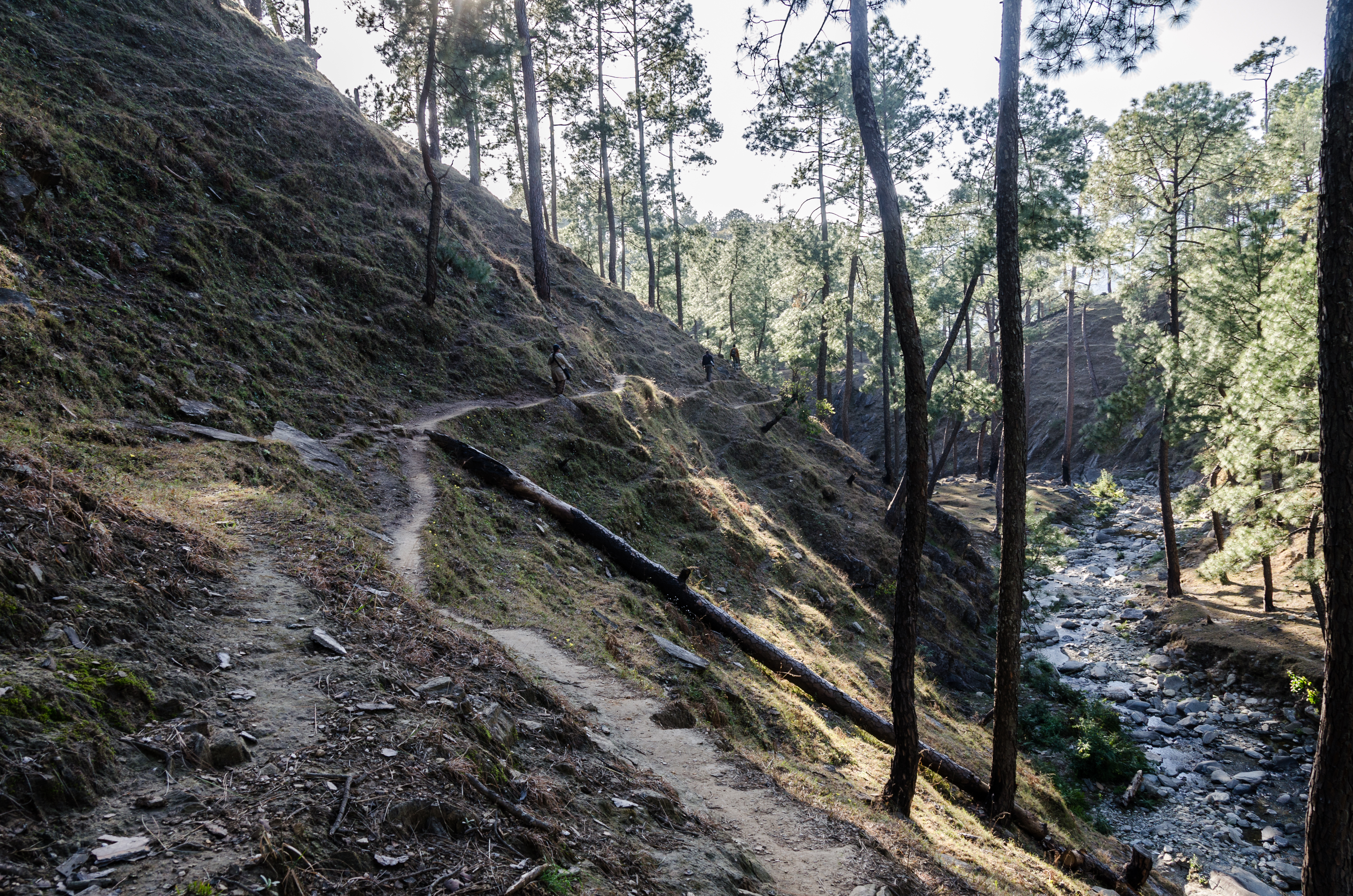
IND11-1036-20111003.jpg
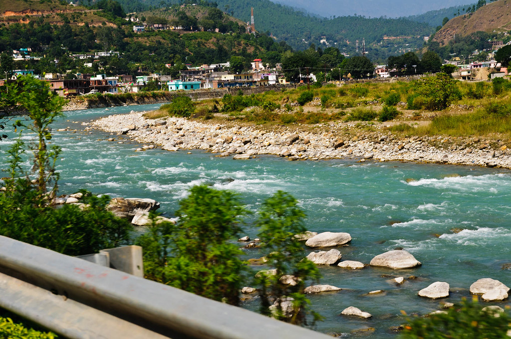
IND11-0973-20111003.jpg

IND11-0954-20111003.jpg
Topographic Map of Namtichetabagar, Uttarakhand, India
Find elevation by address:

Places near Namtichetabagar, Uttarakhand, India:
Wildrift Adventures - Camp Shaama
Bageshwar
Baret
Satri
Mary Budden Estate
Keval Krishna Ashram
Dotiyal Gaon
Binsar
Regariya
Basholi
Kausani
Baijnath
Anashakti Ashram
Krishna Mountview Mountain Resort
Patiya
Someshwar
Bageshwar
Jageshwar Dham
Mat
Kasar Devi Temple
Recent Searches:
- Elevation of Doe Cir, Clinton, OH, USA
- Elevation of Narhe, Pune, Maharashtra, India
- Elevation of Martins Mill Ct, Eagle Rock, NC, USA
- Elevation of Kippen, Stirling FK8, UK
- Elevation of Sieveringer Straße, Sieveringer Str., Wien, Austria
- Elevation of Bratskaya Ulitsa, 24, Kurgan, Kurganskaya oblast', Russia
- Elevation of Paradisvegen, Biri, Norway
- Elevation of Crystal Cir, Birmingham, AL, USA
- Elevation of N Railroad Ave, West Palm Beach, FL, USA
- Elevation of 55 Cassick Valley Rd, Wellfleet, MA, USA