Elevation of Sappho, WA, USA
Location: United States > Washington > Clallam County > Port Angeles >
Longitude: -124.27937
Latitude: 48.0700786
Elevation: 144m / 472feet
Barometric Pressure: 100KPa
Elevation Map:
Satellite Map:
Related Photos:
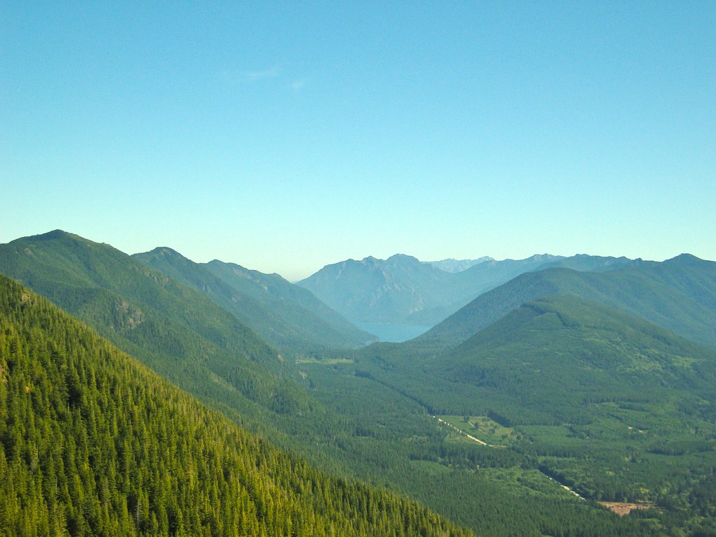
Glimpses of Forks, WA
Wash line
Dead bank
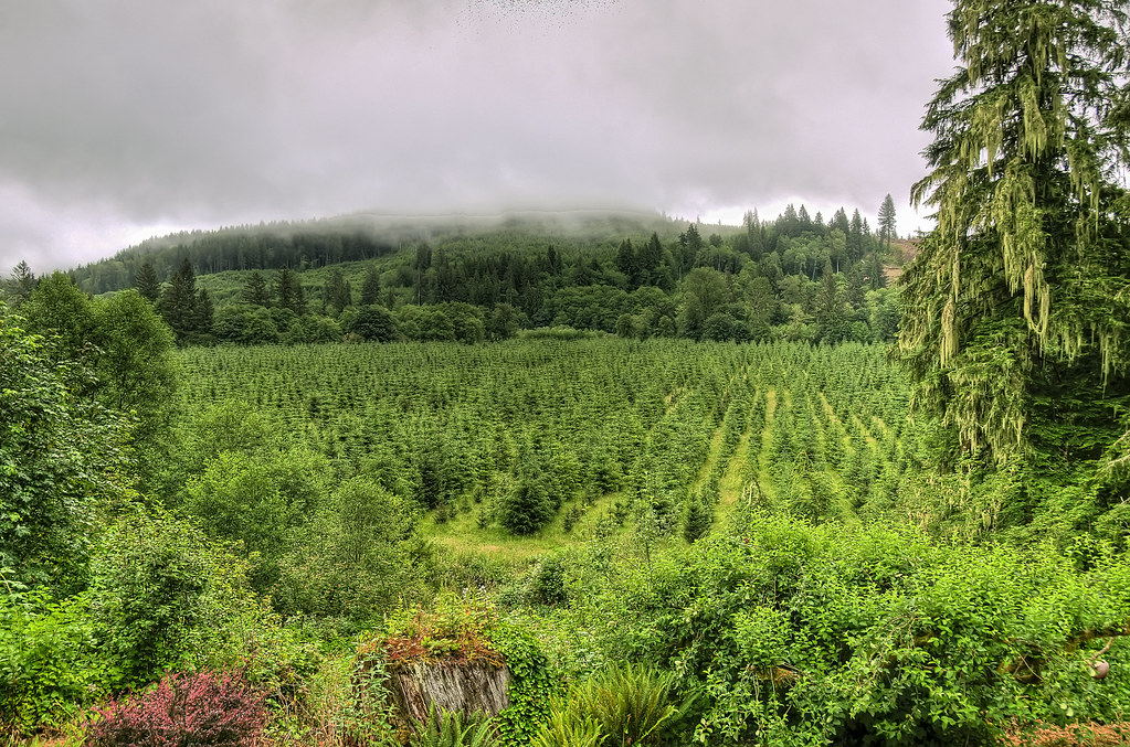
Misty View

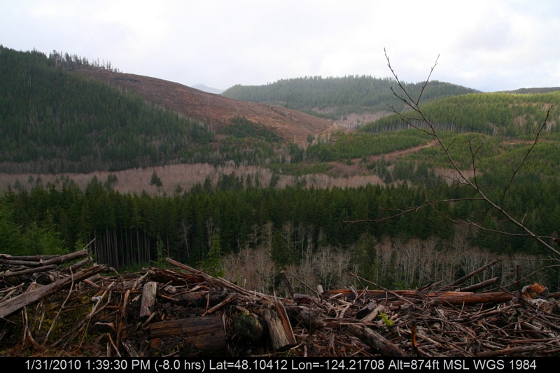
Lunchtime view.
IMG_9318.jpg
IMG_9250.jpg
IMG_9252.jpg
IMG_9253.jpg

IMG_9268.jpg
IMG_9259.jpg
IMG_9260.jpg
IMG_9257.jpg
IMG_9263.jpg
IMG_9266.jpg
IMG_9255.jpg
IMG_9262.jpg
IMG_9248.jpg
IMG_9254.jpg
IMG_9265.jpg
IMG_9261.jpg
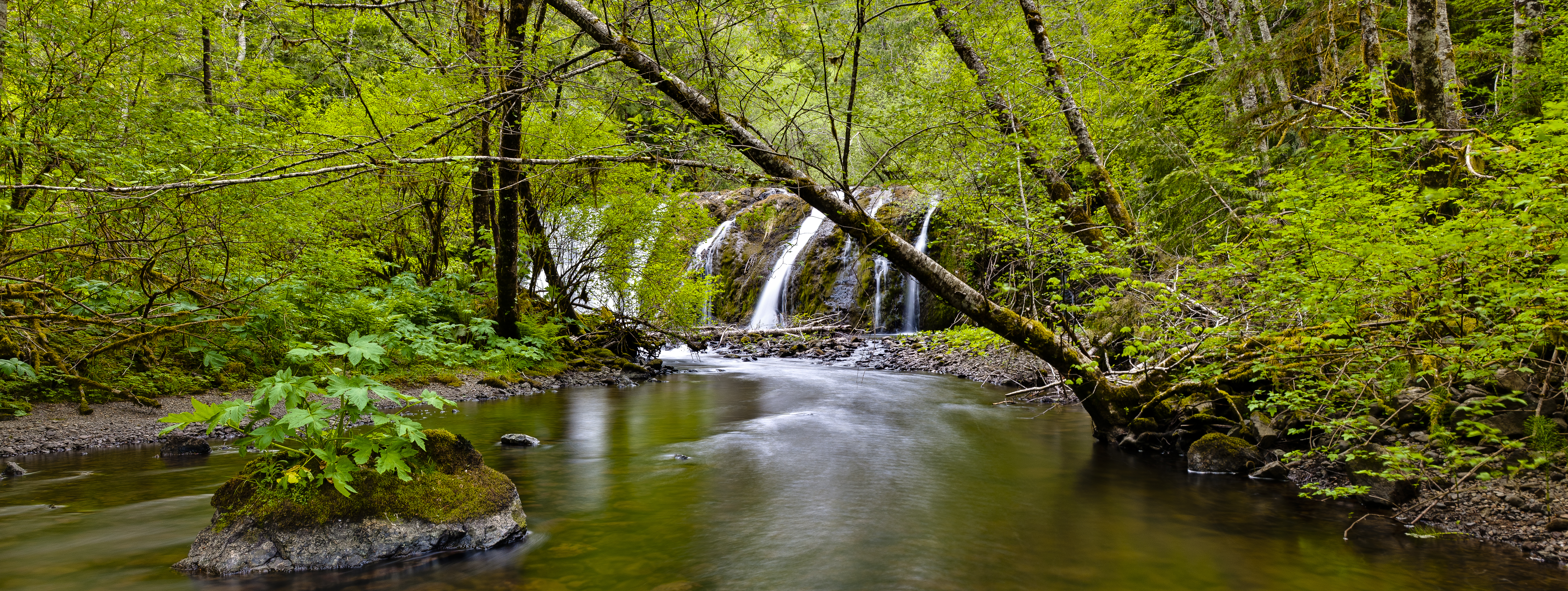
Running through the Forest

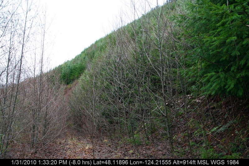
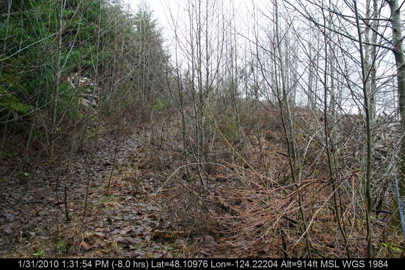
Slow - clearcut
Big forest, little @christinabernales
Slow - Hwy 101 old growth
hoh river

Trees Overtaken by Fog
Iphone pics 907
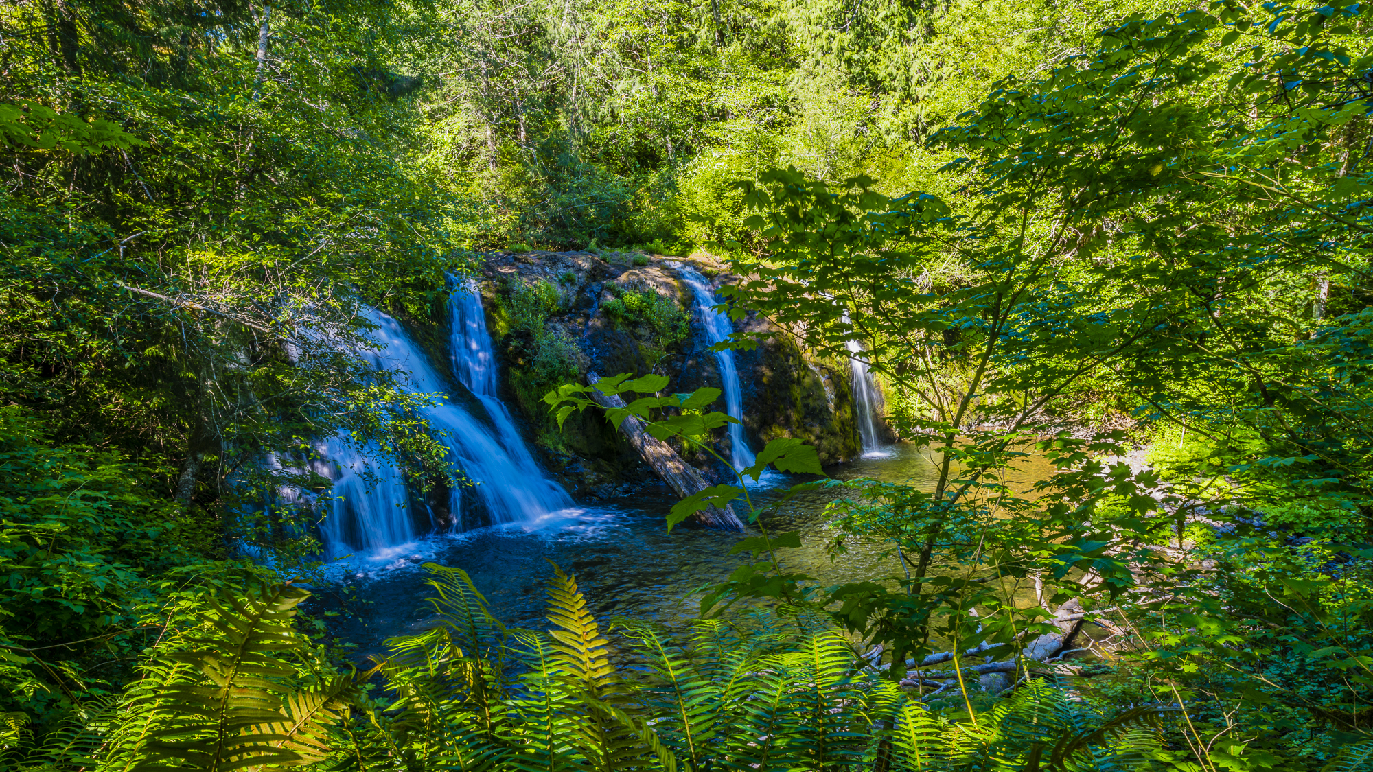
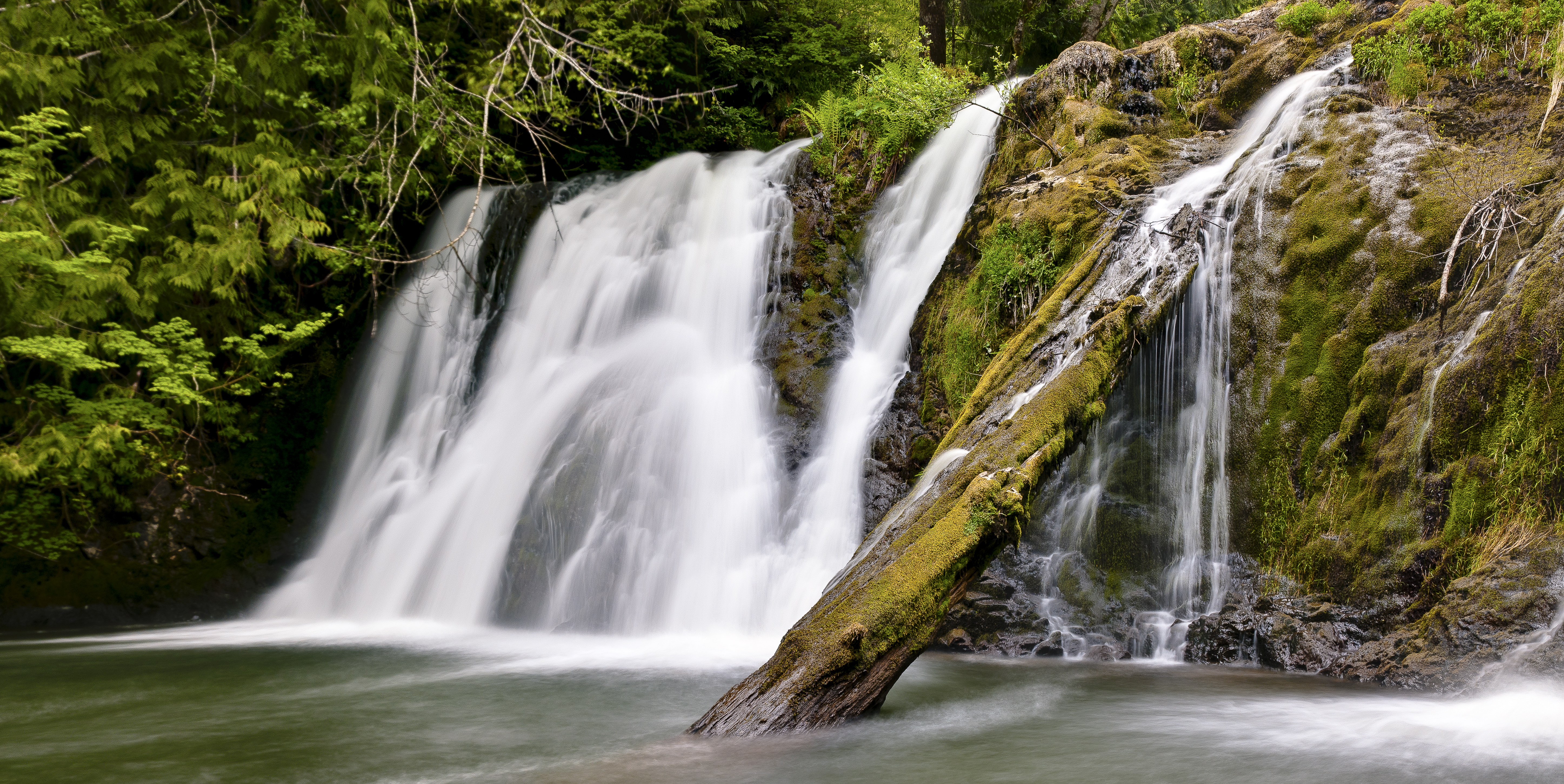
BEAVER FALLS B&W-2
[Group 6]-Olympics122005_11404_Olympics122005_11423-20 images
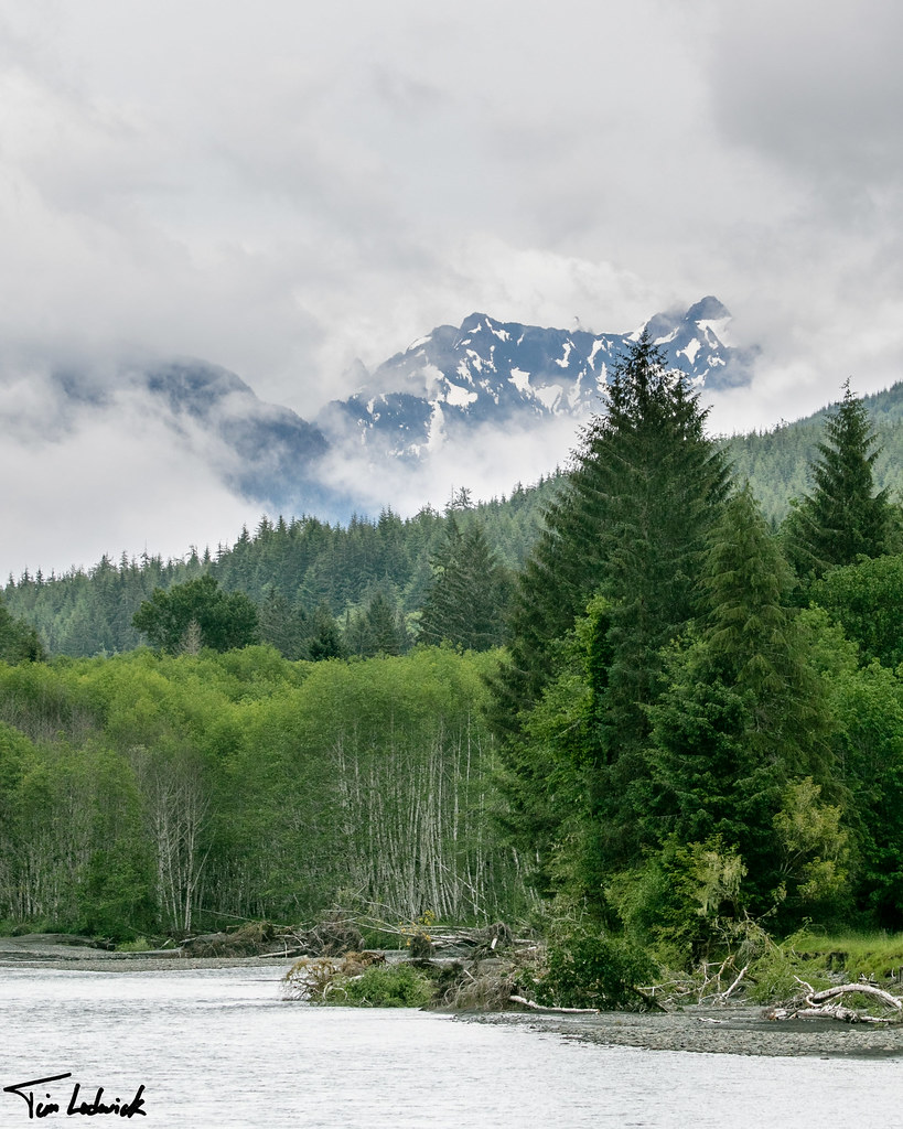
Soleduck River

Old moss-covered bridge over Beaver Creek, just above it's confluence with the Sol Duc River; on the Olympic Peninsula near Sappho, Washington.
MAPLE OVER THE SOLDUC
north point lookout - 04
20160602_Hoh4.jpg
NT3.0034-FD1605619_38744
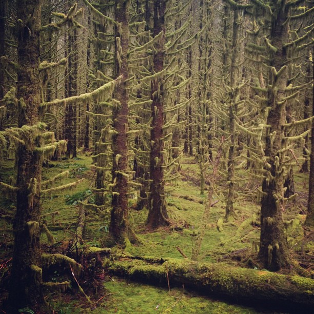
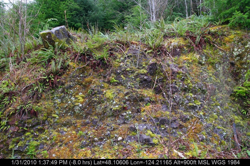
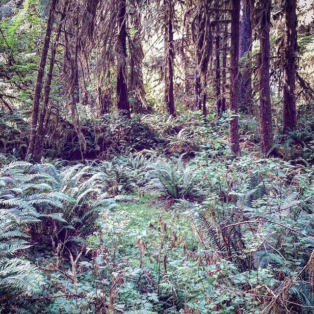
Mossy floor

Forest at Camp Creek, Olympic National Forest, Washington, 2016
[Group 11]-Olympics122005_11504enf_Olympics122005_11509enf-2 images

[Group 4]-Olympics122005_11364enf_Olympics122005_11379enf-4 images
1066960294192523172_5043477620160426-29675-noolu0
[Group 1]-Olympics122005_11709enf_Olympics122005_11714enf-2 images
Topographic Map of Sappho, WA, USA
Find elevation by address:

Places near Sappho, WA, USA:
1462 Burnt Mountain Rd
Olympic National Forest
230 Salmon Dr
209321 Us-101
323 Gaydeski Rd
9999 Burnt Mountain Rd
Sitkum-solduc Road
Whitcomb Diimmel Road
1120 Big Pine Way Lot A
Forks
751 Robin Hood Loop
230 King Richards Way
1863 Eagle Crest Way
830 Bogachiel Way
1161 Bogachiel Way
Clallam Bay
571 Frontier St
Sekiu
3384 Undie Rd
13293 Wa-112
Recent Searches:
- Elevation of Spaceport America, Co Rd A, Truth or Consequences, NM, USA
- Elevation of Warwick, RI, USA
- Elevation of Fern Rd, Whitmore, CA, USA
- Elevation of 62 Abbey St, Marshfield, MA, USA
- Elevation of Fernwood, Bradenton, FL, USA
- Elevation of Felindre, Swansea SA5 7LU, UK
- Elevation of Leyte Industrial Development Estate, Isabel, Leyte, Philippines
- Elevation of W Granada St, Tampa, FL, USA
- Elevation of Pykes Down, Ivybridge PL21 0BY, UK
- Elevation of Jalan Senandin, Lutong, Miri, Sarawak, Malaysia