Elevation of Big Pine Way Lot A, Forks, WA, USA
Location: United States > Washington > Forks >
Longitude: -124.38673
Latitude: 47.9628157
Elevation: 90m / 295feet
Barometric Pressure: 100KPa
Elevation Map:
Satellite Map:
Related Photos:
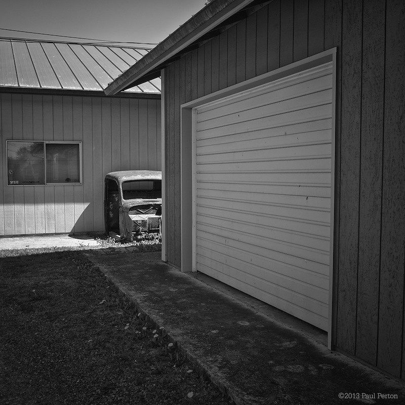
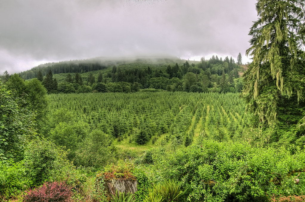
Glimpses of Forks, WA
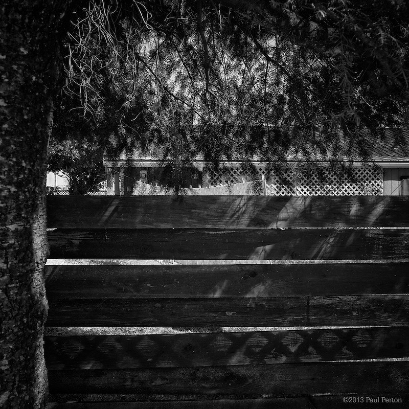
Wash line
Dead bank
Misty View
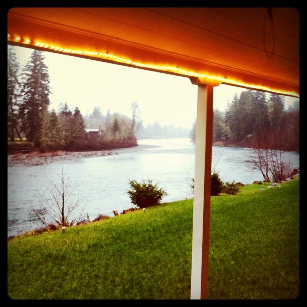
No vampires: The view from my front door

Forks, Washington
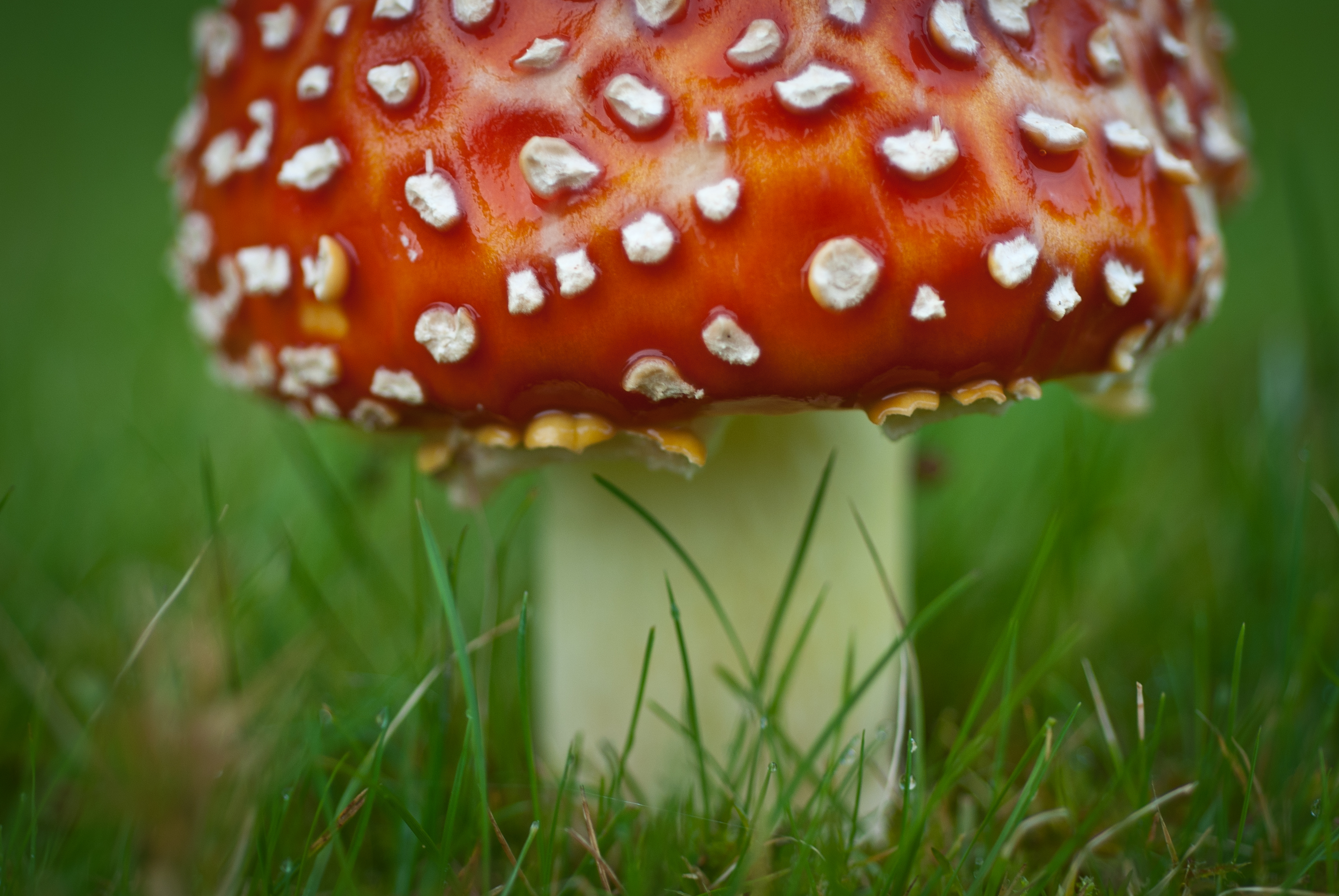
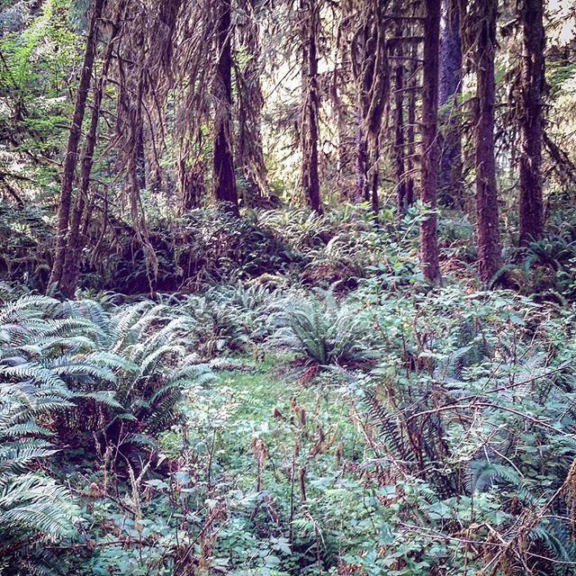
There should be fairies under there
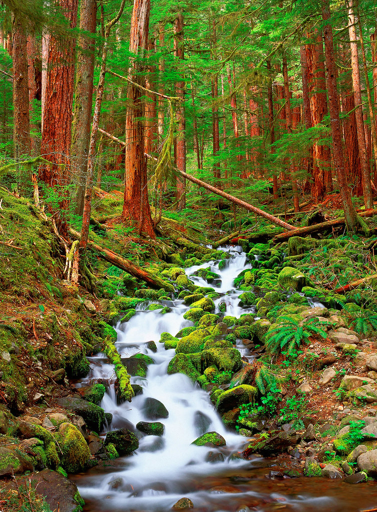
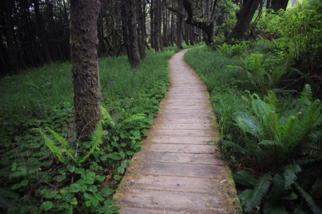
Running through the Forest
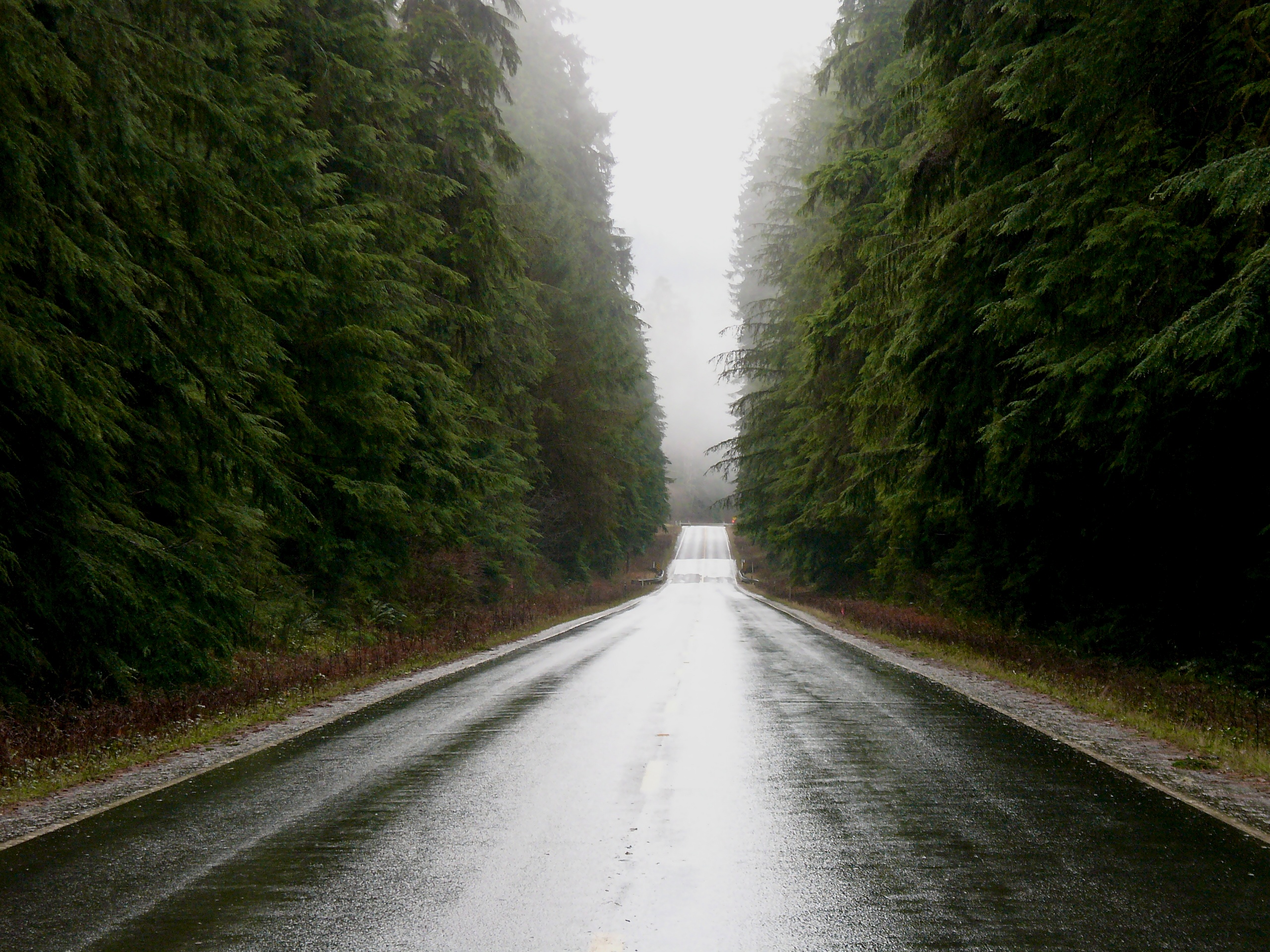
Slow - Hwy 101 old growth

Old moss-covered bridge over Beaver Creek, just above it's confluence with the Sol Duc River; on the Olympic Peninsula near Sappho, Washington.

Slow - clearcut

iPhone panorama of Beaver Creek's confluence with the Sol Duc River, including my Nikon which was taking a long exposure at the time
Big forest, little @christinabernales

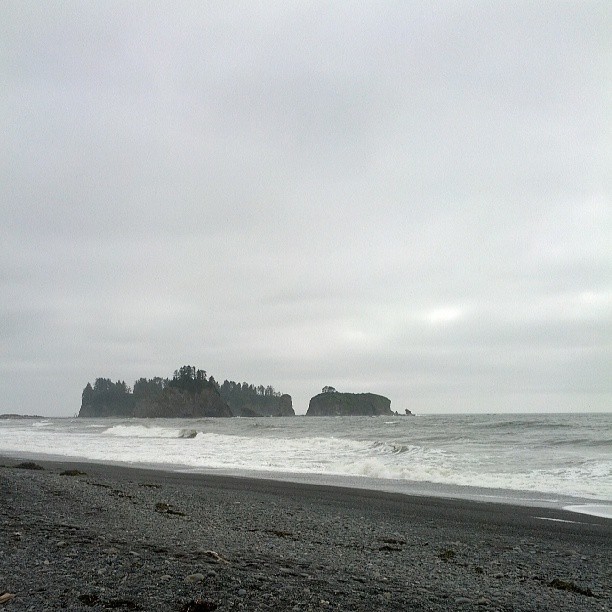
Time stands still while camping on the beach. #beachlife #destinationwashington #destinationpnw #discoveryournorthwest #beachcamping #backpackinglife #secondbeach #pacificocean #olympicnationalpark #hiwalkerphoto
hoh river
Iphone pics 907
2013-09-05 19.49.08
Forks 101
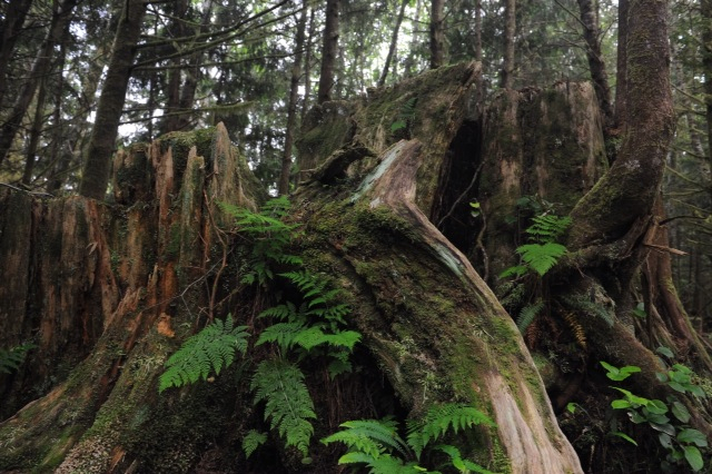
Stump growth. La Push beach 3 trail. Feb 2012

Sunset on the OP
Mossy floor
Jane's Creek dumping into the Pacific
1066960294192523172_5043477620160426-29675-noolu0
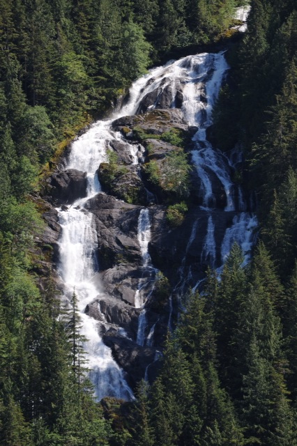
Waterfall diversions
Walking in a rain forest
Dickey River property 1
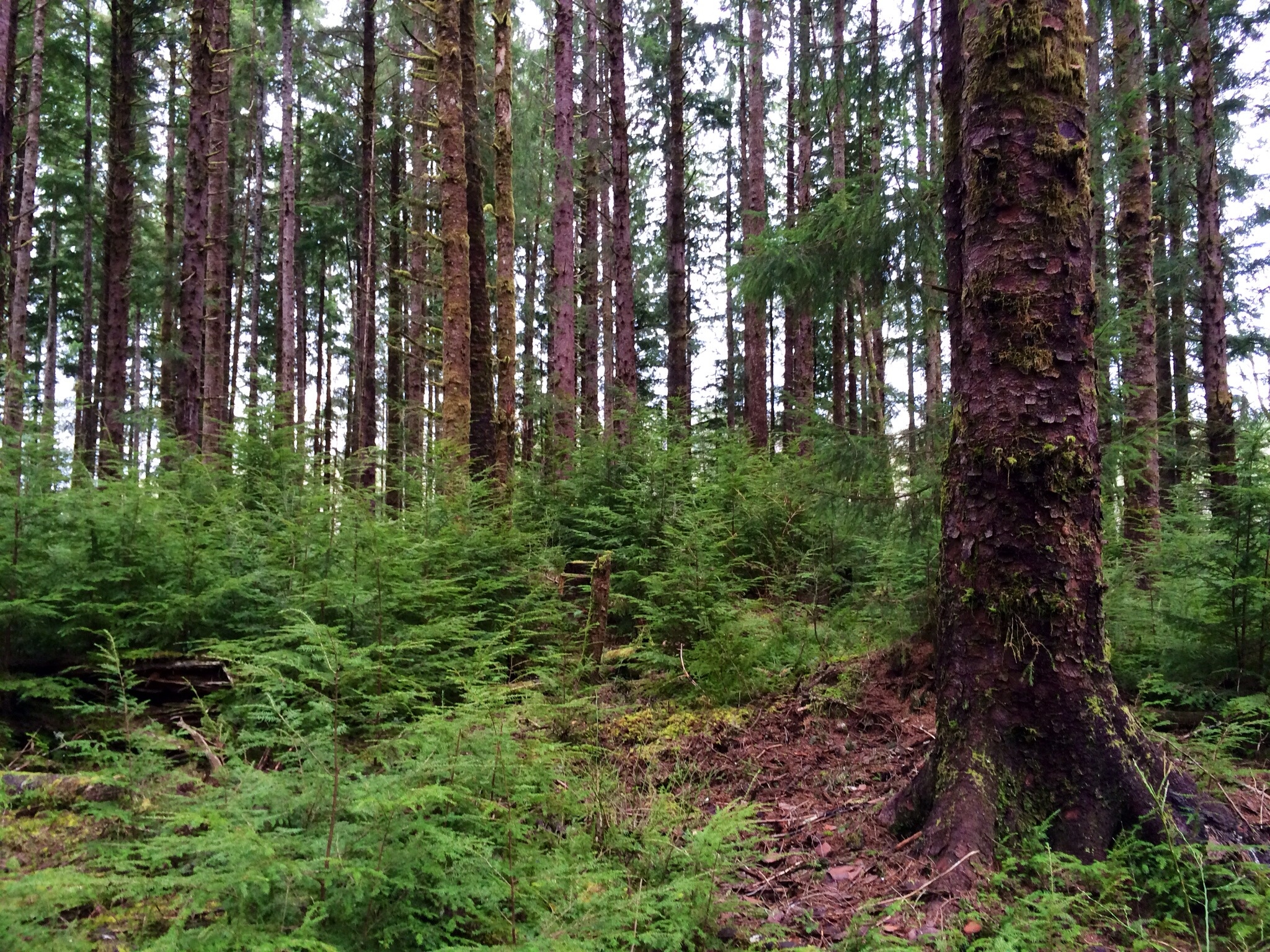
Old growth
Hello Specific Ocean!
Topographic Map of Big Pine Way Lot A, Forks, WA, USA
Find elevation by address:

Places near Big Pine Way Lot A, Forks, WA, USA:
Forks
751 Robin Hood Loop
230 King Richards Way
Whitcomb Diimmel Road
Sitkum-solduc Road
830 Bogachiel Way
1161 Bogachiel Way
323 Gaydeski Rd
230 Salmon Dr
3384 Undie Rd
Sappho
1462 Burnt Mountain Rd
250 Rainbow Ave
153 Rainbow Ave
Olympic National Forest
209321 Us-101
9999 Burnt Mountain Rd
Ozette Lake
1863 Eagle Crest Way
13293 Wa-112
Recent Searches:
- Elevation of Congressional Dr, Stevensville, MD, USA
- Elevation of Bellview Rd, McLean, VA, USA
- Elevation of Stage Island Rd, Chatham, MA, USA
- Elevation of Shibuya Scramble Crossing, 21 Udagawacho, Shibuya City, Tokyo -, Japan
- Elevation of Jadagoniai, Kaunas District Municipality, Lithuania
- Elevation of Pagonija rock, Kranto 7-oji g. 8"N, Kaunas, Lithuania
- Elevation of Co Rd 87, Jamestown, CO, USA
- Elevation of Tenjo, Cundinamarca, Colombia
- Elevation of Côte-des-Neiges, Montreal, QC H4A 3J6, Canada
- Elevation of Bobcat Dr, Helena, MT, USA