Elevation of King Richards Way, Forks, WA, USA
Location: United States > Washington > Forks >
Longitude: -124.40139
Latitude: 47.9539198
Elevation: -10000m / -32808feet
Barometric Pressure: 295KPa
Elevation Map:
Satellite Map:
Related Photos:
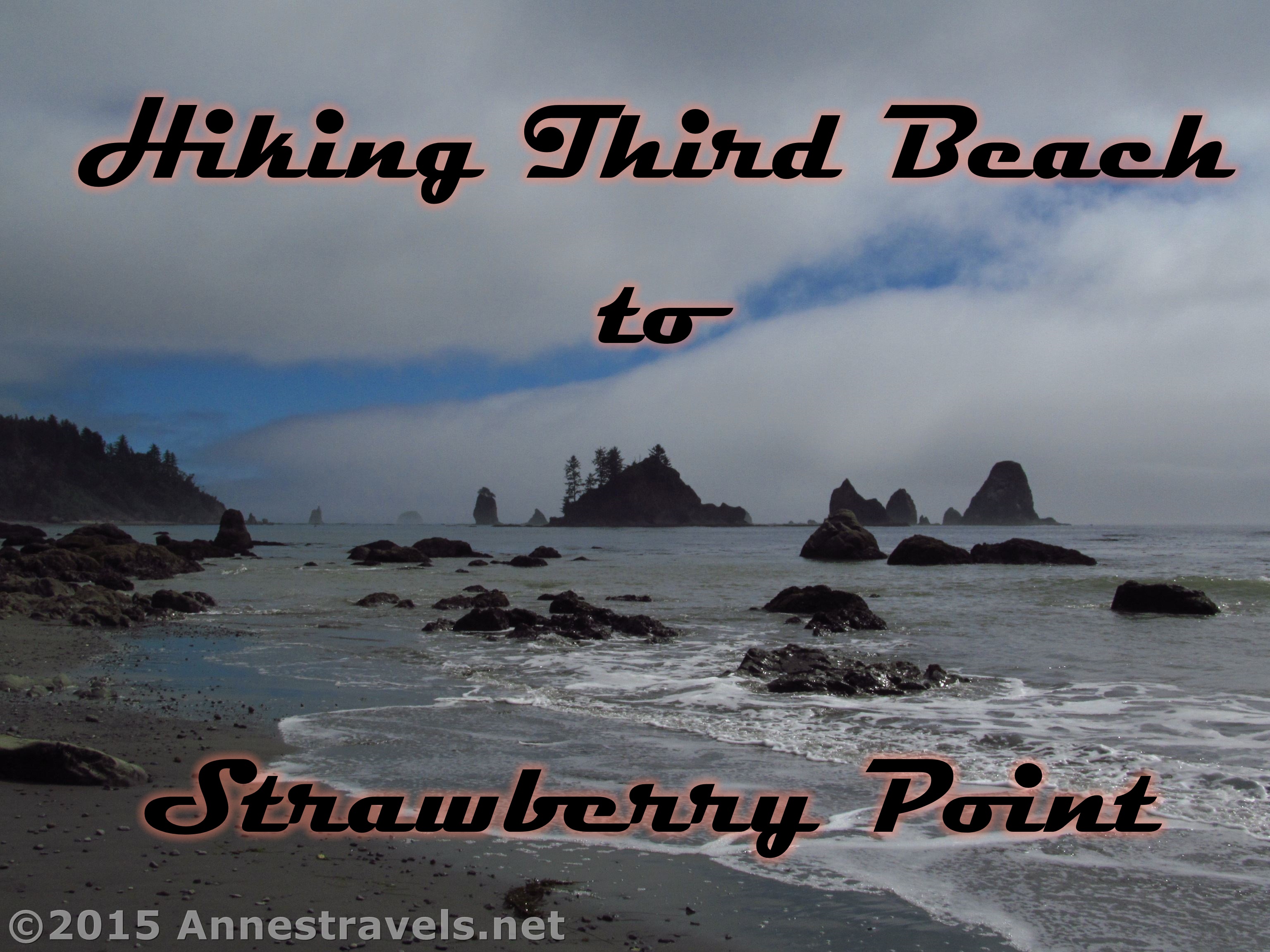
Hiking Third Beach to Strawberry Point

The road less travelled, Olympic National Park
Glimpses of Forks, WA

The dentist's steps

Wash line

Forks, Washington

Dead bank

There should be fairies under there

Nurse log at Mora Campground

Misty View

View From Taylor Point

View From Taylor Point

Lunchtime view.

Taylor Point Shoreline
IMG_9318.jpg

Pacific Ocean

No vampires: The view from my front door

Running through the Forest

Forks Early Morning Color

Washington State Beach with Sea Stacks

Slow - Hwy 101 old growth

Strawberry Bay

Third Beach

Magic of light

2018. Western Washington Swiss needle cast (SNC) aerial survey. Symptomatic plantation - lighter colored young Douglas-fir with a brownish tinge. In this photo the Douglas-fir are mixed with alder (light green trees), which are not a host of SNC.

iPhone panorama of Beaver Creek's confluence with the Sol Duc River, including my Nikon which was taking a long exposure at the time

Old moss-covered bridge over Beaver Creek, just above it's confluence with the Sol Duc River; on the Olympic Peninsula near Sappho, Washington.

Time stands still while camping on the beach. #beachlife #destinationwashington #destinationpnw #discoveryournorthwest #beachcamping #backpackinglife #secondbeach #pacificocean #olympicnationalpark #hiwalkerphoto

Trail of Mosses (Hoh Rain Forest)

Rapids at Sol Duc Valley

A little morning forest fog

Slow - clearcut

Stump growth. La Push beach 3 trail. Feb 2012

snow storm & trees. olympic national park. washington.

Mossy floor

Quillayute River

Spring cleaning the iPhone camera roll. Forks, WA. Feb 2012

_BON2189_web.jpg
Topographic Map of King Richards Way, Forks, WA, USA
Find elevation by address:

Places near King Richards Way, Forks, WA, USA:
751 Robin Hood Loop
830 Bogachiel Way
1161 Bogachiel Way
Forks
1120 Big Pine Way Lot A
Whitcomb Diimmel Road
Sitkum-solduc Road
323 Gaydeski Rd
230 Salmon Dr
3384 Undie Rd
Sappho
250 Rainbow Ave
153 Rainbow Ave
1462 Burnt Mountain Rd
Olympic National Forest
209321 Us-101
Ozette Lake
9999 Burnt Mountain Rd
1863 Eagle Crest Way
13293 Wa-112
Recent Searches:
- Elevation of Elwyn Dr, Roanoke Rapids, NC, USA
- Elevation of Congressional Dr, Stevensville, MD, USA
- Elevation of Bellview Rd, McLean, VA, USA
- Elevation of Stage Island Rd, Chatham, MA, USA
- Elevation of Shibuya Scramble Crossing, 21 Udagawacho, Shibuya City, Tokyo -, Japan
- Elevation of Jadagoniai, Kaunas District Municipality, Lithuania
- Elevation of Pagonija rock, Kranto 7-oji g. 8"N, Kaunas, Lithuania
- Elevation of Co Rd 87, Jamestown, CO, USA
- Elevation of Tenjo, Cundinamarca, Colombia
- Elevation of Côte-des-Neiges, Montreal, QC H4A 3J6, Canada