Elevation of San Vicente Hideaway, 3 km Este de San Vicente, Quesada, Costa Rica San Carlos, Provincia de Alajuela, San Carlos, Costa Rica
Location: Costa Rica > Alajuela > San Carlos >
Longitude: -84.380289
Latitude: 10.2810797
Elevation: 1689m / 5541feet
Barometric Pressure: 83KPa
Elevation Map:
Satellite Map:
Related Photos:

Topiary Arches (2) in Zarcero, Costa Rica (published)

catarata del toro

Zarcero Church

Catuai coffee and valley view at Claudio Salazar farm, Zarcero

Villa Blanca

View in the morning from the cabinas near Helsar del Zarcero, Costa Rica

A view over the edge

One last view of the Chapel

The road at night

On the second platform

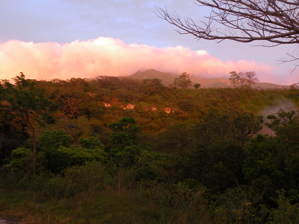
View from our cloud Forrest resort. That's Arenal wayyyy in the back.

View from the chapel

Cloud forest view

Cloud forest view

Cloud forest view

Cloud forest view

Keel-billed Tucan
Clouds lower as the sun sets over Borinquen

No tourists in this view of the falls.

The "Rio Ágrio" waterfall

Tree and Fog

Panorama étang du rio Ágrio

Parque de Zarcero, Costa Rica

Tree in the Mist

_8013158.jpg

Volcán Arenal

IMG-20140321-WA0018

Río Bajos del Toro

Lone House

Tropical Alder Trees

Land of Green

Cerca de San Vicente, cerca de Ciudad Quezada, Alajuela, Costa Rica

What's left - Lo que se queda; Alajuela, Costa Rica

Catarata del Toro

Vaca novilla; Parque Nacional del Agua Juan Castro Blanco; Costa Rica

Little Orange Fruit Full Of Seeds

American Dipper With Nesting Material

Cataratas Bajos del Toro Amarillo (CR)
Topographic Map of San Vicente Hideaway, 3 km Este de San Vicente, Quesada, Costa Rica San Carlos, Provincia de Alajuela, San Carlos, Costa Rica
Find elevation by address:

Places near San Vicente Hideaway, 3 km Este de San Vicente, Quesada, Costa Rica San Carlos, Provincia de Alajuela, San Carlos, Costa Rica:
Porvenir
Puente Río Peje
Alfaro Ruiz
Barrio San Juan
Provincia de Alajuela, San Carlos, Costa Rica
Provincia de Alajuela, San Carlos, Costa Rica
Quesada
Alfaro Ruiz
La Marina
Librería Zarcero
Alajuela
Villa Blanca Cloud Forest Resort And Nature Reserve
Naranjo
Volio
Naranjo De Alajuela
Piedades Norte
Escuela Bajo La Paz
Centro Comunidad Cristiana, Bajo Tejares
Bajo Tejar
El Invu
Recent Searches:
- Elevation of Doe Cir, Clinton, OH, USA
- Elevation of Narhe, Pune, Maharashtra, India
- Elevation of Martins Mill Ct, Eagle Rock, NC, USA
- Elevation of Kippen, Stirling FK8, UK
- Elevation of Sieveringer Straße, Sieveringer Str., Wien, Austria
- Elevation of Bratskaya Ulitsa, 24, Kurgan, Kurganskaya oblast', Russia
- Elevation of Paradisvegen, Biri, Norway
- Elevation of Crystal Cir, Birmingham, AL, USA
- Elevation of N Railroad Ave, West Palm Beach, FL, USA
- Elevation of 55 Cassick Valley Rd, Wellfleet, MA, USA