Elevation map of San Carlos, Costa Rica
Location: Costa Rica > Alajuela >
Longitude: -84.354204
Latitude: 10.6590277
Elevation: 66m / 217feet
Barometric Pressure: 101KPa
Elevation Map:
Satellite Map:
Related Photos:
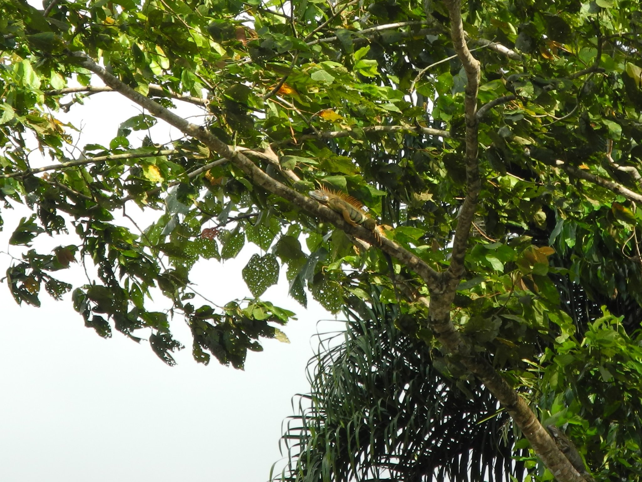
Grüner Leguan
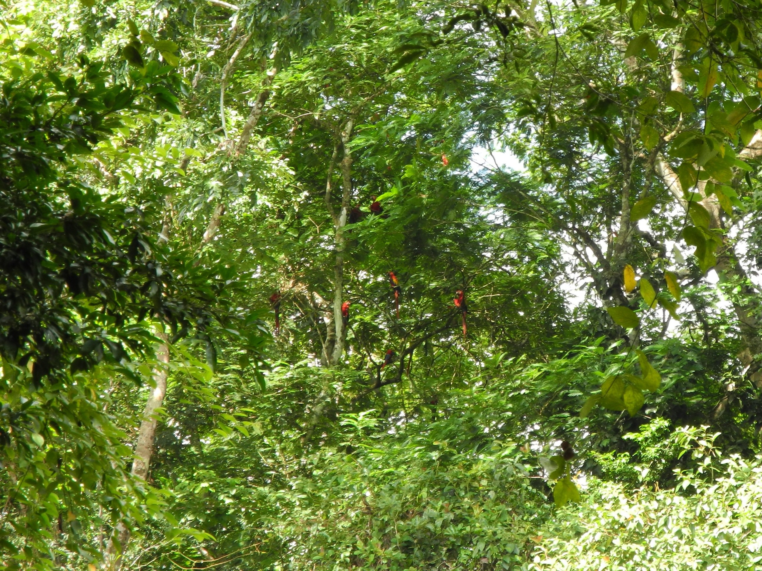
Rote Aras

Nasenfledermaus-Kolonie (en: Long-nosed Bat, es: Murciélago saco narizón, la: Rhynchonycteris naso)
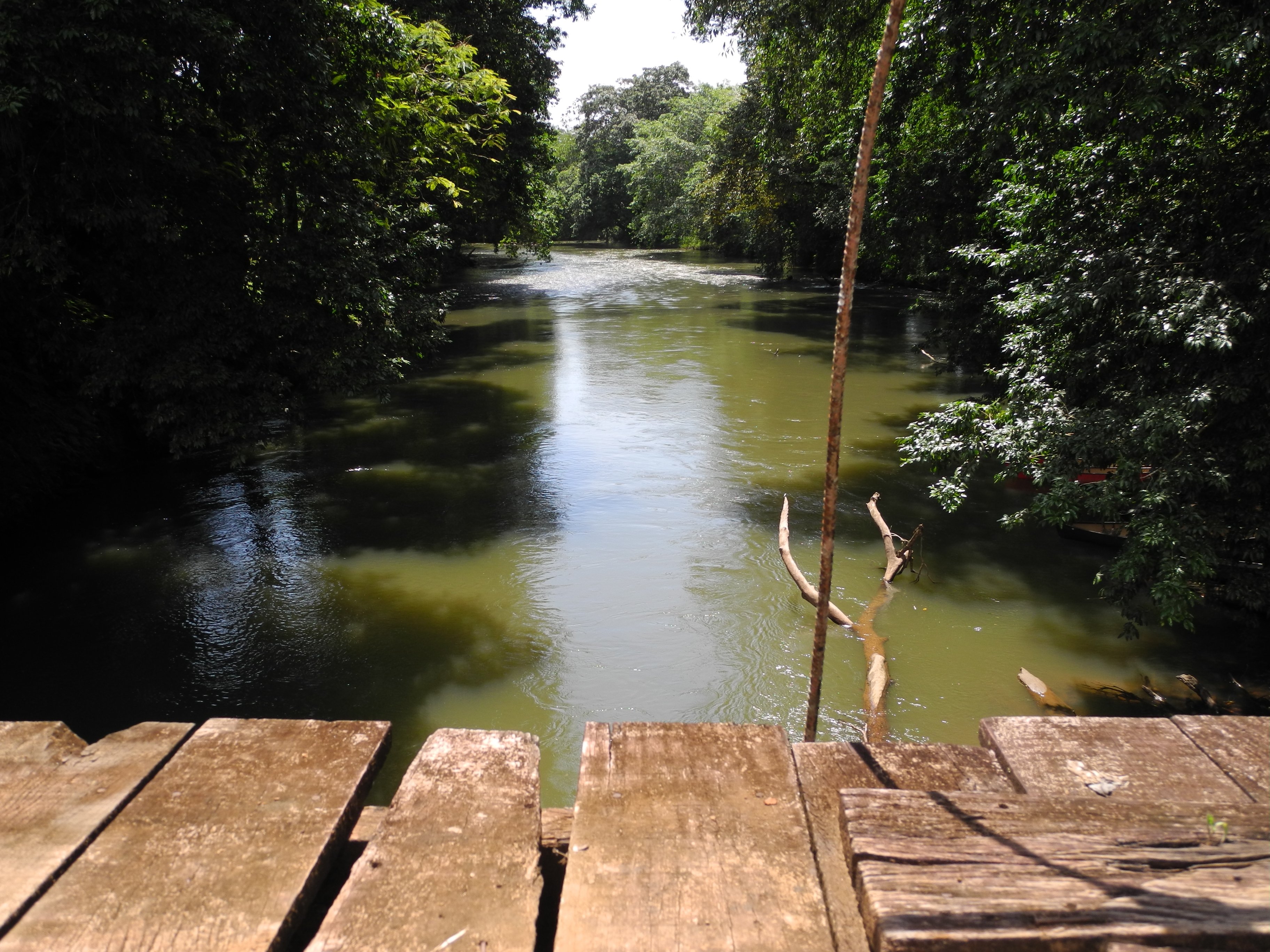
Rio Tres Amigos

Brücke in Castelmare
Topographic Map of San Carlos, Costa Rica
Find elevation by address:

Places in San Carlos, Costa Rica:
Places near San Carlos, Costa Rica:
San Vito
Boca Tapada
Maquenque Eco Lodge
La Laguna Del Lagarto Eco-lodge
La Laguna Del Lagarto Lodge
Buenos Aires
Sarapiquis Rainforest Lodge
La Virgen
Chilamate
Selva Verde Lodge
Chilamate Rainforest Eco Retreat
Sarapiqui
Heredia Province
Puerto Viejo De Sarapiqui
7j3h+q7
La Selva Biological Station
La Selva Biological Station
Colonia Virgen Del Socorro
6pg8+4g
6mcm+4v
Recent Searches:
- Elevation of Corso Fratelli Cairoli, 35, Macerata MC, Italy
- Elevation of Tallevast Rd, Sarasota, FL, USA
- Elevation of 4th St E, Sonoma, CA, USA
- Elevation of Black Hollow Rd, Pennsdale, PA, USA
- Elevation of Oakland Ave, Williamsport, PA, USA
- Elevation of Pedrógão Grande, Portugal
- Elevation of Klee Dr, Martinsburg, WV, USA
- Elevation of Via Roma, Pieranica CR, Italy
- Elevation of Tavkvetili Mountain, Georgia
- Elevation of Hartfords Bluff Cir, Mt Pleasant, SC, USA