Elevation of Alajuela Province, Alfaro Ruiz, Costa Rica
Location: Costa Rica > Alajuela >
Longitude: -84.391897
Latitude: 10.1864136
Elevation: 1733m / 5686feet
Barometric Pressure: 82KPa
Elevation Map:
Satellite Map:
Related Photos:
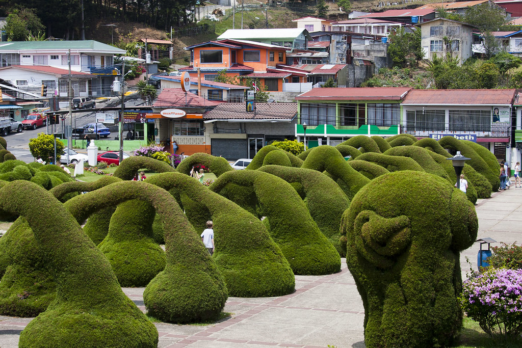
Topiary Arches (2) in Zarcero, Costa Rica (published)
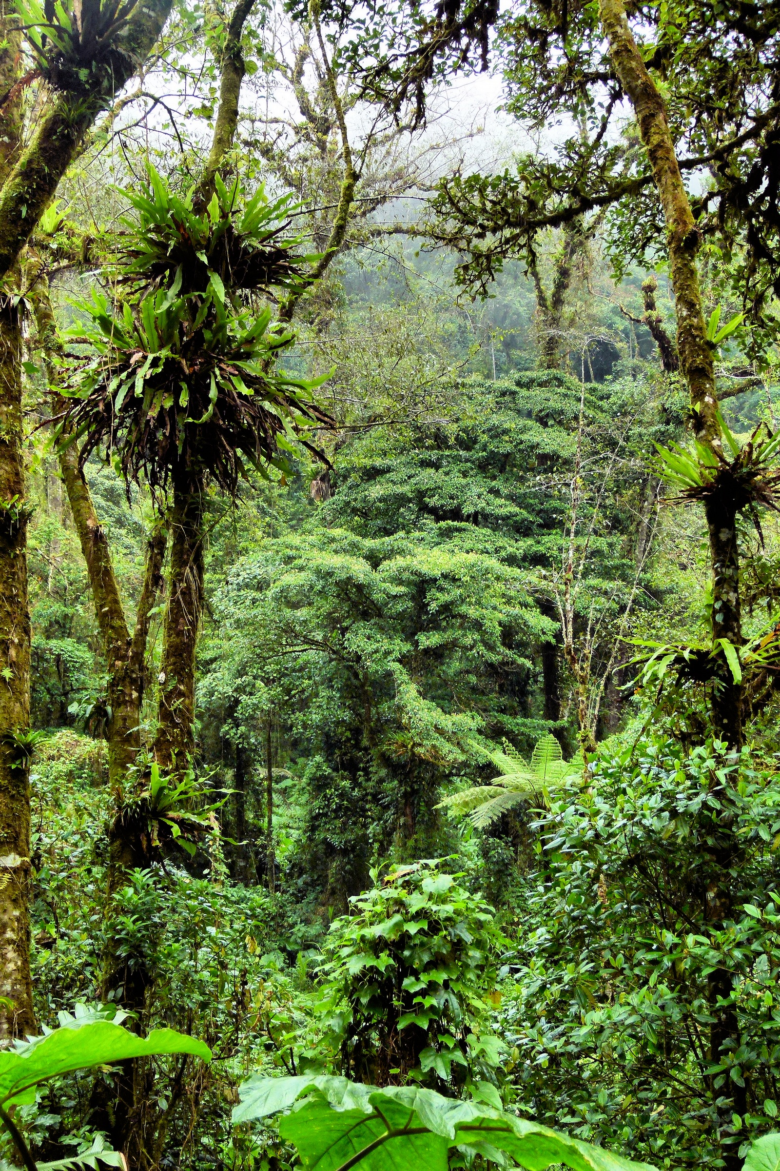
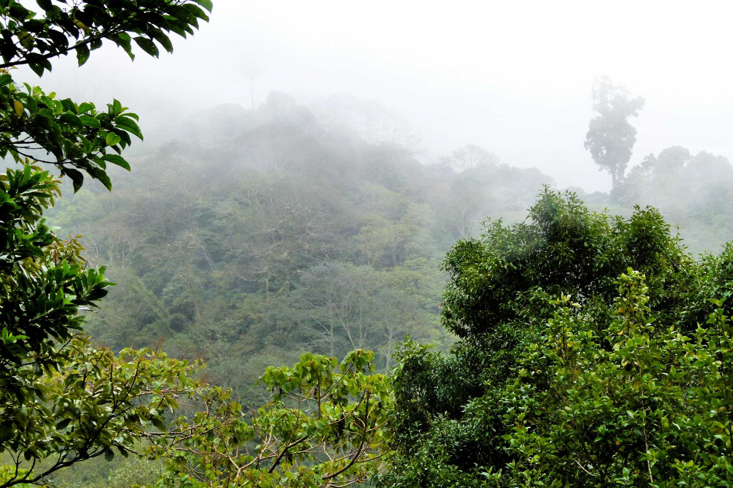
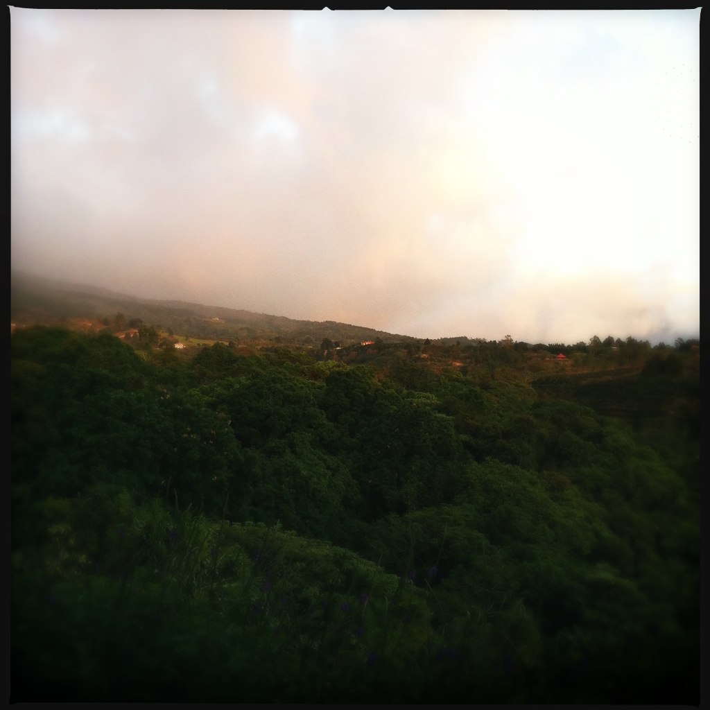
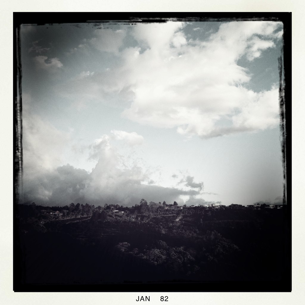
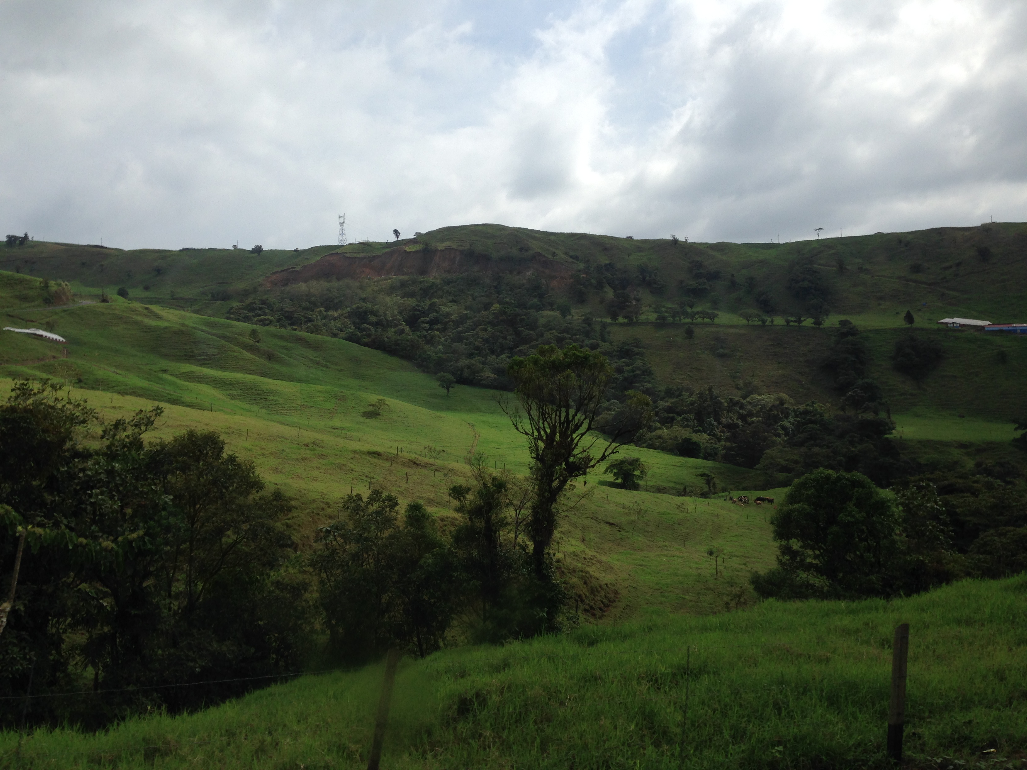
Cloud forest view

View from our cloud Forrest resort. That's Arenal wayyyy in the back.
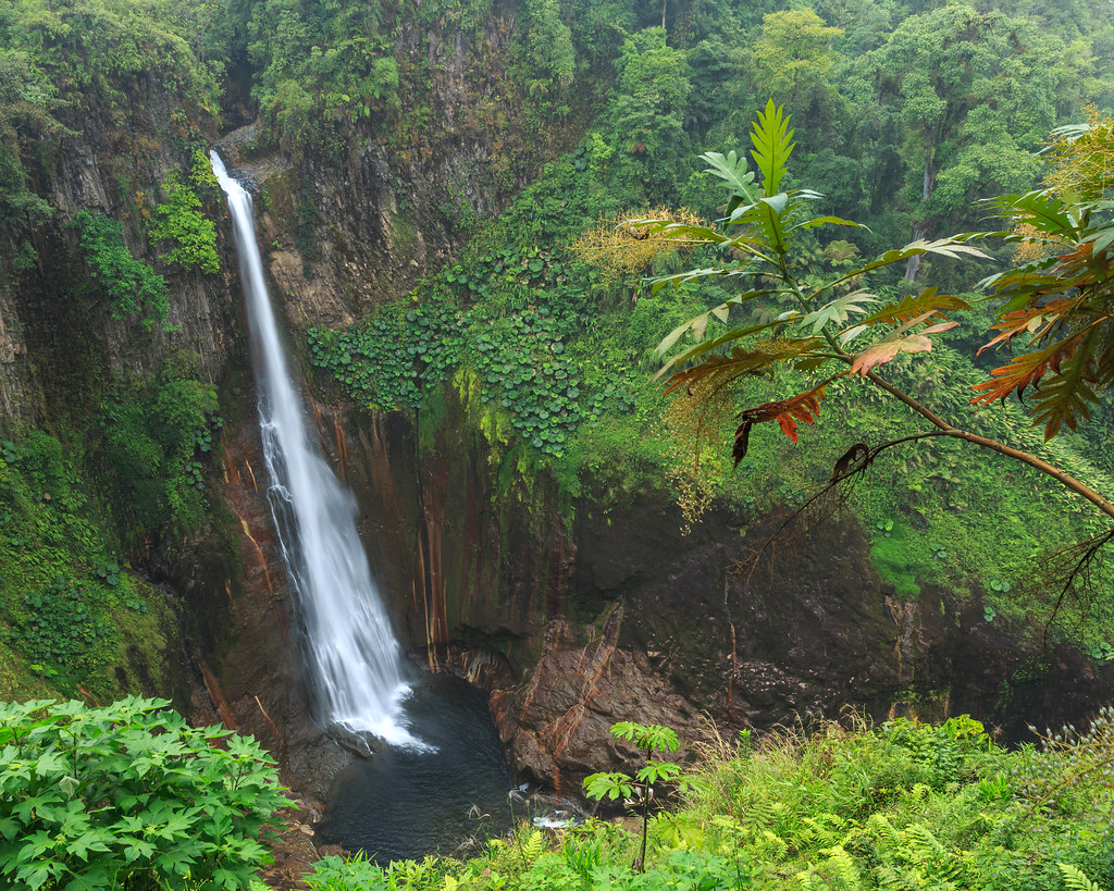
catarata del toro

Sunset view from San Ramon.
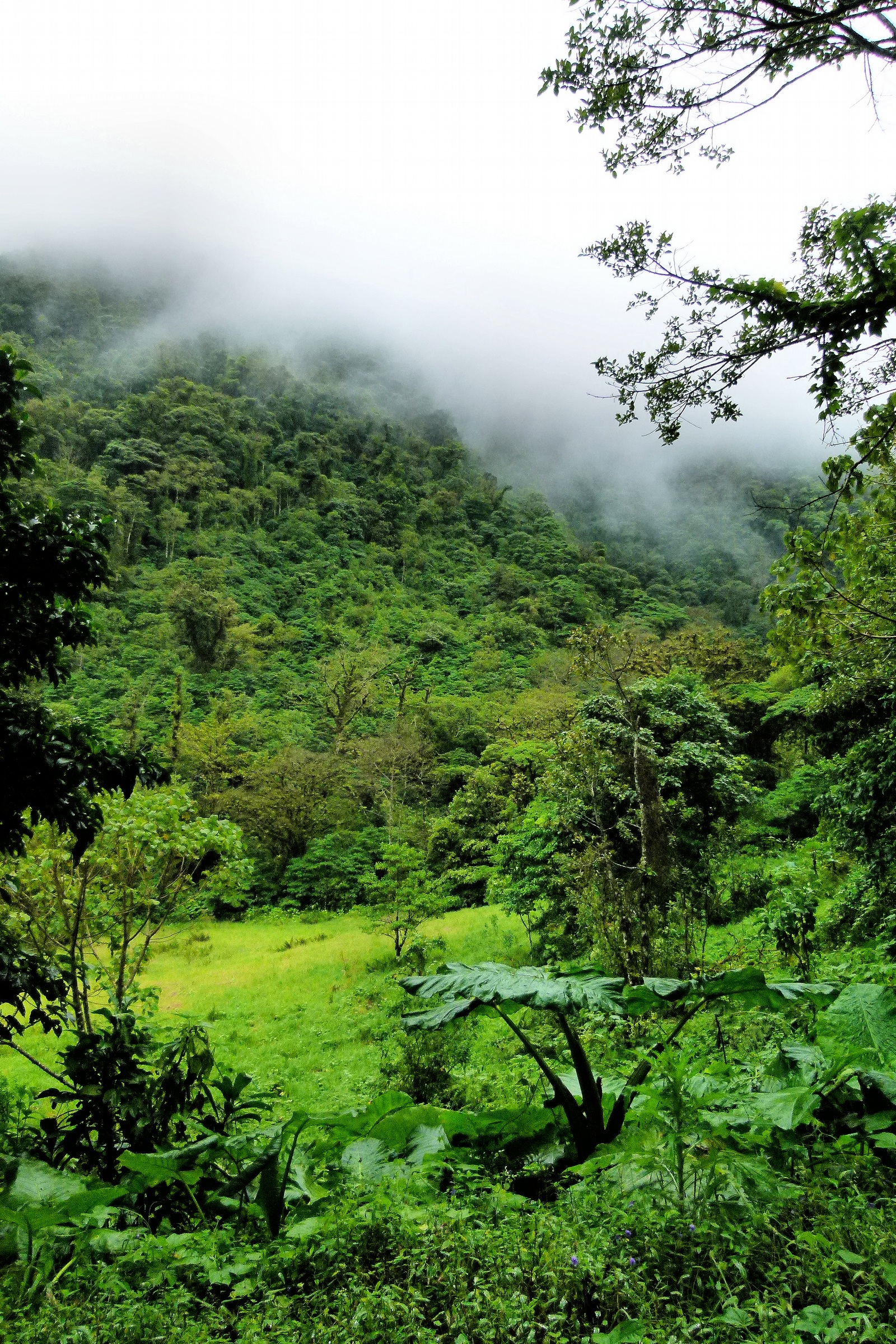
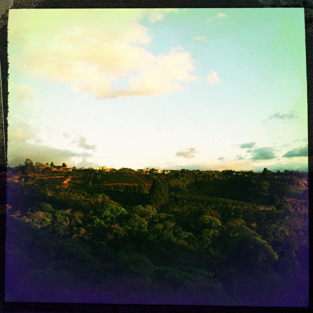
Cloud forest view

Cloud forest view

Zarcero Church
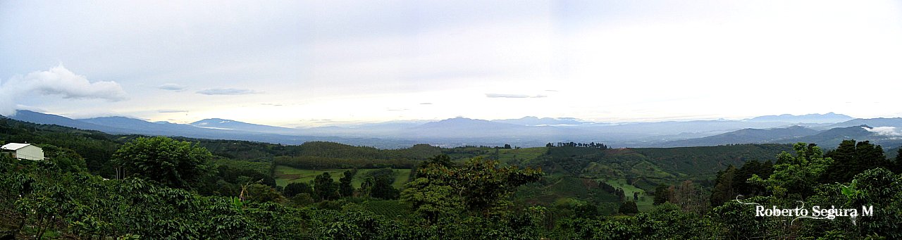
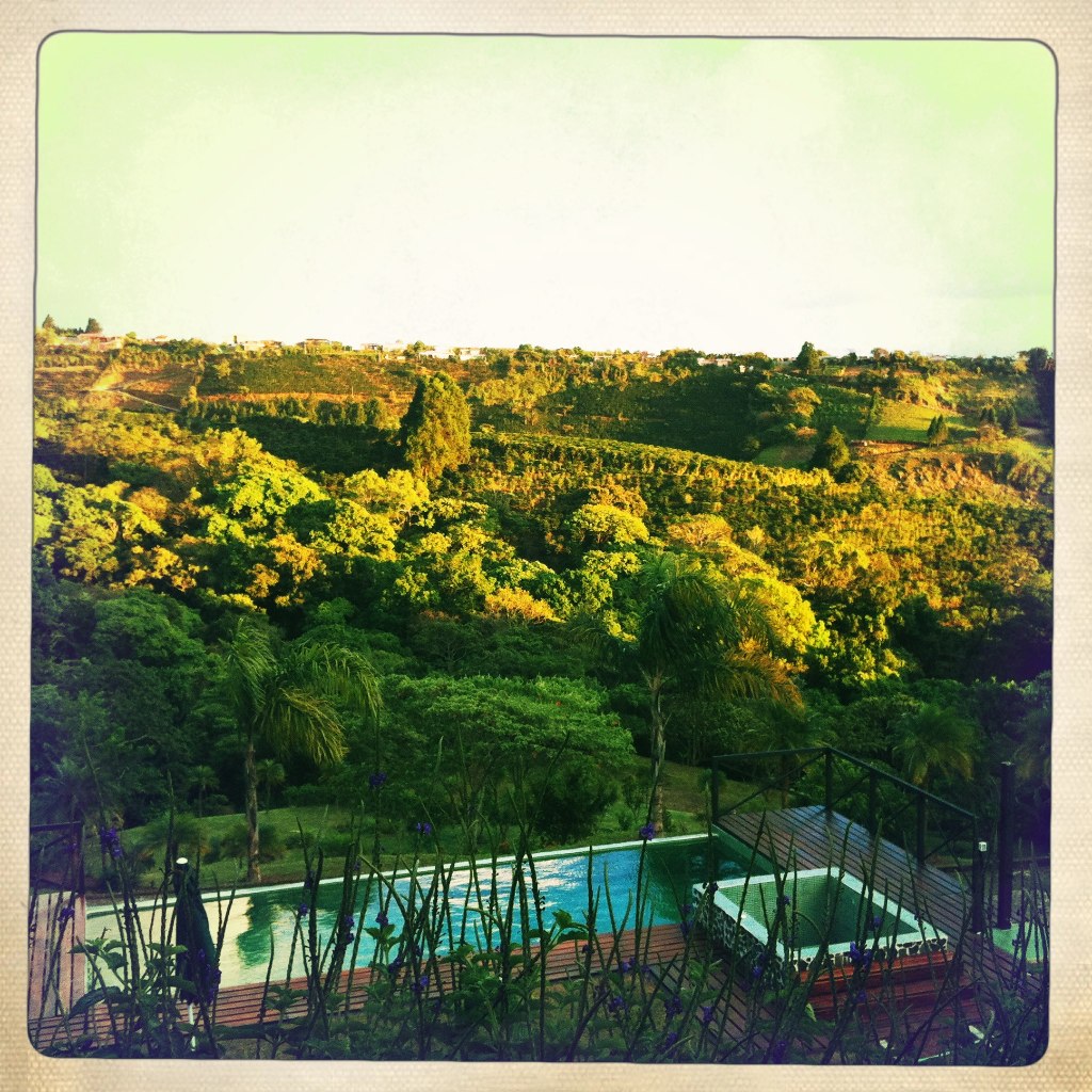
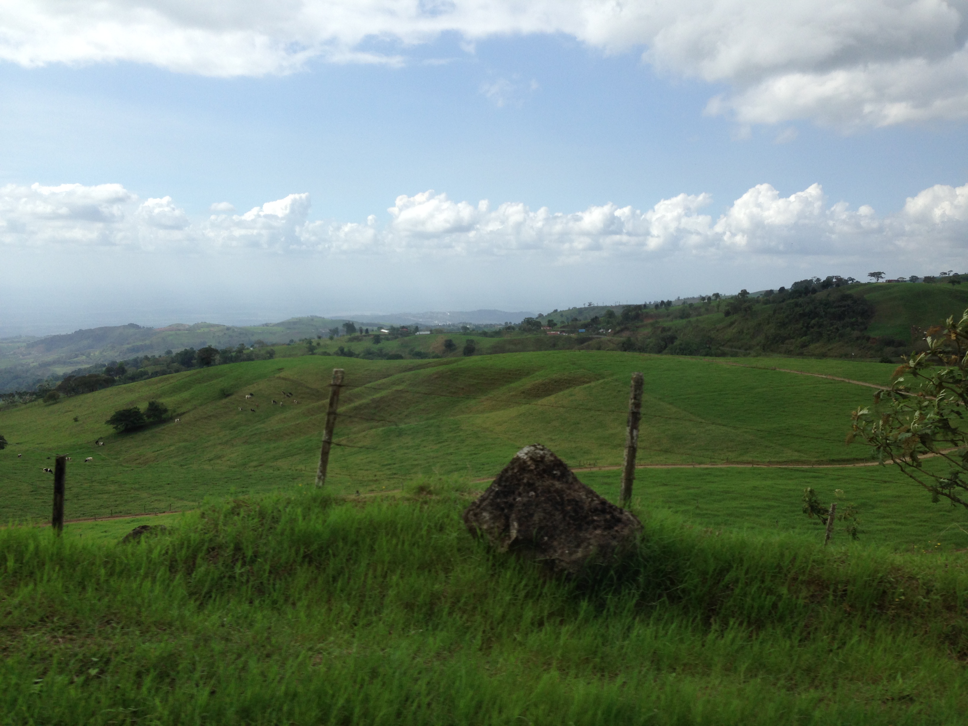
Vista del Valle Central

San Ramón downtown view from Berlín.

at the roadside

Buenos Días de Costa Rica

One last view of the Chapel

View from the chapel

A view over the edge
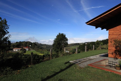
View in the morning from the cabinas near Helsar del Zarcero, Costa Rica
Cloud forest view

The road at night
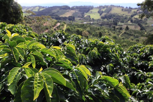
Catuai coffee and valley view at Claudio Salazar farm, Zarcero

On the second platform
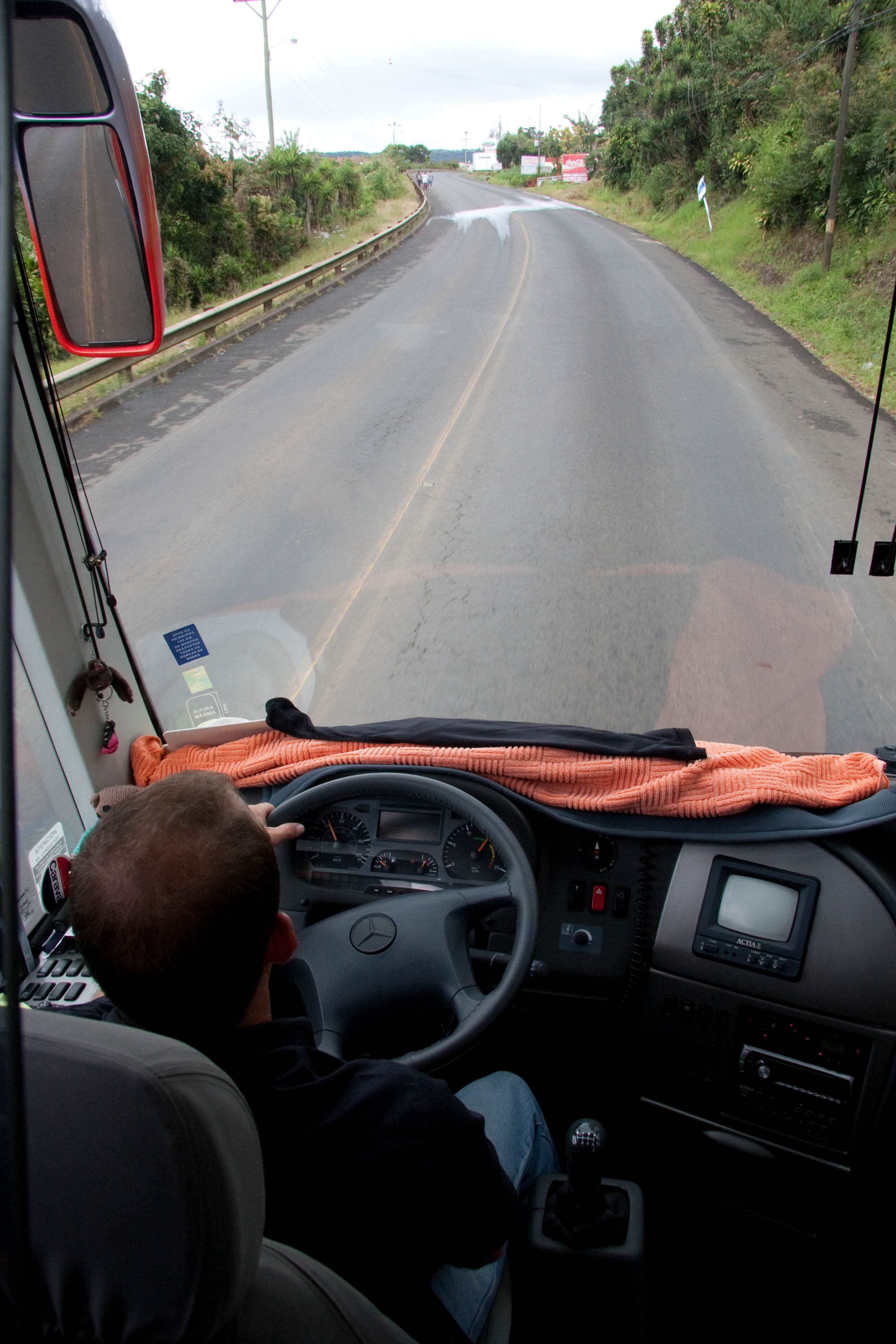
View From The Front Seat

Volcán Arenal
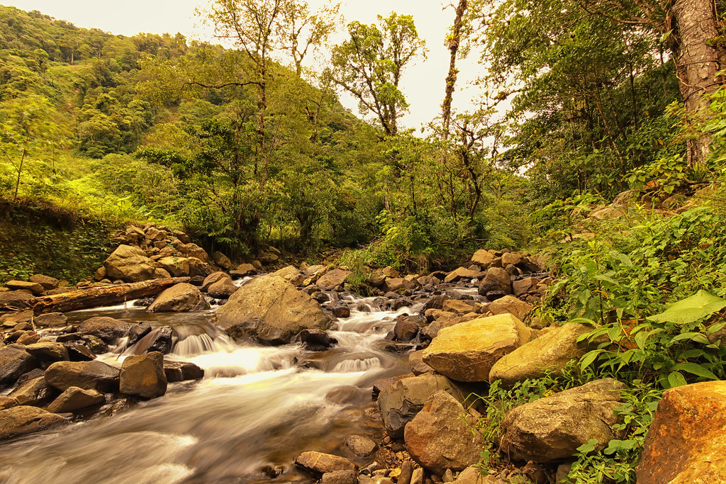
Río Bajos del Toro
Costa Rica 2012 4647
Costa Rica 2012 4631

Costa Rica 2012 4630
Costa Rica 2012 4637
Costa Rica 2012 4638

Magenta-throated Woodstar
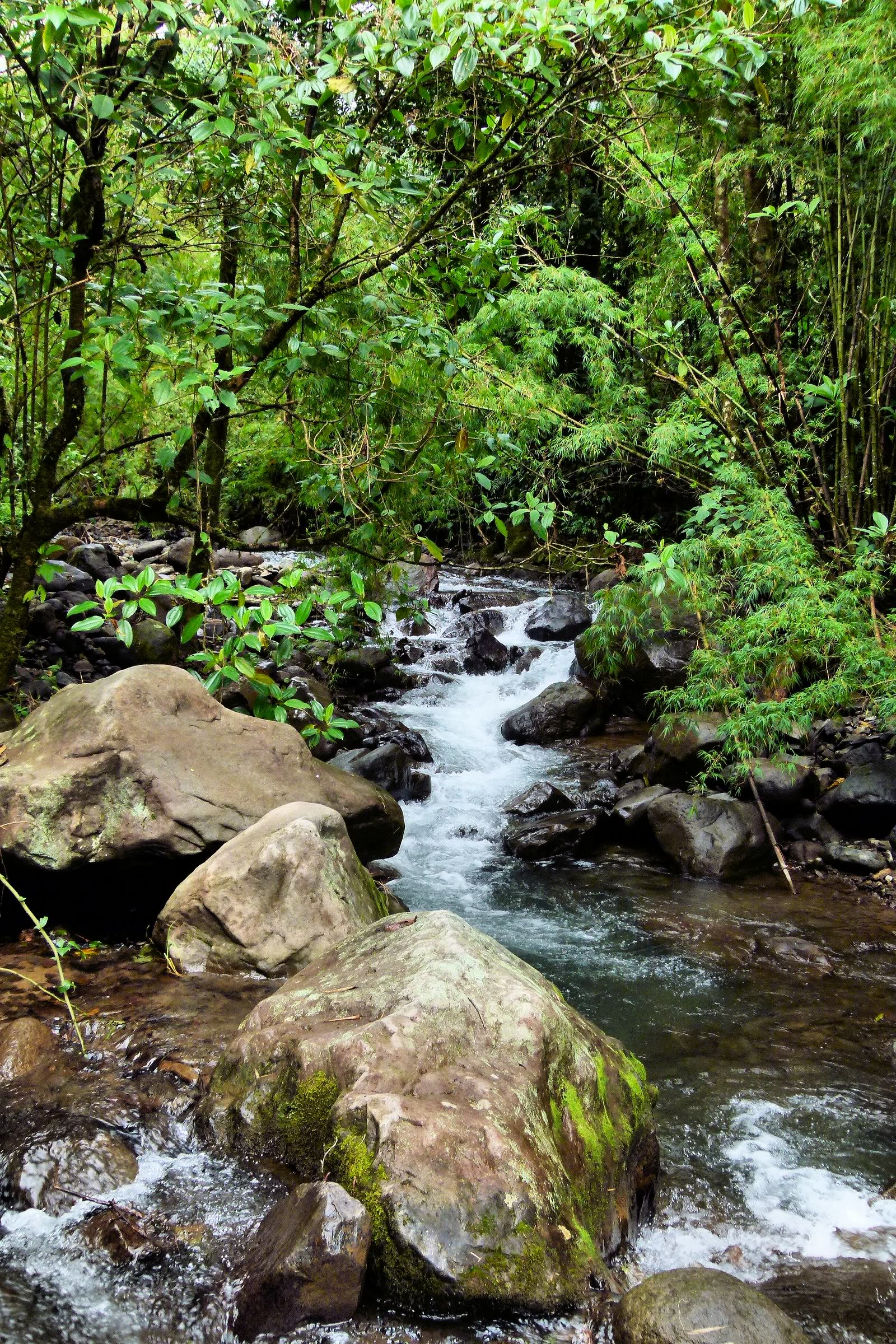
River through the reserve
On the road to la fortuna.... 8 hour trip, 3 different buses, £7 in total for the journey.

IMAGE_10.jpg
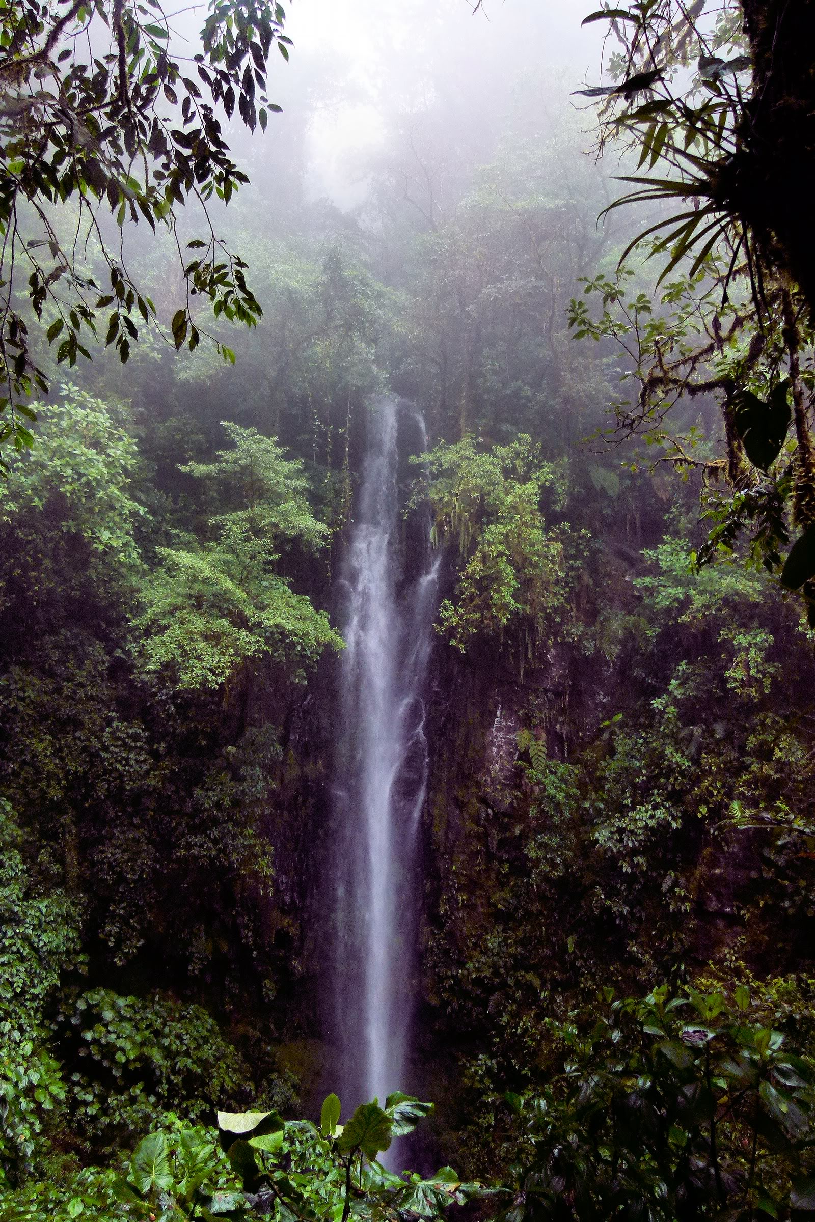
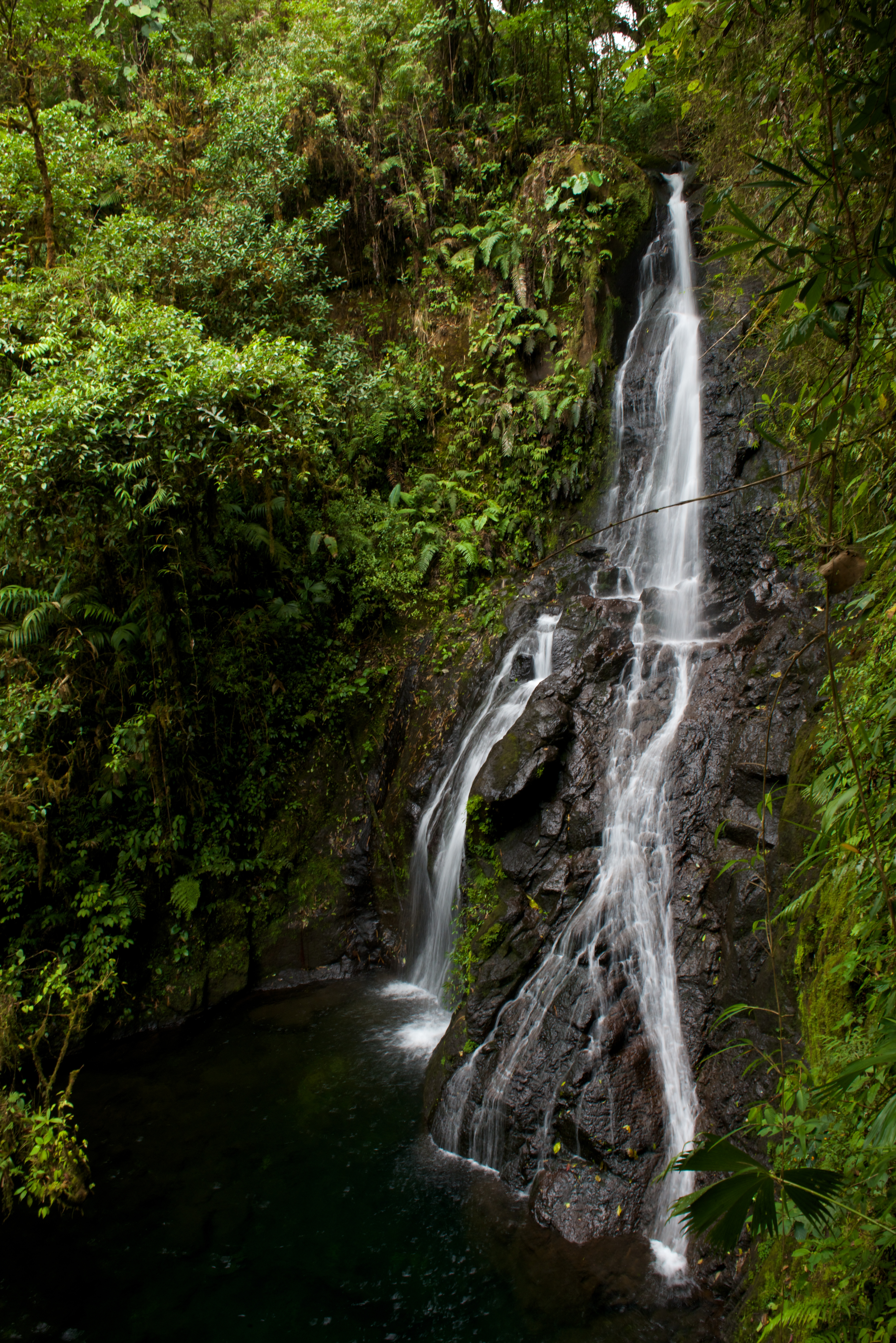
Waterfall on the reserve
On the road to la fortuna.... 8 hour trip, 3 different buses, £7 in total for the journey.
Waterfall on the reserve
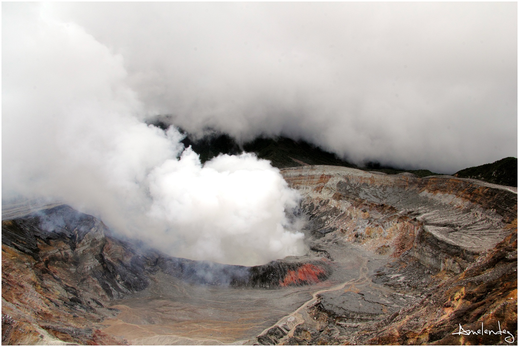
Volcán Poás, Costa Rica

On the road to la fortuna.... 8 hour trip, 3 different buses, £7 in total for the journey.
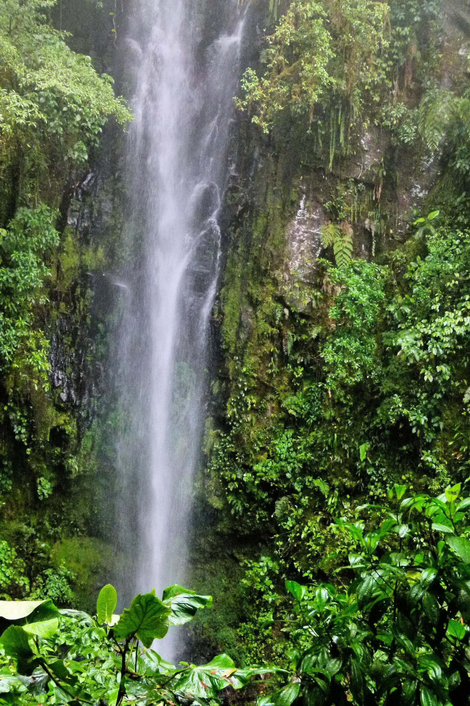
Cataratas Bajos del Toro Amarillo (CR)
Topographic Map of Alajuela Province, Alfaro Ruiz, Costa Rica
Find elevation by address:

Places near Alajuela Province, Alfaro Ruiz, Costa Rica:
Librería Zarcero
Naranjo
Volio
Naranjo De Alajuela
Centro Comunidad Cristiana, Bajo Tejares
Bajo Tejar
El Invu
San Ramon
Hotel San Ramon
Piedades Norte
Palmares
Rosario
Escuela Bajo La Paz
Zaragoza
Vista Valverde Pacific View Rentals
Piedades Sur
Magallanes
Ruta Nacional Treciaria 742
San Ramón
Los Alpes - Regenwaldlodge
Recent Searches:
- Elevation of Kambingan Sa Pansol Atbp., Purok 7 Pansol, Candaba, Pampanga, Philippines
- Elevation of Pinewood Dr, New Bern, NC, USA
- Elevation of Mountain View, CA, USA
- Elevation of Foligno, Province of Perugia, Italy
- Elevation of Blauwestad, Netherlands
- Elevation of Bella Terra Blvd, Estero, FL, USA
- Elevation of Estates Loop, Priest River, ID, USA
- Elevation of Woodland Oak Pl, Thousand Oaks, CA, USA
- Elevation of Brownsdale Rd, Renfrew, PA, USA
- Elevation of Corcoran Ln, Suffolk, VA, USA